50m
50m
Note
 100m
11Km
11.2Km
11.5Km
13.8Km
13.8Km
13.8Km
13.8Km
100m
11Km
11.2Km
11.5Km
13.8Km
13.8Km
13.8Km
13.8Km
50m
100m
150m
200m
200m
200m
300m
350m
350m
550m
Prendendo spunto dalla gita scialpinistica alla medesima cima, propongo questo percorso ad anello per racchette da neve, più breve in quanto non prevede di scendere dall'Angroniettes sul versante valdostano fino alla quota 2368 m slm (carta svizzera) e di risalire al colletto posto a quota 2522 m slm sulle Aretes des Econduits, bensì di ritornare al Col du Ban Darrey, salire la vicina Pointe de Combette e da lì scendere direttamente a La Peule ricongiungendosi con l'itinerario della Grand Six Blanc.
Avvicinamento
Entrati in Svizzera dal Traforo del Gran San Bernardo si scende fino ad a Orsières, dove si svolta a sinistra risalendo la val Ferret svizzera fino a La Fouly. In inverno la strada è chiusa in località Le Clou. Piccolo parcheggio a sinistra immediatamente prima del divieto.
Descrizione
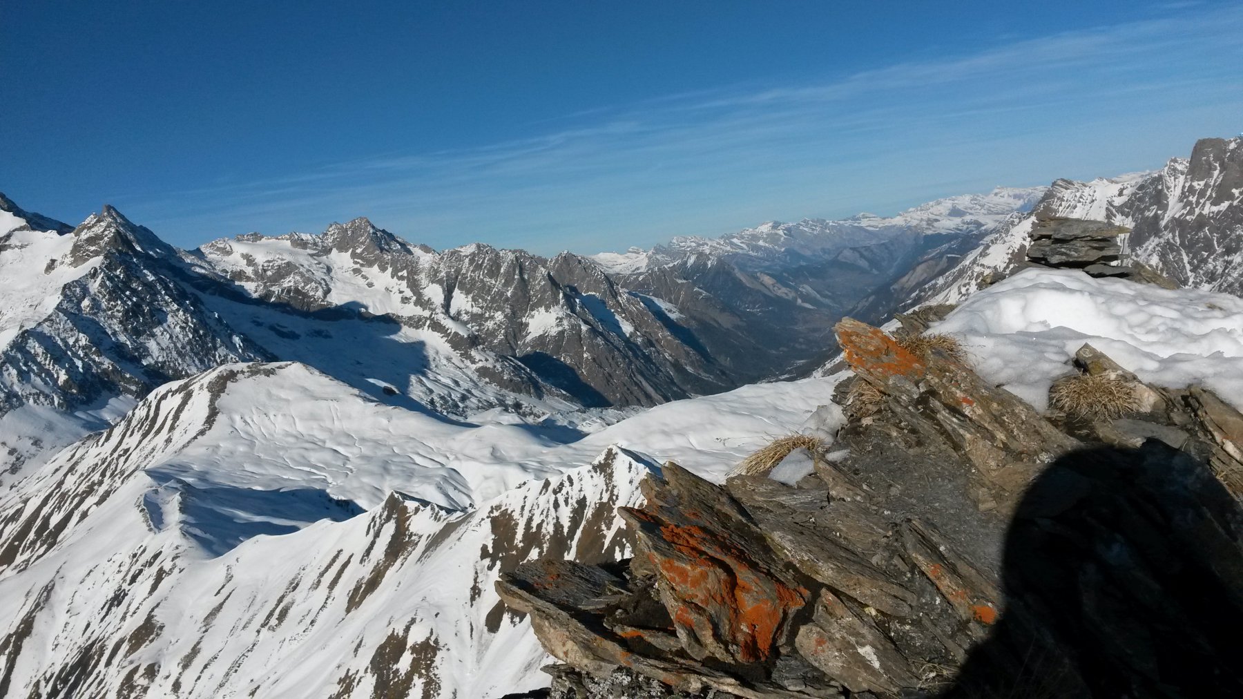
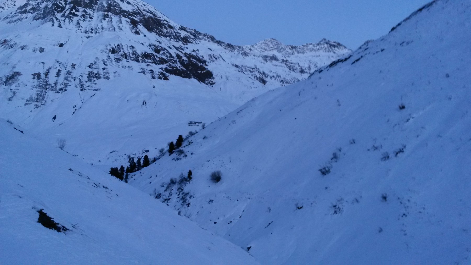
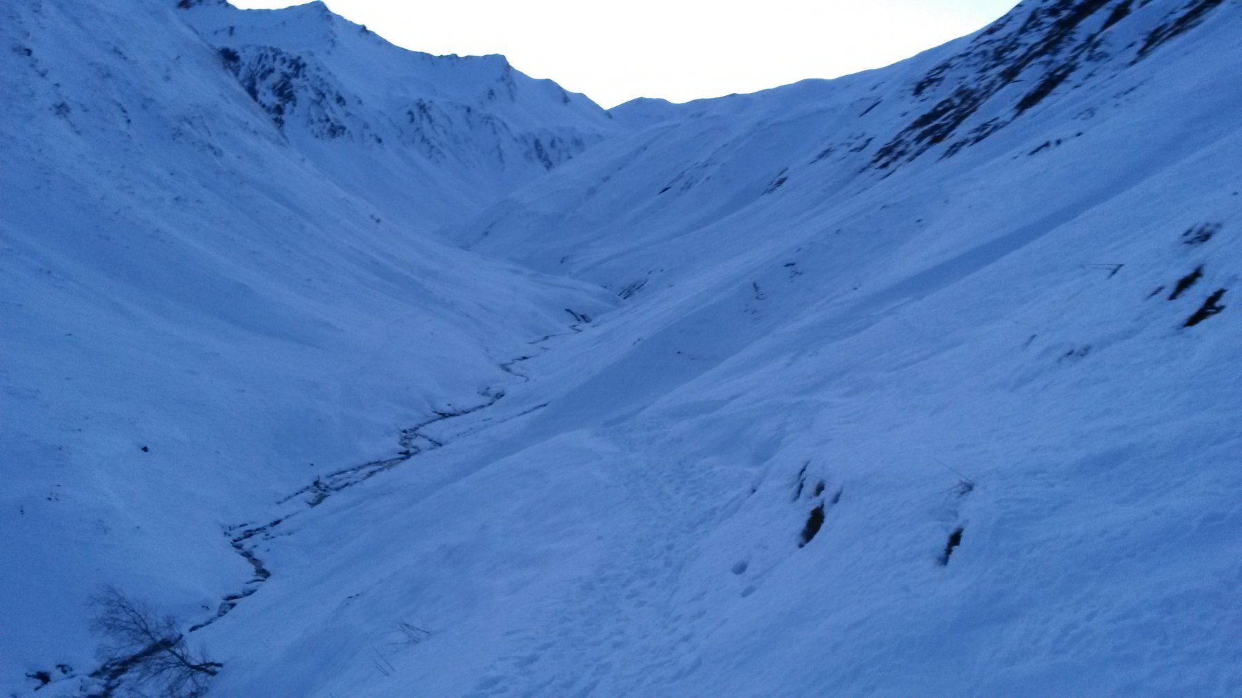
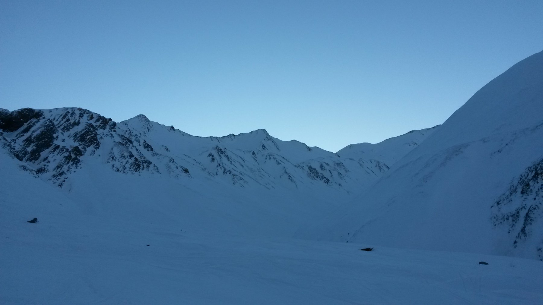
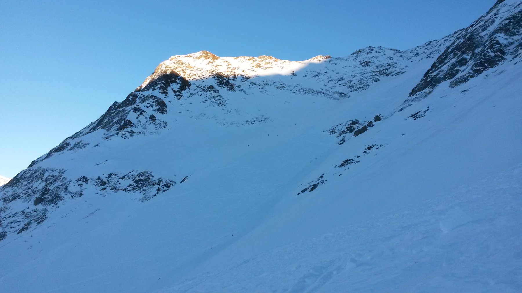
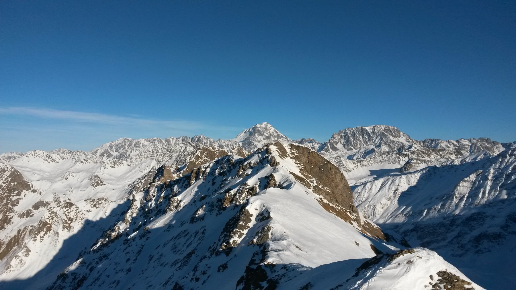
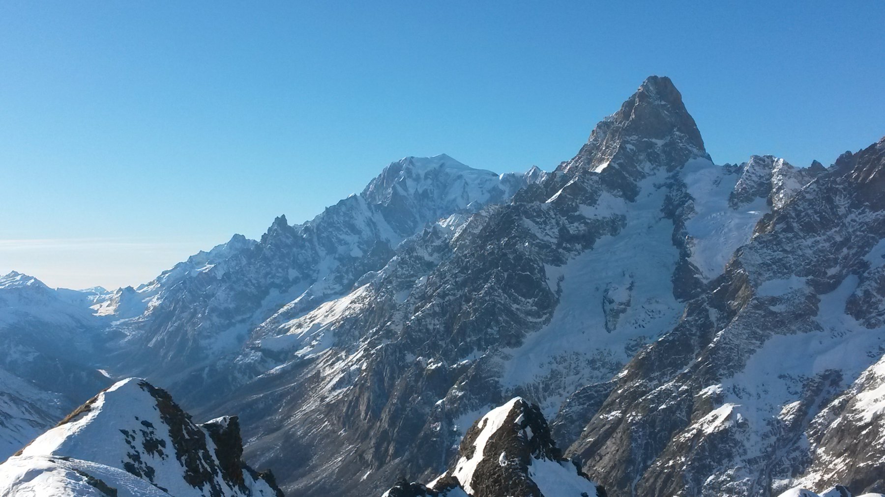
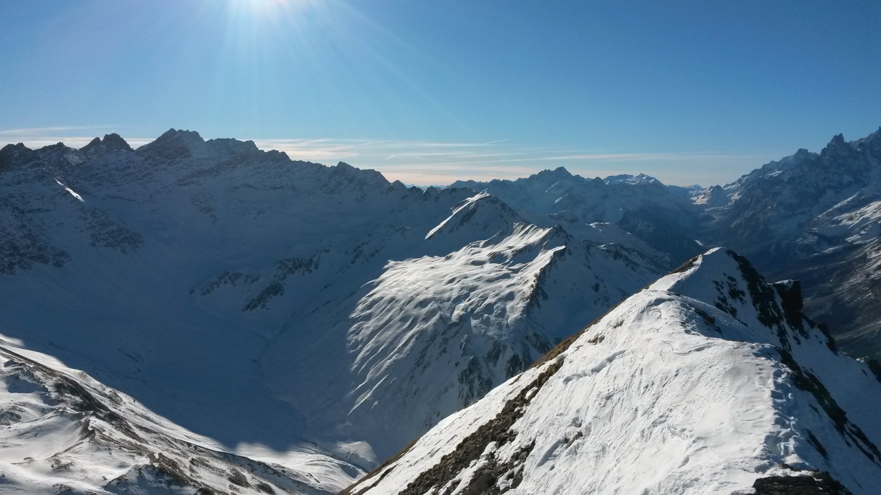
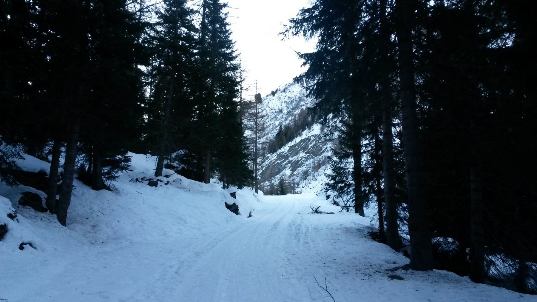
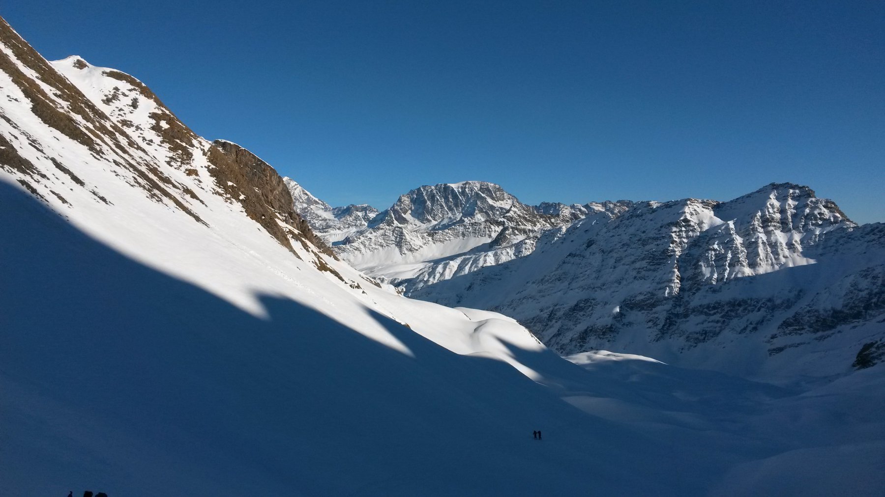
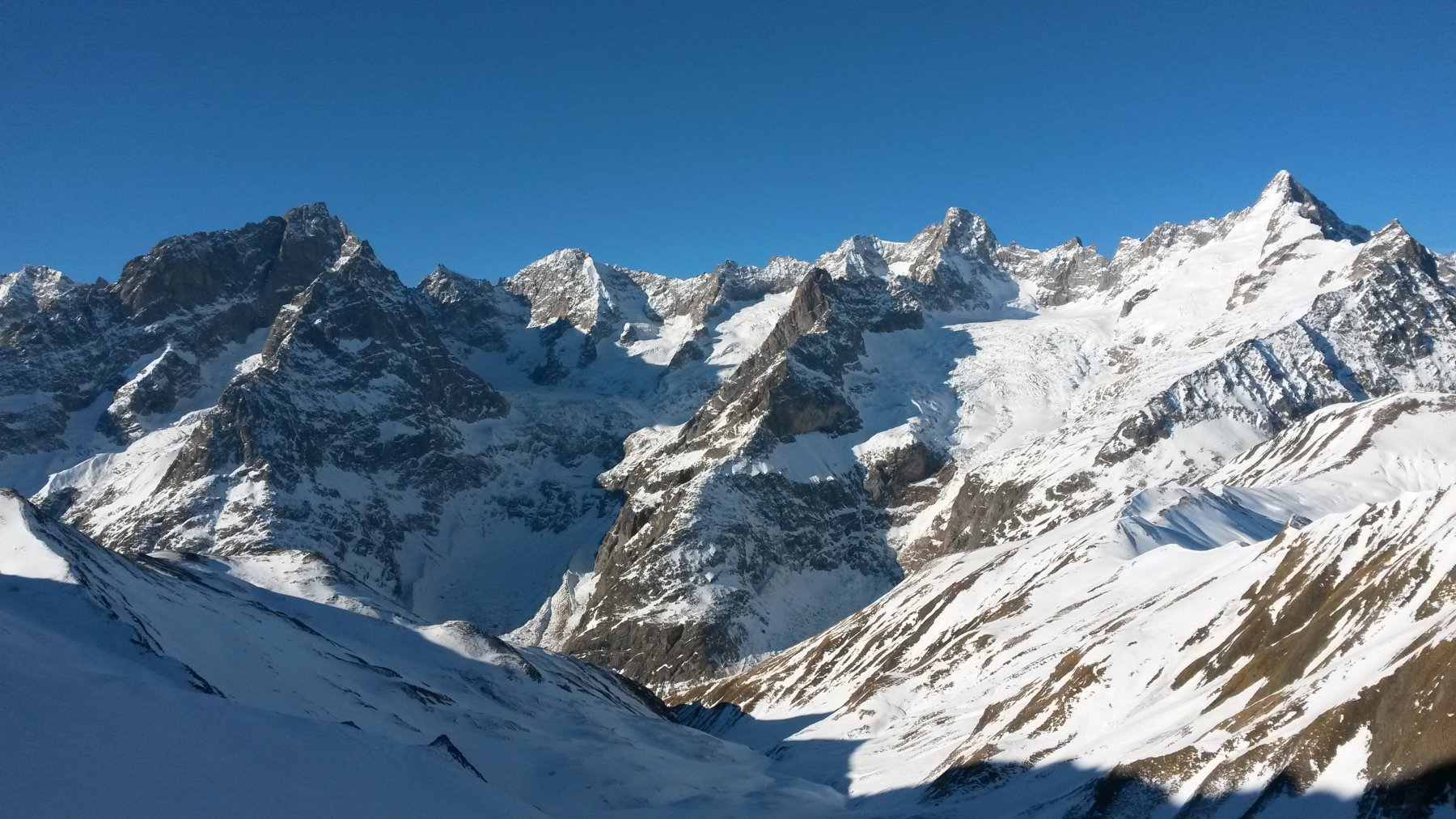
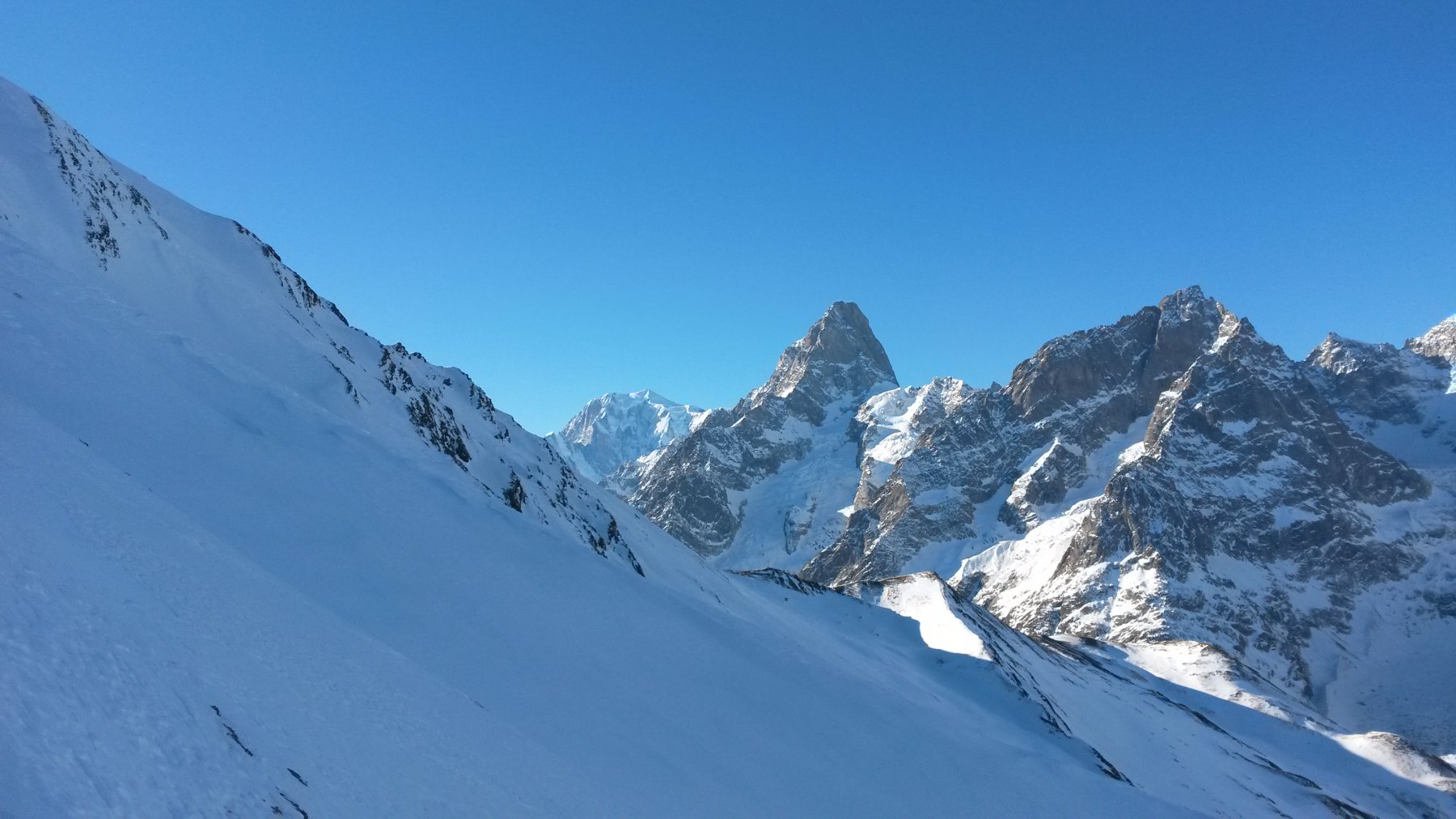
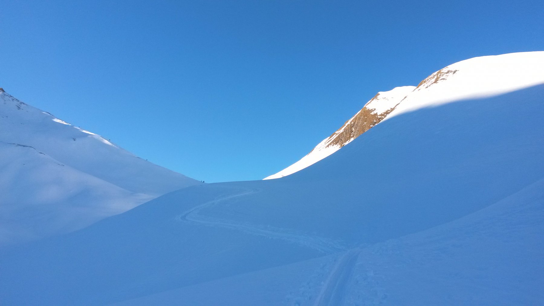
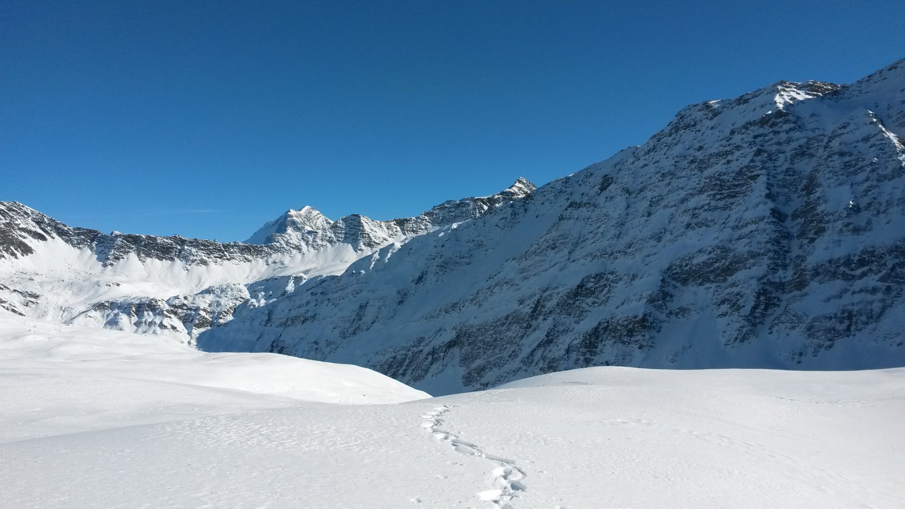
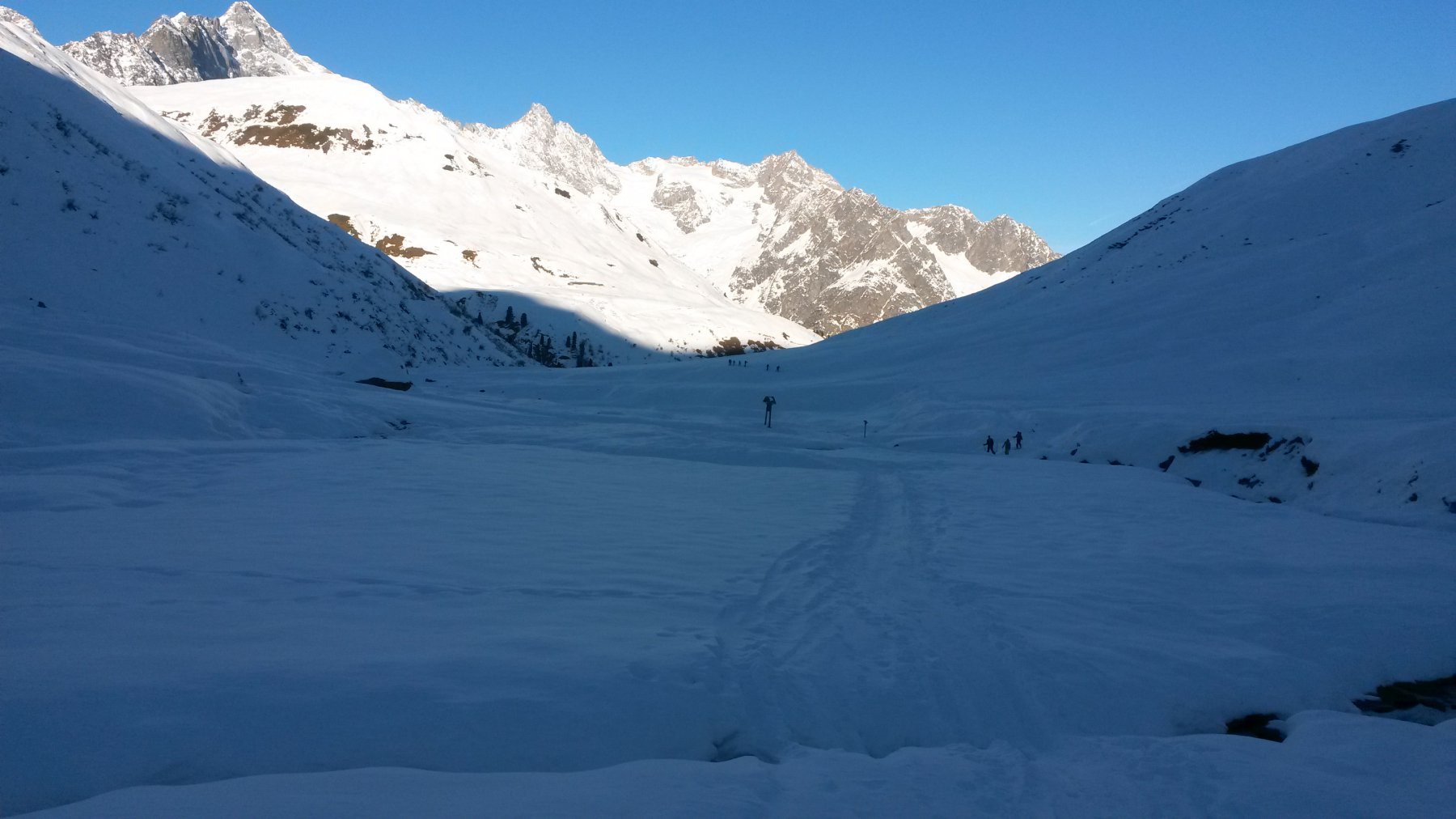
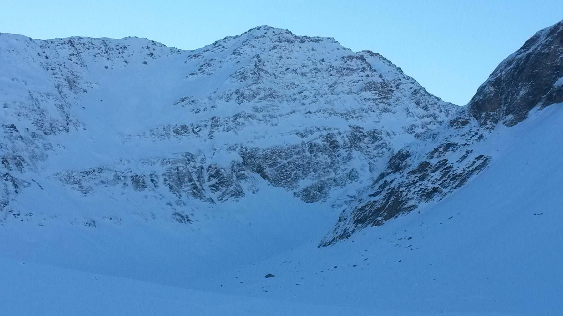
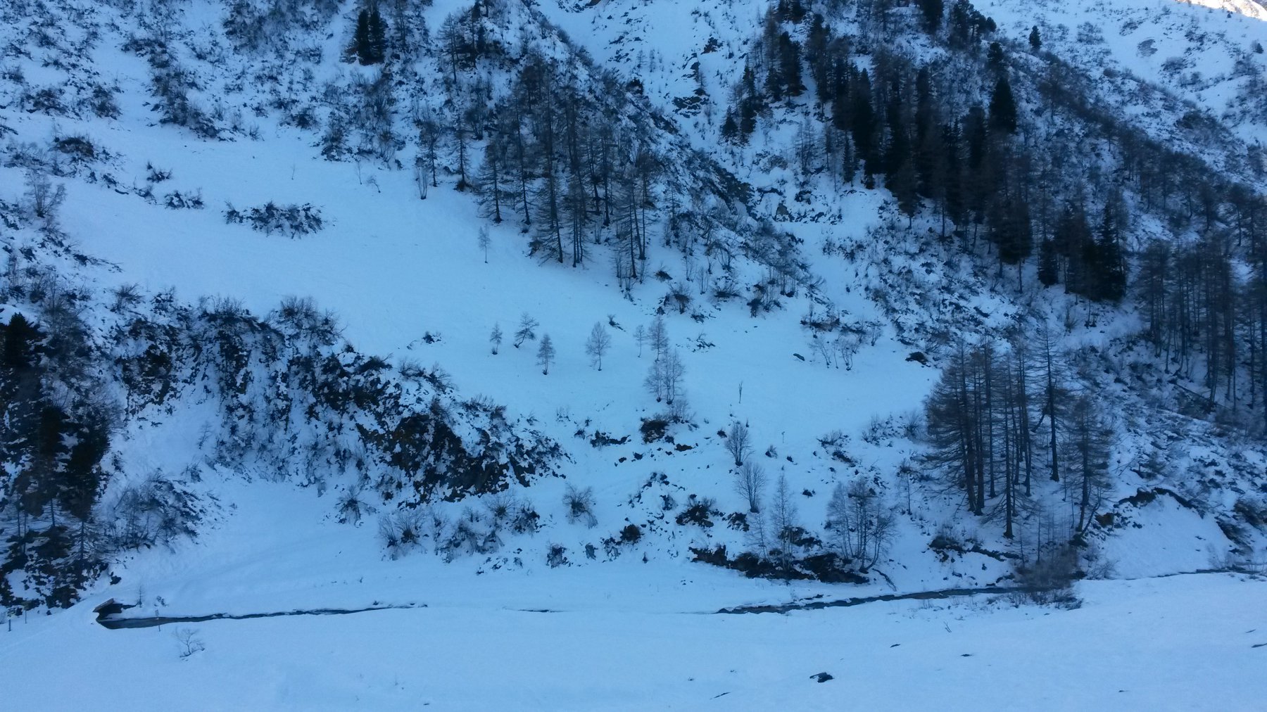
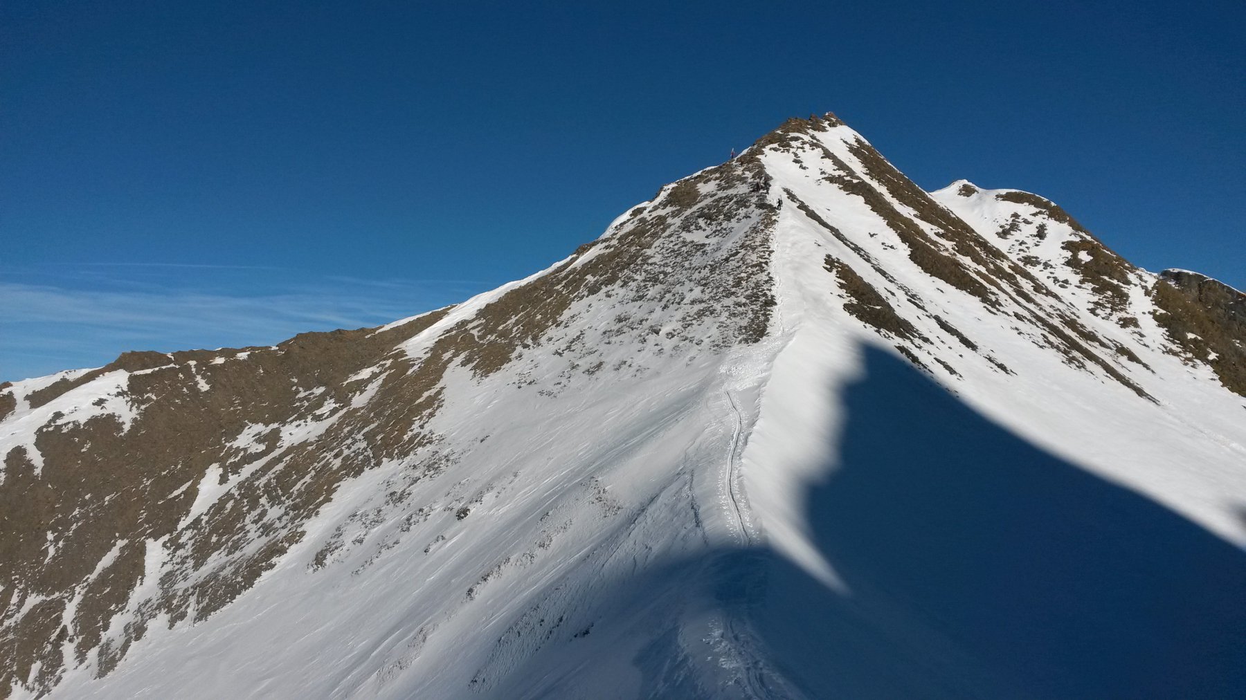
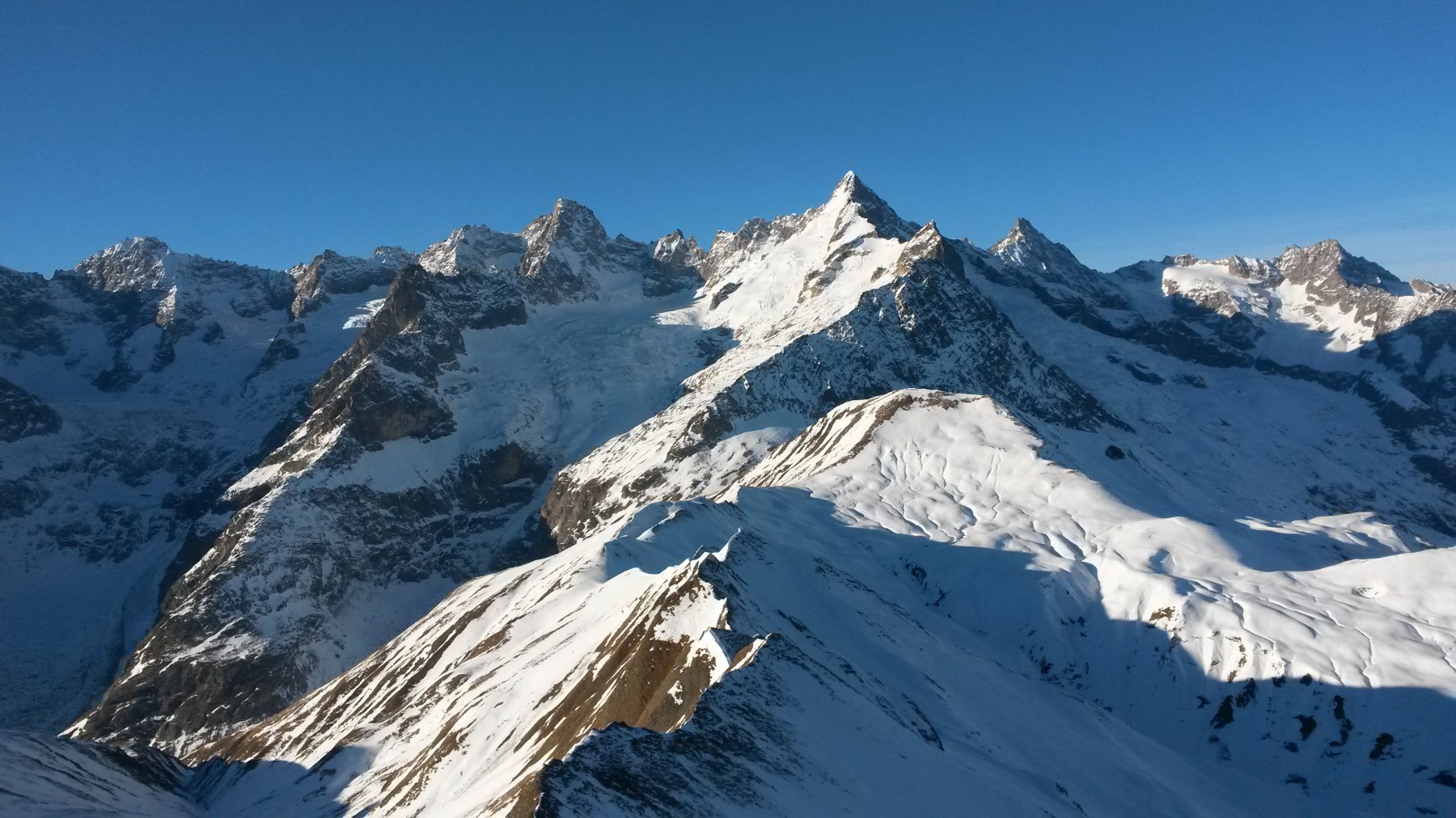
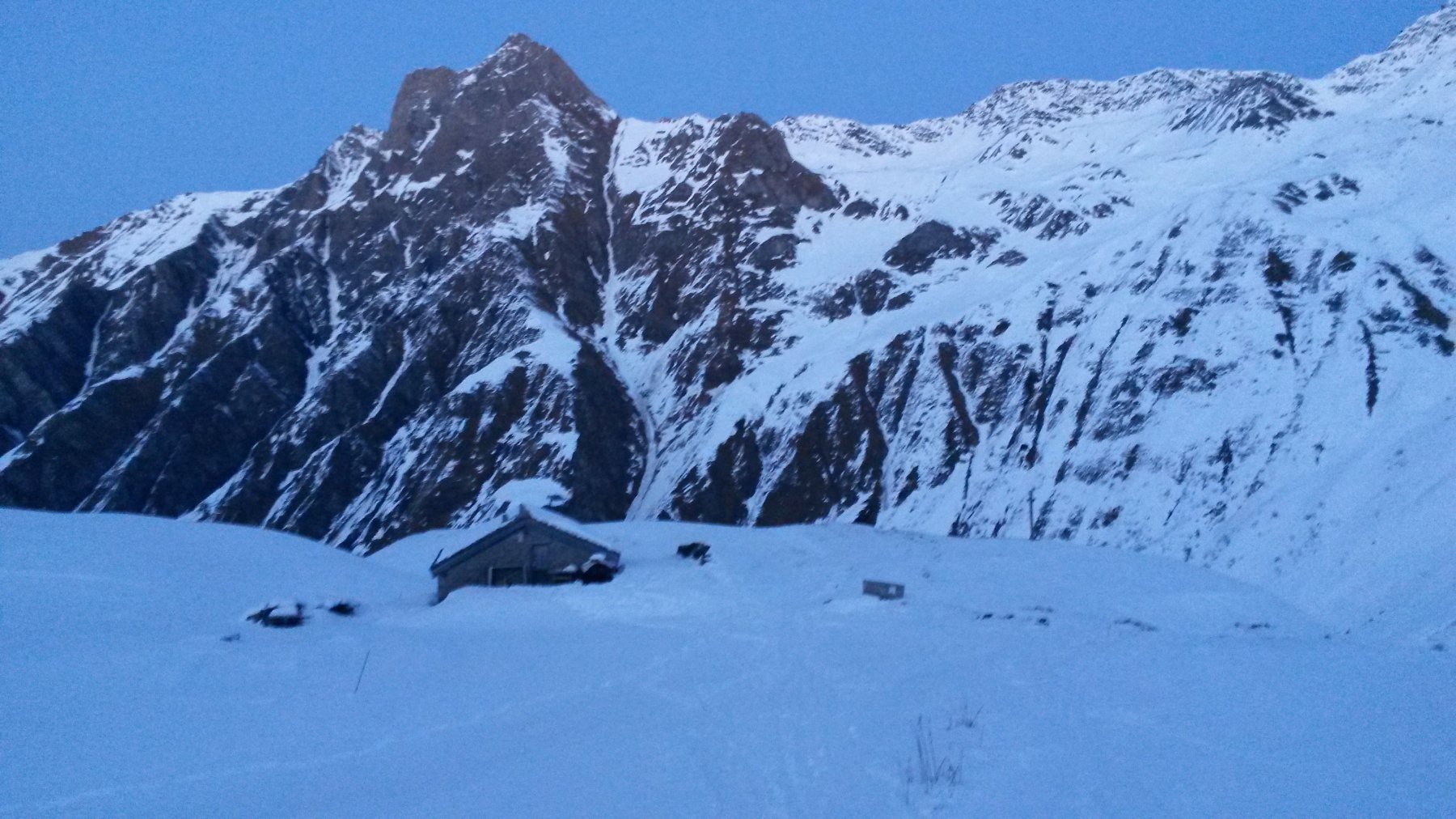
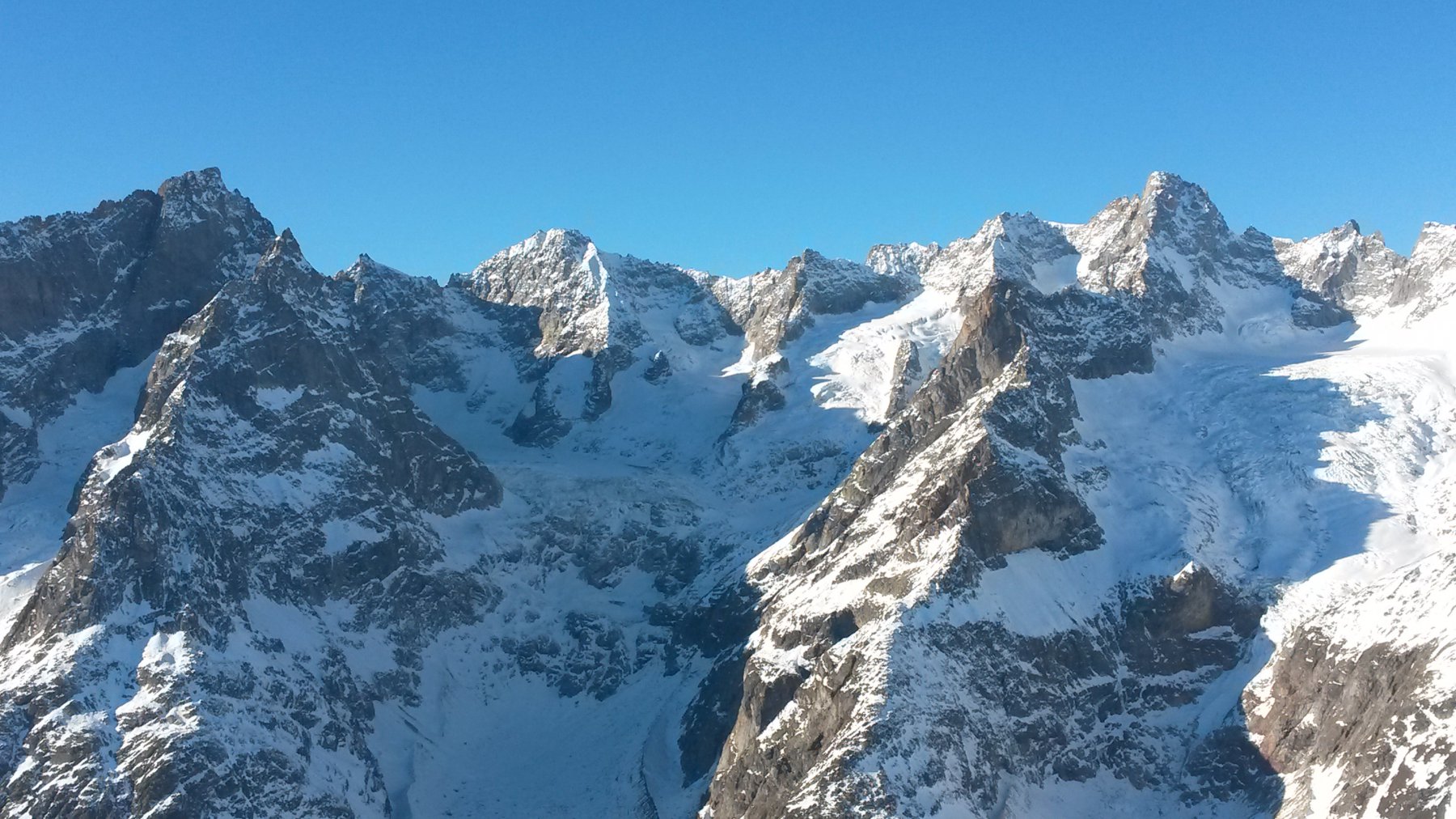
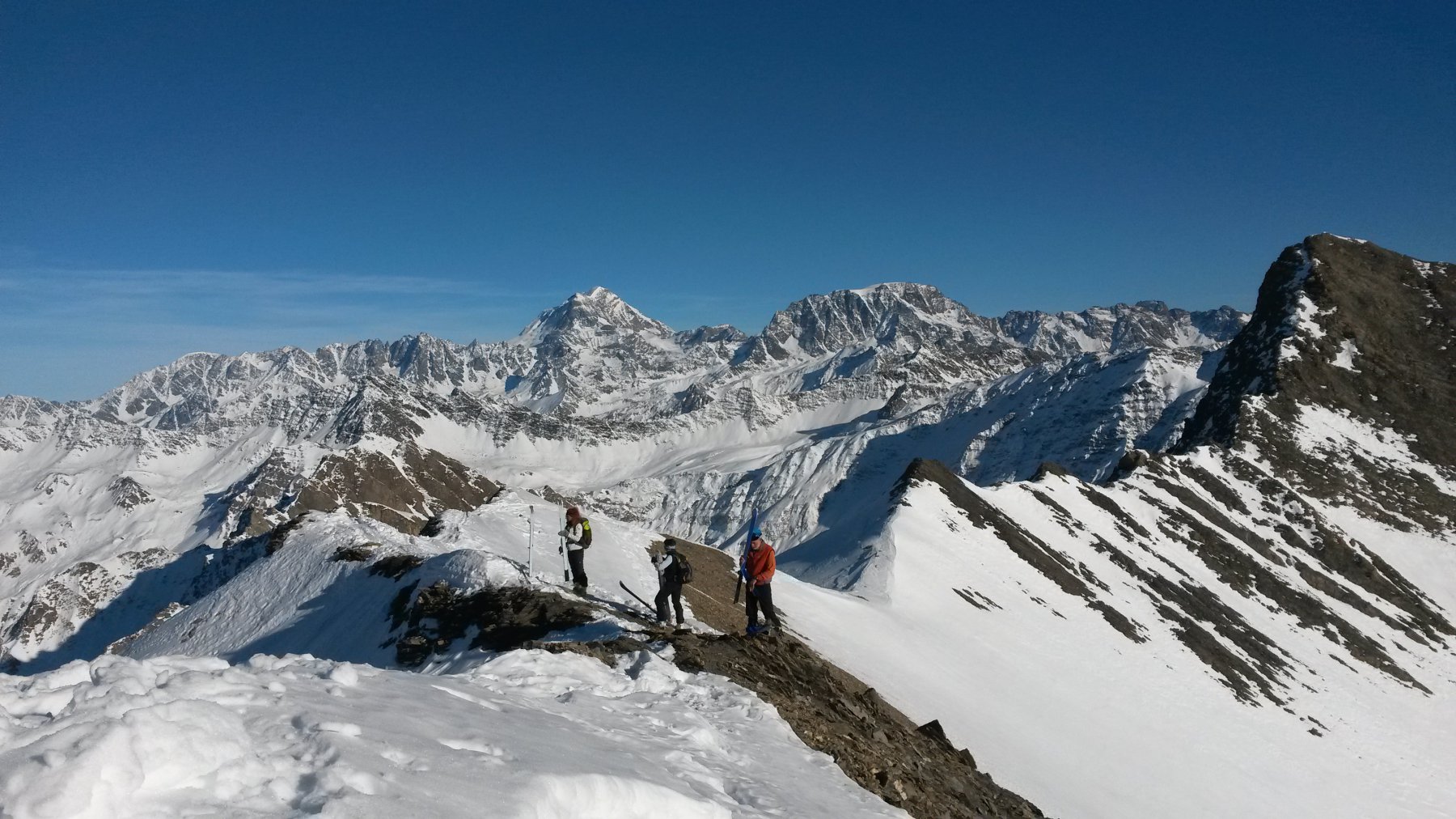
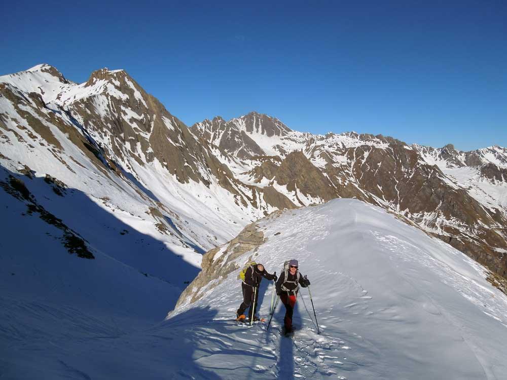
Da Le Clou seguire la strada sul fondo della Valle della Dranse de Ferret. Oltrepassare il villaggio di Ferret, il punto di Les Ars (terminale estivo della strada, verso destra bivio per il Grand Col Ferret e per l’alpeggio di La Peule da cui torneremo) e continuare lungo il tracciato stradale, alla destra orografica del torrente, fino a Le Plan de Chaux, dove solitamente la neve copre tutto. Da qui continuare a seguire il vallone che a quota 2100 m slm circa volge verso ovest, lasciare a sinistra un piccolo fabbricato e continuare a salire lungo il vallone fino a raggiungere il Col du Ban Darrey (2695 m slm). Dal colle (vista mozzafiato su Monte Bianco e Grand Jorasses) seguire a sinistra (ovest) la bella dorsale di cresta che, dopo una prima parte più ripida (ma non troppo esposta), diviene quasi pianeggiante e porta in breve alla cima della Aiguille des Angroniettes. Indescrivibile il panorama a 360 gradi sul Gruppo del Monte Bianco a ovest e su quello del Grand Combin ad est. Verso sud il versante valdostano mostra praticamente ogni cima, dalla vicina Aiguille de Lesache (altra gita gulliveriana) al lontano Gran Paradiso. A nord si vedono degradare le Alpi della Svizzera francese oltre Martigny. Dovendo scegliere cosa descrivere, non si può tacere dei ghiacciai del versante orientale del Massiccio del Bianco che sembrano a portata di mano, della mitica cresta di Peuterey di cui si scorge quasi ogni guglia, nonchè dell’impressionante Punta Walker teatro dell’impresa di Cassin negli anni Trenta.
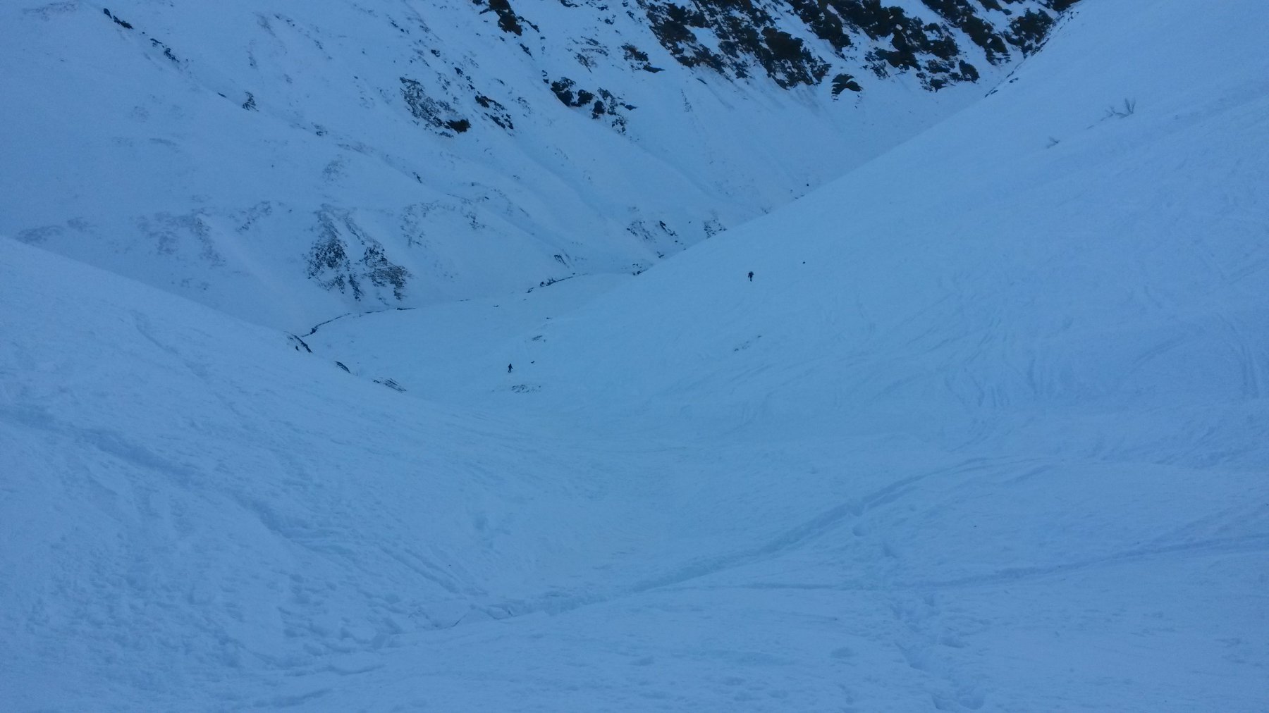
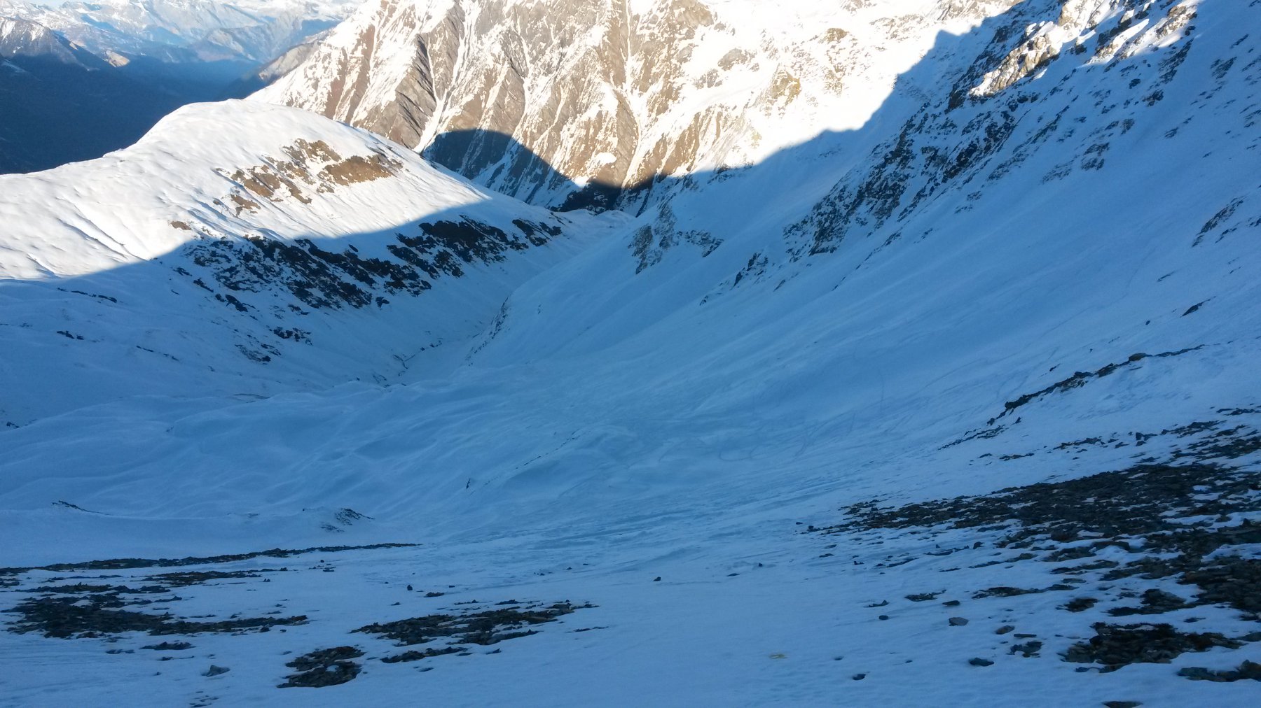
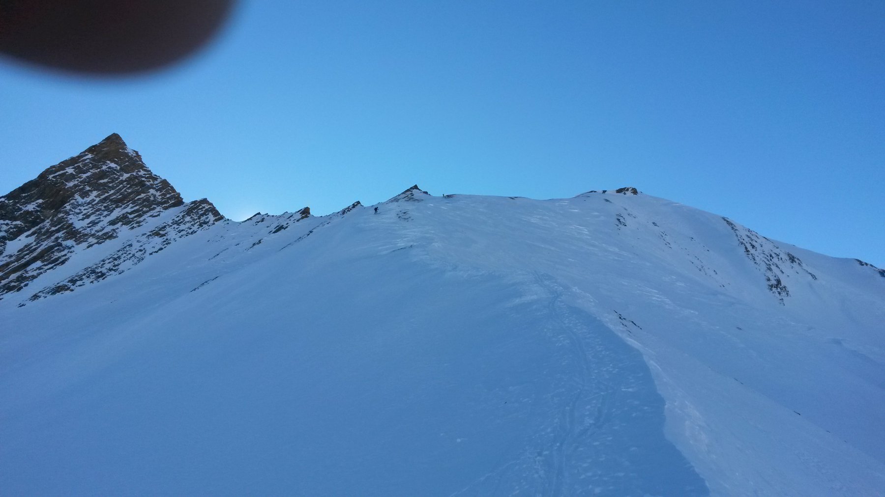
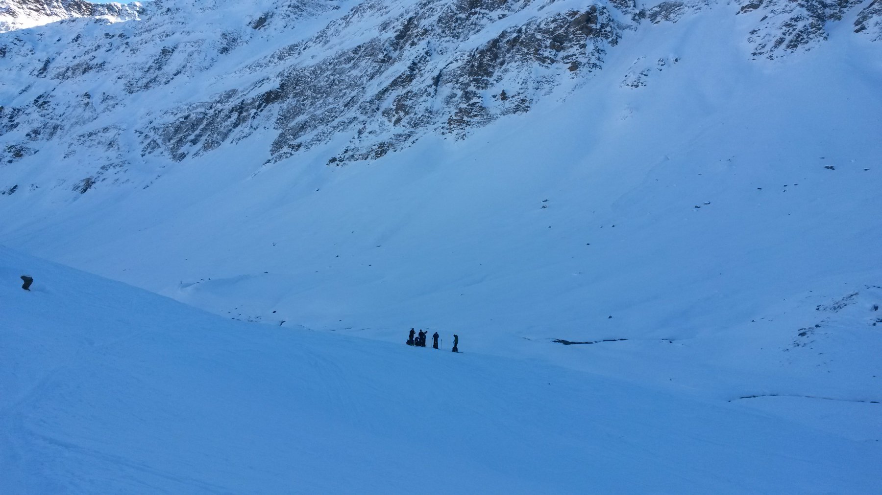
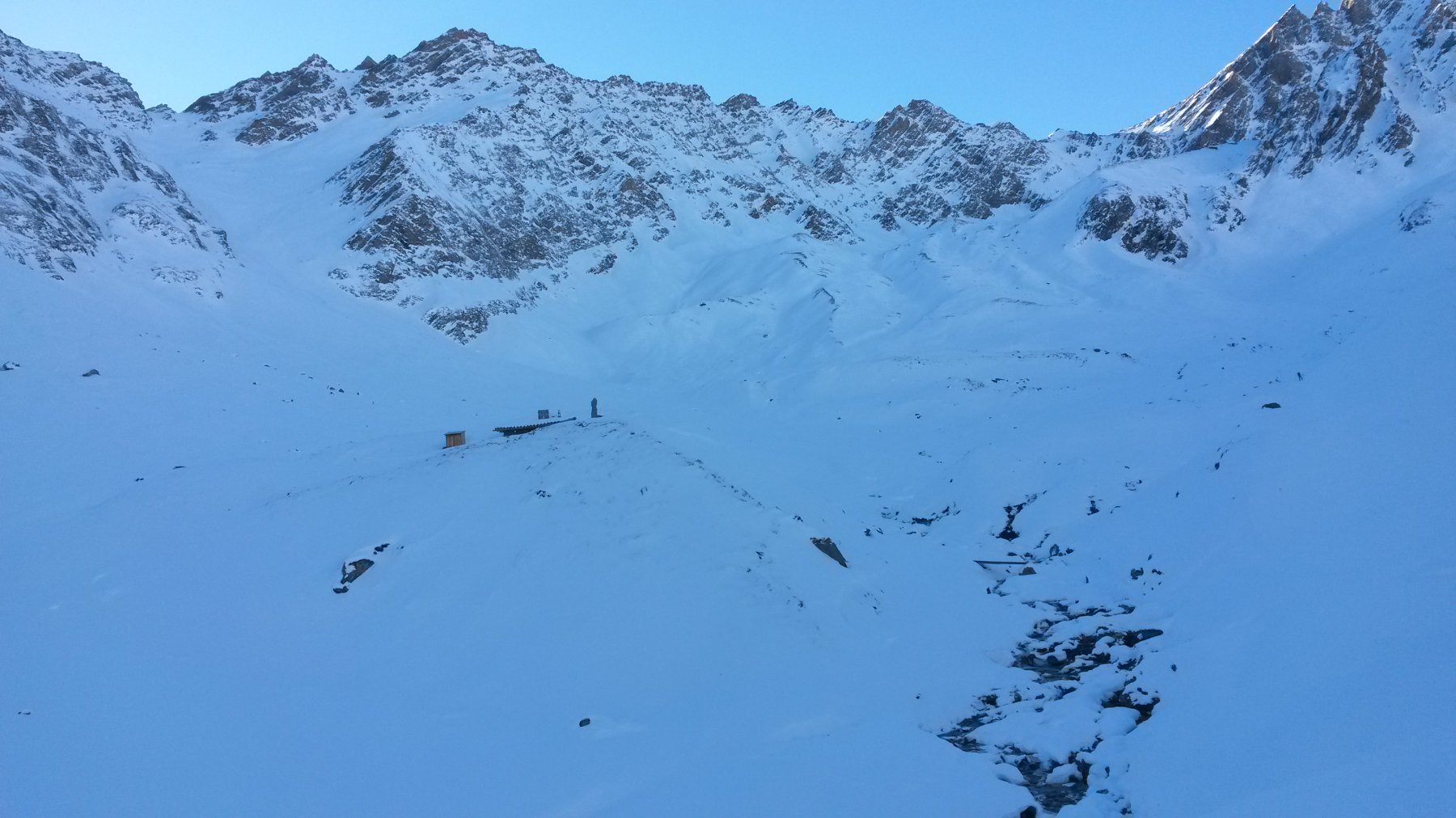
A malincuore si ridiscende la dorsale fino al col du Ban Darray (attenzione in caso di neve dura), per poi risalire brevemente a Pointe Combette (facile ma più ripido, togliersi le racchette in caso di neve scarsa), dove un altro panorama ci attende. Qui si vede meglio il Mont Dolent, forse la più bella fra le scialpinistiche della zona, nonchè il versante su cui avverrà il nostro ritorno. Si ritorno al colle sotto la Pointe Combette dove pendii dapprima sassosi poi via via ben innevati ricongiungono ai pendii di discesa (quasi sempre tritati dagli scialpinisti) dalla Grand Six Blanc. Dapprima per ampi valloni poi per canalini un po’ più incassati si discende in breve sul letto del torrente poco dopo essersi ricongiunti con il ripido itinerario alla Six Blanc (recensito fra le scialpinistiche di questi sito e da non confondere con la Grand Six Blanc di cui sopra). Appena in piano, attraversare il torrente, seguirlo il più possibile verso est (sotto una traccia quasi sempre presente) e, appena i pendii alla sinistra orografica si fanno più comodi, risalirli leggermente raggiungendo l’alpeggio di La Peule (2025 m slm circa), da cui, girando a sinistra in direzione parallela a quella dell’evidente fondovalle, una stradina riconduce facilmente al ponte sulla Dranse de Ferret visto al mattino, nei pressi di Les Arc dove l’anello qui descritto si chiude.
- Cartografia:
- CNS 1:25000 N° 1365 Grand St Bernard
Nelle vicinanze Mappa
Itinerari
01/01/2016 Entremont, La Fouly D+ 1100 m MR Nord
Ferret (Tete de) da La Fouly, anello per la Dotse e la Combe de Fond
 100m
100m
27/12/2015 Entremont, Orsières D+ 1396 m BR Nord-Est
Ecandies (Col des) da Champex Lac per il vallone d’Arpette
 11Km
11Km
13/12/2015 Entremont, Bourg-Saint-Pierre D+ 1036 m BR Est
Telliers (Monts) da Bourg Saint Bernard
 11.2Km
05/03/2025 Visp, Bourg San Pierre D+ 550 m MR Varie
Gran San Bernardo (Colle del) da Bourg Saint Bernard
 11.5Km
16/02/2025 AO, Saint-Rhemy-En-Bosses D+ 877 m MR Nord-Est
Serena (Col) da Crévacol
 13.8Km
19/12/2025 AO, Saint-Rhemy-En-Bosses D+ 400 m MR Nord-Ovest
Arp du Bois da Crévacol
13.8Km
19/02/2023 AO, Saint-Rhémy-en-Bosses D+ 1200 m BRA, PD Ovest
Serena (Testa di), Hugues couloir da Mottes
 13.8Km
24/03/2012 AO, Saint-Rhemy-En-Bosses D+ 1370 m BRA, F+ Est
Tapie (Mont) o Tapier canale Est
 13.8Km
15/12/2013 AO, Saint-Rhemy-En-Bosses D+ 1089 m BR Nord-Est
Serena (Costa di) quota 2739 m da Mottes
 13.8Km
20/03/2022 AO, Saint-Rhemy-En-Bosses D+ 1200 m MRA, PD- Nord-Est
Serena (Testa di) da Crevacol per il Col Serena e la Cresta NO
13.8Km
Servizi
50m
 100m
100m
Hotel Edelweiss Albergo
La Fouly 150m
150m
Supermarché de La Fouly Servizi
La Fouly 200m
200m
Glaciers Ristorante
La Fouly 200m
200m
Zanskar Sport Servizi
La Fouly 200m
200m
Auberge des Glaciers Albergo
La Fouly 300m
300m
Grand-Hôtel du Val Ferret Albergo
La Fouly 350m
350m
Majya-Joie Ristorante
La Fouly 350m
350m
Auberge de Maya Joie Albergo
La Fouly 550m
550m