7.5Km
7.5Km

Note
 200m
4.1Km
12.6Km
13Km
13Km
13.8Km
13.8Km
13.9Km
13.9Km
200m
4.1Km
12.6Km
13Km
13Km
13.8Km
13.8Km
13.9Km
13.9Km
7.5Km
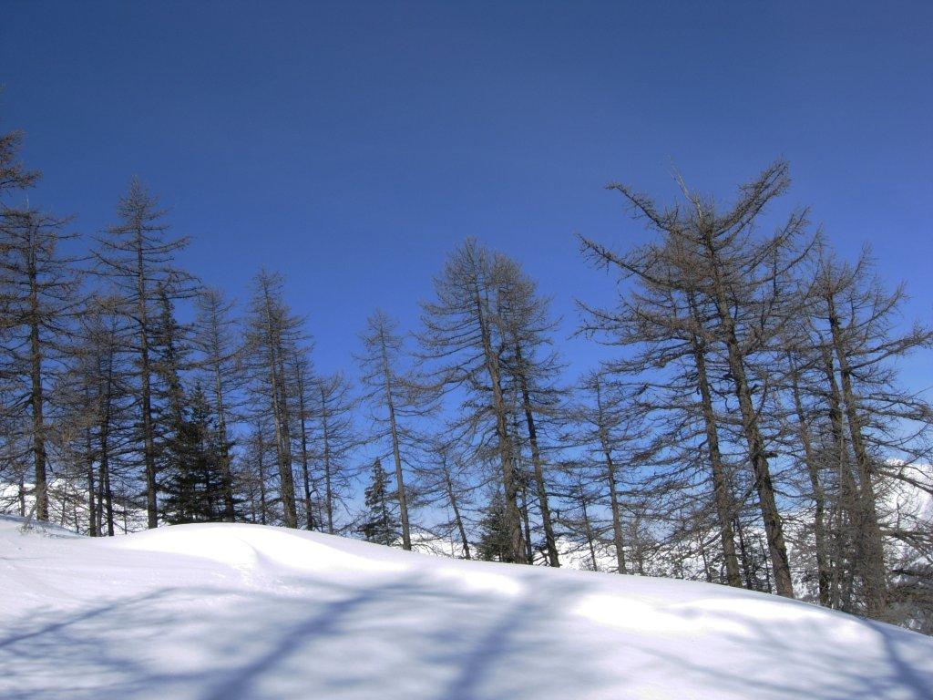
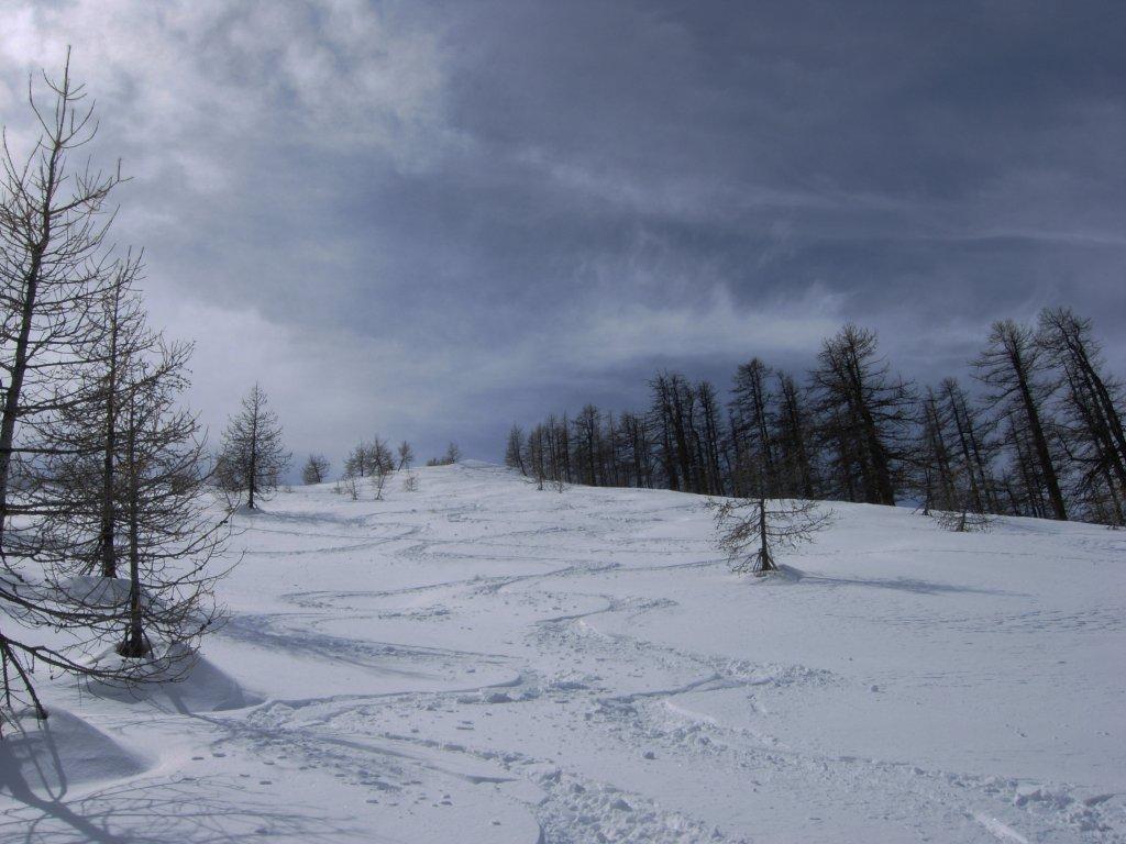
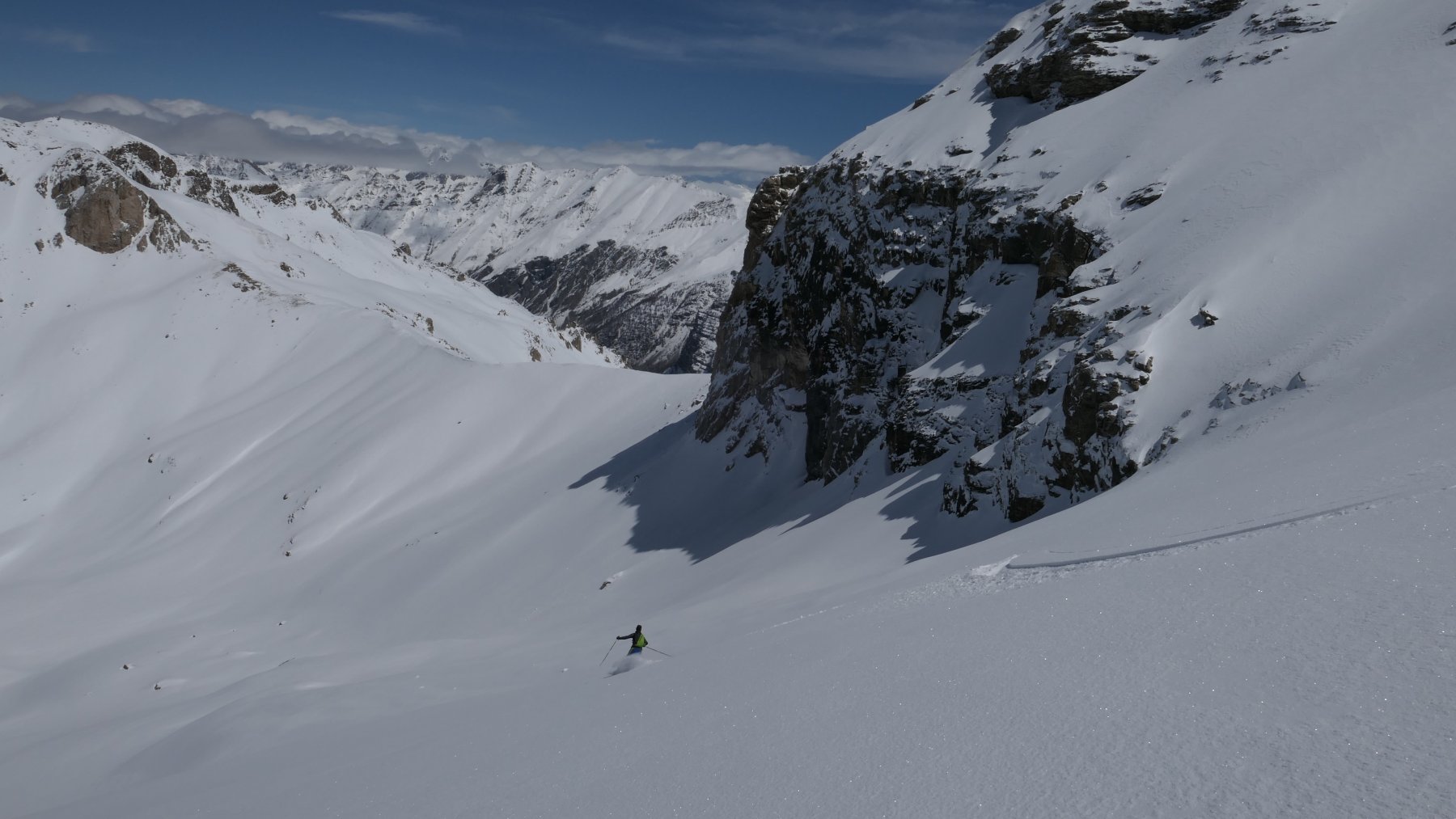
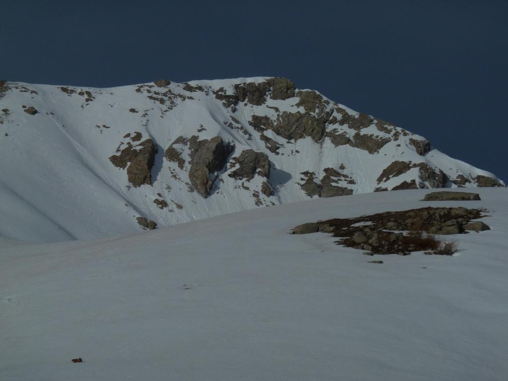
Localmente l'itinerario è noto come salita al Mont Aunos. L'Alpet forma l'estremità settentrionale dello spartiacque tra il Vallon de Giargues e il Vallon de Demandols, i cui torrenti sono affluenti della destra orografica della Tinèe. L'Itinerario si sviluppa in gran parte sul versante settentrinale, ammantato di conifere e protetto dal vento.
Avvicinamento
.
Descrizione
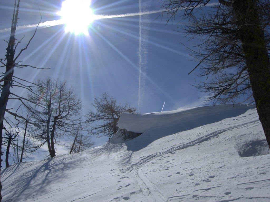
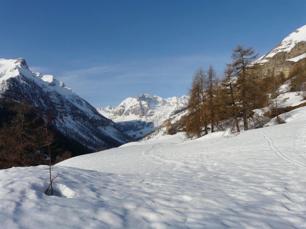
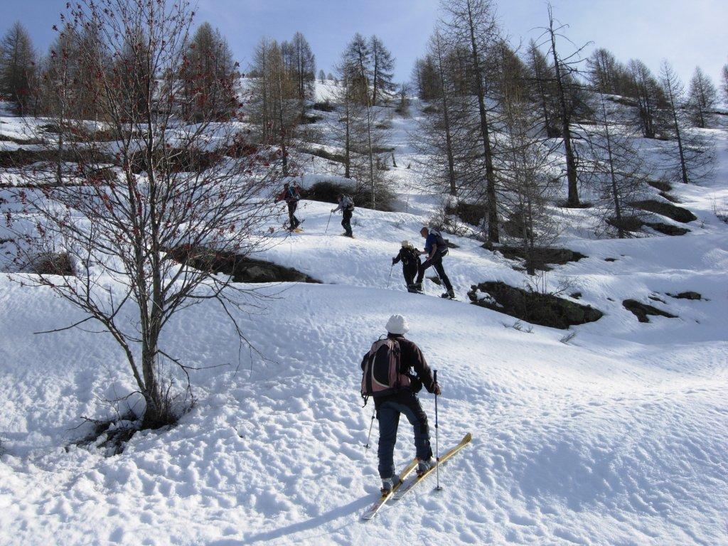
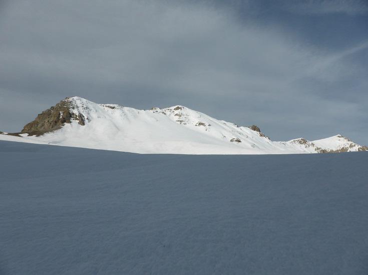
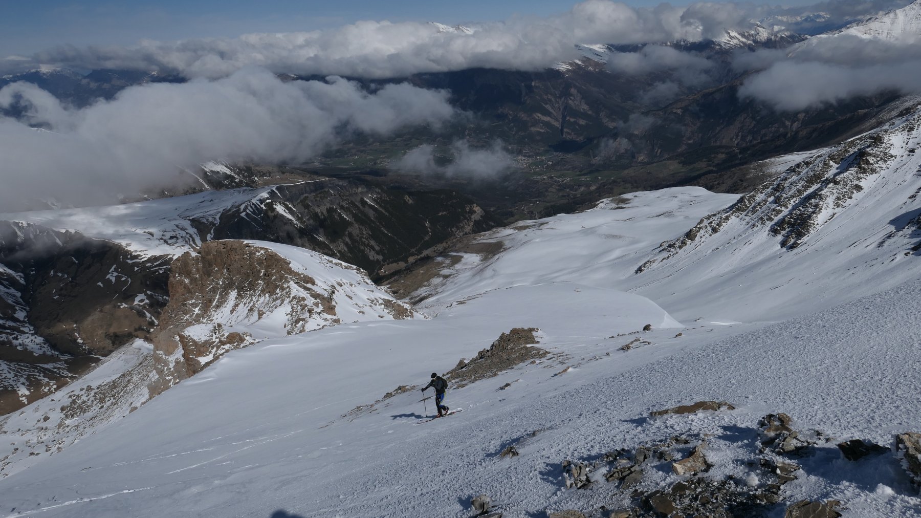
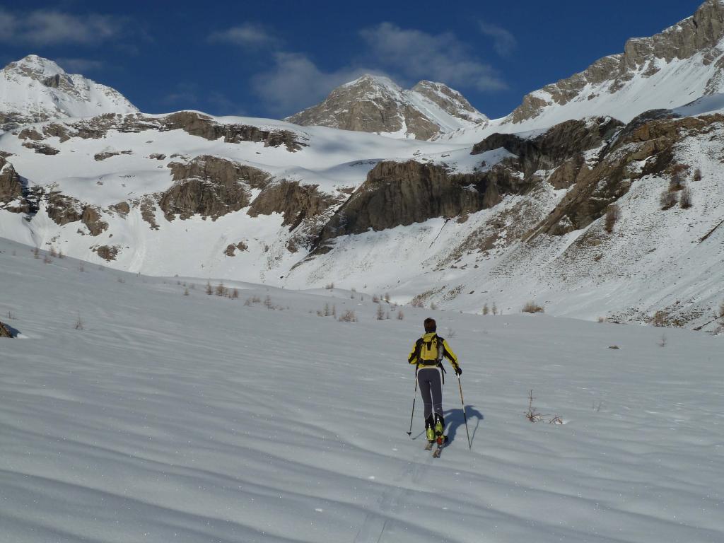
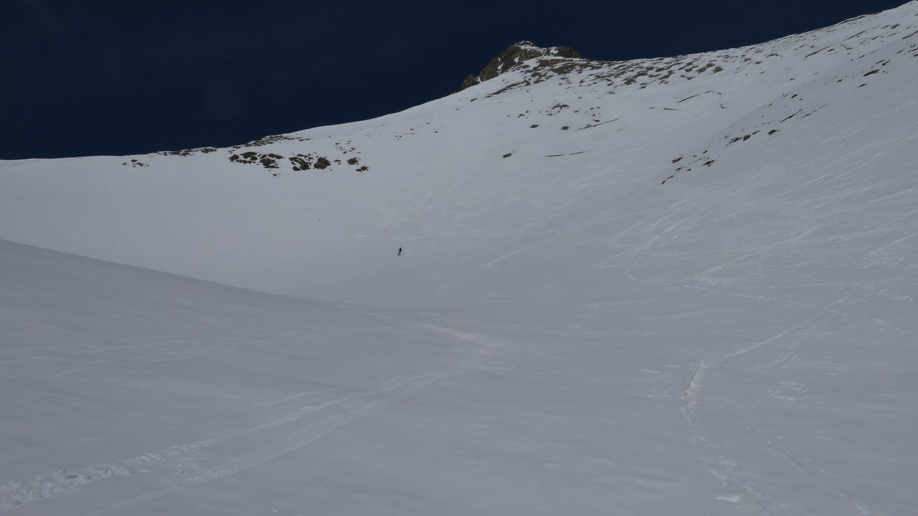
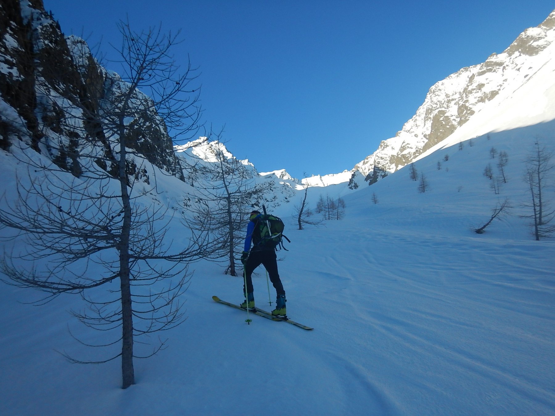
Dal parcheggio di Saint Dalmas le Selvage (c. 1500m.) si segue la stradina che scende sul fondo del vallone, su un ponte di pietra (1476 m.) si passa sulla destra orografica del Vallon de Saint Dalms. Su questo versante si sale ad est al limite del bosco, si oltrepassa il Vallon de la Combe d’Aunos, poi quello del Ruisseau de l’Adret Blanc (1602 m.) e si raggiunge l’inizio del bel pianoro (radura) che precede il Col d’Anelle (grangia 1705 m.) Qui si svolta a destra (SO) per seguire la vecchia pista di sci abbandonata che porta a quota 2006 dove terminava l’impianto di risalita. Si lascia a destra il piccolo circo della Combe d’Aunos e si punta verso sud lungo un ripido lariceto e si arriva ad una radura che porta nei pressi di quota 2247 sulla stretta Crete du Content, scavata sul versante opposto da profondi burroni. Si persorre ora il crestone più ampio e meno ripido che porta sul piatto Mont Aunos (2514 m.) e di qui in breve sulla vicina cime dell’Alpet (2563 m.) discesa lungo l’itinerario di salita con possibili varianti nel bosco.
- Cartografia:
- Haute Tinée 1 3639 OT
- Bibliografia:
- Alpi Liguri Alpi Marittime Alpes de Provence Jean Charles Campana
Nelle vicinanze Mappa
Itinerari
13/04/2009 Alpes-Maritimes, Saint-Dalmas-le-Selvage D+ 1075 m BS Est
Carlè (La Croix de) da Saint Dalmas le Selvage
 200m
200m
18/03/2010 Alpes-Maritimes, Saint-Dalmas-le-Selvage D+ 1255 m BS Sud-Ovest
Clai Inférieur da St. Etienne de Tinée
 4.1Km
4.1Km
12/11/2010 Alpes-Maritimes, Saint-Dalmas-le-Selvage D+ 1100 m BS Sud-Ovest
Pebrun (Monte) o Pel Brun da Bousiéyas
4.4Km
03/04/2015 Alpes-Maritimes, Saint-Étienne-de-Tinée D+ 953 m BS Nord
Negre (Cime) da Roya per i pendii Nord di Combe de Crous
 12.6Km
27/04/2019 Alpes-de-Haute-Provence, Jausiers D+ 812 m BS Nord-Ovest
Mourre Haut (le) dalla strada del col de la Bonette per il versante NO
 13Km
13Km
28/04/2019 Alpes-de-Haute-Provence, Jausiers D+ 870 m BS Nord-Ovest
Empeloutier (Tete de) dalla strada del col de la Bonette per il versante Nord-Ovest
 13Km
13Km
22/04/2019 Alpes-de-Haute-Provence, Uvernet-Fours D+ 1157 m BS Tutte
Cimet (le) dal Vallon de la Grande Cayolle
 13.8Km
20/04/2019 Alpes-de-Haute-Provence, Uvernet-Fours D+ 1200 m BSA Varie
Pelat (Mont) dal vallon de la Grande Cayolle ed il versante sud
 13.8Km
23/04/2023 Alpes-de-Haute-Provence, Uvernet-Fours D+ 1000 m OS Varie
Trou de l’Aigle e Sommet des Garrets per il Col de la Petite Cayolle
 13.9Km
10/05/2019 CN, Pietraporzio D+ 1800 m OSA, F+ Varie
Tenibres (Monte) da Prati del Vallone, anello per il Passo Sottano delle Scolettas
 13.9Km
Servizi
7.5Km