Rifugio: circa 20 posti, il locale invernale è accogliente, presenti cuscini e coperte. E' presente una cassetta delle offerte con tariffario: 6€ per non tesserati CAF, 3€ per i tesserati CAF.
La strada di accesso viene pulita fino alla sbarra (1270) prima della galleria sulla strada per Ailefroide. Da qui, è aperta a seconda dell'innevamento.
La descrizione dell'itinerario è presa in parte dal sito SkiTour.
Giorno 1:
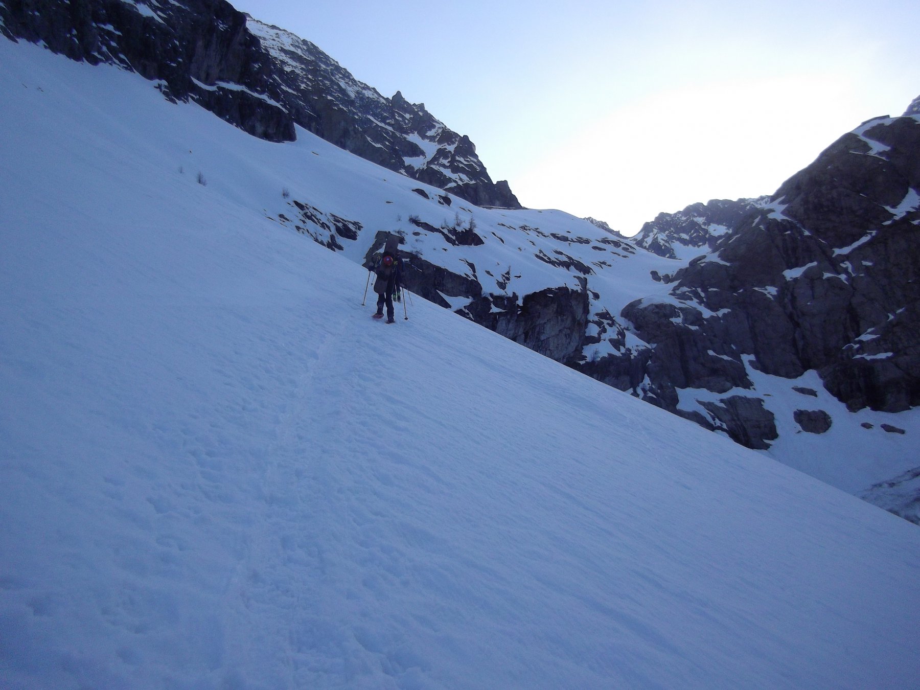
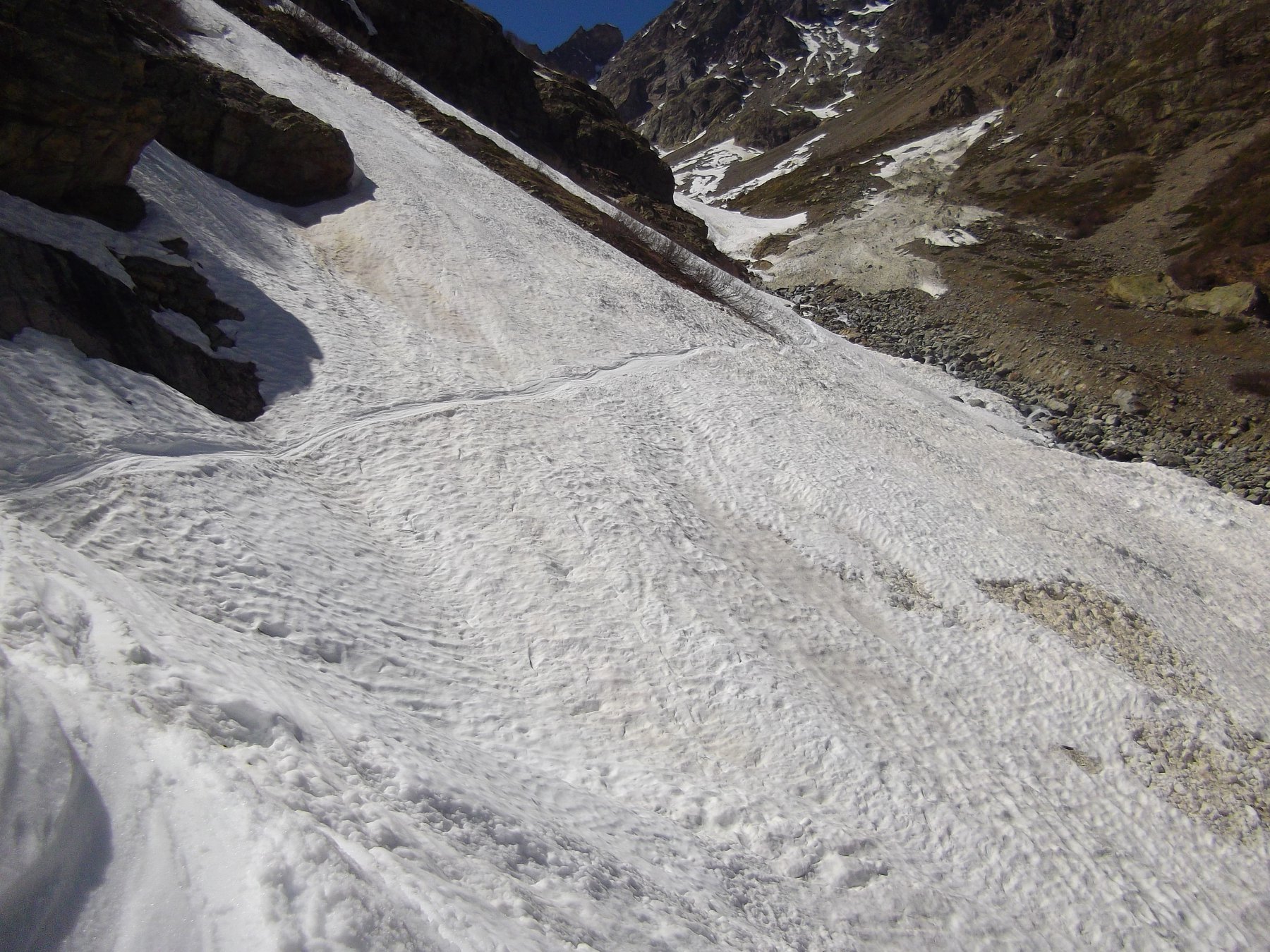
dal Parcheggio seguire il sentiero per il locale invernale del Ref. du Sélé (Refuge d’hiver, sulle carte) o comunque seguire il torrente di Celse Nière. Arrivati al passaggio della Barre de l’Ouro (2300-2400 circa), a seconda dell’innevamento:
– SCARSO INNEVAMENTO: seguire la ferrata del percorso estivo (tenere conto che d’inverno il Parc des Ecrins smonta i cavi) oppure tenersi sulla destra e reperire un canale che porta al Ref. du Sélé;
– BUON INNEVAMENTO: prima di arrivare alla Barre de l’Ouro spostarsi sul versante in destra idrografica risalendo i conoidi fino a poter traversare in piano per portarsi al pianoro sotto i rifugi (più facile ma più esposto).
Arrivati al pianoro superare il Rifugio fino a reperire un pendio che ne permette l’accesso obliquando verso Est
Giorno 2:
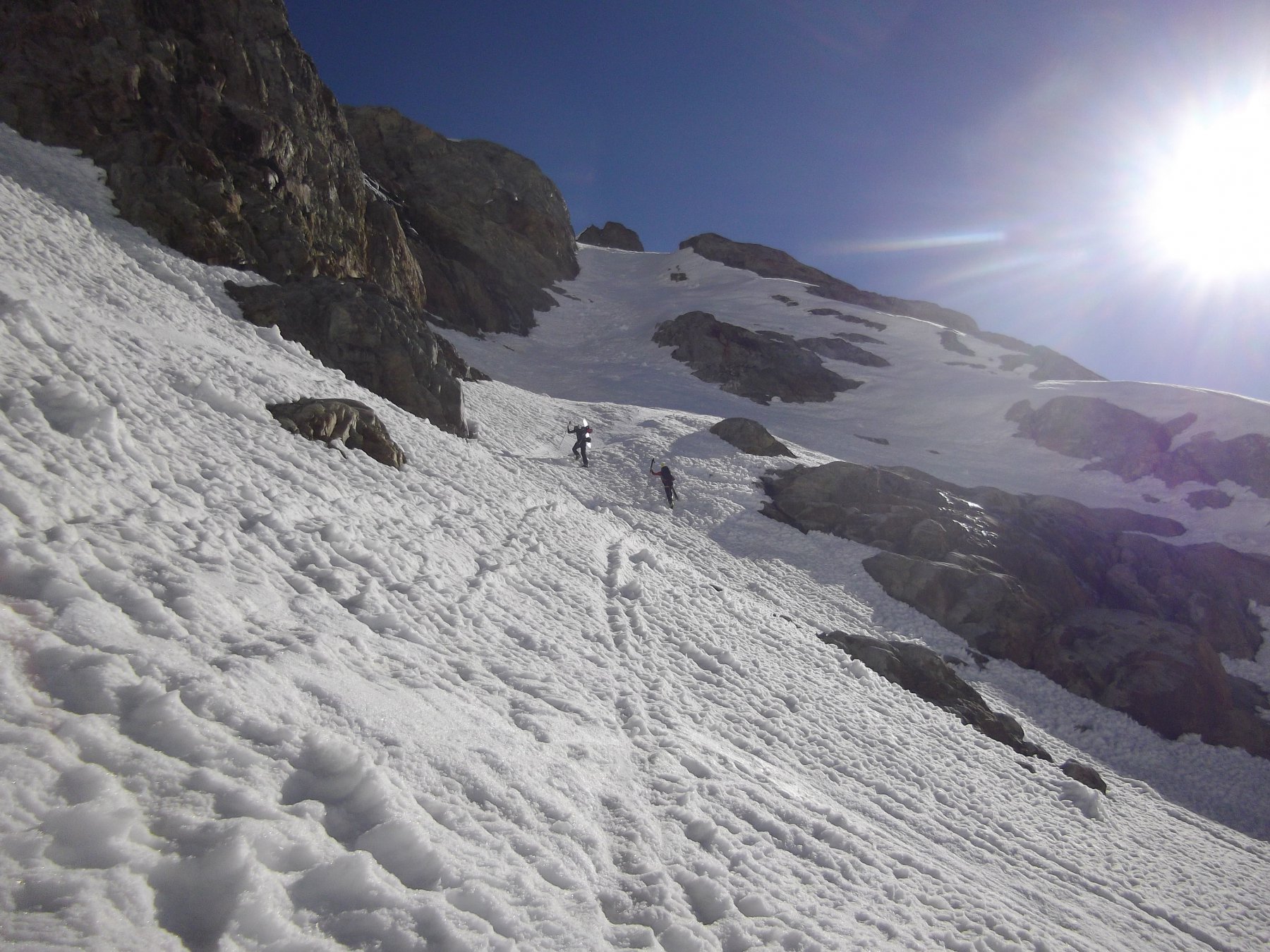
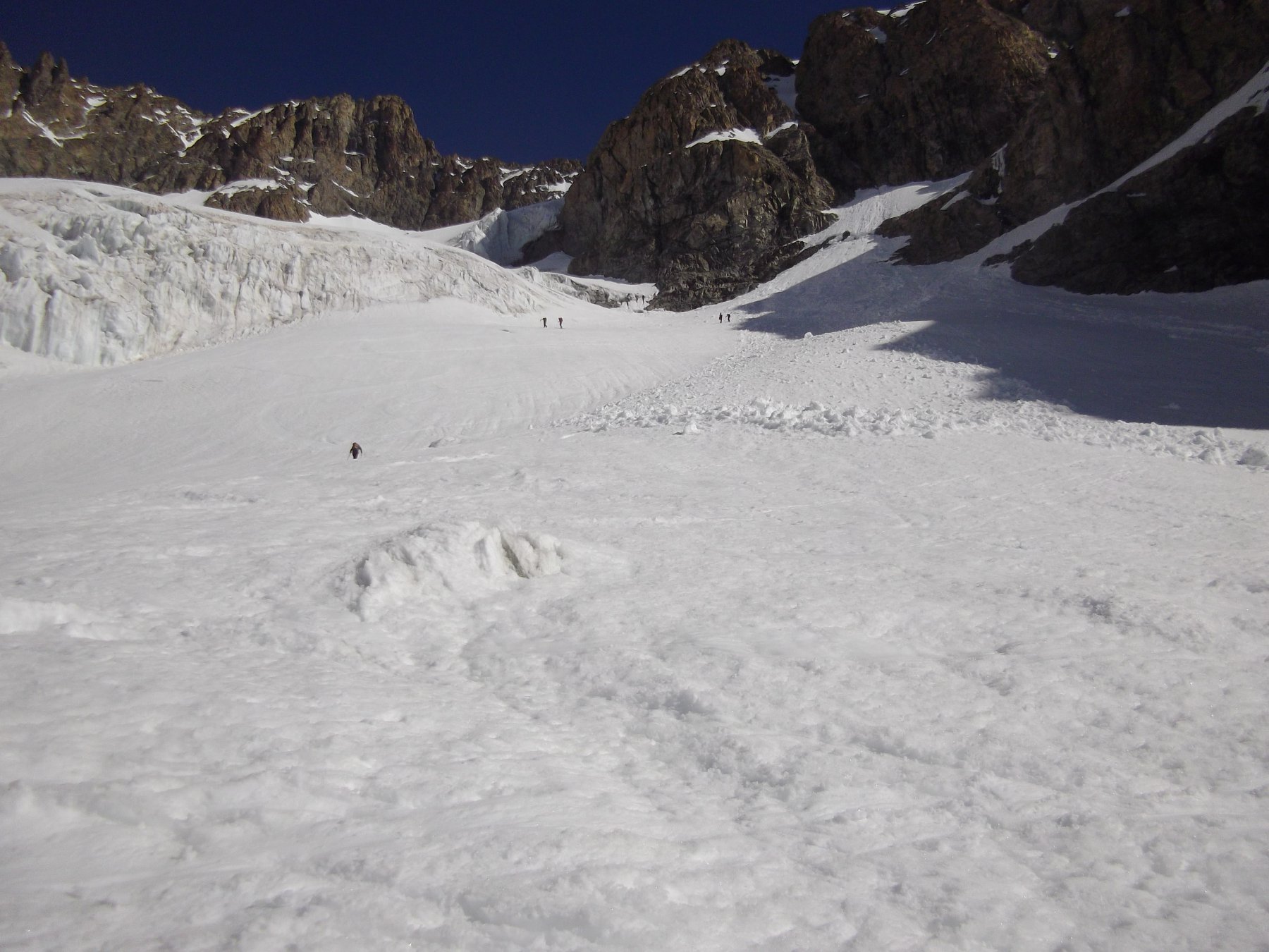
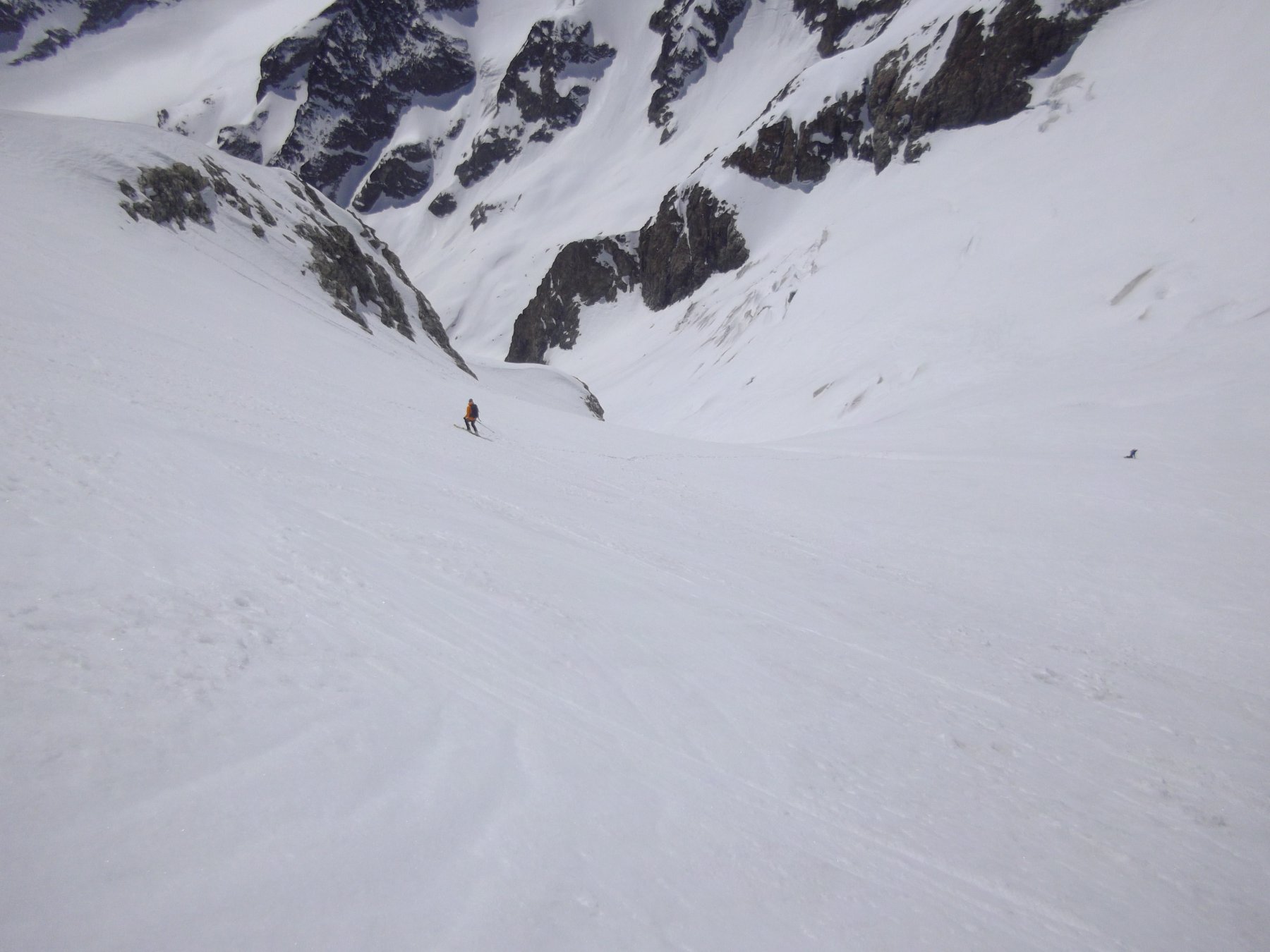
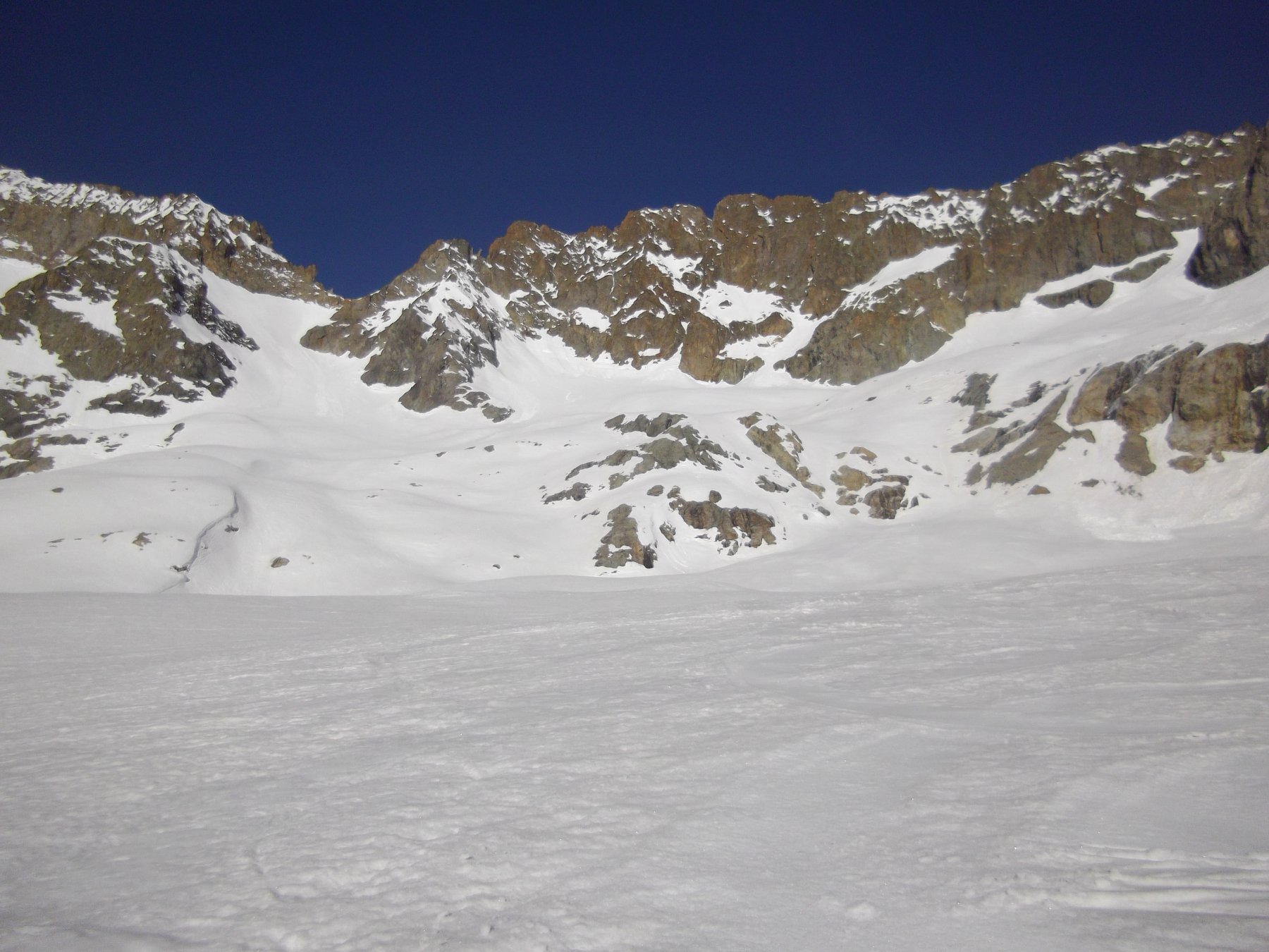
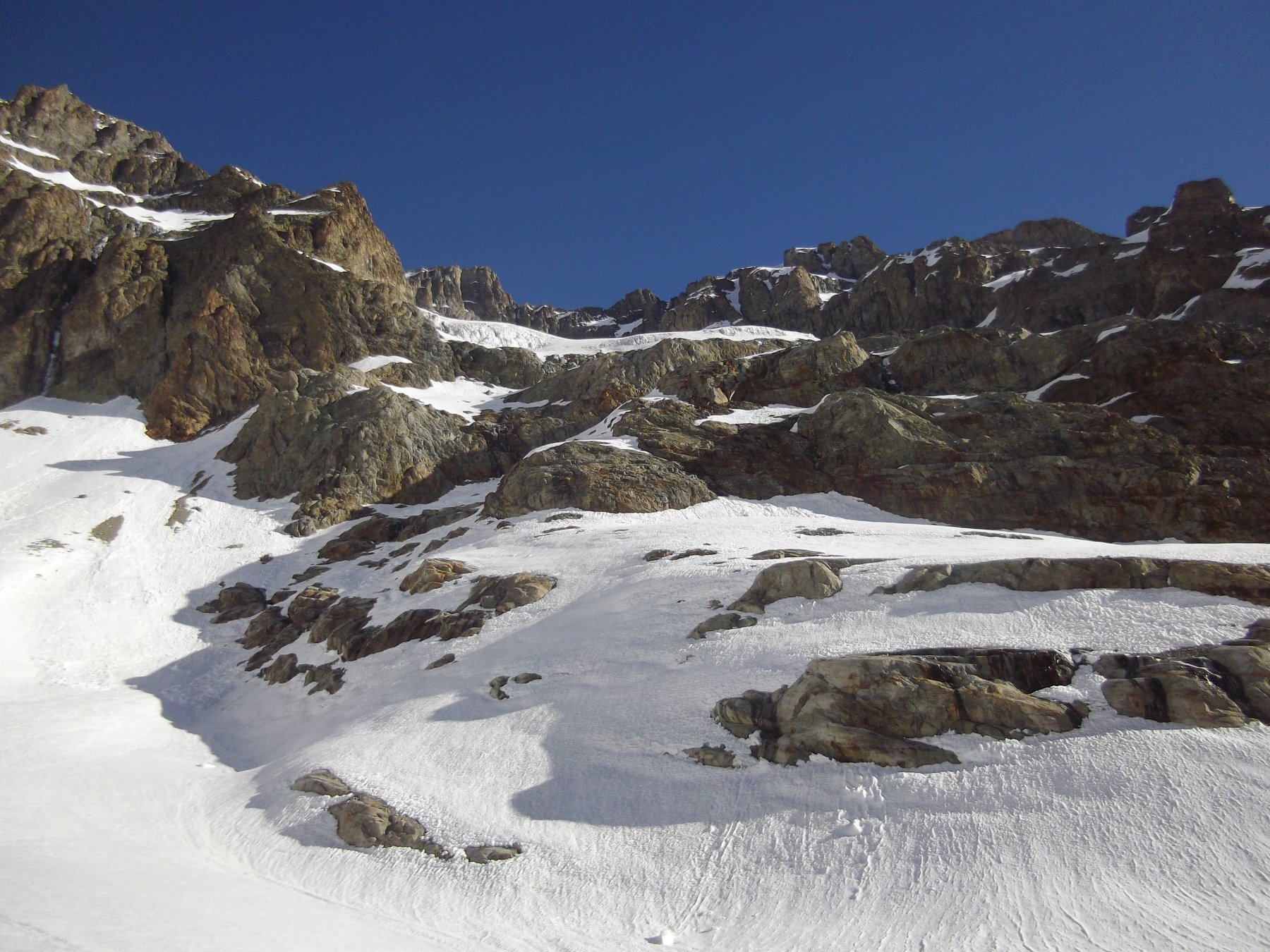
Dal Refuge d’hiver scendere nel pianoro e risalire i versanti che portano al vallone del Glacier de l’Ailefroide (la parte bassa, più rocciosa e ripida, è spesso caratterizzata da canali svalangati). Risalire gli ampi pendii fino a quota 2950 circa: qui, lasciare il vallone principale e superare la barra rocciosa di destra (faccia a monte) sfruttando uno scivolo che obliquando verso Est porta a una spalla sopra le rocce e sotto i seracchi del Glacier de l’Ailefroide. A seconda dell’innevamento, seguire la cengia nevosa fino a reperire un pendio innevato (40-45° per 50 m) sulla sinistra che permette l’accesso al ghiacciaio (il passaggio è soggetto a variazioni a seconda dell’innevamento, talvolta può essere necessario qualche passaggio su rocce).
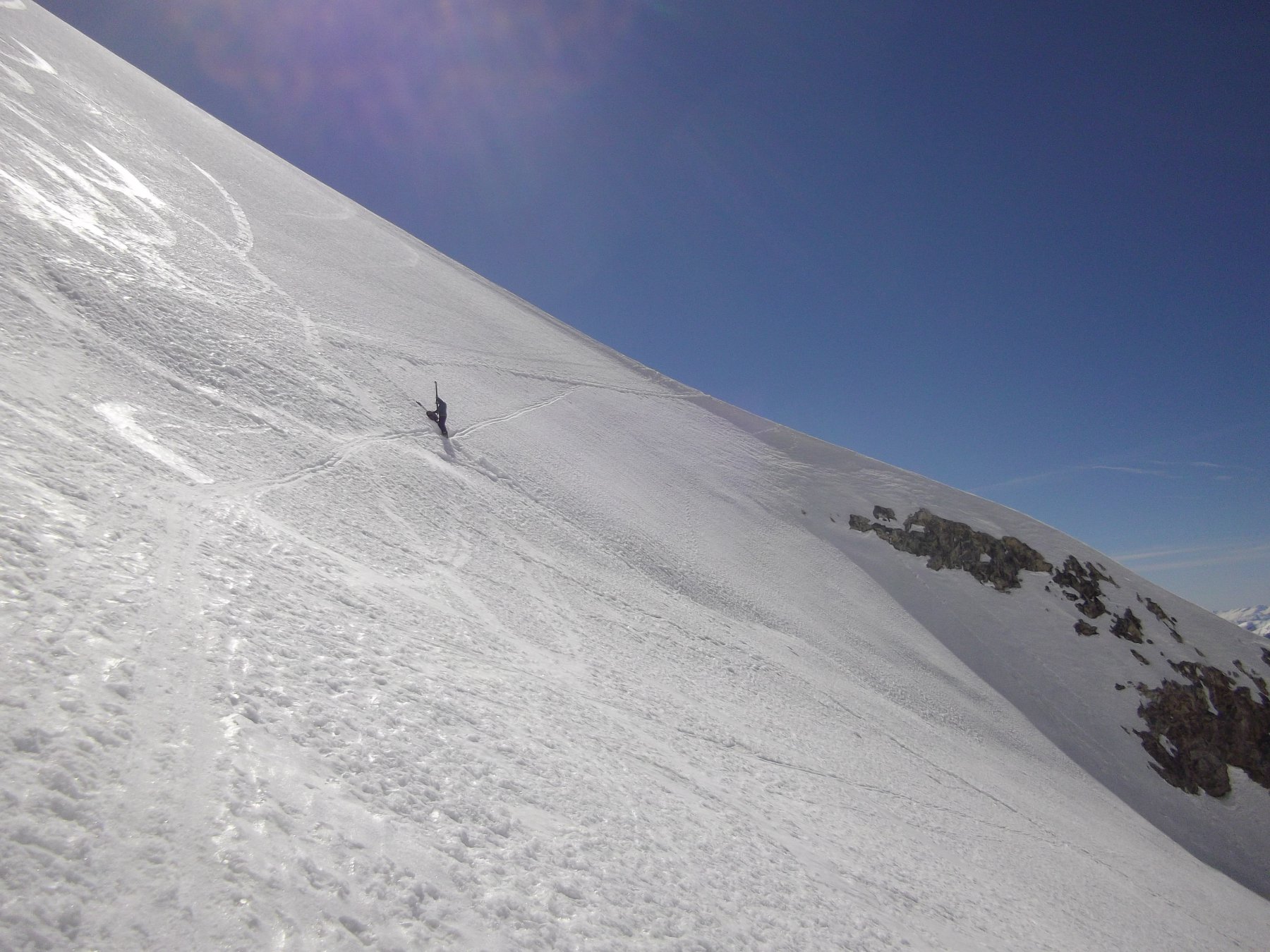
Risalire il ghiacciaio per ampi pendii fino al muro più ripido a quota 3550. La via più semplice per superare il muro è reperire la cresta traversando verso destra (faccia a monte) fino a un colletto. Da qui, seguire la cresta fino alla vetta.
Discesa: per l’itinerario di salita. In caso di scarso innevamento, dopo la Barre de l’Ouro, si può cercare di scendere sci ai piedi sfruttando l’innevamento del versante destro idrografico, tenendosi vicino al torrente. Non essendoci ponti, il guado può essere un po’ rocambolesco.
- Cartografia:
- IGN 3436ET
Nelle vicinanze Mappa
Itinerari
Victor Chaud (Breche) – Couloir Pélas-Verney
 800m
800m
Pelvoux Couloir Coolidge
 800m
800m
Barre Noire Couloir NO e discesa Couloir Sud dal Col de la Grande Sagne
 800m
800m
Coste Rouge (Col de) da Pré de Madame Carle
 4.4Km
4.4Km
Coolidge (Pic) spalla 3340 m – Couloir Dewèze
 4.9Km
4.9Km
Ecrins (Barre des) Versante Nord
 4.9Km
4.9Km
Glacier Noir (Col du) Couloir Nord
 5Km
5Km
Coup de Sabre (Pic du)
 5Km
5Km
Neige des Ecrins (Dome de) Diretta NE
 5Km
5Km
Momie (Breche de la) da Prè de Madame Carle
 5Km
5Km