
Note
 500m
9.6Km
9.8Km
22.1Km
23.1Km
26.2Km
500m
9.6Km
9.8Km
22.1Km
23.1Km
26.2Km
Casco e corda da 90 m obbligatori !
Avvicinamento
Parking 200m dopo Richardiere
Descrizione
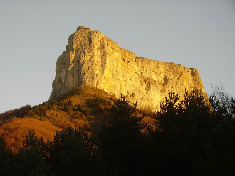
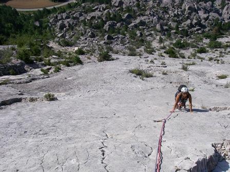
Da Richardiere seguire un sentiero che porta al Col de l’Aupet 1627m e raggiungere la base della barete 50 m a sx del gendarme de la Vierge (grosso fittone).
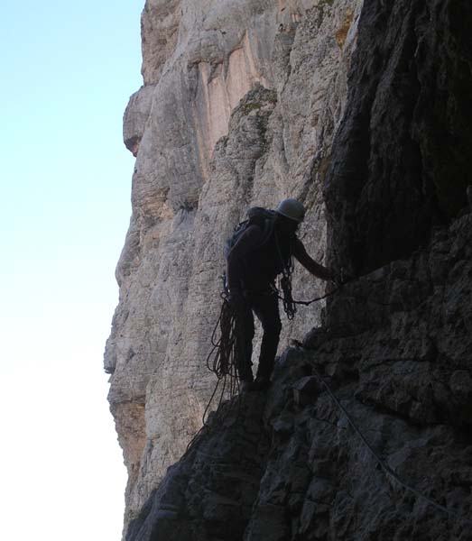
Compiere un traverso ascendente che porta all’intaglio de la Vierge, ridiscendere qualche metro e risalire un canale che porta a una larga cengia, raggiungere sulla sx il canale finale che porta al plateau sommitale.
La discesa inizia 50 m a dx dell’uscita, in corrispondenza di una placca commemorativa.
Si scende x un canale fino a raggiungere sulla dx un pinetto da cui si effettua la I doppia. seguire nel canale ed effettuare altre 2 doppie che portano attraverso stretti camini alla base della parete.
Nelle vicinanze Mappa
Itinerari
16/09/2004 Isère, Chichilianne 3, 3 obbl. Ovest
Aiguille (Mont) – Tubulaires
0m
04/06/2017 Isère, Chichilianne 6b, 5c obbl. Sud-Est
Aiguille (Mont) – Les Diables
 500m
500m
24/07/2025 Isère, Chichilianne 6a, 5c obbl., a0 Nord-Ovest
Aiguille (Mont) La Tour des Gemeaux
950m
23/04/2017 Drôme, Treschenu-Creyers 6c, 6a+ obbl. Sud-Ovest
Archiane (Rocher d’) Paroi Rouge
 9.6Km
9.6Km
07/11/2015 Drôme, Treschenu-Creyers 6c, 5c obbl. Nord
Archiane (Rocher d’) Pilier Livanos
 9.8Km
9.8Km
20/09/2015 Isère, Le Gua 6b+, 6a obbl. Est
Gerbier Fissure en arc de cercle
 22.1Km
15/08/2025 Isère, Villard-de-Lans 5b, 5b obbl. Ovest
Gerbier (Mont) – Il Est où mon Pyjama
 23.1Km
18/05/2014 Drôme, Luc-en-Diois 5a, 5a obbl. Sud
Luc (Pic de) Grande Dalle de Claps
 26.2Km