 3.5Km
3.5Km
Note
Storico
 50m
150m
500m
650m
750m
750m
750m
750m
750m
50m
150m
500m
650m
750m
750m
750m
750m
750m
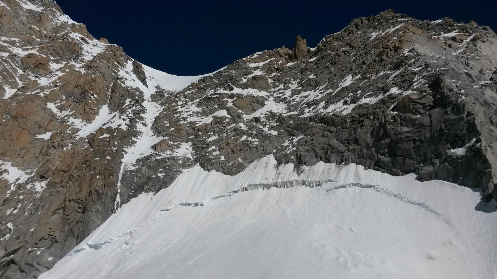
Bella Goulotte in ambiente, comoda come accesso, perfetta sé si cerca una via in giornata ed avere margine per prendere la funivia di rientro.
-Soste attrezzate a spit
-Materiale: corda singola 60m
Friend C4 BD dallo 0.3 al 2
4/5 Viti da ghiaccio corte
Avvicinamento
-Soste attrezzate a spit
-Materiale: corda singola 60m
Friend C4 BD dallo 0.3 al 2
4/5 Viti da ghiaccio corte
Da Courmayeur prendere la funivia per Punta Helbronner, scendere le scale in ferro per reperire il ghiacciaio, seguire l’itinerario classico per il Col Flambeaux da qui mantenere la sx e puntare alla faccia nord dell’Aiguille de Toula, giunti vicino alle rocce si lasciano sulla sx le goulotte es: Cadeau de Noël ecc… aggirare lo sperone di roccia e attaccare la via con un primo tiro di neve.
Descrizione
Difficoltà: TD M4+ AI3+/4 (in base alle condizioni)
- L1 neve a 60/70 gradi AI3+ 50m
- L2 M4+ con passaggio divertente in uno stretto diedro. 30m
- L3 M4+ AI4 30m
- L4 M3+ Neve 60/70 gradi 40m
- L5 M e neve a 60 gradi 50m
Tramite breve cresta di roccia e neve in 10 minuti si giunge in cima all’Aiguille de Toula.
Discesa consigliata dalla via normale del Toula.
Oppure fermarsi alla s5 e fare le doppie ma Attenzione a non tirarsi sassi in testa.
Aperta da Niccolò Bruni e Gianluca Marra
Il 09/03/2023
Il 09/03/2023
Nelle vicinanze Mappa
Itinerari
15/07/2014 Haute-Savoie, Chamonix-Mont-Blanc D+ 200 m D Nord-Est
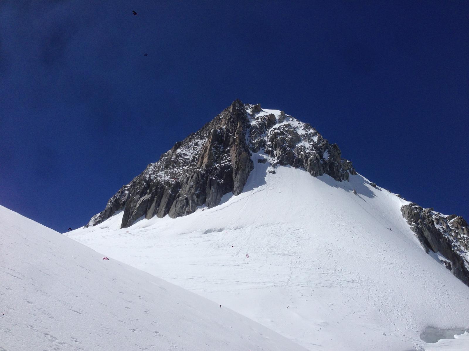
Toules (Aiguille des) Couloir NE
 50m
50m
18/04/2026 AO, Courmayeur D+ 350 m D+ Nord-Est
Toule (Aiguille du) – Tour de garde
 150m
150m
18/03/2025 AO, Courmayeur D+ 150 m TD- Nord-Est
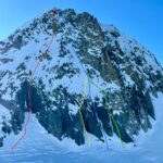
Toula (Aiguille du) – Cadeau de Noel
 500m
500m
17/02/2024 Haute-Savoie, Chamonix-Mont-Blanc D+ 300 m AD Nord
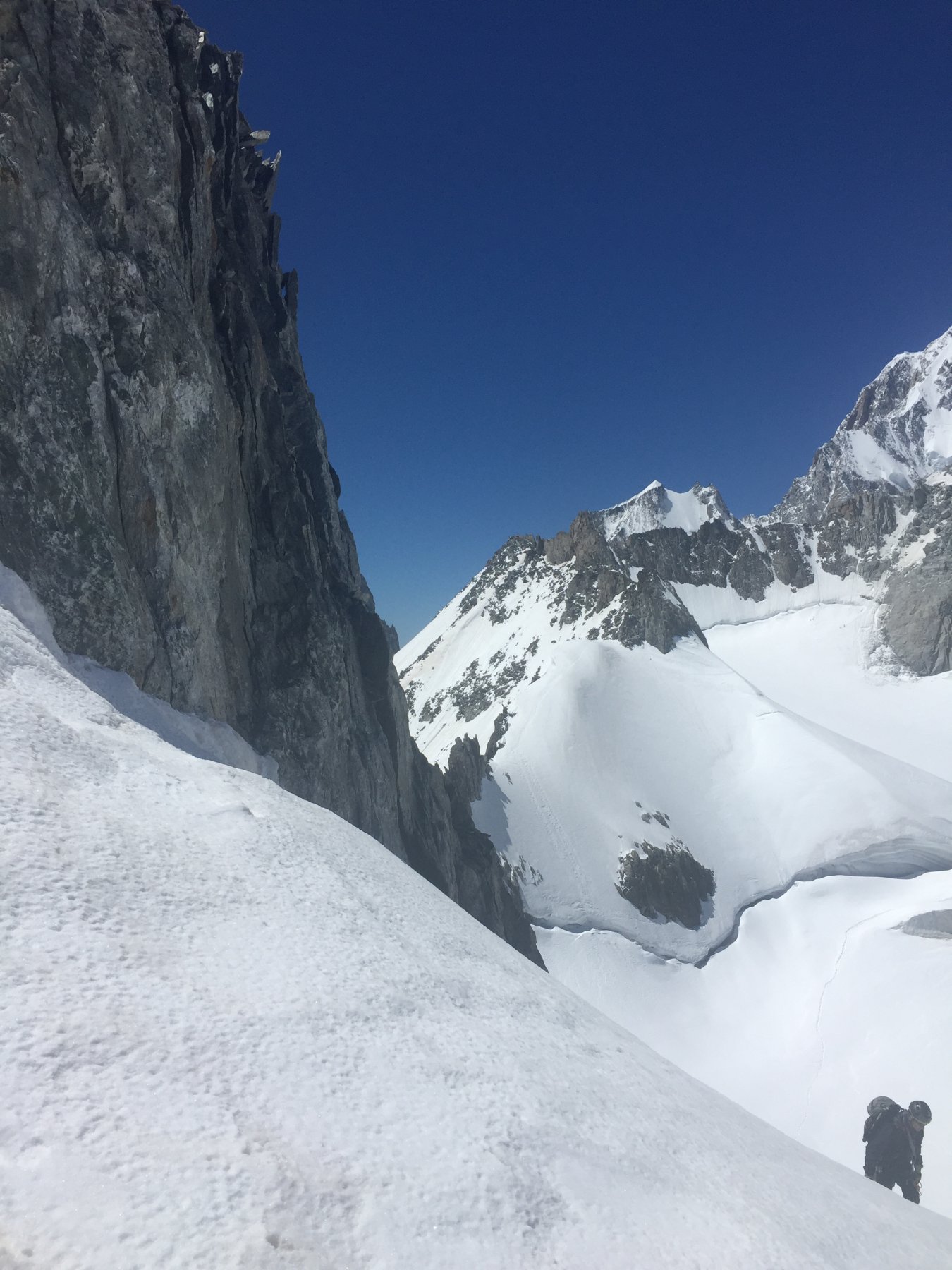
Toules (Aiguille des) Parete Nord
 650m
650m
07/03/2025 AO, Courmayeur D+ 150 m D+ Est
Tacul (Mont Blanc du) Goulotte Silvia
700m
25/06/2018 AO, Courmayeur D+ 1200 m D+ Sud-Est
Bianco (Monte) Sperone della Brenva – itinerario classico
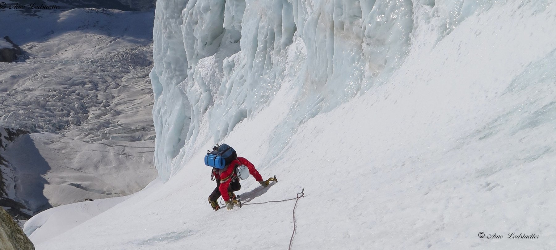 750m
750m
12/07/2026 Haute-Savoie, Chamonix-Mont-Blanc D+ 300 m PD+ Nord
Petit Flambeau Cresta N e traversata
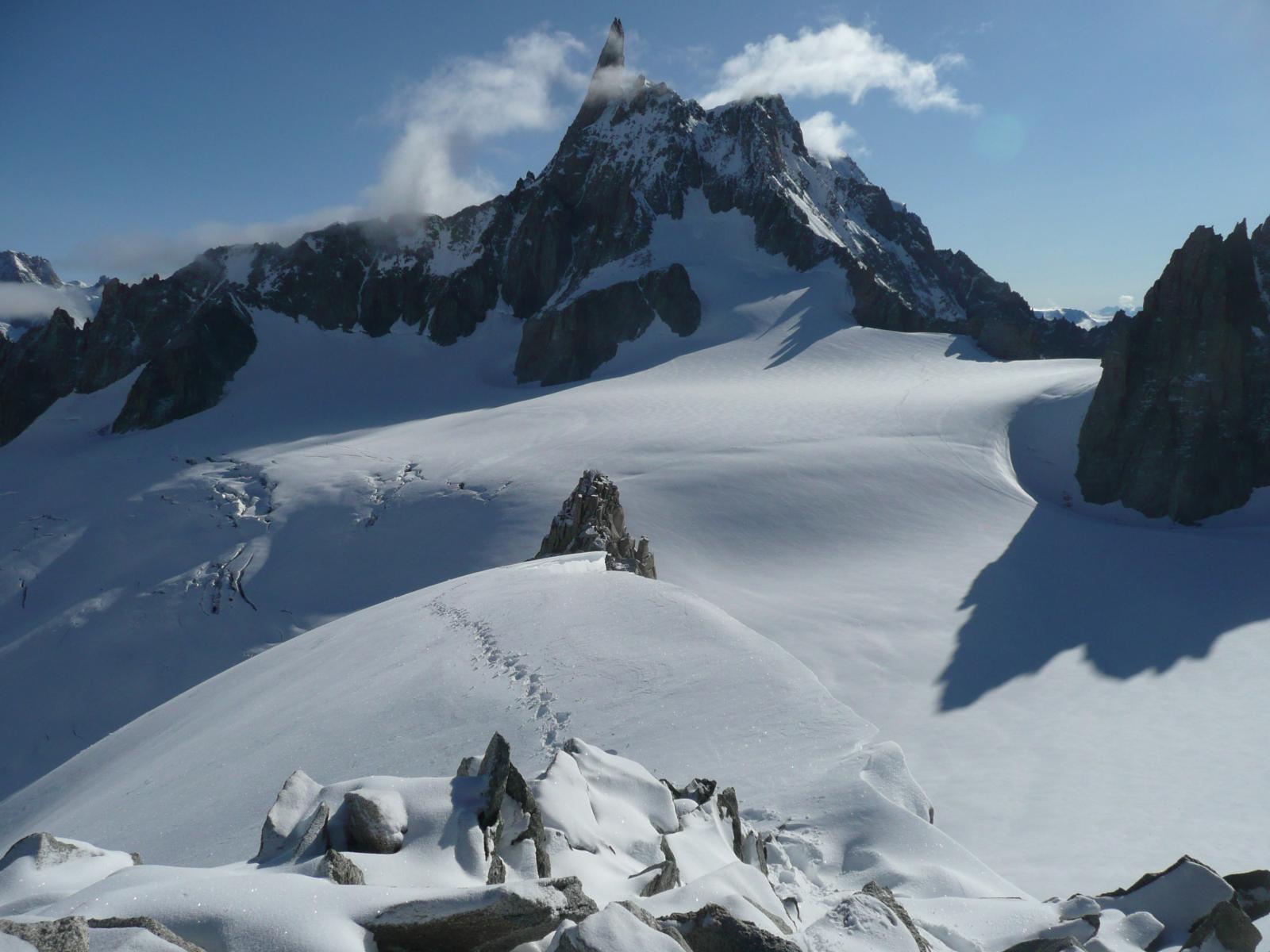 750m
750m
03/03/2026 AO, Courmayeur D+ 140 m D Sud-Ovest
Rognon Vaudano – Veloce Veloce 2.0
 750m
750m
05/12/2016 AO, Courmayeur D+ 244 m PD+ Nord-Ovest
Grand Flambeau cresta nord e versante ovest
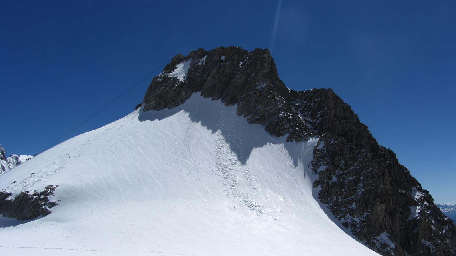 750m
750m
13/09/2014 AO, Courmayeur D+ 1600 m D Varie
Bianco (Monte) Parete Nord dell’Aiguille Blanche e Cresta di Peuterey
 750m
750m

