8.8Km
8.8Km
Note
 50m
1.2Km
3.2Km
3.5Km
3.7Km
3.7Km
4.1Km
4.1Km
4.1Km
4.1Km
50m
1.2Km
3.2Km
3.5Km
3.7Km
3.7Km
4.1Km
4.1Km
4.1Km
4.1Km
8.8Km
Se si è disposti a spendere qualche euro, il pendio finale è più comodamente accessibile utilizzando gli impianti di risalita di Courmayeur.
Avvicinamento
Da Pré-Saint-Didier salire in direzione di La Thuile. Prima che la strada attraversi la dora, parcheggiare nella piccola frazione di La Balme.
Descrizione
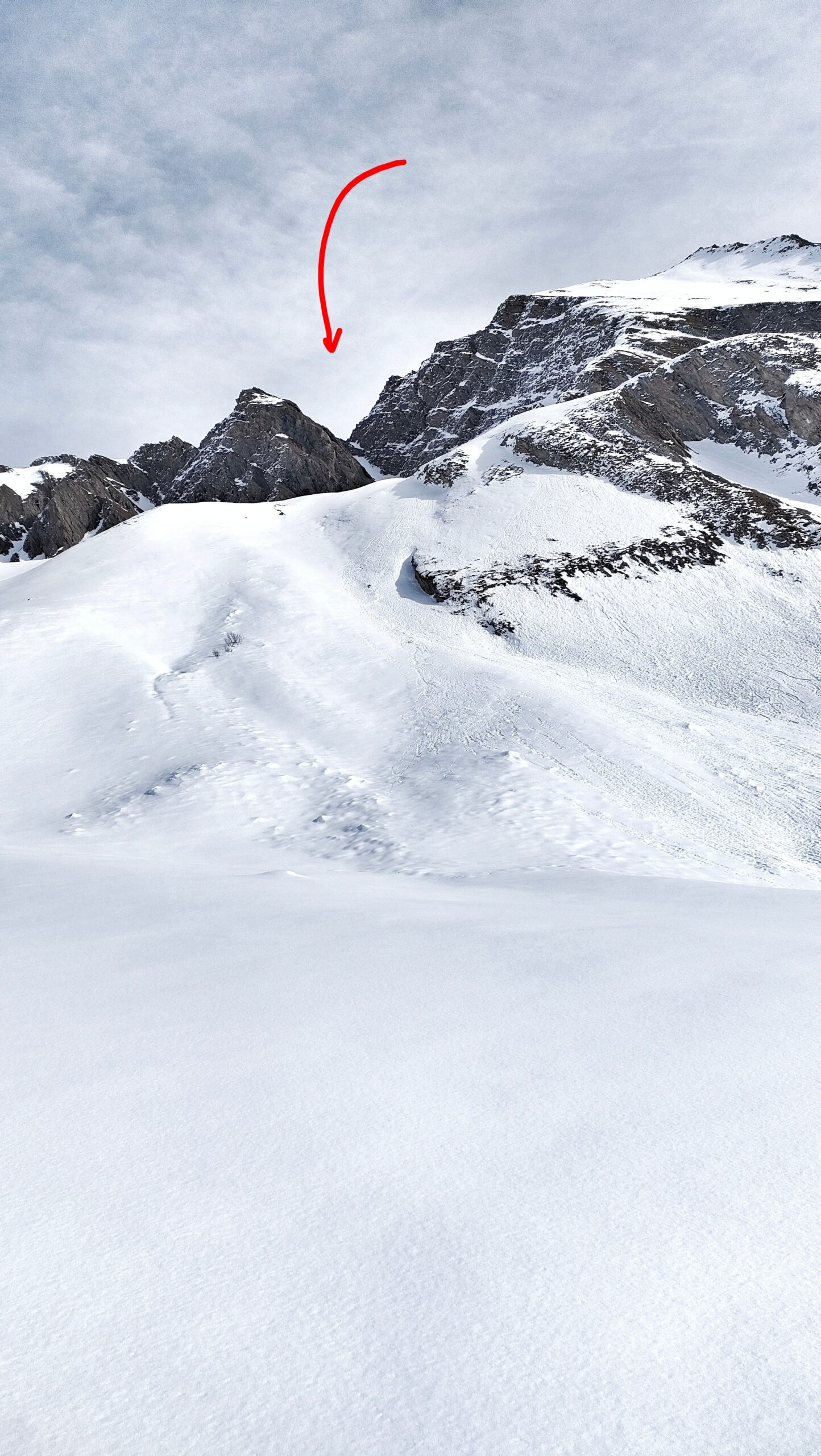
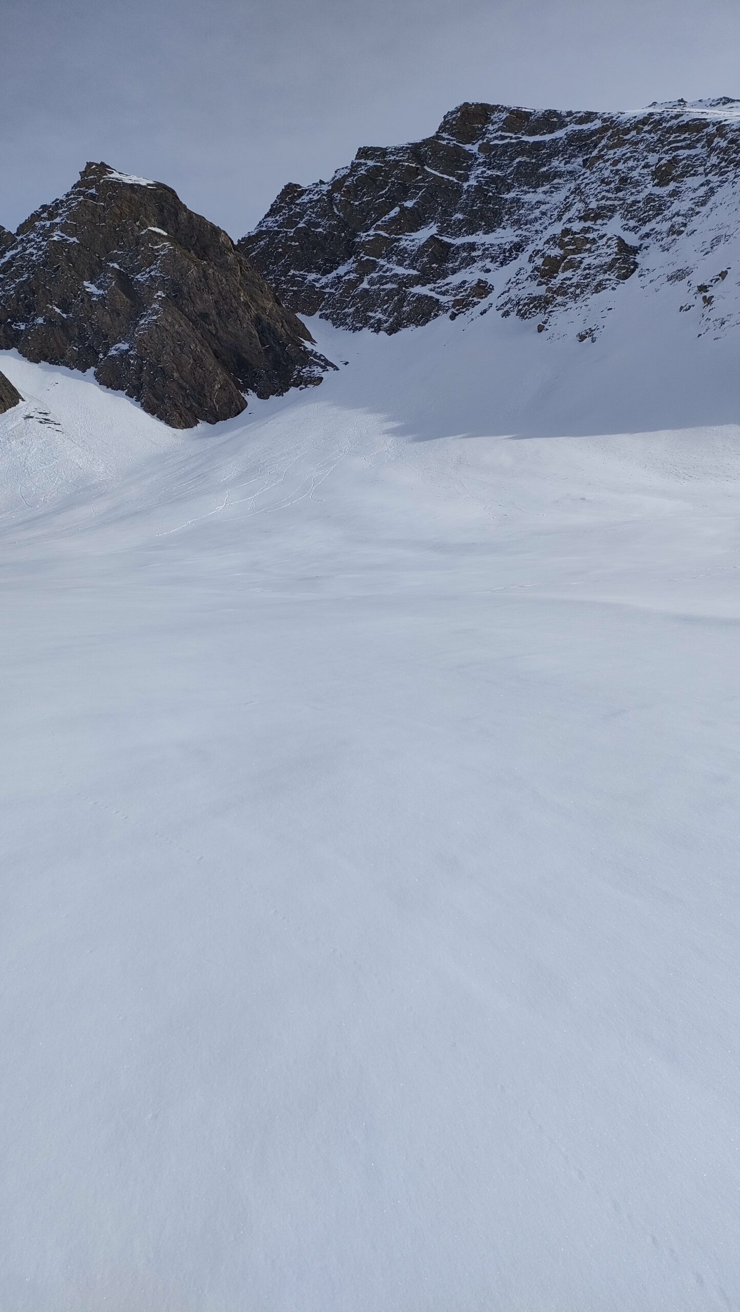
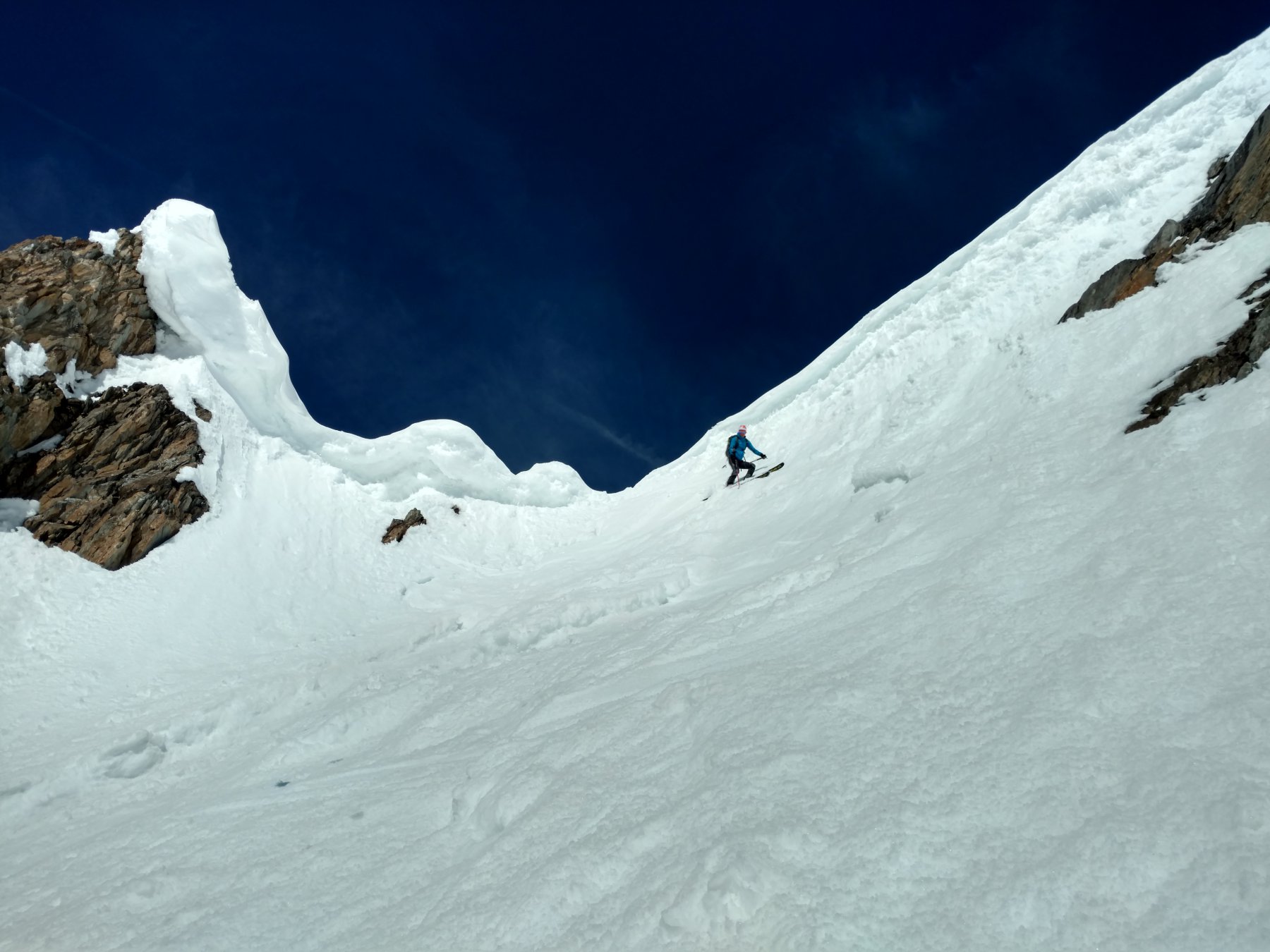
Lasciata l’auto si segue brevemente la poderale verso sud-ovest. Appena la vegetazione si dirada, si può salire in verticale by-passando i noiosi tornanti. In questo tratto scarica puntualmente una grossa valanga. Deviare poi alla propria dx e, continuando a seguire la strada, si sbarca in un bellissimo pianoro. Seguirlo fino quasi al suo fondo. Prima di arrivare sotto la direttrice del Col d’Arp, salire alla propria dx in direzione del canale.
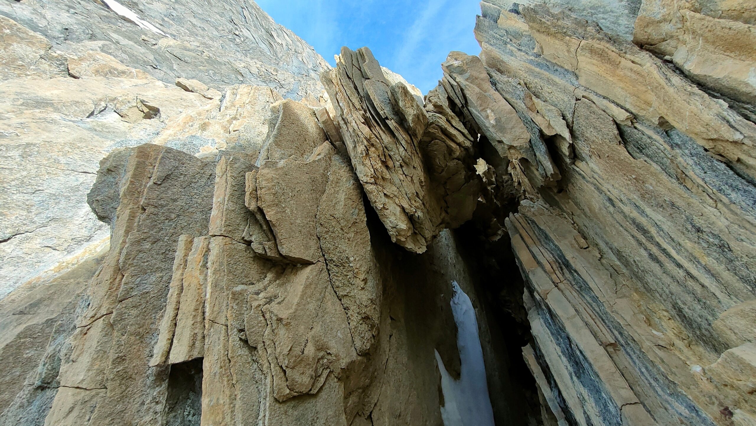
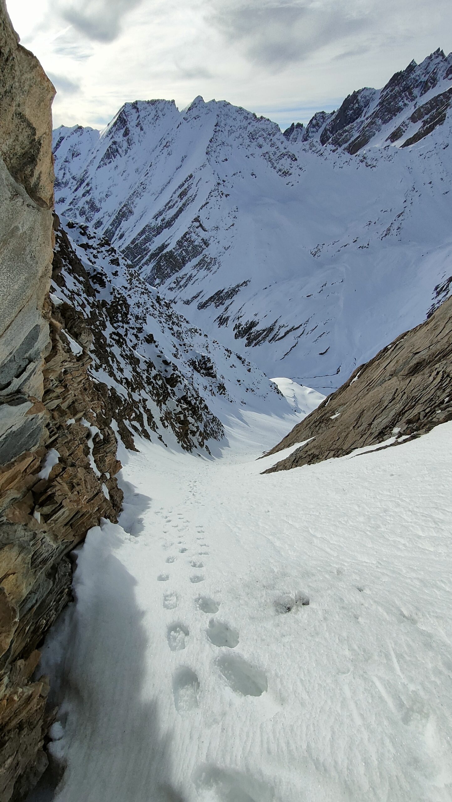
Il canale diventa ripido solo nella parte finale e non sfocia sullo spartiacque. L’accesso al colle è ostruito da una fascia rocciosa caratterizzata da un curioso buco creato da pietre sovrapposte.
Nelle vicinanze Mappa
Itinerari
22/01/2022 AO, La Thuile D+ 1538 m II, 4.3, E2 Nord-Est
Belleface (Mont, punta sud) Canale NE
 50m
50m
13/12/2025 AO, Pré-Saint-Didier D+ 1500 m II, 4.1, E2 Varie
Ane (Tête de l’) da Elevaz
 1.2Km
1.2Km
18/01/2020 AO, La Thuile D+ 1540 m III, 4.1, E2 Ovest
Lussè (Mont) Canale Ovest
 3.2Km
3.2Km
13/03/2026 AO, Morgex D+ 1000 m III, 4.3, E3 Nord
Colmet (Mont) Parete Nord
 3.5Km
3.5Km
04/06/2008 AO, Pré-Saint-Didier D+ 1600 m 4.2, E3 Nord
Vieux (Tete de) Canale dx – Couloir delle Placche
 3.7Km
3.7Km
03/04/2026 AO, Pré-Saint-Didier D+ 1676 m III, 5.1, E3 Nord-Est
Vieux (Tete de) Canale centrale
 3.7Km
3.7Km
04/05/2008 AO, Pré-Saint-Didier D+ 1500 m II, 4.2, E2 Sud-Est
Berrio Blanc (Mont) colle 3150 m Canale Est
 4.1Km
4.1Km
16/02/2025 AO, La Thuile D+ 1105 m II, 4.1, E1 Sud-Ovest
Belleface (Mont, punta sud) Canale SO
 4.1Km
4.1Km
01/05/2026 AO, La Thuile D+ 1916 m II, 4.1, E1 Varie
Percé (Mont) anello canali sud e nord-ovest
 4.1Km
4.1Km
19/03/2026 AO, La Thuile D+ 1650 m II, 4.1, E1 Sud-Est
Berrio Blanc (Mont) Versante SE
 4.1Km
4.1Km
Servizi
8.8Km