200m
200m
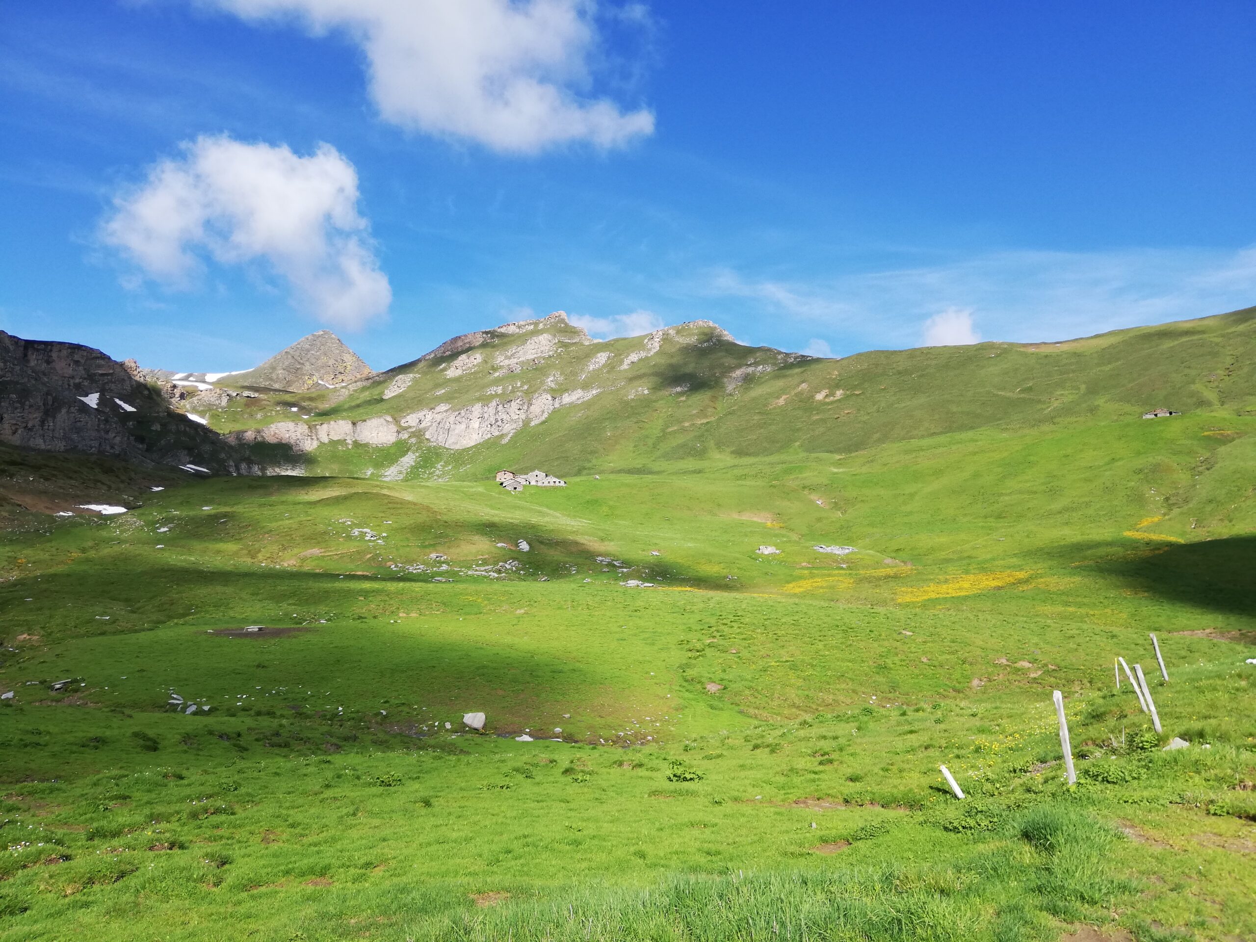
Avvicinamento
 50m
50m
50m
50m
4.2Km
4.2Km
4.2Km
4.2Km
50m
50m
50m
50m
4.2Km
4.2Km
4.2Km
4.2Km
200m
2.1Km
2.4Km
4.3Km
5.7Km
5.9Km
5.9Km
6.2Km
7.3Km
7.4Km
Da Dronero risalire la val Maira fino a Macra.
Descrizione
Da Macra, si scende brevemente per attraversare il torrente Maira, e poi inizia la salita su asfalto che condurrà in circa 7 km alla frazione Chiesa; da qui seguire le indicazioni per San Sebastiano e Chiotto (non salire quindi a monte della borgata sulla strada principale, ma si prosegue in piano nella via che attraversa le case). Superata la borgata Chiotto, ultimo borgo si prosegue su fondo sterrato, ottimo, entrando nel nel Vallone del Bedale Tibert.
La pista prosegue in falsopiano per un tratto, nel fresco bosco del versante ovest, prima di riprendere a salire ancora dolcemente fino ad un ponte, che consente di attraversare il rio. Le pendenze ora cambiano, restando costanti e sostenute (spesso sul 15%) con traversi e numerosi tornanti su ottimo fondo.
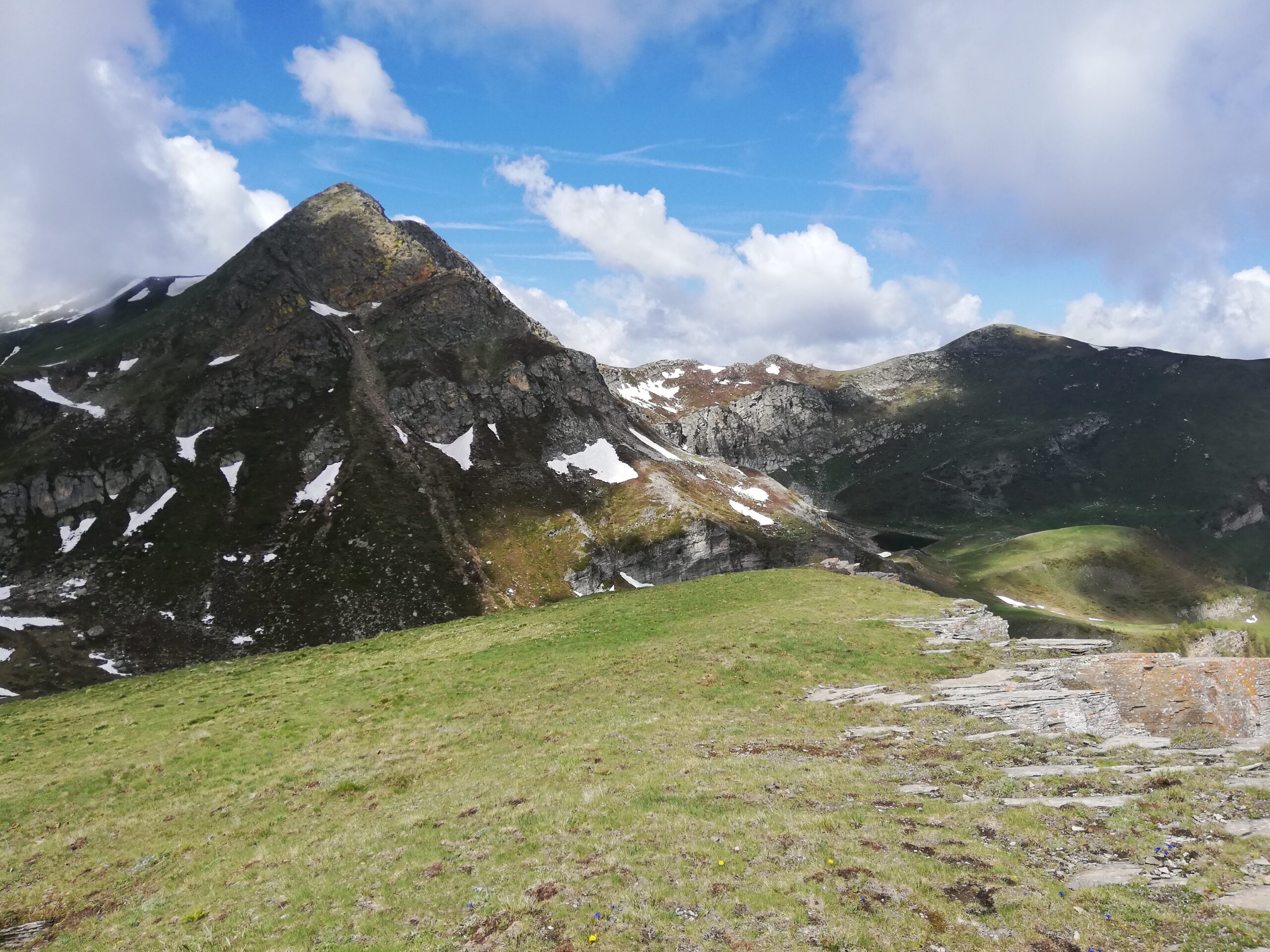
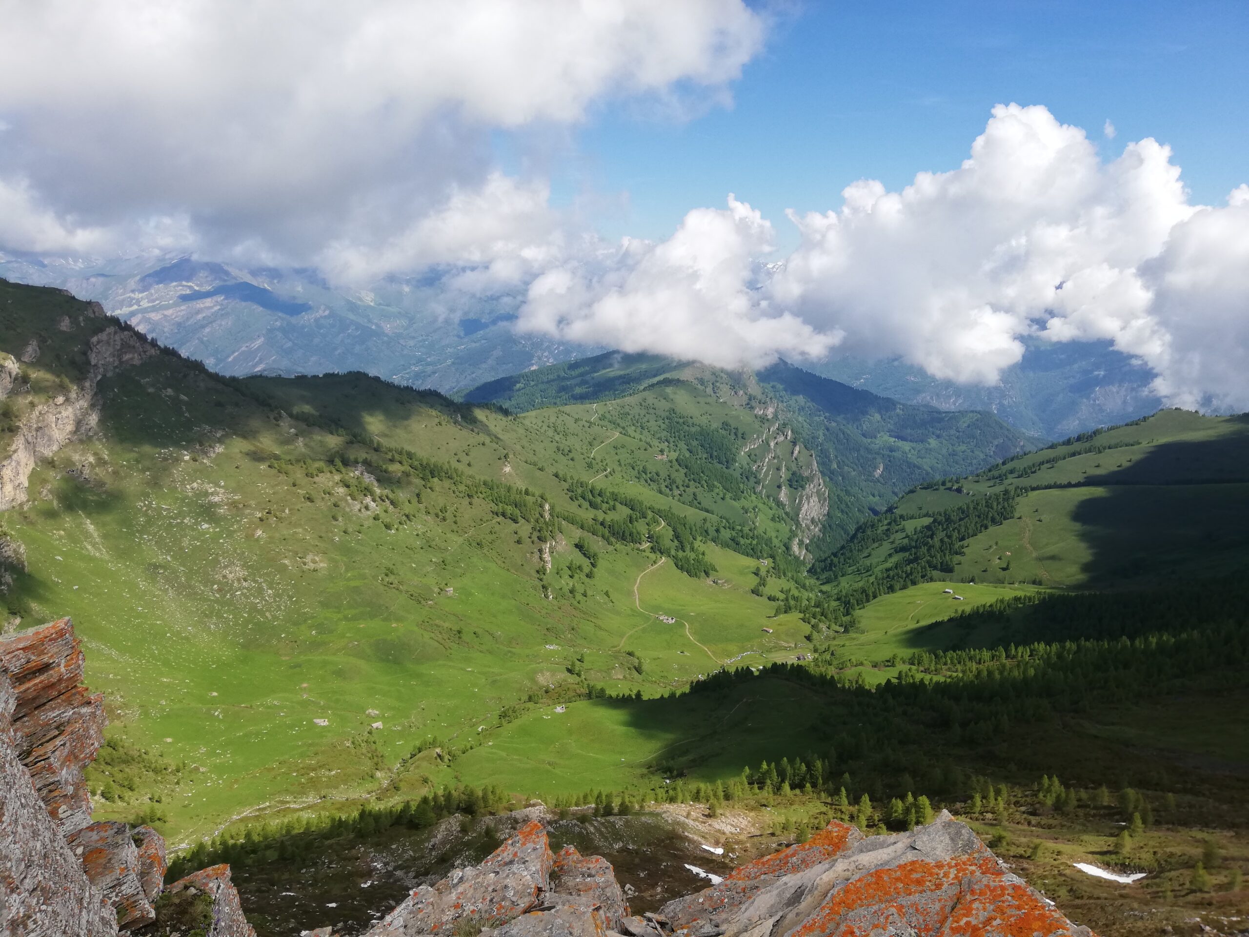
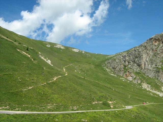
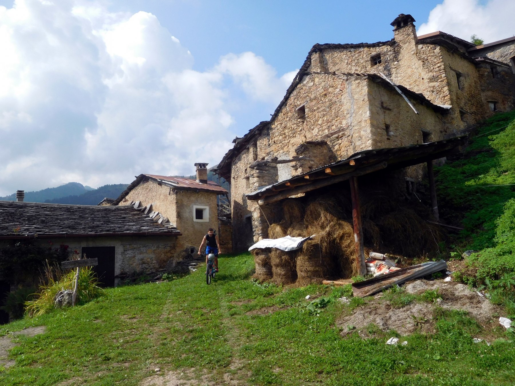
Usciti definitamente dal bosco, sul versante assolato, si entra nella pascoliva parte superiore del vallone con belle vedute paesaggistiche.
Ignorando un bivio sulla destra, si attraversa un ponticello e si svolta a sinistra; ancora qualche ripido tornate fino ad un bivio. Continuando a sinistra per un breve tratto in piano, e poi a destra al successivo, si arriva in facile salita alla Bassa di Narbona. Questa deviazione non è necessaria per la continuazione del giro ma è decisamente consigliabile.
Tornati al bivio precedente, si continua sulla bella sterrata verso le Grange Tibert, bisognerà però affrontare una rampa molto impegnativa di 200 m circa al 20%, che consente di entrare nella conca con i numerosi alpeggi sparsi tra i pascoli. Qui termina la strada nei pressi di due prese dell’acqua in corrispondenza di alcune sorgenti.
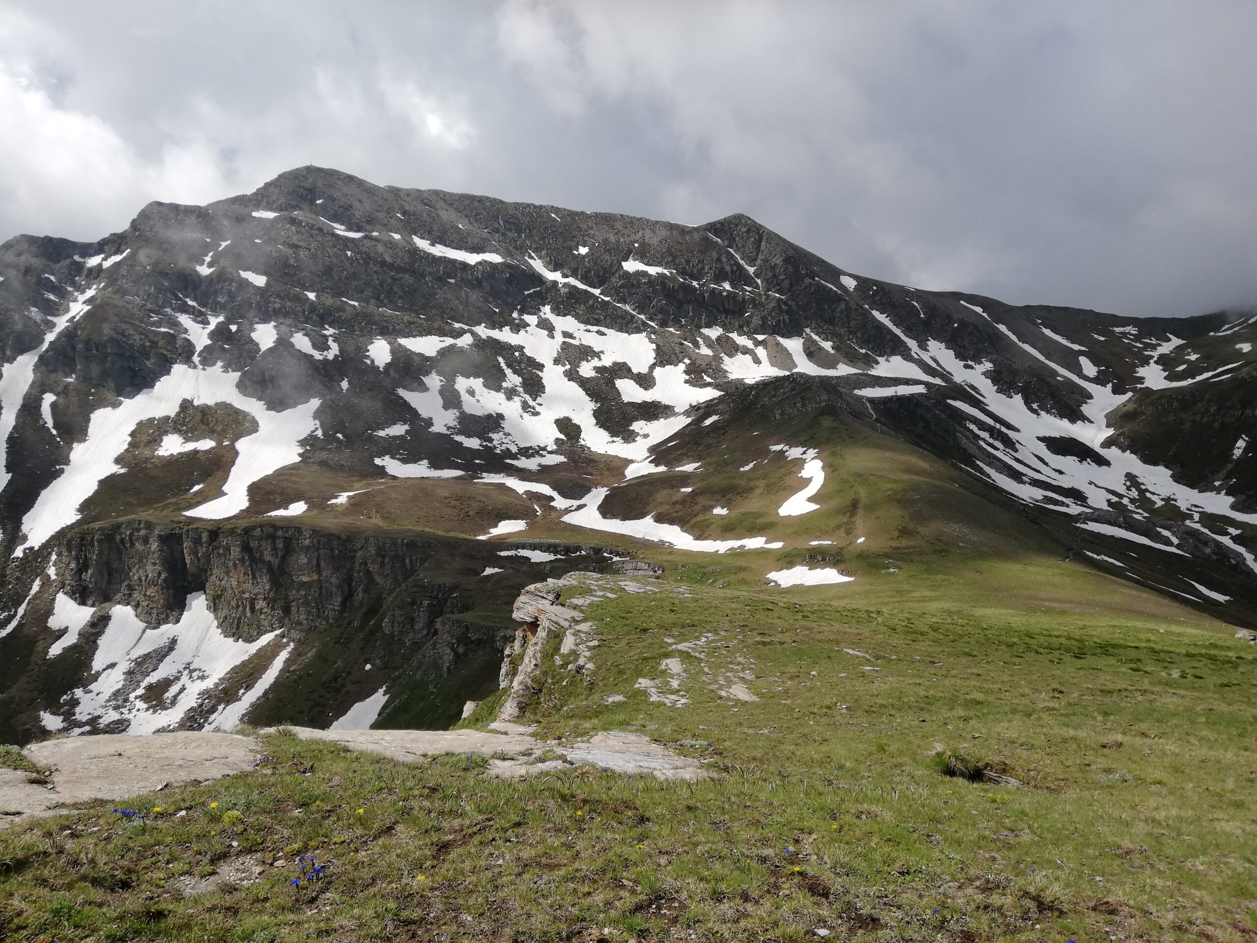
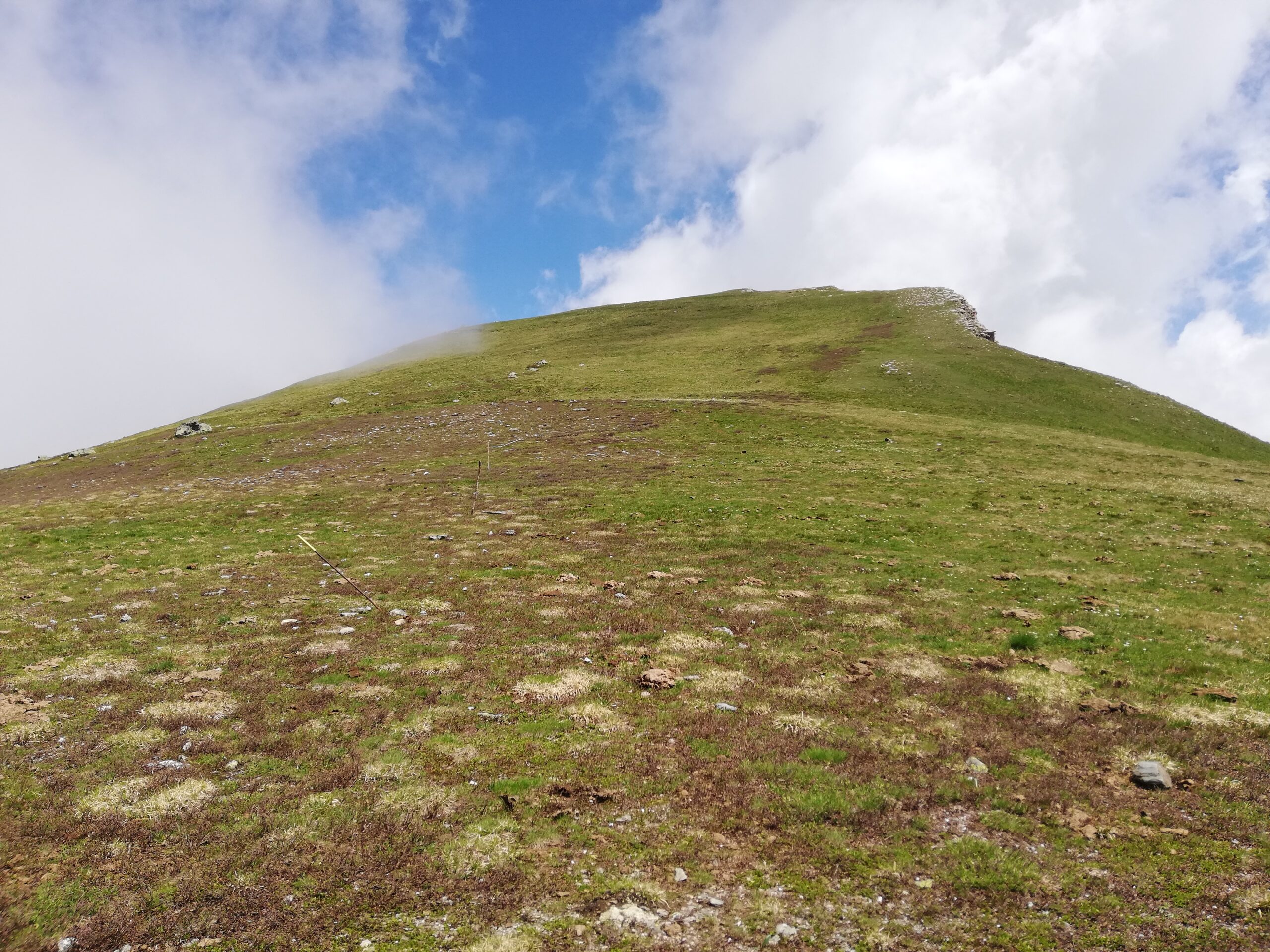
Il sentiero oltre l’ alpeggio diretto al colle Intersile richiede un portage di 20/30′ con alcuni brevi passaggi in cui conviene caricare la bici a spalle, fino al colletto sullo spartiacque con il vallone del Bedale Intersile. Da questo vasto pianoro erboso si può salire in pochi minuti a piedi (eventualmente con bici al fianco) a destra sulla Rocca della Comunetta, una cima modesta che però offre un panorama notevole.
La discesa si effettua sul versante opposto, su un bel sentiero a tratti molto facile da effettuare in sella, specie l’inizio ed il finale, intramezzato da un tratto su una ex mulattiera più tecnico e sassoso. Si intercetta a quota 2050 m la strada sterrata per il Colle Intersile del Monte Festa, che va seguita in salita per circa 1 km (pendenza molto blanda) per poi scendere a Marmora su sterrato prima ed asfalto poi.
Quindi si fa rientro a Macra per la strada provinciale.
Nelle vicinanze Mappa
Itinerari
12/09/2007 CN, Macra D+ 1913 m BC, BC, S2 Tutte
Festa (Monte) e Costa Chiggia da San Damiano Macra, giro
 50m
50m
17/09/2022 CN, Macra D+ 1500 m MC, BC+, S2 Varie
Narbona (Bassa di) da Macra, giro per il Vallone del Tibert
 50m
50m
15/09/2007 CN, Macra D+ 1860 m MC, MC+, S2 Tutte
Esischie, Sibolet, Intersile (Colli) da Macra, giro della Punta Tempesta
 50m
50m
02/04/2023 CN, Macra D+ 1300 m MC+, MC, S1 Varie
Palent, Aramola, Castellaro (Borgate) da Macra, giro
 50m
50m
12/12/2015 CN, Macra D+ 1750 m MC+, OC+, S2 Sud
Cugulet (Monte) da Macra, giro
50m
01/10/2023 CN, San Damiano Macra D+ 1919 m MC+, BC, S2 Tutte
Cernauda (Rocca della) da Lottulo, giro per la Bassa di Narbona
 4.2Km
4.2Km
06/11/2022 CN, San Damiano Macra D+ 750 m TC, MC+, S1 Tutte
Sentiero dei Ciclamini e borgate di Macra da Lottulo
 4.2Km
4.2Km
24/06/2023 CN, San Damiano Macra D+ 2000 m MC+, OC, S2 Nord
Sibolet (Colle) da Lottulo per il Colle d’Esischie e la Bassa di Narbona
 4.2Km
4.2Km
24/08/2019 CN, San Damiano Macra D+ 1050 m MC+, MC+, S1 Varie
Soglio (Comba di) da Lottulo, giro per il sentiero Naslu e la discesa dei Piloni
 4.2Km
4.2Km
11/08/2012 CN, Stroppo D+ 1650 m MC, MC+ Sud
Sampeyre (Colle di) da San Damiano Macra anello per il Colle Birrone
4.6Km
Servizi
200m
2.1Km
Locanda Rifugio
Celle di Macra
2.4Km
Del silenzio Rifugio
Macra
4.3Km
La Canonica Ristorante
San Damiano Macra
5.7Km
Alpes d’Oc B&B
Stroppo
5.9Km
I giardini di Provenza Ristorante
Stroppo
5.9Km
Napoleonica Ristorante
Stroppo
6.2Km
La Freidio B&B
Marmora
7.3Km
Sant’Anna Rifugio
Sampeyre
7.4Km