 1.5Km
1.5Km

Note
 150m
650m
1Km
1Km
1Km
2.6Km
2.6Km
2.6Km
150m
650m
1Km
1Km
1Km
2.6Km
2.6Km
2.6Km
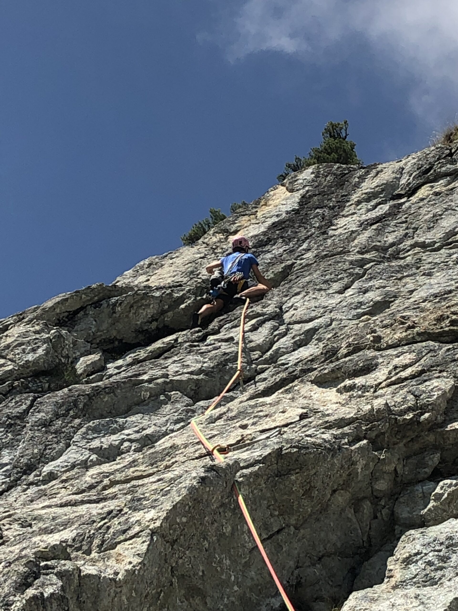
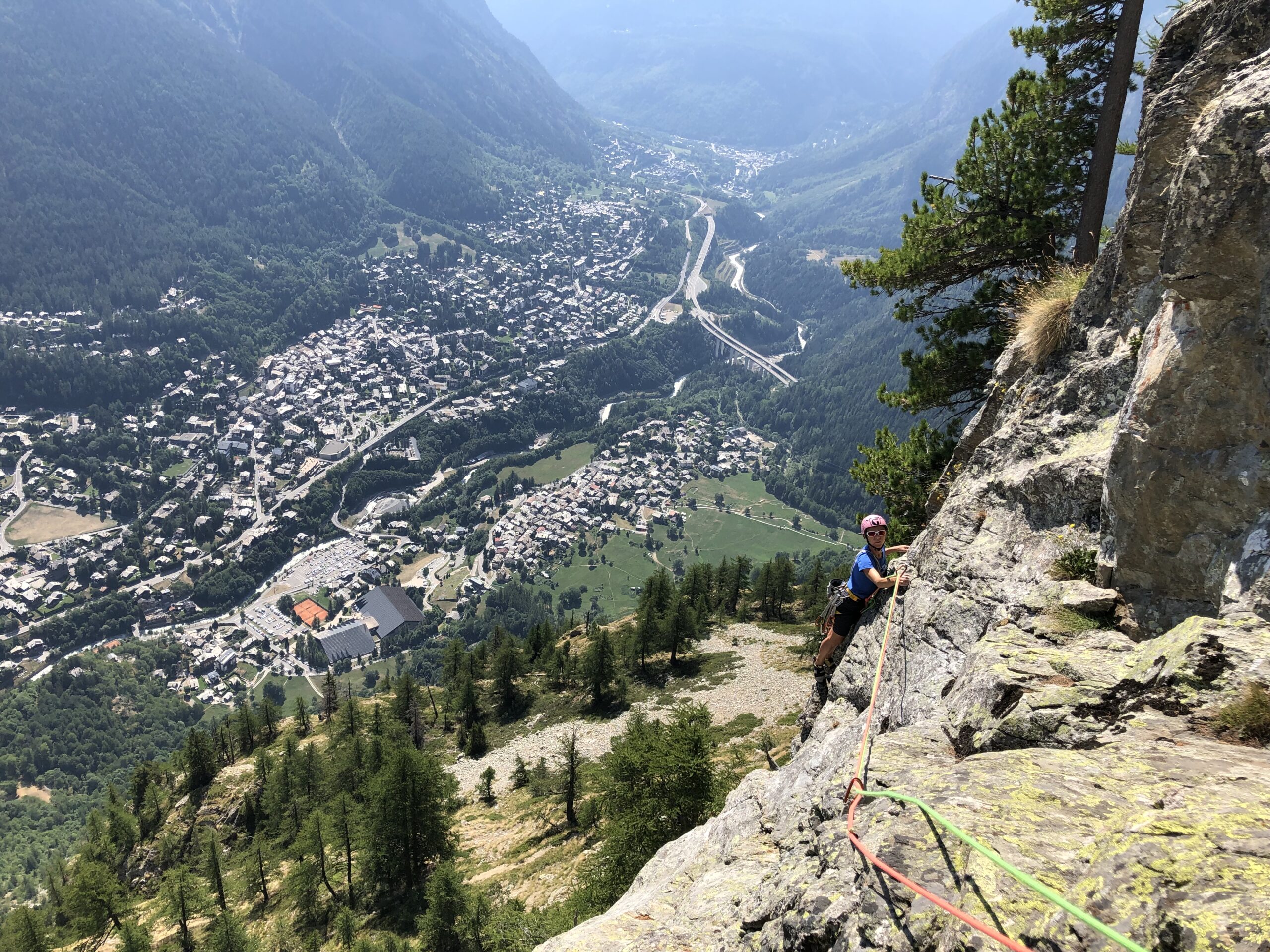
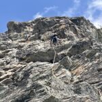
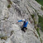
Breve e bella via su roccia ottima.
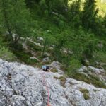
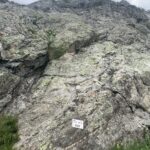
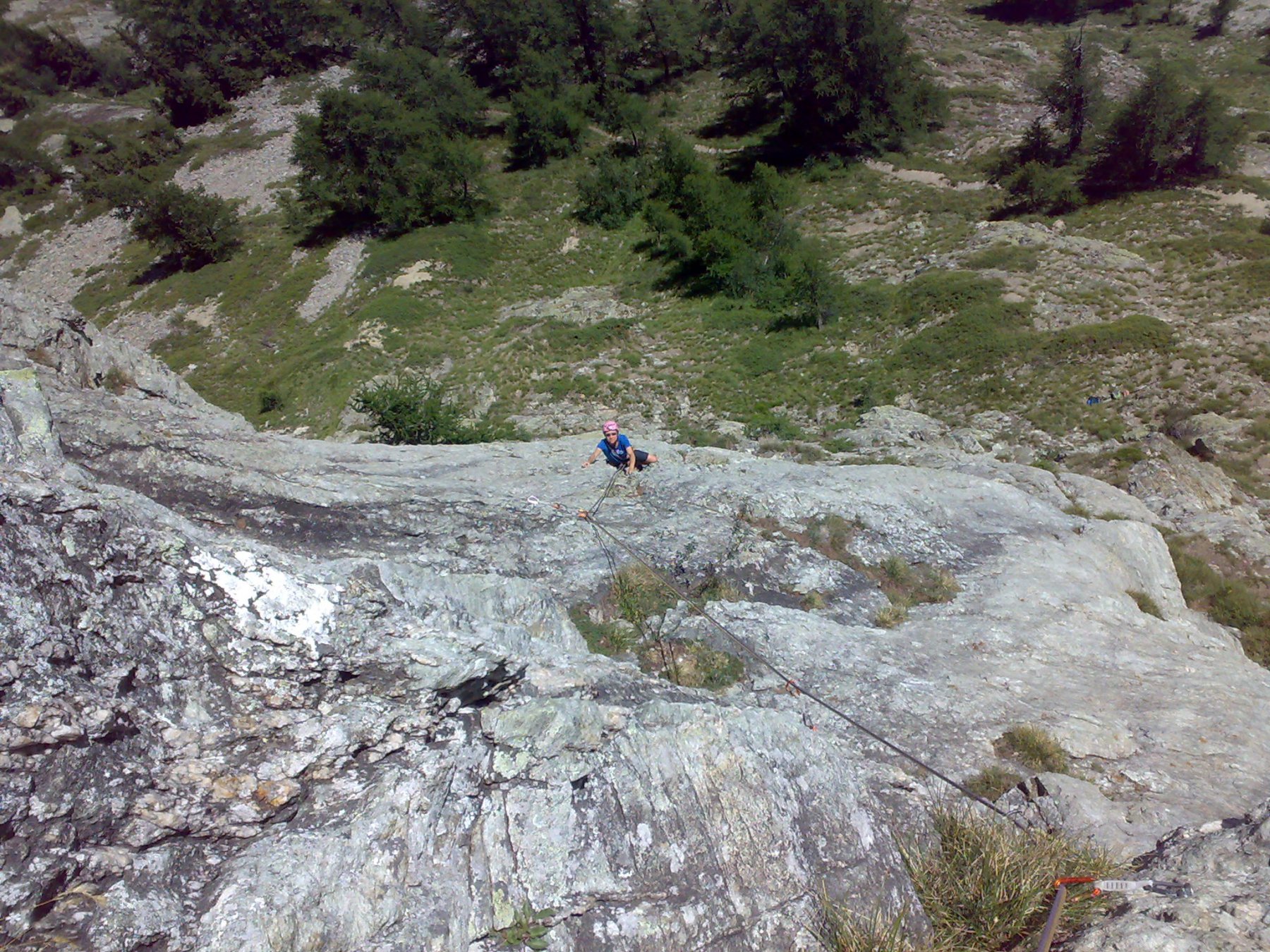
Avvicinamento
Da Pre de Pascal avvicinamento comune alle altre vie del versante est del Mont Chetif
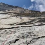
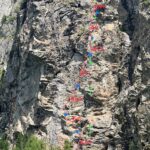
Descrizione
L1: 5b (spigolino);
L2: 6b (verso sx poi placca lavorata);
L3: 6b+ (prima a sx poi muro leggermente aggettante e placca verso dx);
L4: 6c (muretto leggermente aggettante su svasi poi verso dx fino in sosta)
Due corde da 60 mt, 12 rinvii.
Discesa con tre calate di cui l’ultima lunga.
Roccia ottima
- Bibliografia:
- Valle D’Aosta Sport Climbing
Nelle vicinanze Mappa
Itinerari
20/08/2023 AO, Courmayeur 6a+, 6a obbl. Nord-Est
Chetif (Mont) – Madonna dell’Est o Madonnina
 150m
150m
02/07/2026 AO, Courmayeur 5c, 5a obbl. Nord-Ovest
Chetif (Mont) – 27 Luglio
 650m
650m
04/10/2025 AO, Courmayeur 6a+, 6a obbl. Sud-Ovest
Chetif (Mont) – Incredulix
950m
10/08/2024 AO, Courmayeur 5a, 4 obbl. Sud-Est
Chetif (Mont) – Alisee e gli Amici Canterini
 1Km
1Km
22/08/2025 AO, Courmayeur 6a, 5c obbl. Sud-Est
Chetif (Mont) – Pierre Navigatore delle Creste
 1Km
1Km
08/07/2023 AO, Courmayeur 6b+, 6a obbl. Sud-Est
Chetif (Mont) – Bersagli Mobili
 1Km
1Km
04/01/2023 AO, Courmayeur 7a+, 6c obbl. Sud-Ovest
Saxe (Mont de la) – Non Toccatemi il Pilastro
2.5Km
06/08/2022 AO, Courmayeur 7c+, 6c obbl. Est
Brenva (Aiguille de la) – Mares
 2.6Km
2.6Km
06/06/2024 AO, Courmayeur 6c+, 6b obbl. Ovest
Saxe (Mont de la), Pilastro Bertone – Solo per Vecchi Coglioni
 2.6Km
2.6Km
24/07/2025 AO, Courmayeur 6a+, 5c obbl. Sud
Eveque (Aiguille de l’), contrafforti – Impressioni di Settembre
 2.6Km
2.6Km