 3.7Km
3.7Km
Note
 0m
950m
2.5Km
4.3Km
4.4Km
4.4Km
4.4Km
4.4Km
4.4Km
4.4Km
0m
950m
2.5Km
4.3Km
4.4Km
4.4Km
4.4Km
4.4Km
4.4Km
4.4Km
3.7Km
4.1Km
5.2Km
5.9Km
7.3Km
7.5Km
7.8Km
8.1Km
8.4Km
9.7Km
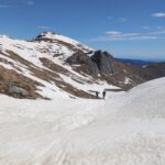
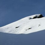
Cresta N-N-O ripida
La croce di vetta non è situata sulla massima elevazione ma a est a circa 2608 (breve traversata in cresta).
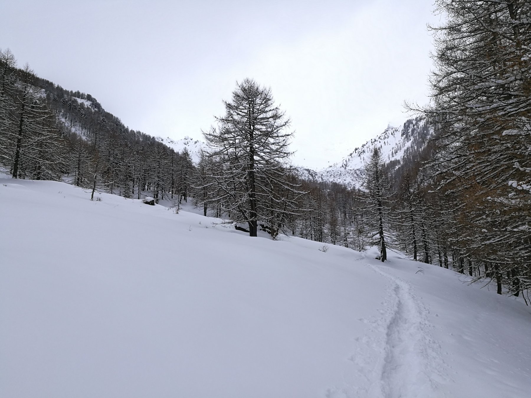
Avvicinamento
La croce di vetta non è situata sulla massima elevazione ma a est a circa 2608 (breve traversata in cresta).
.
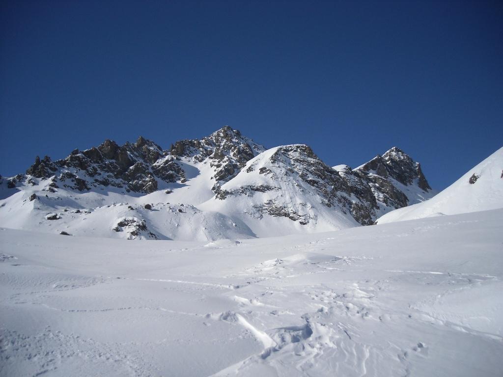
Descrizione
Da Alpe Fumavecchia sup., raggiungibile in auto da Villarfocchiardo per strada asfaltata e poi lungo sterrato, al Pian dell’Orso per sentiero (25′). Poi al colle del Vento per sentiero in mezzacosta sul lato val Sangone (1h10′). Poi al colle della Valletta traversando il fianco della Punta Costabruna sul lato ValSangone (sentiero) o per cresta (burroni sul versante Val Gravio).
Poi cresta N-N-O del M.Pian Real.
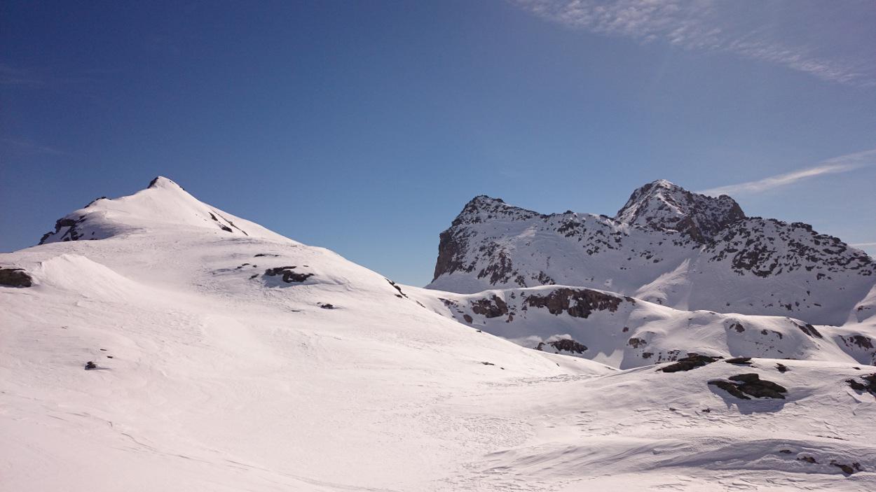
Discesa anche per canale-pendio a est della cresta.
Ultima revisione 24/06/2024
Nelle vicinanze Mappa
Itinerari
10/04/2026 TO, Villarfocchiardo D+ 1001 m MS Nord-Est
Costabruna (Punta) dall’Alpe Fumavecchia
 0m
0m
19/04/2024 TO, Villarfocchiardo D+ 1150 m MS Nord
Salancia (Monte) dalla Certosa di Montebenedetto
 950m
950m
25/03/2011 TO, San Giorio di Susa D+ 1691 m BS Nord
Cristalliera (Punta) da Adret per il Colle di Malanotte
 2.5Km
2.5Km
12/02/2017 TO, San Giorio di Susa D+ 700 m MS Nord
Toesca (Rifugio) da Airassa
 4.3Km
4.3Km
13/03/2015 TO, San Giorio di Susa D+ 2130 m BS Sud-Est
Pian Paris (Punta) da Travers a Mont, traversata a Pian Neiretto per il Colle di Malanotte
 4.4Km
4.4Km
22/03/2009 TO, San Giorio di Susa D+ 1630 m BSA Nord
Orsiera (Monte, Punta Nord) da Travers a Mont, traversata a Mattie
 4.4Km
4.4Km
18/03/2018 TO, San Giorio di Susa D+ 1350 m MS Nord-Est
Sabbione (Colle del) da Cortavetto
 4.4Km
4.4Km
22/12/2021 TO, San Giorio di Susa D+ 1378 m BS Nord-Ovest
Villano (Punta il) da Cortavetto
 4.4Km
4.4Km
18/04/2026 TO, San Giorio di Susa D+ 1600 m BS Nord-Est
Rocca Nera (Punta) da Cortavetto
 4.4Km
4.4Km
15/04/2024 TO, San Giorio di Susa D+ 1800 m BS Nord-Est
Pian Paris (Punta) da Travers a Mont, anello colli Sabbione, Porta del Villano, Malanotte
 4.4Km
4.4Km
Servizi
3.7Km
4.1Km
Cascina Roland Albergo
Villarfocchiardo
5.2Km
La Balma Ristorante
San Giorio di Susa
5.9Km
Autin B&B
Bruzolo
7.3Km
Toesca Rifugio
Bussoleno
7.5Km
I Pianas Ristorante
Coazze
7.8Km
Palazzina Sertorio Rifugio
Coazze
8.1Km
La baritlera Ristorante
Chianocco
8.4Km
il Cotonificio Bar
Chianocco
9.7Km