6Km
6Km
Note
 250m
2.1Km
3.2Km
4.2Km
4.2Km
4.7Km
5.1Km
5.3Km
5.7Km
5.7Km
250m
2.1Km
3.2Km
4.2Km
4.2Km
4.7Km
5.1Km
5.3Km
5.7Km
5.7Km
Gita dal notevole sviluppo. Picozza e ramponi utili. La zona viene frequentata dall'heliski.
Avvicinamento
Risalire con l'auto la valle di La Thuile. Superare il capoluogo e parcheggiare in località Pont Serrand dove la strada del Piccolo San Bernardo viene chiusa nel periodo invernale.
Descrizione
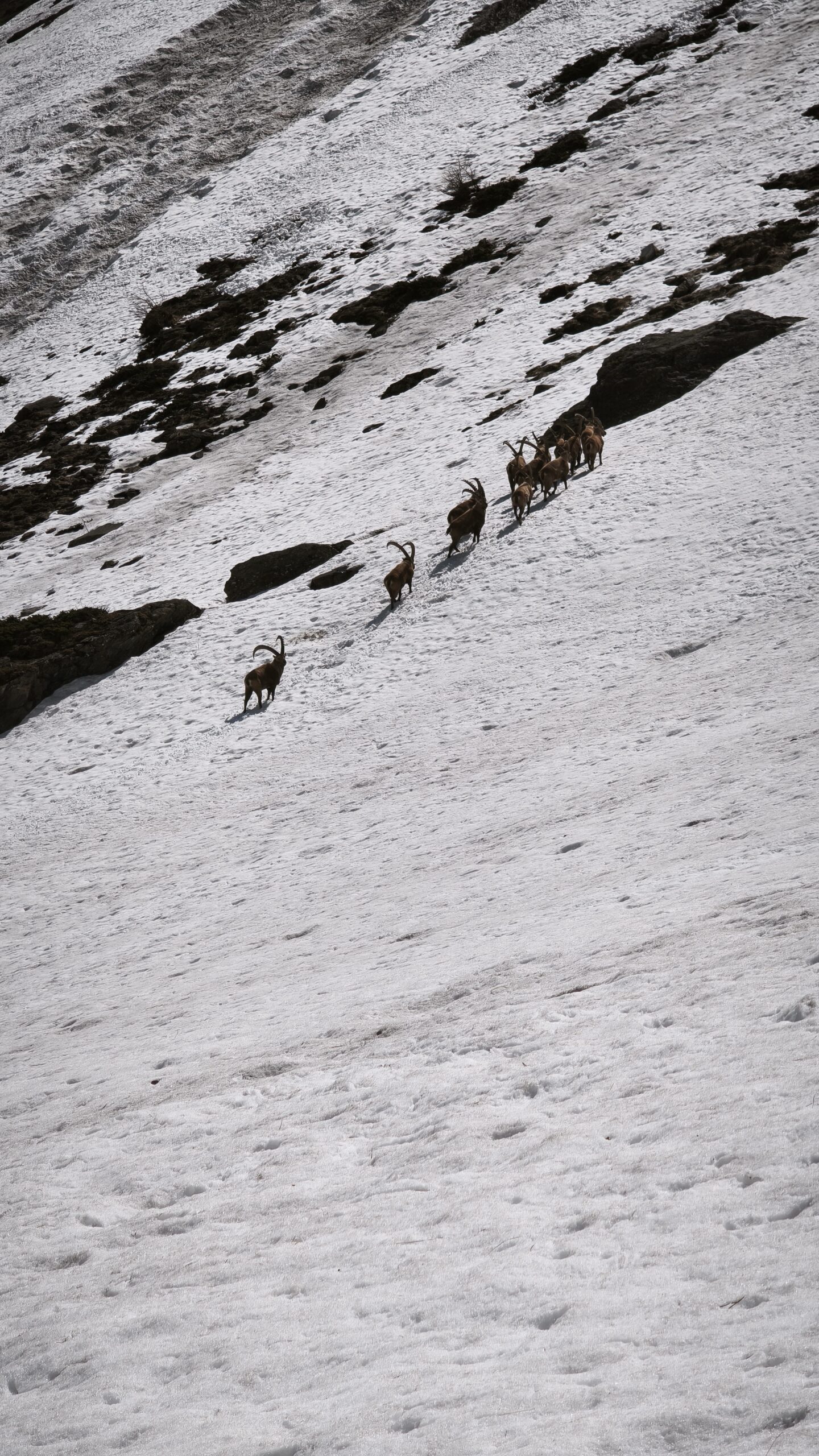
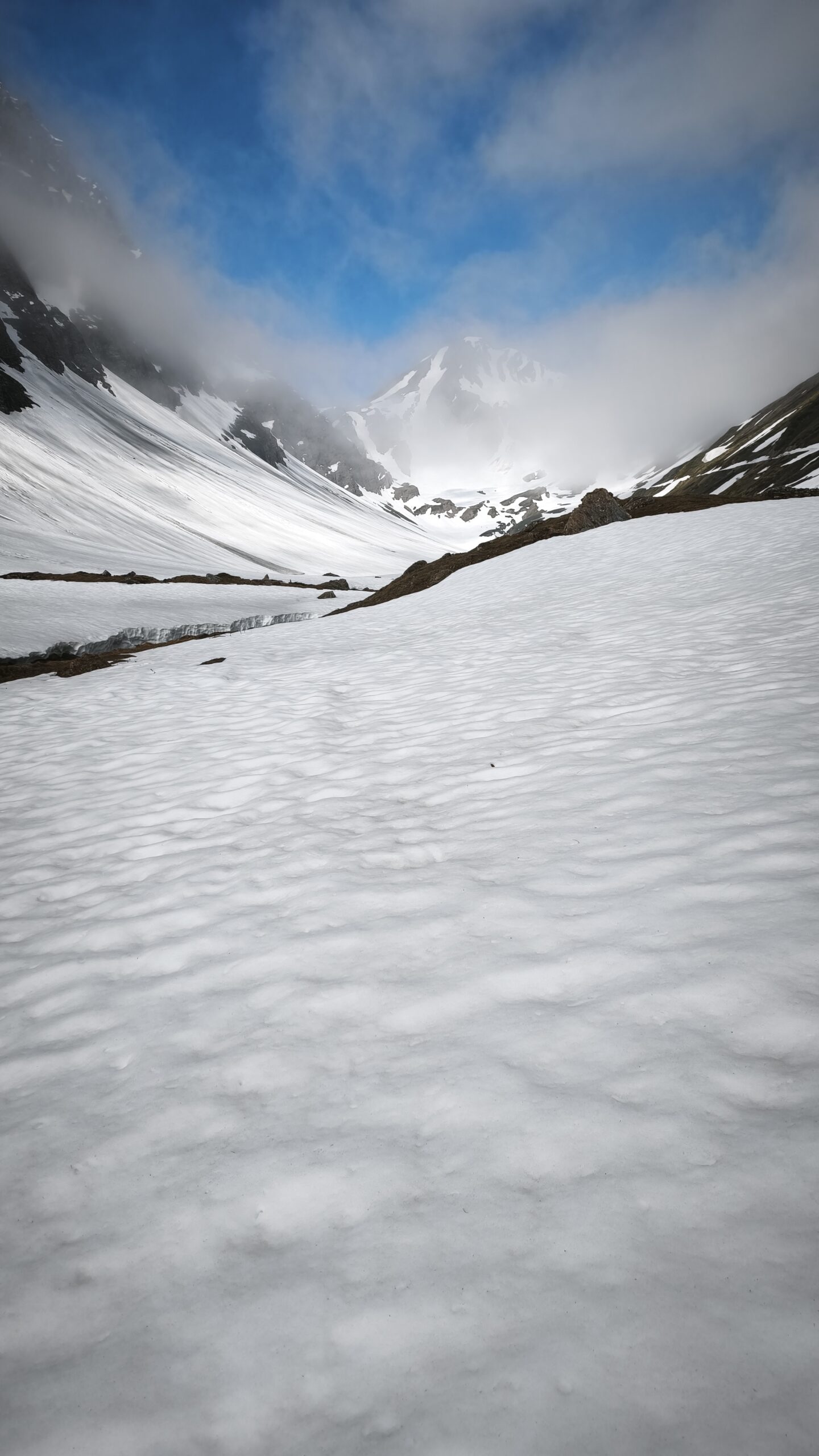
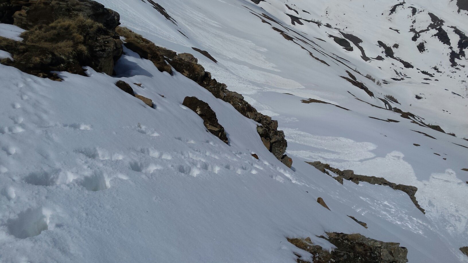
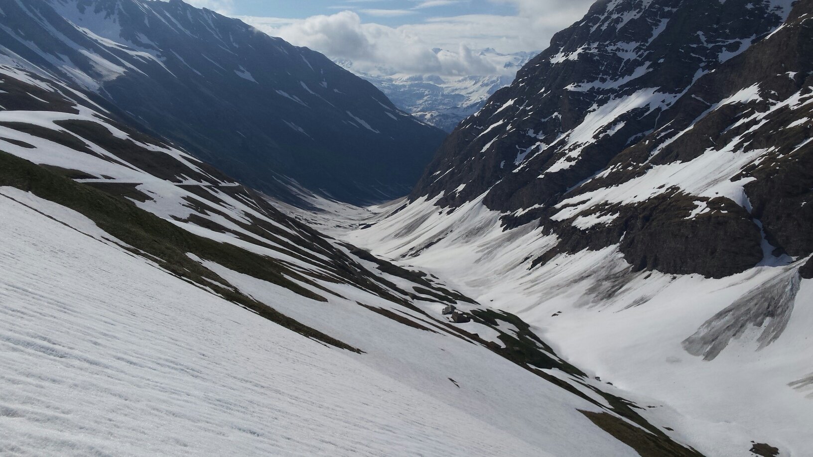
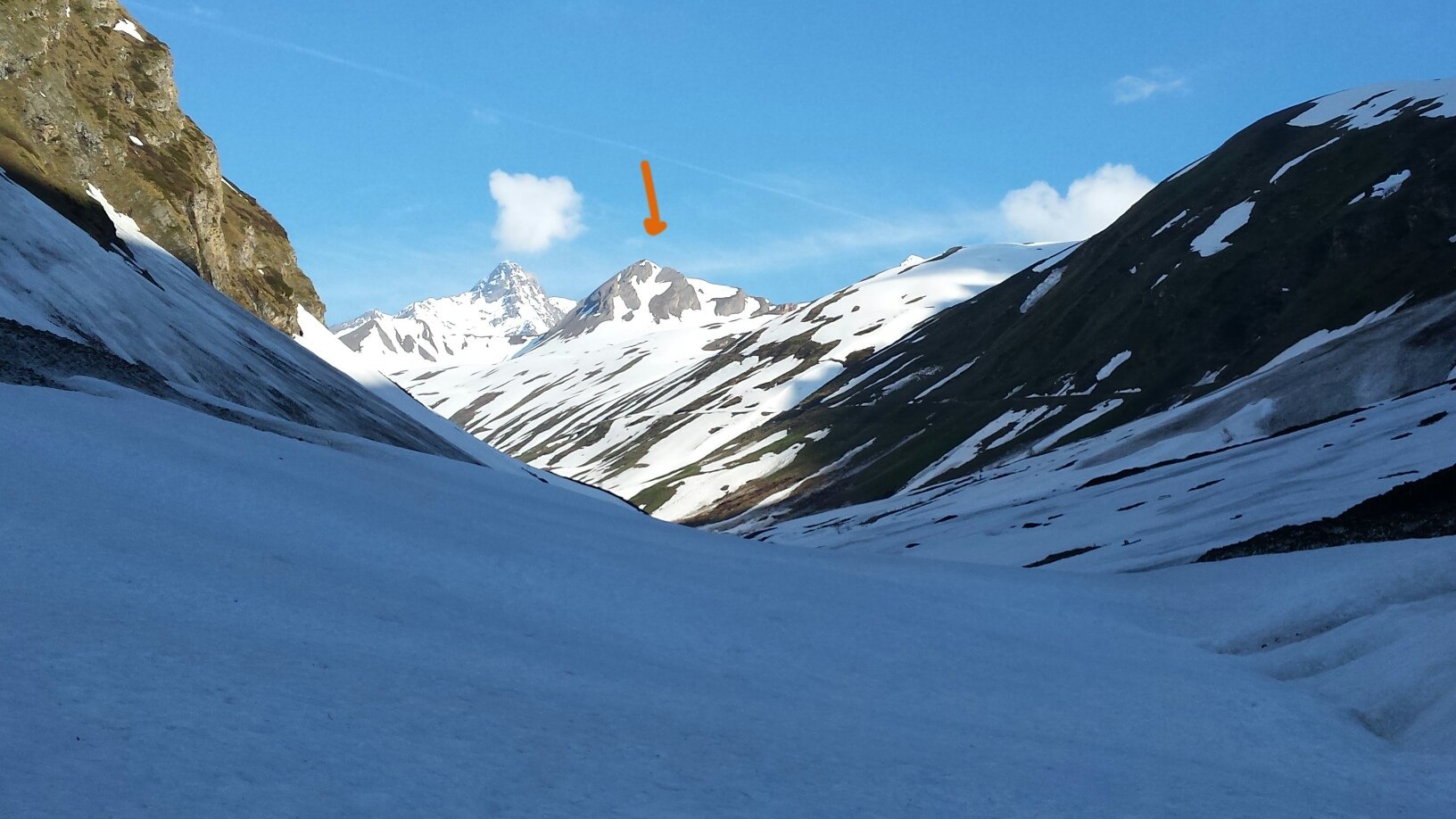
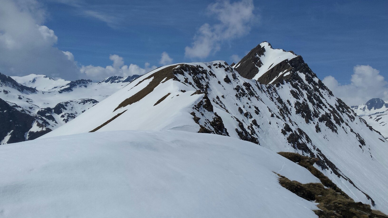
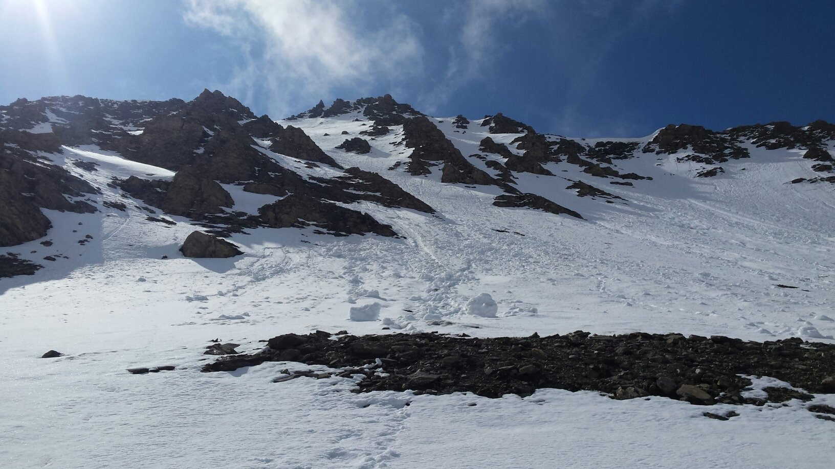
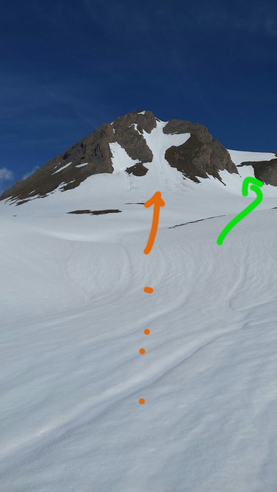
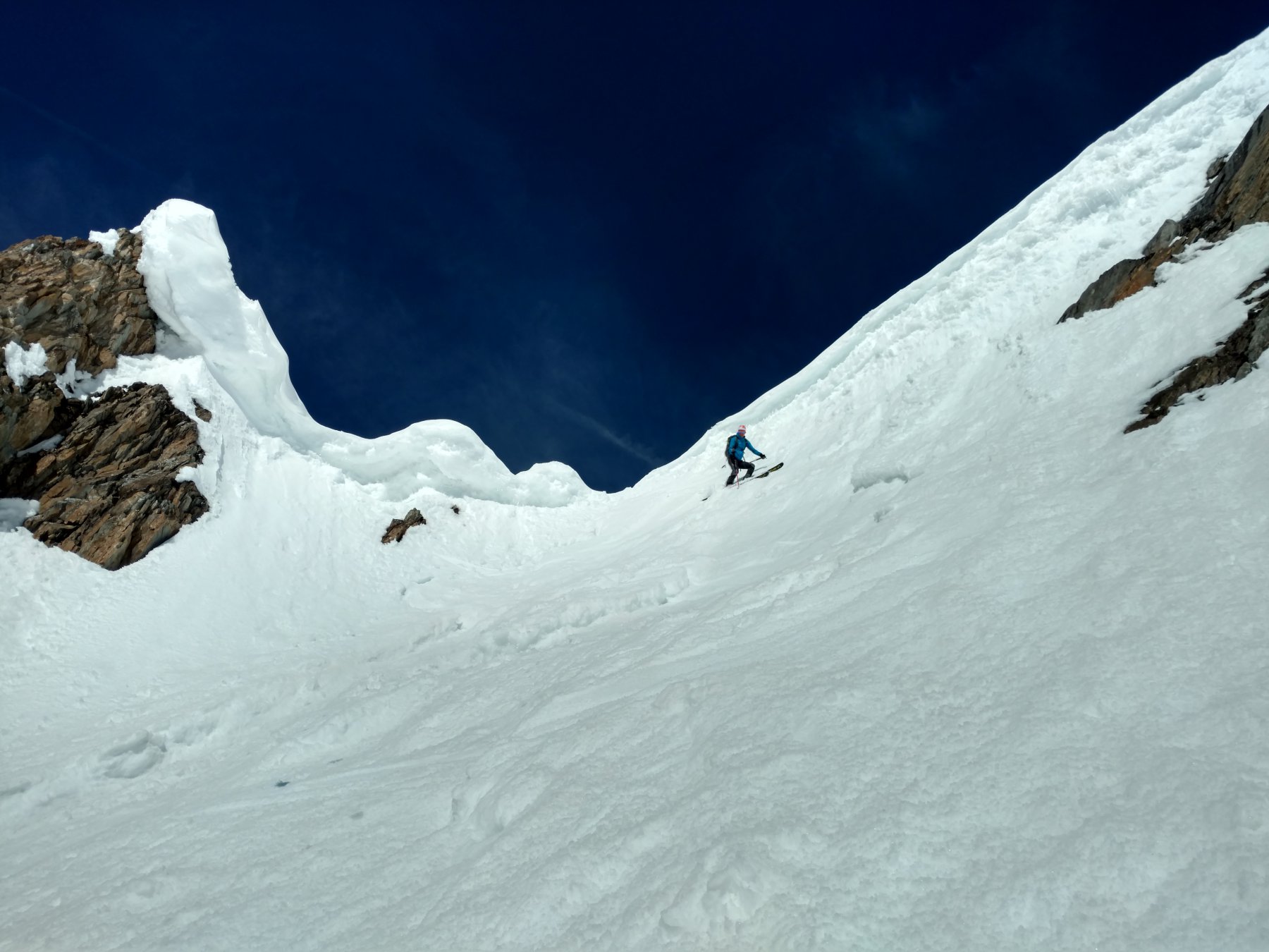
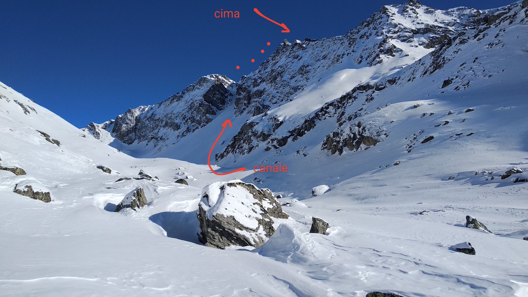
Dal parcheggio si segue il lungo vallone di Chavannes con poca pendenza. Numerose valanghe scendono fino al torrente da entrambi i versanti. Giunti ai piedi della cima, si può scegliere se salire direttamente il canale sud o, in alternativa, dal più semplice canale est.
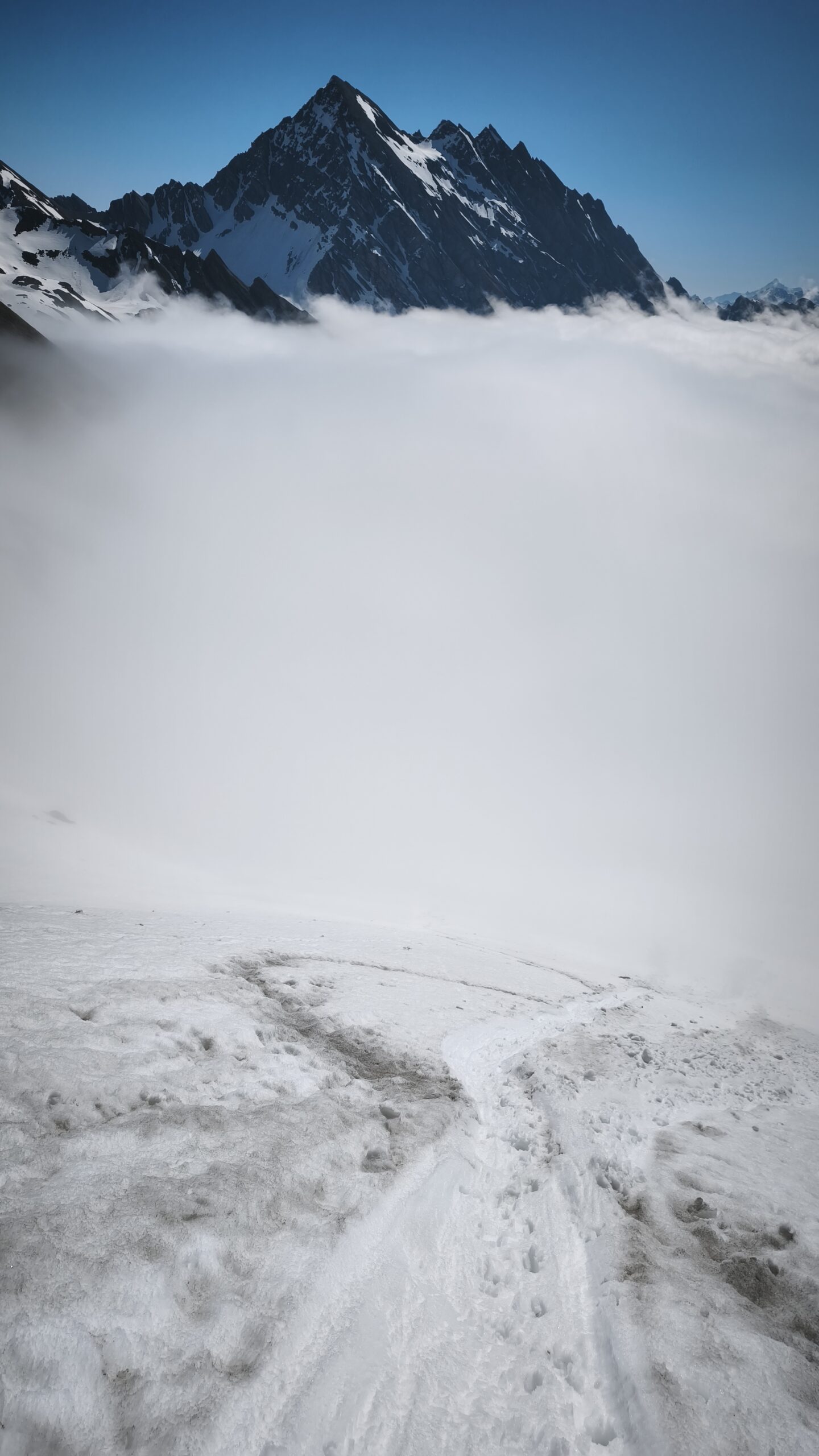
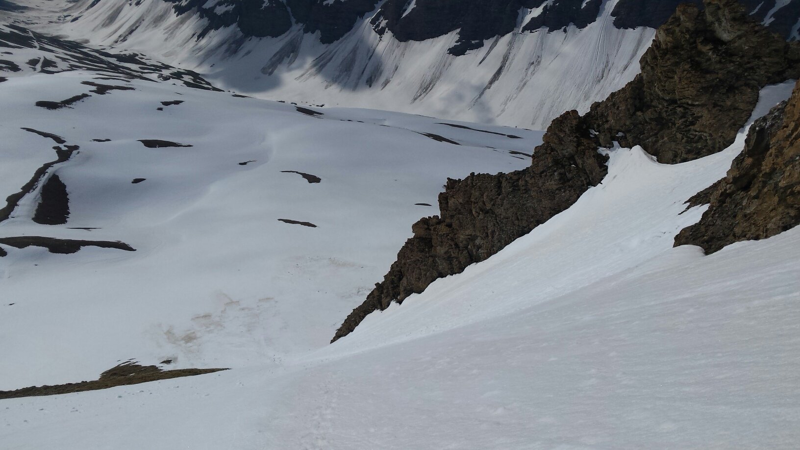
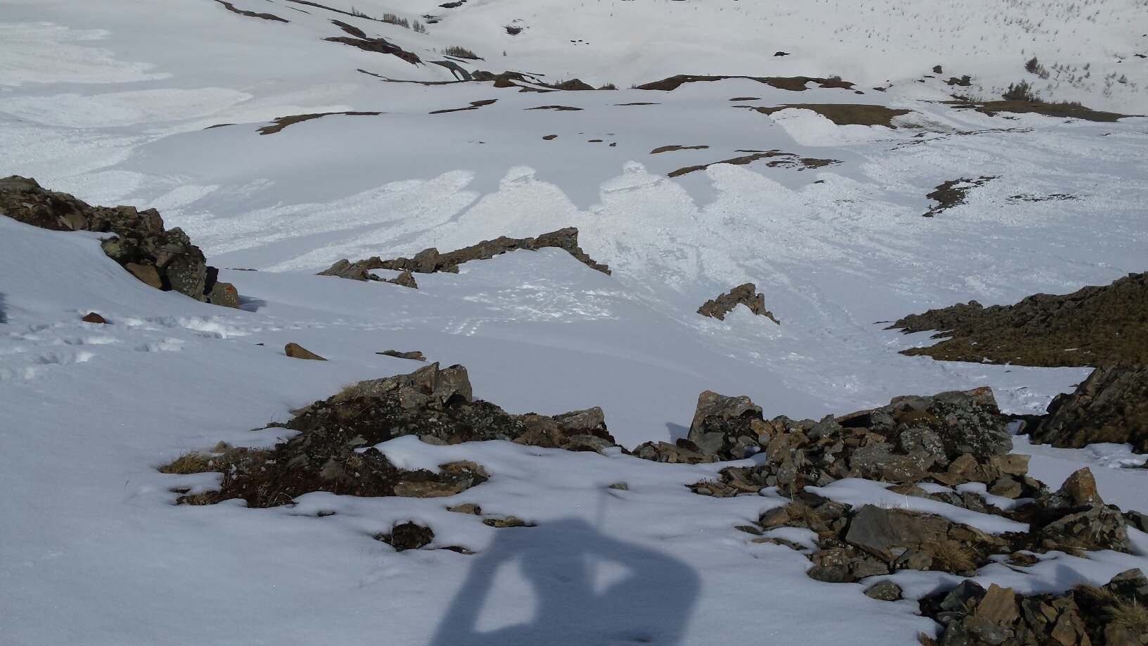
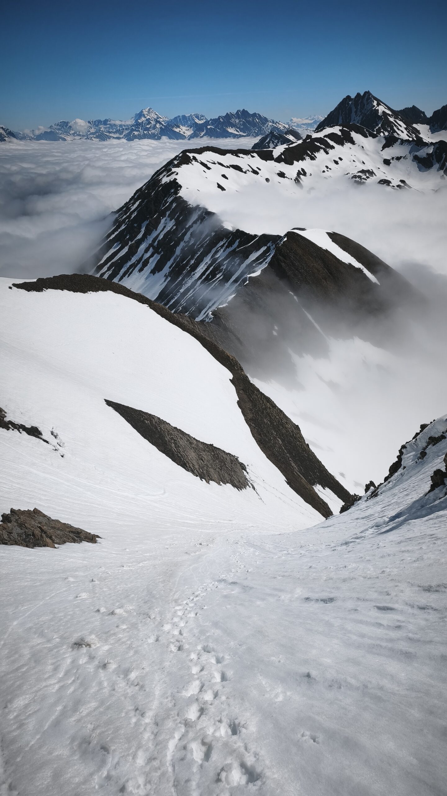
Dopo aver raggiunto la cima si scende dal versante opposto attraverso il canale nord-ovest. Per raggiungere il fondovalle, a metà discesa, bisogna fare un breve traverso a dx. Per rientrare dalla val Veny si sceglie uno dei numerosi canali che scendono dal Mont Fortin (picozza e ramponi nuovamente utili).
- Bibliografia:
- pag 278 Ridefree di Buccella e Verdecchia
Nelle vicinanze Mappa
Itinerari
19/03/2026 AO, La Thuile D+ 1650 m II, 4.1, E1 Sud-Est
Berrio Blanc (Mont) Versante SE
 250m
250m
16/02/2025 AO, La Thuile D+ 1105 m II, 4.1, E1 Sud-Ovest
Belleface (Mont, punta sud) Canale SO
 2.1Km
2.1Km
18/01/2020 AO, La Thuile D+ 1540 m III, 4.1, E2 Ovest
Lussè (Mont) Canale Ovest
 3.2Km
3.2Km
15/12/2025 AO, La Thuile D+ 1430 m II, 3.3, E1 Varie
Vieux (Tete de) cresta Tete de l’Ane quota 2747 m Canale del Buco da La Balme
 4.2Km
4.2Km
22/01/2022 AO, La Thuile D+ 1538 m II, 4.3, E2 Nord-Est
Belleface (Mont, punta sud) Canale NE
 4.2Km
4.2Km
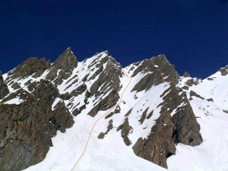
04/05/2008 AO, Pré-Saint-Didier D+ 1500 m 4.2, E2 Sud-Est
Berrio Blanc (Mont) colle 3150 m Canale Est
 4.7Km
4.7Km
08/11/2025 AO, La Thuile D+ 900 m 4.1, E2 Sud-Est
Rousses (Sommet des) o Mont de Fourclaz Canale E/SE
 5.1Km
5.1Km
13/12/2025 AO, Pré-Saint-Didier D+ 1500 m II, 4.1, E2 Varie
Ane (Tête de l’) da Elevaz
 5.3Km
5.3Km
03/04/2026 AO, Pré-Saint-Didier D+ 1676 m III, 5.1, E3 Nord-Est
Vieux (Tete de) Canale centrale
 5.7Km
5.7Km
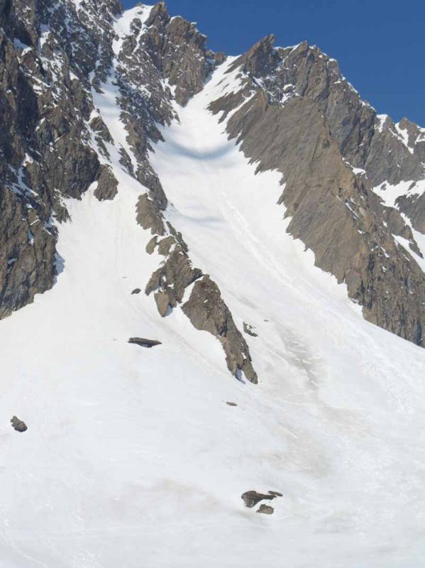
04/06/2008 AO, Pré-Saint-Didier D+ 1600 m 4.2, E3 Nord
Vieux (Tete de) Canale dx – Couloir delle Placche
 5.7Km
5.7Km