1.2Km
1.2Km
Note
 5.1Km
5.3Km
6.5Km
7.1Km
7.7Km
9.2Km
9.2Km
9.6Km
9.6Km
10.2Km
5.1Km
5.3Km
6.5Km
7.1Km
7.7Km
9.2Km
9.2Km
9.6Km
9.6Km
10.2Km
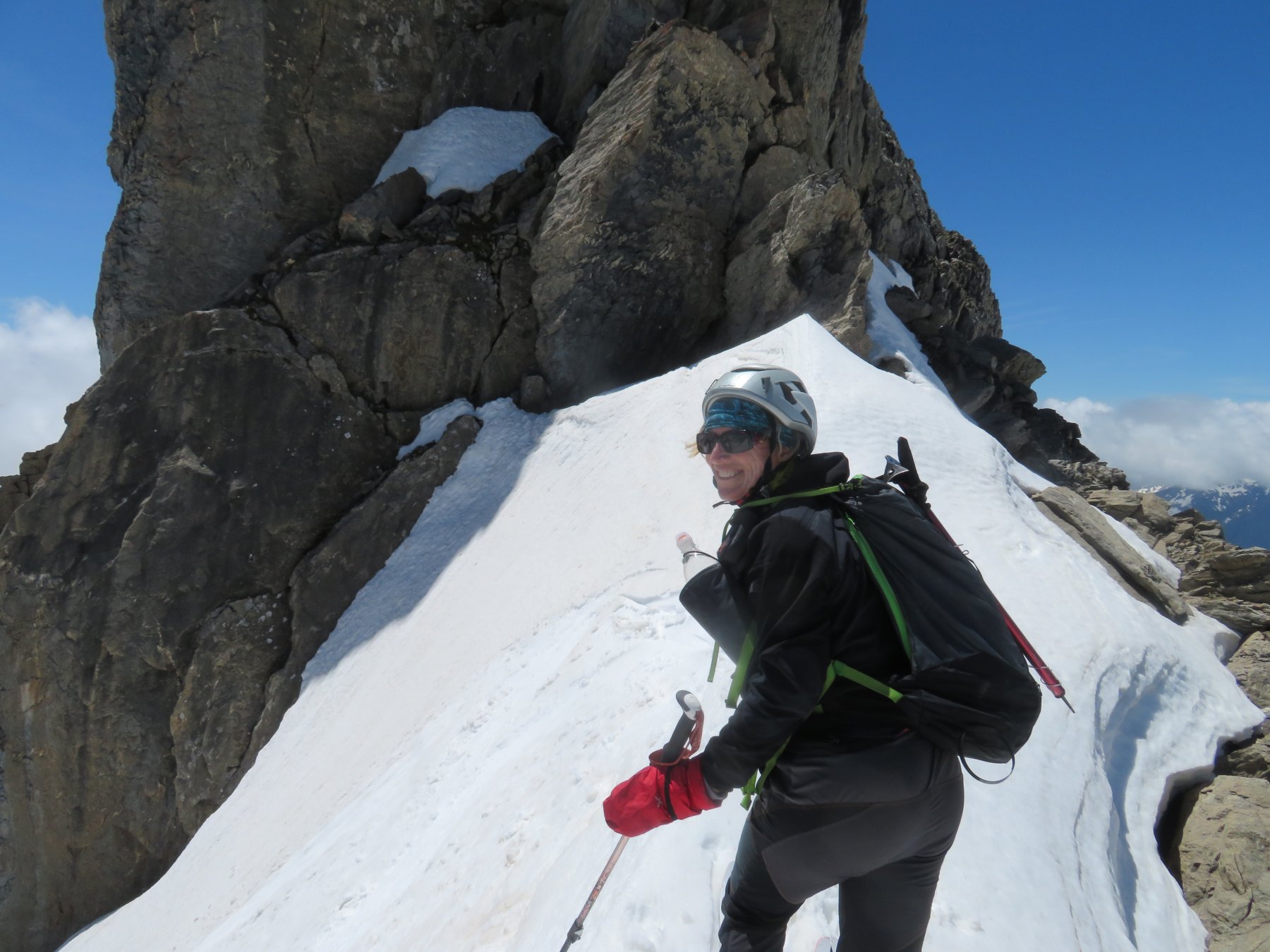
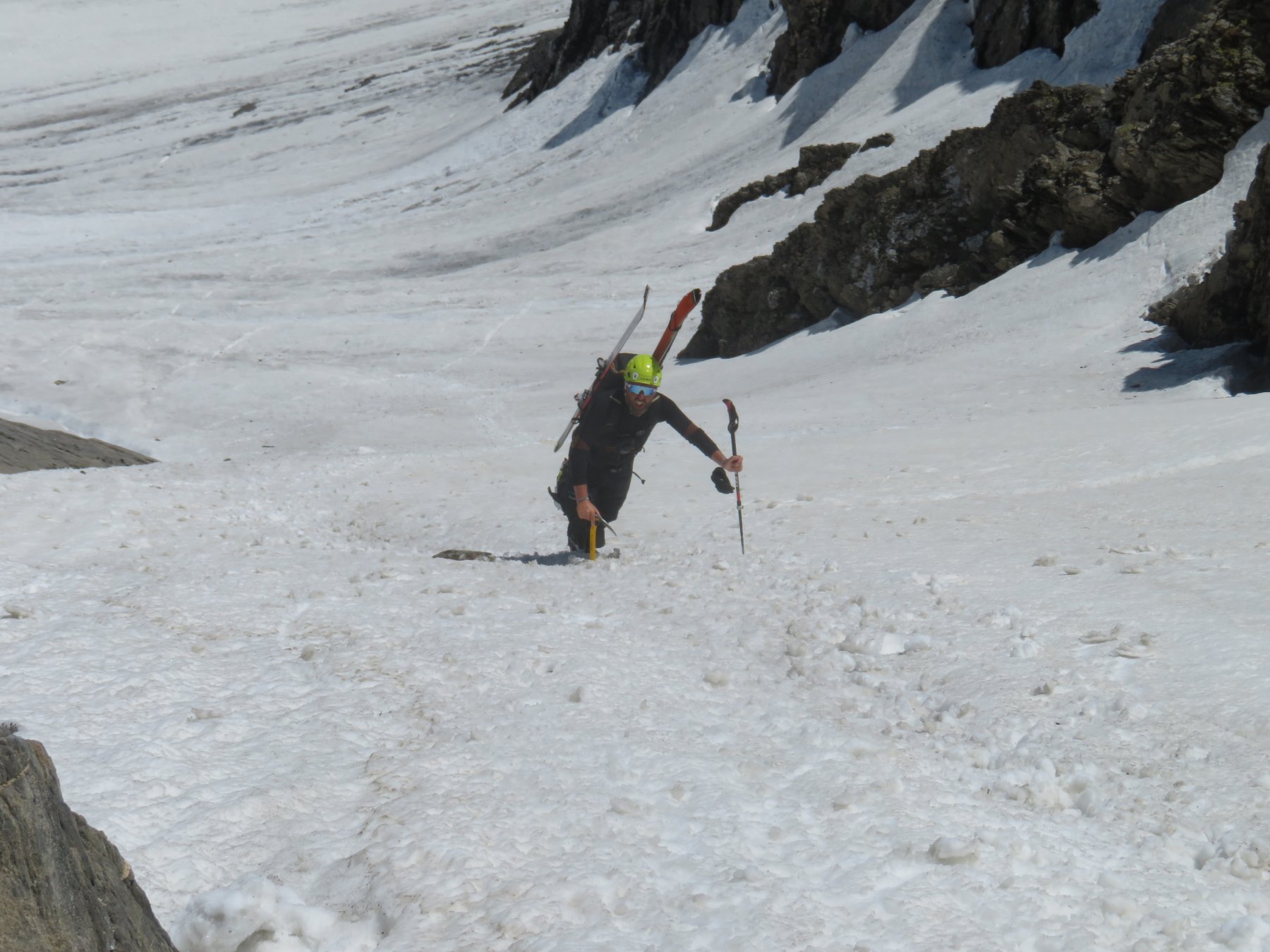
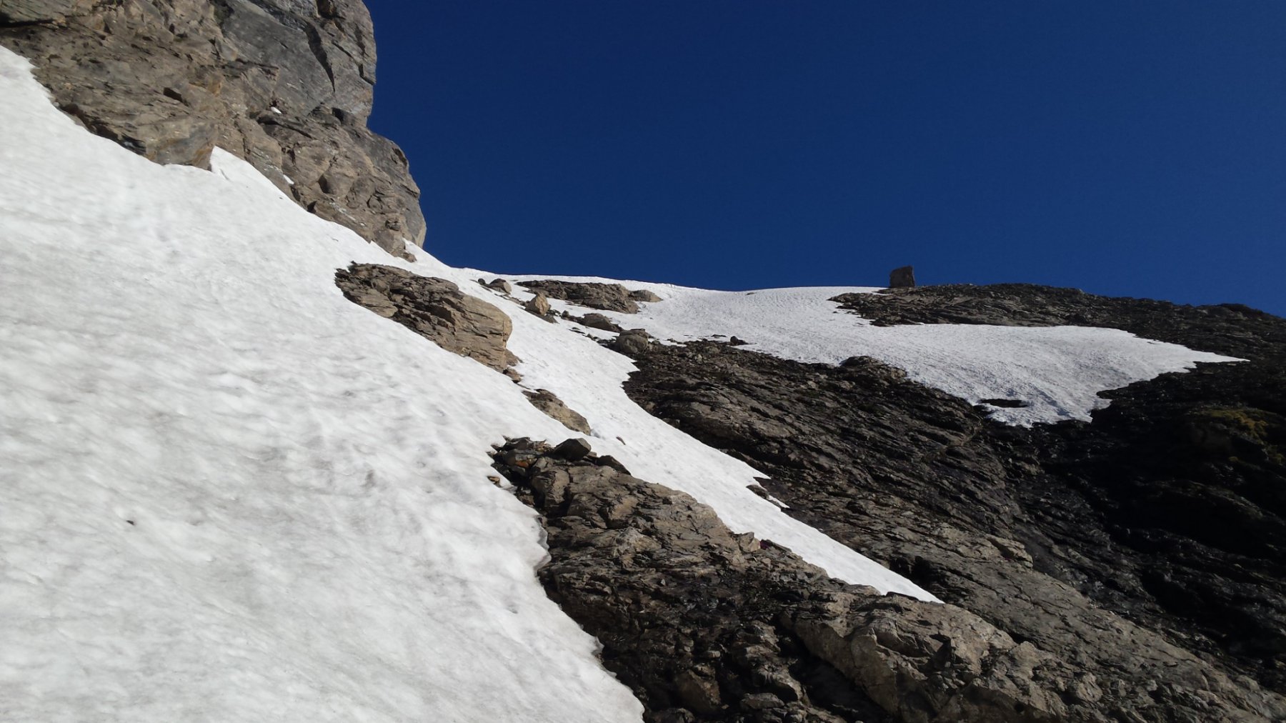
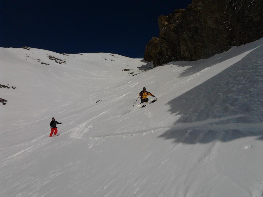
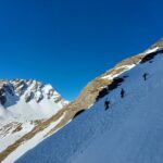
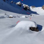
Ramponi e casco sono utili.
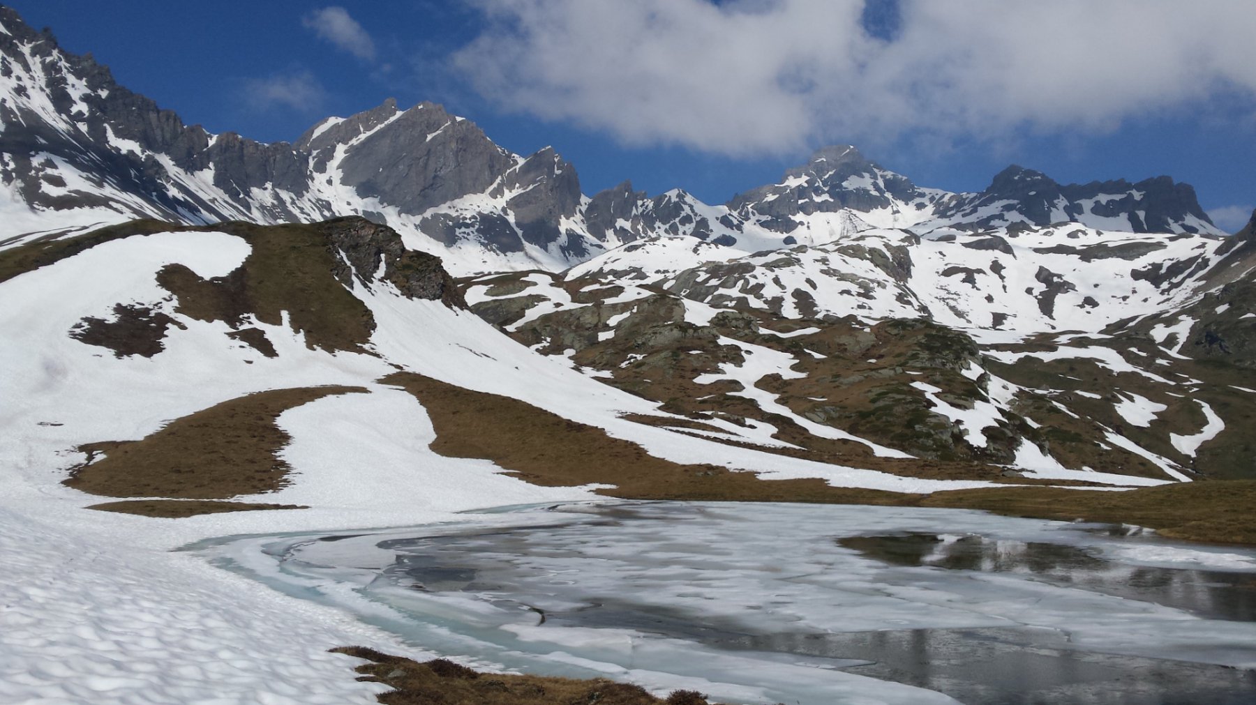
Avvicinamento
In inverno, essendo chiusa la strada del colle del Piccolo San Bernardo, si parte dalla località Pont Serrand. In questo caso il dislivello sale a 1370 m.
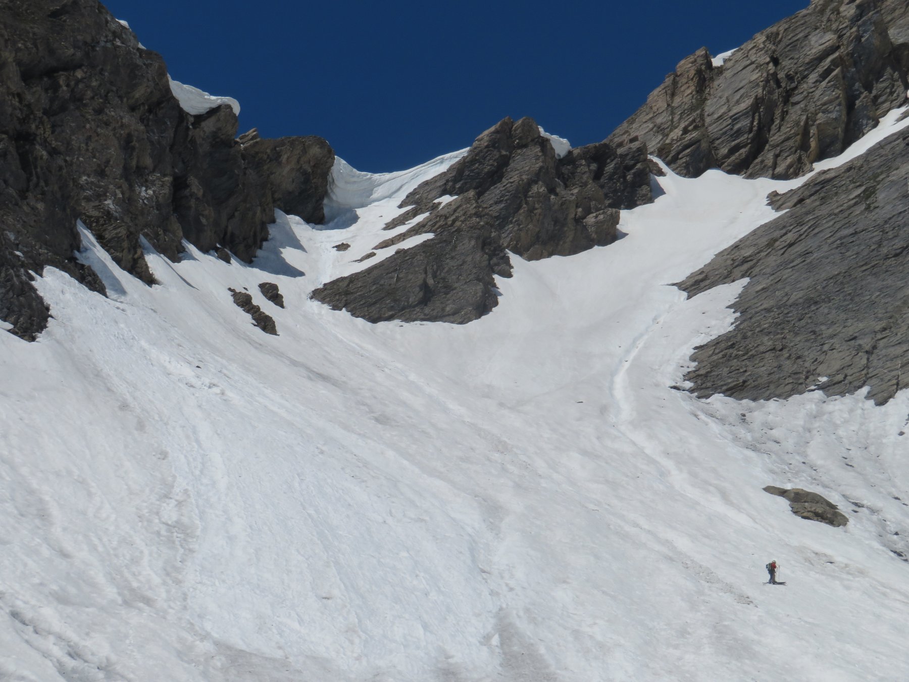
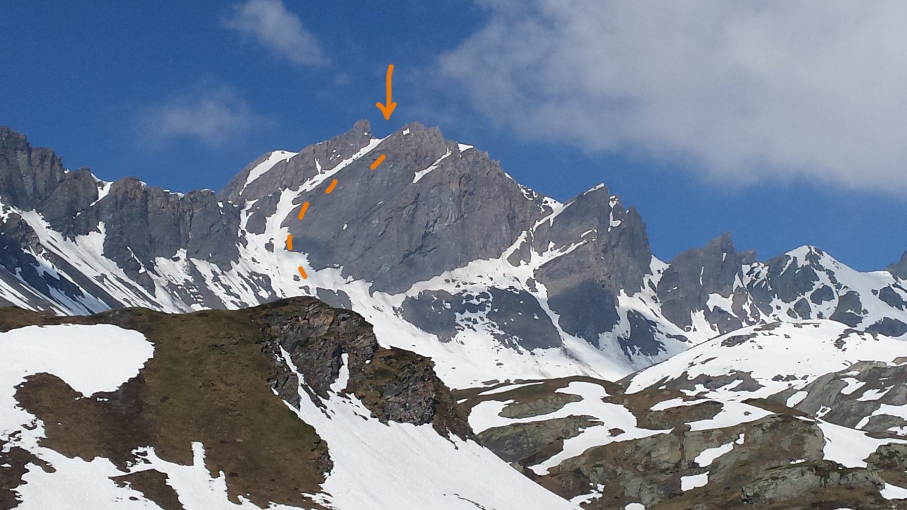
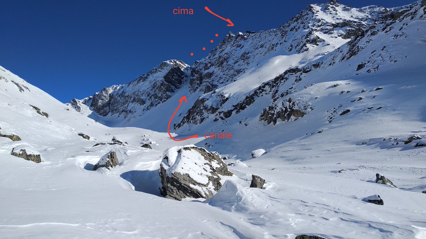
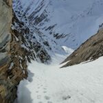
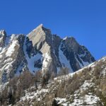
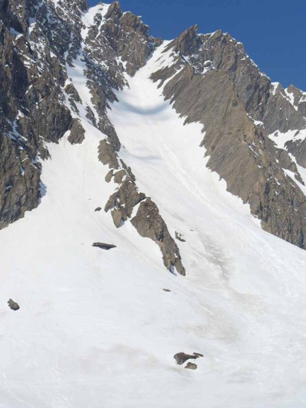
Descrizione
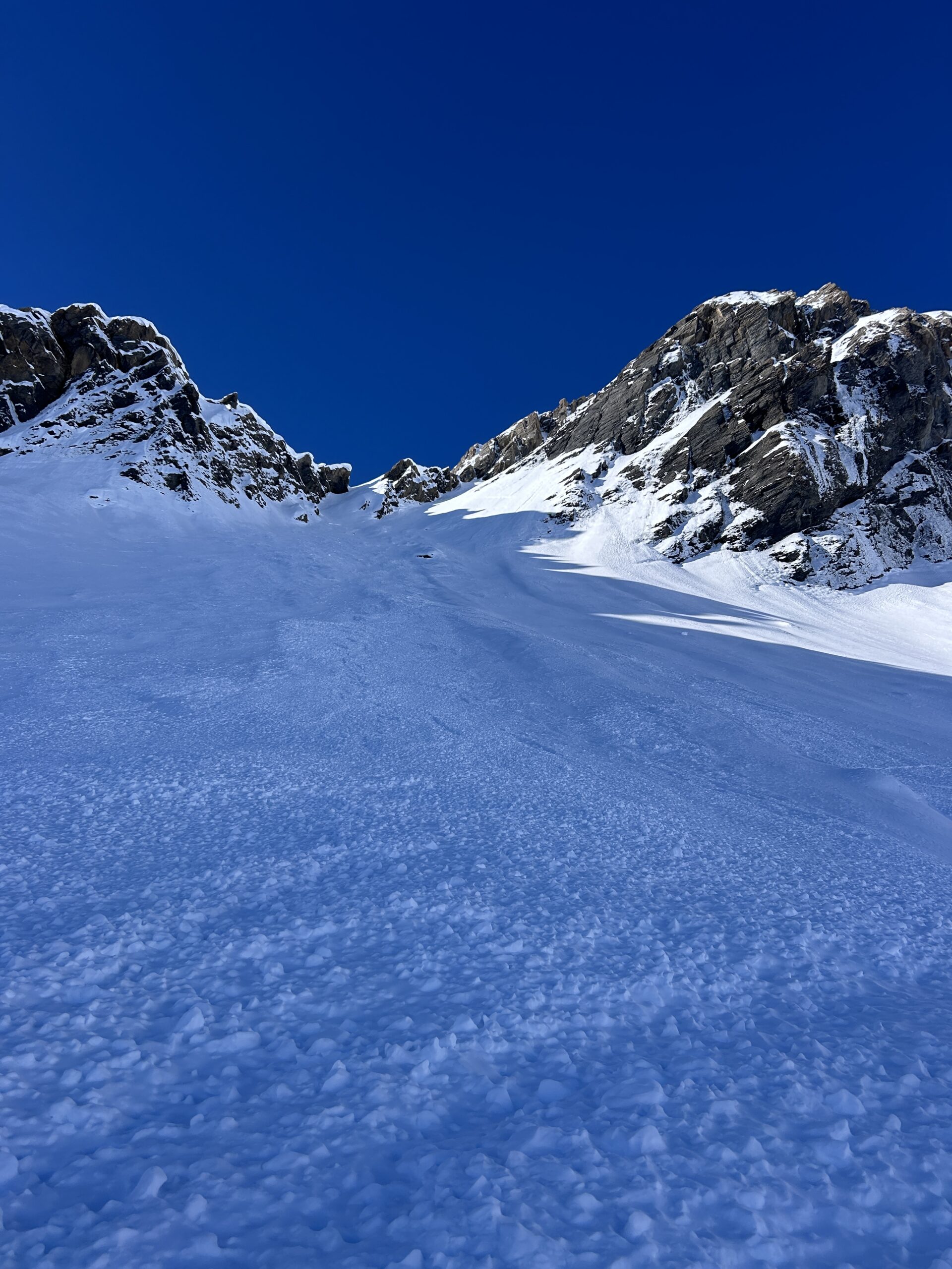
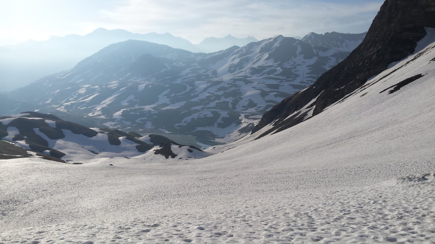
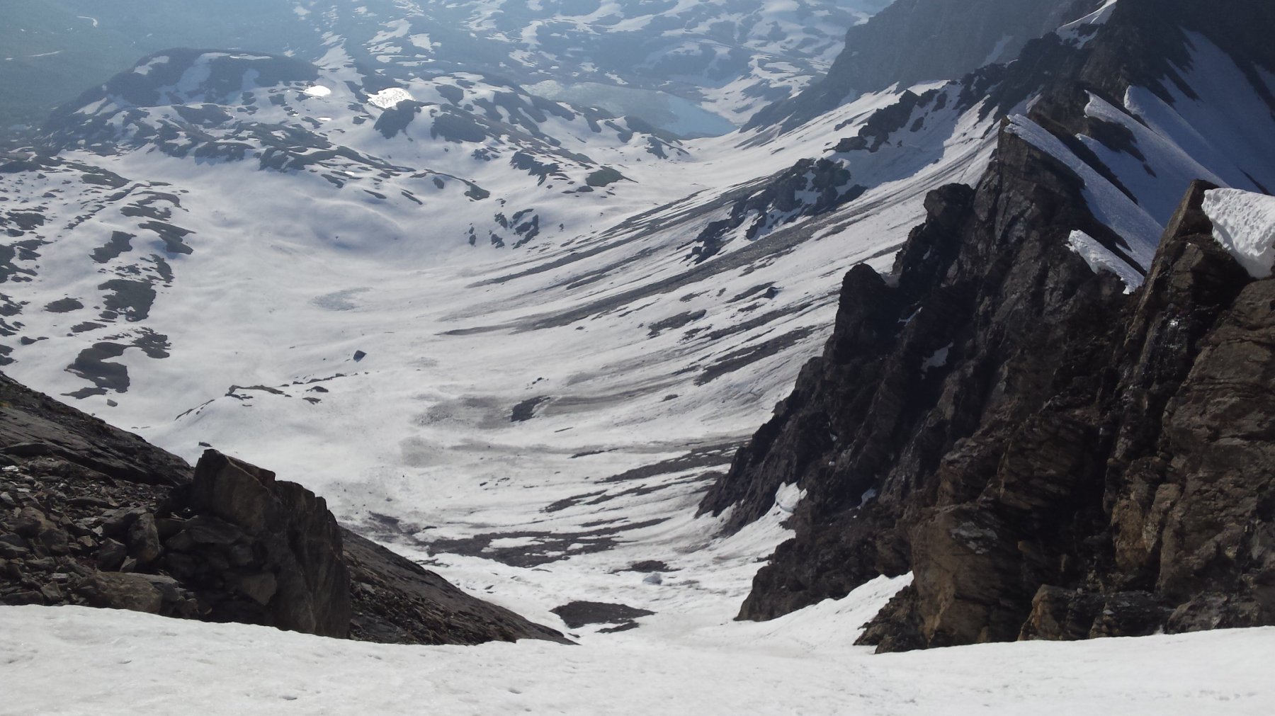
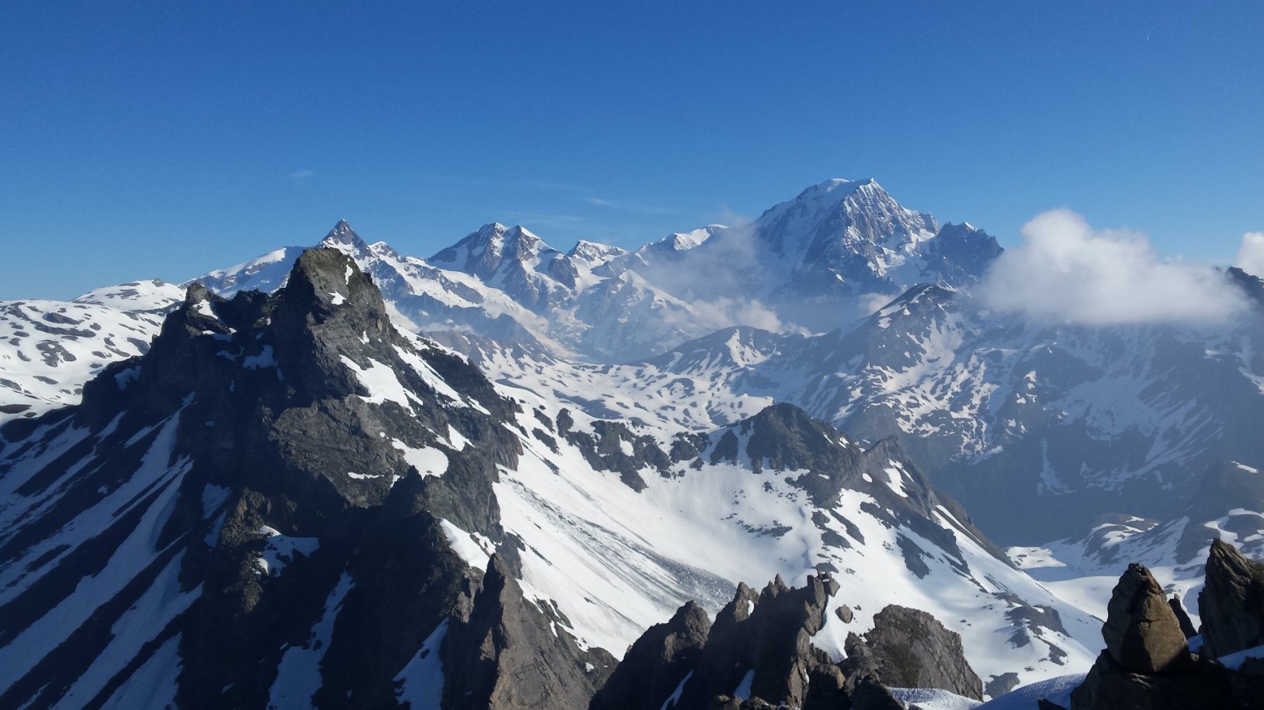
La cima ed il canale sono ben visibili sin dal parcheggio nei pressi del lago Verney. Il tratto finale del canale percorre una valletta sospesa meno esposta di quanto non si possa immaginare da sotto.
Lasciata l’auto, in base all’innevamento, si raggiunge l’imbocco del canale dirigendosi verso l’Aiguille de l’Hermite e la Punta Tormotta.
Nelle vicinanze Mappa
Itinerari
01/05/2026 AO, La Thuile D+ 1916 m 4.1, E1 Varie
Percé (Mont) anello canali sud e nord-ovest
 5.1Km
5.1Km
19/03/2026 AO, La Thuile D+ 1650 m II, 4.1, E1 Sud-Est
Berrio Blanc (Mont) Versante SE
 5.3Km
5.3Km
04/05/2008 AO, Pré-Saint-Didier D+ 1500 m 4.2, E2 Sud-Est
Berrio Blanc (Mont) colle 3150 m Canale Est
 6.5Km
6.5Km
16/02/2025 AO, La Thuile D+ 1105 m II, 4.1, E1 Sud-Ovest
Belleface (Mont, punta sud) Canale SO
 7.1Km
7.1Km
18/01/2020 AO, La Thuile D+ 1540 m III, 4.1, E2 Ovest
Lussè (Mont) Canale Ovest
 7.7Km
7.7Km
15/12/2025 AO, La Thuile D+ 1430 m II, 3.3, E1 Varie
Vieux (Tete de) cresta Tete de l’Ane quota 2747 m Canale del Buco da La Balme
 9.2Km
9.2Km
22/01/2022 AO, La Thuile D+ 1538 m II, 4.3, E2 Nord-Est
Belleface (Mont, punta sud) Canale NE
 9.2Km
9.2Km
03/04/2026 AO, Pré-Saint-Didier D+ 1676 m III, 5.1, E3 Nord-Est
Vieux (Tete de) Canale centrale
 9.6Km
9.6Km
04/06/2008 AO, Pré-Saint-Didier D+ 1600 m 4.2, E3 Nord
Vieux (Tete de) Canale dx – Couloir delle Placche
 9.6Km
9.6Km
13/12/2025 AO, Pré-Saint-Didier D+ 1500 m II, 4.1, E2 Varie
Ane (Tête de l’) da Elevaz
 10.2Km