2.6Km
2.6Km
Descrizione
 50m
1.1Km
1.1Km
1.3Km
3.2Km
4Km
4.1Km
4.2Km
4.7Km
5.4Km
50m
1.1Km
1.1Km
1.3Km
3.2Km
4Km
4.1Km
4.2Km
4.7Km
5.4Km
2.6Km
3.2Km
3.9Km
4.6Km
4.7Km
4.8Km
4.9Km
5.7Km
5.8Km
9.1Km
Da Saint Pierre si segue la strada asfaltata per Saint Nicolas.
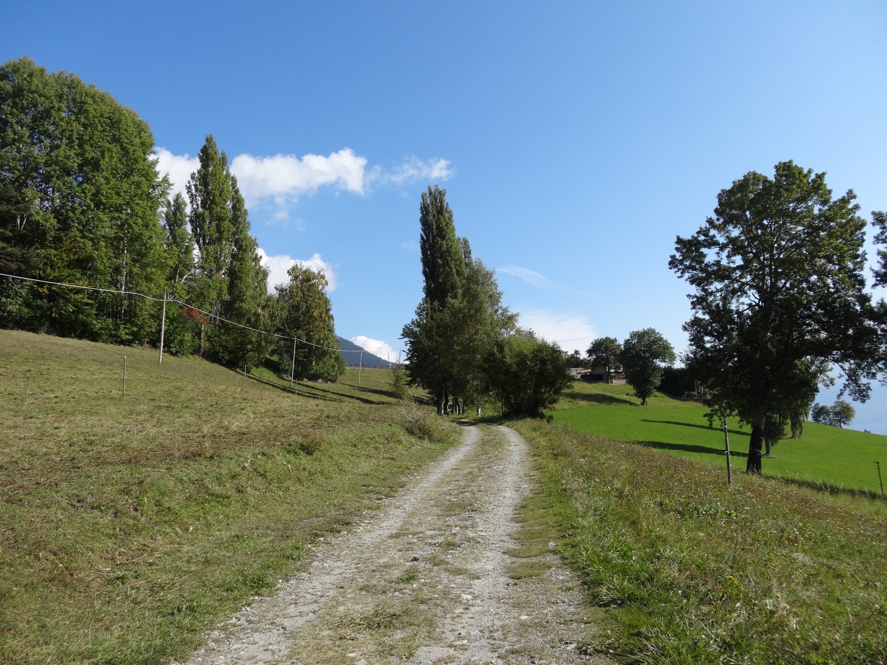
Dopo il capoluogo si prosegue sulla strada asfaltata verso Vetan, e dopo aver superato la Frazione di Chaillod (1230mt) si svolta a sinistra per una strada in salita che dopo pochi metri diventa asfaltata.
Si segue la poderale in salita per la strada principale, tralasciando prima la deviazione a sinistra e poi a destra e in breve arrivando alla frazione di Grand Sarriod. Si sale per la strada asfaltata e al secondo tornante si prende la sterrata che in leggera salita porta al torrente Gaboe.
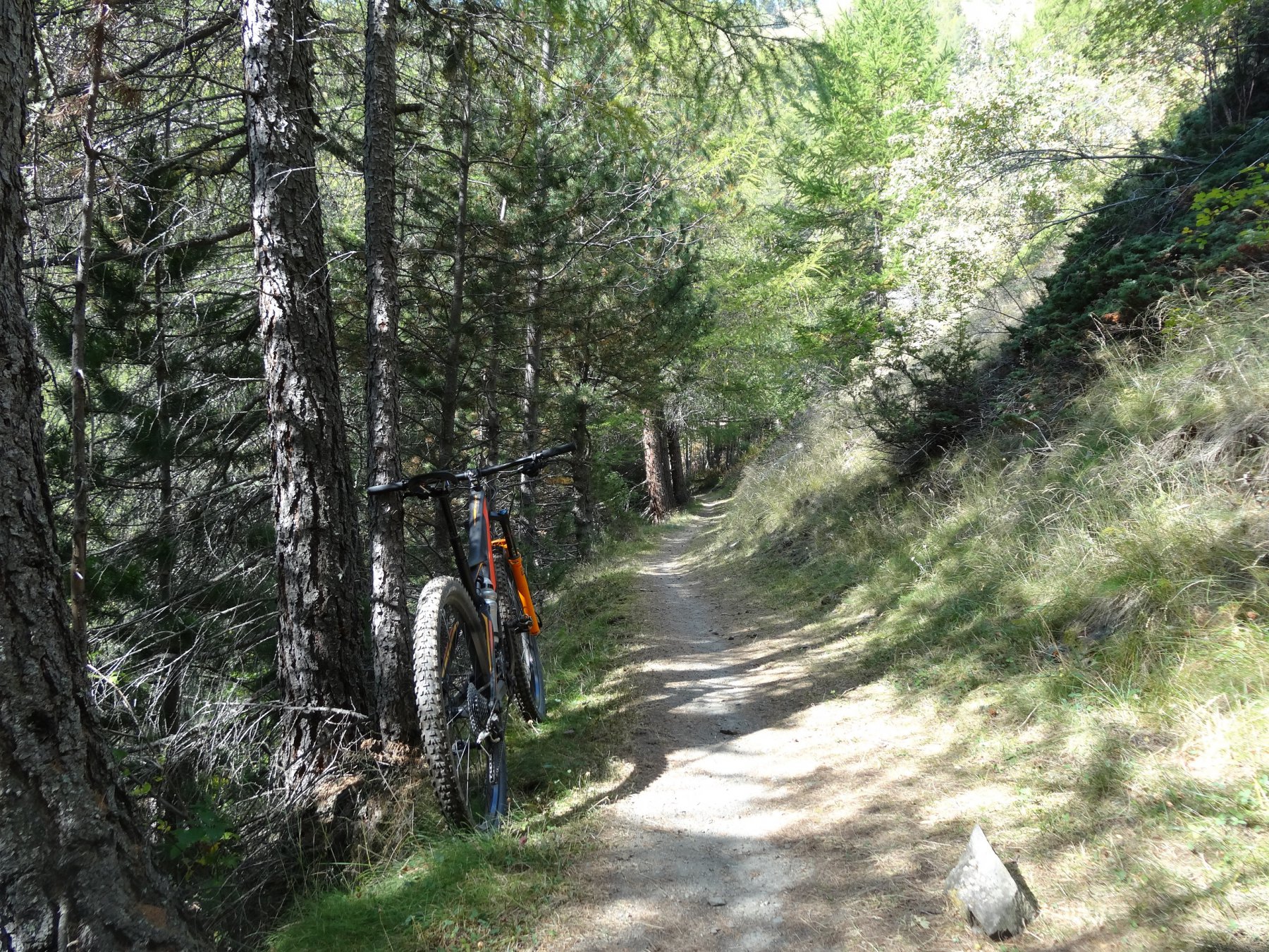
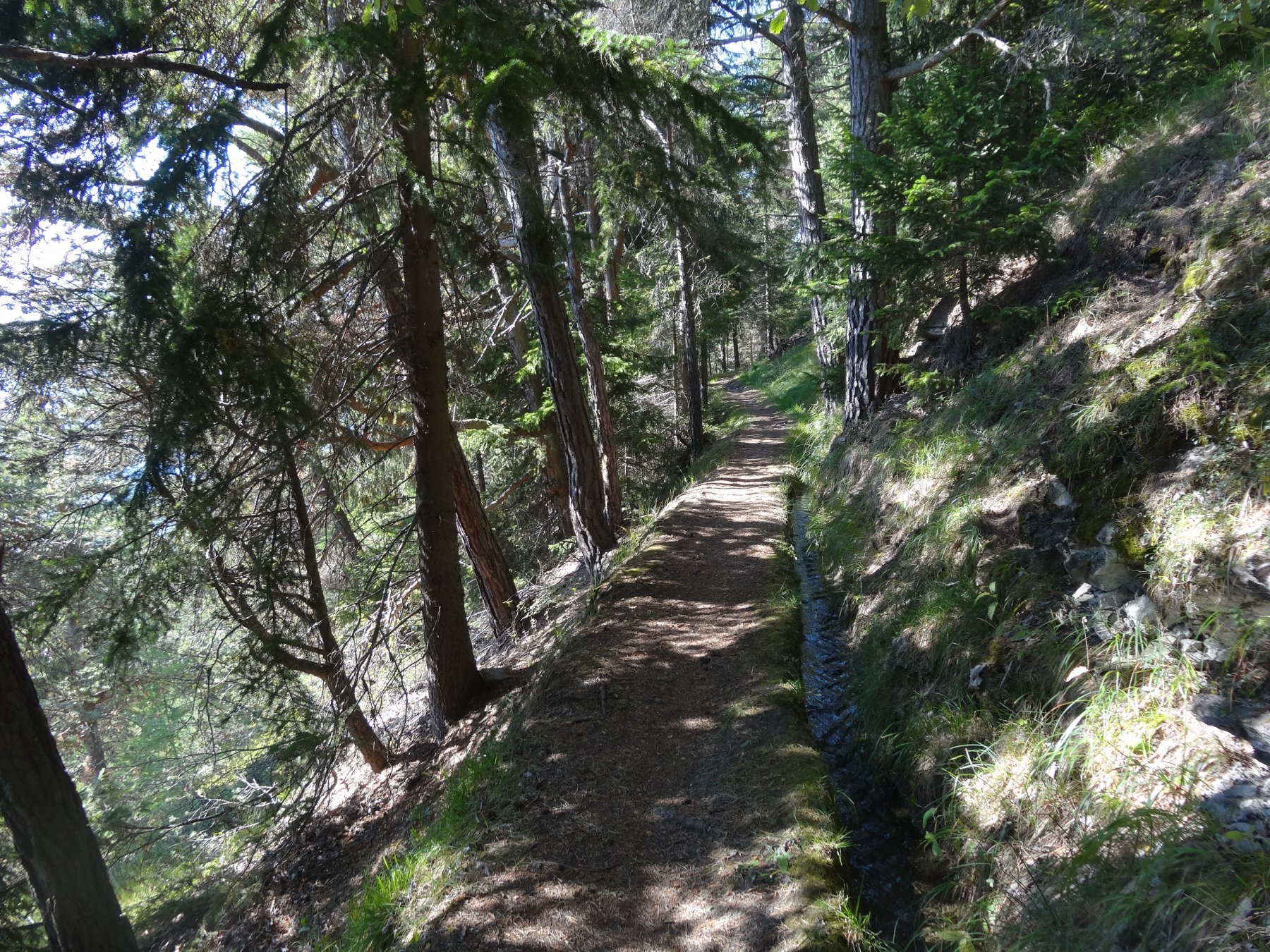
Si attraversa il torrente e si segue il sentiero 26 che lungo il Ru Clavel in direzione della frazione di Cerlogne. Si arriva ad una strada asfaltata che si segue in salita fino a Vens. Si prosegue per la strada che porta al col du Mont Joux fino al primo tornante, dove si prosegue per la strada sterrata.
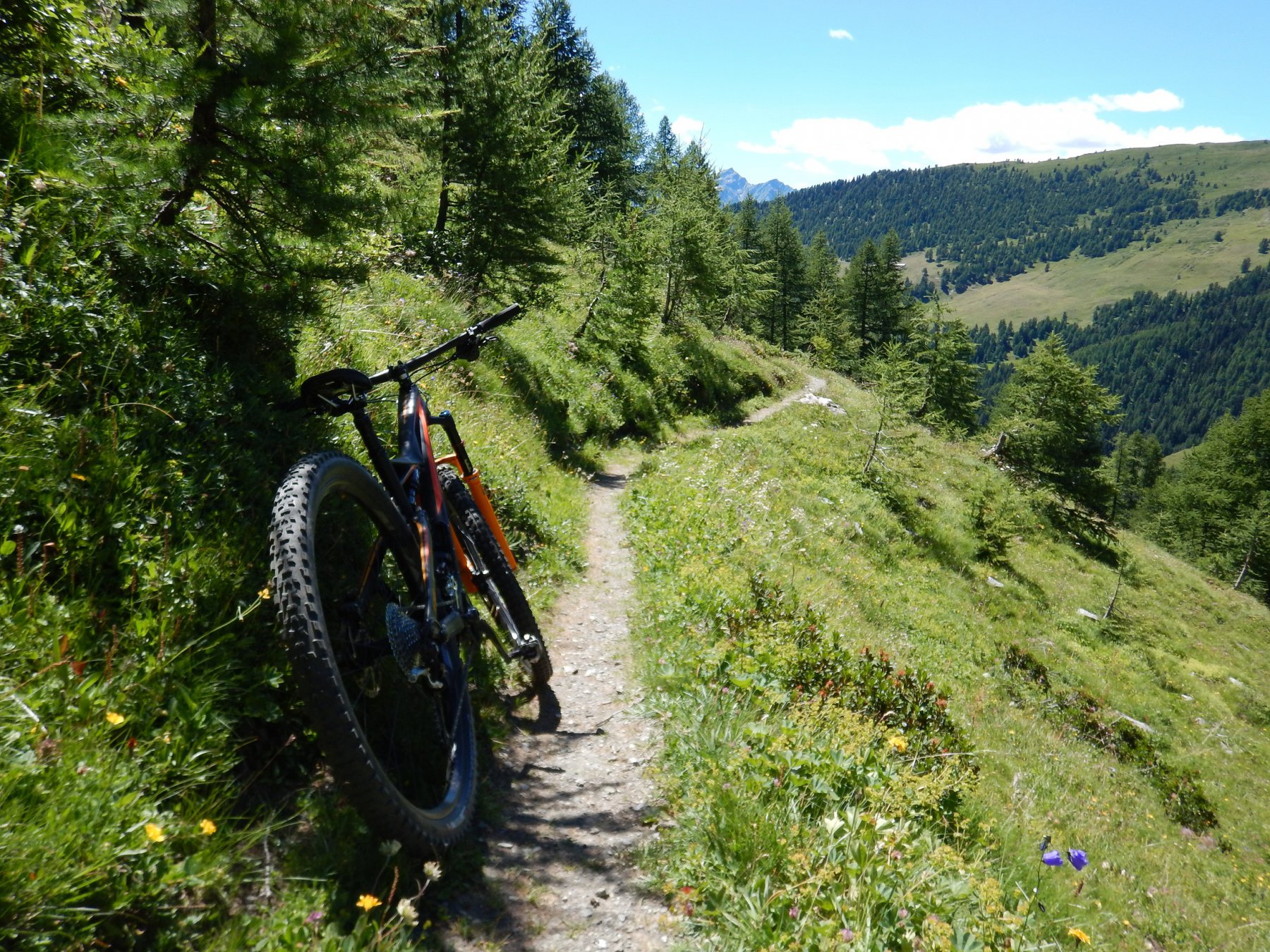
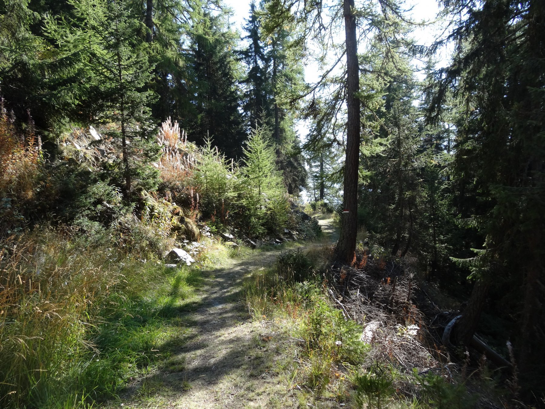
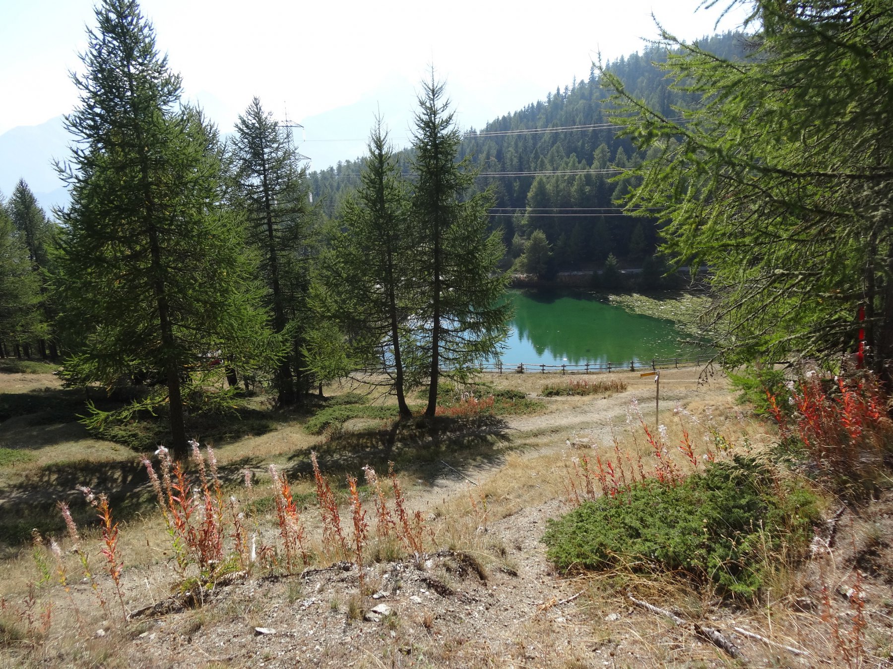
Dopo poco si incrocia il sentiero 17 a sinistra che , salendo leggermente a mezza costa, ci porta al colle a 1930 m dove c’è un laghetto.
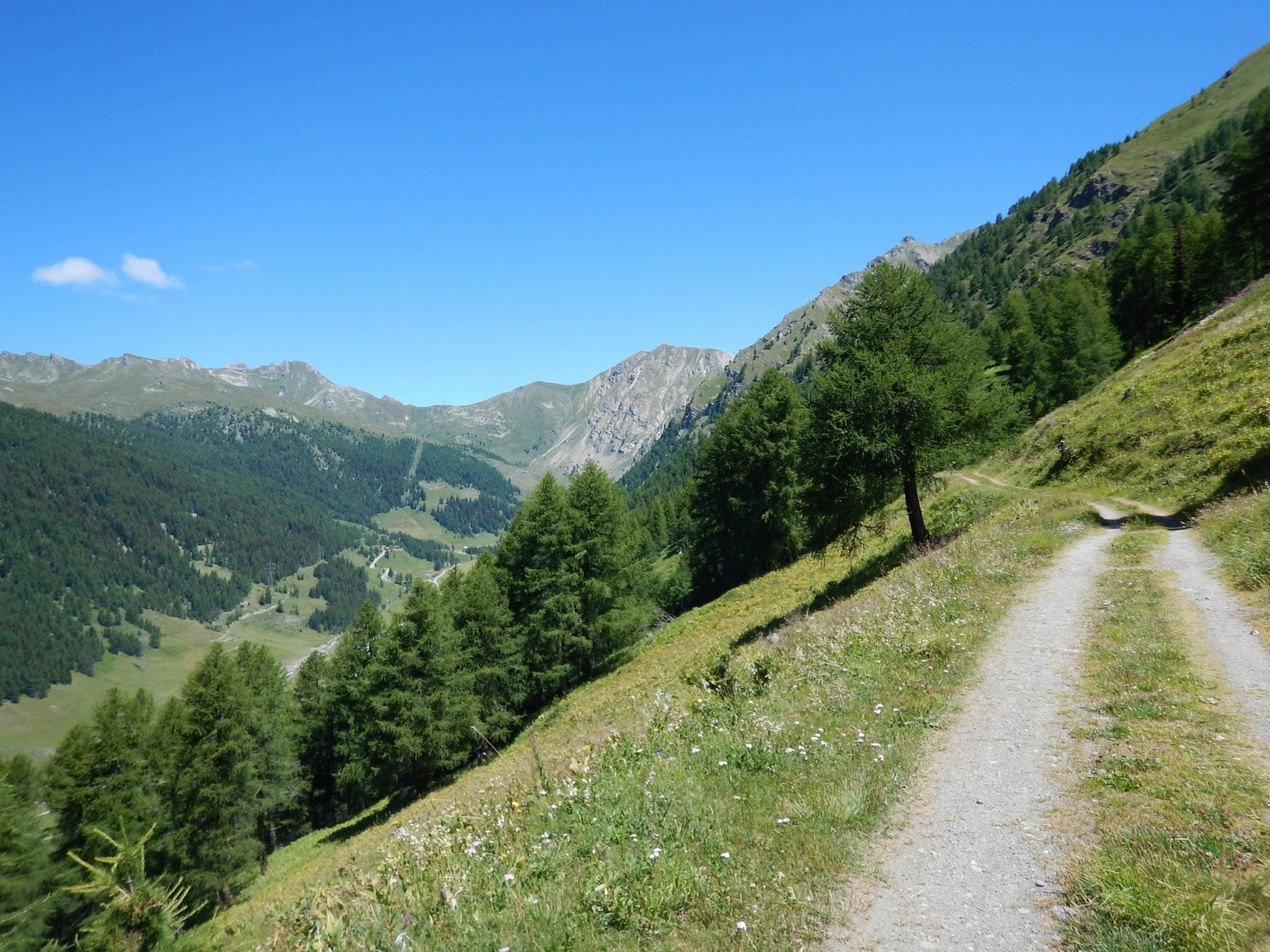
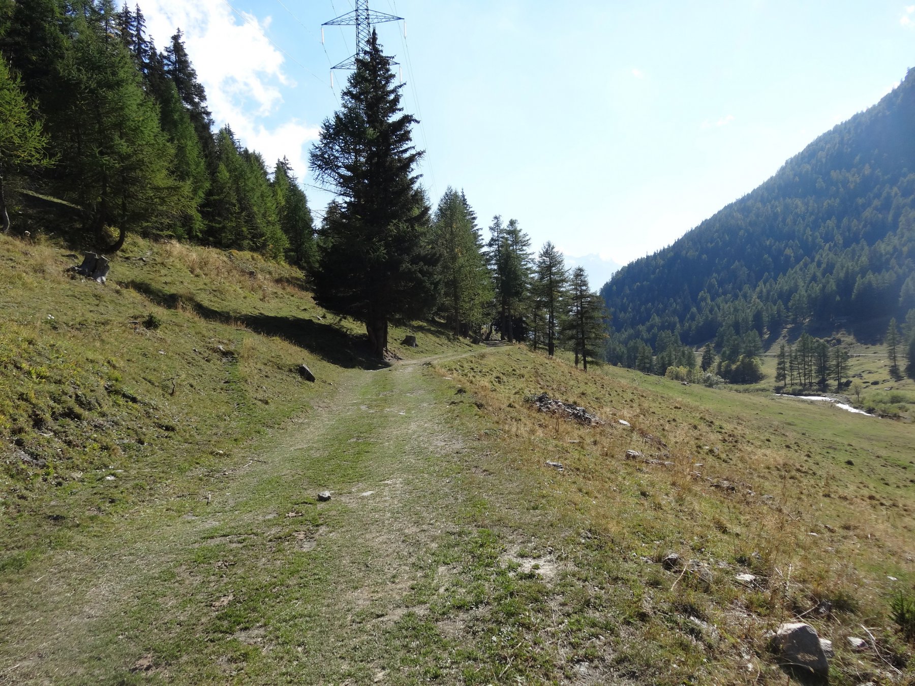
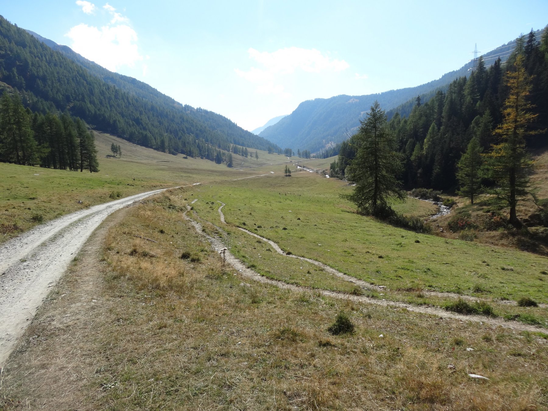
Si prende la poderale in discesa che porta nel vallone di Vertosan.
Agevolmente si può arrivare alla frazione di Jovencan, dove nel periodo estivo è aperto un ristorante.
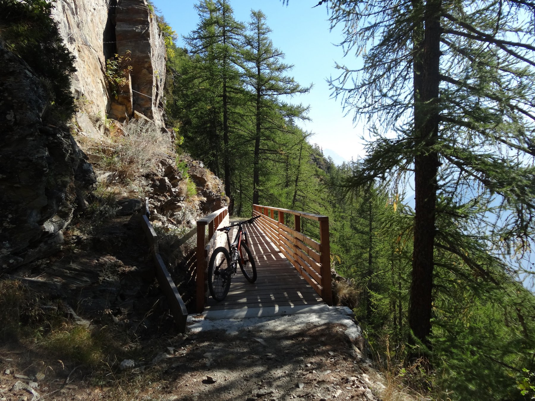
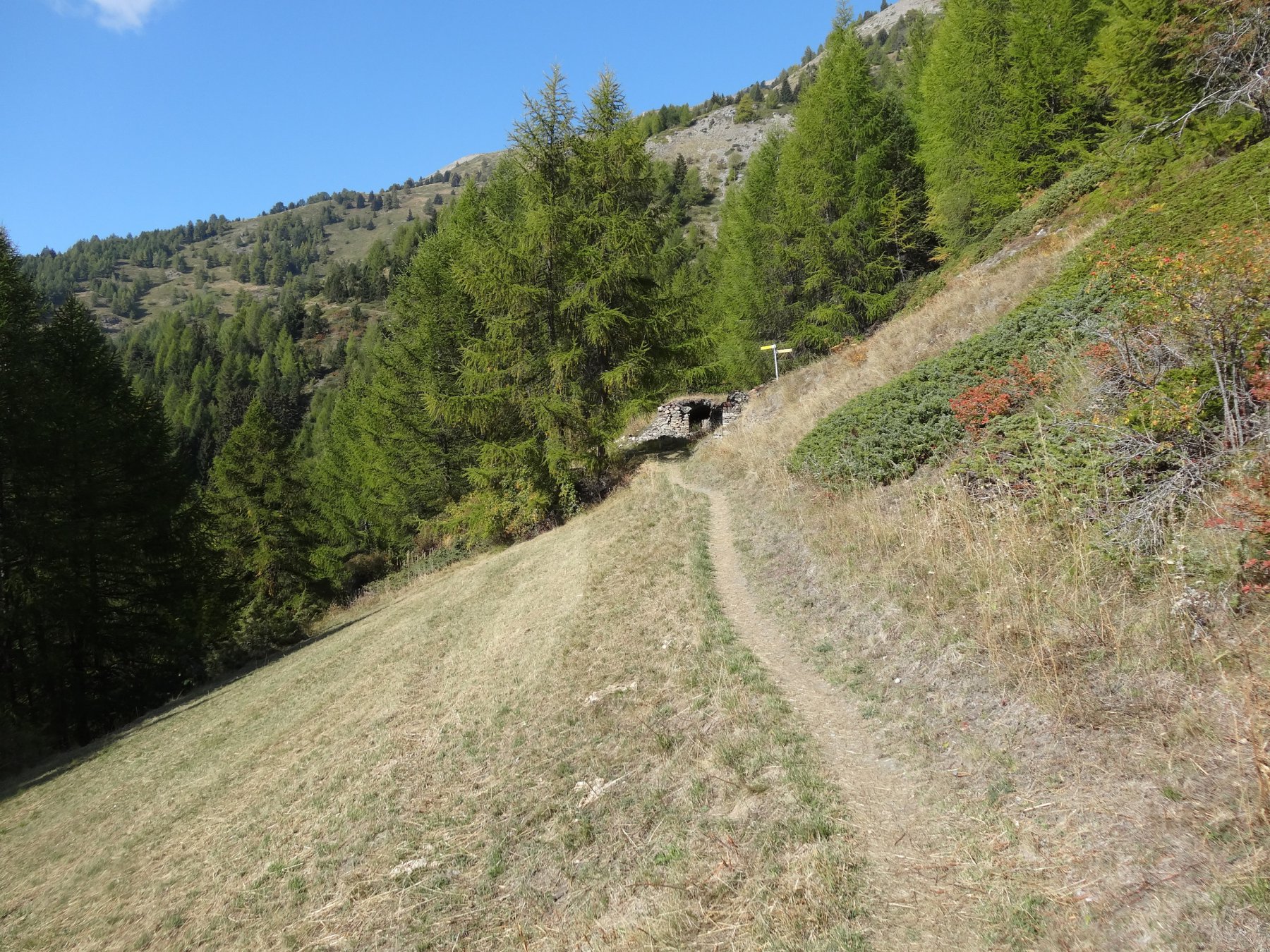
Si scende fino all’inizio della risalita della strada scesa in precedenza, dove c’è un incrocio e un ponte e si segue il sentiero 30, (poco visibile, si imbocca prima del ponte) che prima in piano lungo i pascoli e poi in leggera discesa( con alcuni punti molto esposti) porta fino a Vens.
Si attraversa la frazione è appena prima del parcheggio si segue il sentiero 18 verso Cerlogne.
Si attraversa la frazione scendendo a sinistra in mezzo alle case e poi nuovamente a sinistra seguendo il sentiero 26, poi 27, che attraversando alcune volte la strada, e seguendola in qualche tratto, arriva a Fossaz.
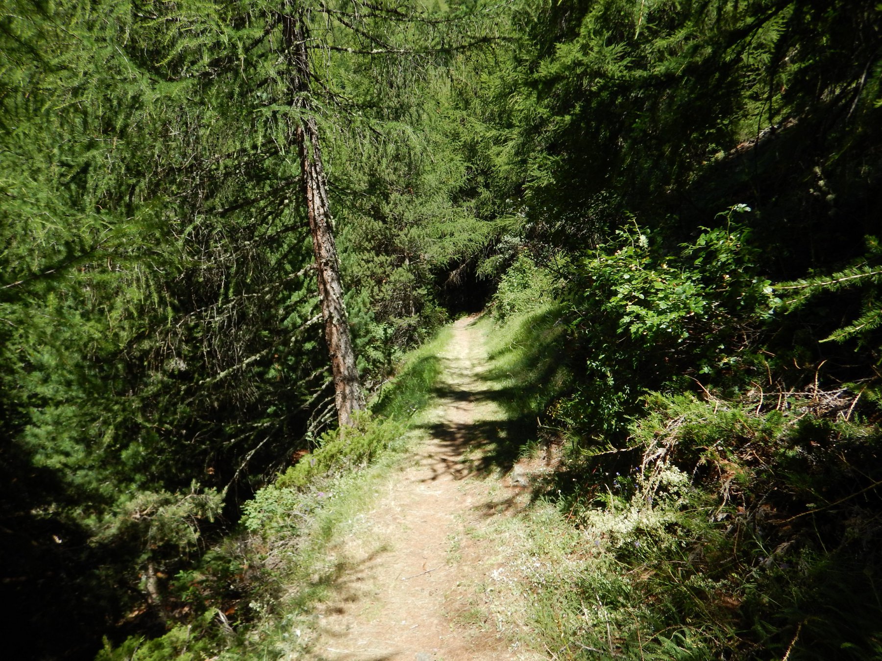
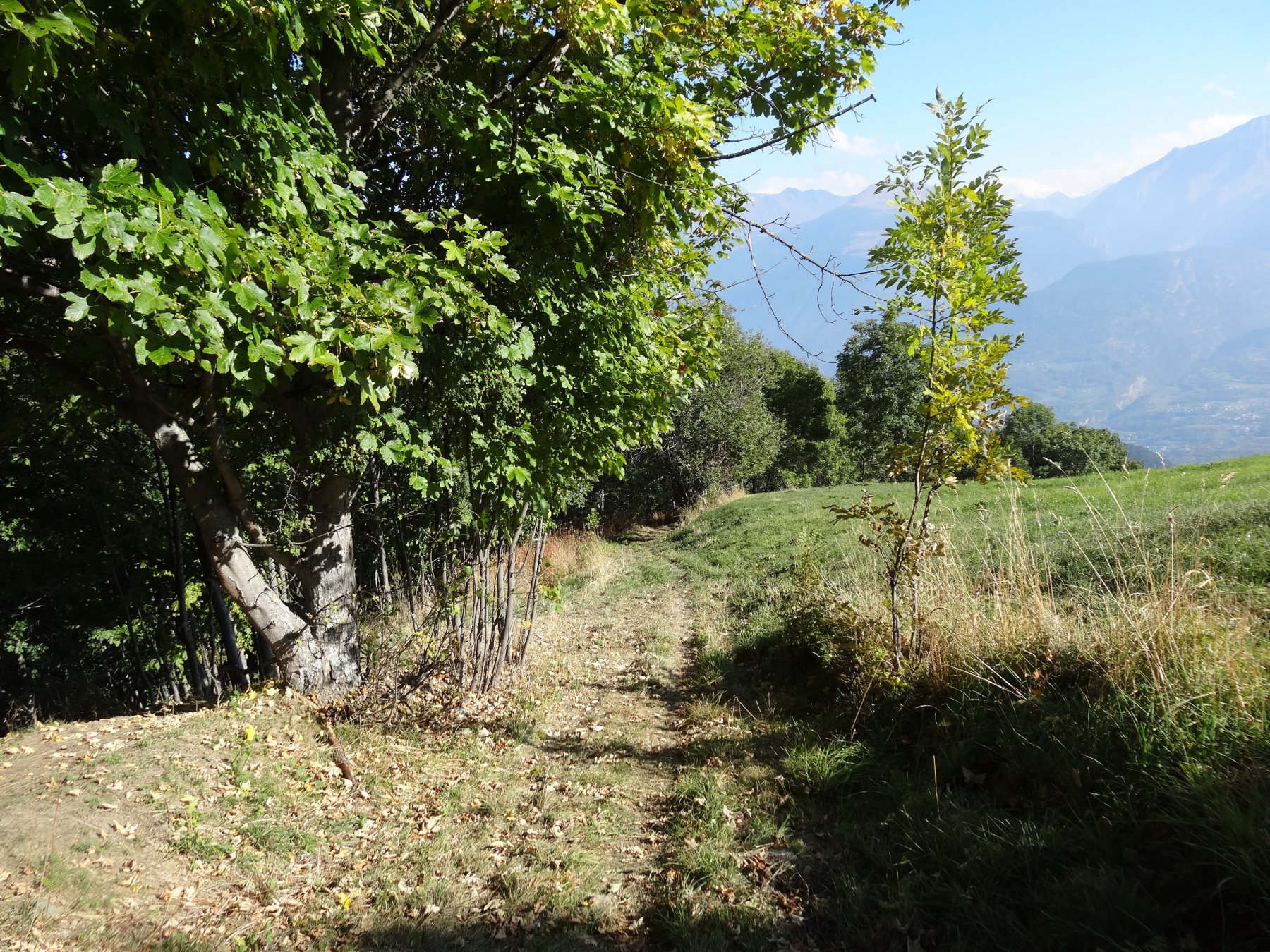
Appena dopo il campo di calcetto/tennis si prende la sterrata inerbita a sinistra che scende. La sterrata diventa poi sentiero e arriva fino alla frazione di Lyveroulaz.
Si attraversa la frazione e, subito dopo il ponte, si scende a destra per sentiero fino ad incrociare una strada sterrata. La si segue a sinistra per arrivare ad una strada asfaltata (già visibile ad inizio sentiero).
Si scende per la strada, passando la frazione di Cumiod e si arriva alla frazione di Montovert.
Appena dopo le case si prende a destra un sentiero, in direzione frazione Le Cretes, e si arriva sulla strada statale 26. Da lì in breve si arriva a Saint Pierre.
- Cartografia:
- Carta dei sentieri 4 Conca di Aosta L'escursionista editore
- Bibliografia:
- Mountain bike in Valle d Aosta percorsi 46 e 48
Nelle vicinanze Mappa
Itinerari
06/09/2025 AO, Saint-Pierre D+ 1700 m MC+, BC, S2 Sud
Mont Fallère (Rifugio) da Saint Pierre, giro per Thouraz e Bellun
 50m
50m
29/06/2024 AO, Villeneuve D+ 1100 m MC, BC Nord
Poignon (Mont) da Villeneuve, giro per Petit Poignon e Pont d’Ael
 1.1Km
1.1Km
06/06/2026 AO, Villeneuve D+ 1300 m MC, BC, S1 Est
Bry (Plan) da Villeneuve
 1.1Km
1.1Km
23/08/2020 AO, Villeneuve D+ 1700 m MC, BC, S2 Nord-Ovest
Benevolo Gian Federico (Rifugio) da Villeneuve per la Val di Rhemes
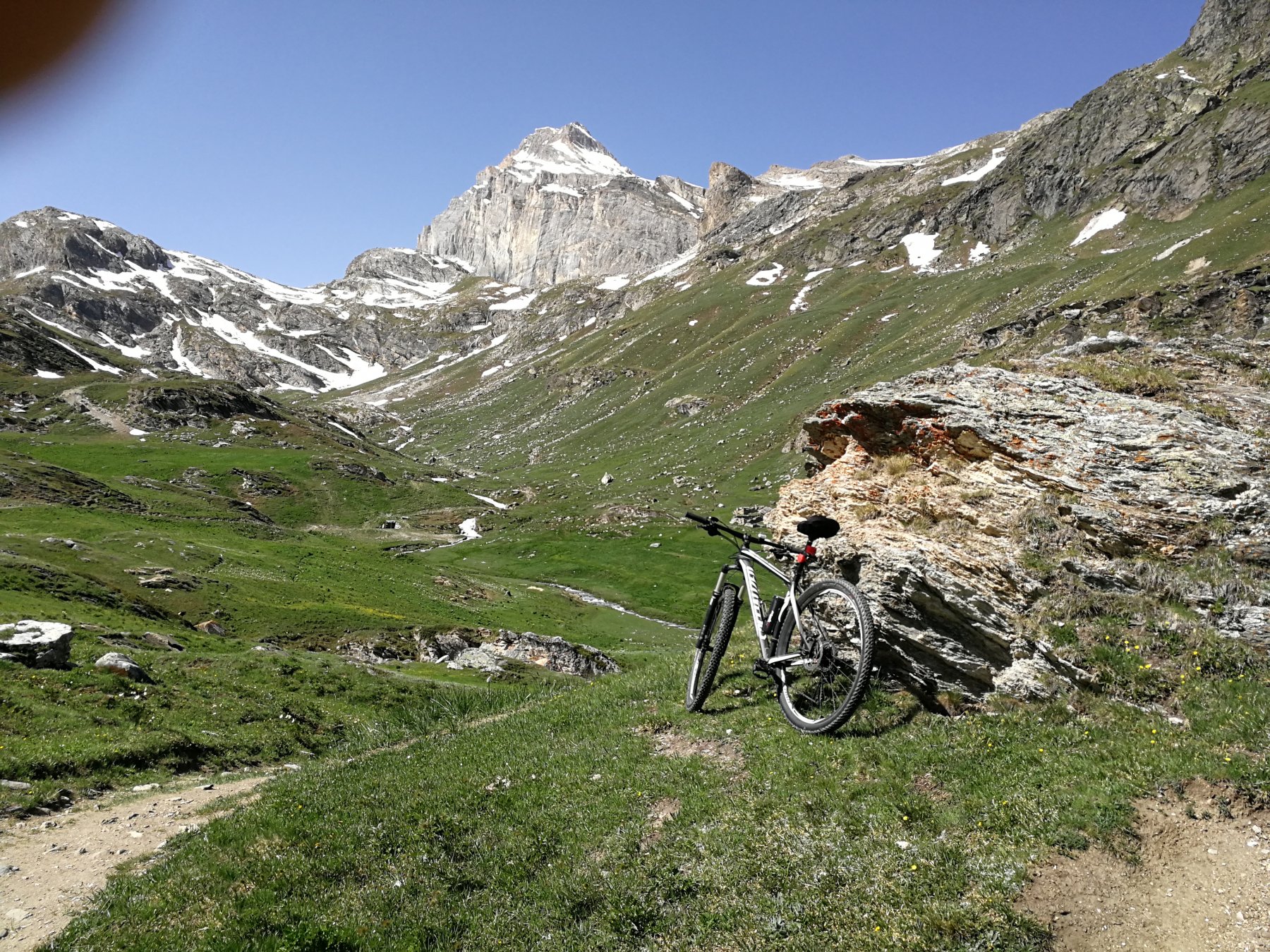 1.3Km
1.3Km
19/09/2024 AO, Aymavilles D+ 830 m TC, BC, S1 Nord-Ovest
Turlin (Frazione) da Aymavilles
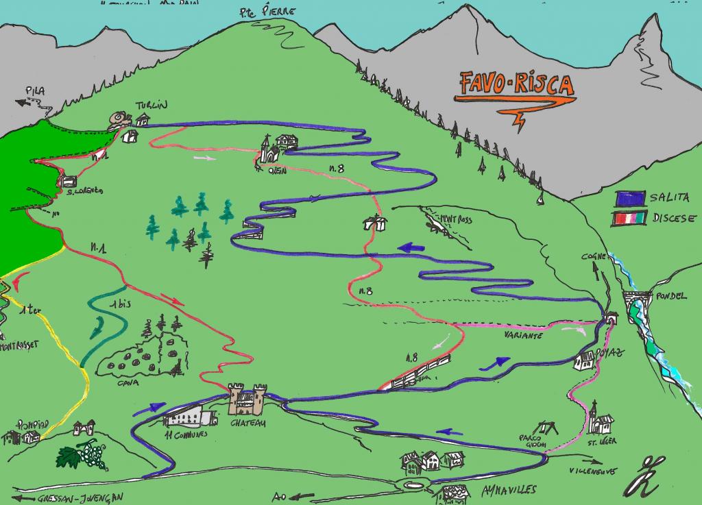 3.2Km
3.2Km
15/08/2019 AO, Aymavilles D+ 850 m MC, TC Nord-Ovest
La Pierre (Alpeggio) da Ozein
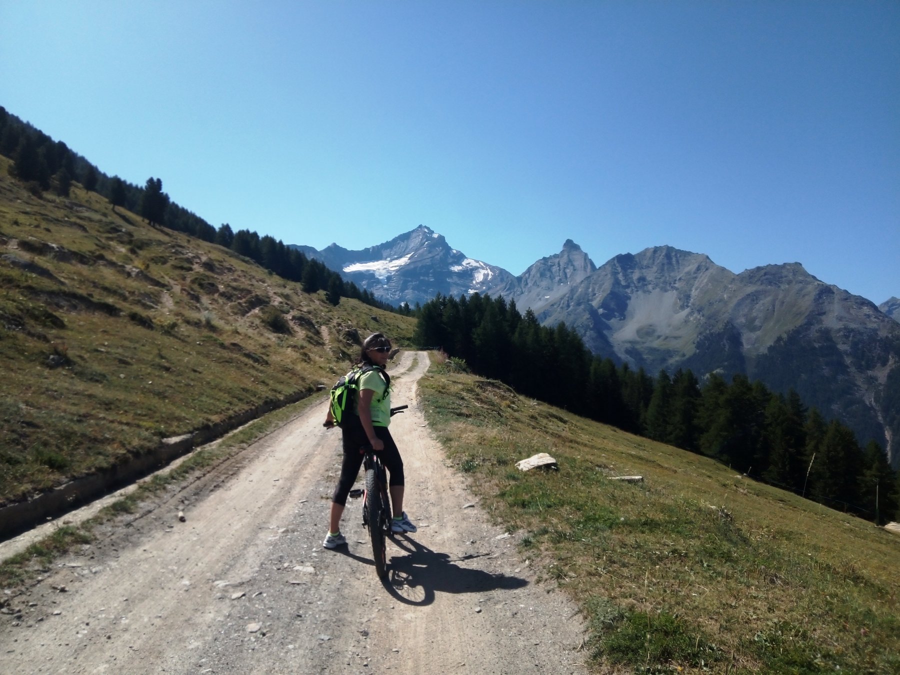 4Km
4Km
17/08/2021 AO, Saint-Nicolas D+ 2000 m BC, BC, S2 Tutte
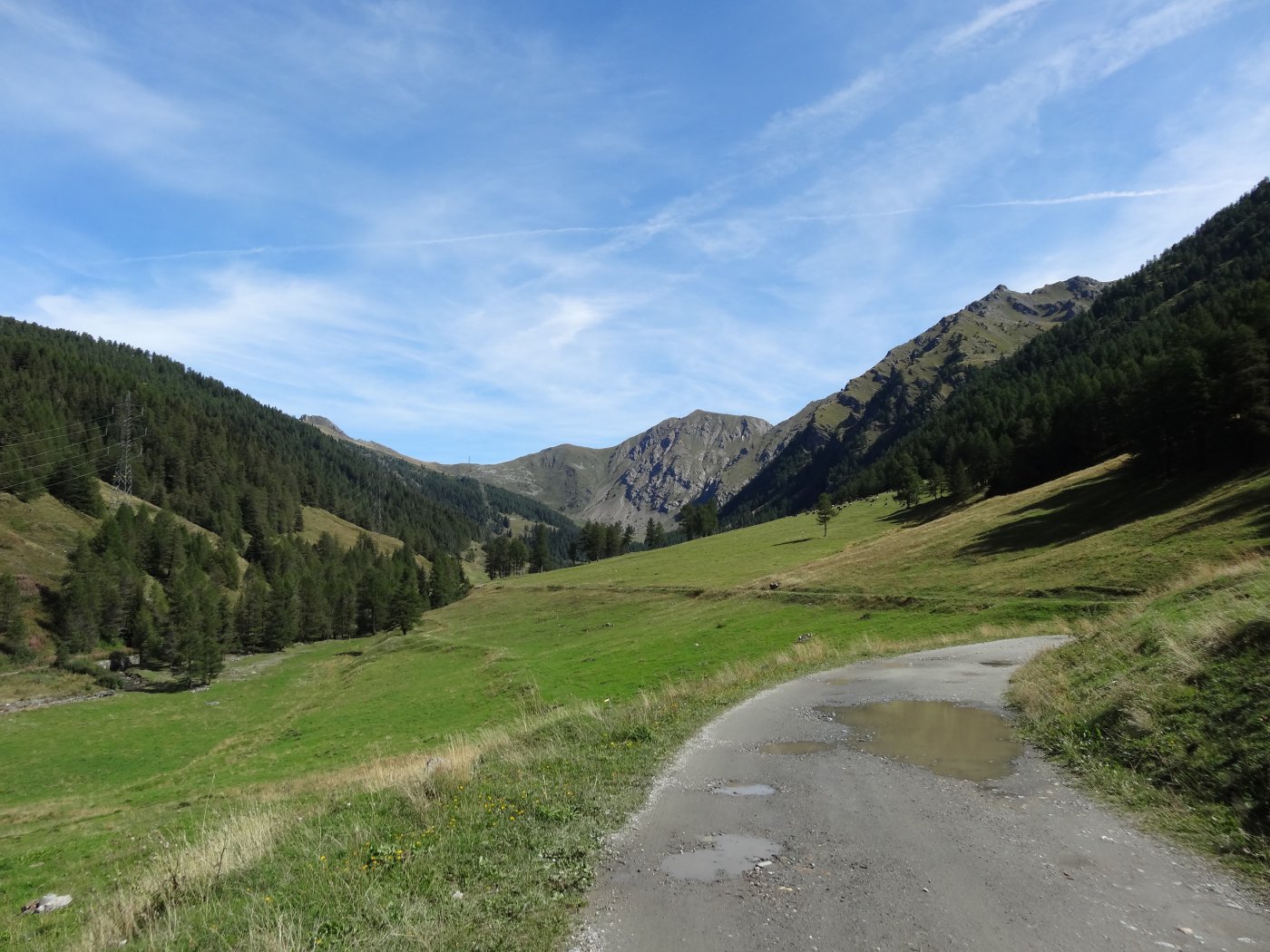
Citrin (Col) da Vetan, giro del Mont Fallére per il Rifugio Chaligne
 4.1Km
4.1Km
09/07/2025 AO, Introd D+ 1200 m MC+, BC+, S2 Tutte
Mont Blanc (Col di) da Introd, giro
 4.2Km
4.2Km
02/08/2014 AO, Sarre D+ 250 m TC, TC, S0 Sud
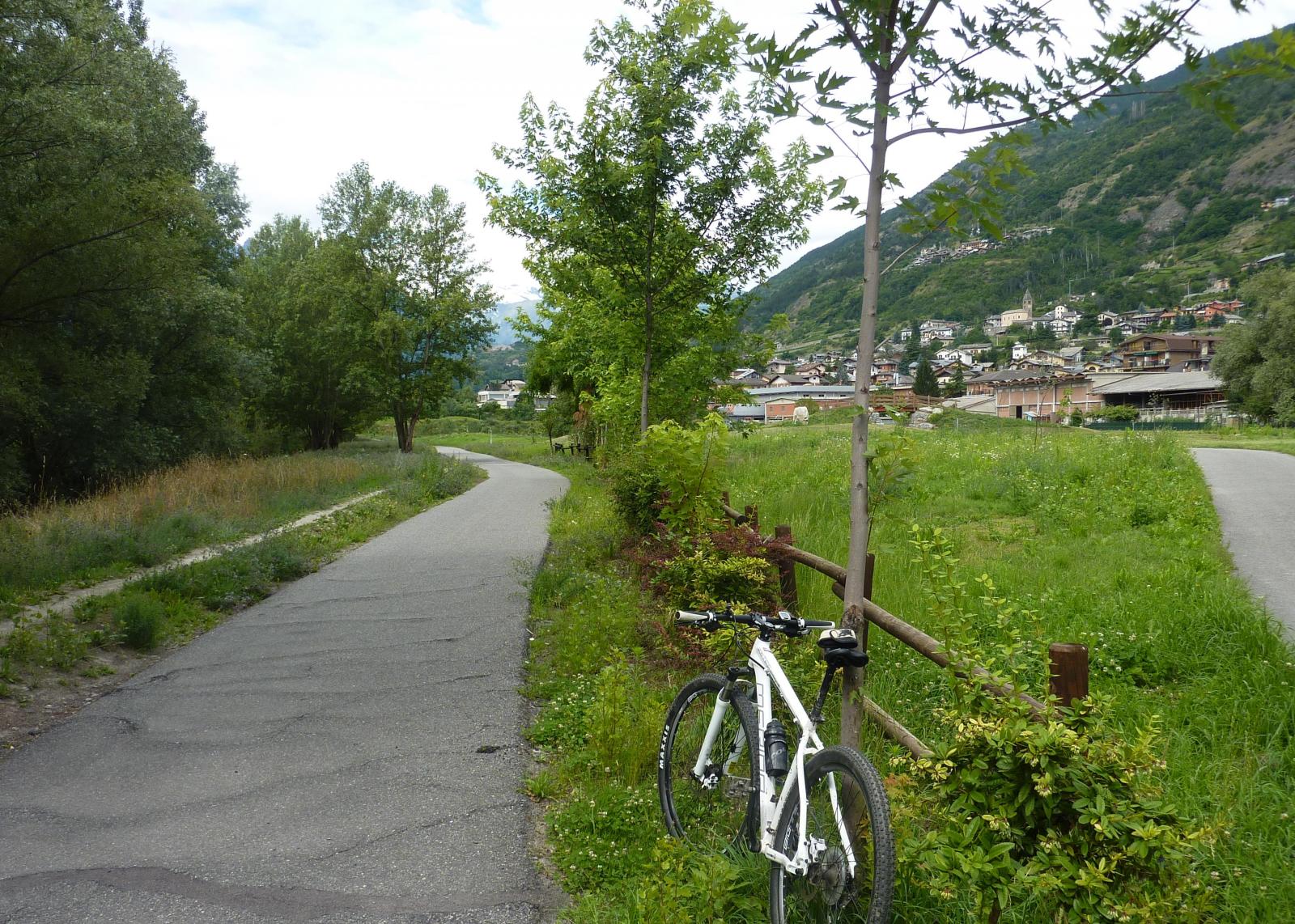
Ussel (Castello di) da Sarre
 4.7Km
4.7Km
30/05/2026 AO, Sarre D+ 1400 m MC, BC, S2 Sud
France (Becca) da Ville sur Sarre, giro
 5.4Km
5.4Km
Servizi
2.6Km
3.2Km
La pineta Rifugio
Aymavilles
3.9Km
Carillon Bar
Aymavilles
4.6Km
Notre Maison Albergo
Saint Pierre
4.7Km
Vetan Ristorante
Saint-Pierre
4.8Km
Chez Marisa Ristorante
Sarre
4.9Km
Gran Paradiso B&B
Jovencan
5.7Km
Beau Sejour Albergo
Arvier
5.8Km
Atanor Ristorante
Arvier
9.1Km