7.8Km
7.8Km


Note
 50m
5.2Km
5.2Km
7.2Km
7.3Km
7.3Km
8.5Km
50m
5.2Km
5.2Km
7.2Km
7.3Km
7.3Km
8.5Km
Gita da fare a fine stagione per poter salire in alto sulla lunga strada (in parte sterrata) del Vallon des Ayes e de l'Orceyrette, per raggiungere gli Chalets de l'Orceyrette, al fine di evitare un lungo portage.
Nota. Il tratto di strada oltre la passerella che precede il Lac de l'Orceyrette a fine inverno ha un avviso di divieto.
Viene indicato un disl. di m. 1300 m prevedendo di salire alle due vette con discesa fino a quota 2.300 nel Vallone di Fond Froid.
Avvicinamento
Nota. Il tratto di strada oltre la passerella che precede il Lac de l'Orceyrette a fine inverno ha un avviso di divieto.
Viene indicato un disl. di m. 1300 m prevedendo di salire alle due vette con discesa fino a quota 2.300 nel Vallone di Fond Froid.
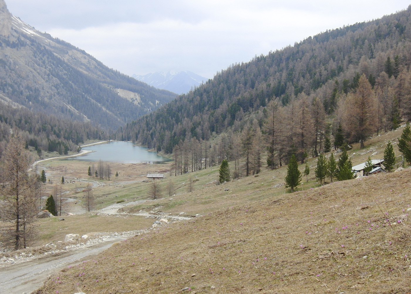
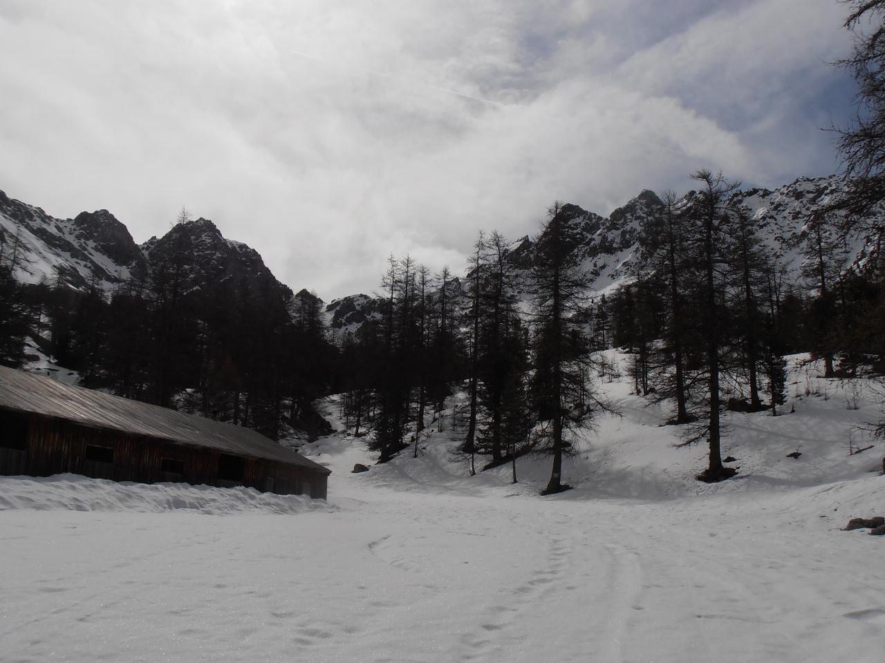
Briancon, Villard St-Pancrace, Chalets des Ayes, Lac de l'Orceyrette (la sterrata prosegue fino agli Chalets de l'Orceyrette ma c'è il divieto).
Il lago è raggiungibile in auto solo a fine stagione, in caso contrario la partenza può essere a les Ayes 1600 m circa.
Descrizione
Il lago è raggiungibile in auto solo a fine stagione, in caso contrario la partenza può essere a les Ayes 1600 m circa.
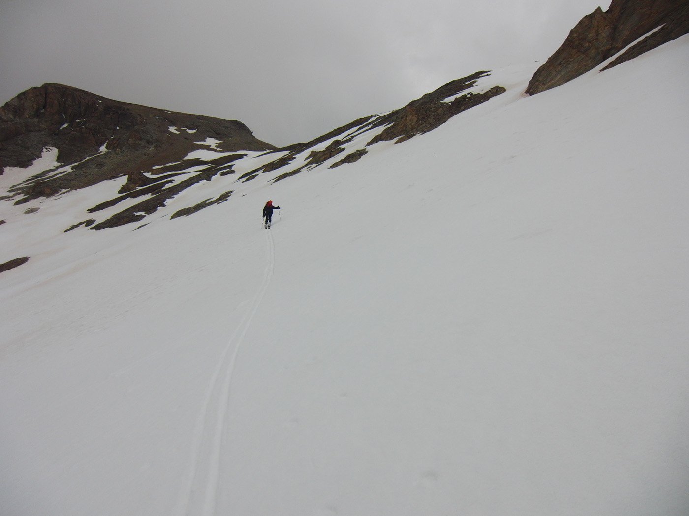
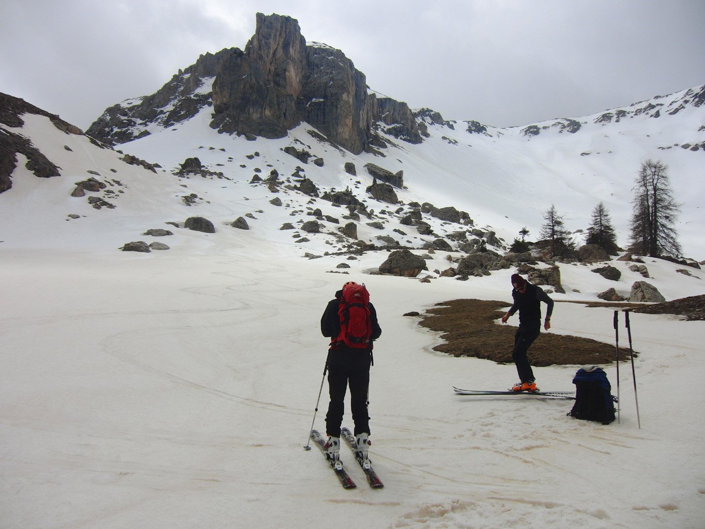
Dal lago si raggiungono gli chalets percorrendo la strada sul lato destro, una volta raggiunti gli chalets de l’Orceyrette non proseguire sulla sterrata ma in iniziare subito a salire il facile terreno verso gli Chalets de l’Orciére dove si incontra di nuovo la sterrata.
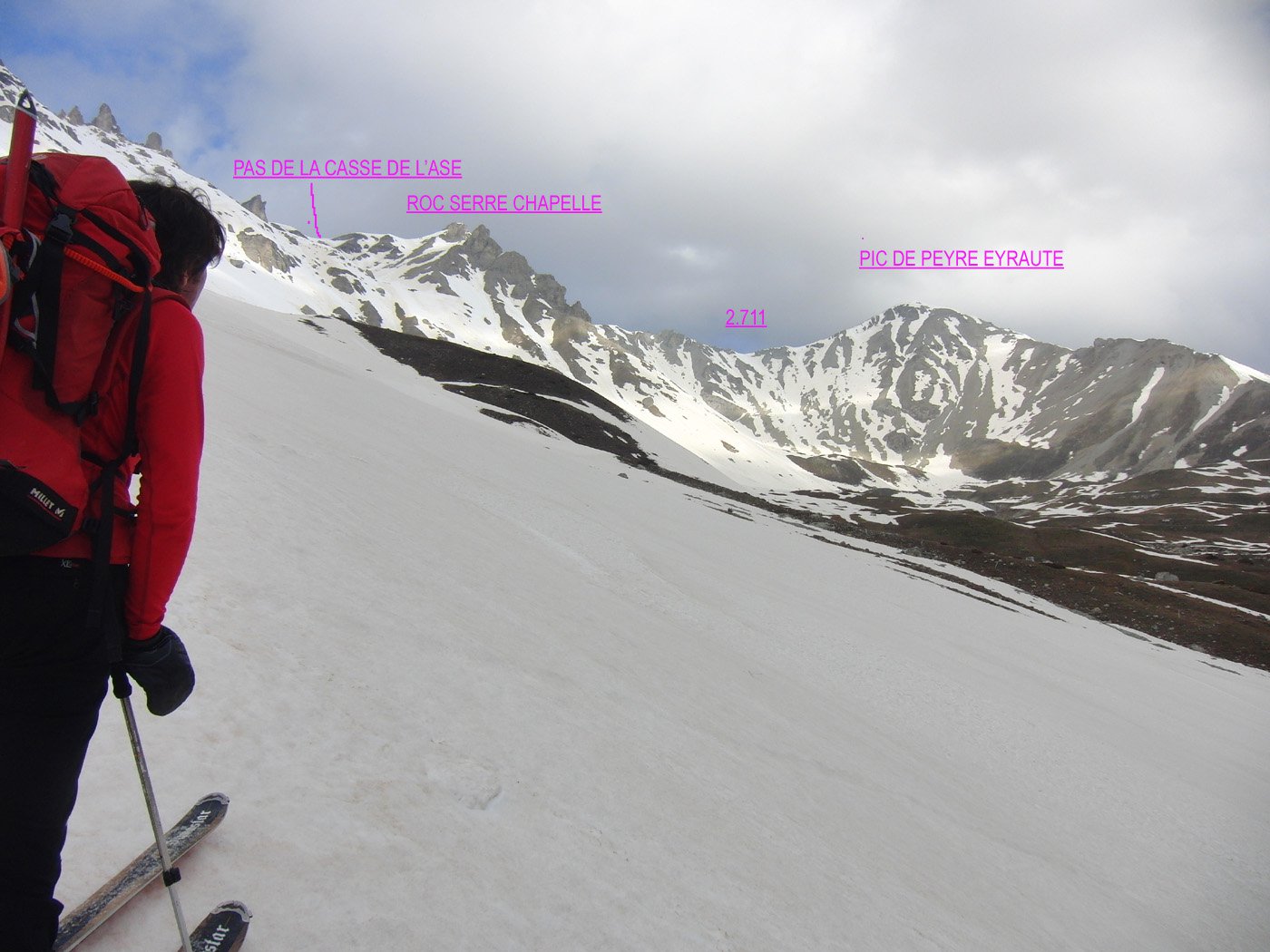
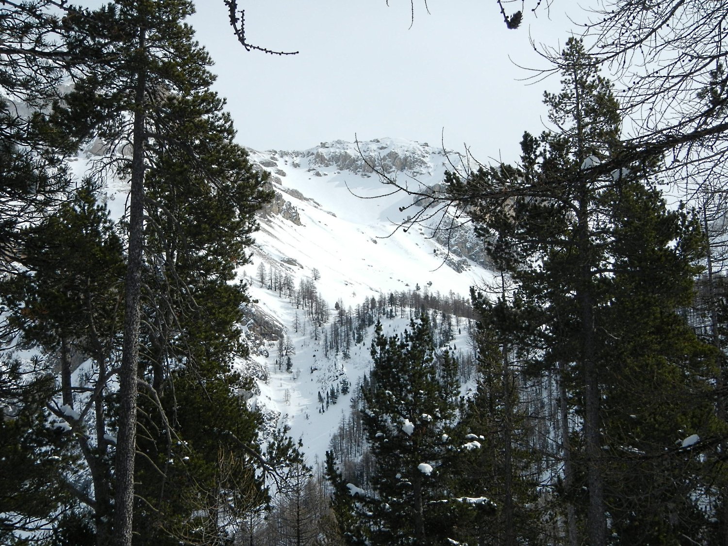
Per il Pic de Peyre Eyraute sono possibili tre itinerari:
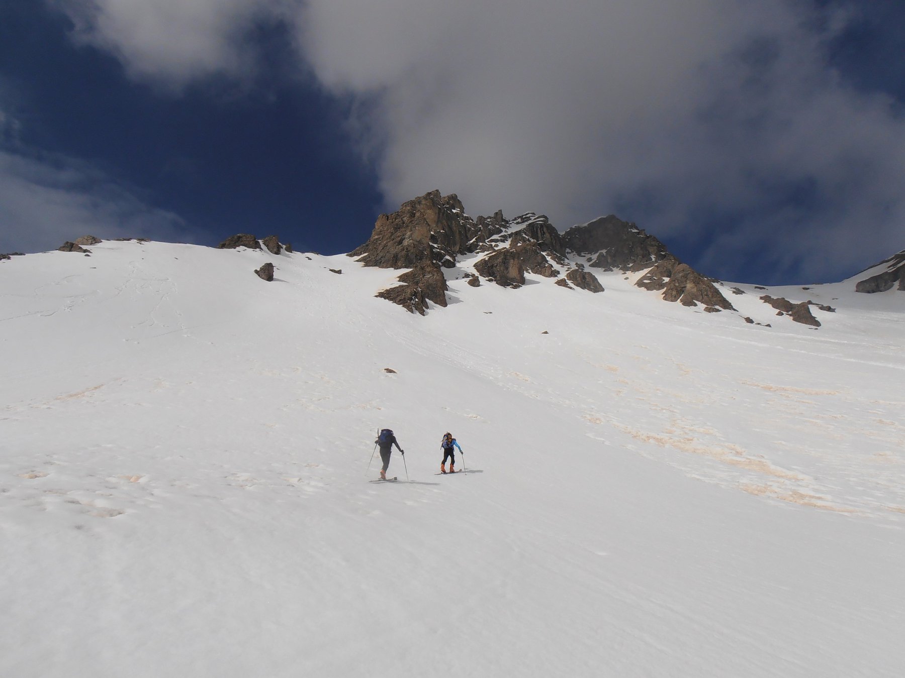
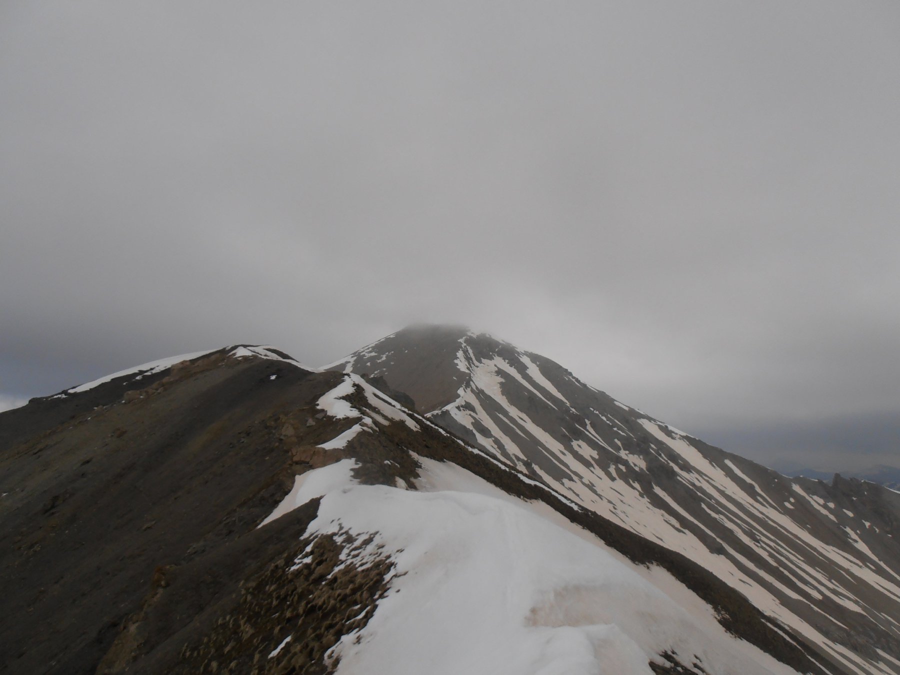
a) Cresta Est. Attraversare il pianoro degli Chalets de l’Orciére e portarsi sulla cresta est; proseguire lungo tutta la cresta tenendosi sul versante destro (nord); nella parte finale la pendenza aumenta e la cresta si assottiglia (ramponi consigliabili).
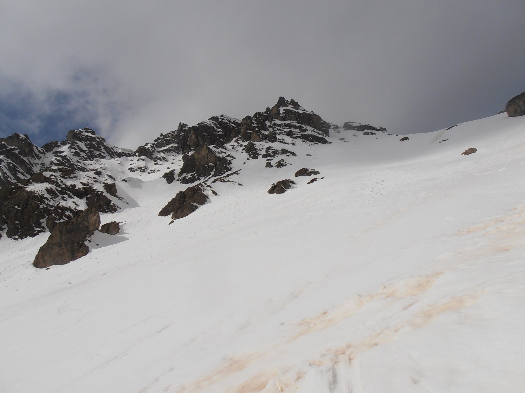
b) Passare al di sopra degli Chalets de l’Orciére e puntare al pendio con canaletti alla sinistra della vetta e raggiungere su pendii via via più ripidi il colletto a quota 2.711 (ramponi utili); dal colletto seguire il pendio sud-ovest fino in vetta.
c) Qualora si valutasse l’it. b non sicuro, attraversare in alto a sinistra al di sopra degli Chalets de l’Orciére e puntare al pendio/canale alla destra del Roc de Serre Chapelle e raggiungere il colletto a quota 2.693 (valutare le condizioni nell’ultimo tratto); proseguire su tutta la cresta sud fino in vetta al Pic de Peyre Eyraute.
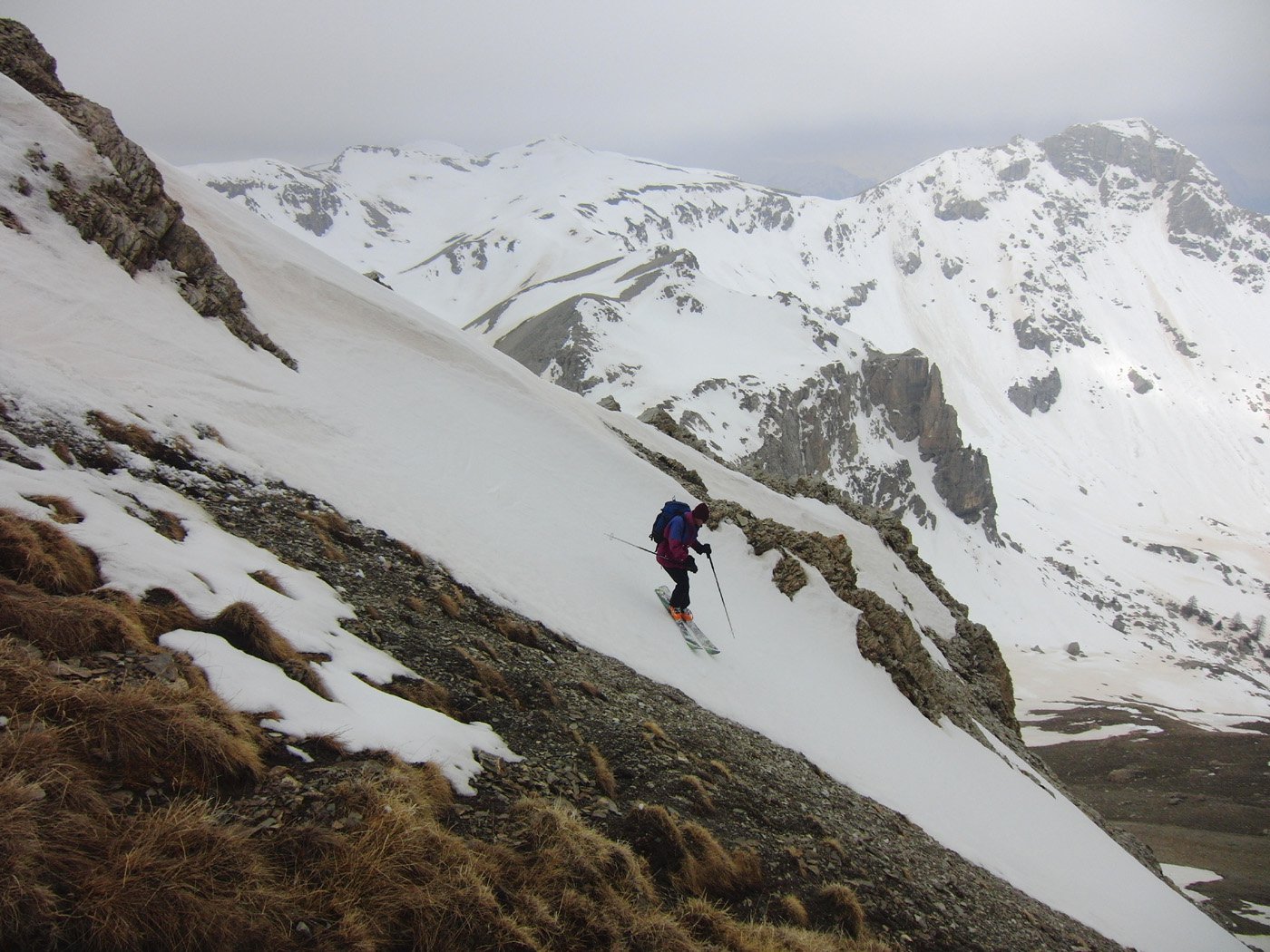
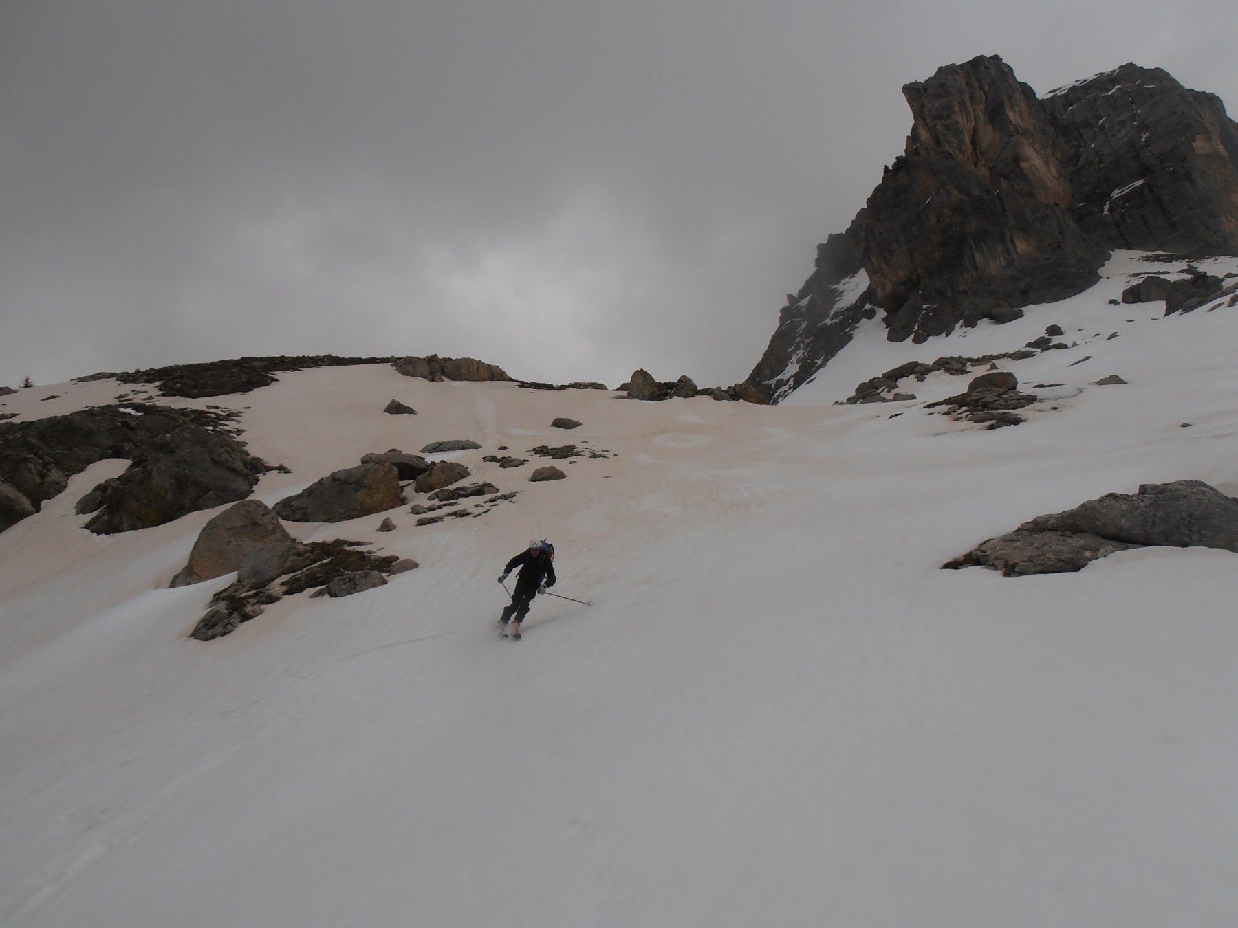
Non volendo effettuare la traversata, si può scendere dal Pic de Peyre Eyraute lungo uno degli itinerari di salita o se in buone condizioni, uno dei vari canali nella conca che si originano nei pressi della vetta (ripido) sia dalla cresta est che dalla cresta sud.
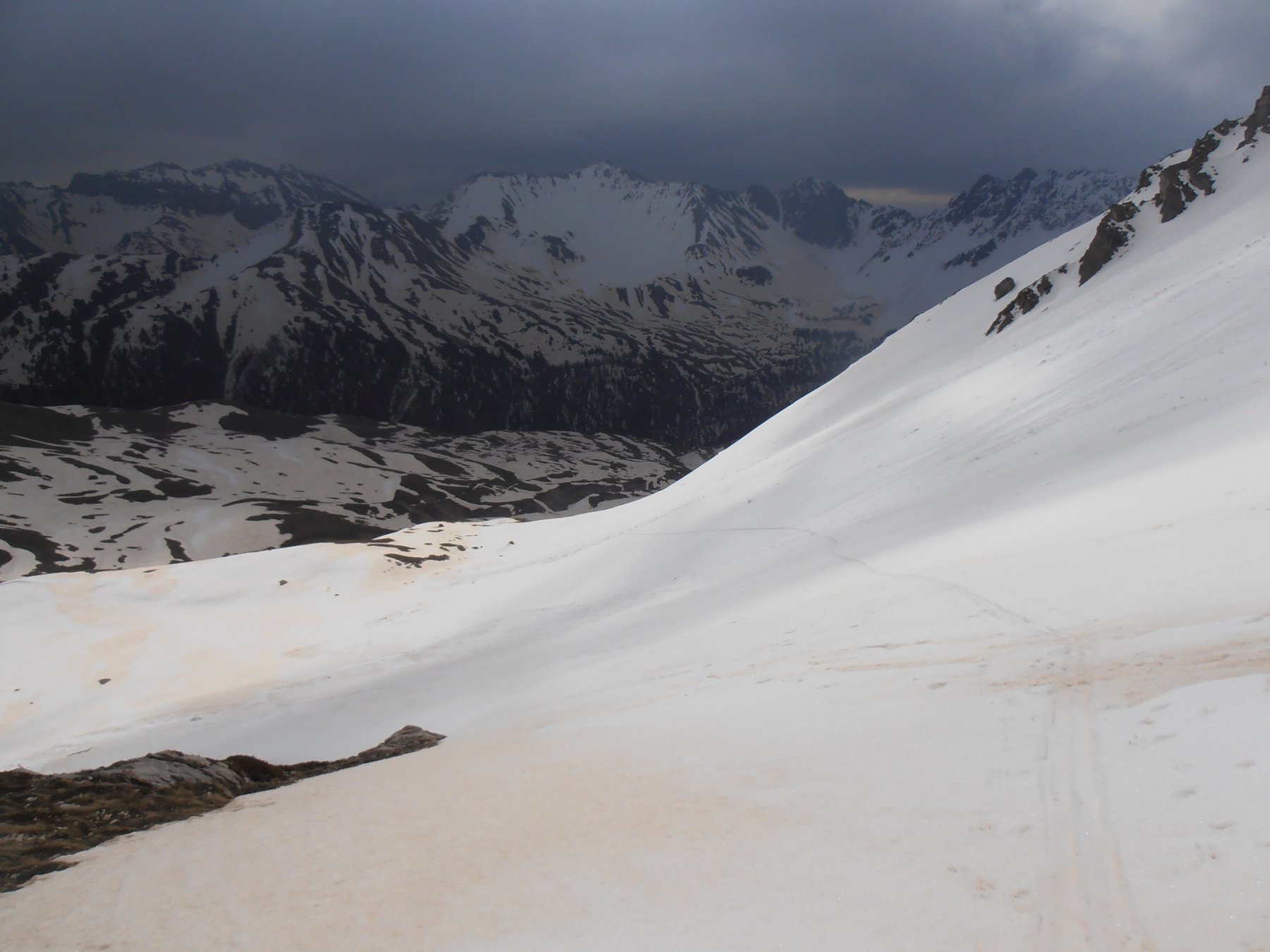
Per la traversata a seconda delle condizioni di innevamento, scendere sui sostenuti pendii ovest-sudovest sia dalla vetta e qualora l’ultimo pendio di questa fosse già pulito, dai colli 2711 o 2696 m raggiungendo il Vallone di Fond Froid e scendere lungo questo a piacimento o fino all’innevamento presente.
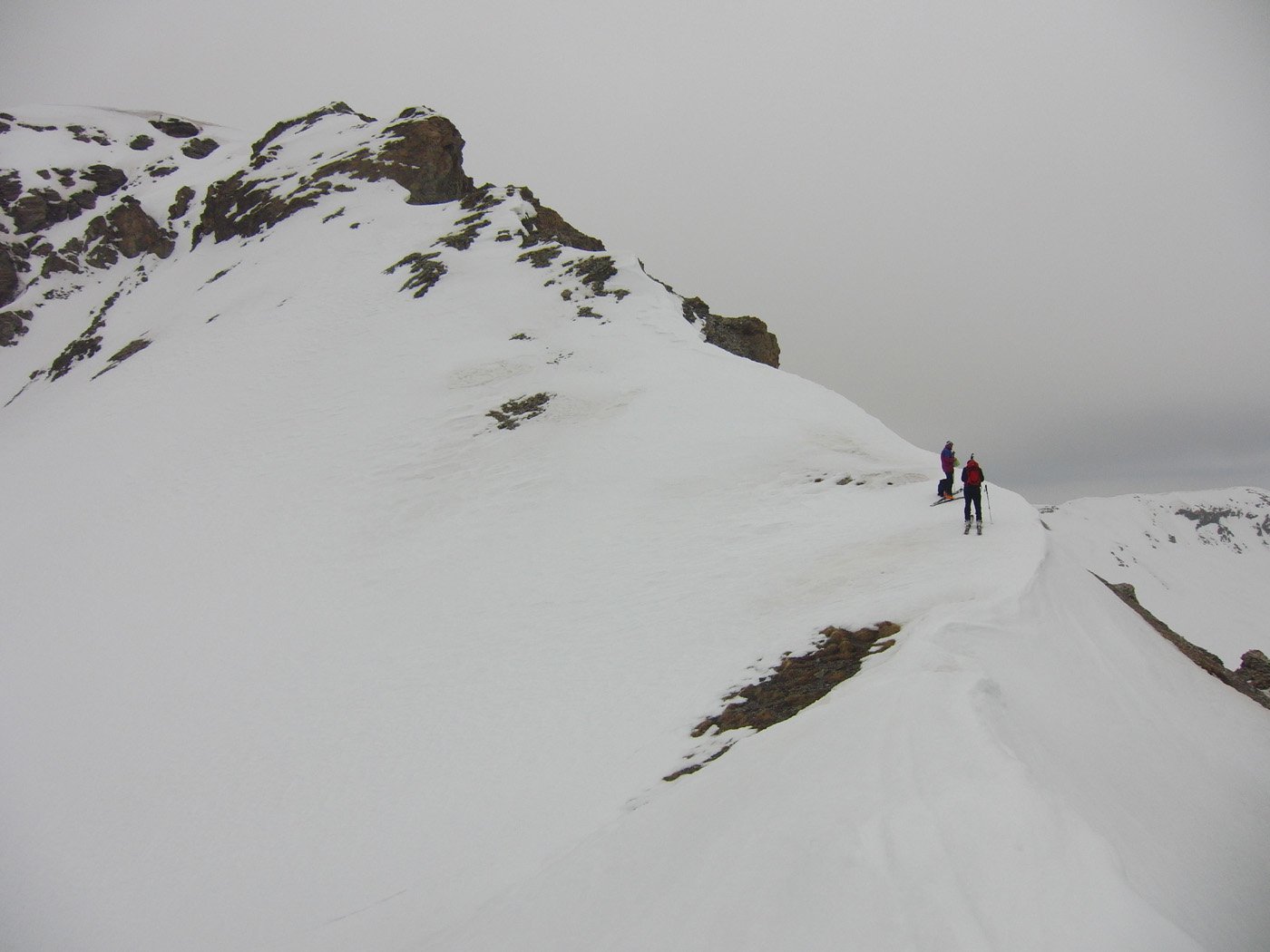
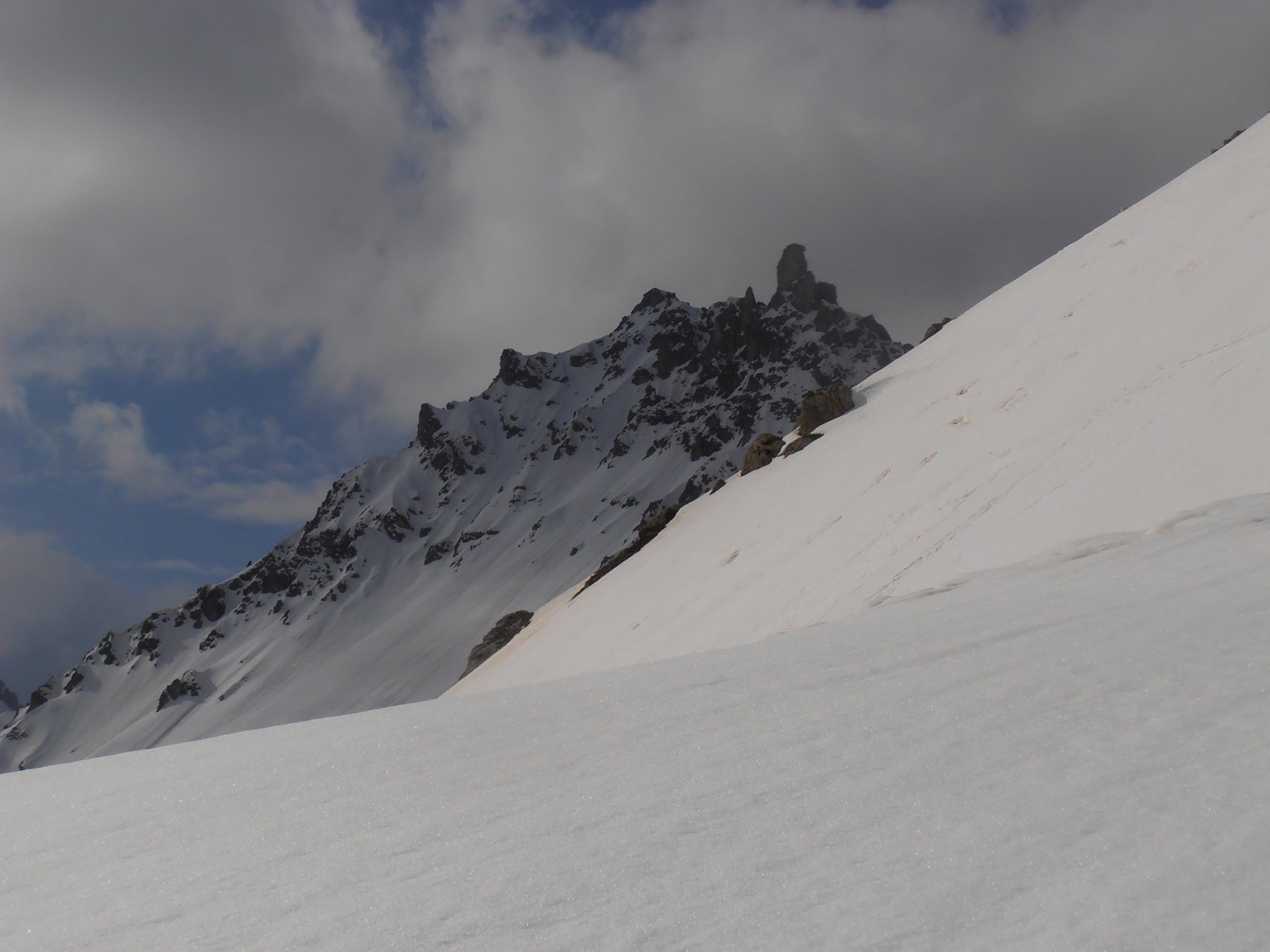
Ripellare e salire il Vallone di Fond Froid, nell’ultima comba non andare a destra verso il Col de l’Alpavin ma salire i pendii a sinistra raggiungendo il Pas de la Casse de l’Ase 2707 m e lungo la cresta sud raggiungere il Roc de Serre Chapelle.
Scendere fino nei pressi del Pas de la Casse de l’Ase da quale su bellissimi e sostenuti pendii scendere direttamente agli Chalets de l’Orceyrette.
- Cartografia:
- IGN 1:25.000 Brianconnais n. 244
Nelle vicinanze Mappa
Itinerari
19/04/2015 Hautes-Alpes, Villar-Saint-Pancrace D+ 557 m MS Sud-Ovest
Roux (Rocher du) dal Lac de l’Orceyrette
 50m
50m
13/01/2019 Hautes-Alpes, Villar-Saint-Pancrace D+ 1489 m OSA Nord-Ovest
Jean Rey (Pic) da Villar Saint Pancrace
 5.2Km
5.2Km
16/02/2013 Hautes-Alpes, Villar-Saint-Pancrace D+ 1372 m BS Nord
Barres (Crete des) da Villar Saint Pancrace
 5.2Km
5.2Km
21/02/2016 Hautes-Alpes, Villar-Saint-Pancrace D+ 1720 m BS Varie
Brusas (Crete des) da Villar Saint Pancrace, giro della Forete d’Ayes
5.2Km
13/02/2016 Hautes-Alpes, Villar-Saint-Pancrace D+ 1392 m BS Nord
Melezin (Cime du) da Villar-Saint-Pancrace
5.2Km
21/02/2016 Hautes-Alpes, Saint-Martin-de-Queyrières D+ 1000 m MS Nord
Bois de Testasson (Cime du) da le Villaret
 7.2Km
7.2Km
22/04/2002 Hautes-Alpes, Saint-Martin-de-Queyrières D+ 1134 m BS Nord
Moutiere (Roche de la) da le Villaret
7.2Km
10/05/2014 Hautes-Alpes, Saint-Martin-de-Queyrières D+ 1115 m MS Nord
Alpavin (Crete de l’) da Saint-Martin-de-Queyrières
 7.3Km
7.3Km
10/05/2014 Hautes-Alpes, Saint-Martin-de-Queyrières D+ 1293 m OSA Sud-Ovest
Peyre Eyraute (Pic de) da Rocher Baron per il Versante SO
 7.3Km
7.3Km
02/02/2020 Hautes-Alpes, Cervières D+ 987 m BS Varie
Cime (Clot de la) da le Laus, traversata a Brunissard
 8.5Km
8.5Km