900m
900m

Note
 50m
1Km
1.4Km
1.4Km
1.4Km
1.4Km
1.4Km
1.4Km
1.4Km
50m
1Km
1.4Km
1.4Km
1.4Km
1.4Km
1.4Km
1.4Km
1.4Km
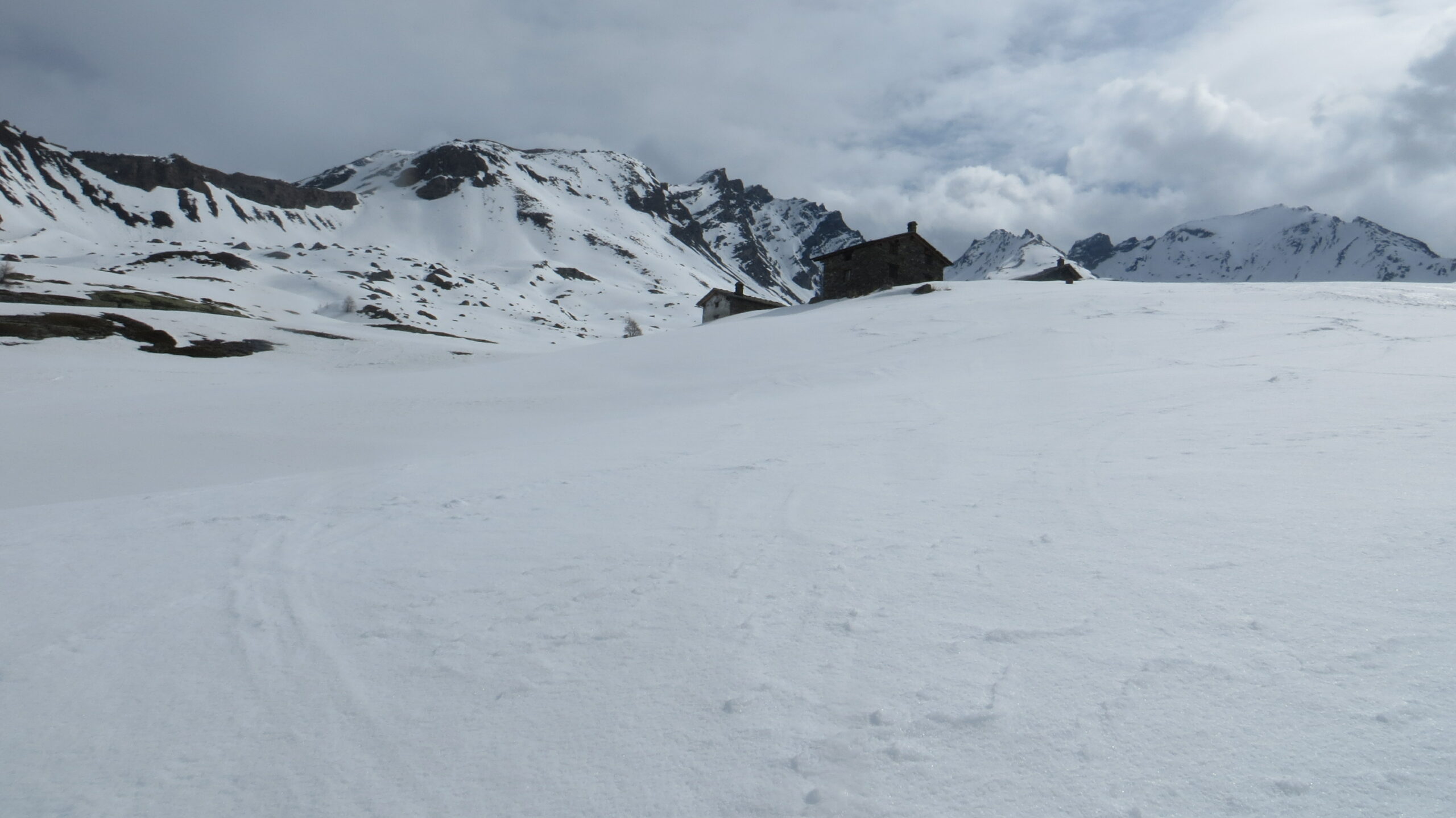
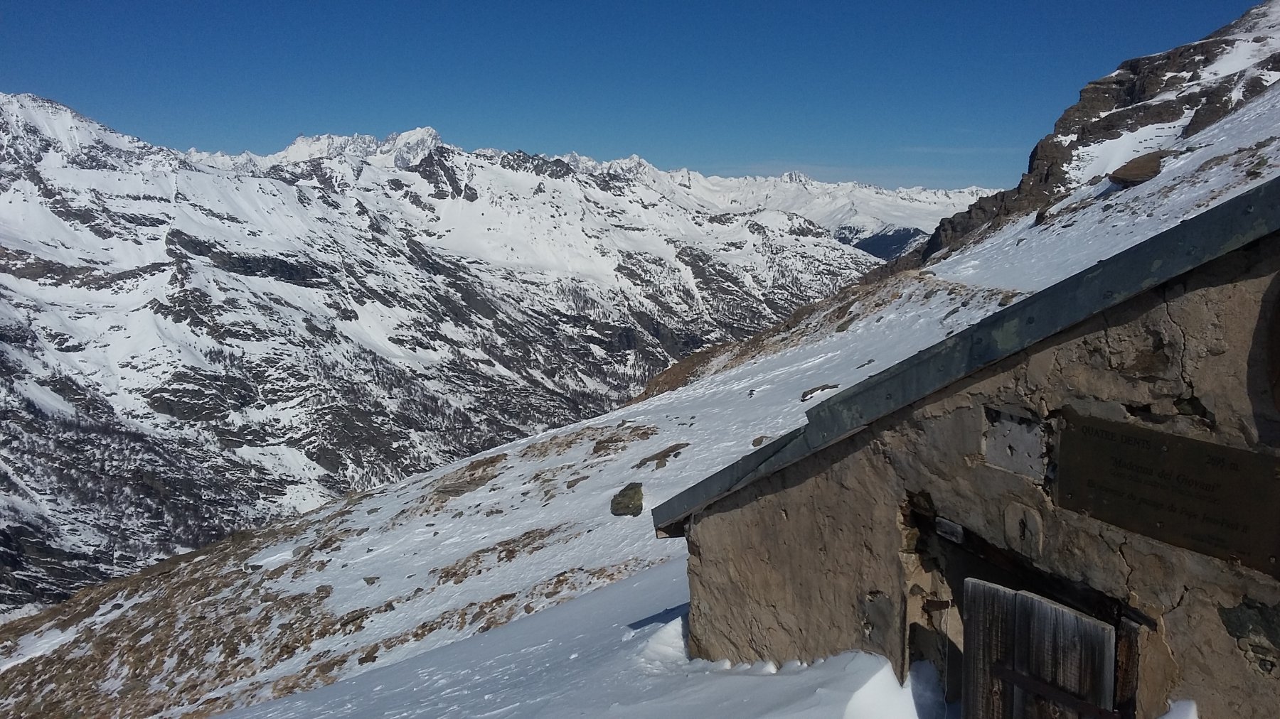
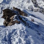
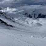
Alla sella q. 2695 m sorge il bivacco Quatre Dents, da considerarsi solo un ricovero di emergenza. Porta chiusa a chiave, con chiave inserita.
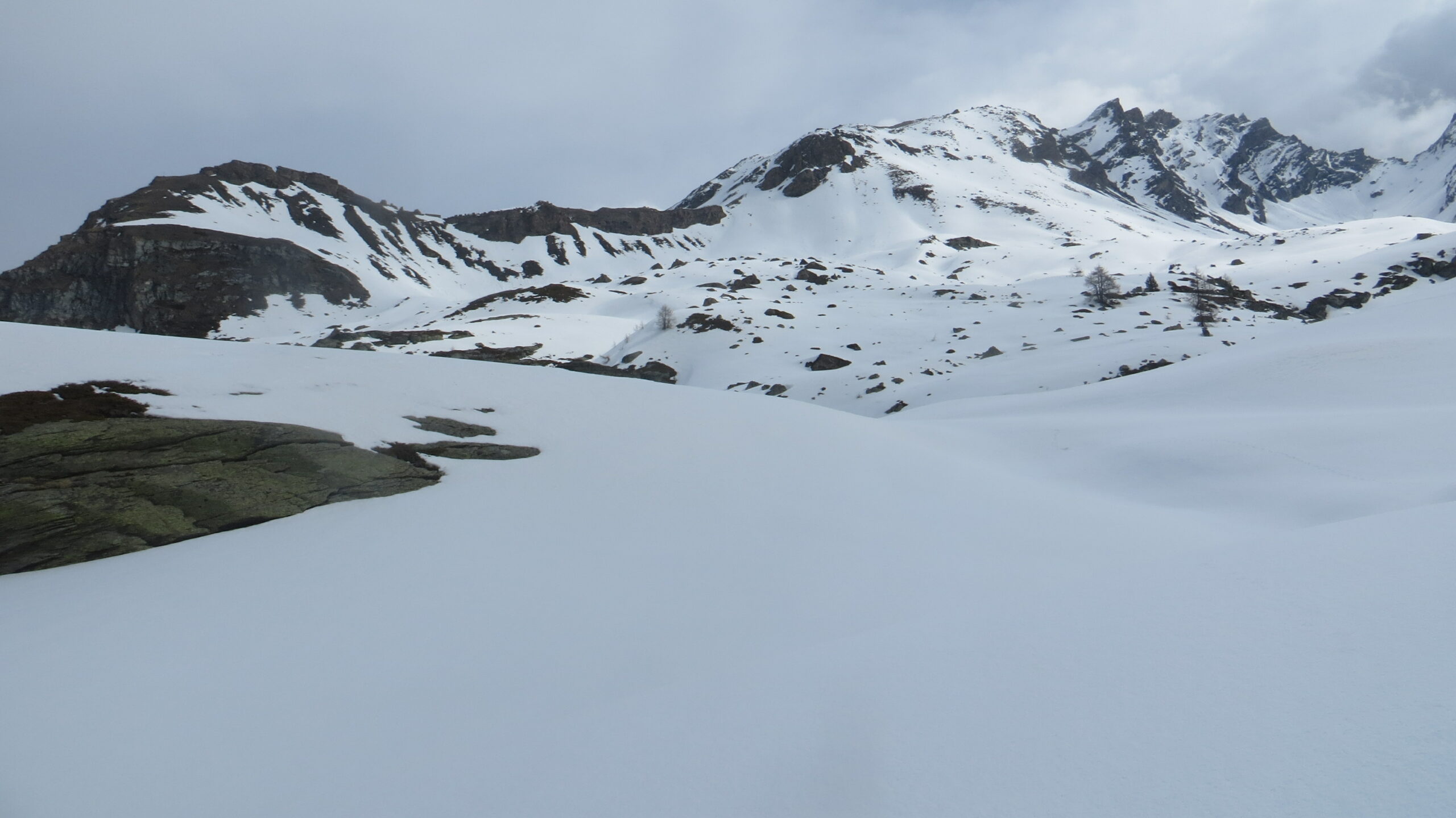
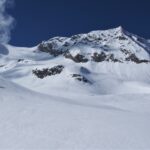
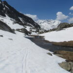
Dal colle è possibile scendere di circa 150 m sul versante sud (vallone di Plontaz) e continuare sull'itinerario classico del colle di Feluma.
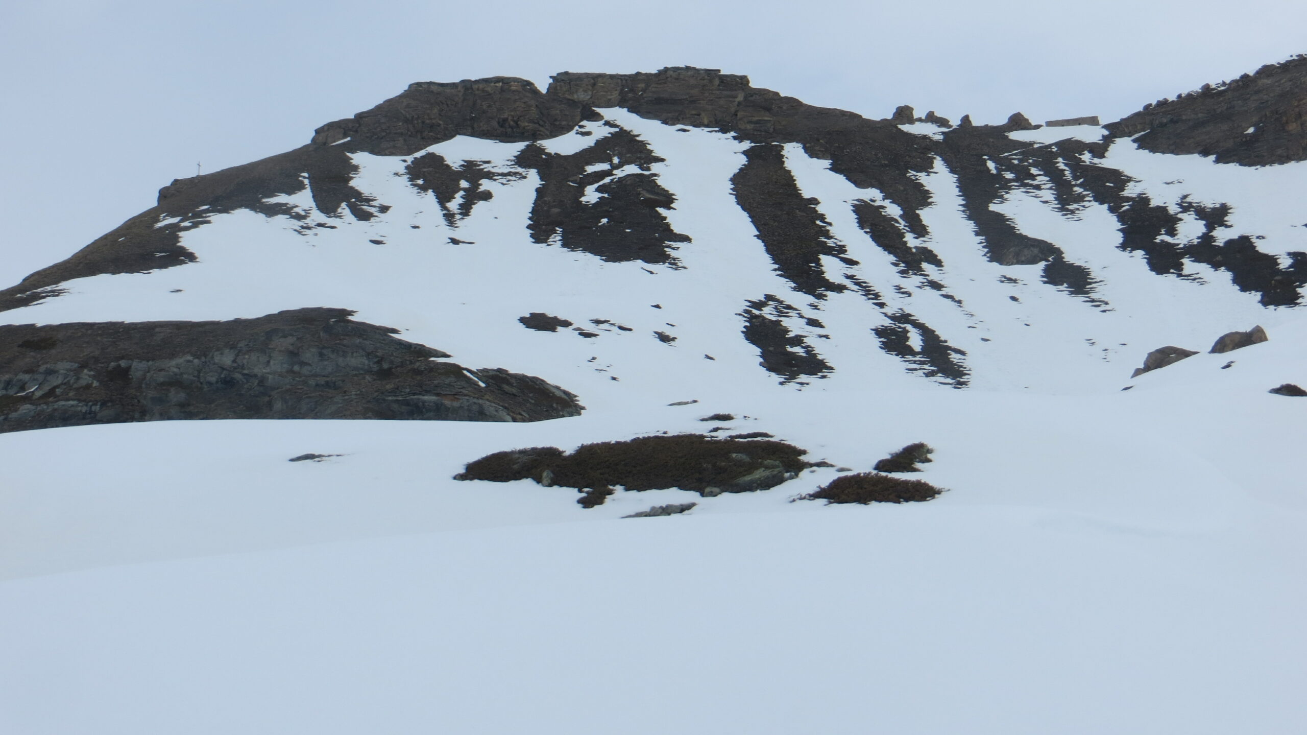
Dal bivacco, è forse possibile raggiungere, in sci e/o parzialmente a piedi, la vetta della Punta Feluma, per gli spalti rocciosi della spalla ovest. Pendii a 35° e oltre.
Avvicinamento
Dal colle è possibile scendere di circa 150 m sul versante sud (vallone di Plontaz) e continuare sull'itinerario classico del colle di Feluma.
Dal bivacco, è forse possibile raggiungere, in sci e/o parzialmente a piedi, la vetta della Punta Feluma, per gli spalti rocciosi della spalla ovest. Pendii a 35° e oltre.
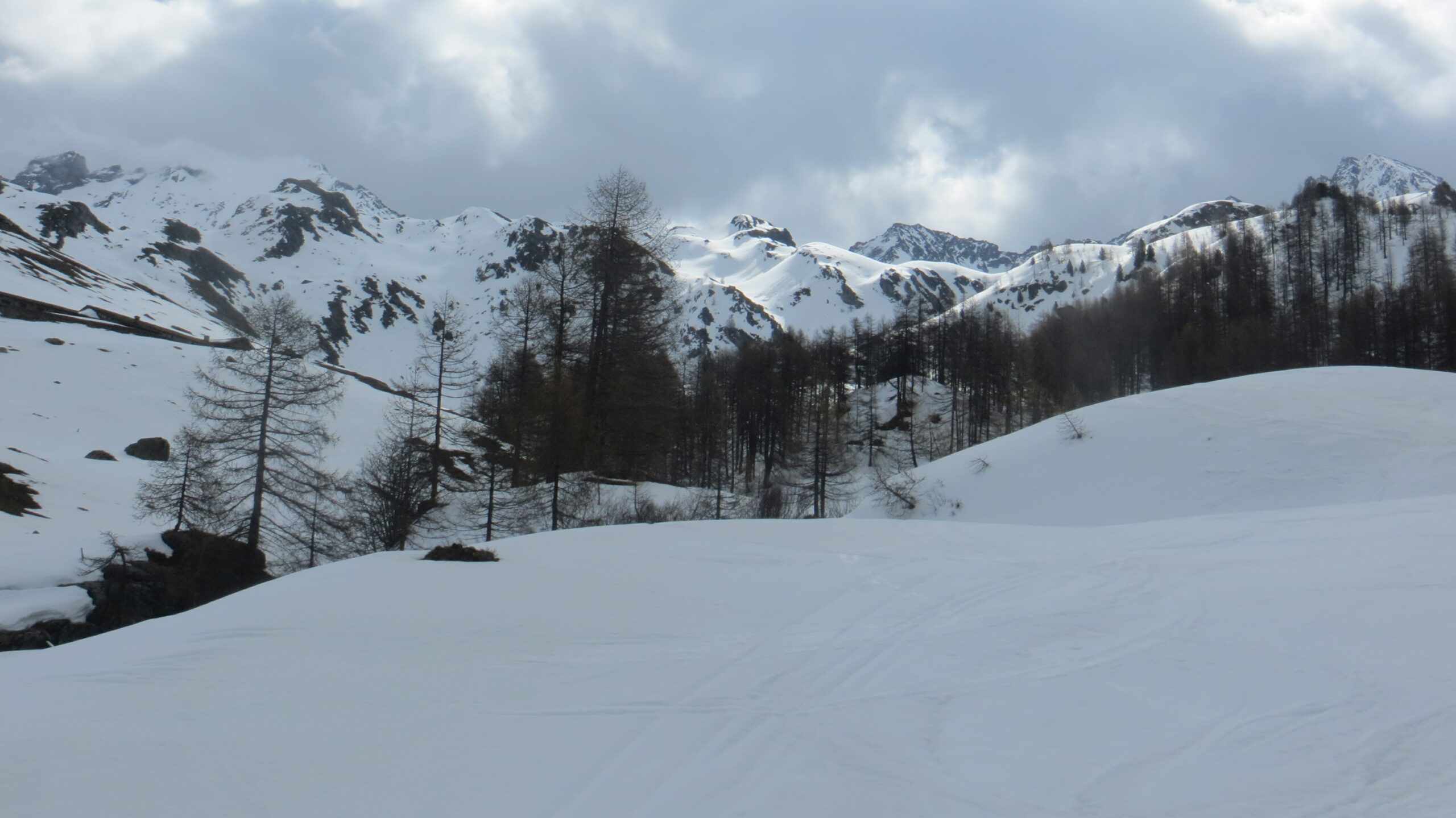
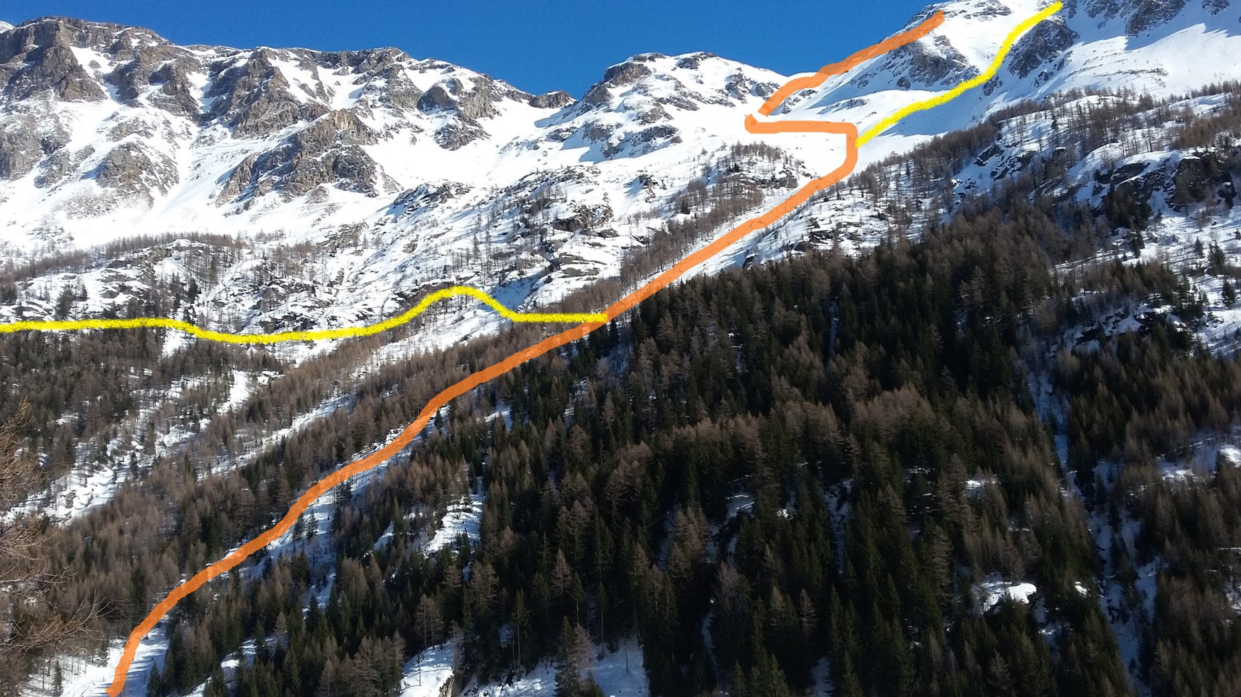
L'avvicinamento è in comune con l'itinerario classico della Punta Feluma. Noi consigliamo la partenza dalle piste di Chaz Carral, circa 1 km a nord del paese.
Descrizione
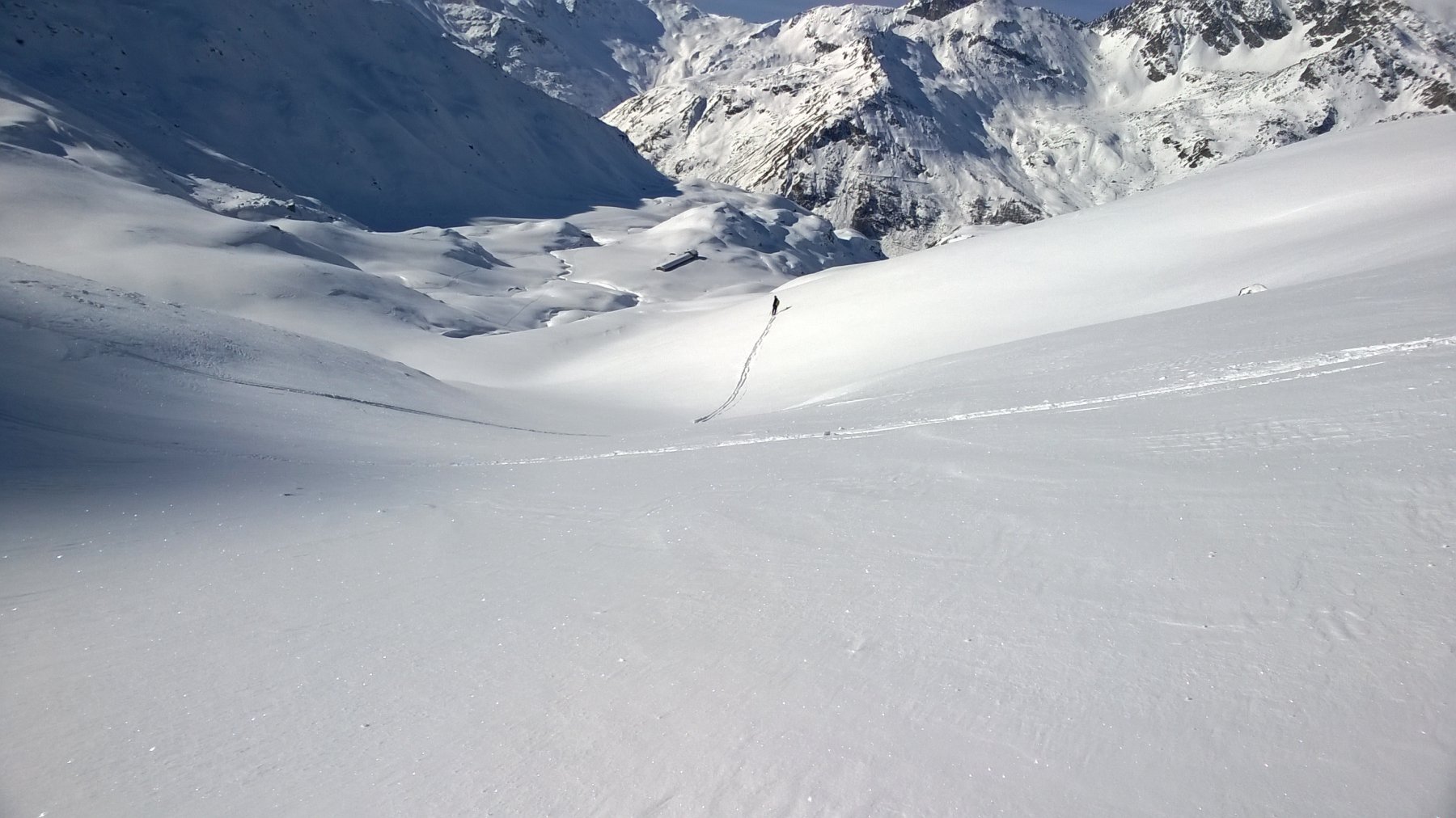
Dalla partenza della seggiovia, risalire la pista di destra fino a quota 1800 m circa. Da qui, lasciare la pista sulla sinistra e inoltrarsi nel bosco (direzione sud) in piano o leggera salita, fino a incontrare il sentiero estivo n° 6 a quota 1920 m (presa dell’acquedotto). Qui ci si innesta sull’itinerario della Punta Feluma che sale direttamente dal paese.
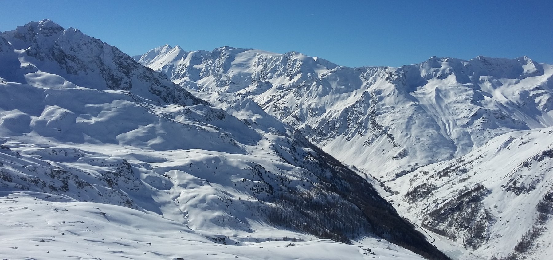
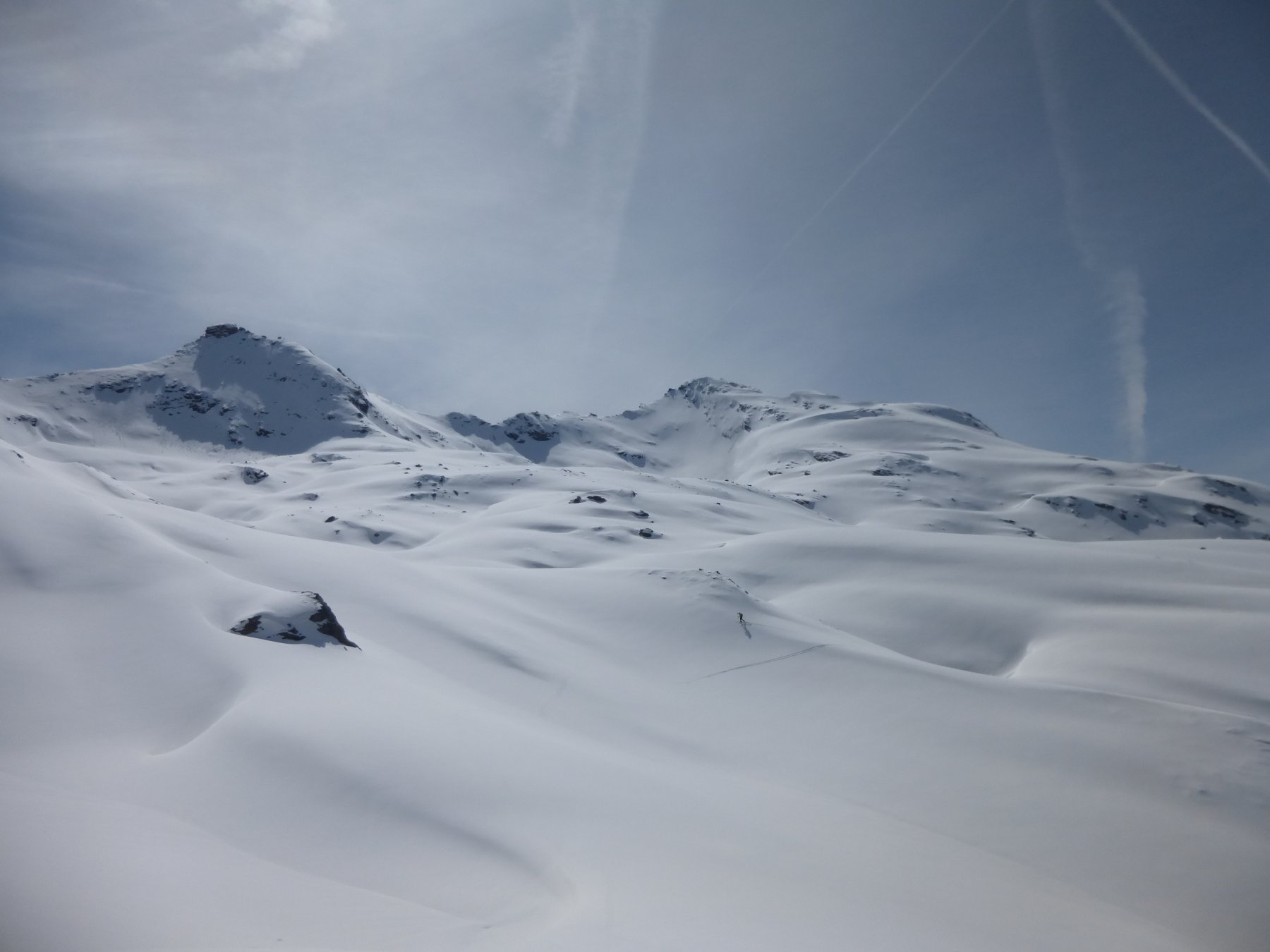
Risalire, prima nel bosco, poi su terreno aperto, i pendii del vallone di Feluma fino a quota 2400 m.
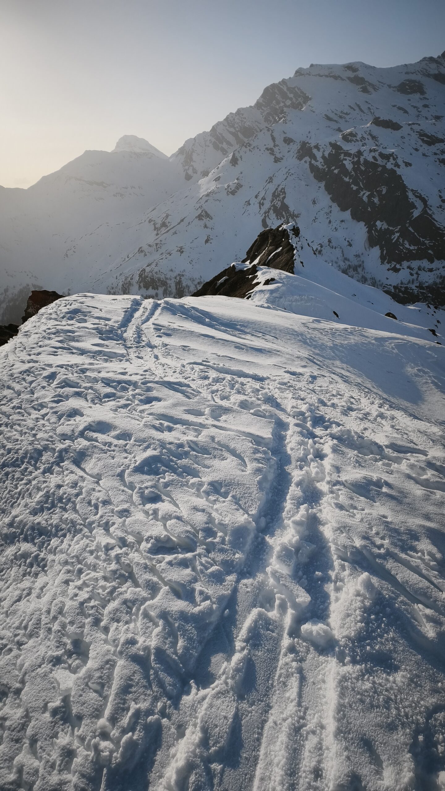
Lasciare sulla sinistra l’itinerario di Punta Feluma, e piegare decisamente a destra (direzione sud) verso l’evidente sella dove sorge il bivacco Quatre Dents (visibile solo all’ultimo momento). Tratti con pendenza a 30° e oltre (attenzione in caso di accumuli).
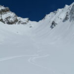
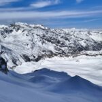
Discesa per l’itinerario della salita, oppure possibile variante: discesa verso sud, nel vallone di Plontaz e poi alla diga di Beauregard.
- Cartografia:
- IGC 1:25ooo Valsavaranche - Rhemes - Valgrisenche
Nelle vicinanze Mappa
Itinerari
12/05/2024 AO, Valgrisenche D+ 1640 m OS Ovest
Tos (Becca di) da Valgrisenche
 50m
50m
28/02/2026 AO, Valgrisenche D+ 1549 m BS Nord-Ovest
Feluma (Punta) da Valgrisenche
 1Km
1Km
03/02/2024 AO, Valgrisenche D+ 1037 m BS Varie
Quattro Denti (Becca dei) da Valgrisenche, anello valloni di Maison Forte e Praz Londzet
1.4Km
17/05/2026 AO, Valgrisenche D+ 1609 m BSA Nord-Ovest
Rabuigne (Punta di) da Valgrisenche
 1.4Km
1.4Km
25/04/2024 AO, Valgrisenche D+ 1337 m BS Ovest
Feluma (Col) da Mondanges
 1.4Km
1.4Km
04/04/2026 AO, Valgrisenche D+ 1168 m MS Ovest
Sigaro (il) quota 2820 m da Valgrisenche
 1.4Km
1.4Km
28/12/2024 AO, Valgrisenche D+ 1233 m BS Ovest
Cussunaz o Cussuna (Colle di) da Valgrisenche
 1.4Km
1.4Km
27/05/2026 AO, Valgrisenche D+ 1188 m MS Ovest
Finestra (Colle) da Valgrisenche
 1.4Km
1.4Km
24/01/2026 AO, Valgrisenche D+ 1460 m OS, PD- Ovest
Pré d’Amont (Becca di) Paretina Ovest
 1.4Km
1.4Km
07/02/2026 AO, Valgrisenche D+ 1591 m BS Nord-Ovest
Forciaz (Mont), cima est da Valgrisenche
 1.4Km
1.4Km