6.3Km
6.3Km
Note
 1.9Km
2Km
2.2Km
2.2Km
2.2Km
3.6Km
1.9Km
2Km
2.2Km
2.2Km
2.2Km
3.6Km
6.3Km
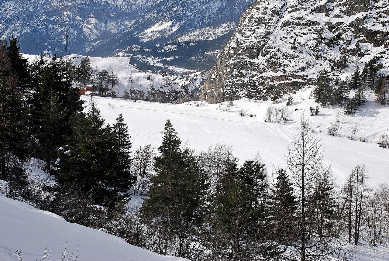
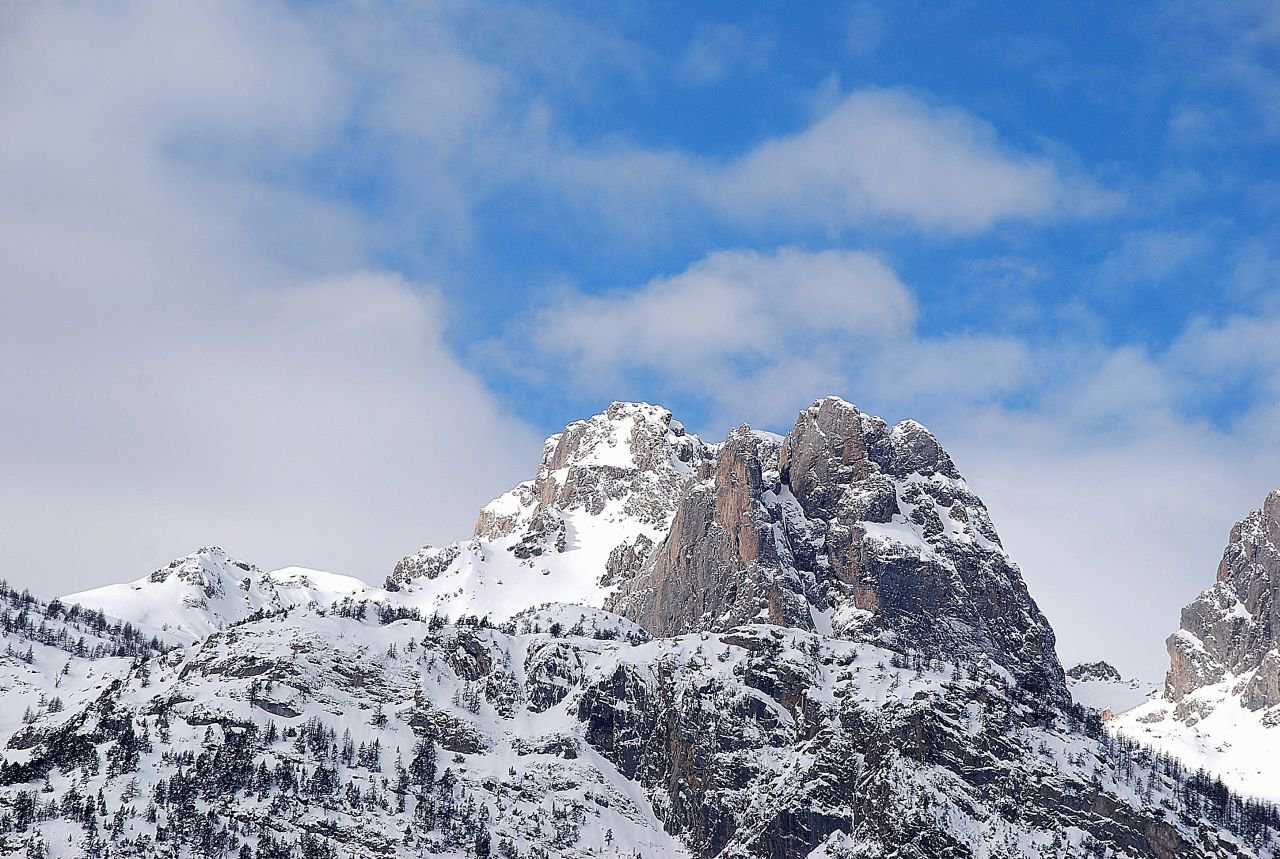
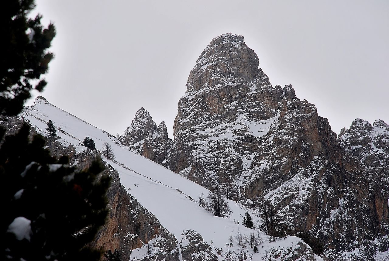
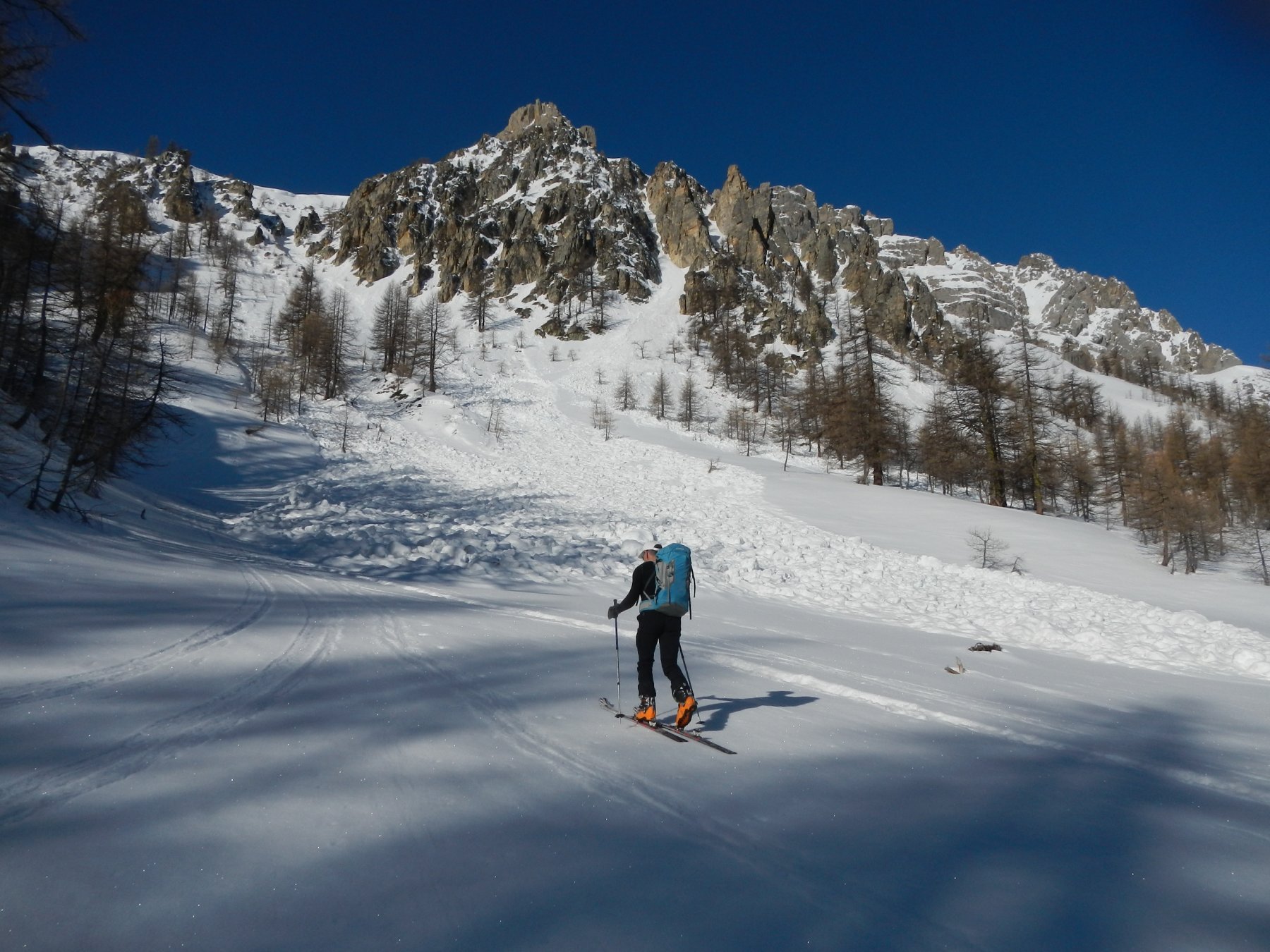
Percorso sicuro che si può effettuare anche dopo abbondanti nevicate. Giunge sulla prima cima (boscosa) della Crete de Testasson
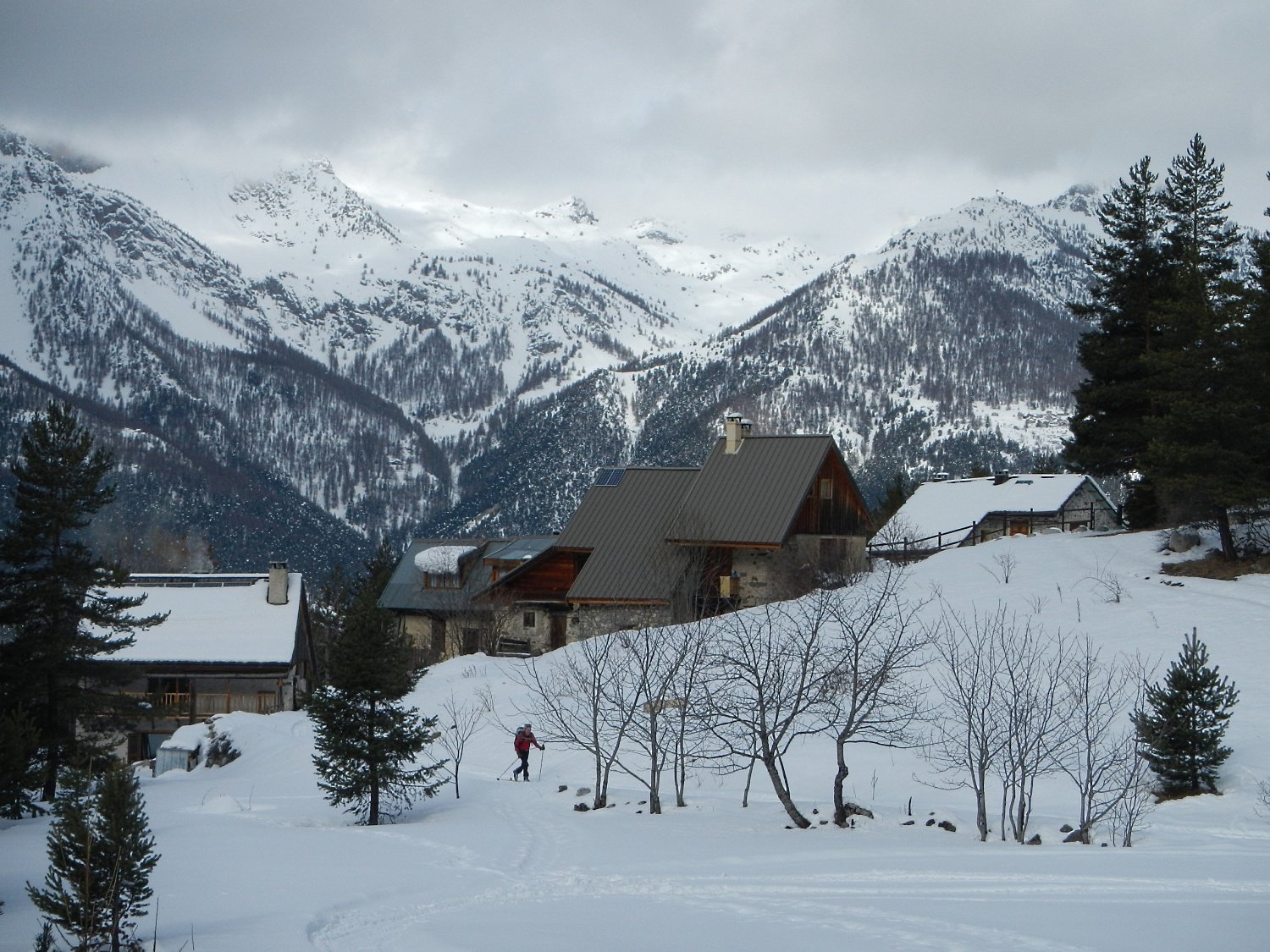
Avvicinamento
Monginevro - Briancon - Villaret - bivio per Roche Baron
Descrizione
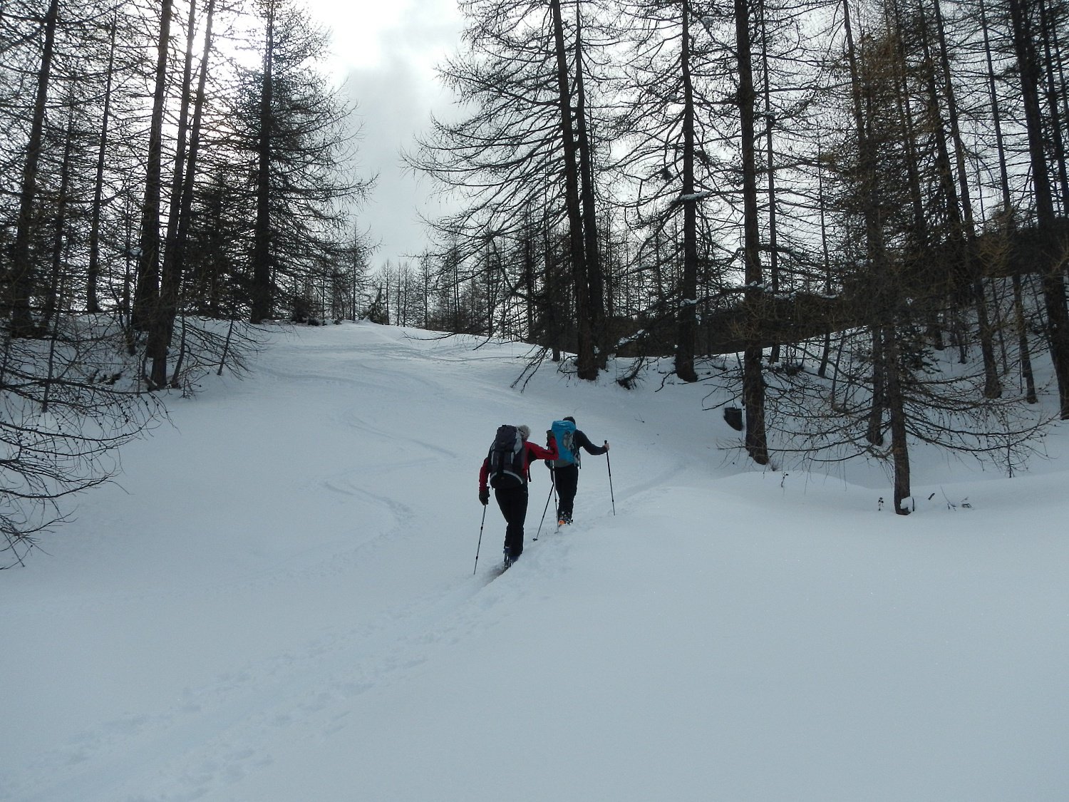
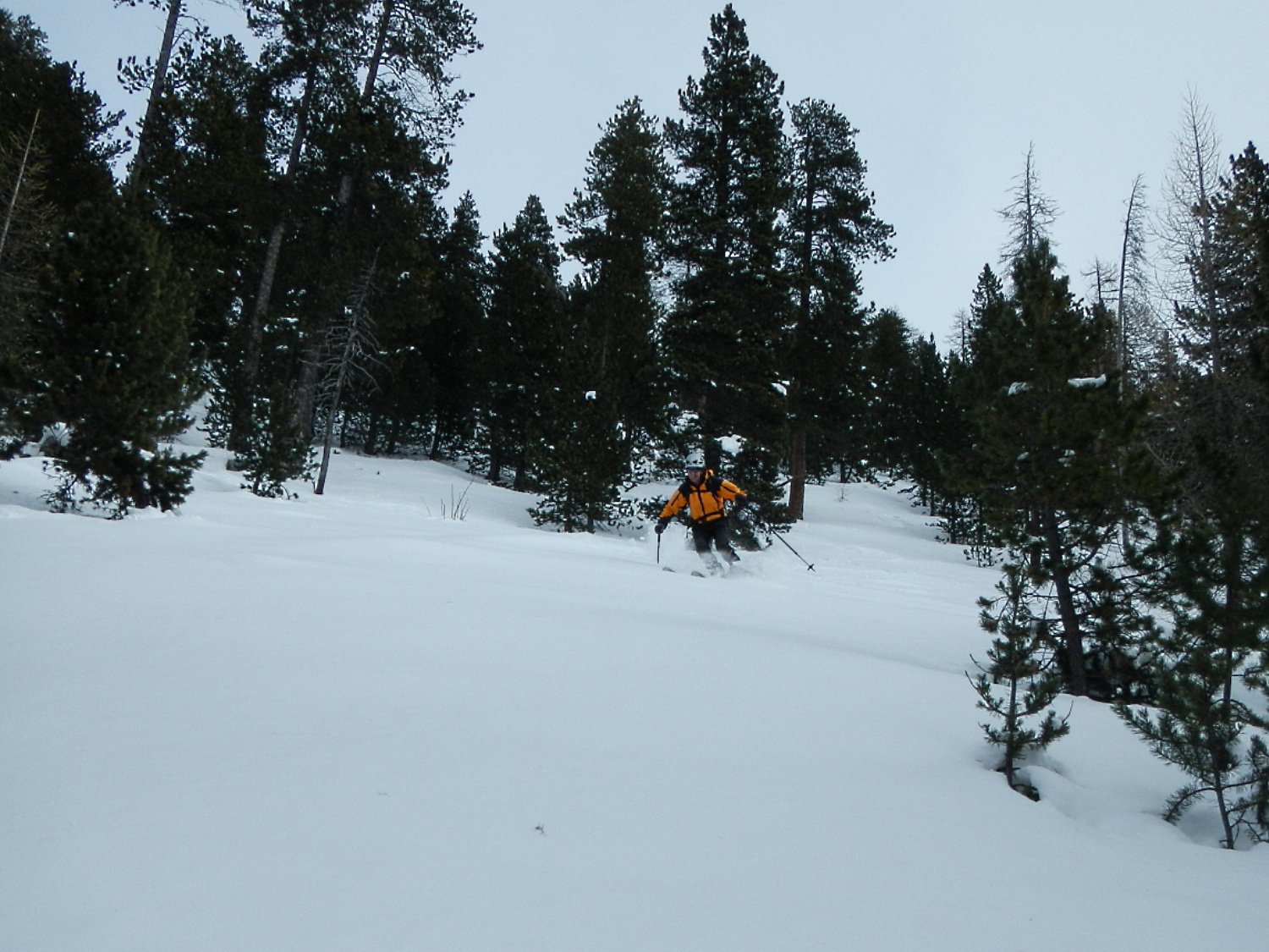
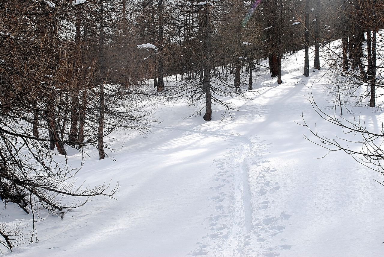
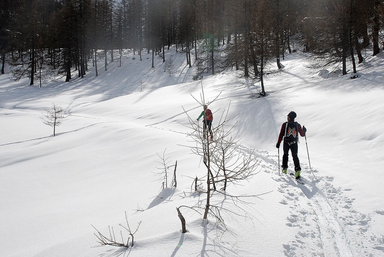
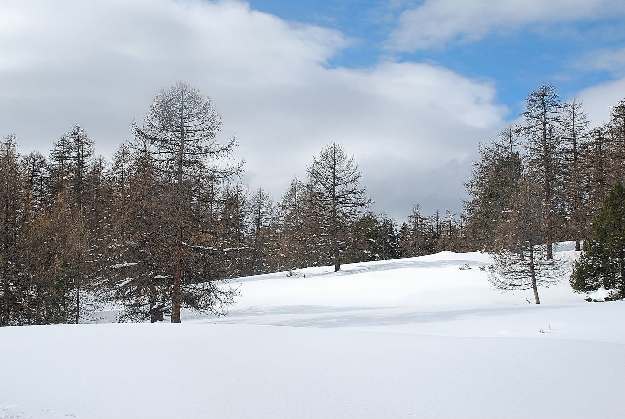
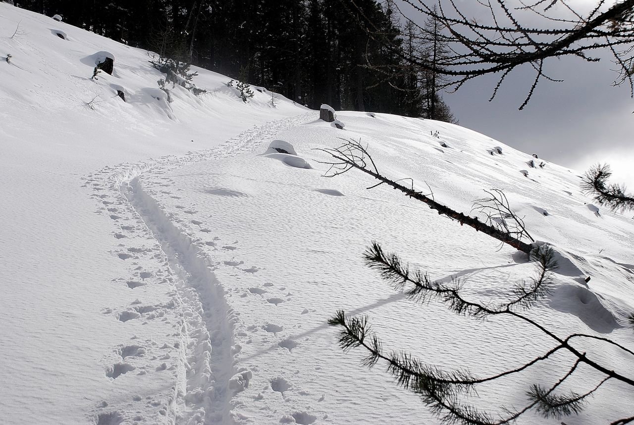
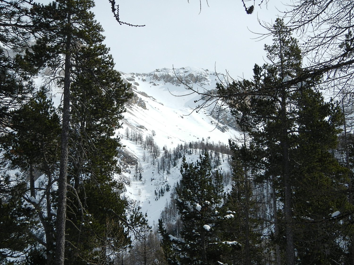
In comune con l’it. 61 del libro succitato, Crete de l’Alpavin, sino a quota 1880, ai bordi di un’ampia radura. Si sale sulla destra per comodi pendii fino al Col de Testasson 1940 m, caratterizzato da ampie radure e boschi di conifere. Si piega a sinistra dove subito si incontra una pista forestale che sale in maniera avvolgente e conduce al boschivo pianoro della cima. Discesa o sull’it. di salita o giù dal pendio N, scendendolo stando sulla sinistra, sino al pianoro di quota 1880, dove si ricongiungono i 2 percorsi.
- Cartografia:
- Ign Briancon 1:25000
- Bibliografia:
- L.Barbiè, J.C. Campana - da Monviso al Colle del Moncenisio - Blu Ed.
Nelle vicinanze Mappa
Itinerari
22/04/2002 Hautes-Alpes, Saint-Martin-de-Queyrières D+ 1134 m BS Nord
Moutiere (Roche de la) da le Villaret
50m
17/04/2014 Hautes-Alpes, Saint-Martin-de-Queyrières D+ 1228 m BS Sud-Est
Lauzières (Tete des) o le Sablier da Sachas
1.5Km
10/05/2014 Hautes-Alpes, Saint-Martin-de-Queyrières D+ 1115 m MS Nord
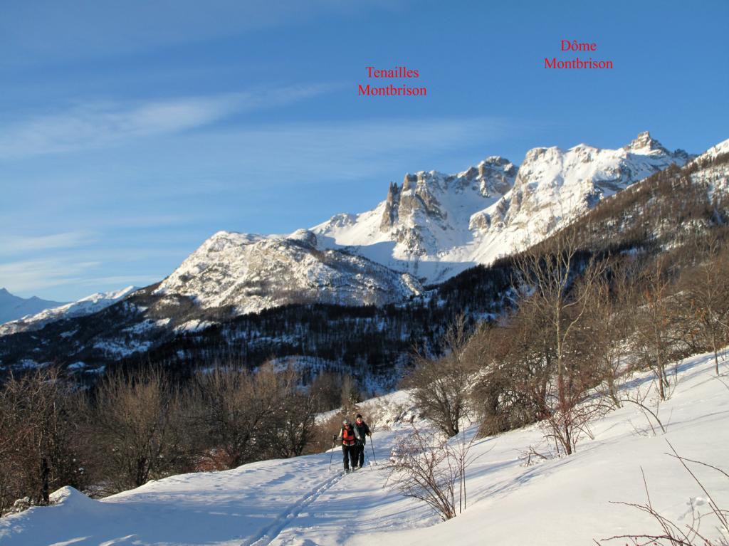
Alpavin (Crete de l’) da Saint-Martin-de-Queyrières
 1.9Km
1.9Km
10/05/2014 Hautes-Alpes, Saint-Martin-de-Queyrières D+ 1293 m OSA Sud-Ovest
Peyre Eyraute (Pic de) da Rocher Baron per il Versante SO
 2Km
2Km
03/01/2012 Hautes-Alpes, Puy-Saint-André D+ 900 m MS Sud-Est
Eychauda (Crète) da Puy Chalvin
 2.2Km
2.2Km
01/05/2019 Hautes-Alpes, Puy-Saint-André D+ 1310 m BS Varie
Condamine (Cime de la) da Puy Chalvin
 2.2Km
2.2Km
24/03/2026 Hautes-Alpes, Puy-Saint-André D+ 836 m MS Nord
Aquila (la Croix d’) da Puy Chalvin
 2.2Km
2.2Km
21/02/2016 Hautes-Alpes, Villar-Saint-Pancrace D+ 1720 m BS Varie
Brusas (Crete des) da Villar Saint Pancrace, giro della Forete d’Ayes
3.6Km
13/02/2016 Hautes-Alpes, Villar-Saint-Pancrace D+ 1392 m BS Nord
Melezin (Cime du) da Villar-Saint-Pancrace
3.6Km
16/02/2013 Hautes-Alpes, Villar-Saint-Pancrace D+ 1372 m BS Nord
Barres (Crete des) da Villar Saint Pancrace
 3.6Km
3.6Km
Servizi
6.3Km