6.2Km
6.2Km
Note
 0m
0m
0m
0m
0m
0m
0m
0m
0m
0m
0m
0m
0m
0m
0m
0m
0m
0m
0m
0m
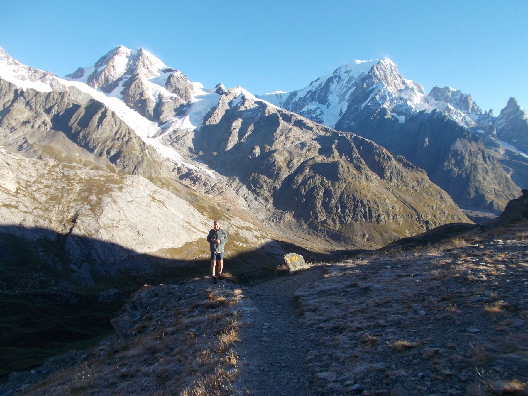
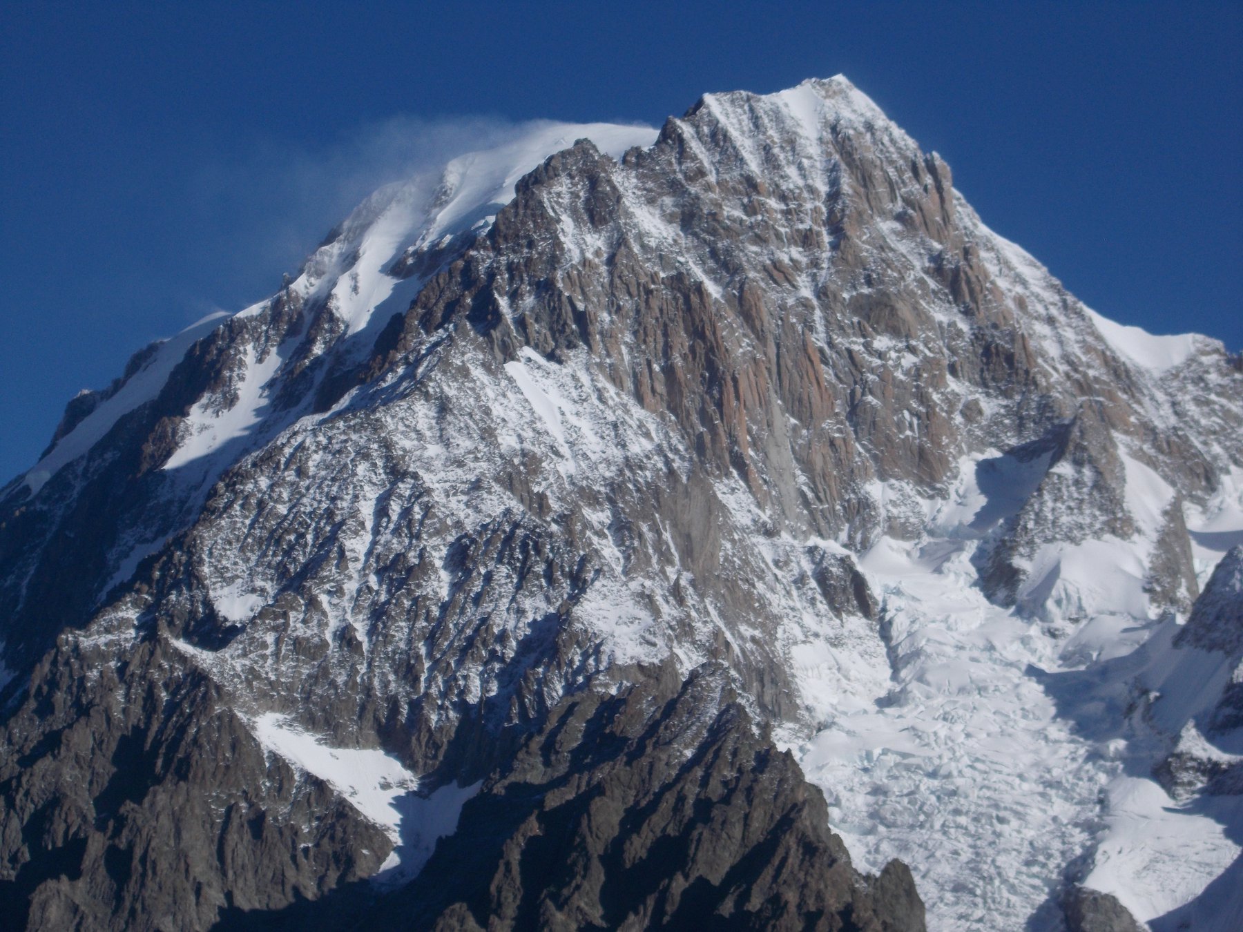
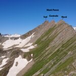
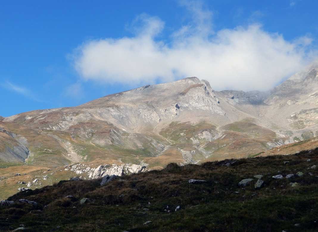
Itinerario molto lungo anche se non presenta un enorme dislivello nè una particolare difficoltà e che richiede buon allenamento. Panorama unico sul Monte Bianco, ma anche Gran Combin , Monte Rosa , Rutor
Avvicinamento
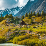
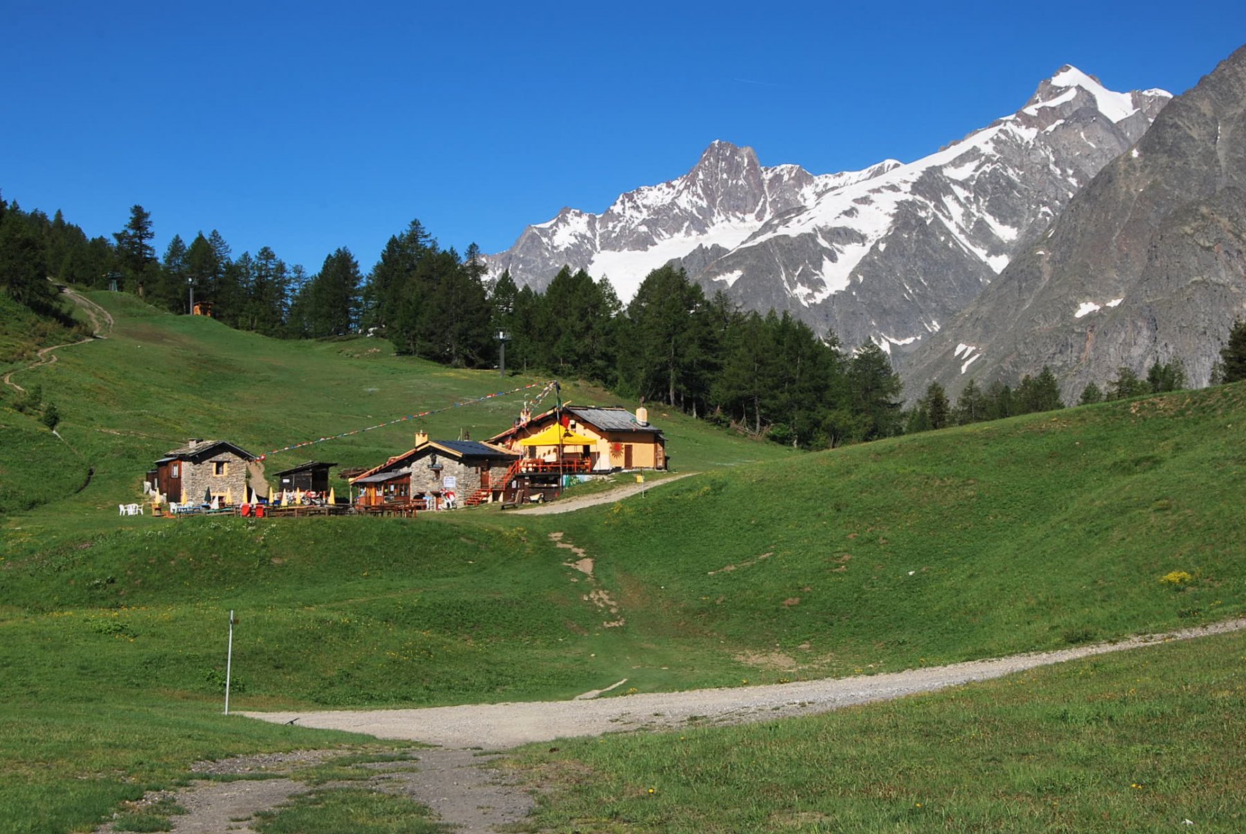
Raggiungere da Courmayeur/Dolonne il villaggio de La Visaille con la navetta che porta in val Veny. fino a pochi metri prima della sbarra e da qui si sale su comoda sterrata al rifugio Elisabetta m.2195
Descrizione
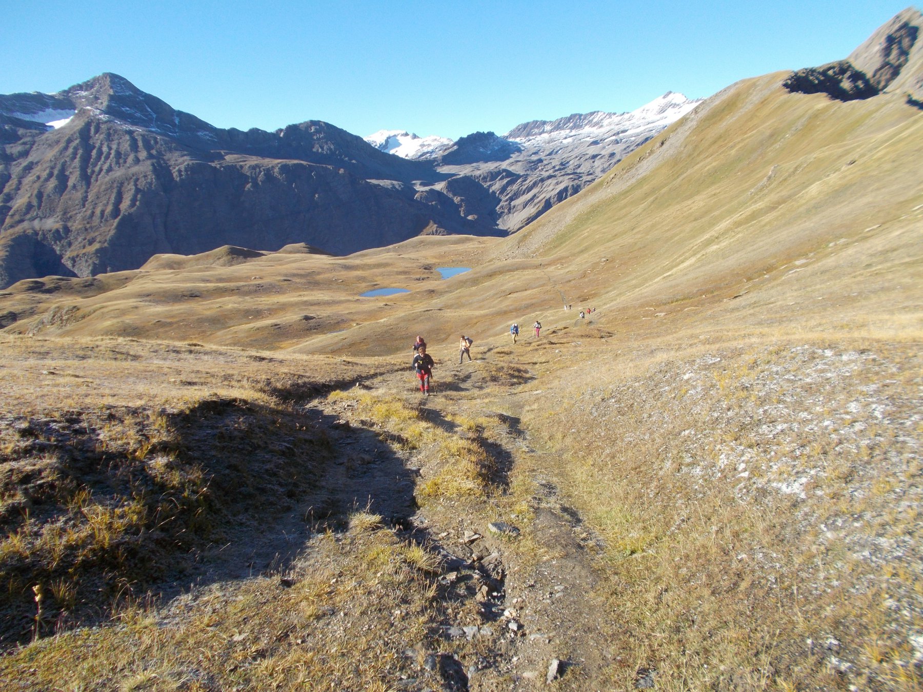
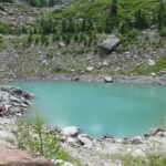
Da La Visaille raggiungere il Rifugio Elisabetta (2195 m.) su comoda strada (asfaltata e ripida fino al lago del Combal) e poi sterrata e pianeggiante lungo il bacino del Lago del Combal.
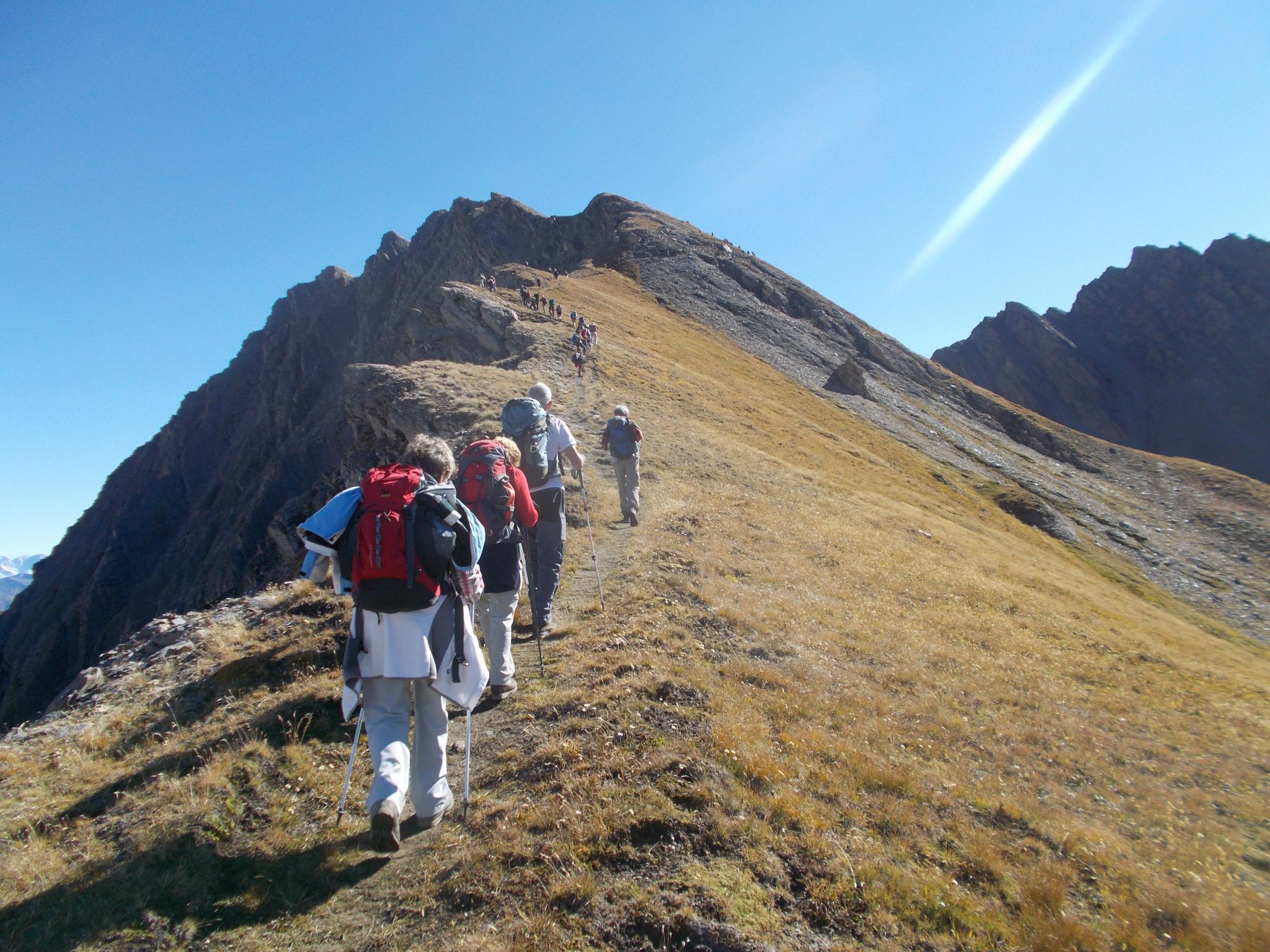
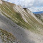
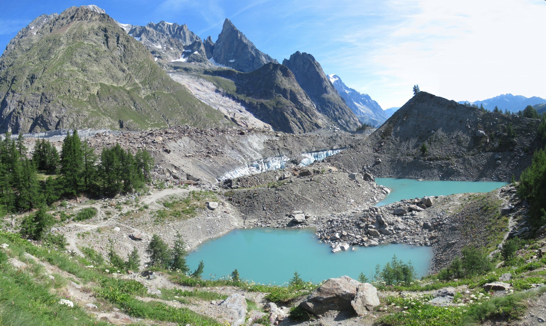
Dal rifugio Elisabetta m. 2195 si sale al col Chavannes m.2667, si prosegue per il mont Fortin m.2758 col sentiero tracciato sul versante di La Thuile , quindi si prosegue per il colle Berio Blanc m.2840 e di qui verso il colle Arp m.2571. Inizia qui la lunga discesa verso Dolonne su ottimo sentiero.
- Cartografia:
- T.C.I. Gruppo del Monte Bianco 1:50000
Nelle vicinanze Mappa
Itinerari
17/08/2025 AO, Courmayeur D+ 400 m E Sud-Est
Miage (Lago del) da La Visaille per il Lago Verde
 0m
0m
18/08/2020 AO, Courmayeur D+ 1450 m E Varie
Fortin (Mont) da la Visaille, anello per il Colle Youla
 0m
0m
22/07/2021 AO, Courmayeur D+ 1347 m EE/F Tutte
Favre (Mont) o Pointes des Charmonts da la Visaille
 0m
0m
24/07/2025 AO, Courmayeur D+ 333 m T Ovest
Miage (Lago del) da La Visaille per il Lago del Combal
 0m
0m
17/06/2023 AO, Courmayeur D+ 855 m E Ovest
Seigne (Col de la) da La Visaille
 0m
0m
23/08/2013 AO, Courmayeur D+ 700 m EE Sud
Miage (Ghiacciaio del) da La Visaille
 0m
0m
14/08/2021 AO, Courmayeur D+ 1388 m EE/F Sud
Rainetto Gino (Bivacco) da la Visaille
 0m
0m
06/08/2020 AO, Courmayeur D+ 800 m E Varie
Maison Vieille (Rifugio) da La Visaille, Balcone della Val Veny
 0m
0m
08/08/2019 AO, Courmayeur D+ 1050 m E Varie
Glaciers (Montagnes des) da la Visaille
 0m
0m
17/08/2025 AO, Courmayeur D+ 550 m T Sud-Est
Soldini Elisabetta (Rifugio) da La Visaille
 0m
0m