1.6Km
1.6Km
Note
 50m
50m
1Km
1.6Km
2Km
2.5Km
2.5Km
2.5Km
2.5Km
2.7Km
50m
50m
1Km
1.6Km
2Km
2.5Km
2.5Km
2.5Km
2.5Km
2.7Km
1.6Km
4.1Km
4.6Km
6Km
6Km
6.2Km
6.7Km
6.7Km
6.9Km
7.7Km
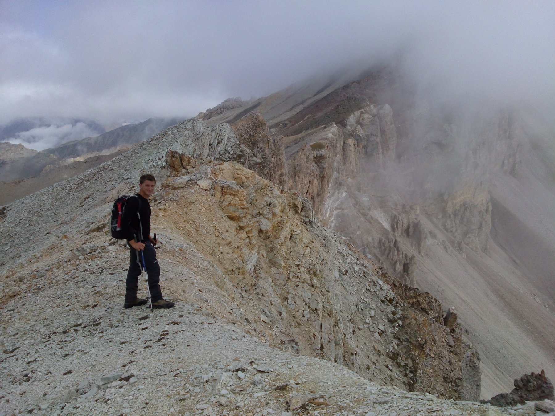
Utili i ramponi per il canale nevoso ad inizio stagione o anche in stagione avanzata. Si riesce comunque a salire su sfasciumi volendo
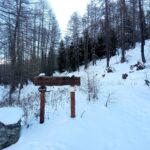
Avvicinamento
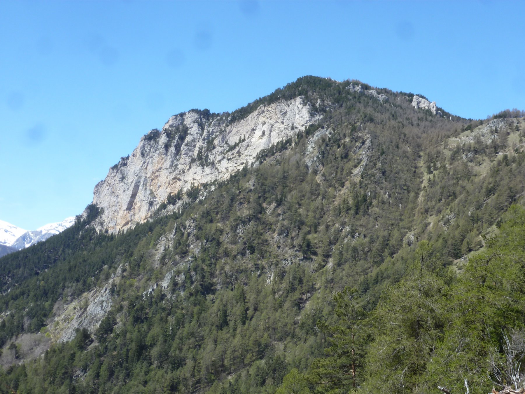
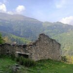
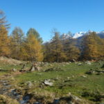
Da SS 24 si prede il bivio per la frazione Eclause. Giunti al paese si continua in direzione grange della valle e 300 metri dopi eclause sulla sinistra parte la strada sterrata ( a destra vi è un casottino dell'acquedotto. Si continua sulla strada sterrata principale tralasciando il bivio per le case garde ( vi è una sbarra). Si continua oltre la margaria poco sopra e si giunge alle grange Hubert dove finisce la strada
Descrizione
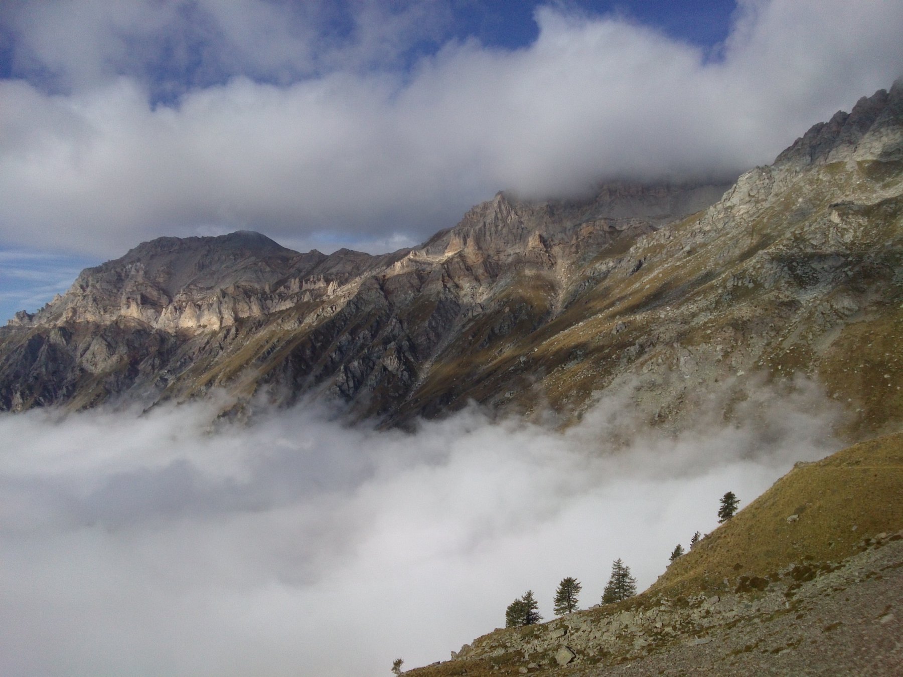
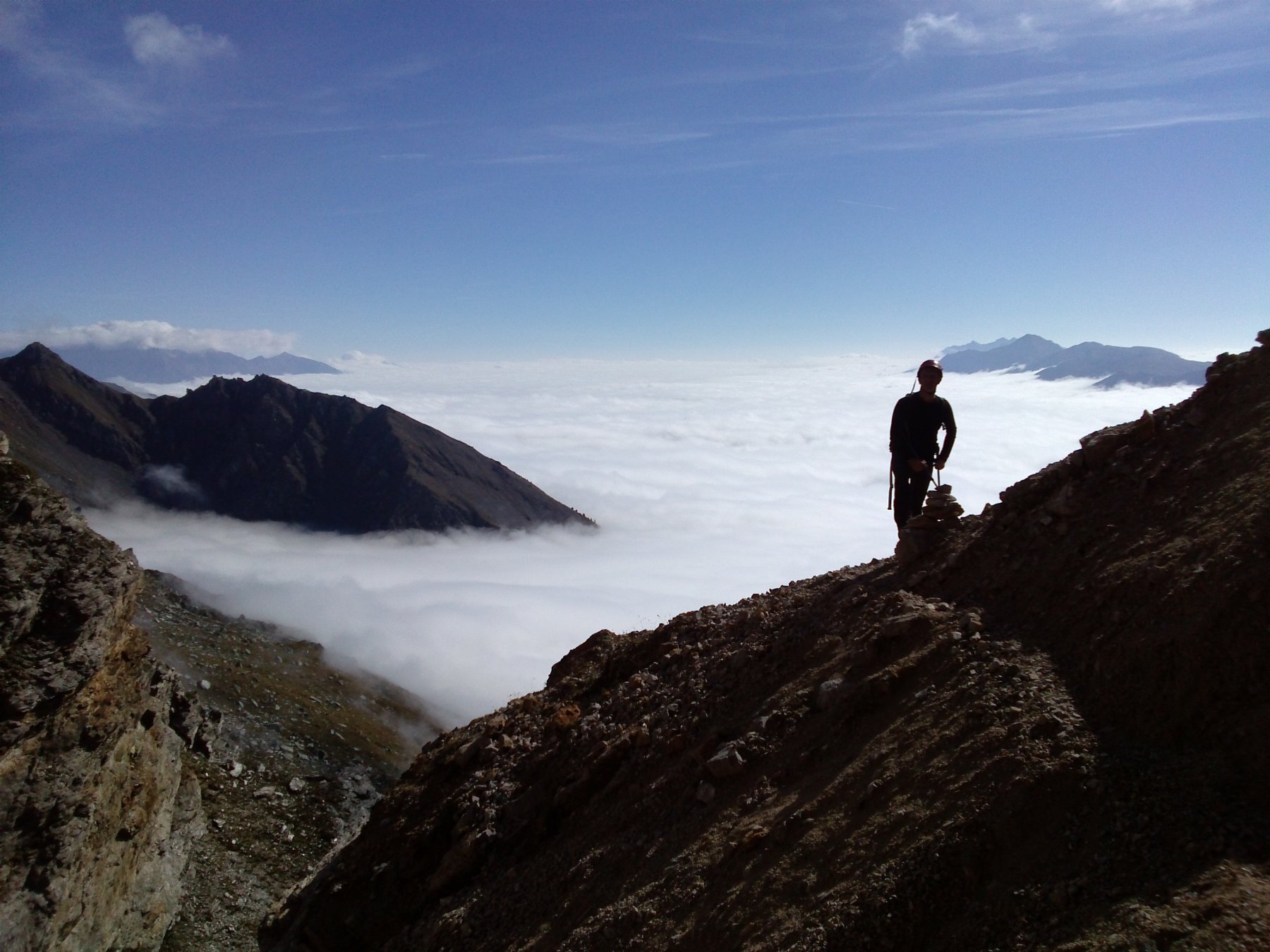
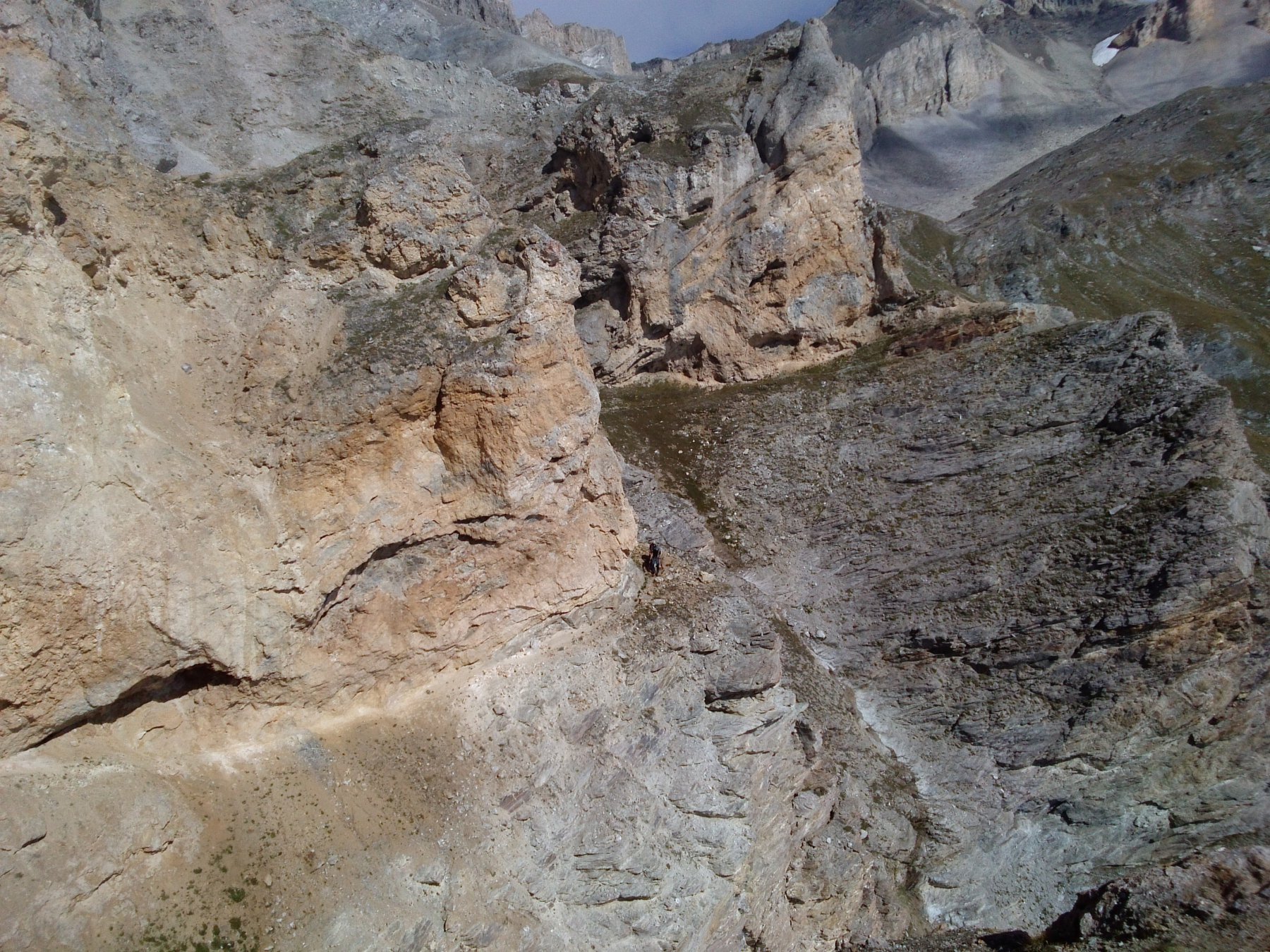
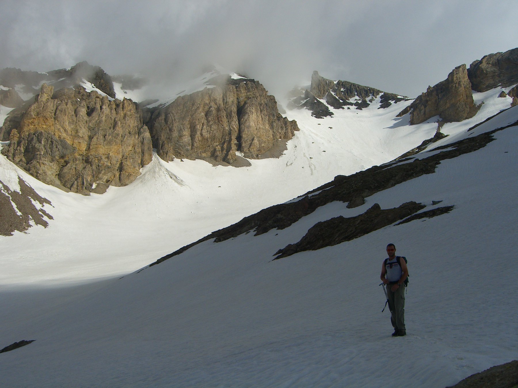
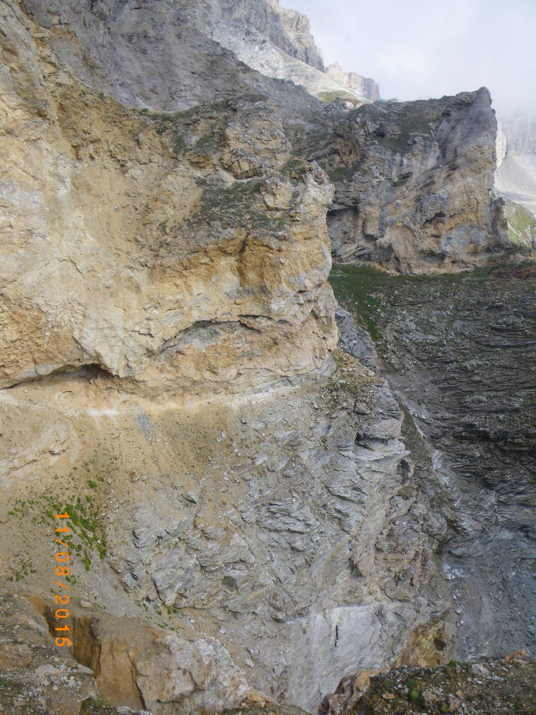
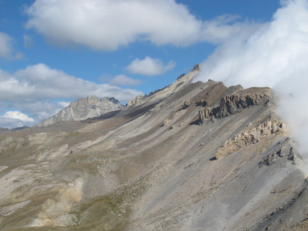
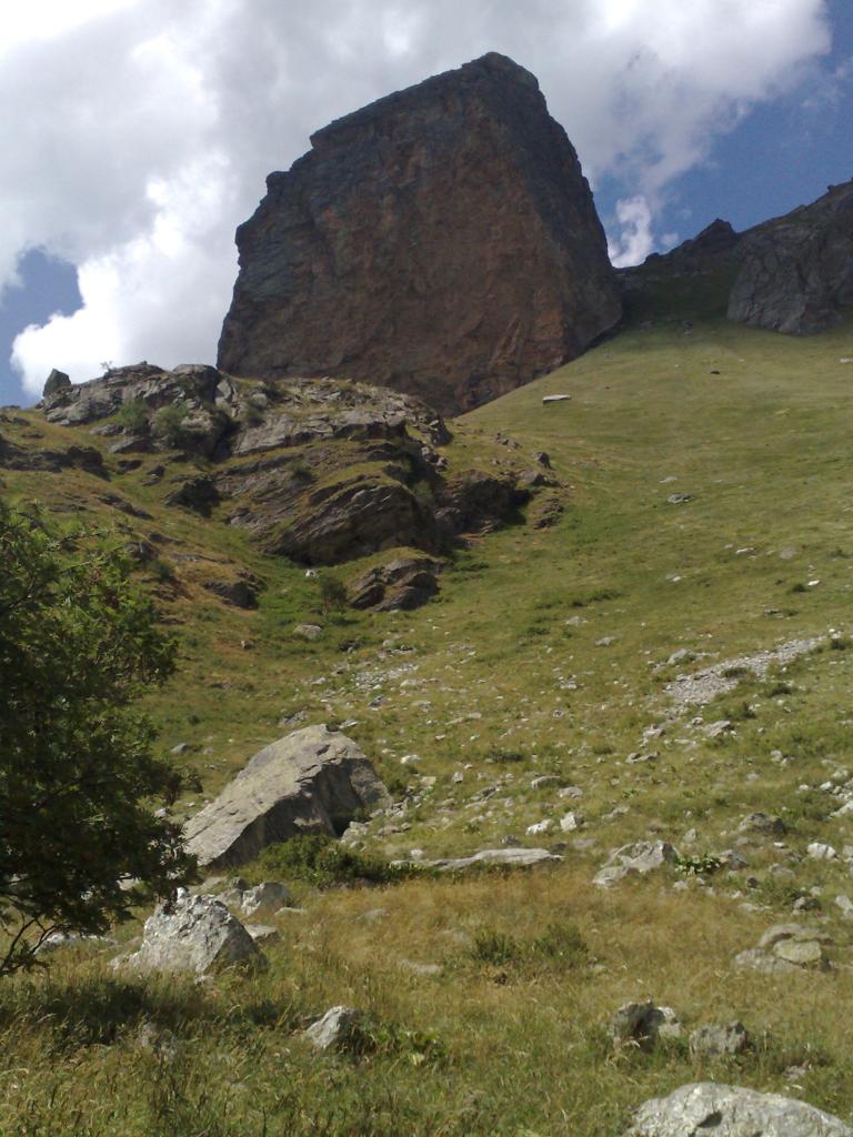
Da grange Hubert risalire dal sentiero che parte vicino all’ultima casa (verso Oulx), e che porta alla conca, fonte del rio gironda, chiamata Clo du Valun. Attraversare subito il Rio, e salire sul comodo sentiero che sale sulla sinistra. Dopo svarianti zig zag il sentiero si mette in falso piano fino a giungere dove vi è una lapide, intitolata ad un alpino caduto nel 1897 durante la costruzione di tale sentiero, denominato Via Rossa (La via rusa). (Dalla lapide il sentiero ‘via rossa’ continua sulla sinistra per giungere al colle dell’argentera) . Dalla lapide, lasciato il sentiero a sinistra, si risale per un ripido pendio 100 metri oltre il quale si vede la vetta e si è in ambiente fantastico delimitato a sinistra dalla cresta che dal Seguret si unisce al Vallonetto. Si continua in lieve pendenza puntando a sinistra della vetta, dove si vede un largo e intuitivo canalone di salita, ripido e su sfasciumi che si muovono in continuo, che ci porterà 150 metri a sinistra della vetta che si raggiunge con un traverso facile ma esposto per una decina di metri. NB Il canalone finale è solitamente innevato anche negli anni piu caldi, e la salita è più comoda nella neve ( eventuali rampini vista la pendenza) che non per gli sfasciumi
Nelle vicinanze Mappa
Itinerari
17/09/2017 TO, Salbertrand D+ 958 m EE/F Sud-Est
Argentera (Colle dell’) da Grange Hubert per la Via Rossa
 50m
50m
04/08/2018 TO, Salbertrand D+ 1200 m EE/F Sud-Est
Seguret (Monte) da Grange Hubert per la Via Rossa
 50m
50m
19/03/2022 TO, Salbertrand D+ 862 m E Sud
Pramand (Forte) da Moncellier
 1Km
1Km
24/03/2024 TO, Salbertrand D+ 408 m T Sud
Moncellier, Eclause (Frazioni) da Salbertrand, anello
 1.6Km
1.6Km
13/11/2025 TO, Salbertrand D+ 1299 m E Sud
Casses Blanches da Eclause
 2Km
2Km
09/04/2026 TO, Salbertrand D+ 720 m E Varie
Arlaud Daniele (Rifugio) da Salbertrand
 2.5Km
2.5Km
13/12/2020 TO, Salbertrand D+ 700 m E Est
Buissonière, Etanche (Case) da Salbetrand, anello del Gran Bosco
 2.5Km
2.5Km
26/04/2026 TO, Salbertrand D+ 1517 m E Nord-Ovest
Mottas (Testa di) da Salbertrand per il Rifugio Arlaud e il Col Lauson
 2.5Km
2.5Km
09/08/2012 TO, Salbertrand D+ 9500 m EE Nord
Troncea, Lago Verde, Jervis, Giacoletti, Melezè (Rifugi) traversata Valle di Susa – Val Varaita traversata (6 gg)
 2.5Km
2.5Km
26/10/2025 TO, Salbertrand D+ 743 m E Varie
Chabriere (Monte) da Selle Marre, anello per Grange della Valle
 2.7Km
2.7Km
Servizi
1.6Km
4.1Km
Levi Molinari Rifugio
Exilles
4.6Km
Arlaud Rifugio
Salbertrand
6Km
La Quadriglia Ristorante
Exilles
6Km
L’ultima stisa Ristorante
Exilles
6.2Km
Touplan Ristorante
Exilles
6.7Km
orto del frate Ristorante
Sauze d'Oulx
6.7Km
paddy mc ginty Ristorante
Sauze d'Oulx
6.9Km
L’Cantun B&B
Sauze D'oulx
7.7Km