1.8Km
1.8Km

Note
 50m
50m
50m
50m
50m
50m
50m
50m
50m
50m
50m
50m
50m
50m
50m
50m
50m
50m
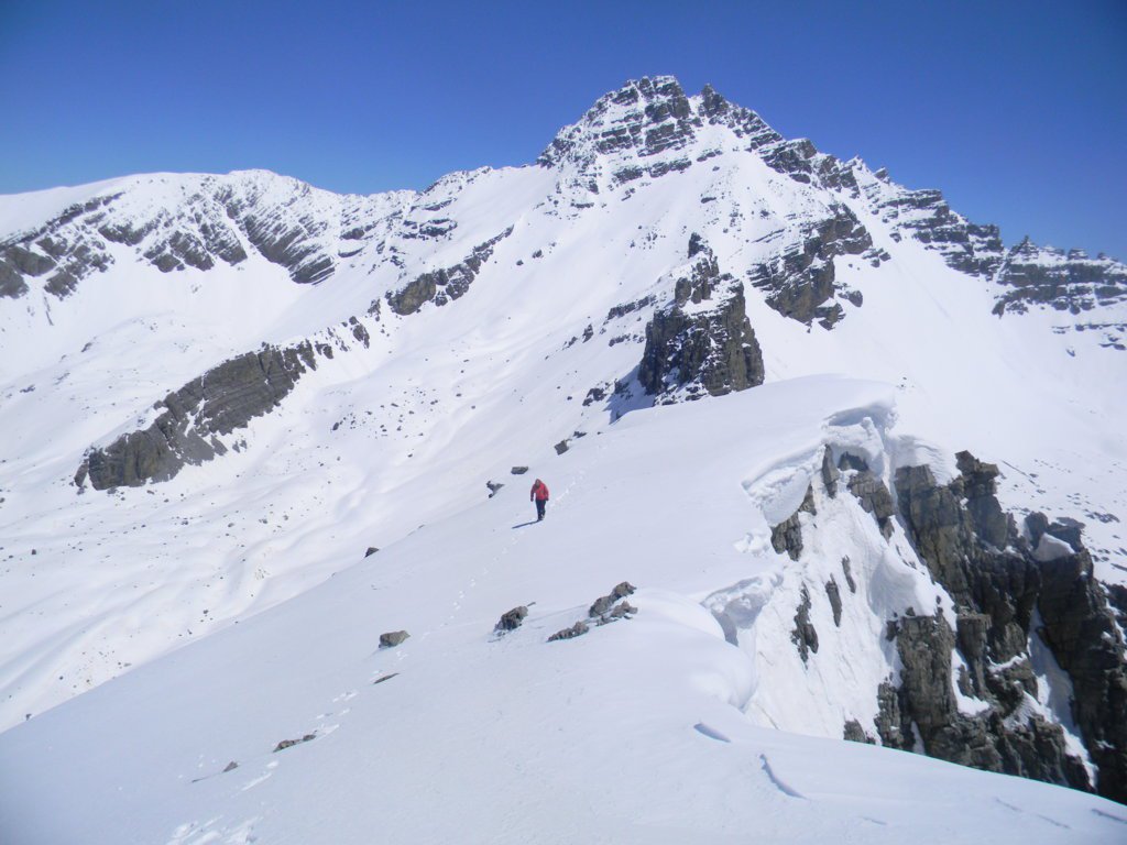
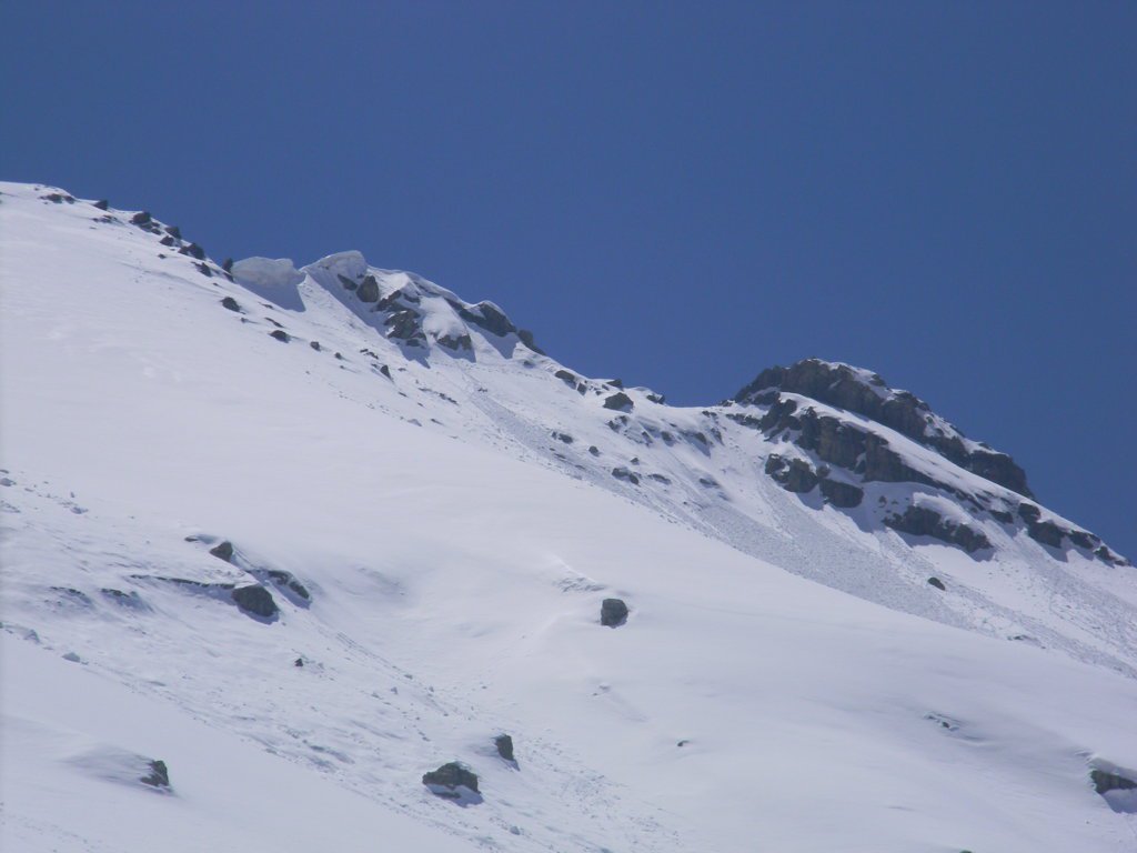
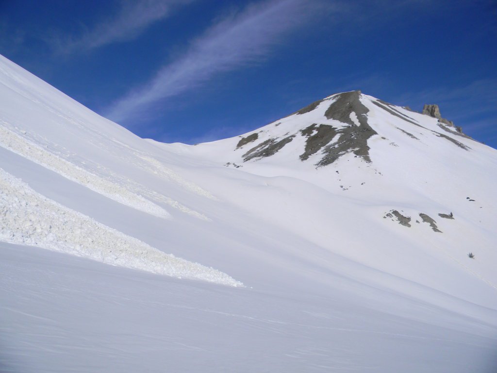
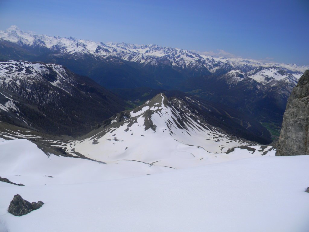
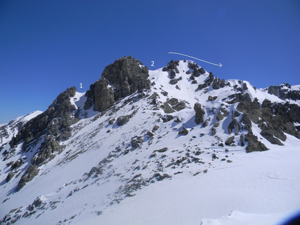
Posta tra il Col de l'Izoard e il Pic de Rochebrune, offre un panorma esteso sugli Ecrins e Queyras, limitato solo ad est dall'imponenza del Pic de Rochebrune. Il percorso di salita dal versante N alla cima da NO è una classica scialpinistica valutata OS.
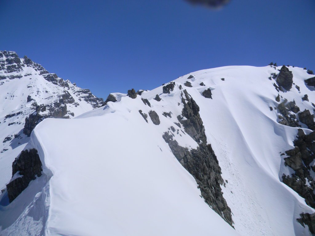
E' più diretta ma più ripida ed esposta.
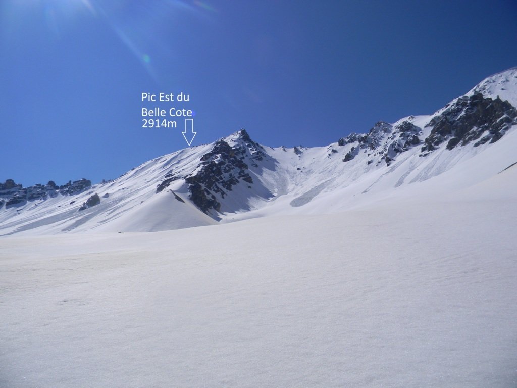
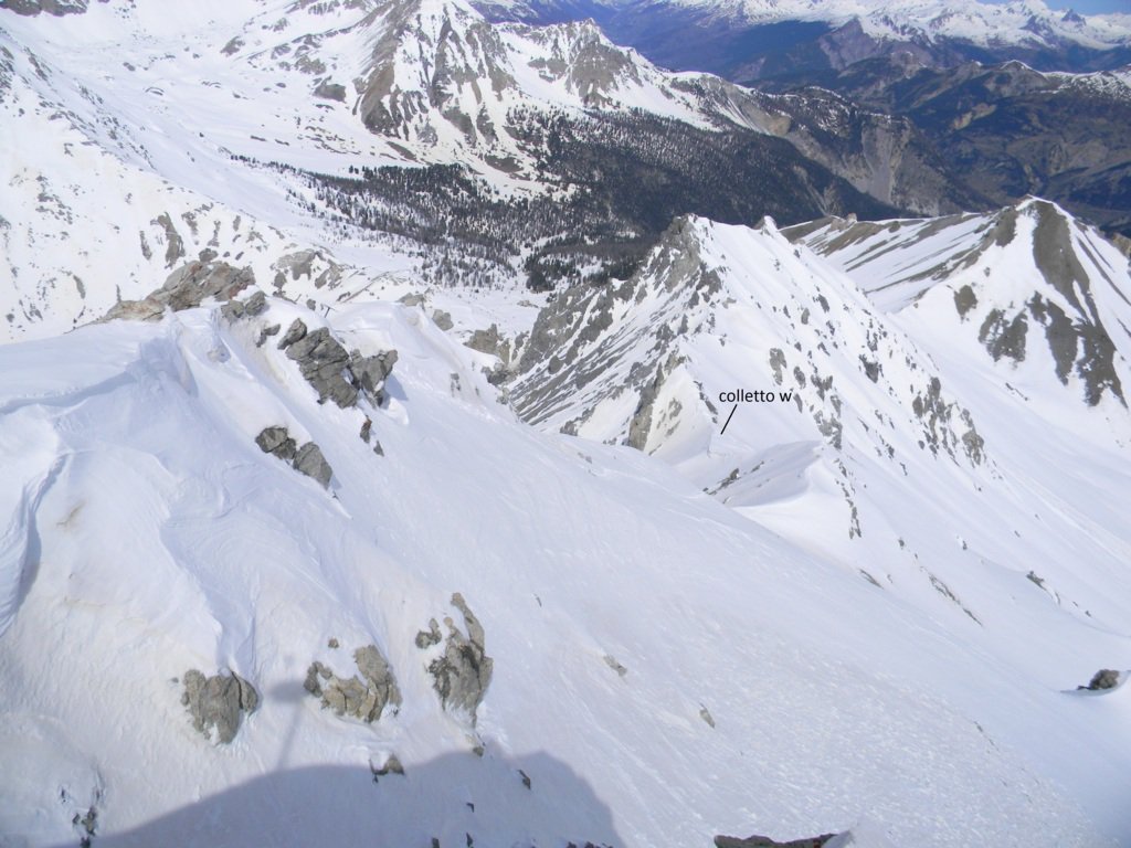
E' possibile raggiungere la vetta anche con percorso inverso, salendo in cima dal versante N meno ripido al colletto 2780 (altra meta classica scialpinistica), che sale a est della cima. Dal colletto la vetta è più distante ma la cresta è meno esposta. Si possono quindi percorrere i due itinerari in modo indipendente oppure effettuare l'anello proposto da O a E. Da intraprendere con condizioni di neve sicure, picca e ramponi indispensabili.
Avvicinamento
E' più diretta ma più ripida ed esposta.
E' possibile raggiungere la vetta anche con percorso inverso, salendo in cima dal versante N meno ripido al colletto 2780 (altra meta classica scialpinistica), che sale a est della cima. Dal colletto la vetta è più distante ma la cresta è meno esposta. Si possono quindi percorrere i due itinerari in modo indipendente oppure effettuare l'anello proposto da O a E. Da intraprendere con condizioni di neve sicure, picca e ramponi indispensabili.
Colle del Monginevro, Briançon, D902 verso il Col de l'Izoard, Cervières, Le Laus.
Descrizione
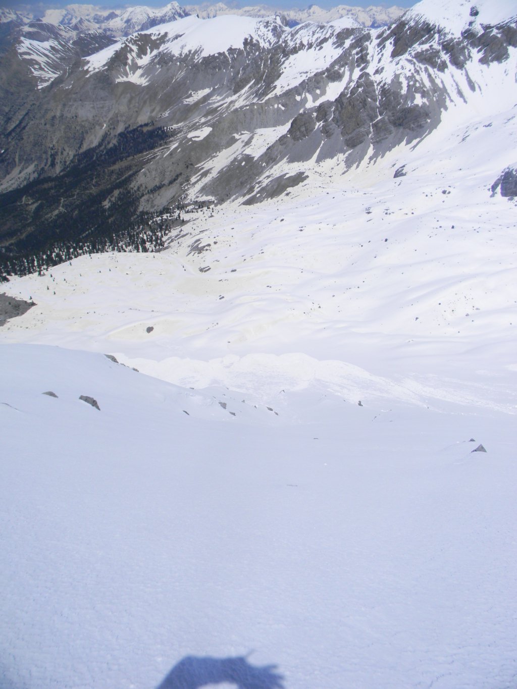
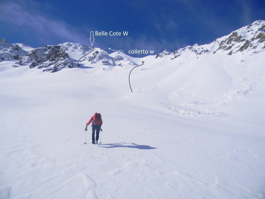
Da Le Laus seguire la pista da fondo che si inoltra nel vallone del Blétonnet. Verso quota 2050 (cartello), si piega verso destra (SSO) per superare il ripido Bois des Oules.
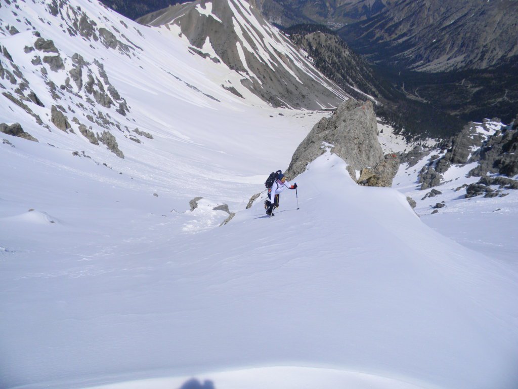
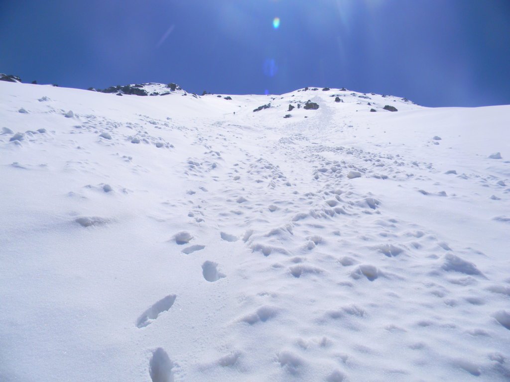
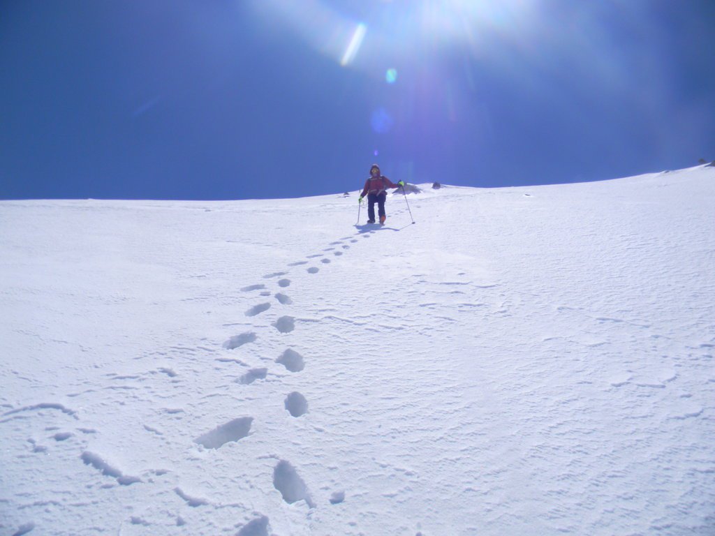
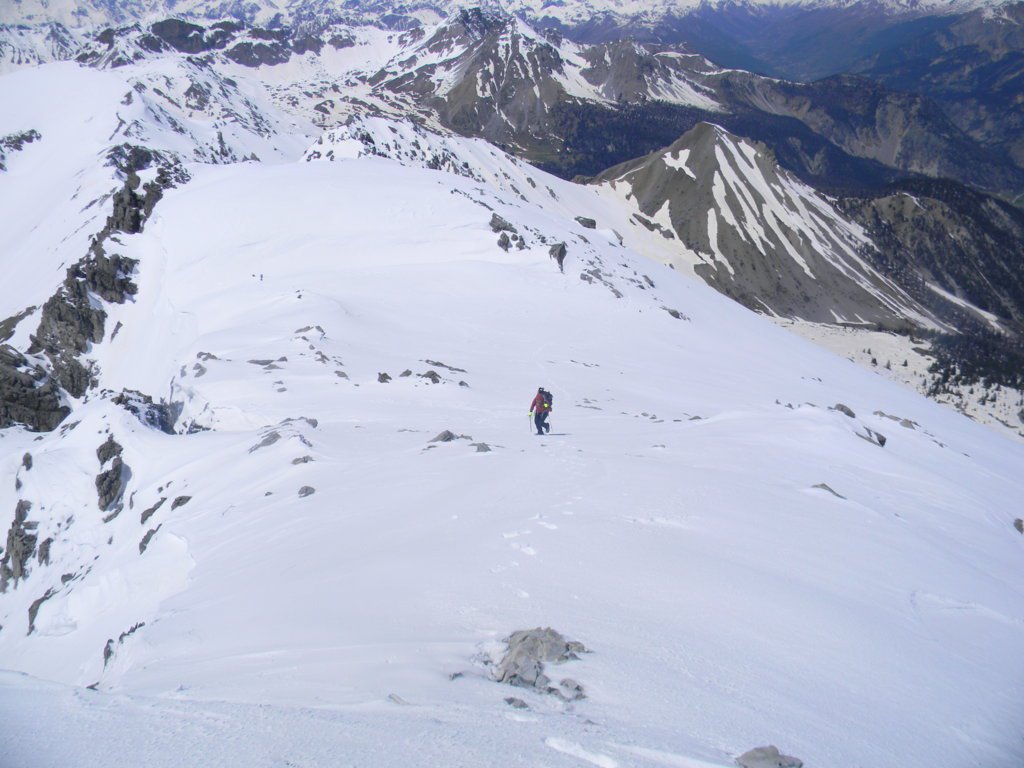
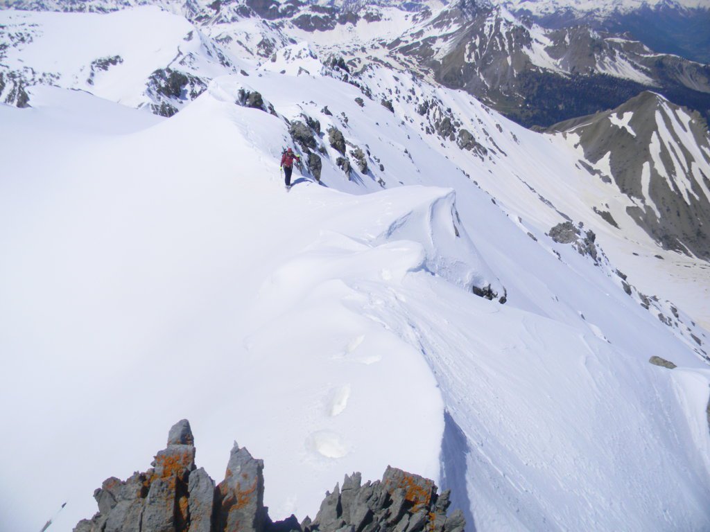
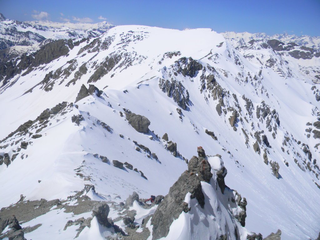
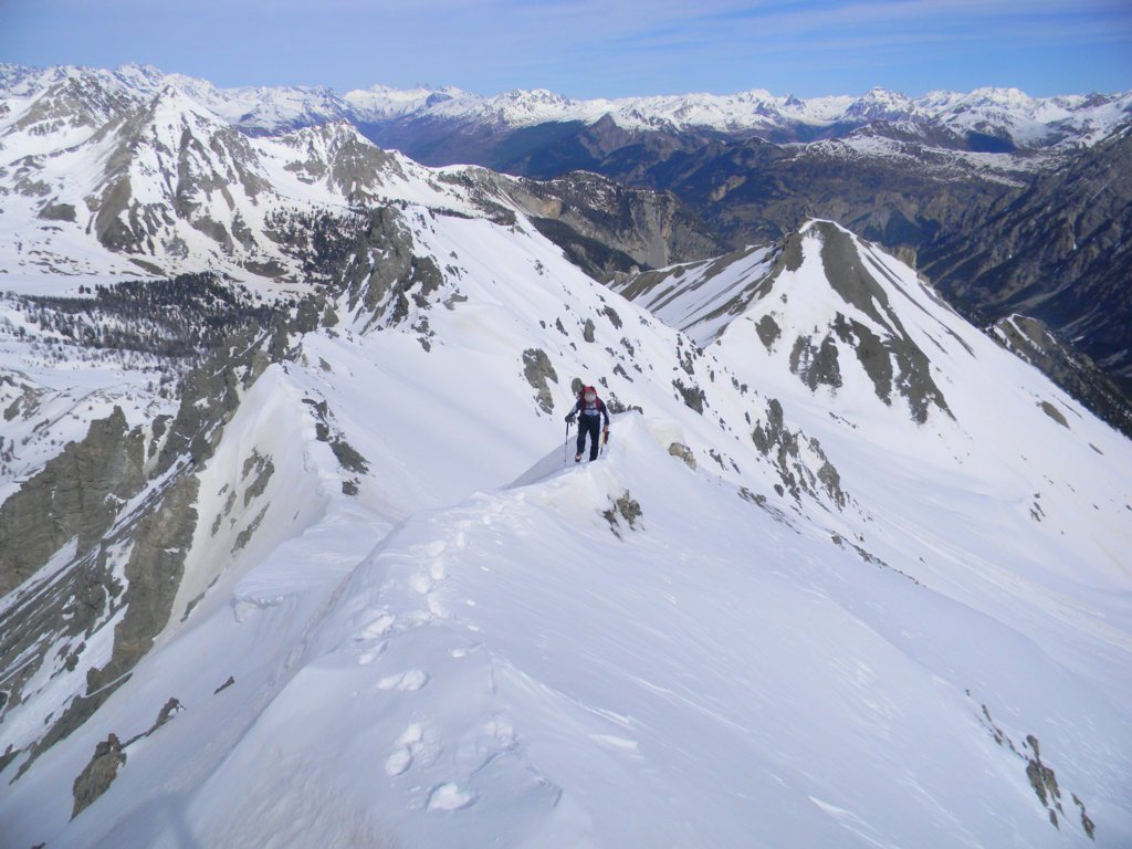
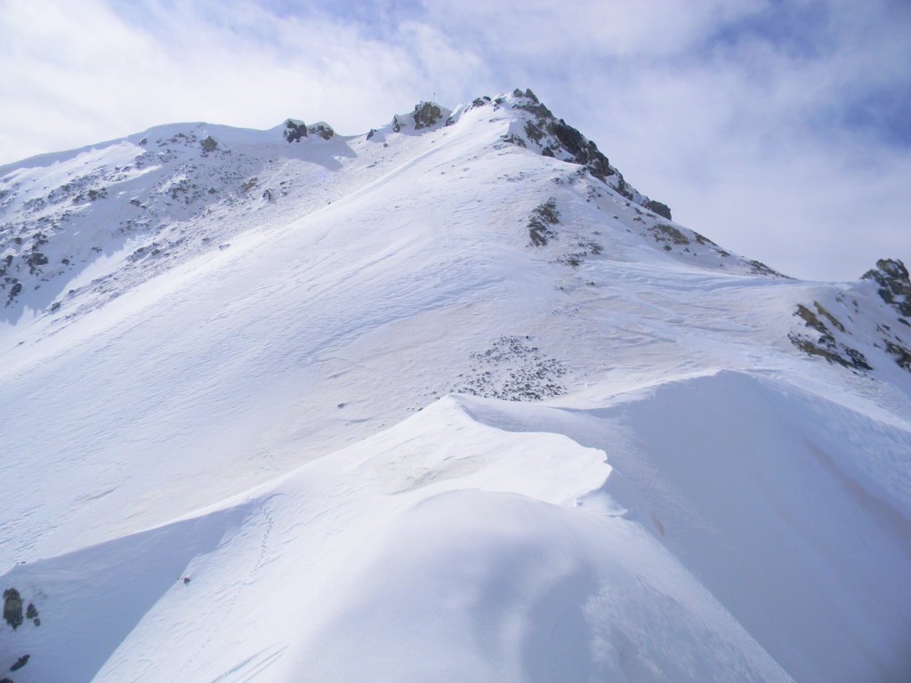
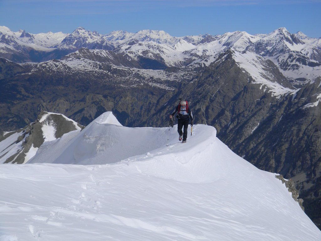
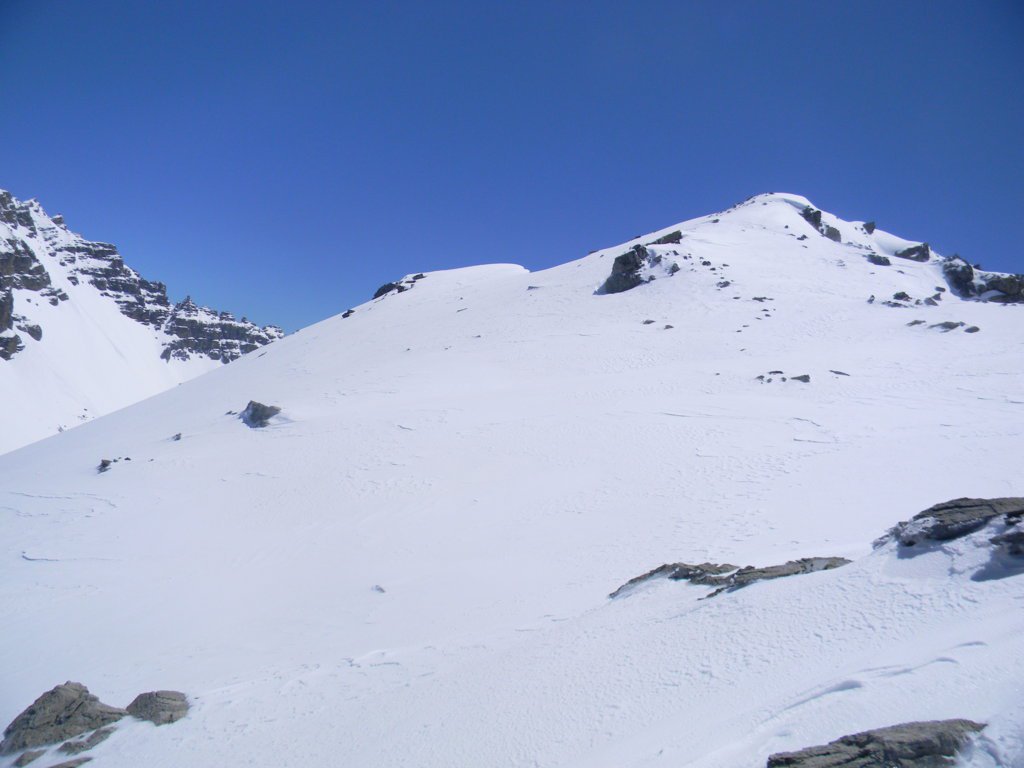
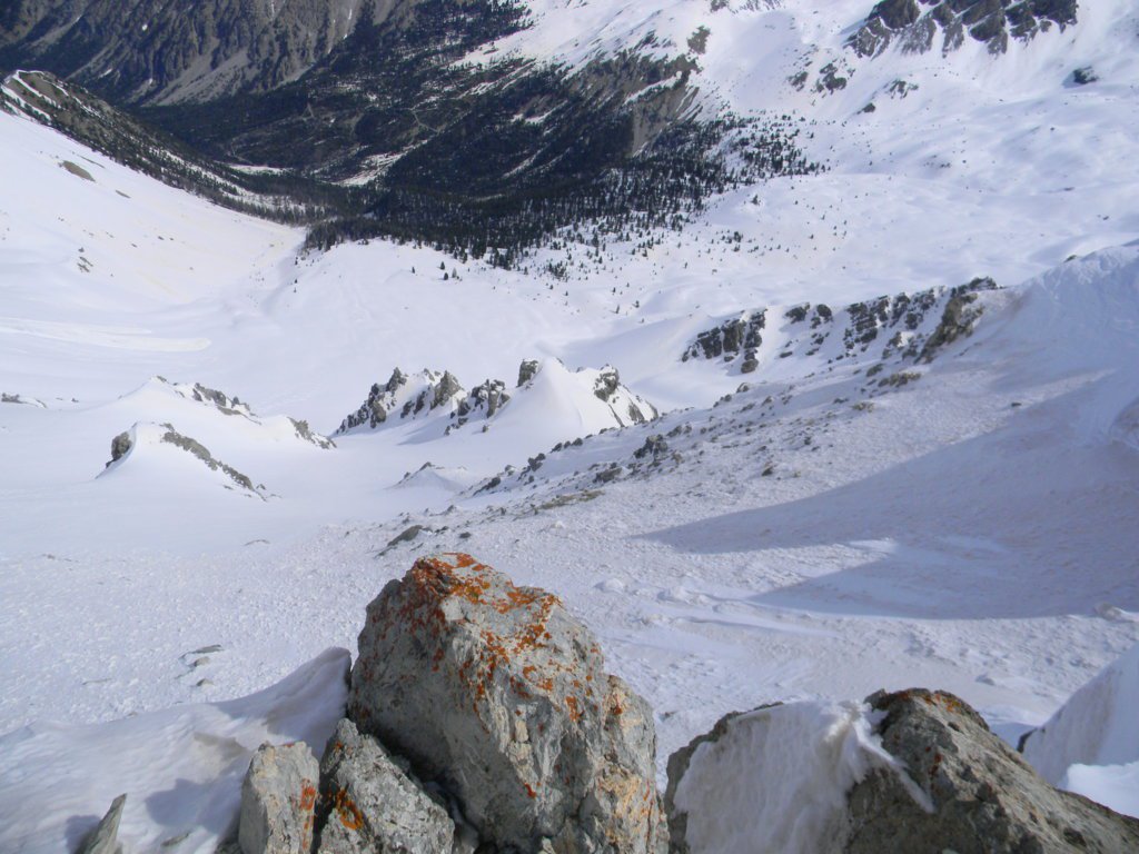
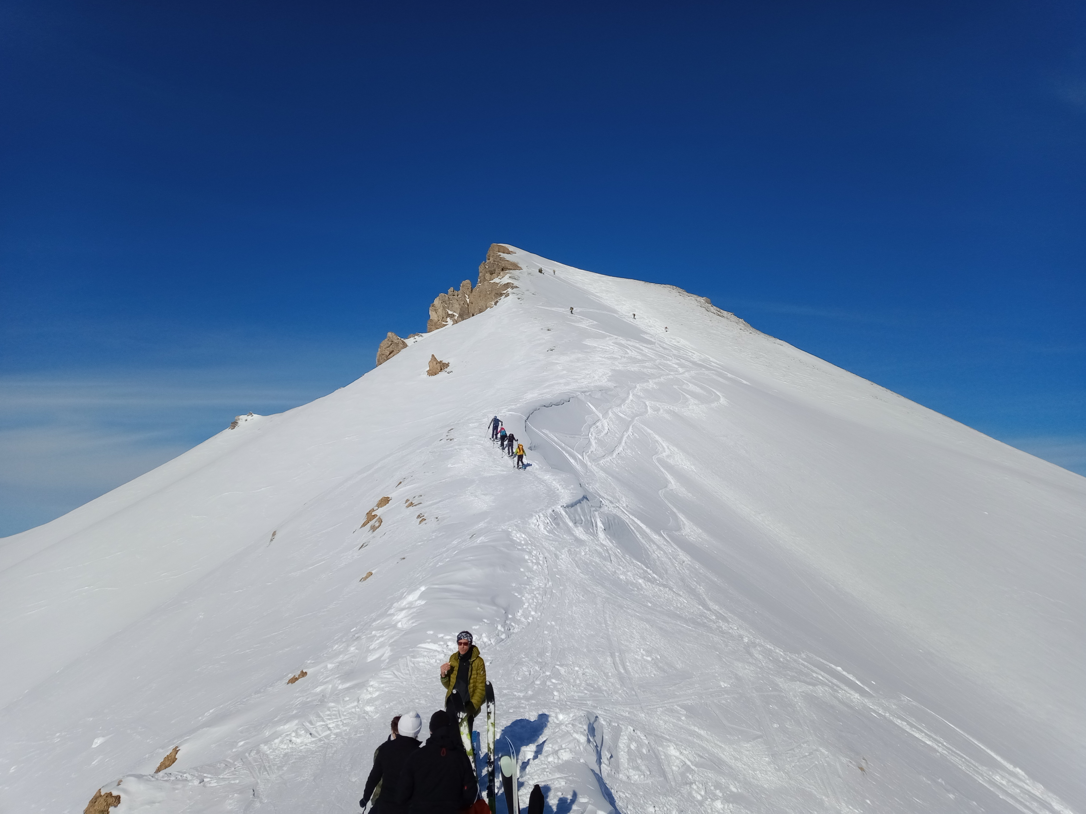
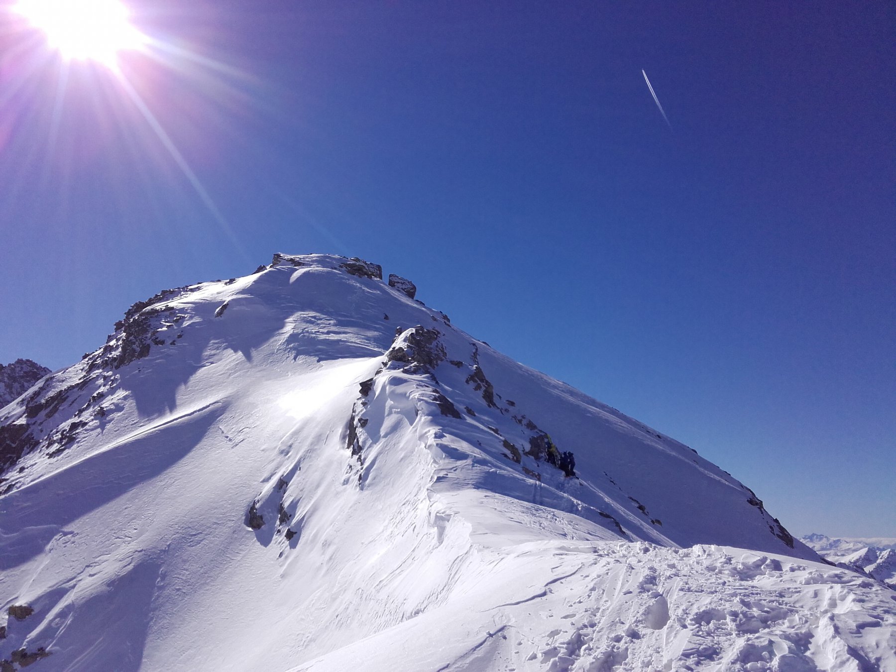
Oltre il bosco, proseguire verso S puntando al varsante N posto a ovest della cima e lo si risale fino ad uscire ad un colletto. Si prosegue in cresta che si fa sempre più ripida, a volte sul filo e a volte sulla sinistra, fino a raggiungere la vetta.
Discesa dallo stesso itinerario oppure si prosegue lungo la cresta E in direzione del Pic Est, percorrendone il filo o stando sui traversi lato sud, fino a raggiungere il colletto 2780. Si discende il sottostante versante N meno ripido di quello di salita e alla base del pendio ci si ricongiunge con il percorso di salita.
- Cartografia:
- IGN Briançon 3536OT
Nelle vicinanze Mappa
Itinerari
27/03/2025 Hautes-Alpes, Cervières D+ 700 m MR Nord
Ourdeis (Col des) da le Laus
 50m
50m
22/01/2012 Hautes-Alpes, Cervières D+ 734 m MR Nord
Perdu (Col) da Le Laus
50m
04/02/2024 Hautes-Alpes, Cervières D+ 887 m MR Sud
Peygus (Col des) da le Laus per gli Chalet de l’Izoard
 50m
50m
09/02/2025 Hautes-Alpes, Cervières D+ 859 m BR Nord
Arpelin (Cime de l’) da le Laus per il Col Perdù
 50m
50m
08/12/2014 Hautes-Alpes, Cervières D+ 987 m BRA, F Nord
Clot la Cime versante NO
 50m
50m
01/01/2020 Hautes-Alpes, Cervières D+ 650 m MR Nord
Creux du Loup da le Laus per le Bois de Pemeant
 50m
50m
31/03/2019 Hautes-Alpes, Cervières D+ 650 m MR Nord-Ovest
Izoard (Col d’) da le Laus per le Bois des Fontenilles
 50m
50m
25/01/2015 Hautes-Alpes, Cervières D+ 550 m BR Est
Loubatieres (Bois de) da Le Laus
 50m
50m
19/02/2017 Hautes-Alpes, Cervières D+ 1265 m BR Ovest
Turge de la Suffie da le Laus
 50m
50m
25/12/2016 Hautes-Alpes, Cervières D+ 400 m MR Nord-Ovest
Oules (Cascade des) da le Laus
 50m
50m