2.6Km
2.6Km
Note
 50m
550m
550m
650m
650m
650m
2Km
2Km
2Km
2Km
50m
550m
550m
650m
650m
650m
2Km
2Km
2Km
2Km
2.6Km
6Km
6Km
6.2Km
6.9Km
7.3Km
7.6Km
7.6Km
7.6Km
8.2Km
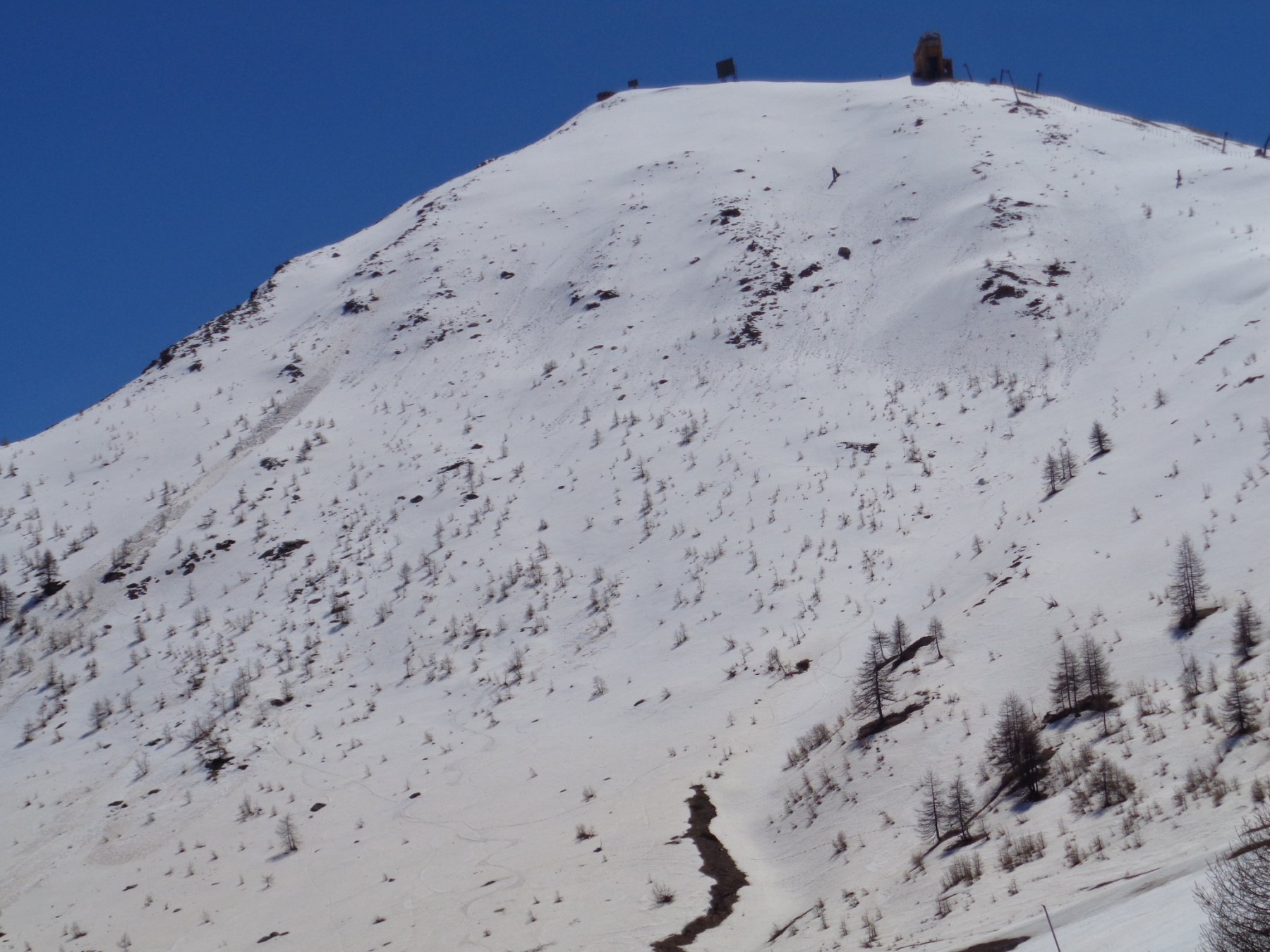
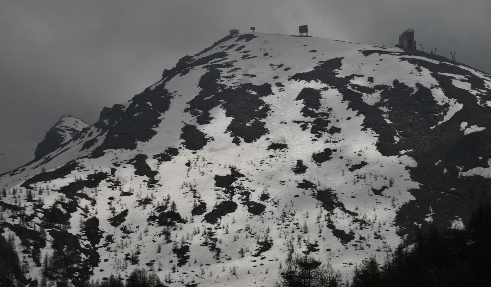
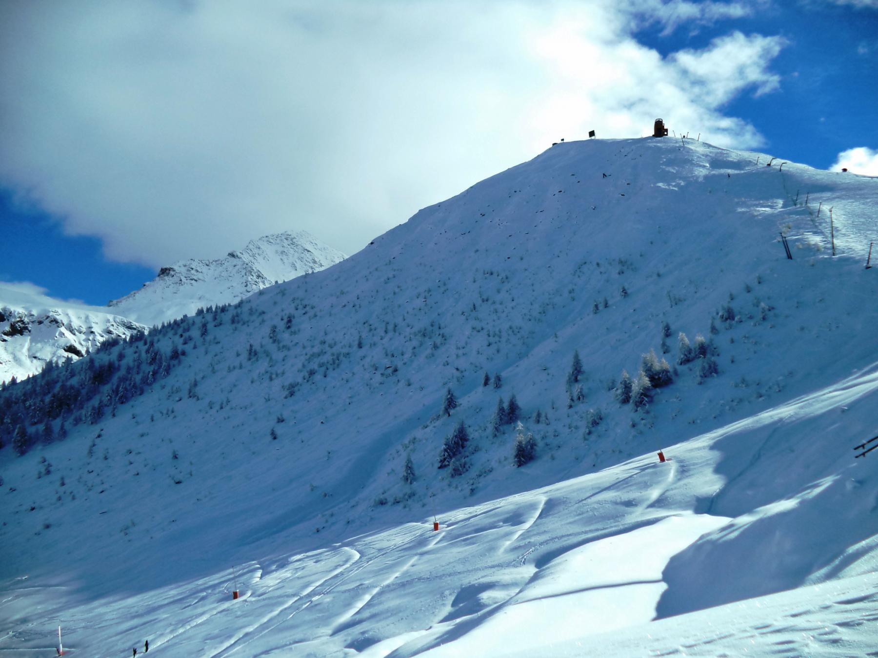
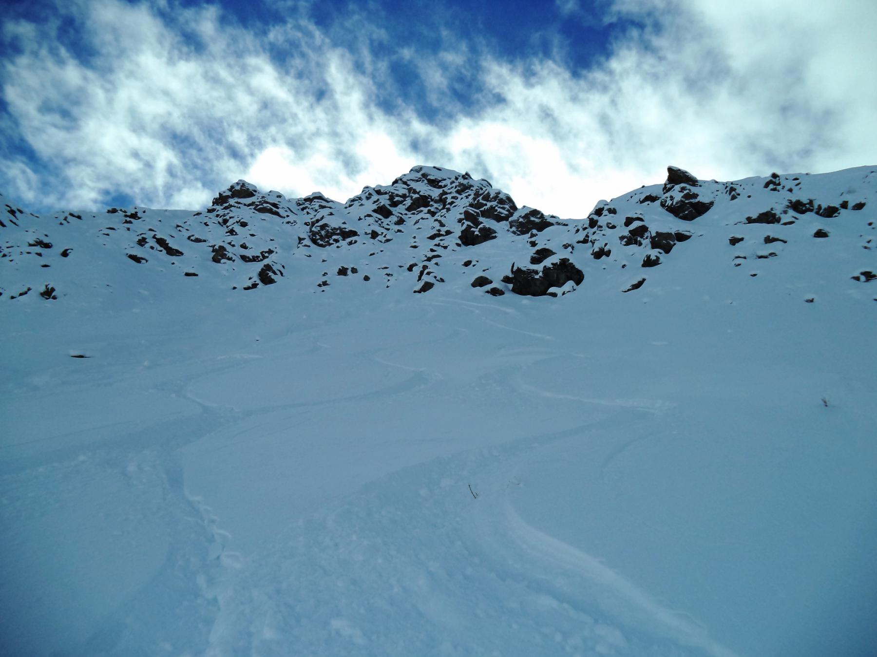
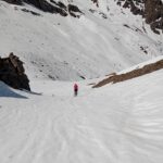
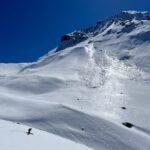
Breve ma intensa e ripida paretina, da scendere in condizioni di neve assolutamente sicura e con impianti chiusi (fine stagione o primavera inoltrata). Molto pericolosa nel periodo invernale, solitamente sottovento, questo pendio provoca spesso numerose slavine che costringono a volte a chiudere la pista che passa ai piedi dello stesso (300 m a 30°, 100 m. 40/45 costanti(3.3E1) poi si abbatte verso l'uscita).Da non sottovalutare con neve dura.
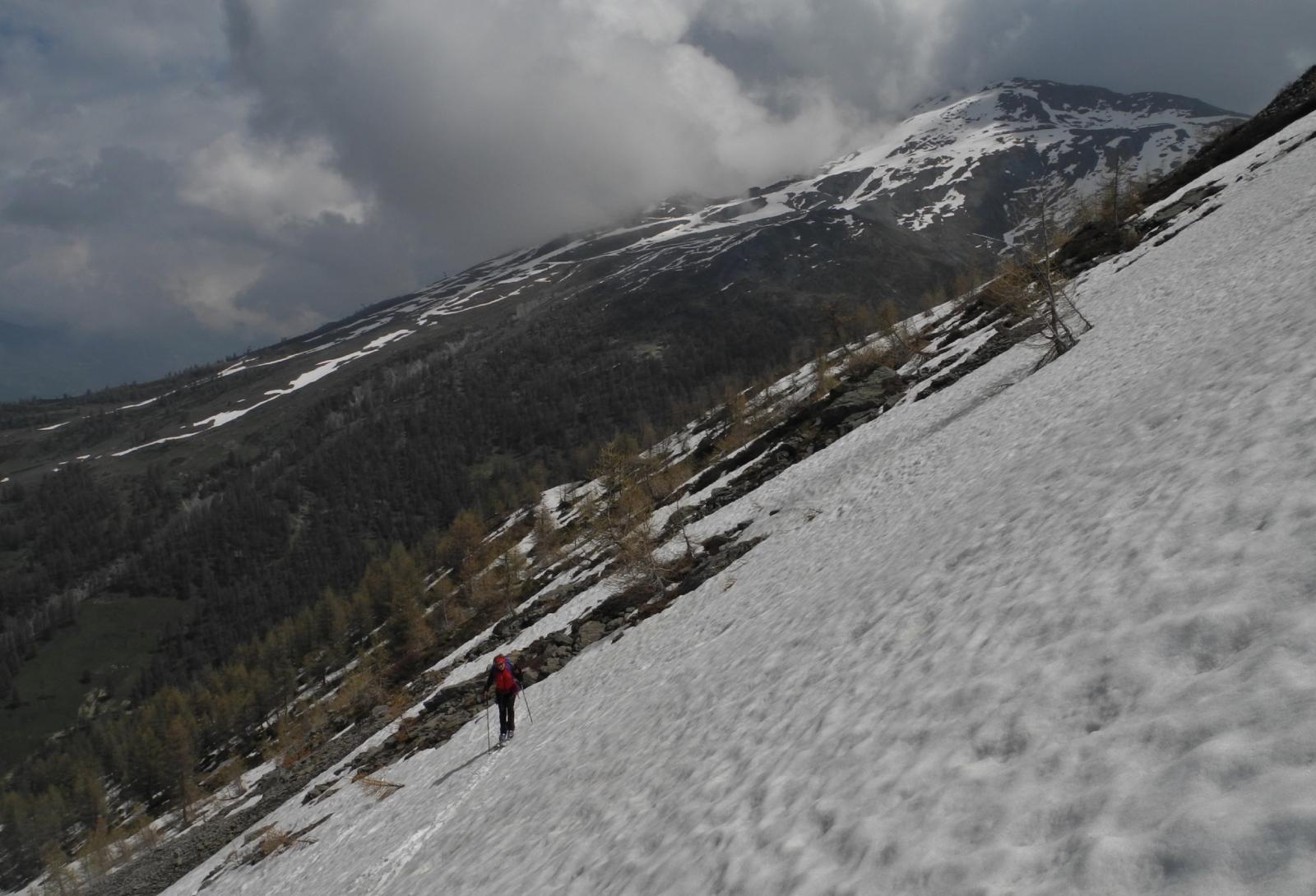
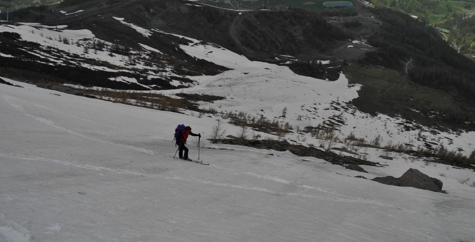
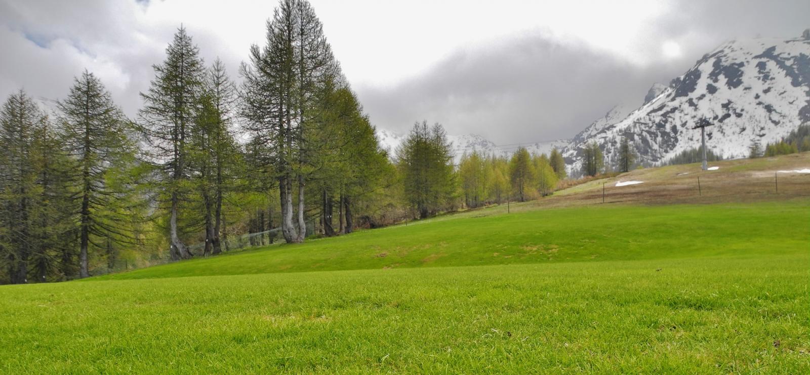
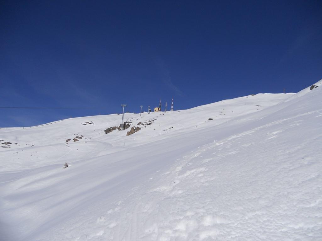
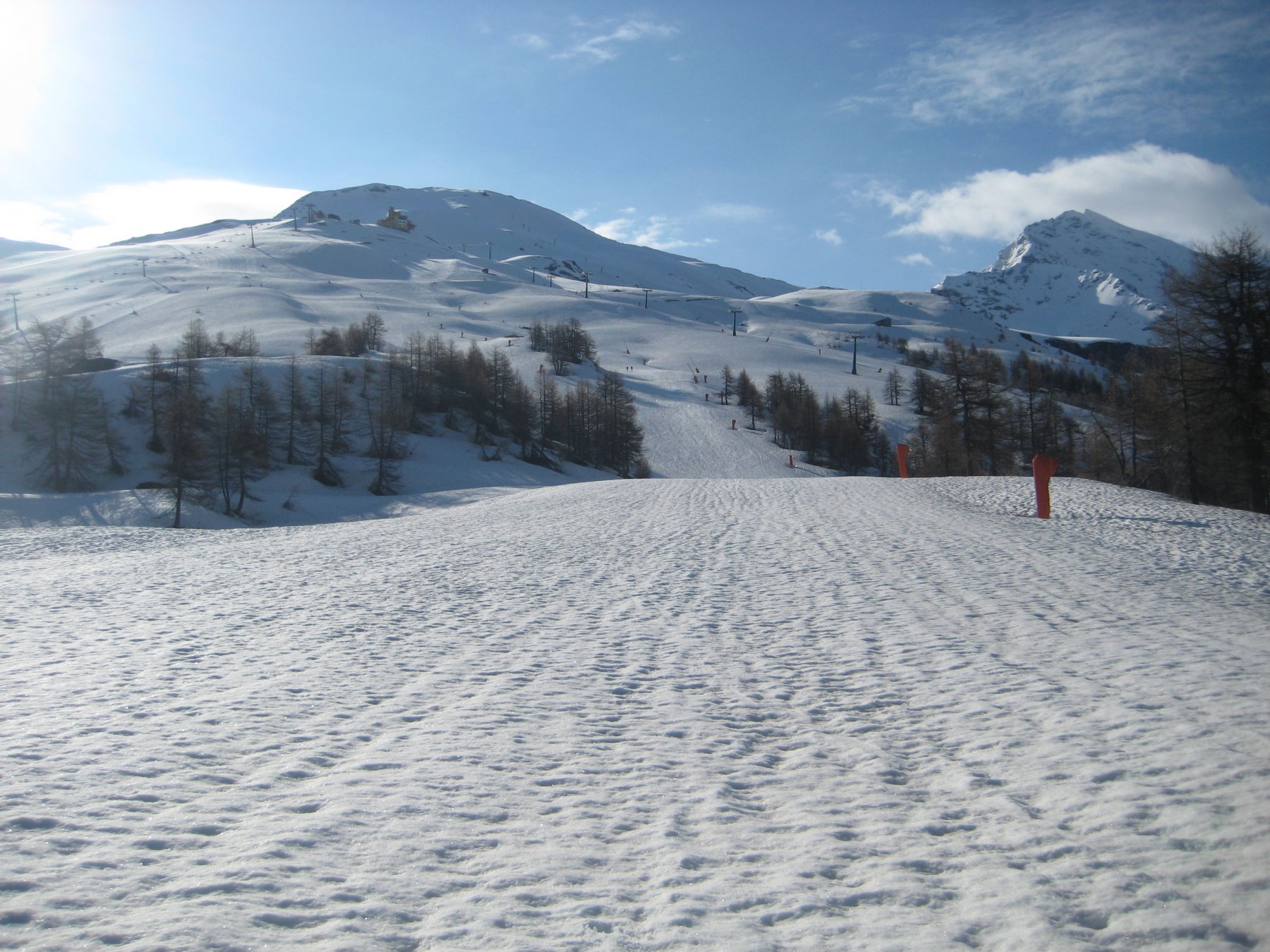
Avvicinamento
si accede comodamente passando lungo la pista che fiancheggia il bacino, oppure dal sentiero che conduce nel bacino del Chisonetto deviando poi subito a destra per portarsi ai piedi del ripido pendio nordest
Descrizione
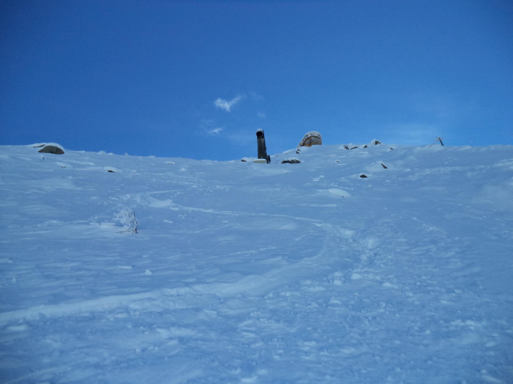
Si sale il pendio a sx. dell’incavo più accentuato puntando ad un canalino fra piccoli e radi larici piegati dalle valanghe invernali. Il tratto più ripido conviene salirlo a piedi, uscendo diretti sotto il ripetitore più basso.Da qui in breve al casotto della cima.
- Cartografia:
- Fraternali 1:25000 n.2 Alta Valle di Susa, Val Chisone
Nelle vicinanze Mappa
Itinerari
15/05/2025 TO, Sestriere D+ 700 m OS Nord-Est
Querellet (Monte) da Sestriere
 50m
50m
09/05/2026 TO, Sestriere D+ 623 m MS Nord-Ovest
Sises (Monte) da Sestriere
 550m
550m
25/04/2022 TO, Sestriere D+ 1160 m BS Ovest
Rognosa del Sestriere (Punta) spalla 3160 m Canale Ovest
 550m
550m
07/04/2026 TO, Sestriere D+ 493 m MS Sud-Ovest
Treceira (Costa) da Sestriere per il Col Basset
 650m
650m
01/02/2024 TO, Sestriere D+ 700 m MS Sud
Fraiteve (Monte) da Sestriere
 650m
650m
27/12/2022 TO, Sestriere D+ 513 m MS Sud-Ovest
Aigle (Pitre de l’) da Sestriere per il Vallon Croux
 650m
650m
25/04/2026 TO, Sestriere D+ 850 m BS Nord-Ovest
Banchetta (Passo della) da Sestriere Borgata per il Vallone del Chisonetto
 2Km
2Km
09/05/2026 TO, Sestriere D+ 1000 m MS Ovest
Banchetta (Monte) o Monte Motta da Sestriere Borgata
 2Km
2Km
23/05/2026 TO, Sestriere D+ 1440 m BS Nord
Rognosa del Sestriere (Punta) da Borgata Sestriere
 2Km
2Km
18/04/2026 TO, Sestriere D+ 1000 m MS Ovest
Banchetta (Monte) da Sestriere Borgata per la Diga del Chisonetto
 2Km
2Km
Servizi
2.6Km
6Km
Al Mulino Ristorante
Pragelato
6Km
La capanna del sole Ristorante
Pragelato
6.2Km
Mulino di Laval Rifugio
Pragelato
6.9Km
Centro Ristorante
Cesana Torinese
7.3Km
La Fontana del Thures Rifugio
Cesana Torinese
7.6Km
da Carlo Rifugio
Cesana Torinese
7.6Km
La Tana degli Orsi B&B
Cesana Torinese
7.6Km
La Crota B&B
Cesana Torinese
8.2Km