3.3Km
3.3Km
Note
 550m
1.5Km
2.6Km
3.4Km
3.4Km
3.4Km
3.4Km
3.4Km
3.7Km
6.5Km
550m
1.5Km
2.6Km
3.4Km
3.4Km
3.4Km
3.4Km
3.4Km
3.7Km
6.5Km
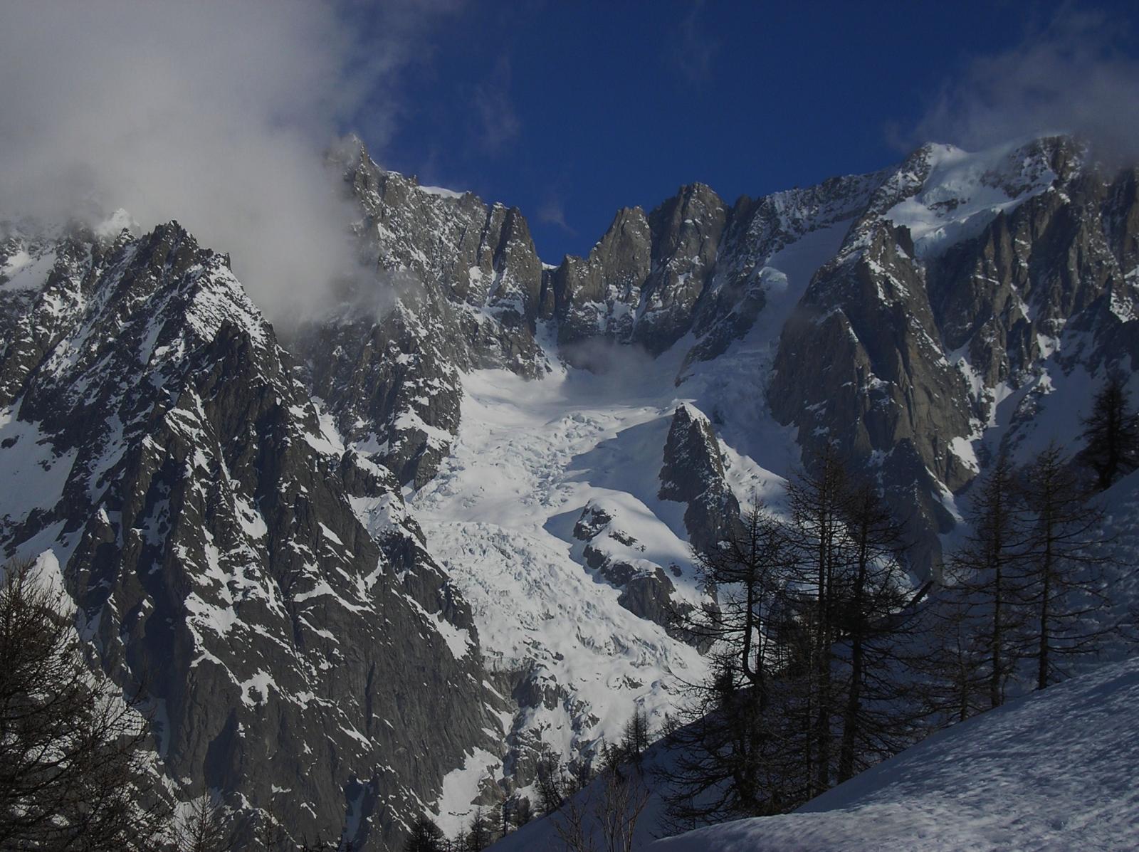
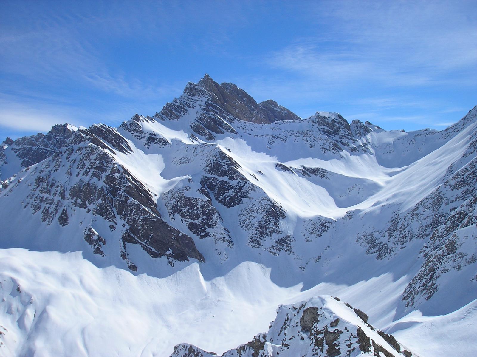
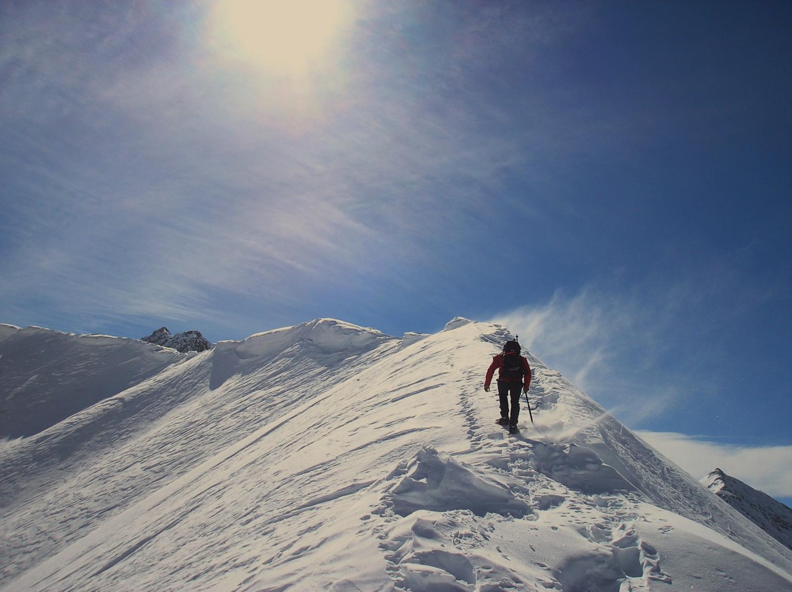
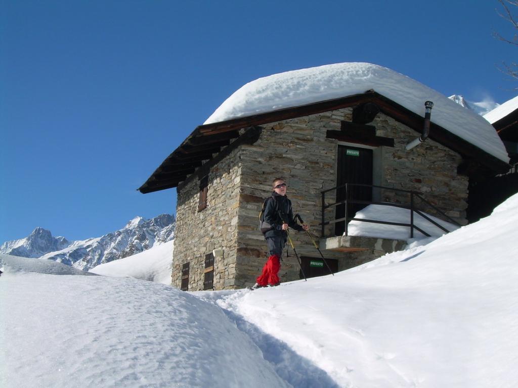
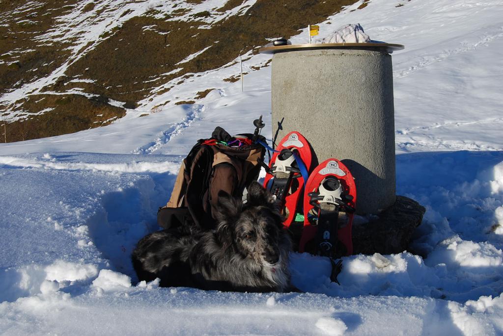
le condizioni della neve in questa gita hanno la loro importanza e quindi e' meglio avere con se i ramponi che in caso di neve dura possono venire utili
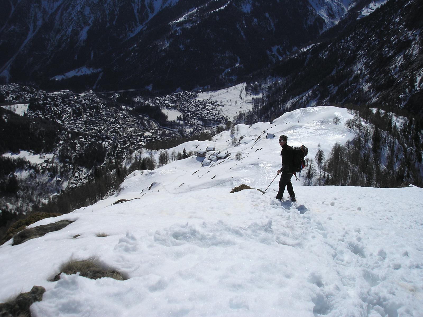
Avvicinamento
Aosta, courmayeur, Villair
Descrizione
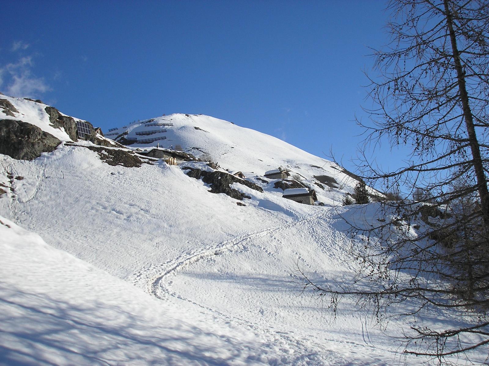
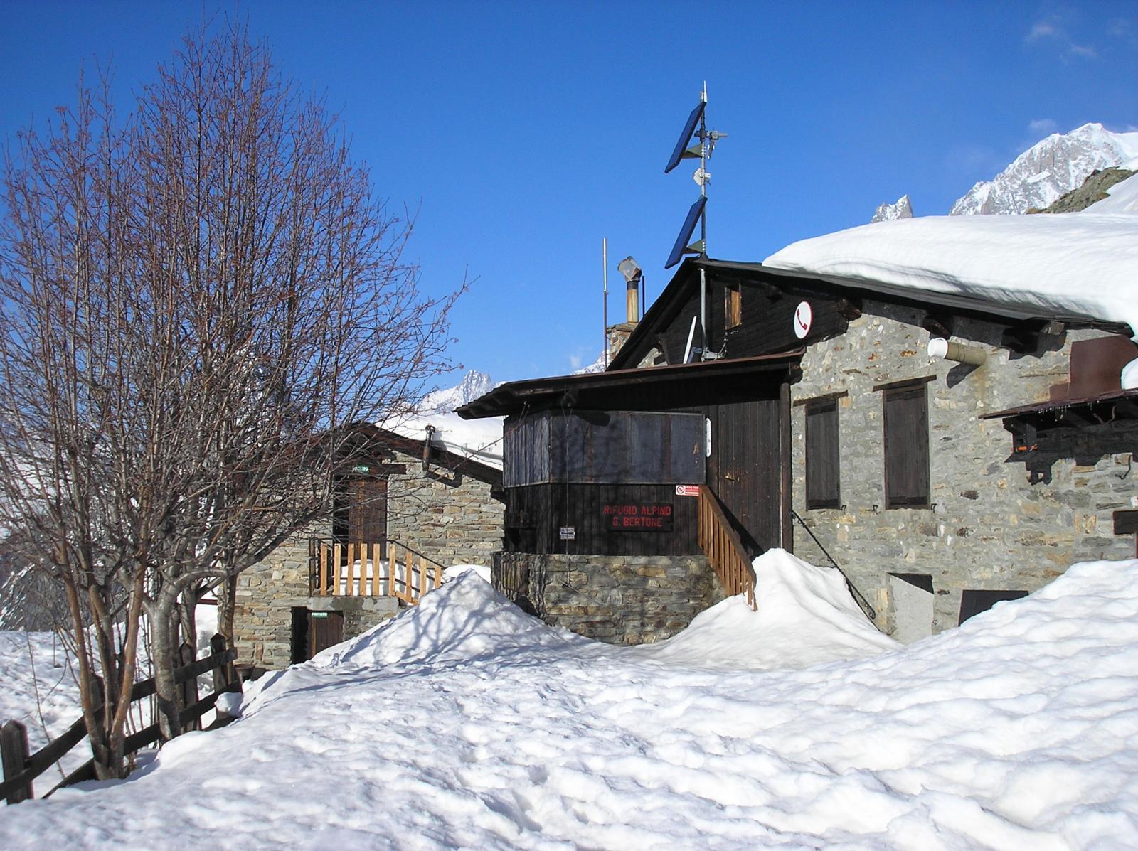
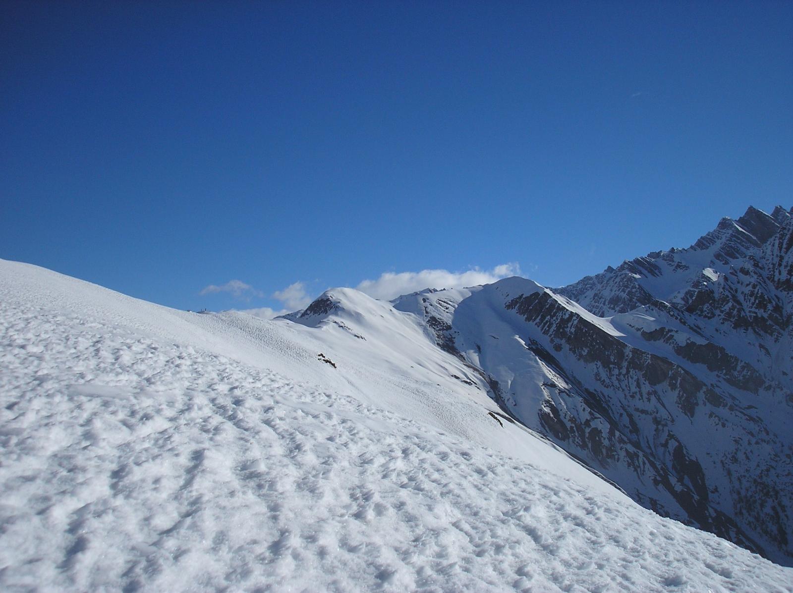
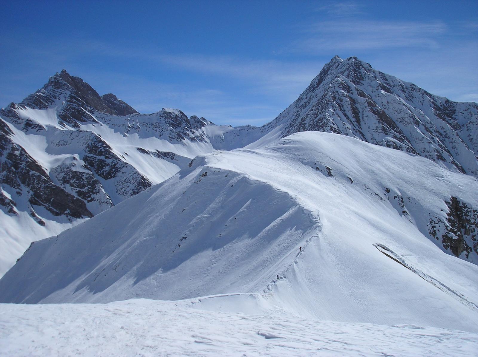
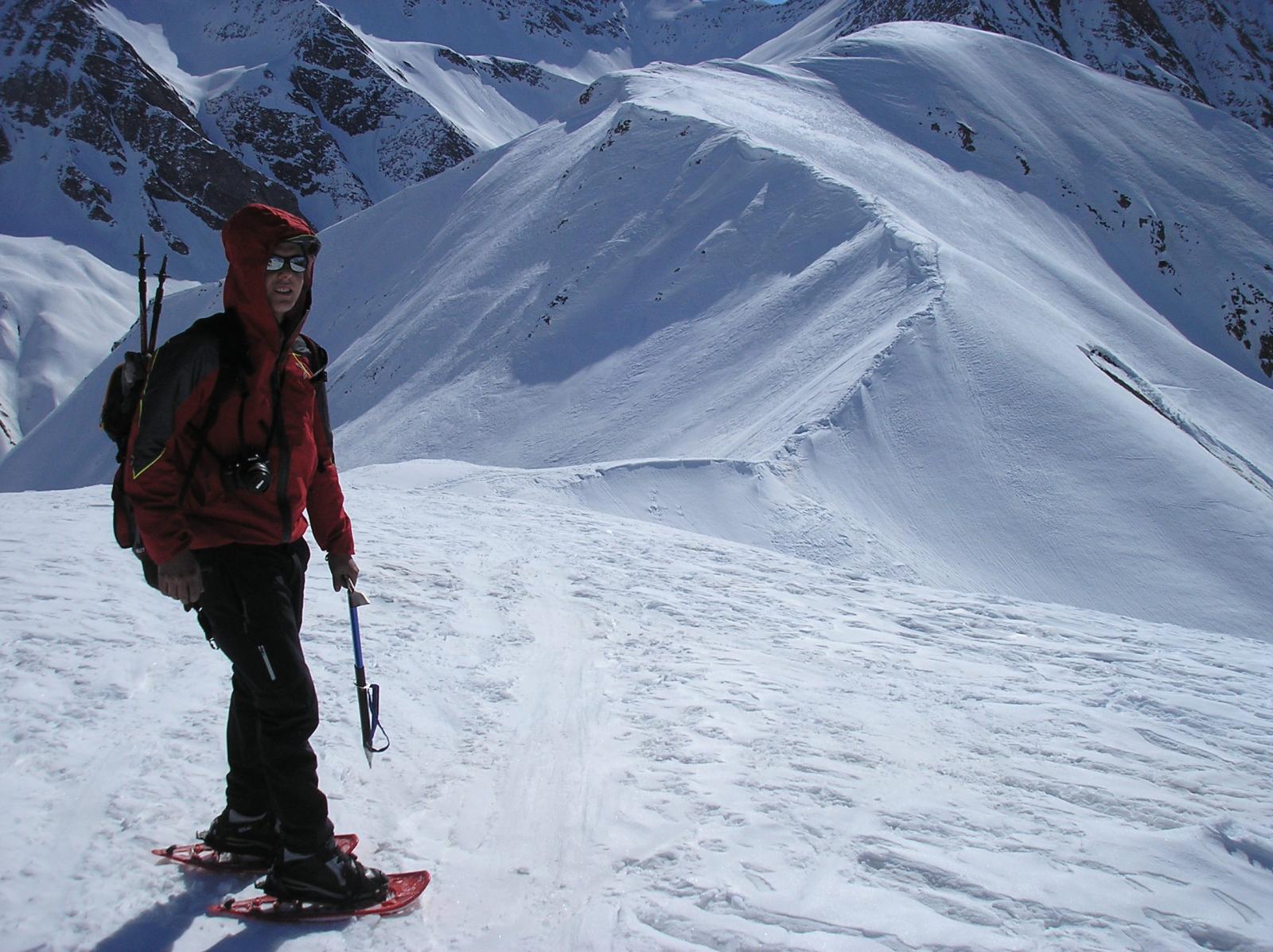
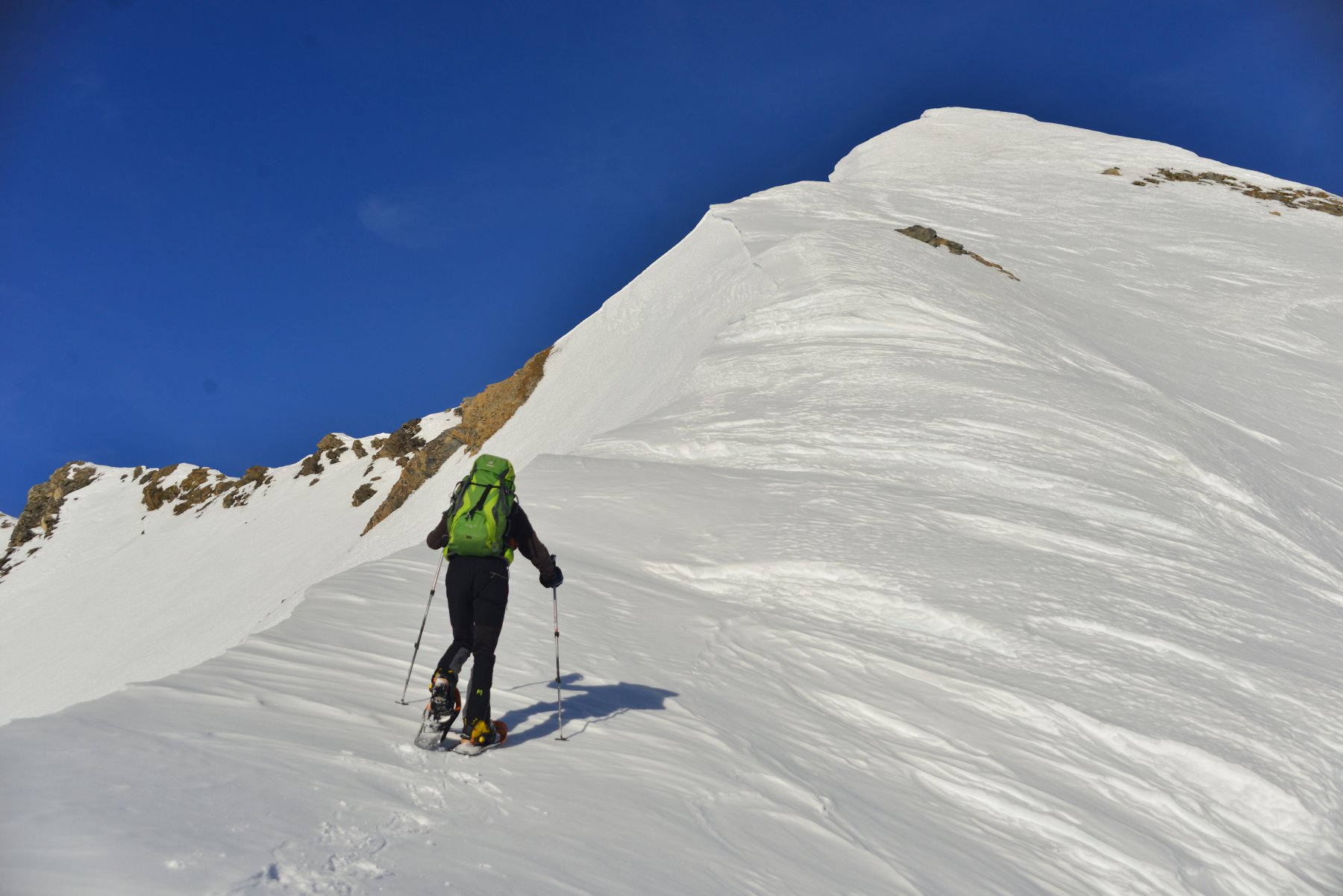
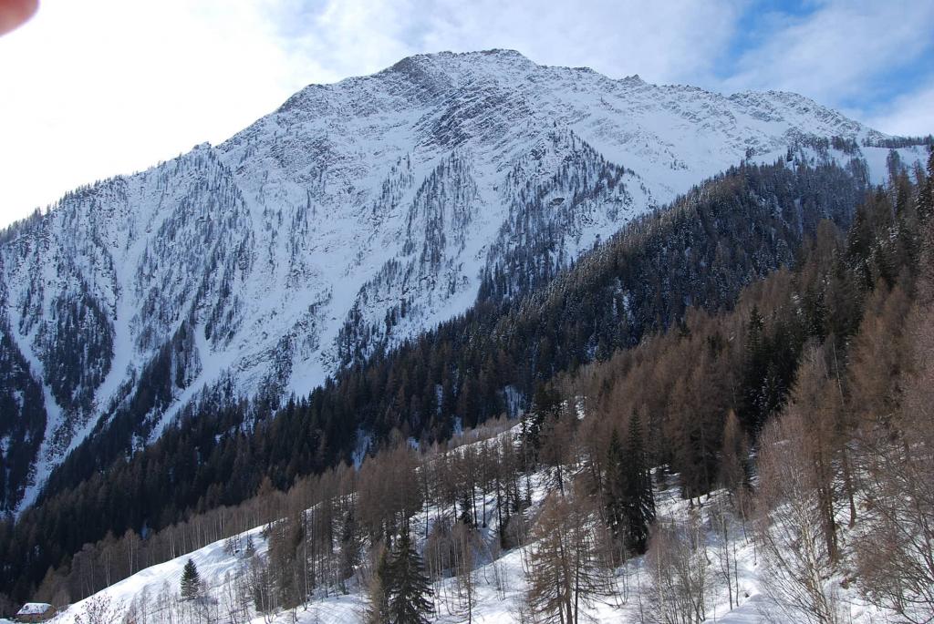
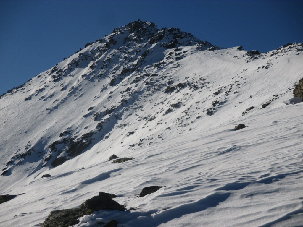
da villair superiore si seguono le indicazioni(segnaletica n42)che conducono al rifugio bertone su traccia marcata.La traccia prosegue su ripido pendio iniziale sul monte de la saxe,fino ad arrivare al cospetto della prima cima la testa bernarda(per la salita possono servire i ramponi).Poi per cresta che in alcuni tratti e’ sottile si arriva alla testa tronche
Nelle vicinanze Mappa
Itinerari
02/01/2012 AO, Courmayeur D+ 360 m MR Ovest
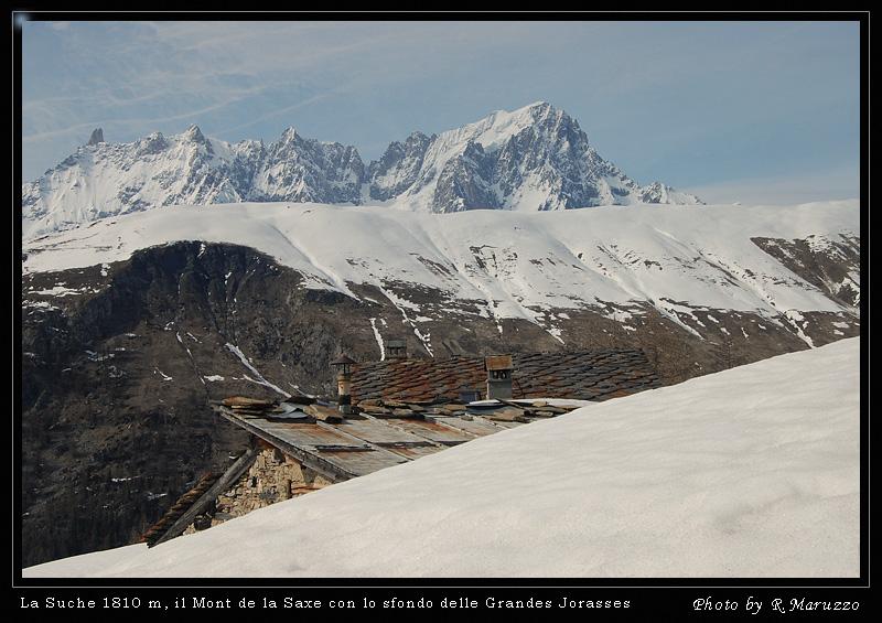
La Suche (Baite) da Ermitage
 550m
550m
24/02/2026 AO, Courmayeur D+ 729 m MR Nord-Est
Bertone Giorgio (Rifugio) da La Saxe
 1.5Km
1.5Km
30/04/2017 AO, Courmayeur D+ 732 m MR Tutte
Checrouit (Colle) da Dolonne, anello
 2.6Km
2.6Km
09/12/2016 AO, Courmayeur D+ 1457 m OR, F+ Sud-Ovest
Tsichette (Mont) e Mont de Rots da Planpincieux
 3.4Km
3.4Km
03/01/2012 AO, Courmayeur MR Nord-Est
Lavachey da Plampincieux
 3.4Km
3.4Km
29/03/2026 AO, Courmayeur D+ 409 m MR Nord-Ovest
Bonatti Walter (Rifugio) da Planpincieux
 3.4Km
3.4Km
27/12/2023 AO, Courmayeur D+ 398 m MR Varie
Bertone Giorgio (Rifugio) da Planpincieux
 3.4Km
3.4Km
08/12/2016 AO, Courmayeur D+ 1136 m BR Varie
Entre Deux Sauts (Tète) da Planpincieux
 3.4Km
3.4Km
10/02/2019 AO, Pré-Saint-Didier D+ 1108 m MR Est
Arp de Sorè o Arp Damon (Alpeggio) da Champex
 3.7Km
3.7Km
31/12/2016 AO, La Thuile D+ 1200 m BRA, PD- Nord
Lussè (Monte) dal Colle San Carlo
 6.5Km
6.5Km