1.5Km
1.5Km
Avvicinamento
 50m
50m
900m
1.1Km
1.1Km
1.6Km
2.1Km
2.4Km
3Km
3Km
50m
50m
900m
1.1Km
1.1Km
1.6Km
2.1Km
2.4Km
3Km
3Km
1.5Km
4.5Km
4.9Km
5.7Km
6.1Km
8.5Km
9Km
9Km
9.1Km
9.3Km
.
Descrizione
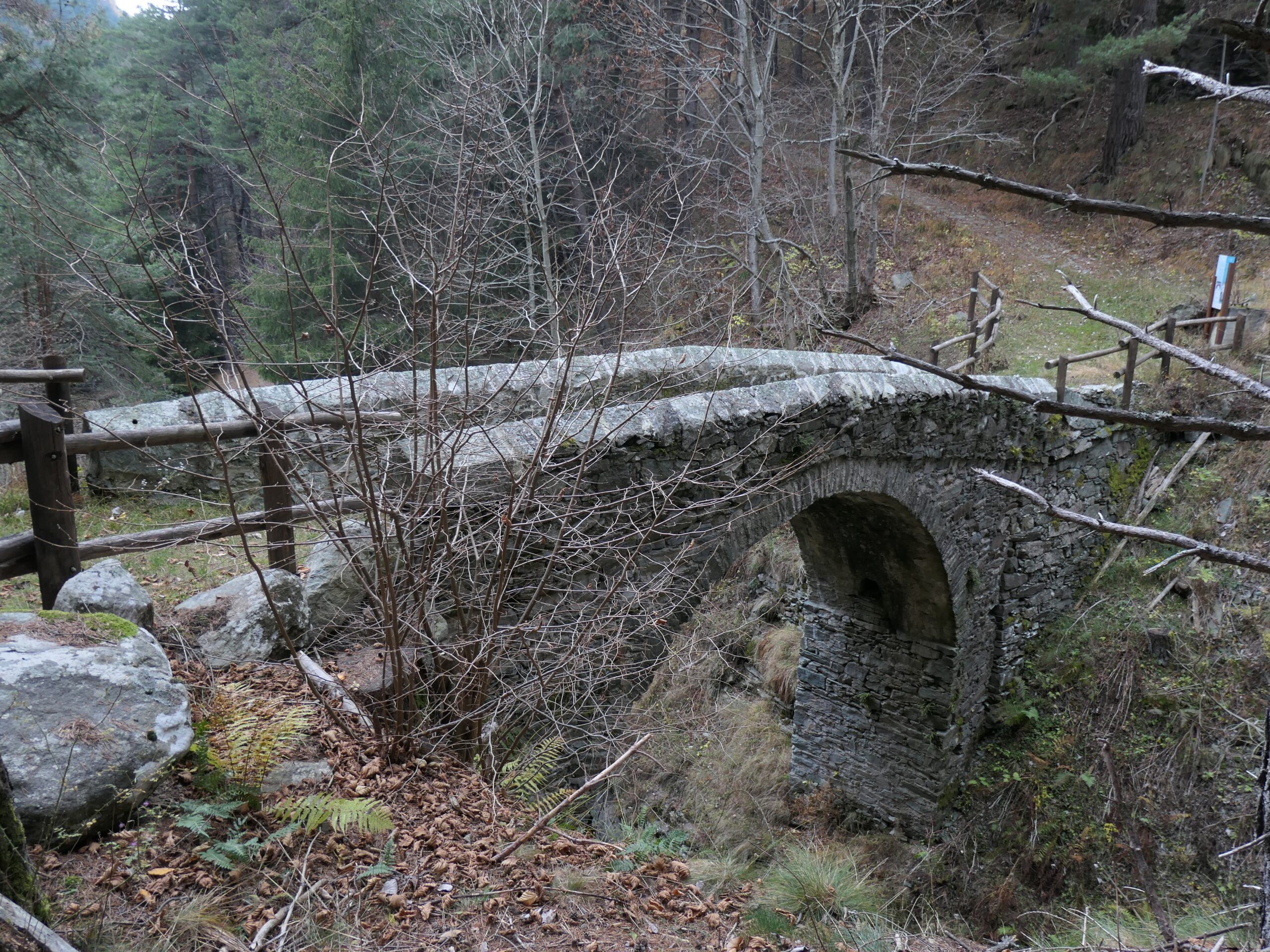
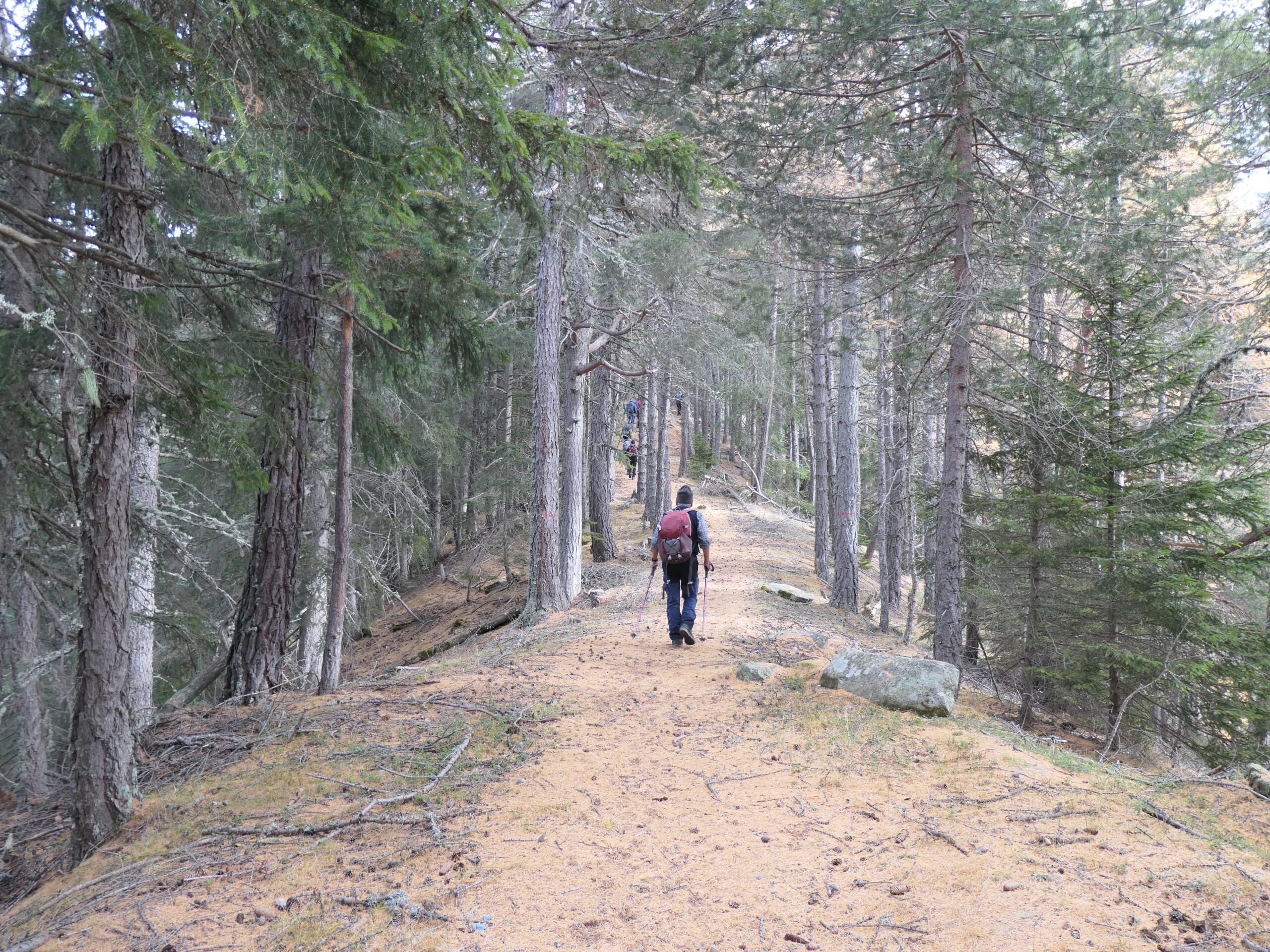
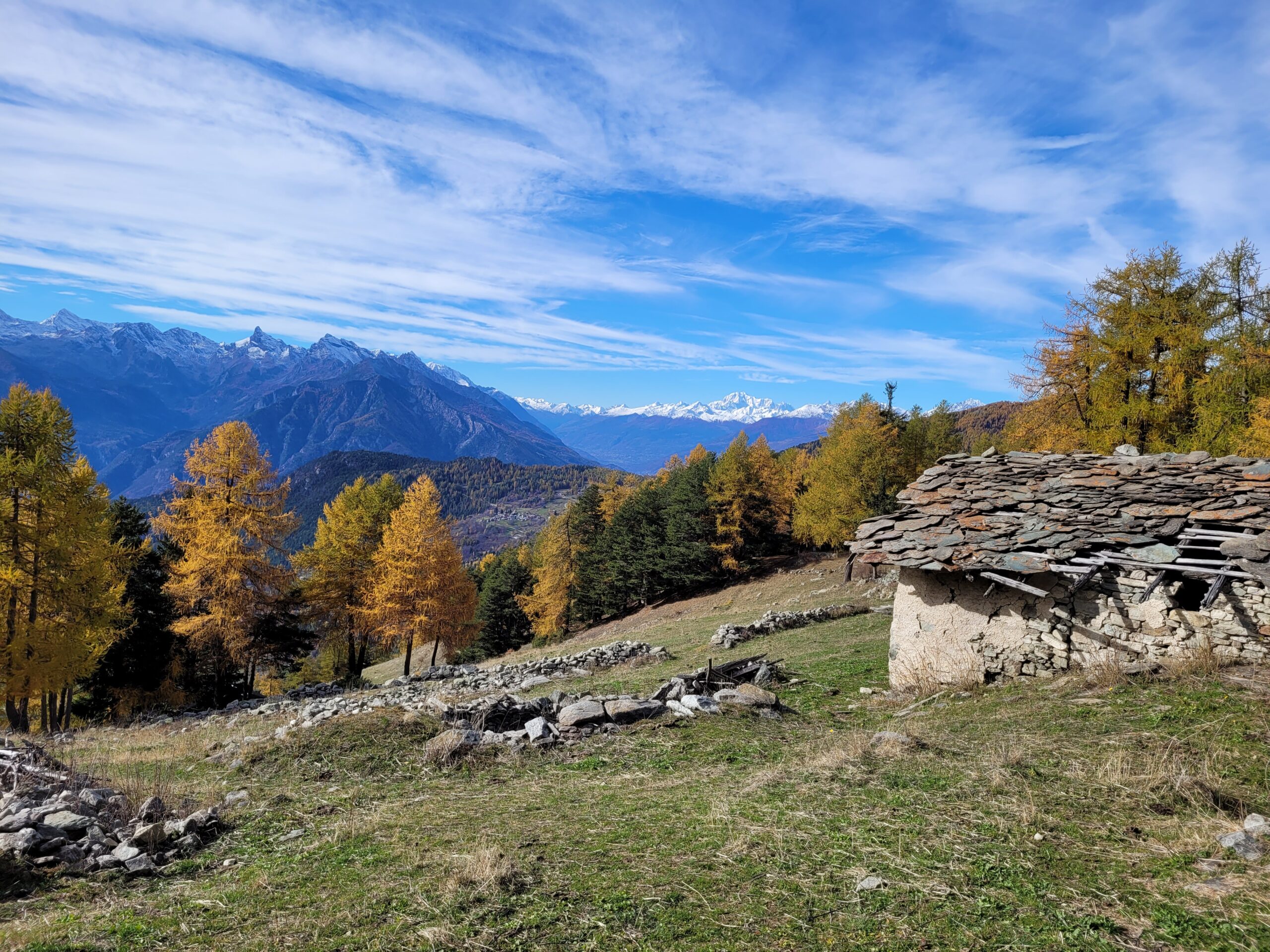
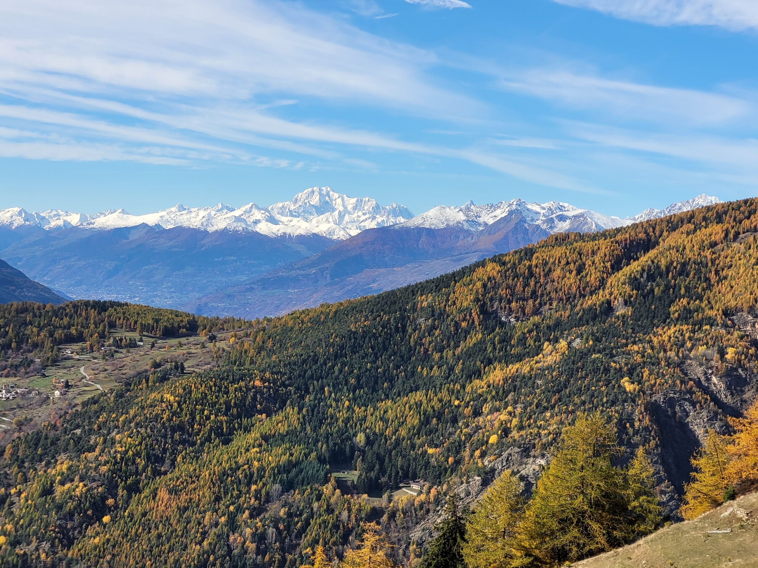
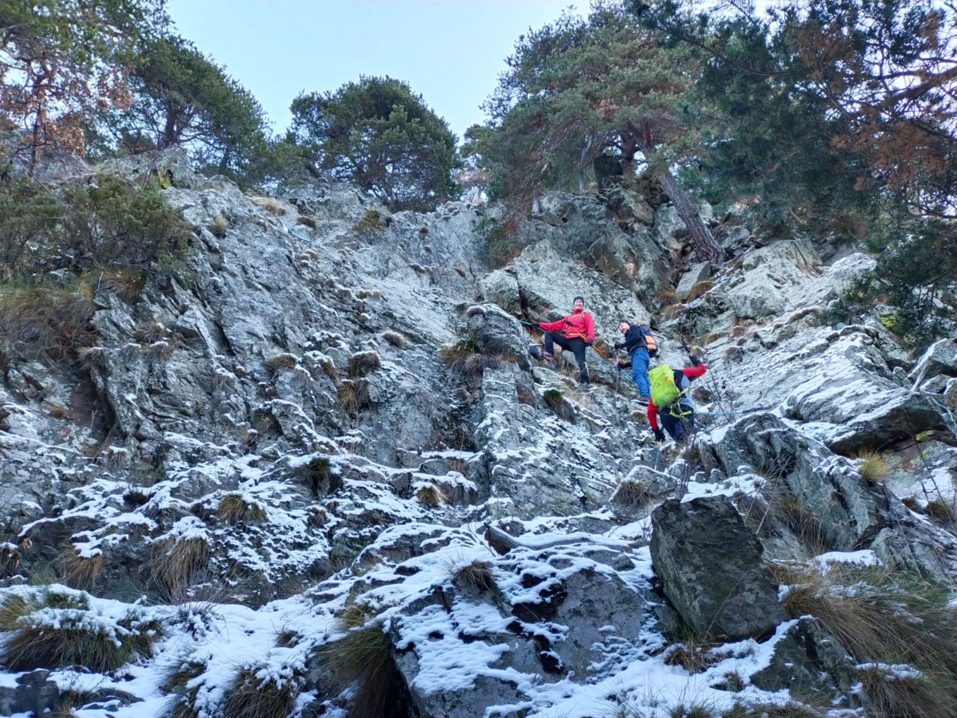
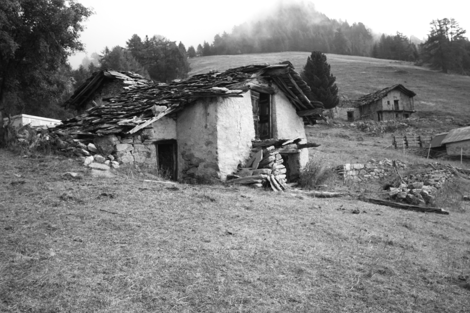
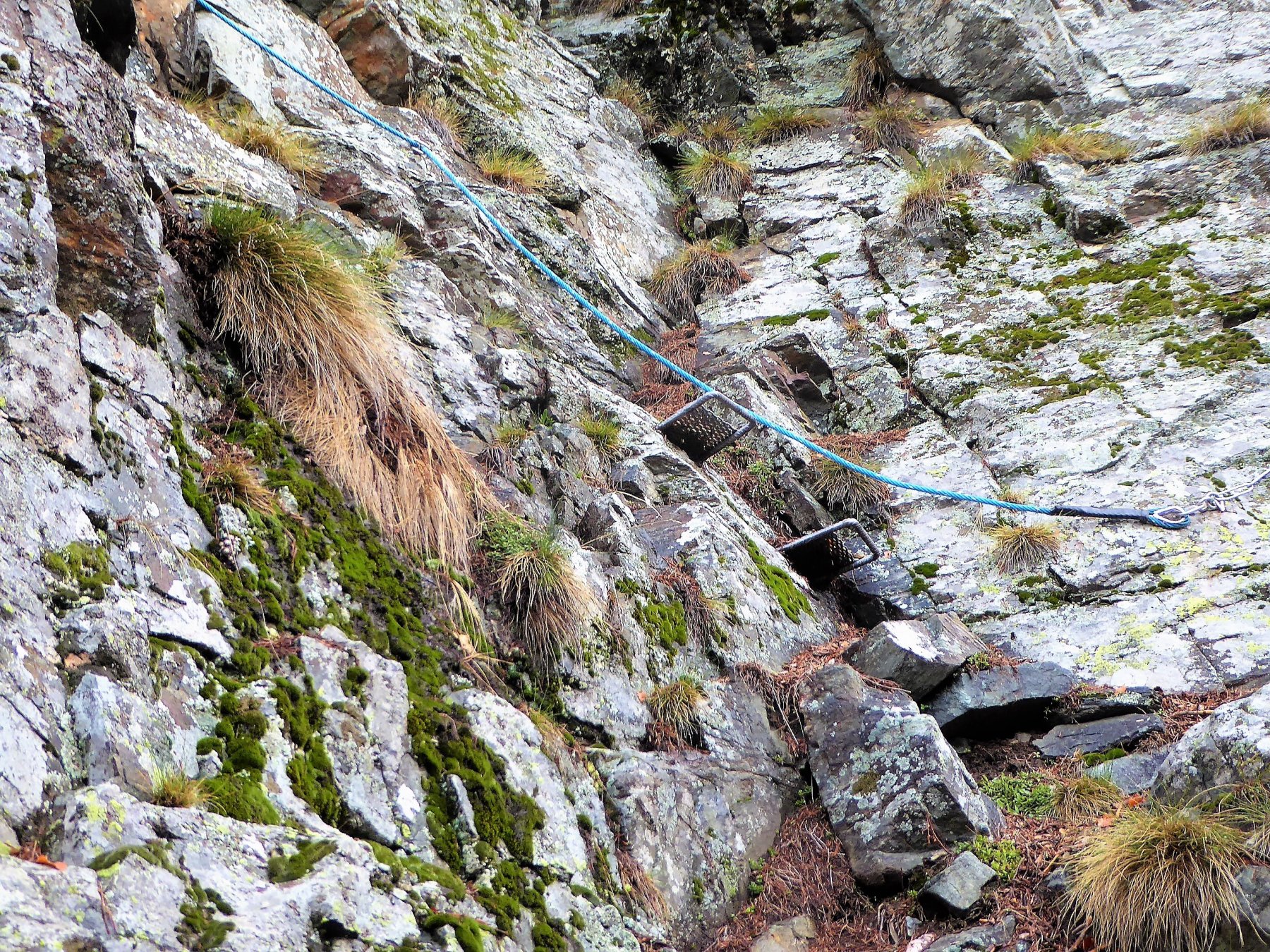
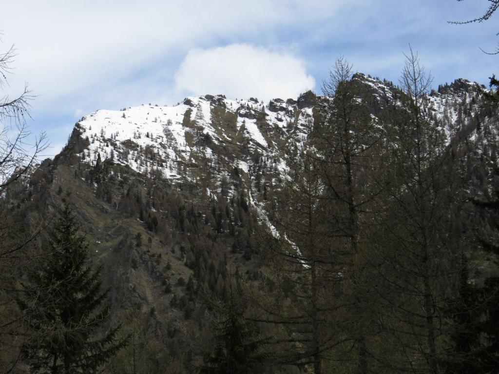
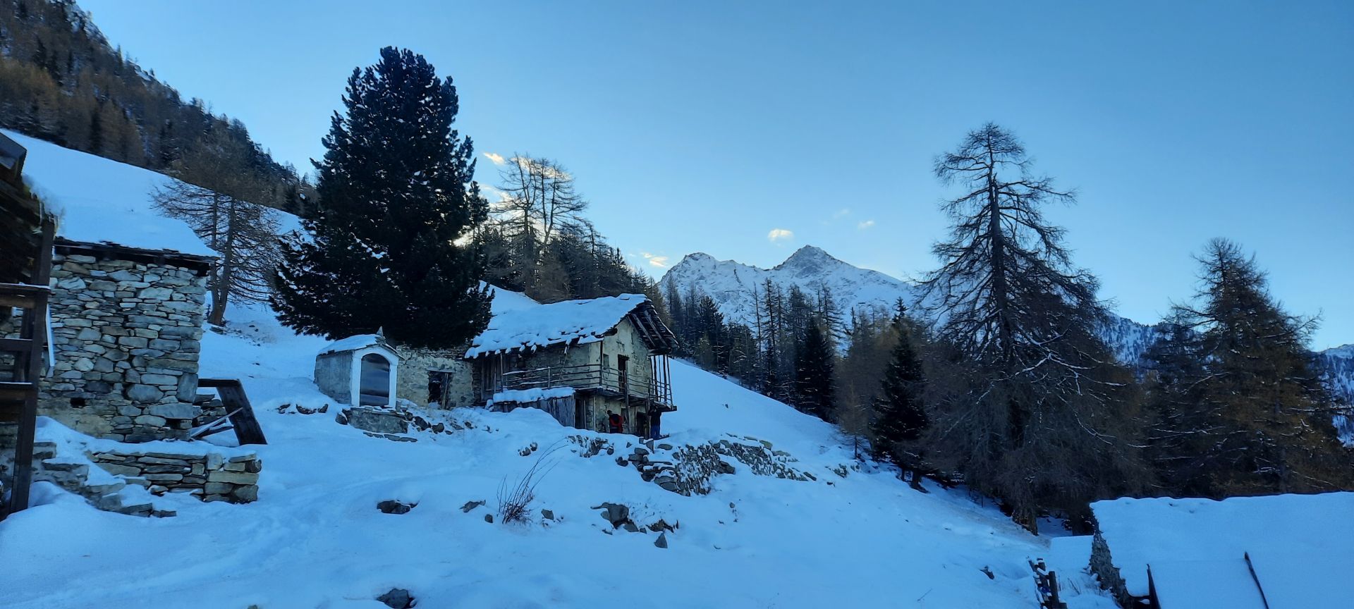
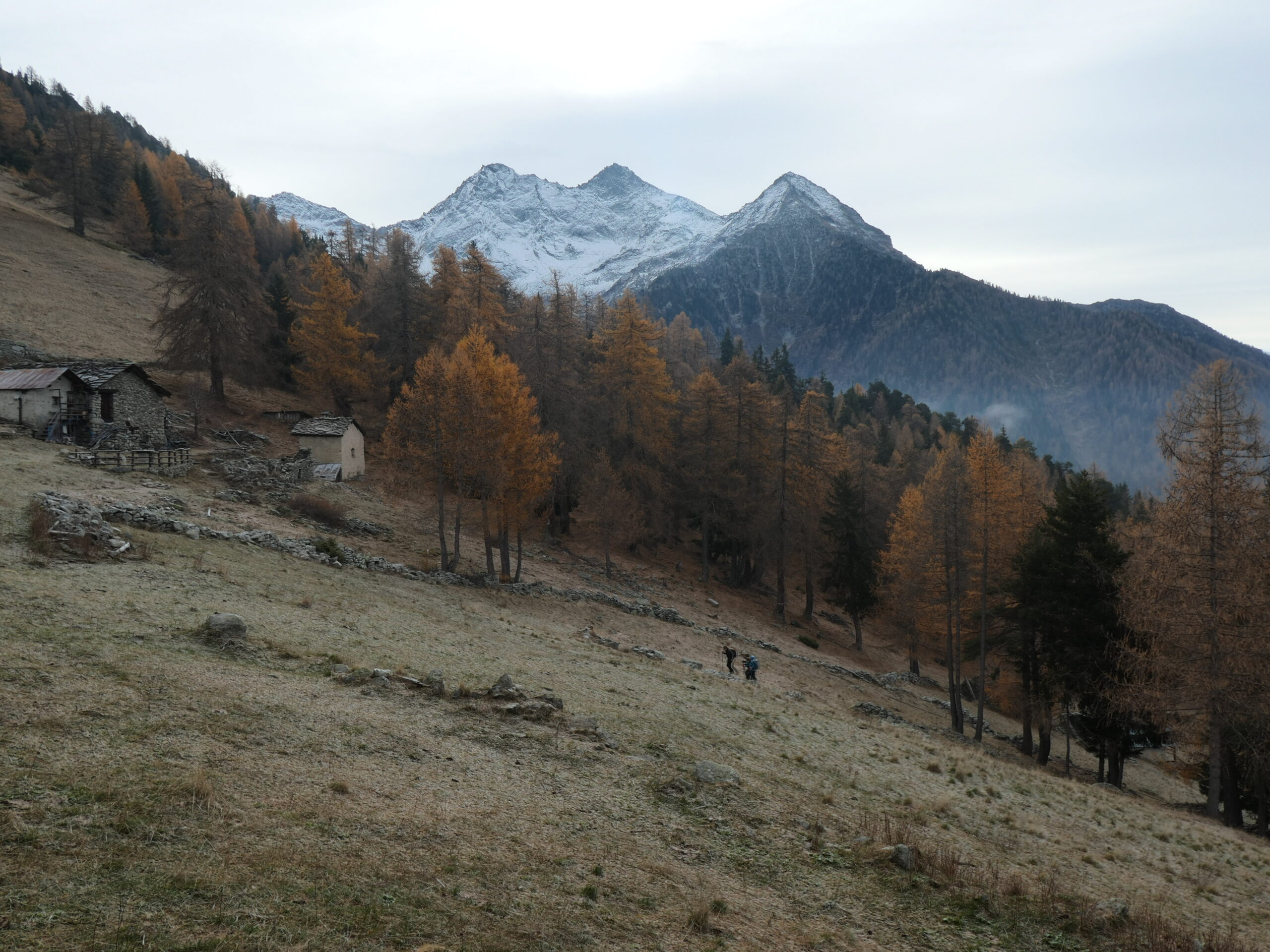
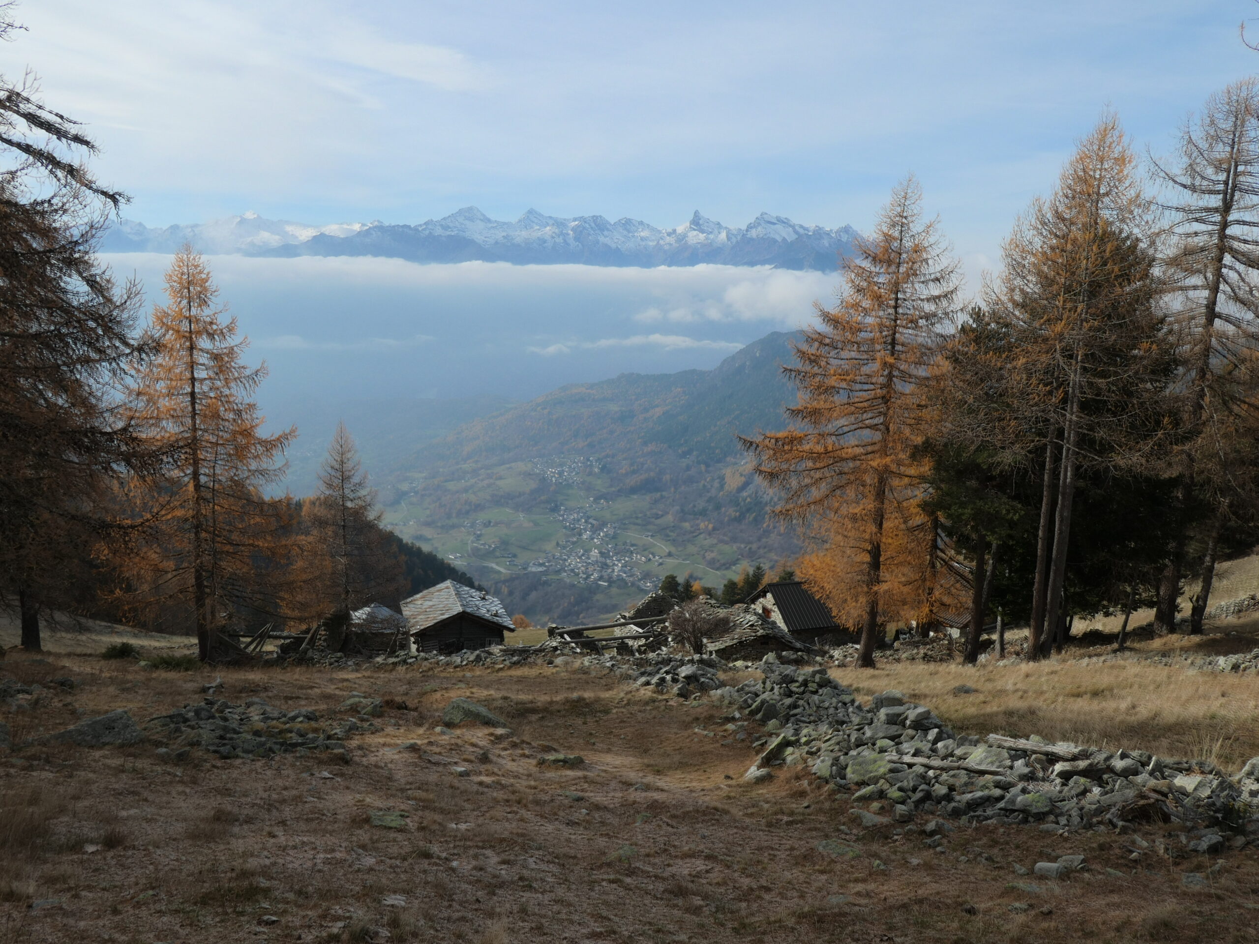
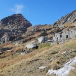
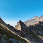
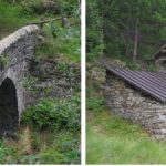
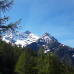
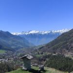
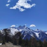
Parcheggio nella piazza di Tollégnaz, si segue la strada in salita, sul lato destro palina con indicazione dei sentieri; seguire il sentiero 1A che sale a raggiungere la dorsale e continua ben marcato lungo la medesima fra pini silvestri pittoreschi. Quando la cresta diventa più impervia, il sentiero presenta alcuni tratti attrezzati con corde e scalini metallici. Poco dopo il sentiero si innesta sul sentiero principale proveniente da Allesaz (quello che si userà al ritorno) e poco oltre in una radura, si incontrano i ruderi della baita Roulaz m. 1652.
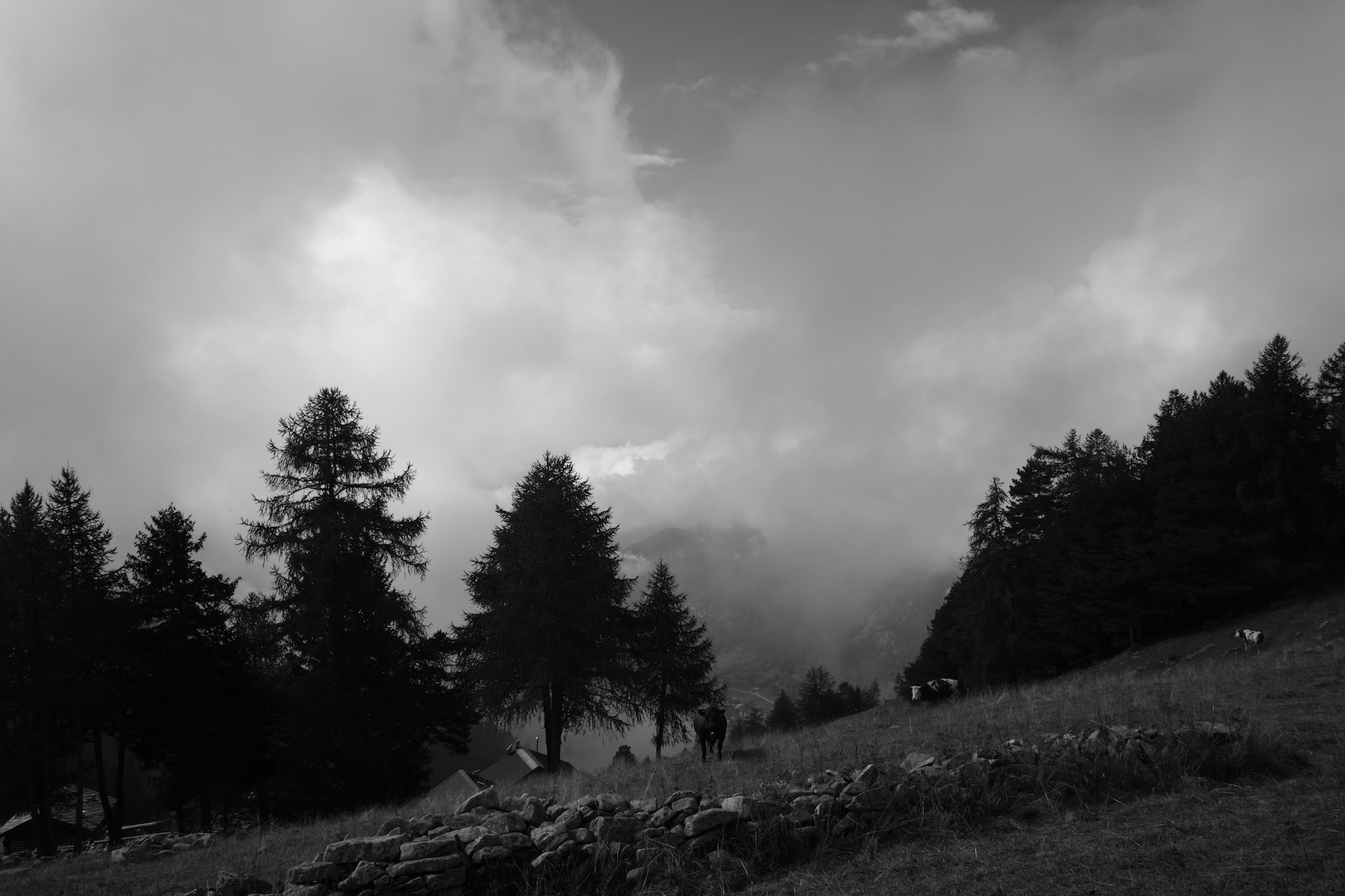
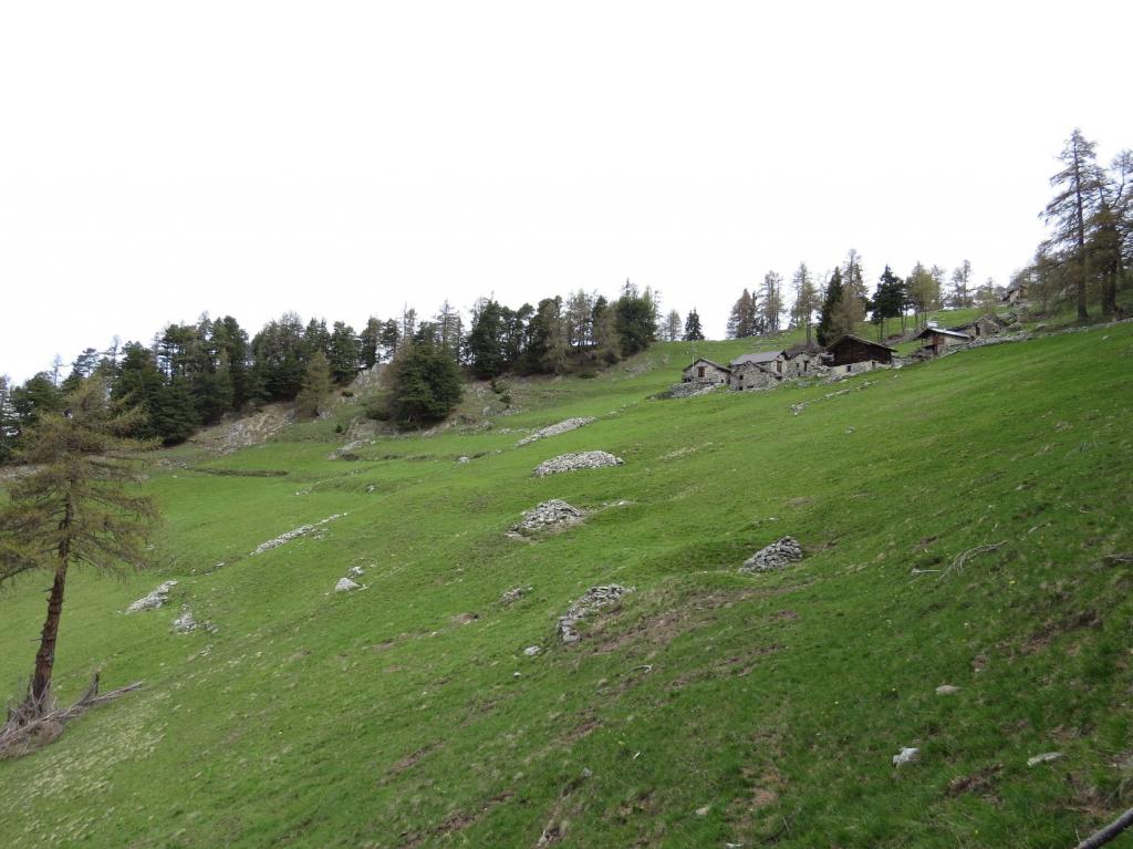
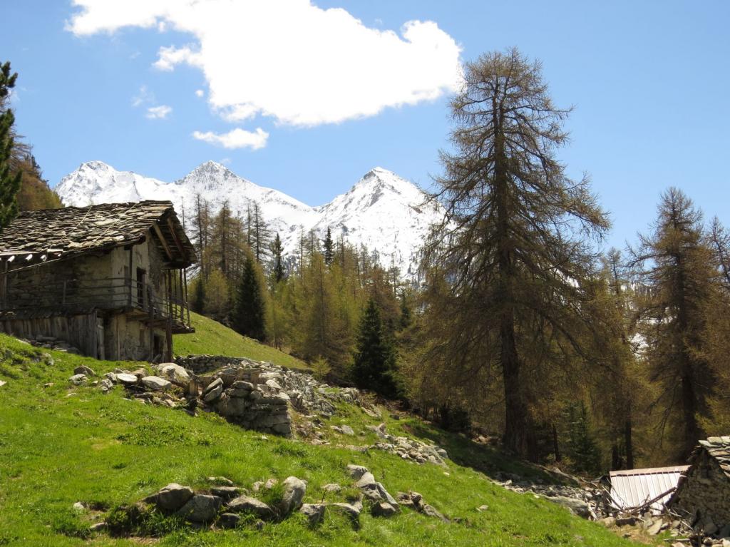
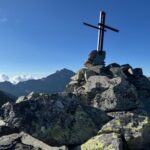
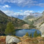
Si prosegue sempre su dorsale, tralasciando a destra il sentiero 1B che scende nel Vallone di Chasten, e con un traverso nel bosco si giunge alla bellissima borgata alpina dell’Alpe Moulaz, m. 1860. Discesa sullo stesso percorso di salita e appena passati i ruderi di Roulaz proseguire sul sentiero principale verso Allesaz, percorrendo il rientro ad anello. Giunti ad Allesaz, per stradine si raggiunge il punto di partenza a Tollégnaz.
- Cartografia:
- L'Escursionista - carta dei sentieri n. 12
Nelle vicinanze Mappa
Itinerari
13/10/2023 AO, Challand-Saint-Anselme D+ 1733 m E Varie
Chasten (Colle) da Tollegnaz
 50m
50m
10/07/2023 AO, Challand-Saint-Anselme D+ 2034 m EE/F Varie
Nery (Mont) da Tollegnaz
 50m
50m
16/07/2005 AO, Challand-Saint-Anselme D+ 750 m E Varie
Leuria (Alpe) da Ruvere
 900m
900m
27/06/2026 AO, Brusson D+ 1558 m EE Ovest
Champlong (Punta) da Allesaz
 1.1Km
1.1Km
26/05/2024 AO, Challand-Saint-Anselme D+ 1100 m EE Tutte
Cleve di Moulaz da Allesaz, anello
 1.1Km
1.1Km
09/04/2026 AO, Challand-Saint-Anselme D+ 650 m E Nord
Graines (Castello di) da Challand Saint Anselme
 1.6Km
1.6Km
09/11/2025 AO, Challand-Saint-Anselme D+ 1100 m E Tutte
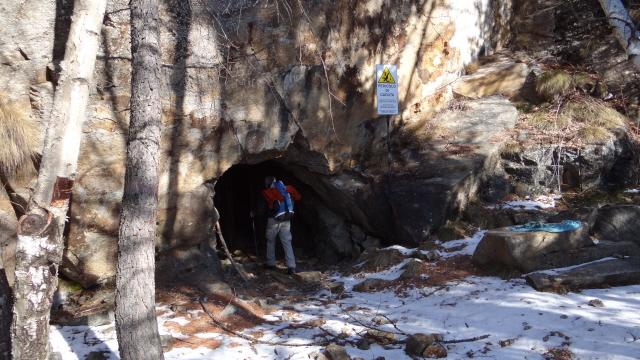
Comagna (Testa di) da Plesod, anello per le miniere di Bechaz
 2.1Km
2.1Km
25/04/2025 AO, Challand-Saint-Anselme D+ 608 m E Sud-Est
Comagna (Testa di) da Arbaz
 2.4Km
2.4Km
06/10/2024 AO, Brusson D+ 855 m E Varie
Frudiere (Colle e Laghi) da Graines
 3Km
3Km
04/06/2022 AO, Brusson D+ 1200 m EE Varie
Regina (Punta della) da Graines, anello per Punta e Passo Garda
 3Km
3Km
Servizi
1.5Km
4.5Km
A Barma Drola B&B
Brusson
4.9Km
Le Coin des Melezes B&B
Brusson
5.7Km
Laghetto Albergo
Brusson
6.1Km
Ramet Ristorante
Challand-Saint-Victor
8.5Km
Da Vincenzo Ristorante
Montjovet
9Km
Old Valley Pub Ristorante
Arnad
9Km
Des amies Ristorante
Arnad
9.1Km
Nigra Albergo
Montjovet
9.3Km