2Km
2Km
Note
 50m
1.1Km
1.1Km
2.2Km
2.2Km
3.1Km
3.1Km
3.4Km
3.4Km
50m
1.1Km
1.1Km
2.2Km
2.2Km
3.1Km
3.1Km
3.4Km
3.4Km
2Km
2.5Km
3.1Km
5Km
5.4Km
6.2Km
7.5Km
7.6Km
7.8Km
7.9Km
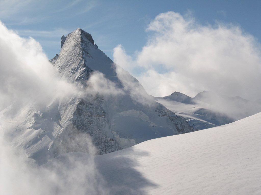
Trattasi di una variante della classica Chamonix Zermatt con entrata italiana per Valtournanche e Valpelline.
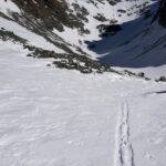
Avvicinamento
.
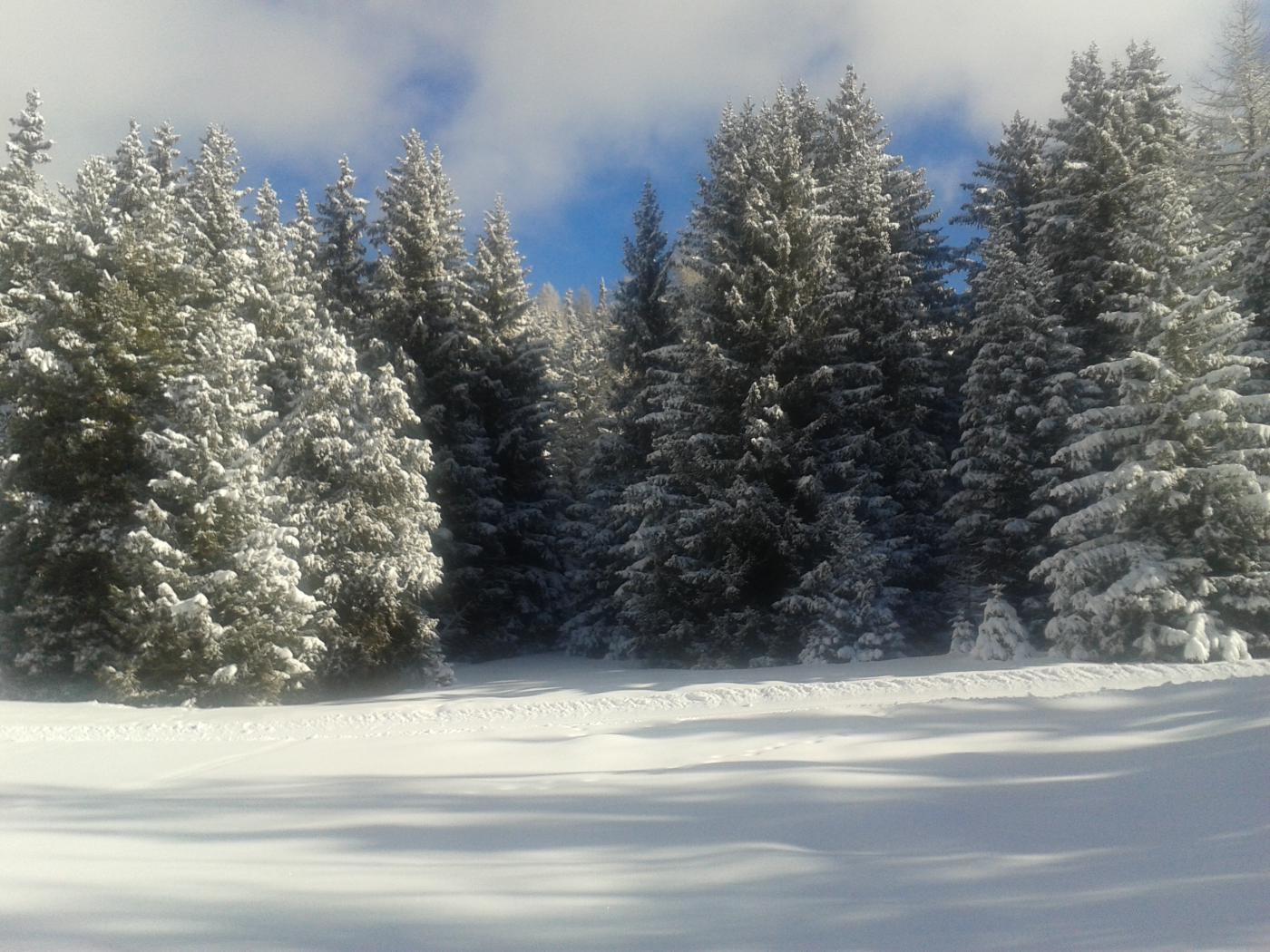
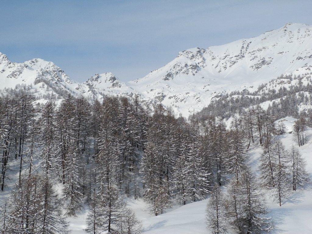
Descrizione
1° giorno
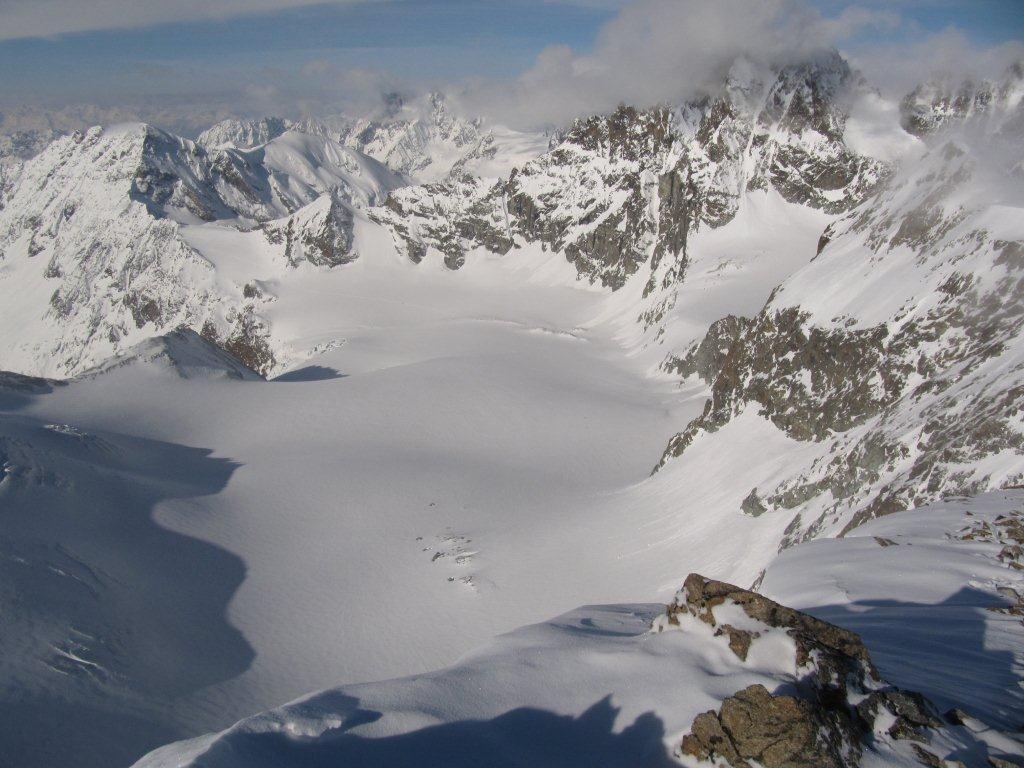
Torgnon – Dome de Cian – Rifugio Prarayer
2° giorno
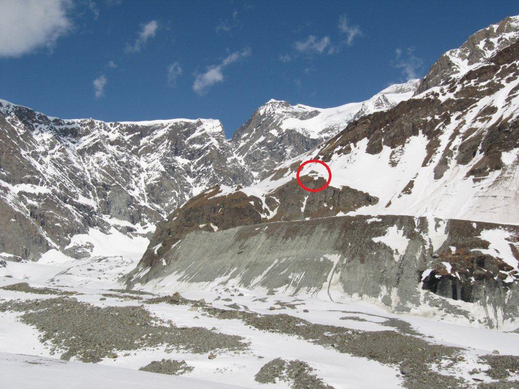
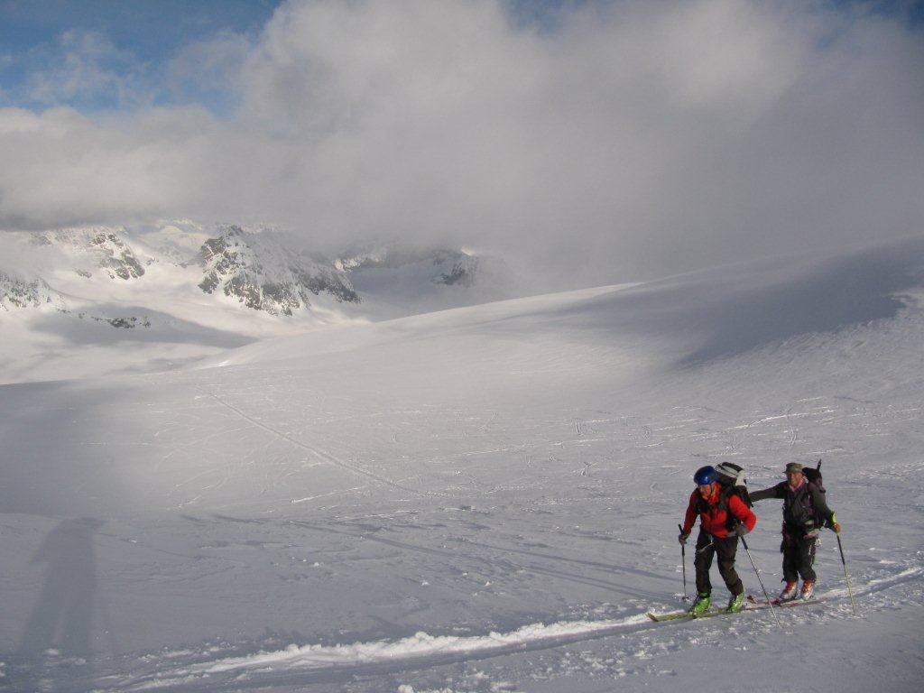
Rifugio Prarayer – Becca d’Oren – Cabane des Vignettes
3° giorno
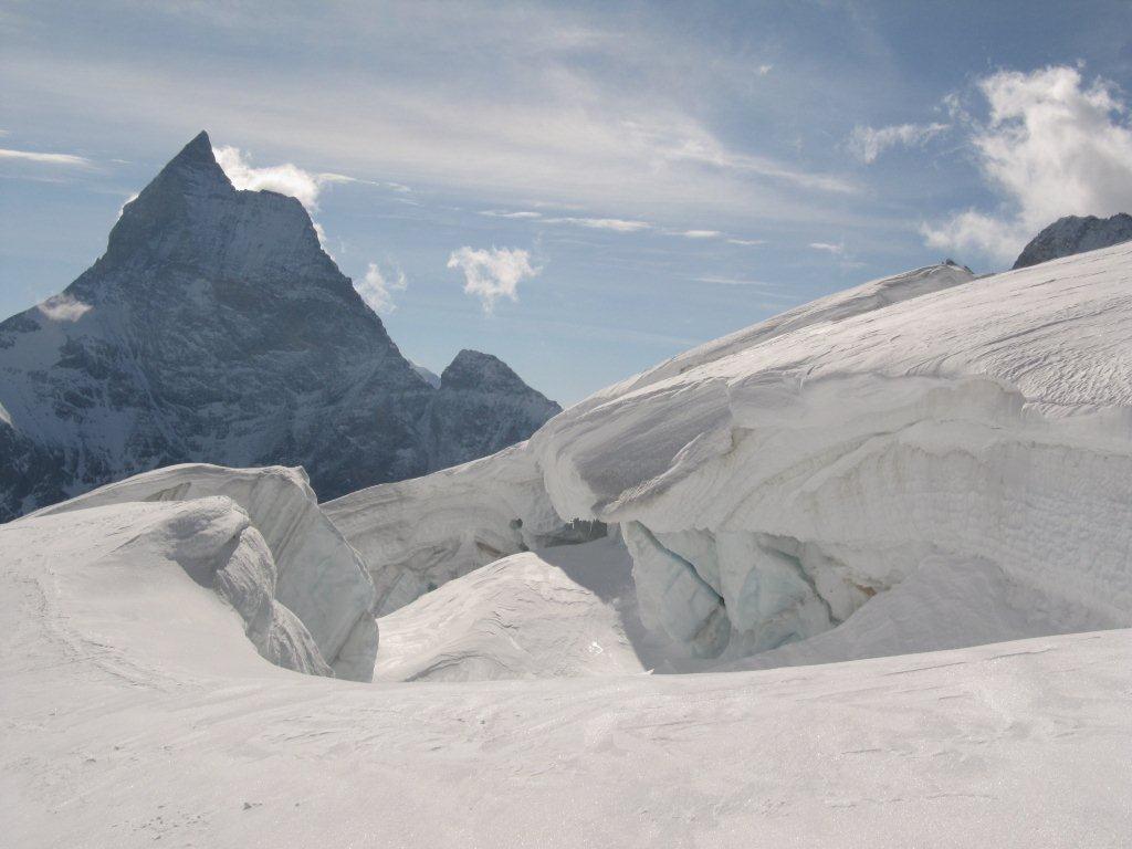
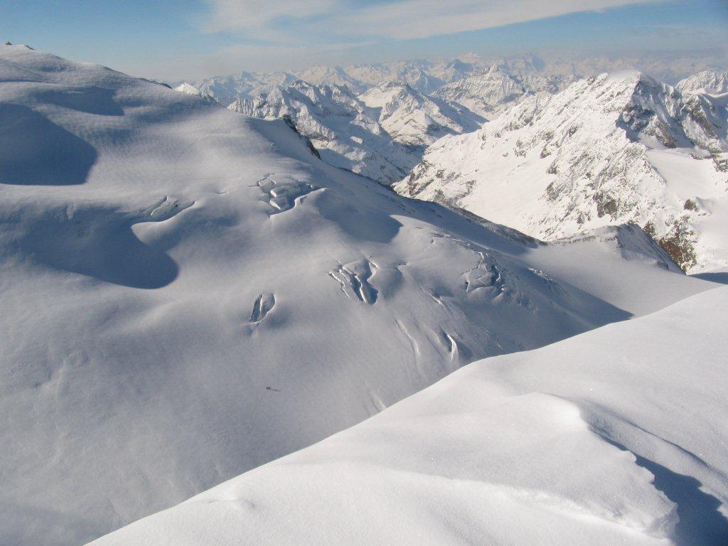
Cabane des Vignettes – l’Eveque – Cabane des Vignettes
4° giorno
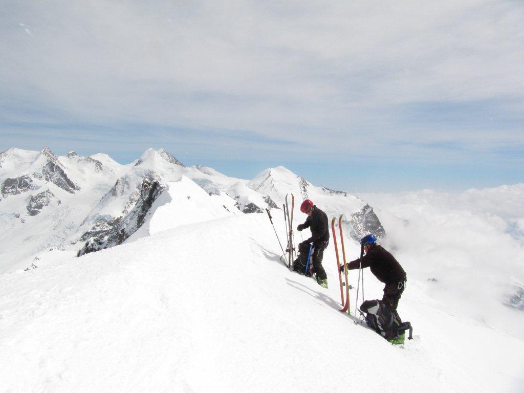
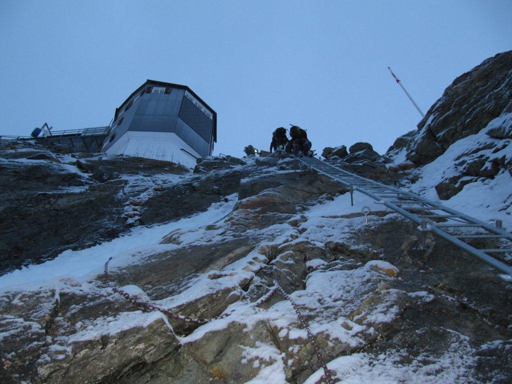
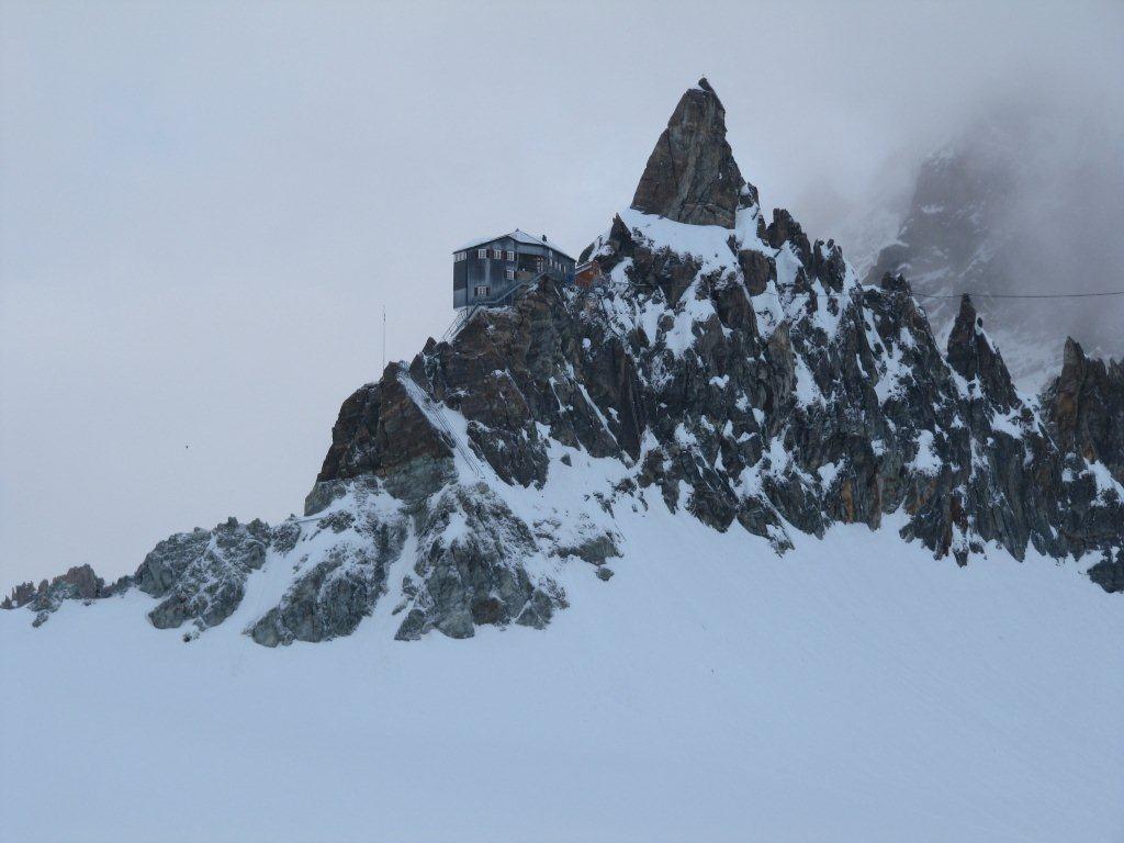
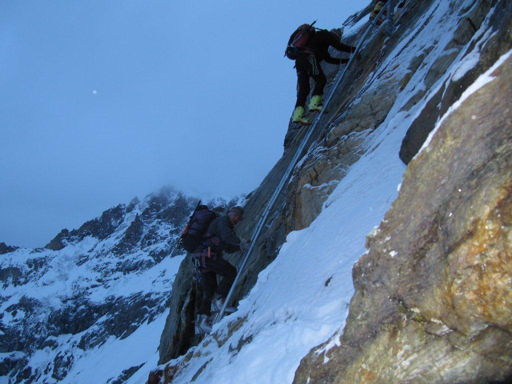
Cabane des Vignettes – Cabane de Bertol 3300 m
5° giorno
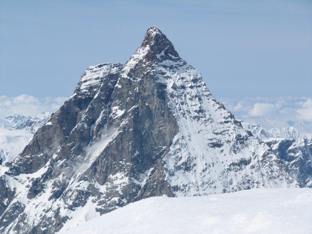
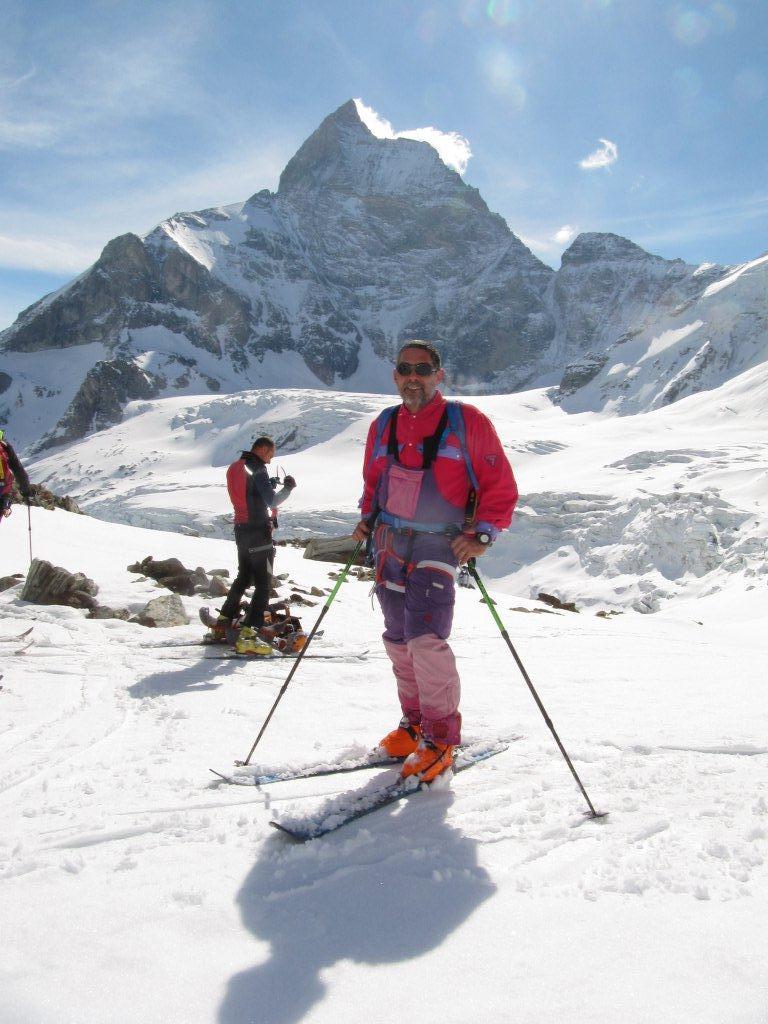
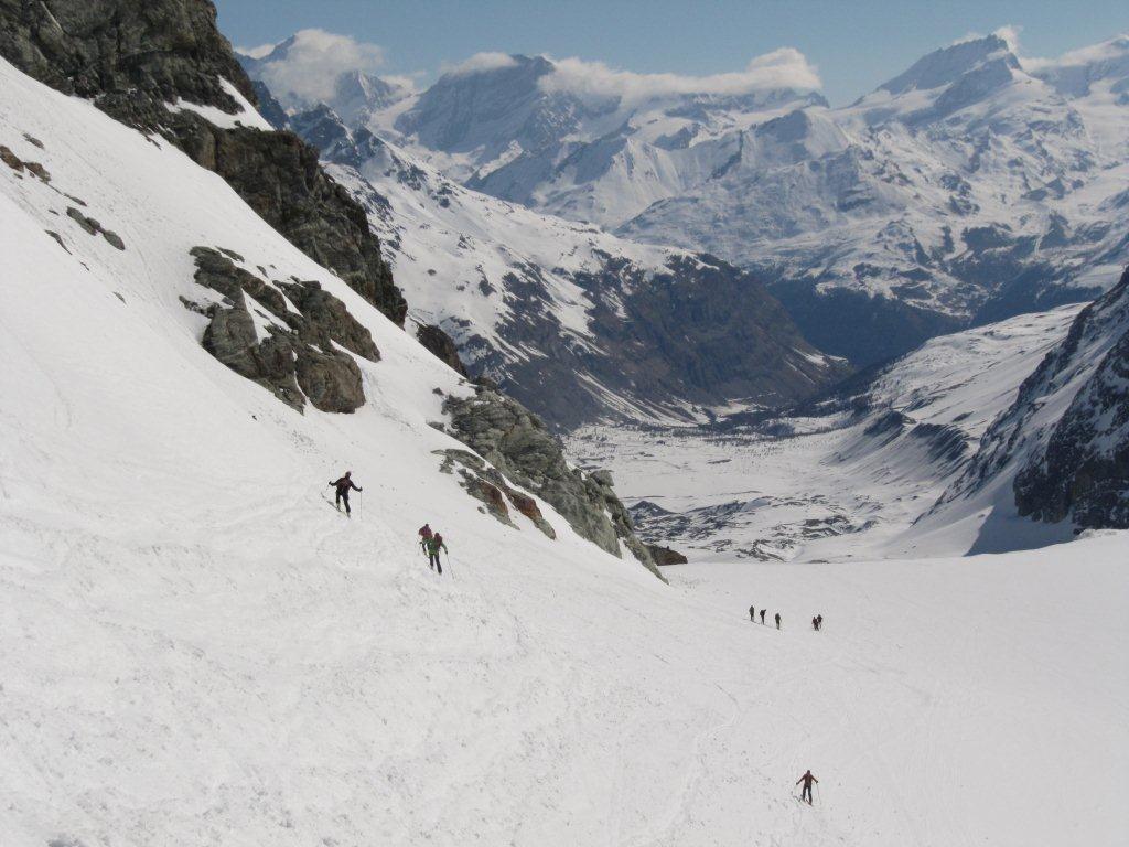
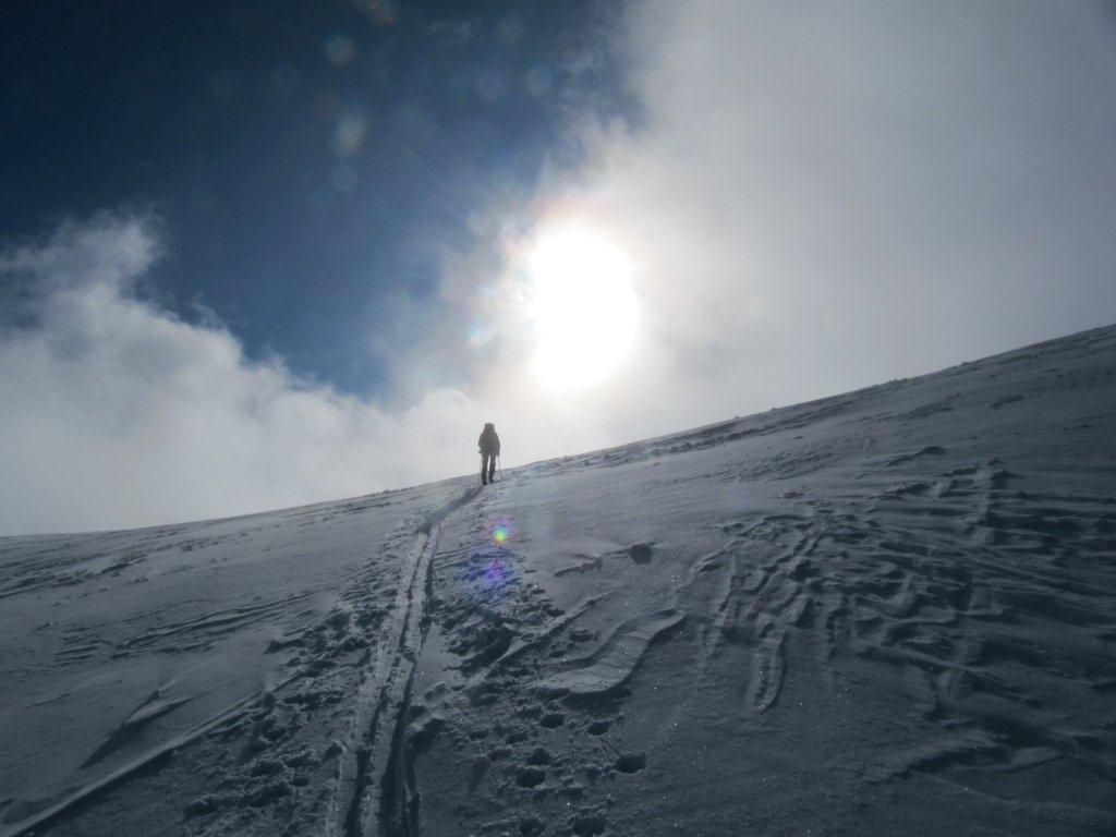
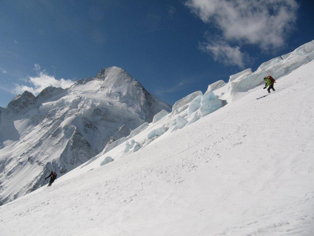
Cabane de Bertol – Tete Blanche – Furi – Piccolo Cervino (impianti)
6° giorno
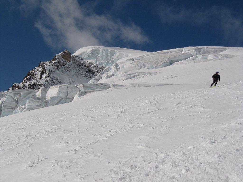
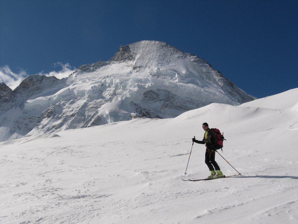
Piccolo Cervino – Breithorn Occidentale – Zermatt
- Cartografia:
- Valle centrale 13 l'Escursionista, AROLLA (CNS)
- Bibliografia:
- haute route chamonix-zermatt di Lavigne-Damilano
Nelle vicinanze Mappa
Itinerari
31/03/2013 AO, Torgnon D+ 410 m MS Est
Fenetre (Col) da Chantornè
50m
04/04/2025 AO, Torgnon D+ 850 m OSA, F+ Est
Meabé (Monte) Canali Est da Chantorné
 50m
50m
30/01/2021 AO, Torgnon D+ 889 m BS Sud-Est
Meabè (Monte), anticima da Septumian
 1.1Km
1.1Km
20/12/2025 AO, Torgnon D+ 530 m MS Sud-Est
Torgnon Ski area
 1.1Km
1.1Km
21/03/2026 AO, Torgnon D+ 1700 m BS Varie
Tsan o Cian (Dome de) da Torgnon
 2.2Km
2.2Km
12/12/2014 AO, Torgnon D+ 1317 m BS Nord-Est
Bianca (Cima) o Cime Blanche da Chatè
 2.2Km
2.2Km
12/01/2020 AO, Verrayes D+ 848 m BS Sud
Aver (Becca d’) da Champlong
 3.1Km
3.1Km
30/12/2010 AO, Verrayes D+ 200 m MS Varie
Saint Evence (Cappella di) dal Colle di Saint Pantaleon
 3.1Km
3.1Km
21/12/2019 AO, Torgnon D+ 1017 m MSA, F Varie
Meabè (Monte) da Etirol
 3.4Km
3.4Km
07/12/2019 AO, Torgnon D+ 1014 m BS Est
Tsomioy o Chomioi (Colle) da Etirol
 3.4Km
3.4Km
Servizi
2Km
2.5Km
Boule de neige B&B
Antey Saint Andrè
3.1Km
Blanche Neige Bar
Verrayes
5Km
Mathamel Giorgio B&B
Verrayes
5.4Km
Lavesè Ristorante
Saint-denis
6.2Km
Pession Ristorante
Antey-Saint-André
7.5Km
Tse fine e Marcel B&B
Verrayes
7.6Km
Lo scoiattolo Ristorante
La Magdeleine
7.8Km
Maison de Suis B&B
Chamois
7.9Km