3.5Km
3.5Km
Note
 1.3Km
1.8Km
2Km
3.2Km
3.5Km
3.5Km
3.6Km
3.6Km
1.3Km
1.8Km
2Km
3.2Km
3.5Km
3.5Km
3.6Km
3.6Km
3.5Km
3.9Km
4.1Km
4.9Km
4.9Km
5Km
6.4Km
6.4Km
6.4Km
6.4Km
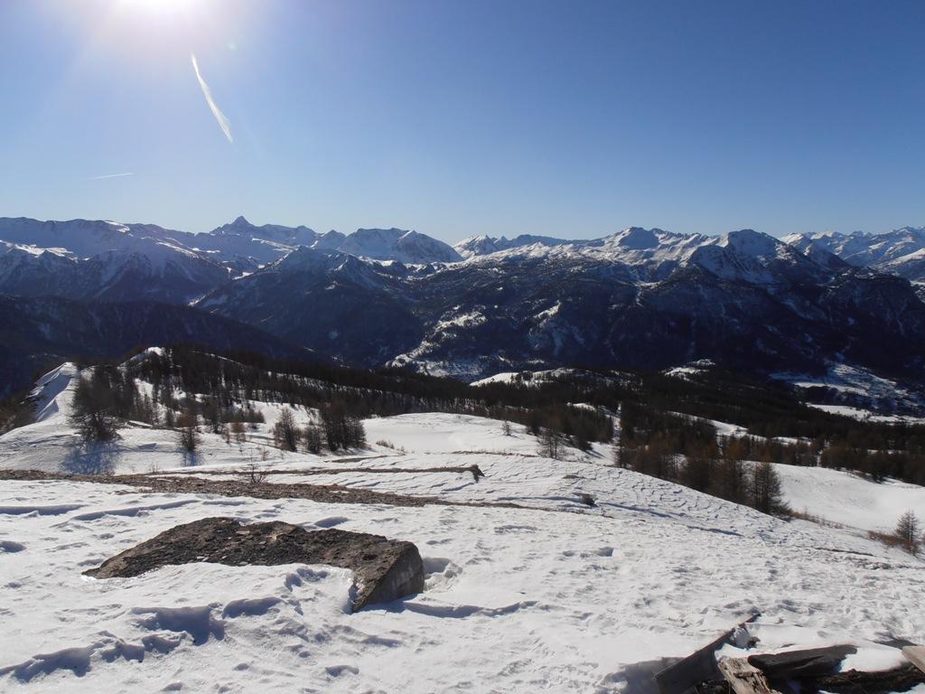
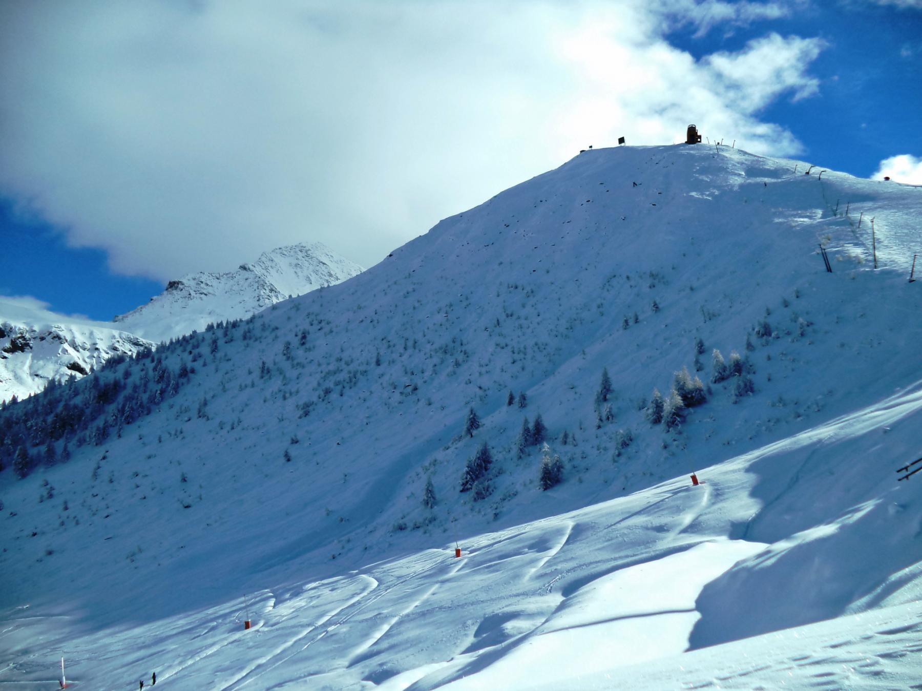
Cima arrotondata facente parte del crestone del Fraiteve che divide il versante ovest delle pieste di Sansicario, da quello sud degli assolati pendii degli Champlas.
Il versante sud é attraversato dalle piste di fondo di Sestriere.
Avvicinamento
Il versante sud é attraversato dalle piste di fondo di Sestriere.
.
Descrizione
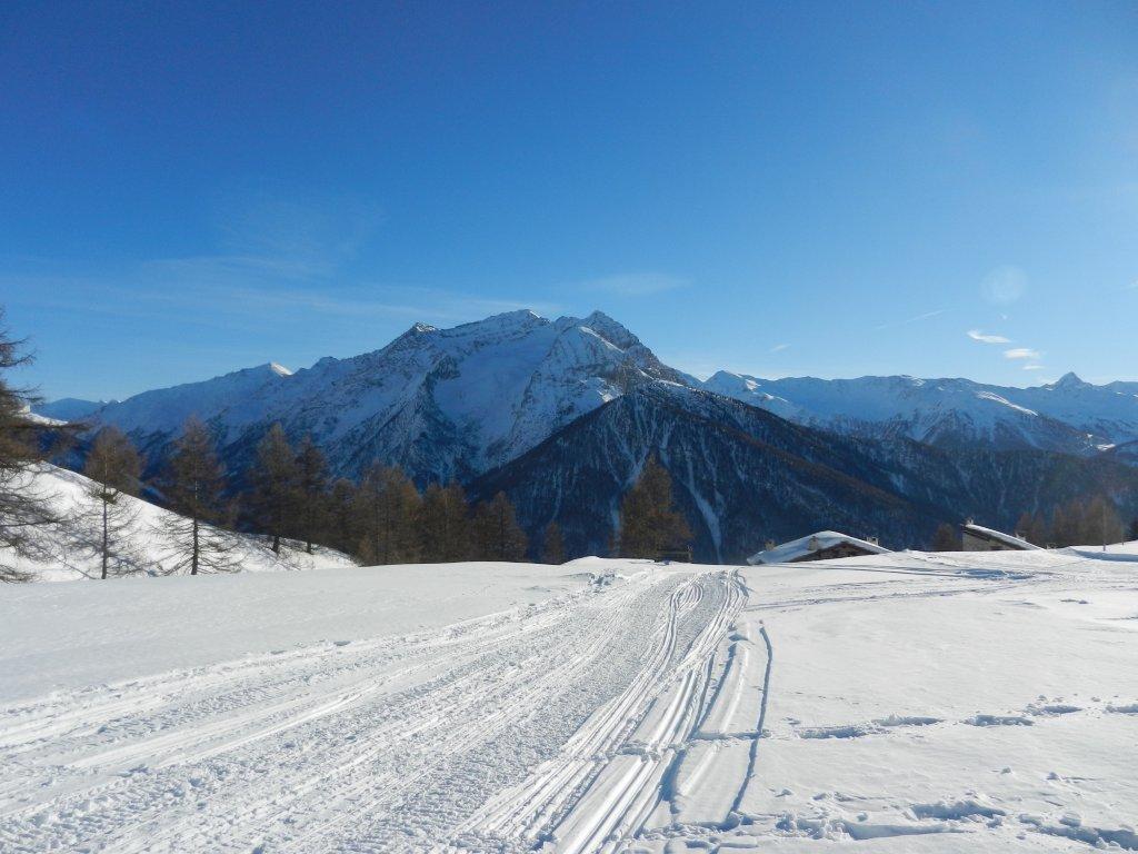
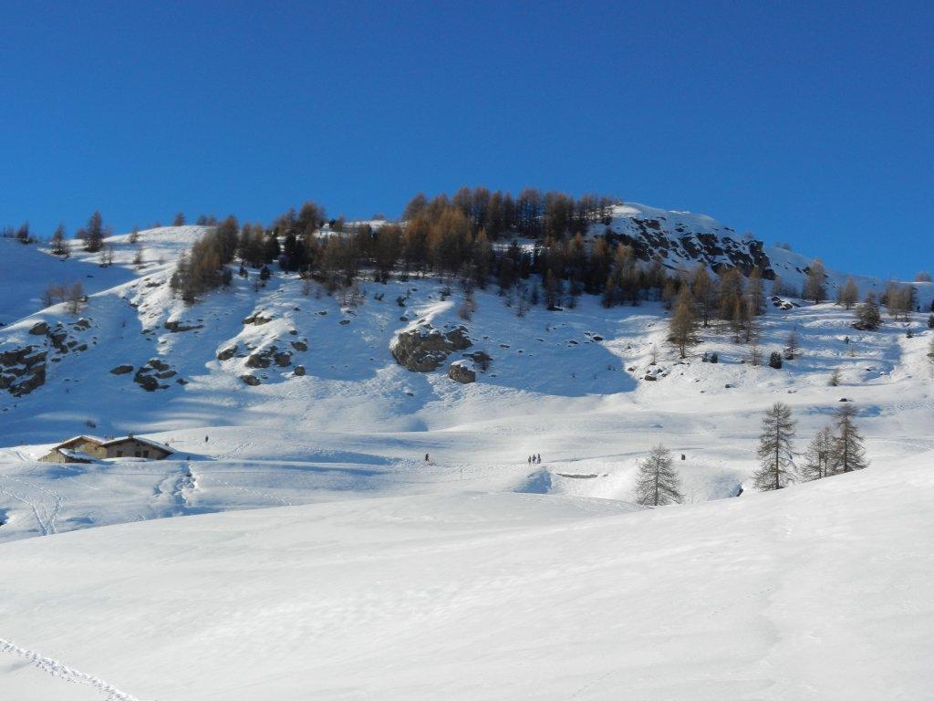
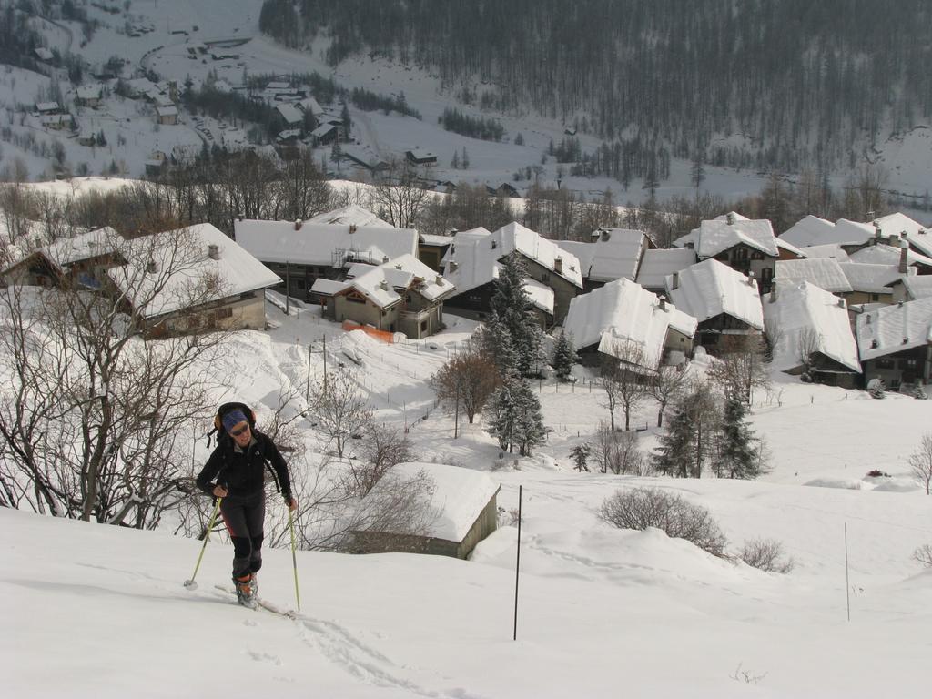
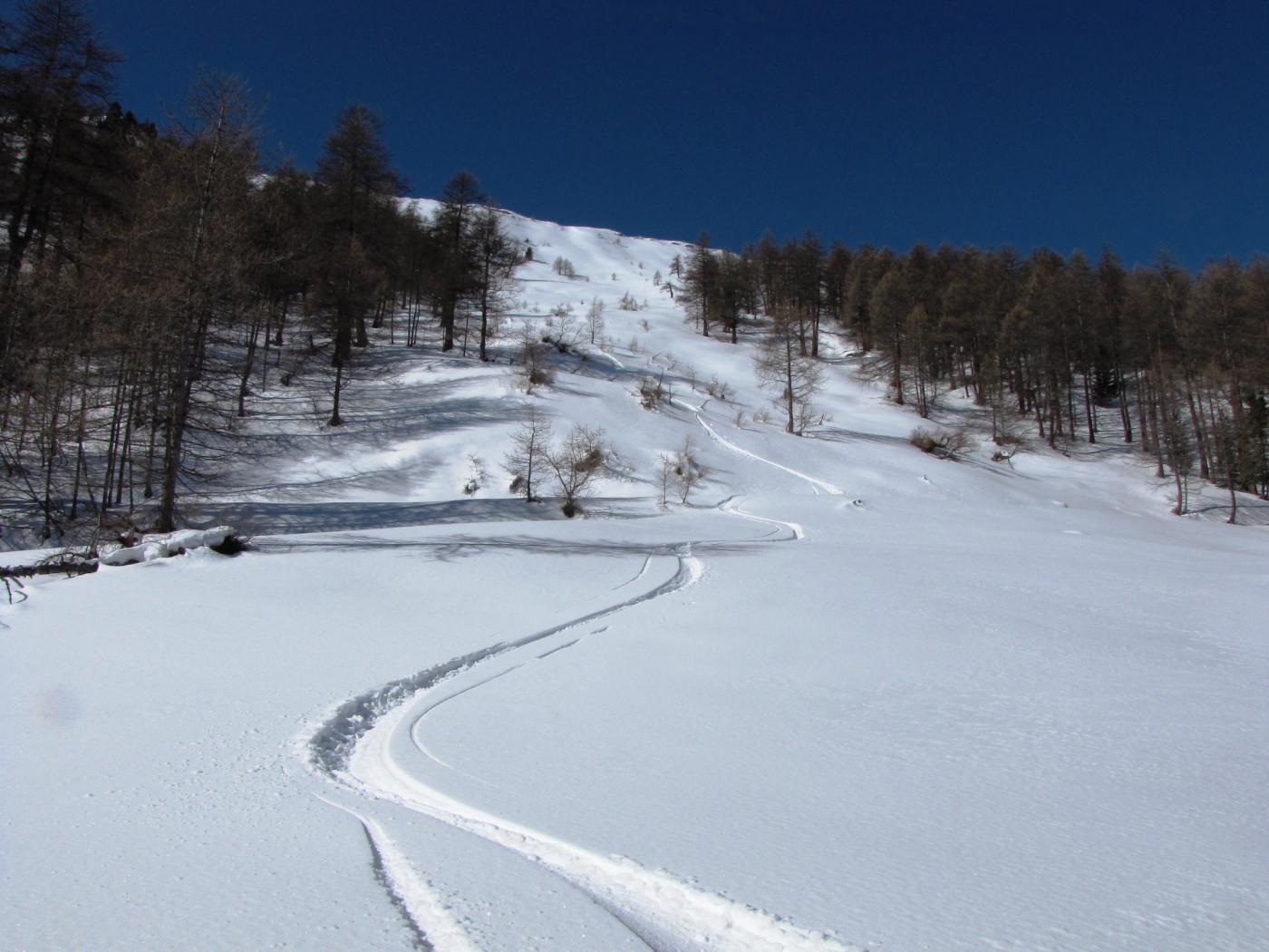
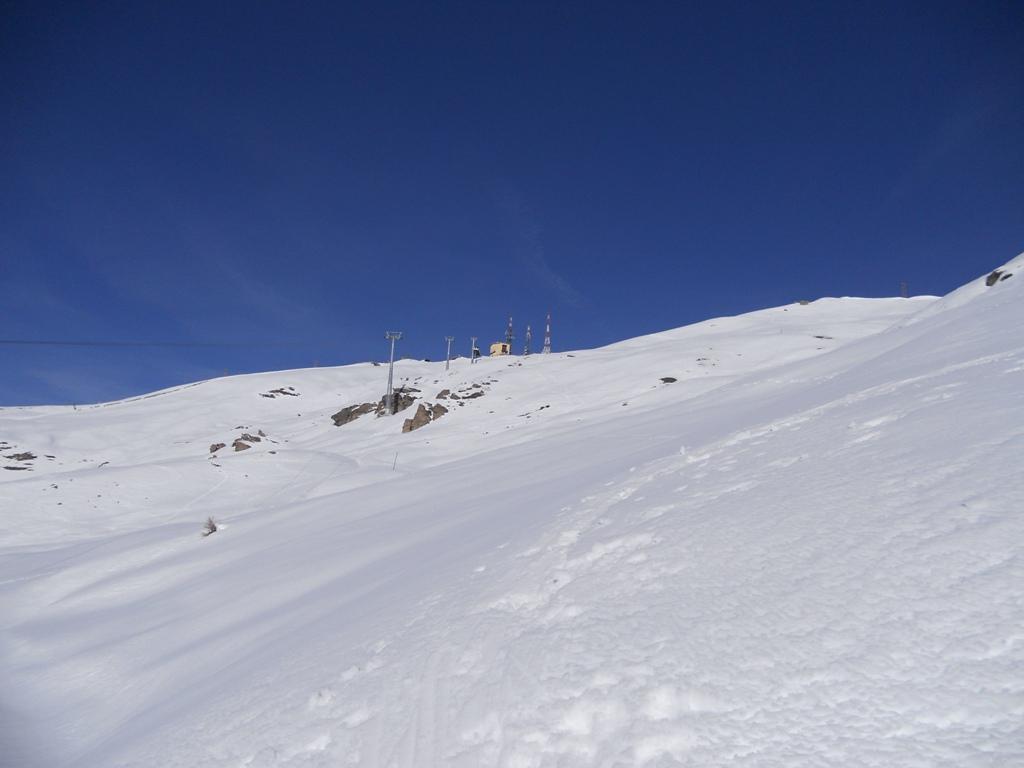
Si parte dal torntante sopra Champlas di Col (1856 m), o poco più su in prossimità di una palina. Salire tenendosi a destra (sx orografica) del Rio Roccia Bianca (non attaversanrlo seguendo il sentiero estivo o le tracce dei ciapsolari). Si raggiunge quindi il bordo del pianoro (2060 m) con le piste da fondo di Granges des Alpes. Si attraversa il pianoro e le piste verso sinistra (torrenti ora poco pronunicati) fino al bordo superiore, passando nei pressi del bar ristorante a quota 2115.
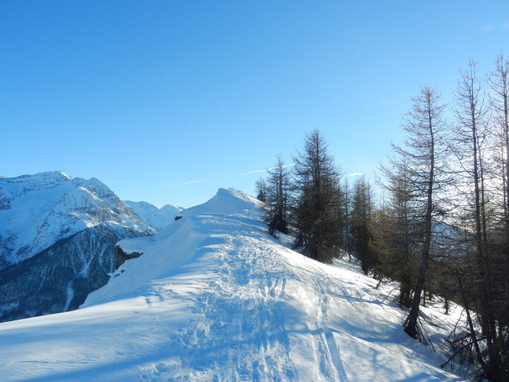
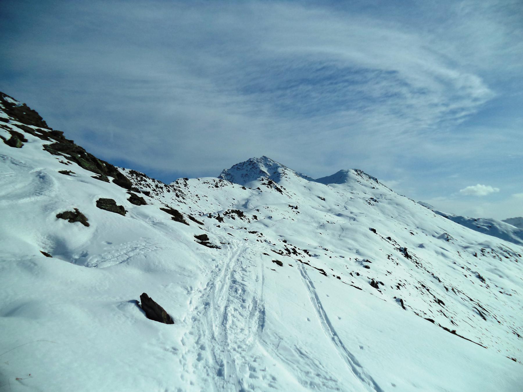
Risalire a semicerchio a sinistra tenendo a sinistra le roccette del versante sud del Monte Rotta, fino al colletto (2240 m) fra questa e la Roccia Rotonda. Di qui in pochi minuti per cresta sulla poco pronunicata cimetta (2245 m).
Discesa per l’itinerario di andata, molto bella e accessible anche come fuori pista dalle piste alte di Sansicario.
Nelle vicinanze Mappa
Itinerari
03/01/2009 TO, Sestriere D+ 951 m MS Sud
Fraiteve (Monte) da Champlas du Col
50m
06/04/2018 TO, Sauze di Cesana D+ 1000 m MS Sud
Rotonda (Roccia) da Sauze di Cesana
 1.3Km
1.3Km
02/02/2023 TO, Sauze di Cesana D+ 831 m BS Nord-Est
Bosco (Cima del) da Sauze di Cesana
 1.8Km
1.8Km
06/02/2026 TO, Sauze di Cesana D+ 916 m BS Nord-Ovest
Bosco (Cima del) da Rollières
 2Km
2Km
28/12/2009 TO, Sauze di Cesana D+ 735 m MS Sud
Rotta (Monte) da Rollieres
2.6Km
03/01/2017 TO, Cesana Torinese D+ 600 m MS Sud-Ovest
Rotta (Monte) da Champlas Seguin
 3.2Km
3.2Km
15/05/2025 TO, Sestriere D+ 700 m OS Nord-Est
Querellet (Monte) da Sestriere
 3.5Km
3.5Km
21/11/2021 TO, Sestriere D+ 638 m OS Nord-Est
Sises (Monte) da Sestriere per il versante NE
 3.5Km
3.5Km
01/02/2024 TO, Sestriere D+ 700 m MS Sud
Fraiteve (Monte) da Sestriere
 3.6Km
3.6Km
07/04/2026 TO, Sestriere D+ 493 m MS Sud-Ovest
Treceira (Costa) da Sestriere per il Col Basset
 3.6Km
3.6Km
Servizi
3.5Km
3.9Km
Misun La Font Ristorante
Sauze di Cesana
4.1Km
La Fontana del Thures Rifugio
Cesana Torinese
4.9Km
da Carlo Rifugio
Cesana Torinese
4.9Km
La Tana degli Orsi B&B
Cesana Torinese
5Km
La Crota B&B
Cesana Torinese
6.4Km
L’Ibarus Rifugio
Cesana Torinese
6.4Km
Piergiorgio Frassati B&B
Cesana Torinese
6.4Km
Casa Cesana Bar
Cesana Torinese
6.4Km