 1.9Km
1.9Km
Note
 2.8Km
4.5Km
5.3Km
7.6Km
7.6Km
2.8Km
4.5Km
5.3Km
7.6Km
7.6Km
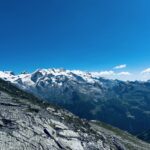
Si tratta di un percorso ad anello di circa 42 km che si presta a numerose varianti. Per lunghi tratti l'itinerario si snoda all'interno del parco del Mont Avic. I sentieri sono tutti ottimamente mantenuti.
Descrizione
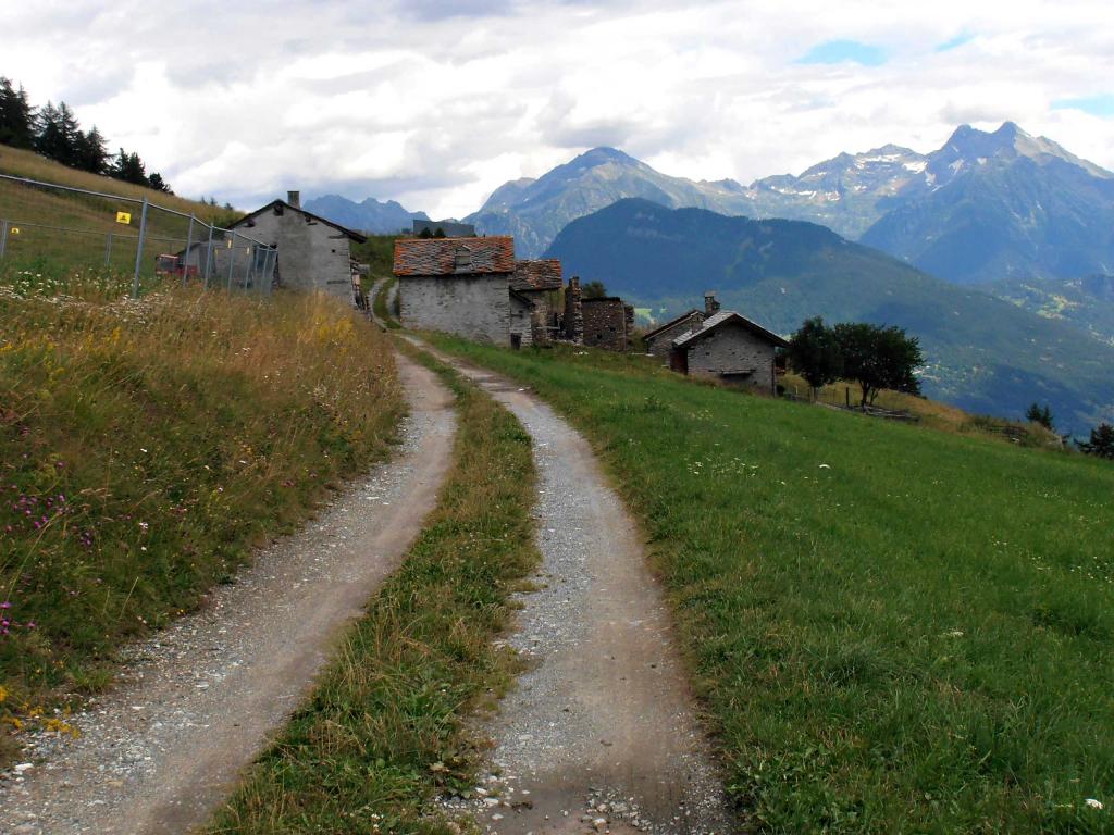
Dalla frazione Bourg di Montjovet si passa il ponte sulla Dora e si sale all’antico villaggio di Rodoz. Si prosegue a destra e in circa 2 km si giunge a Bellecombe. Da qui si seguono le indicazioni per il Monte Barbeston (n°2), dapprima su sterrata e poi sul sentiero che porta ad un colletto a quota 2100 circa, nei pressi del Mont Lyan. Da qui a destra si percorre la lunga cresta E che conduce in vetta al Barbeston. Si scende ora sul Colle di Valmeriana e Pian Tsatè raggiungendo Praz Oursie. Si prende il sentiero che attraversa i prati sotto l’alpeggio e si scende fino a raggiungere la sterrata proveniente da Veulla all’altezza del bivio per il Lago Gelato. Si continua sulla sterrata fino al suo termine e si continua sul sentiero 5c in direzione del rifugio Barbustel, passando dal lago Servaz. Giunti nei pressi dell’alpe Cousse, seguire a sinistra il sentiero 5a che in diagonale permette di raggiungere il sentiero 5 che si segue a sinistra. Si passa nei pressi del Lago Leser e al bivio successivosi prende a destra il sentiero numero 4. Dopo poco più di 4 km si incrocia la sterrata che a destra conduce all’alpeggio di Fusse. Si prosegue invece dritto in discesa fino a superare il torrente Chalamy e risalire in breve sulla carrozzabile. Breve tratto di asfalto in salita fino al villaggio di Barbustel dove si prende a destra per Capiron. Poco dopo si imbocca il sentiero che in salita conduce alle miniere di Herin. Si costeggia il caseggiato e si segue fedelmente il sentiero che con qualche saliscendi, un breve tratto attrezzato e infine in decisa discesa conduce al Col Marcage. Si prosegue ora a sinistra per ritornare a Rodoz e di qui a Bourg sul sentiero percorso all’andata.
- Cartografia:
- L'escursionista - 13 Valle Centrale
Nelle vicinanze Mappa
Itinerari
17/08/2019 AO, Emarese D+ 1400 m Varie
Trail Emarese
 2.8Km
2.8Km
25/04/2007 AO, Montjovet D+ 1100 m Varie
Comagna (Testa di) dal Col d’Arlaz, anello per i colli Tzecore e de Joux
4.5Km
08/06/2013 AO, Saint-Vincent D+ 1050 m Sud
Joux (Col de) da Saint Vincent
 4.5Km
4.5Km
14/05/2012 AO, Saint-Vincent D+ 2700 m Tutte
Gilliarey (Oratorio di) e Col de Bornes da Saint Vincent, anello della bassa Valtournenche
4.5Km
02/10/2019 AO, Châtillon D+ 1985 m Sud
Zerbion (Monte) da Domianaz
 5.3Km
5.3Km
22/04/2012 AO, Verrès D+ 3300 m Varie
Balconata di Bassa Valle da Verres
6.4Km
13/07/2024 AO, Extrepiéraz D+ 1750 m Varie
Palasina (Colle di) da Extrapieraz, anello per Mascognaz e Rifugio Arp
 7.6Km
7.6Km
16/10/2025 AO, Brusson D+ 850 m Varie
Comagna (Testa di) da Extrapieraz, anello per Col de Joux ed Emarese
7.6Km
25/08/2011 AO, Brusson D+ 1600 m Varie
Zerbion (Monte) da Extrepieraz, giro
7.6Km
20/07/2024 AO, Brusson D+ 2000 m Varie
Nana (Bec di) o Falconetta da Extrapieraz per il Ru Cortod, anello per il Rifugio Tournalin
 7.6Km
7.6Km