 2Km
2Km
Note
 1.6Km
2Km
4.8Km
5.2Km
5.8Km
5.9Km
9.3Km
1.6Km
2Km
4.8Km
5.2Km
5.8Km
5.9Km
9.3Km
2Km
2Km
2Km
2Km
5.6Km
6.2Km
6.2Km
6.9Km
7.2Km
7.2Km
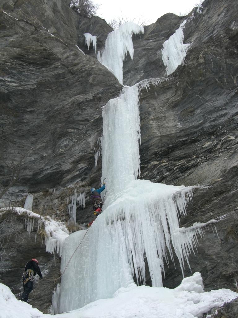
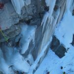
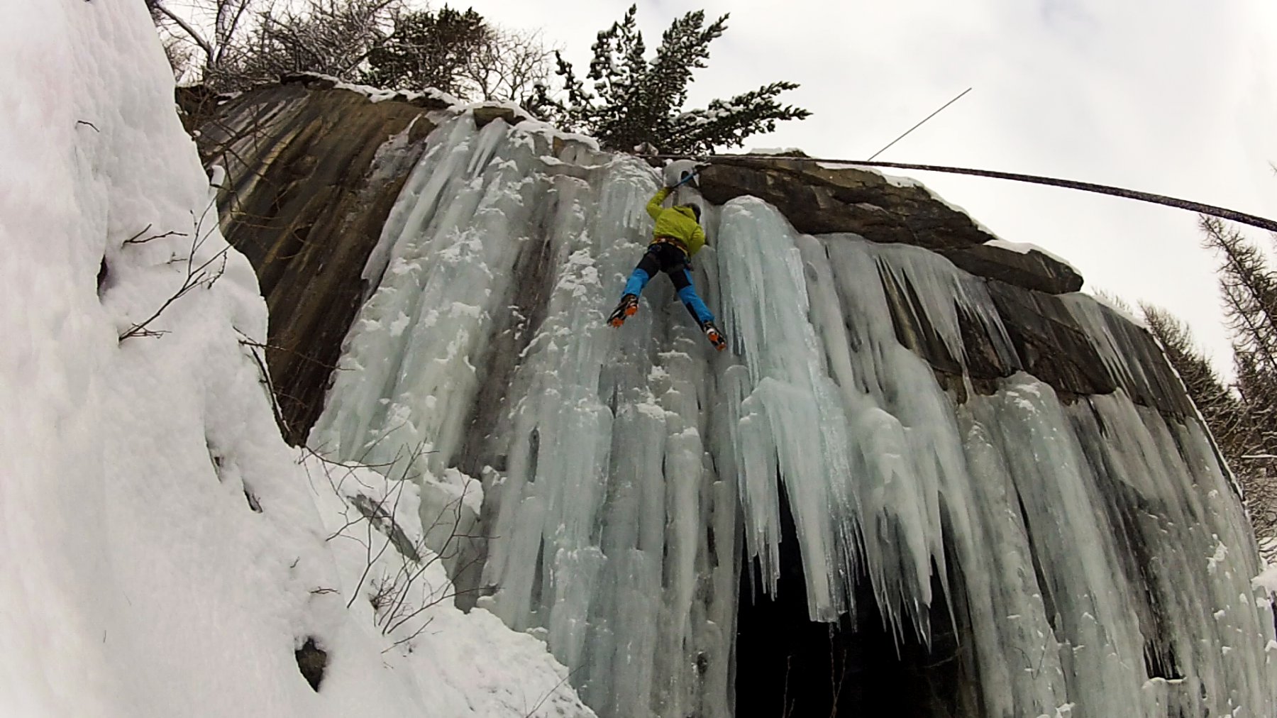
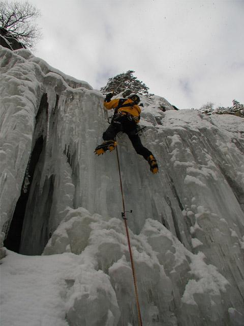
a dx della canna e della canna bis piccolo anfiteatro. è la linea di dx.
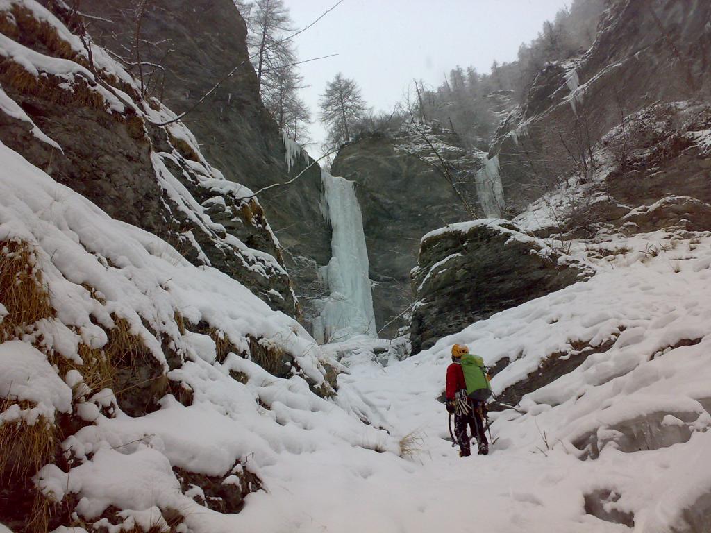
Avvicinamento
,
Descrizione
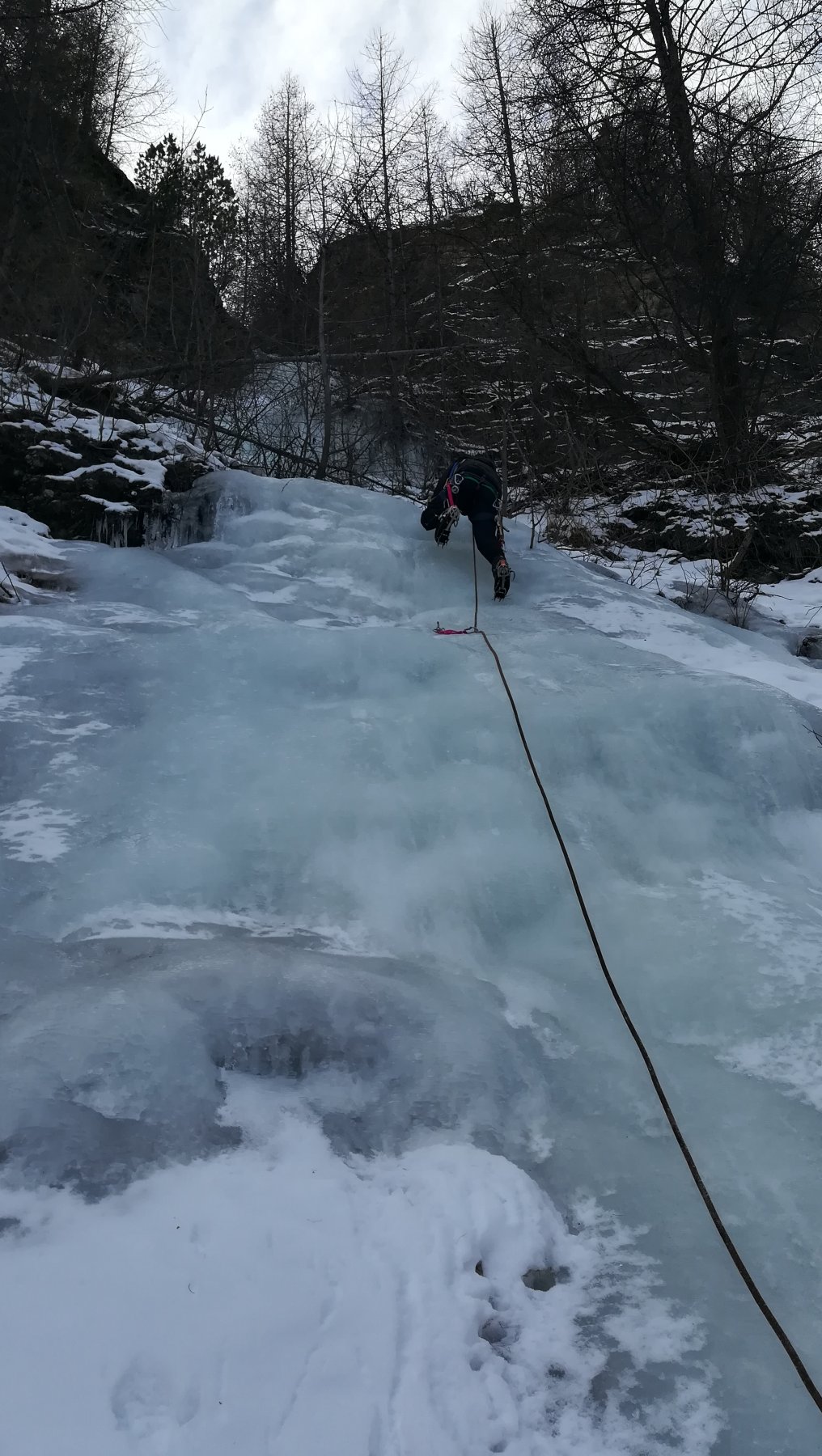
L1: muretto di 3-4 mt a 90° alberello a sx x sosta
brevissimo trasfrimento
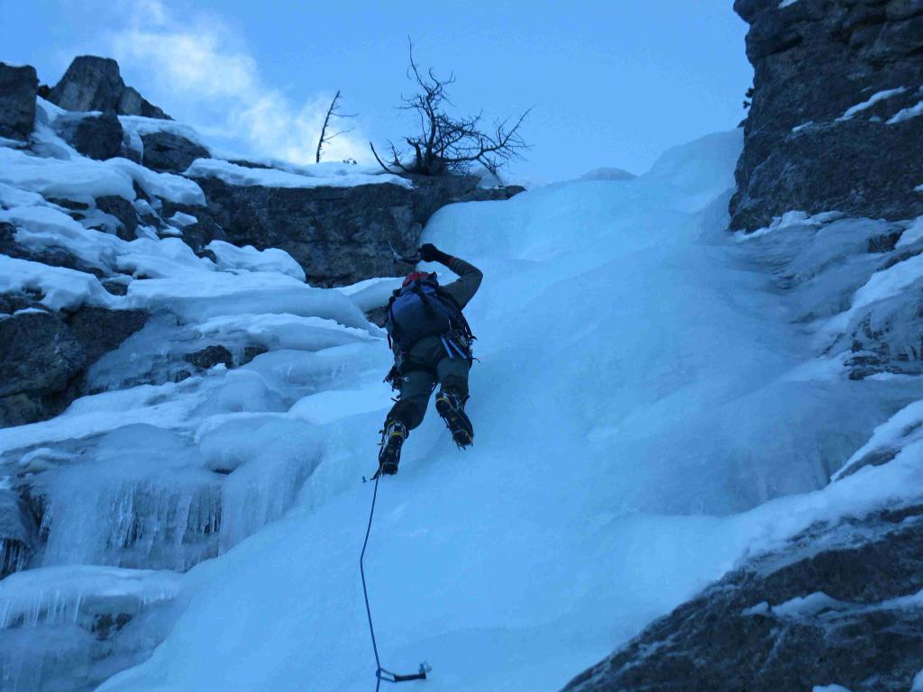
L2: 14 mt a 85/90° poi canale fin sotto la candela dove si sosta su ghiaccio
L3: 15 mt a 90° poi più facile fino all’uscita sosta su arberello.
DISCESA con 1 doppia (60 mt ) dall’alberello ( lasciato cordino con maillon) fino alla base di L2. poi breve discesa a piedi e doppietta con una corda sola da altro alberello.
Nelle vicinanze Mappa
Itinerari
27/02/2013 TO, Cesana Torinese 50 m II, 5 Nord-Est
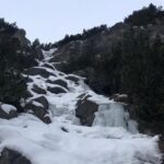
Fenils – Canna di Fenils (Cascata)
 1.6Km
1.6Km
08/02/2004 TO, Cesana Torinese 40 m II, 4 Nord
Fenils – Oigoma: Amore di Cristallo (Cascata)
1.8Km
30/12/2021 TO, Cesana Torinese 100 m II, 3 Nord-Ovest
Val Thuras – Griserie (Couloir delle)
 2Km
2Km
24/12/2010 TO, Claviere 80 m I, 4 Nord
Claviere – Natale in Tibet (Goulotte)
4.6Km
10/03/2011 TO, Claviere 80 m I, 3+ Nord
Claviere – Apnea (Goulotte)
4.6Km
28/12/2020 TO, Claviere 200 m II, 2+ Sud-Est
Claviere – Batteria Alta (Cascata della)
 4.8Km
4.8Km
30/12/2024 TO, Calviere 25 m I, 5+, M8 Nord
Claviere – Cava Catella (Cascate)
 5.2Km
5.2Km
04/01/2016 TO, Cesana Torinese 10 m II, 4 Nord
Bousson – Cava del Marmo Verde (Cascata della)
 5.8Km
5.8Km
27/01/2019 TO, Cesana Torinese 100 m II, 2 Est
Bousson – Iniziazione (Cascata dell’)
 5.9Km
5.9Km
13/01/2008 TO, Oulx 110 m II, 2 Sud-Est
Beaume – Due Amici (Cascata dei)
 9.3Km
9.3Km
Servizi
2Km
2Km
L’Ibarus Rifugio
Cesana Torinese
2Km
Piergiorgio Frassati B&B
Cesana Torinese
2Km
Casa Cesana Bar
Cesana Torinese
5.6Km
Centro Ristorante
Cesana Torinese
6.2Km
La Chardouse Rifugio
Oulx
6.2Km
Baita Gimont Rifugio
Claviere
6.9Km
La Fontana del Thures Rifugio
Cesana Torinese
7.2Km
La Moretta Ristorante
Oulx
7.2Km


