1.3Km
1.3Km
Descrizione
 1.7Km
1.7Km
1.7Km
1.7Km
1.7Km
1.7Km
1.7Km
1.7Km
1.7Km
1.7Km
1.7Km
1.7Km
1.7Km
1.7Km
1.7Km
1.7Km
1.7Km
1.7Km
1.3Km
2.8Km
3.3Km
3.3Km
3.3Km
3.3Km
4.5Km
4.5Km
4.5Km
6.8Km
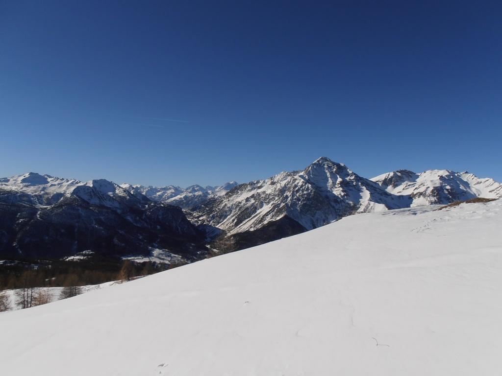
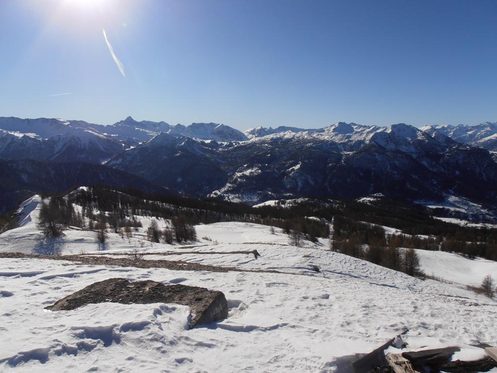
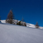
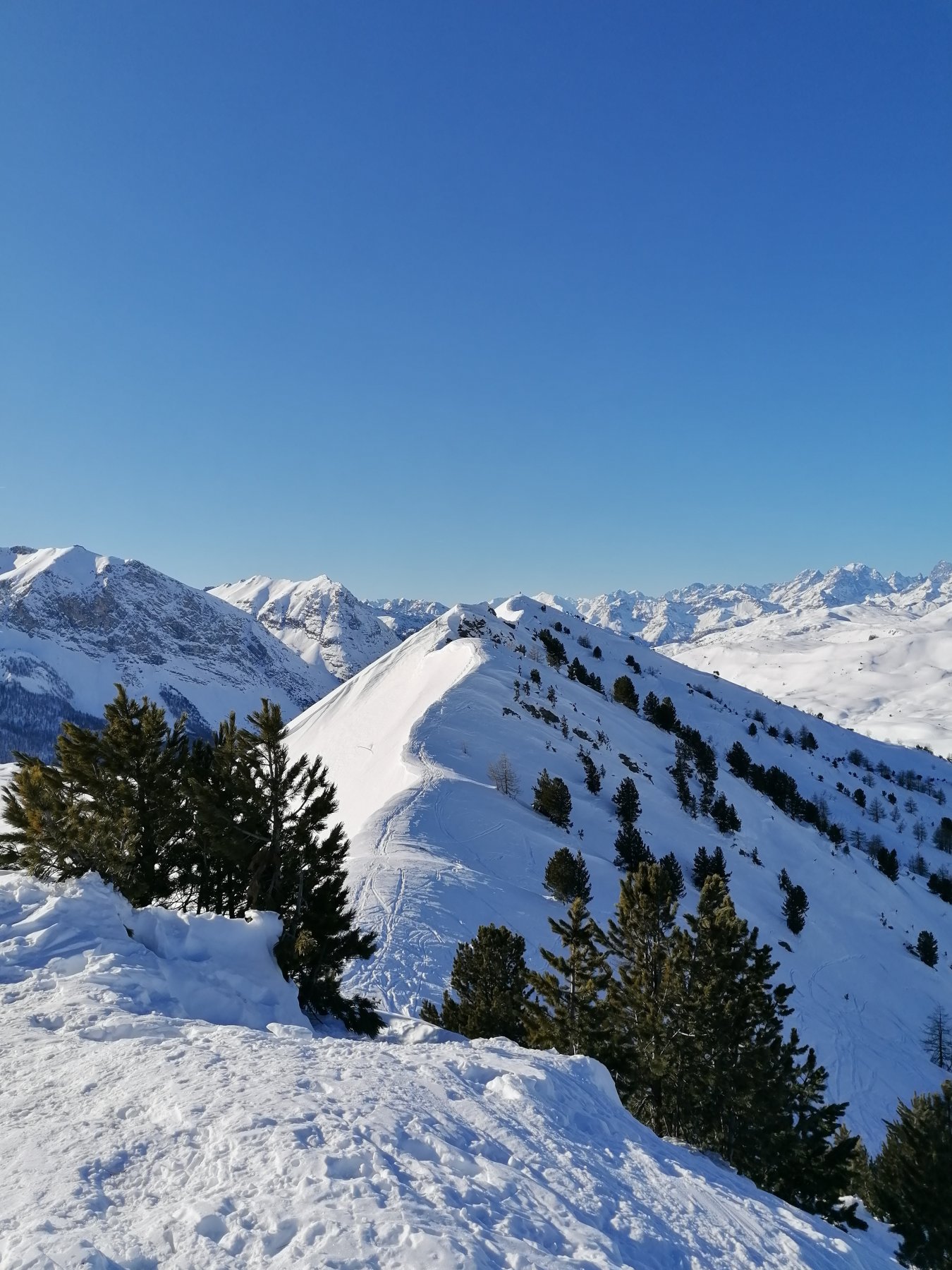
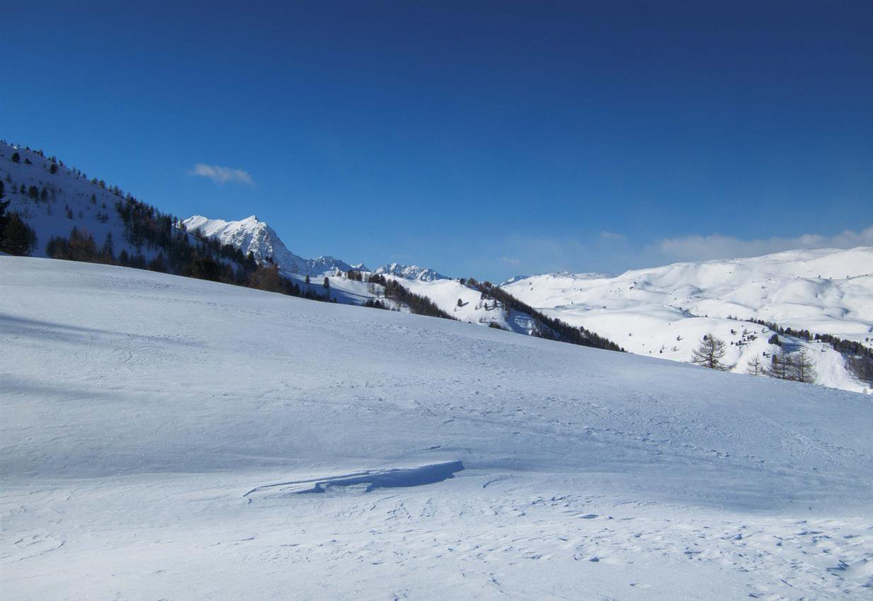
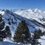
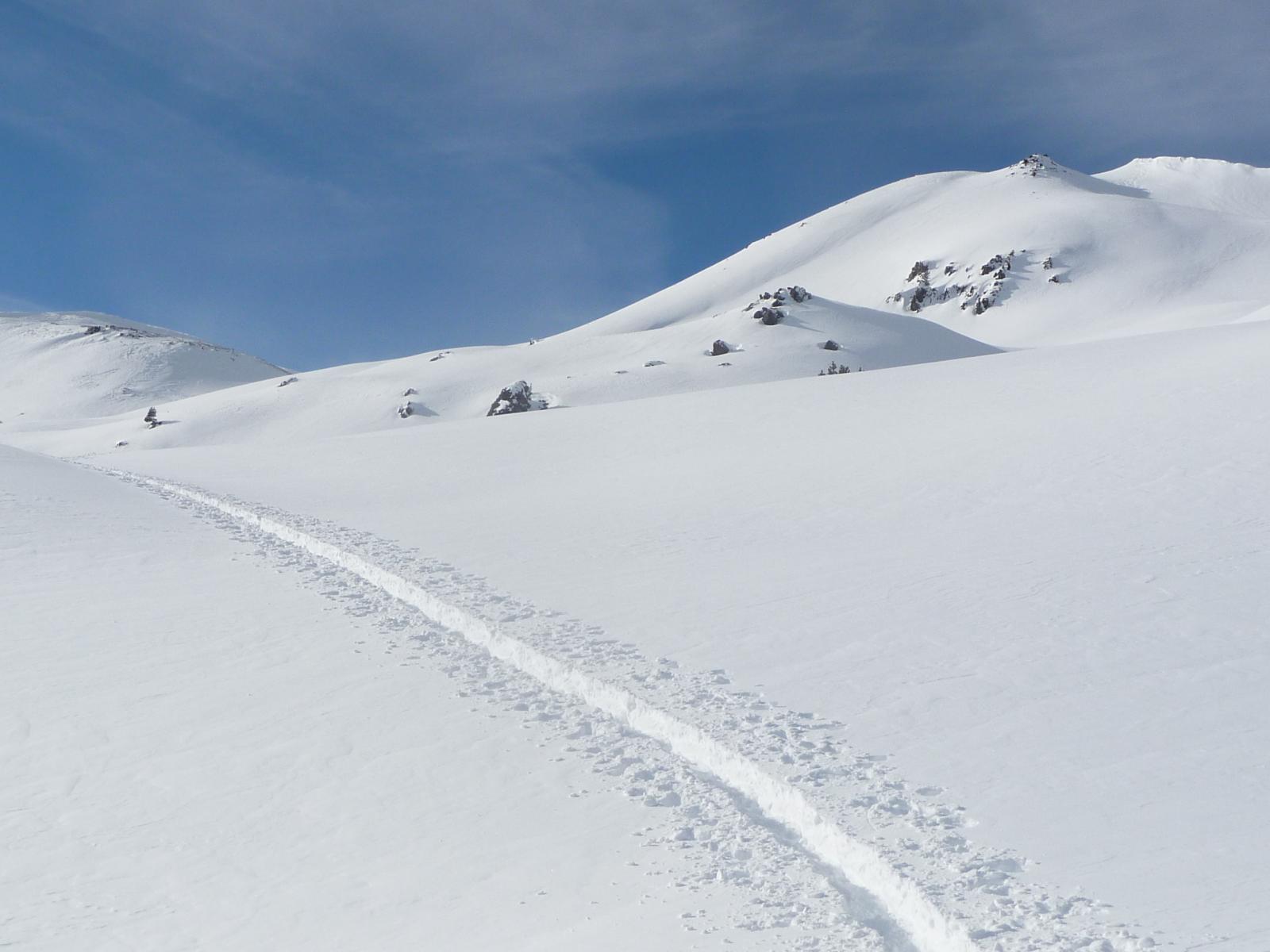
Dal centro paese di Champlas Seguin seguire la ripida stradina (Battuta) che sale in direzione Ovest, e successivamente Nord, fino ad arrivare ai ruderi del forte Champlas Seguin.
Da quì proseguire brevemente sulla cresta fino a giungere in prossimità del bar “Chalmettes”. (Con scarso innevamento è consigliabile seguire la linea di un vecchio skilift dismesso che parte dal forte ed arriva al bar Chalmettes).
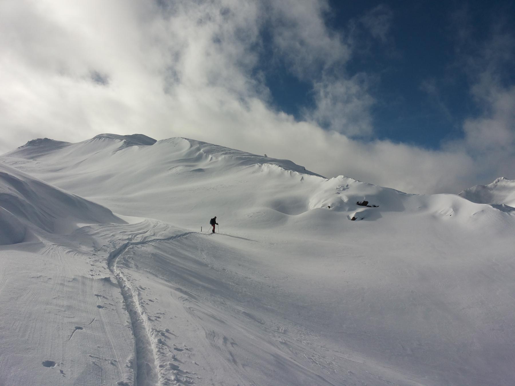
Da quì seguire la strada battuta sul versante di Sansicario che dopo qualche bivio e tornante (Prendere come punto di riferimento l’evidente cima della Roccia Rotonda)porta all’arrivo di una seggiovia sotto la Roccia Rotonda.
Si può anche salire su ampi pendii aperti/bosco rado evitando la strada.
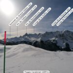
Raggiungendo la cresta della montagna si arriva alla fine di uno skilift dismesso (Quota 2290) e ci si trova sopra il Monte Rotta, facilmente raggiungibile scendendo sulla cresta della montagna.
Discesa per ampi penddi o bosco rado fino a Champlas Seguin.
- Cartografia:
- Fraternali 1:25.000 n. 2 Alta Valle di Susa e Alta Val Chisone
Nelle vicinanze Mappa
Itinerari
28/12/2009 TO, Sauze di Cesana D+ 735 m MS Sud
Rotta (Monte) da Rollieres
1.5Km
18/03/2026 TO, Cesana Torinese D+ 740 m MS Est
Carabinieri (Poggio dei) da Bousson
 1.7Km
1.7Km
28/03/2026 TO, Cesana Torinese D+ 1032 m MS Nord-Est
Saurel (Cima) da Bousson
 1.7Km
1.7Km
15/02/2026 TO, Cesana Torinese D+ 961 m MS Sud-Est
Luna (Roc la) da Bousson
 1.7Km
1.7Km
01/01/2020 TO, Cesana Torinese D+ 1400 m MS Nord-Ovest
Giassiez (Monte) o Giaissez da Bousson, anello per il Monte Begino e il Lago Nero
 1.7Km
1.7Km
25/01/2026 TO, Cesana Torinese D+ 900 m MS Nord
Begino (Colle) da Bousson
 1.7Km
1.7Km
09/04/2025 TO, Cesana Torinese D+ 993 m MS Nord
Begino (Monte) da Bousson
 1.7Km
1.7Km
14/01/2024 TO, Cesana Torinese BS Tutte
Luna (Costa la) da Bousson
 1.7Km
1.7Km
22/12/2020 TO, Cesana Torinese D+ 1550 m BS Varie
Gimont (Monte) o Gran Grand Charvia da Bousson, giro per Colle Bercia
 1.7Km
1.7Km
23/03/2025 TO, Cesana torinese D+ 1000 m MS Nord
Chabaud (Colle) da Bousson per Col Bousson e Capanna Mautino
 1.7Km
1.7Km
Servizi
1.3Km
2.8Km
La Fontana del Thures Rifugio
Cesana Torinese
3.3Km
L’Ibarus Rifugio
Cesana Torinese
3.3Km
Piergiorgio Frassati B&B
Cesana Torinese
3.3Km
Casa Cesana Bar
Cesana Torinese
3.3Km
Ottima Scelta Ristorante
Cesana Torinese
4.5Km
La Crota B&B
Cesana Torinese
4.5Km
da Carlo Rifugio
Cesana Torinese
4.5Km
La Tana degli Orsi B&B
Cesana Torinese
6.8Km