 1.5Km
1.5Km
Note
Storico
 750m
900m
1.2Km
1.2Km
2.1Km
2.1Km
2.3Km
2.4Km
2.4Km
750m
900m
1.2Km
1.2Km
2.1Km
2.1Km
2.3Km
2.4Km
2.4Km
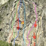
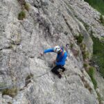
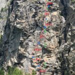
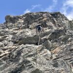
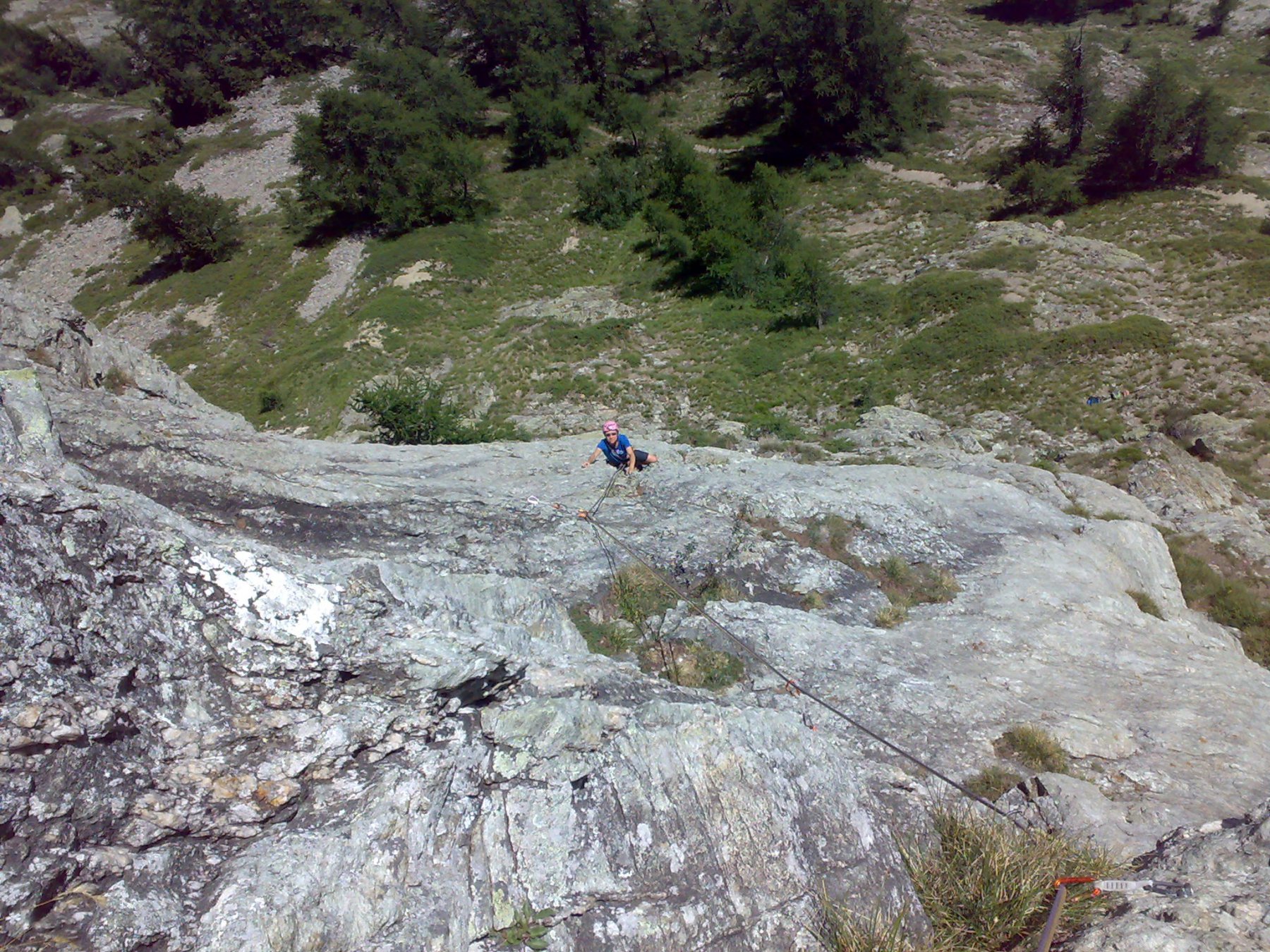
Via di placca con traverso tecnico d'aderenza e belle lame e fessure, roccia ottima.
In zona avevamo chiodato un'altra via nel 2001 con diff max 7b, 120m
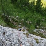
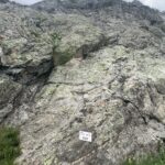
Avvicinamento
In zona avevamo chiodato un'altra via nel 2001 con diff max 7b, 120m
Lasciare l'auto al bivio per entreves, sopra il paravalanghe tornare a piedi in direzione di courmayeur fin sotto il pilastro Bertone, e salire su terreno ripido tra piante e pietraia con paramassi, la via parte a destra della parete
Descrizione
L1 6c+ 35m
L2 7a+ 30m
L3 6c 30m. corda sufficente singola da 60 metri.
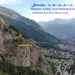
Patrick Raspo e Massimo Bal hanno chiodato una via che segue un'itinerario aperto arditamente con molta probabilità da Giorgio Bertone usando chiodi a pressione, trttasi ora di 3 tiri
Nelle vicinanze Mappa
Itinerari
31/08/2022 AO, Courmayeur 7a, 6b+ obbl. Ovest
Saxe (Mont de la) – Birintite
 750m
750m
29/08/2025 AO, Courmayeur 8a, 7a obbl. Nord-Ovest
Saxe (Mont de la) – Nato l’8 Luglio
 900m
900m
24/07/2025 AO, Courmayeur 6a+, 5c obbl. Sud
Eveque (Aiguille de l’), contrafforti – Impressioni di Settembre
 1.2Km
1.2Km
06/06/2024 AO, Courmayeur 6c+, 6b obbl. Ovest
Saxe (Mont de la), Pilastro Bertone – Solo per Vecchi Coglioni
 1.2Km
1.2Km
04/10/2025 AO, Courmayeur 6a+, 6a obbl. Sud-Ovest
Chetif (Mont) – Incredulix
2.1Km
22/08/2025 AO, Courmayeur 6a, 5c obbl. Sud-Est
Chetif (Mont) – Pierre Navigatore delle Creste
 2.1Km
2.1Km
08/07/2023 AO, Courmayeur 6b+, 6a obbl. Sud-Est
Chetif (Mont) – Bersagli Mobili
 2.1Km
2.1Km
02/07/2026 AO, Courmayeur 5c, 5a obbl. Nord-Ovest
Chetif (Mont) – 27 Luglio
 2.3Km
2.3Km
20/08/2023 AO, Courmayeur 6a+, 6a obbl. Nord-Est
Chetif (Mont) – Madonna dell’Est o Madonnina
 2.4Km
2.4Km
10/08/2024 AO, Courmayeur 5a, 4 obbl. Sud-Est
Chetif (Mont) – Alisee e gli Amici Canterini
 2.4Km
2.4Km