250m
250m


Note
 50m
50m
50m
50m
50m
3.7Km
3.7Km
3.7Km
3.7Km
50m
50m
50m
50m
50m
3.7Km
3.7Km
3.7Km
3.7Km
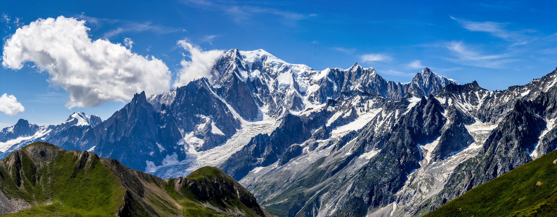
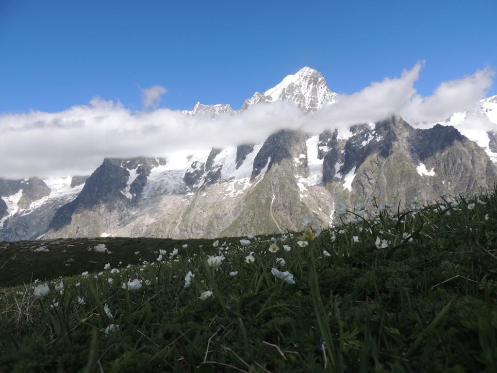
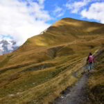
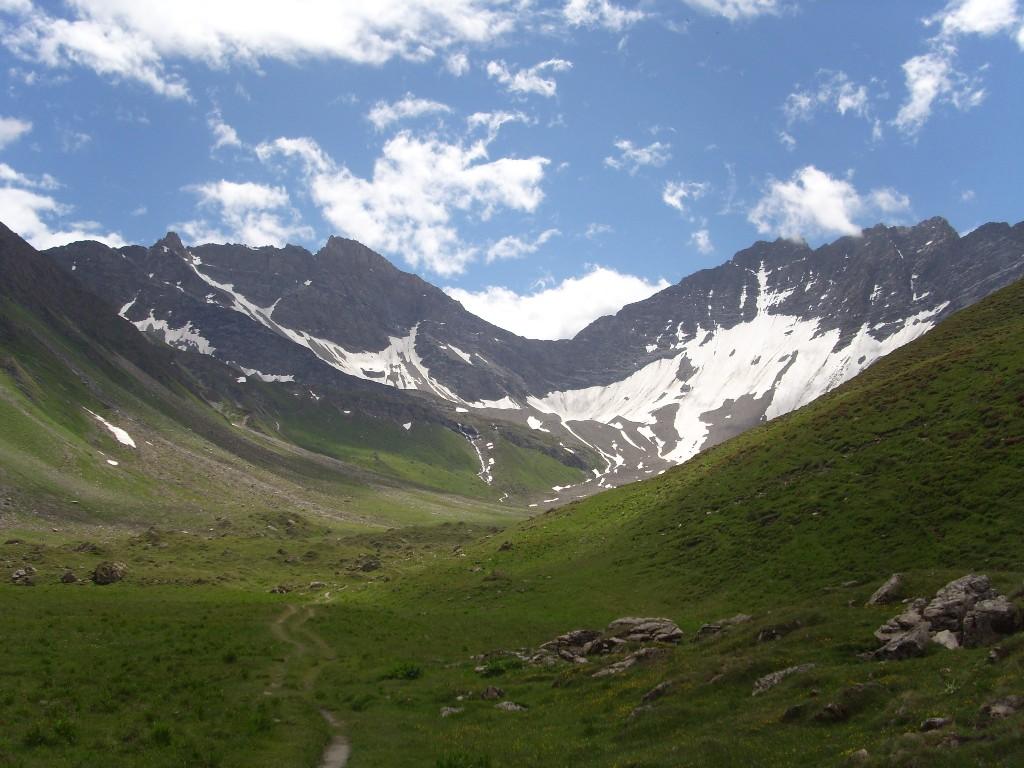
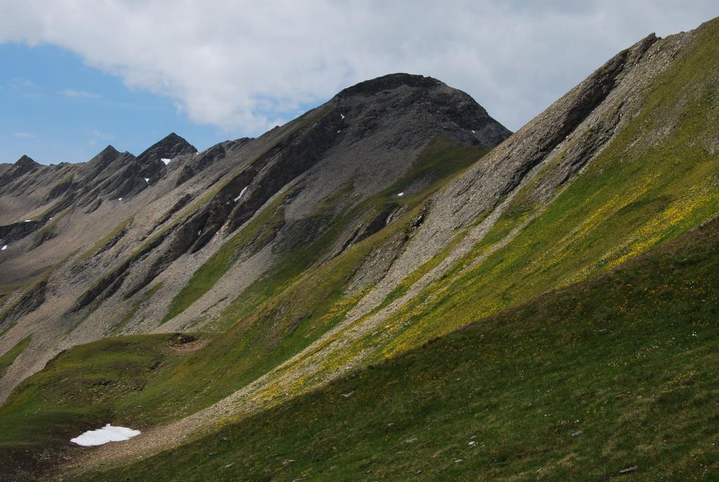
Tutto il sentiero è ben segnato con qualche tratto un po' ripido ma mai esposto. Tutti gli alpeggi sono malandati e sembrano in disuso. Il giro è lungo circa 2o km e il dislivello complessivo ( qualche saliscendi) è di 1350 metri.
Avvicinamento
,
Descrizione
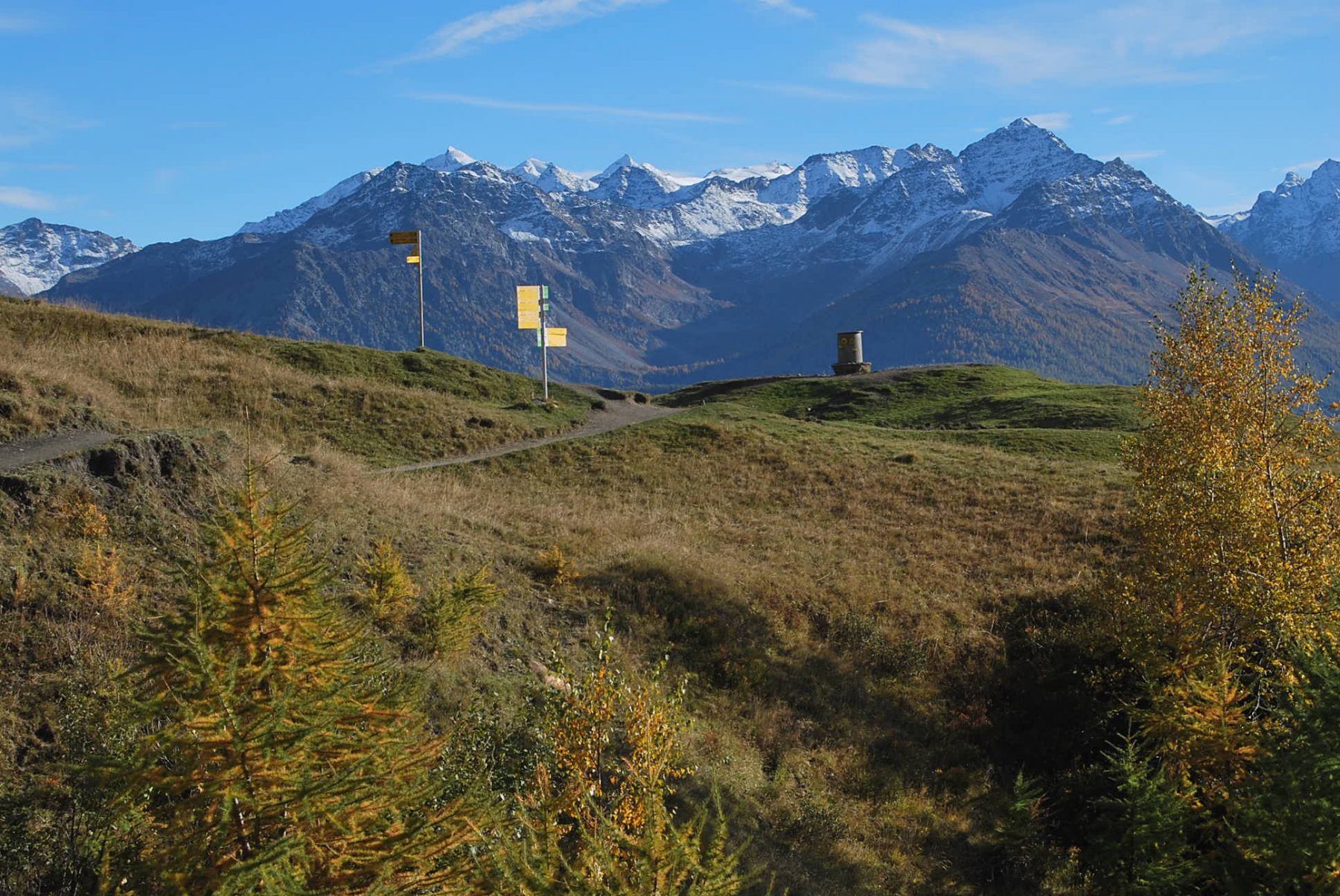
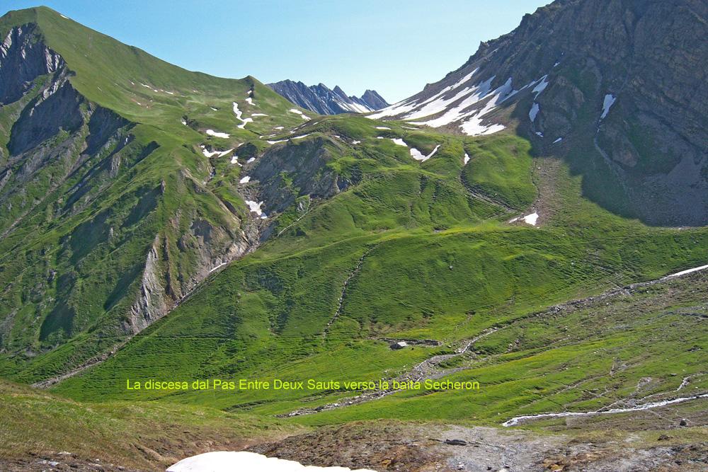
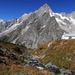
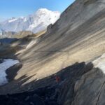
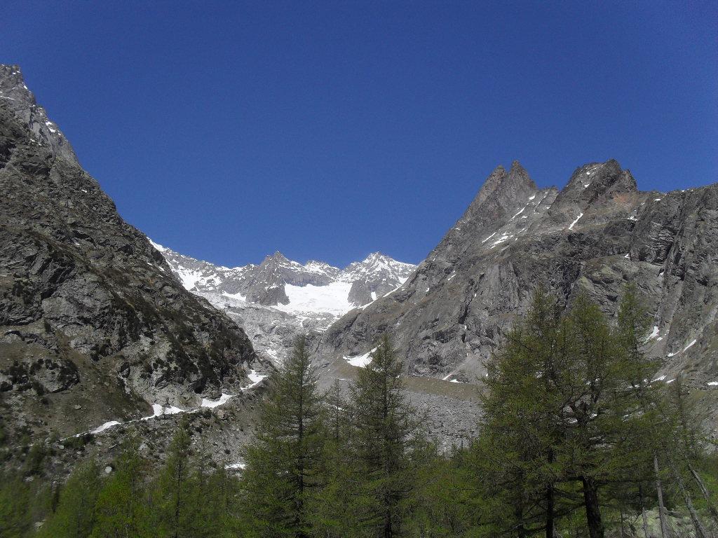
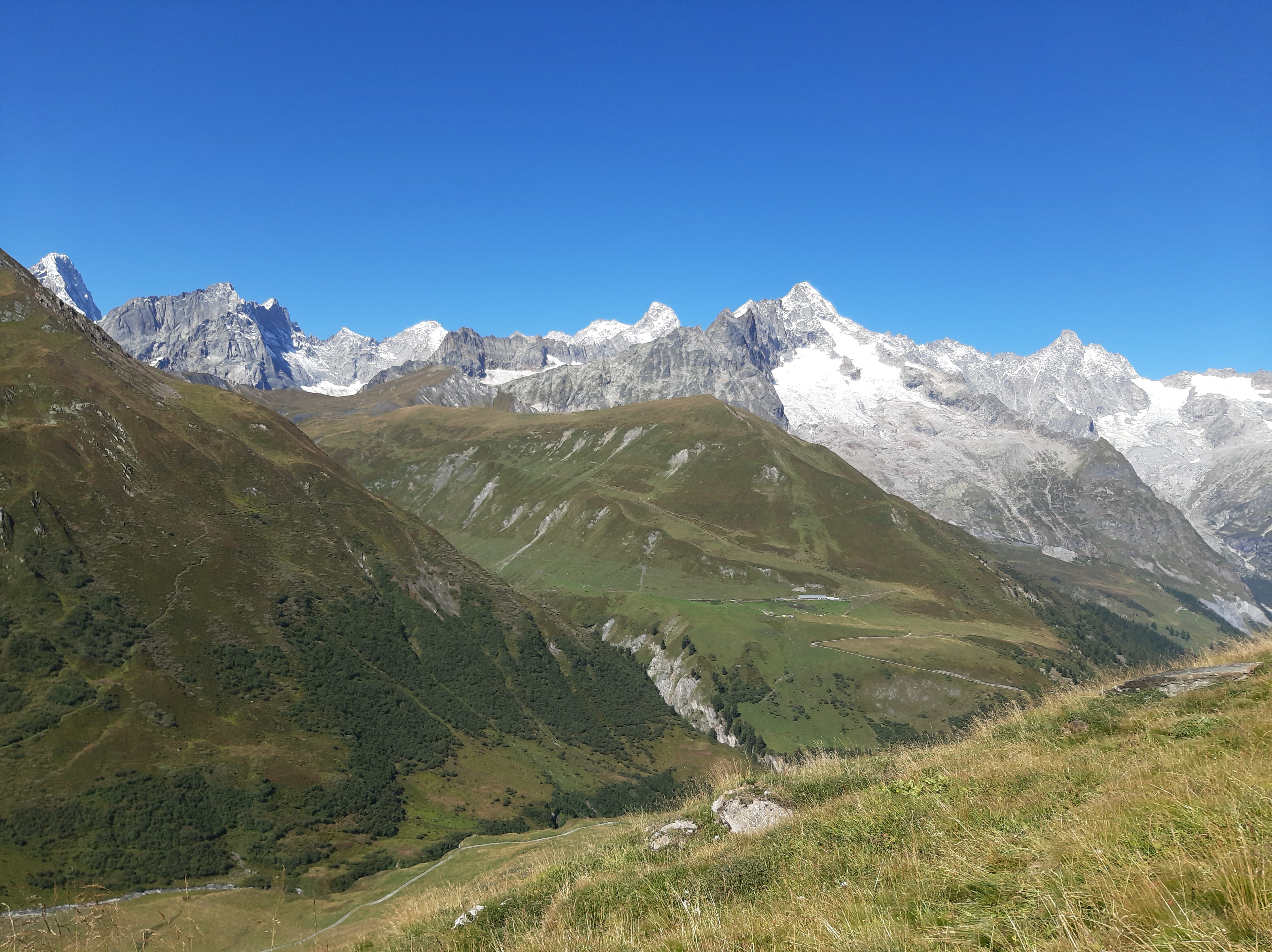
Da la Vachey 1640 m si sale un paio di tornanti e subito prima del ponte sulla Dora si può lasciare l’auto e c’è una palina con le indicazioni per il rifugio Bonatti. Superato il rifugio si arriva in poco tempo all’alpe Malatrà dove ci sono indicazioni per il sentiero per il Pas Entre Deux Sauts (n.42 ). Non lasciarsi tentare di seguire l’alta via n.1 con il triangolo, perchè porta al colle di Malatrà, ma tenersi sulla destra sempre sul sentiero 42 ( marcato anche con TMB ). Dal passo EntreDeux Sauts 2524 m. Si scende fino al greto del torrente Armina, che forma una bella cascata, in prossimità dell’Alpe Secheron 2250 m che si vede all’ultimo momento. Si sale sempre su traccia marcata con il n.42 al Col Sapin 2436 m e da quì con un sentiero ripido, alla Tete de La Tronche 2584 m. Si scende ad un colle e si sale attraverso i prati fino alla Testa Bernarda 2534 m. Si continua riprendendo poco in basso il sentiero battutissimo che porta al rifugio Bertone 2000 m. Poco sopra il rifugio c’è una piazzola con un disco di orientamento sistemato su un pilastrino e vicino una tabella con le indicazioni per il rifugio Bonatti. Il sentiero pianeggia per più di cinque chilometri con piccoli saliscendi e passa accanto agli alpeggi di Leuchey 1929 m, La Leche 1902 m, Armina 2009 m e Secheron 1924 m. Al Secheron lasciare il sentiero che continua dritto per il Bonatti e scendere a sinistra sulla stradina che parte dalle baite che riporta al parcheggio.
- Cartografia:
- Massiccio monte Bianco IGC Nr.4
Nelle vicinanze Mappa
Itinerari
10/11/2024 AO, Courmayeur D+ 439 m E Nord-Ovest
Bonatti Walter (Rifugio) da Lavachey
 50m
50m
04/09/2022 AO, Courmayeur D+ 1050 m E Varie
Entre Deux Sauts (Tète) da Lavachey, anello
 50m
50m
01/10/2021 AO, Courmayeur D+ 1200 m E Nord
Malatrà (Col de) da Lavachey
 50m
50m
19/08/2015 AO, Courmayeur D+ 303 m T Nord
Elena (Rifugio) da Lavachey
 50m
50m
19/09/2010 AO, Courmayeur D+ 1090 m E Nord-Ovest
Entre Deux Sauts (Tète) da Lavachey per il Vallone Malatrà
 50m
50m
02/10/2016 AO, Courmayeur D+ 931 m EE Nord-Ovest
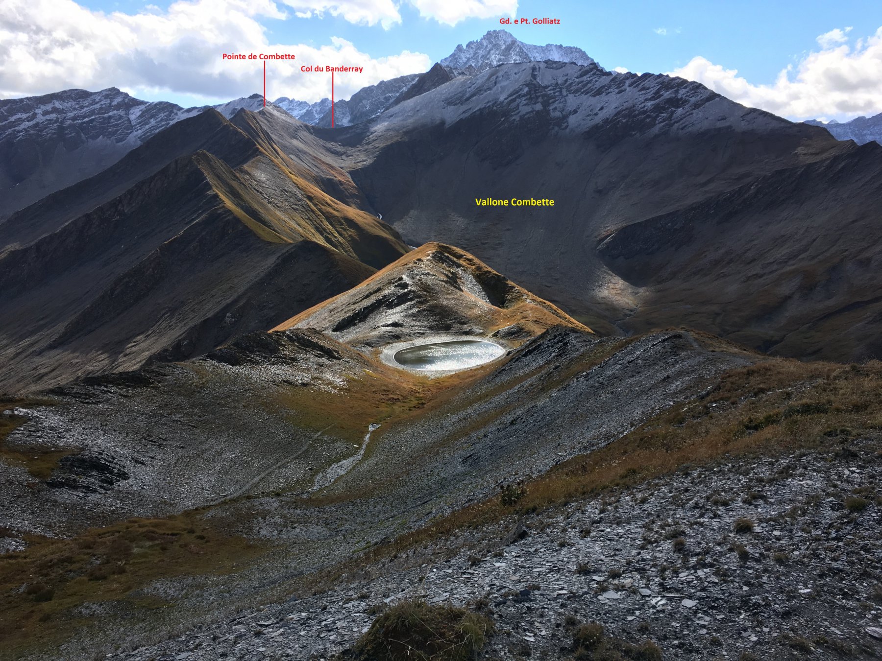
Bandarray (Col du) da Arnouva
 3.7Km
3.7Km
03/09/2025 AO, Courmayeur E Varie
Gran Ferret (Col du) e Col du Petit Ferret da Arnouva, anello
 3.7Km
3.7Km
21/11/2011 AO, Courmayeur D+ 741 m EE Sud
Petit Ferret (Col du) da Arnouva
3.7Km
21/08/2016 AO, Courmayeur D+ 1125 m EEA Varie
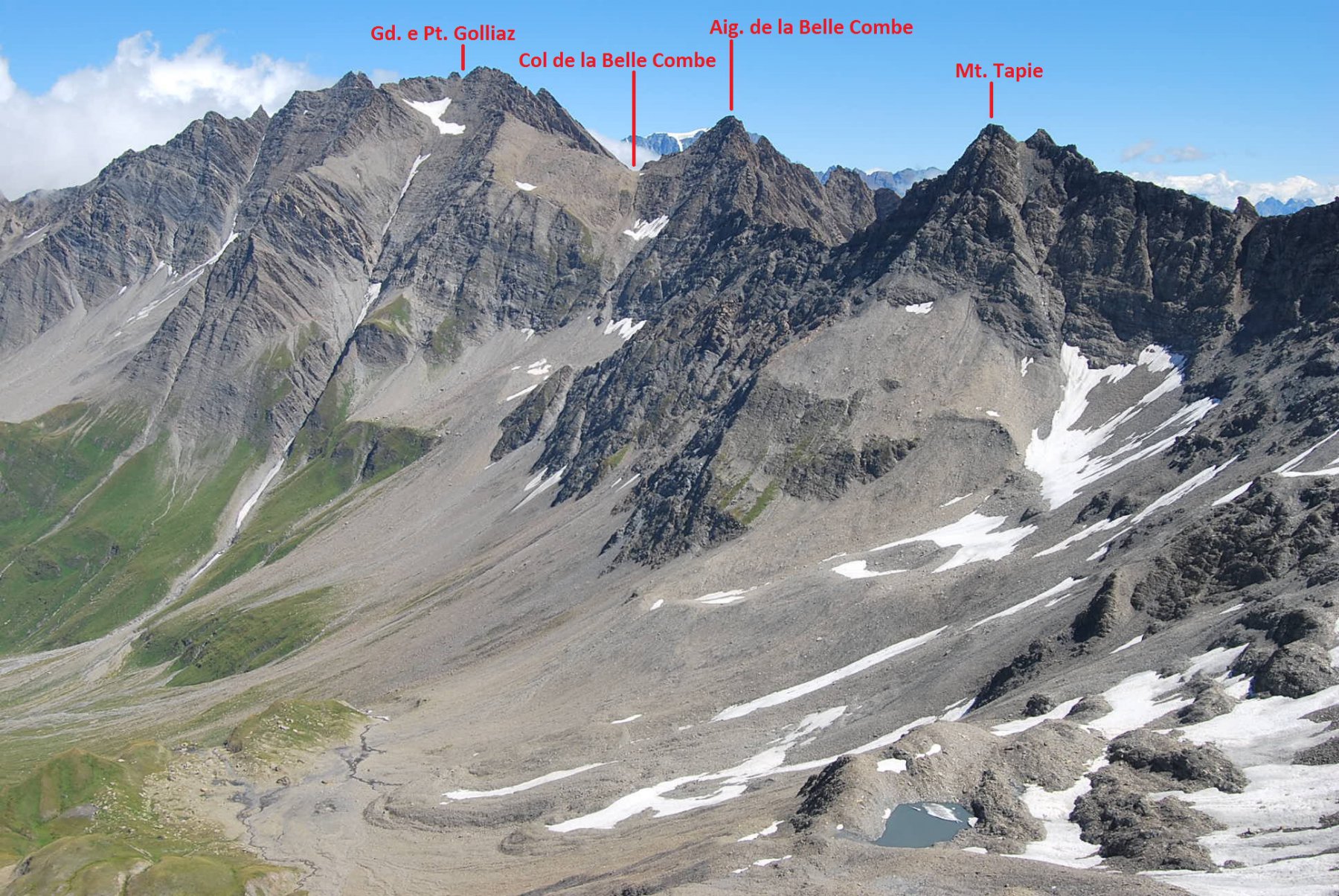
Bellecombe (Vallone) e quota 2890 m da Arnouva, traversata per Vallone Malatrà
 3.7Km
3.7Km
08/07/2011 AO, Courmayeur D+ 1233 m EE Tutte
Chéarfière (Monte) da Arnouvaz, anello per Lavachey
 3.7Km
3.7Km