3.8Km
3.8Km
Note
 50m
4.3Km
4.3Km
5.5Km
5.5Km
6.6Km
7Km
7Km
7.1Km
50m
4.3Km
4.3Km
5.5Km
5.5Km
6.6Km
7Km
7Km
7.1Km
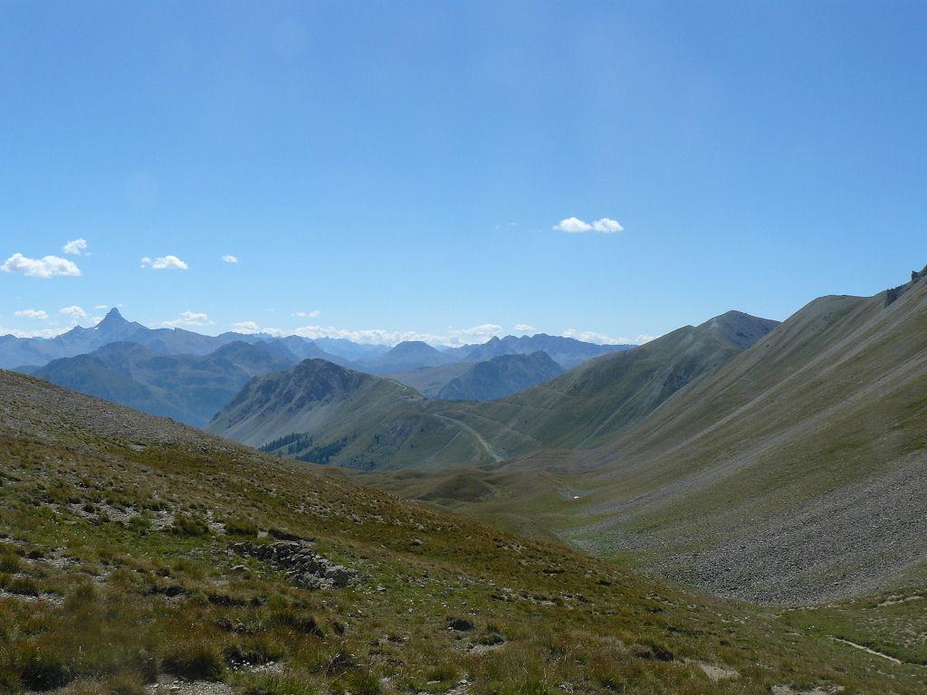
Bell'itinerario che tocca i due forti di Lenlon e dell'Olive, un itinerario alternativo al piu' frequentato col di Granon - Buffere.
Difficoltà: V4+
Avvicinamento
Difficoltà: V4+
-
Descrizione
Giungendo a Val de Pres nei pressi del ponte, sulla destra idrografica si diparte una stradina asfaltata per circa 200 metri. Ad un bivio prendere quello in salita a sinistra, mentre quello pianeggiante porta fino a Plampinet.
Volendo si puo’ partire da Plampinet , facendo in questo modo un bell’anello. Ci sono sempre delle strade e sentieri sulla destra idrografica, se si vuole evitare il noioso asfalto per scendere a Val de Pres .
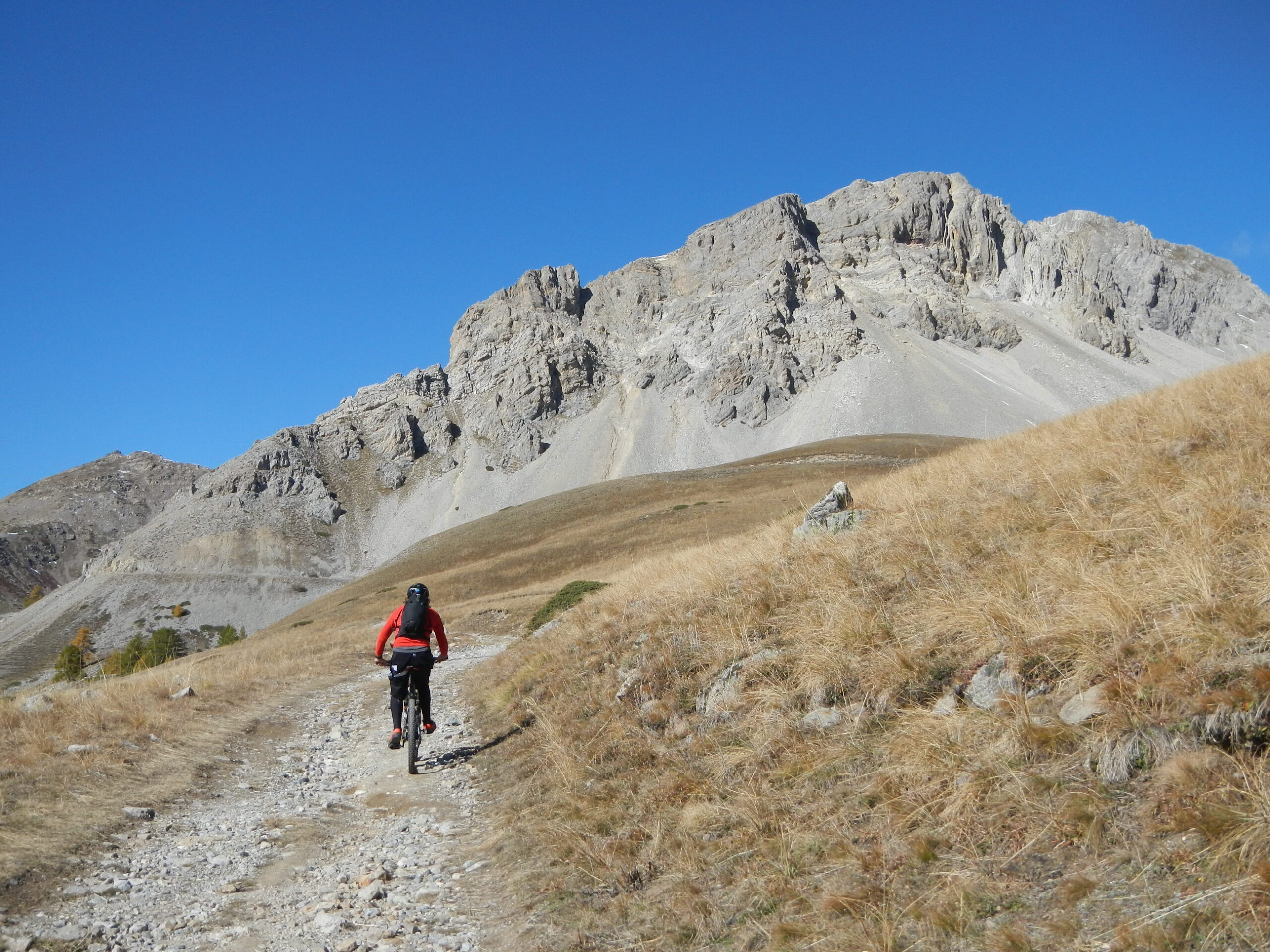
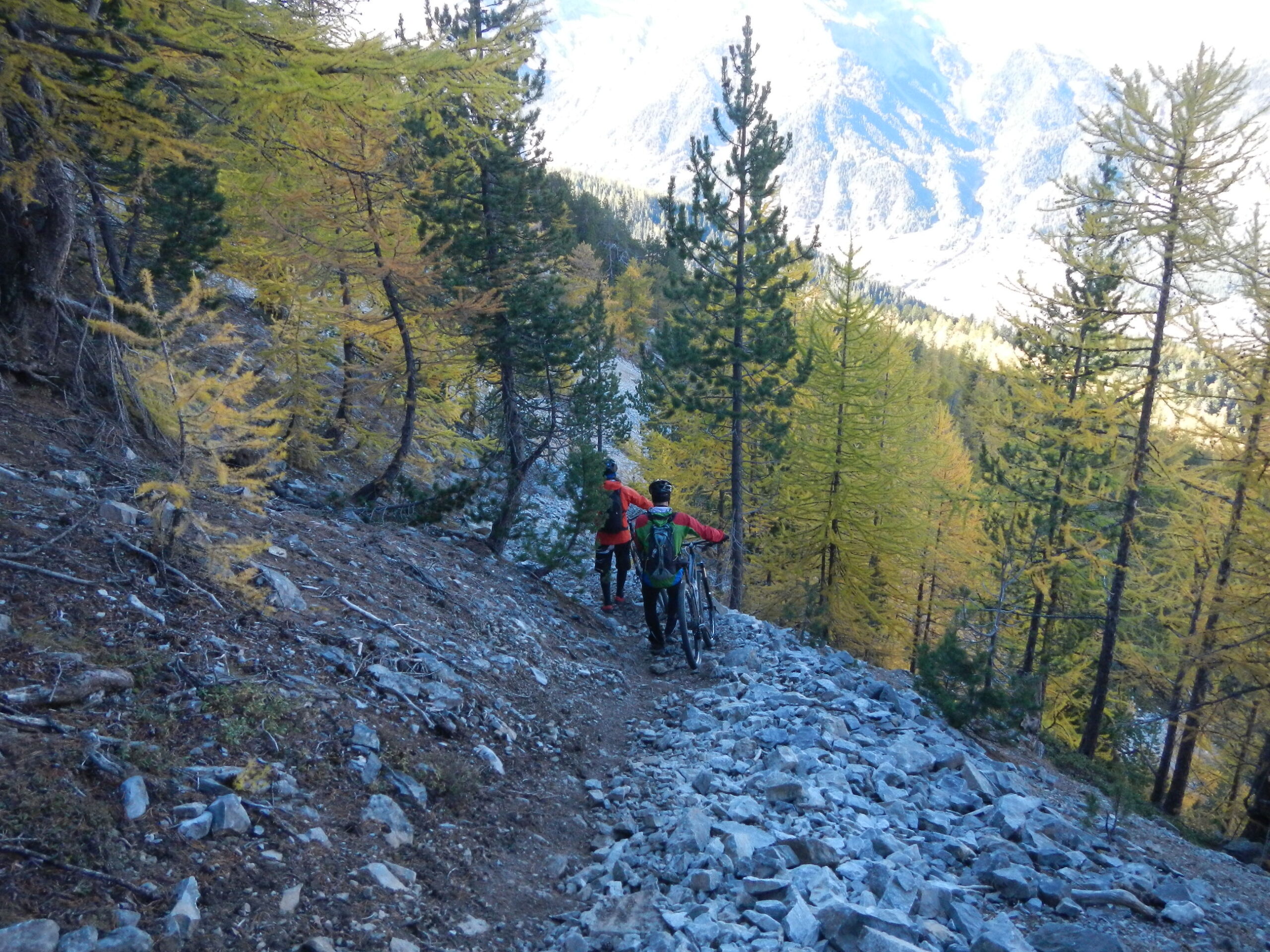
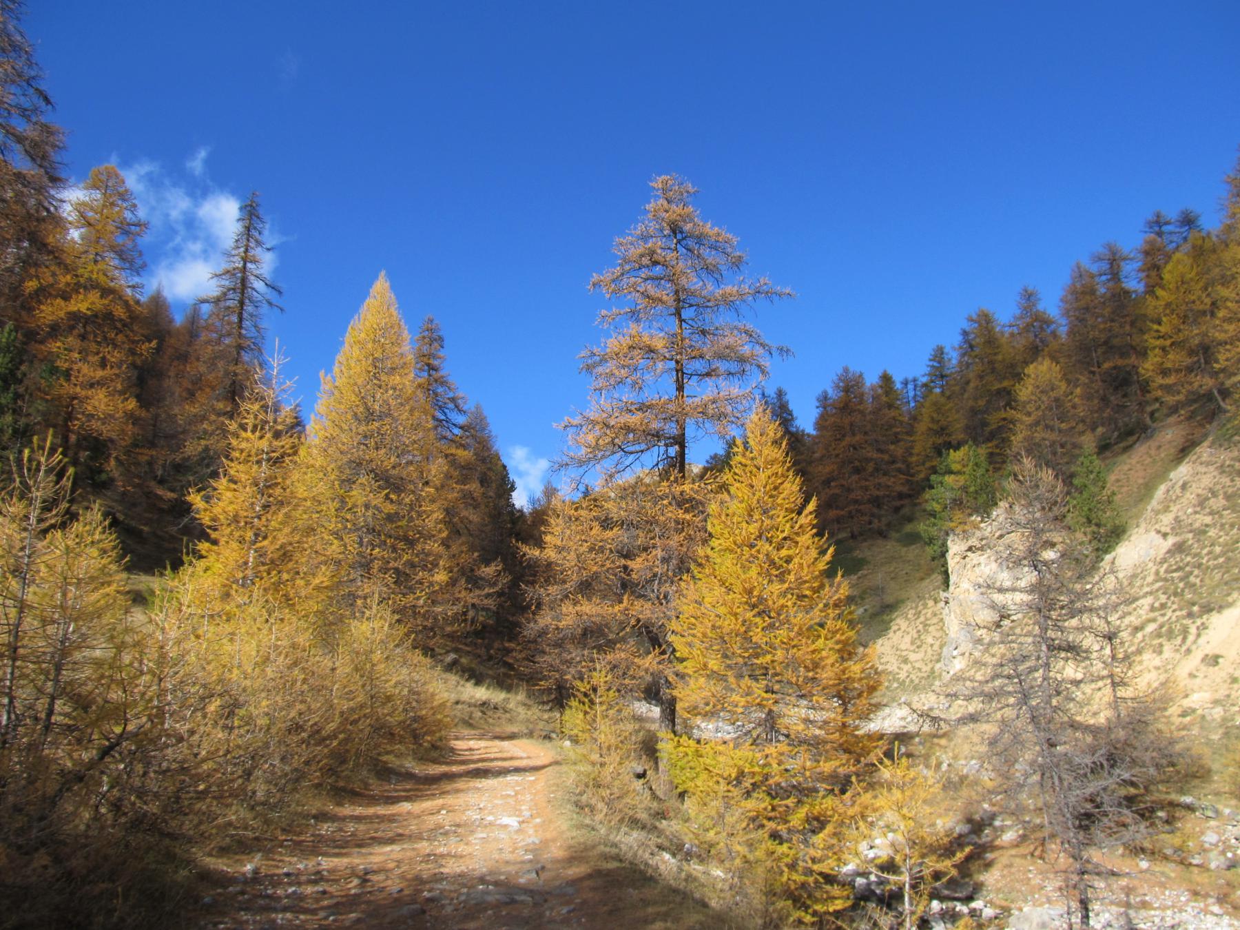
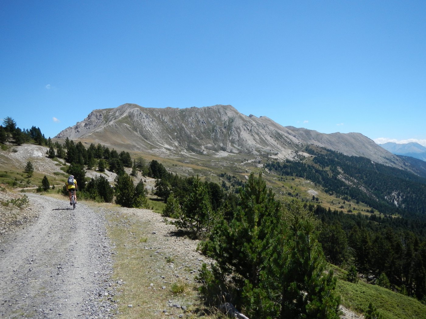
Inizia cosi’ la salita, sterrata, che dopo numerosi tornanti (i piu’ ripidi sono i primi due), si addentra nel vallone e raggiunge le baite Granon a quota 1910 m.
Da qui la strada prosegue lungo un bellissimo pianoro, poi attraversa il torrente e riprende a salire. Da qui a poco c’è un bivio: si prende la sterrata a destra. Cosi’ facendo si aggira un costone, si salgono delle ripide rampe e si apre un bel panorama sulla strada percorsa in salita.
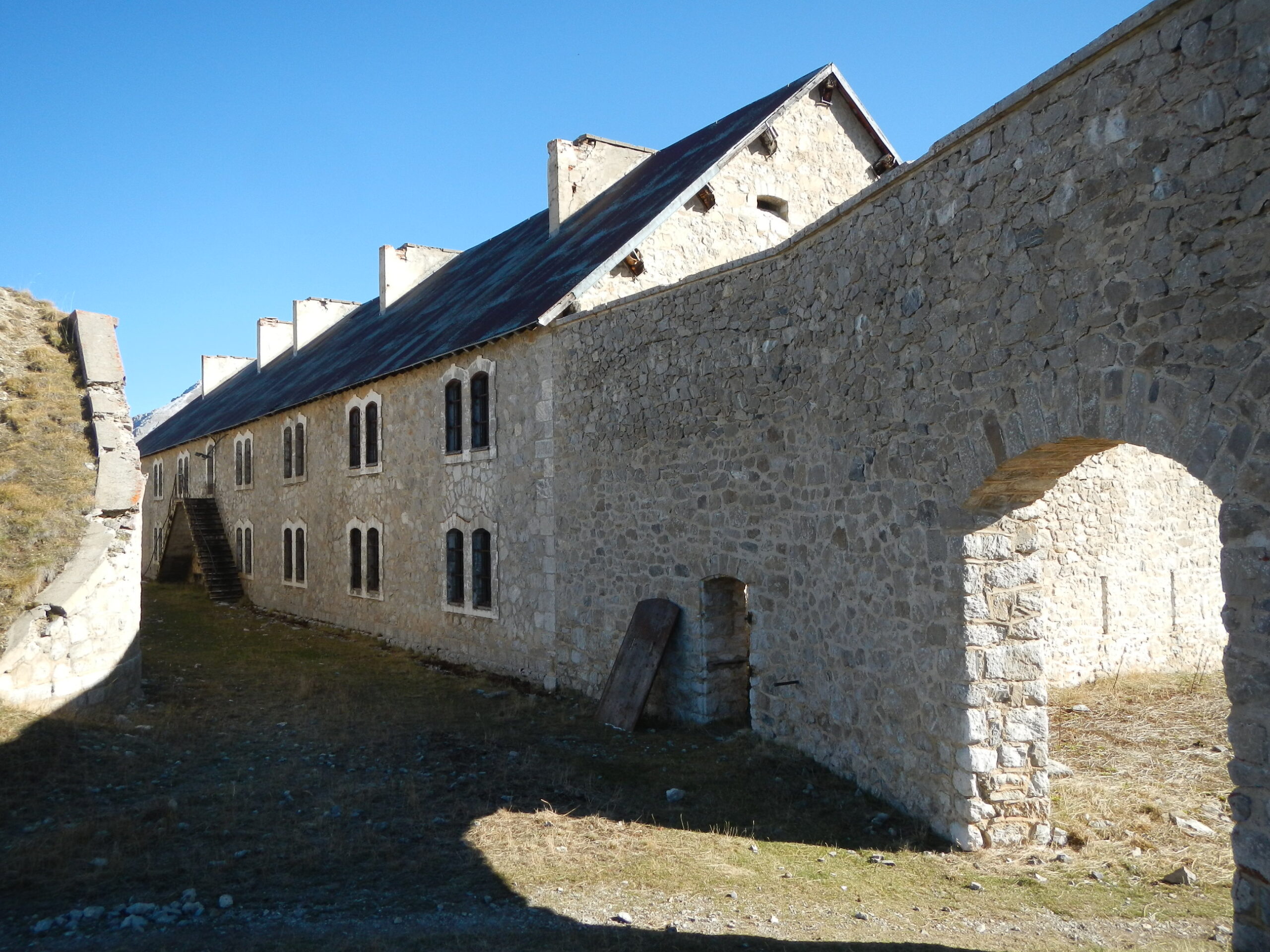
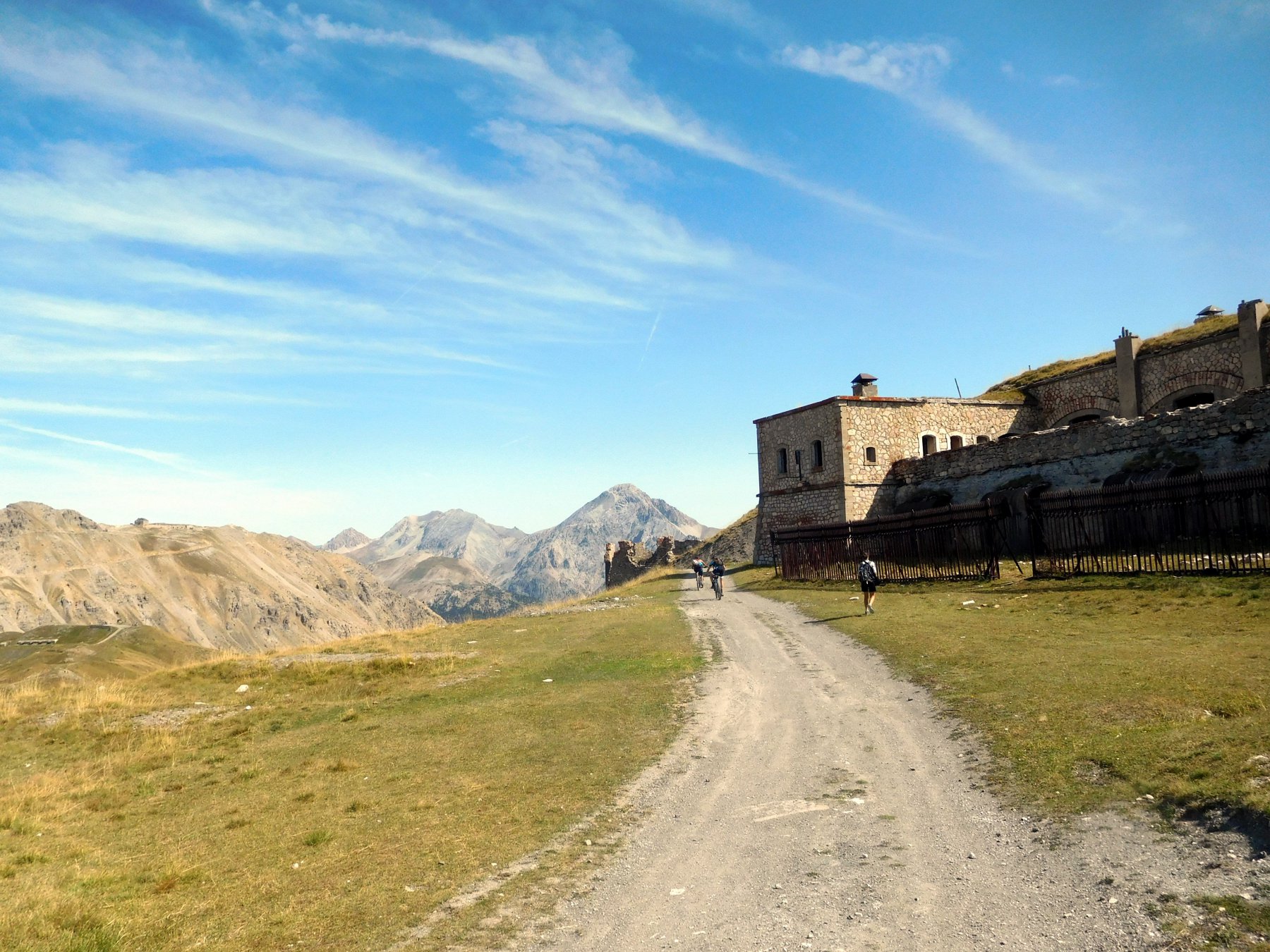
Si arriva ad un ripiano dove c’è un ulteriore bivio: si prende a sinistra in leggera salita mentre a destra si scende direttamente al forte de l’Olive. Proseguendo si incontra un ulteriore bivio, da dove arriva la strada che porta al Granon, abbandonata in precedenza. Qui si vede il forte du Lenlon, e quindi si svolta a destra e si prosegue in salita, fino a raggiungere il forte du Lenlon a quota 2509 m.
DISCESA
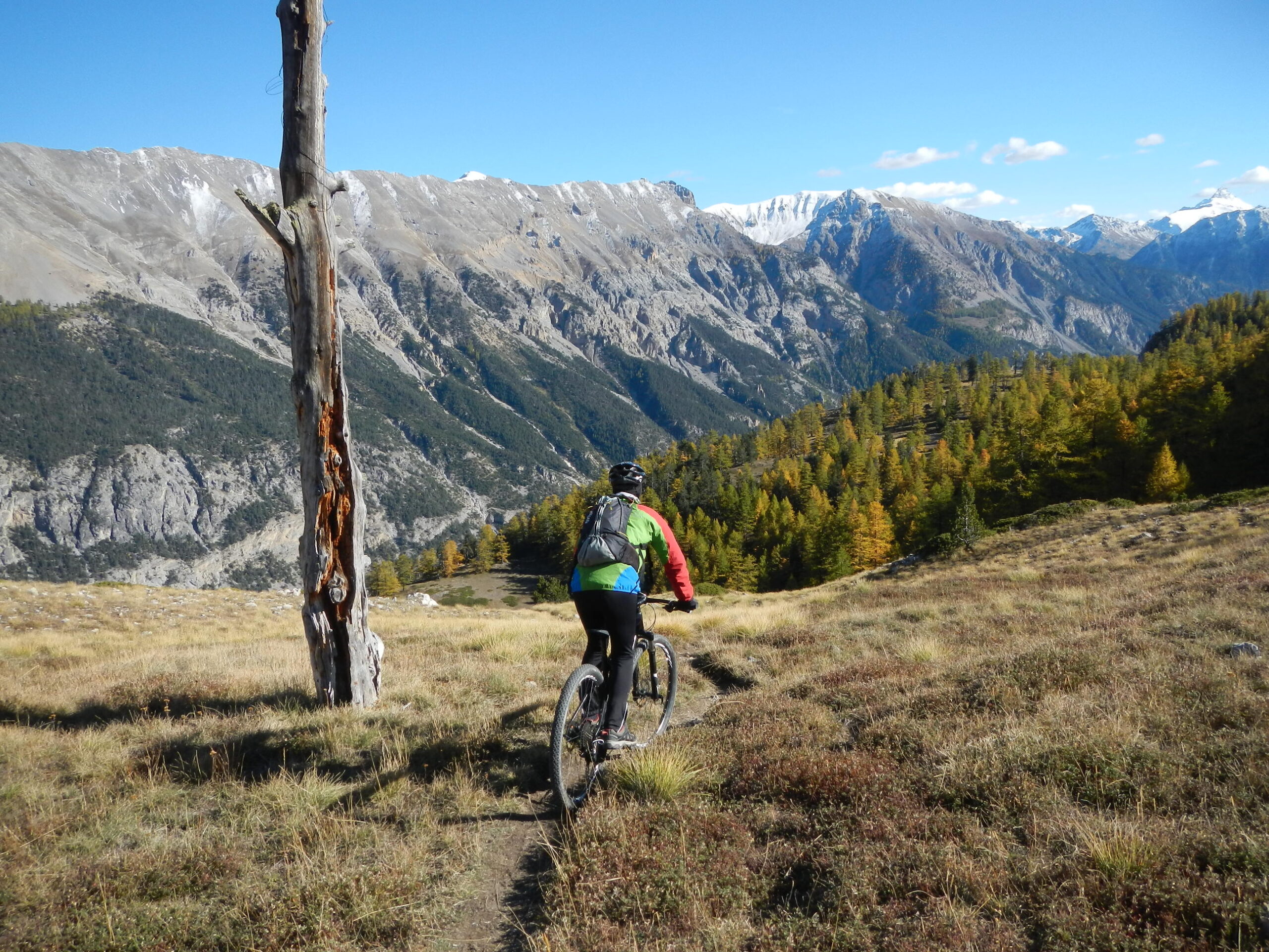
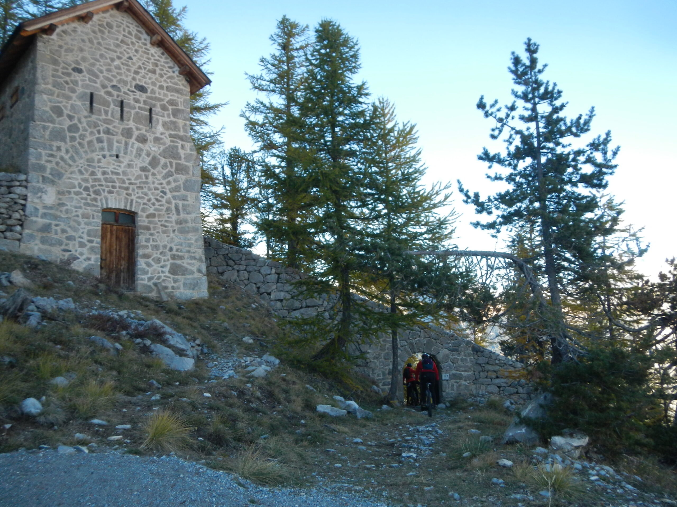
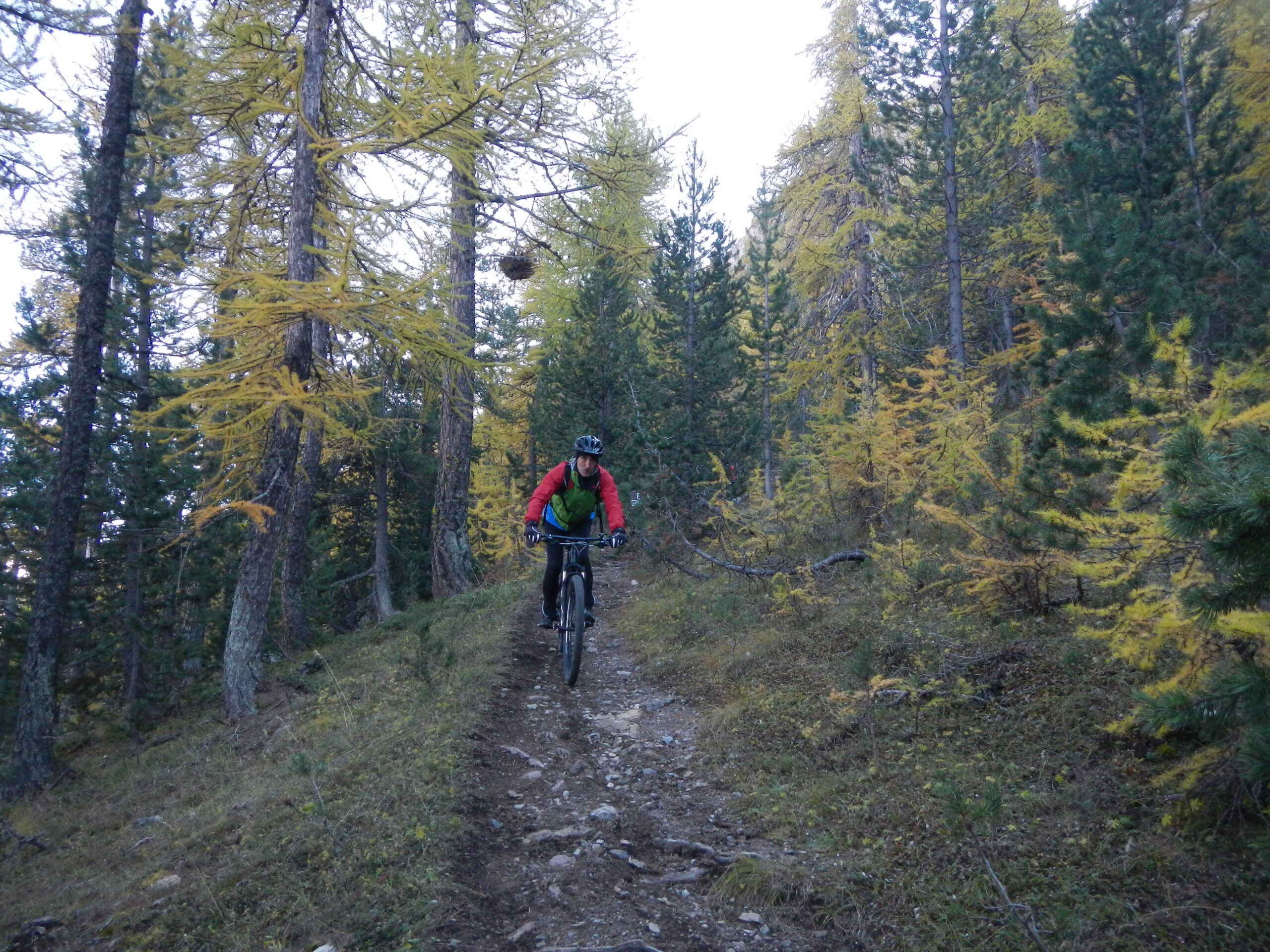
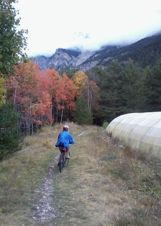
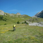
Si scende fino ai primi ripiani e si prende la mulattiera a sinistra che porta al forte de l’Olive. Da qui si svolta a destra lungo la strada in falso piano e si imbocca la mulattiera al primo bivio a sinistra (segnalazioni per Plampinet). Presto la bella mulattiera si trasforma in sentiero, una breve risalita e poi si giunge ad una specie di ‘porta’ vicino ad una fortificazione.
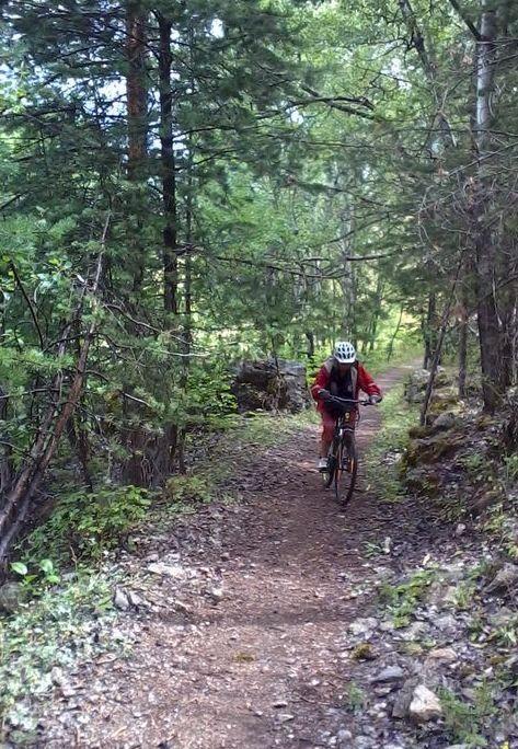
Da qui il sentiero è molto accidentato ma dopo 2 tornanti diventa ciclabile .
Questo porta con numerosi tornanti nel bosco, non sempre ciclabili perchè molto stretti e con pendenze elevate, fino a Plampinet.
Nelle vicinanze Mappa
Itinerari
15/06/2025 Hautes-Alpes, Val-des-Prés D+ 1300 m MC+, BC, S3 Tutte
Buffère (Col de) da Val des Pres, giro per il Col du Granon e Nevache
 50m
50m
06/07/2026 Hautes-Alpes, Val-des-Prés D+ 1300 m MC, BC+, S1 Est
Lenlon (Fort de) e Col du Granon da la Vachette, giro per il Fort de l’Olive e la Croix de Toulouse
 4.3Km
4.3Km
06/07/2020 Hautes-Alpes, Val-des-Prés D+ 250 m TC, MC, S0 Est
Clarée (Val de la) da la Vachette, piste ciclabili
 4.3Km
4.3Km
20/08/2017 Hautes-Alpes, Montgenèvre D+ 1025 m BC, BC, S2 Varie
Anges (Sommet des), Fort du Gondran da Montgenevre, giro per il Lago Gignoux, Colletto Verde e la valle dei Mandarini
 5.5Km
5.5Km
16/10/2025 Hautes-Alpes, Montgenèvre D+ 1030 m MC, BC, S1 Varie
Janus (Fort du) da Montgenevre, giro per Fort Gondran il Lago Gignoux o dei Sette Colori
 5.5Km
5.5Km
03/09/2010 Hautes-Alpes, Montgenèvre D+ 900 m BC+, OC, S2 Sud
Trois Freres Mineurs (Col des) da Montgenevre per il Vallone del Rio Secco
 6.6Km
6.6Km
25/07/2024 Hautes-Alpes, Briançon D+ 1400 m BC, BC, S1 Varie
Lauze (Col de la) e Col de Dormillouse da Briançon, giro
 7Km
7Km
19/08/2014 Hautes-Alpes, Briançon D+ 700 m MC, BC+, S2 Sud-Ovest
Toulouse (Croix de) da Briançon per Serre Lan
7Km
24/09/2023 Hautes-Alpes, Briançon D+ 1400 m BC, MC, S0 Tutte
Infernet, Gondran, Janus (Forti) da Briançon, giro
 7Km
7Km
20/07/2014 Hautes-Alpes, Briançon D+ 290 m TC, TC, S0 Varie
Chemin des Fontaines da Briançon
 7.1Km
7.1Km