 500m
500m

Avvicinamento
 50m
2.9Km
3.2Km
3.2Km
3.2Km
3.2Km
3.2Km
5.3Km
50m
2.9Km
3.2Km
3.2Km
3.2Km
3.2Km
3.2Km
5.3Km
500m
2.4Km
3Km
3.2Km
4Km
5Km
5.3Km
6.1Km
7Km
7.5Km
.
Descrizione
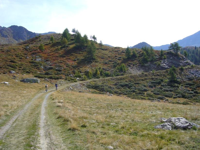
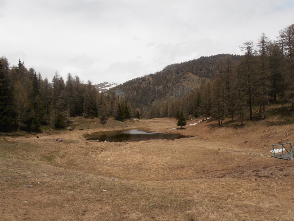
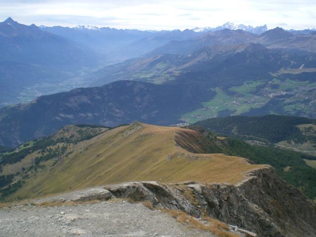
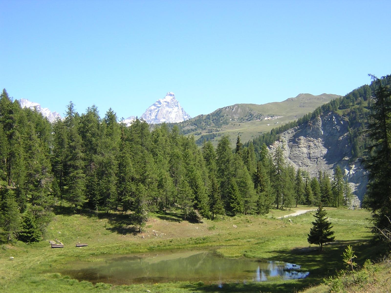
Partenza dalla localita’ la Magdeleine, per Chamois, Crepin, foresus,Corts,Colle pillonet,Champlong,Charev,Saverou, da li ci si ricollega allo sterrato che riporta alla Magdeleine.
Ultima revisione 12/12/2025
Nelle vicinanze Mappa
Itinerari
01/06/2025 AO, La Magdeleine D+ 360 m MC, MC, S0 Sud-Ovest
Lod (Lago di) e Chamois da La Magdeleine per il Col Pilaz
 50m
50m
22/10/2023 AO, La Magdeleine D+ 1300 m MC+, OC, S3 Varie
Zerbion (Monte) da Promiod, giro per il Colle di Biere e Col Portola
 2.9Km
2.9Km
29/08/2004 AO, Antey-Saint-André D+ 1140 m BC, BC+ Nord-Est
Fontana Fredda (Punta) da Buisson, giro
3Km
15/09/2019 AO, Antey-Saint-André D+ 2526 m OC+, OC, S3 Tutte
Cignana (Finestra di) da Antey Saint André, Grande Balconata del Cervino
 3.2Km
3.2Km
29/05/2023 AO, Antey-Saint-André D+ 1600 m MC+, BC, S2 Tutte
Champlong (Col) da Antey Saint André, giro per Chamois e La Magdeleine
 3.2Km
3.2Km
24/04/2025 AO, Antey-Saint-André D+ 1000 m TC, BC, S2 Sud-Ovest
Pilaz (Col) da Antey Saint Andrè
3.2Km
10/08/2006 AO, Antey-Saint-André D+ 2200 m BC, TC, S1 Tutte
Nana (Col di) da Antey Saint André
 3.2Km
3.2Km
15/10/2012 AO, Antey-Saint-André D+ 1320 m MC+, BC, S2 Tutte
Cheneil (Colle di) da Antey Saint Andrè, giro per Cheneil
 3.2Km
3.2Km
01/07/2021 AO, Antey-Saint-André D+ 1700 m OC+, OC+, S3 Varie
Aver (Becca d’) e Cima Longhede da Antey Saint Andrè
 3.2Km
3.2Km
05/08/2025 AO, Torgnon D+ 1300 m MC+, MC, S1 Varie
Tsan o Cian (Bivacco e Lago) da Torgnon
 5.3Km
5.3Km
Servizi
500m
2.4Km
Maison de Suis B&B
Chamois
3Km
Pession Ristorante
Antey-Saint-André
3.2Km
Bellevue Rifugio
Chamois
4Km
da Bruna Ristorante
Chamois
5Km
Boule de neige B&B
Antey Saint Andrè
5.3Km
Jour et Nuit Ristorante
Torgnon
6.1Km
Lavesè Ristorante
Saint-denis
7Km
Panorama al Bich Ristorante
Valtournenche
7.5Km
