 1.9Km
1.9Km
Note
 50m
50m
50m
50m
2.1Km
3.1Km
3.2Km
3.2Km
50m
50m
50m
50m
2.1Km
3.1Km
3.2Km
3.2Km
1.9Km
2.1Km
3.4Km
3.7Km
4.3Km
4.4Km
5.2Km
5.9Km
5.9Km
6.9Km
Giunti ad Antagnod si può deviare per il colle Portola e chiudere l'anello rientrando da la Magdeleine.
Avvicinamento
.
Descrizione
Partenza da Antey si pedala su asfalto per un breve tratto sulla regionale che porta a La Magdeleine. Dopo ca 500 mt si svolta a sx per la fraz. Herin che dopo una serie di tornanti vi troverete in poco tempo ad aver guadagnato 300/400 mt di quota.
Giunti alla frazione suddetta proseguite dritti sulla mulattiera ( ora chiusa per lavori ma noi siamo passati comunque in quanto il cantiere apriva alle 8 ) che porta a La magdeleine. Per certi tratti è pedalabile per altri bisogna portare o spingere la bici.
Dal comune nominato si pedala su asfalto per ca 400 mt ove si incontra un bivio nei pressi di una curva verso dx. Prendendo il bivio a sx si giunge dopo 600 mt a svoltare a sx su di una poderale che vi porterà fino all’abitato di Chamois.
Da qui proseguite dritti lasciandovi sulla dx la partenza della seggiovia e sulla sx l’arrivo della funivia. Da questo punto inizia il tracciato poderale sentierististico che vi porterà in quota pedalando in mezzo alle piste di sci, seguendo le indicazioni per il “santuario di Clavalitè, 2600 mt ca”.
Oltrepassato questo luogo che si trova sullo spartiacque tra la conca di cheneil e la conca di chamois, proseguite a dx seguendo il sentiero che vi condurrà al colle di Nanaz.
Tracciato che vi offrirà tutte le situazioni, dalla pedalata a portare la bici sulle spalle od a spingerla. Eccovi in cima al colle, 2773 m, che da sulla valle d’Ayas. Discendete il sentiero che in alcuni tratti dovrete scendere dalla bici, e arriverete al Rifugio grand Tournalin dove potrete sostare e prendere qualcosa di caldo o semplicemente riempire la borraccia.
Dal rifugio si percorre la poderale in discesa per circa 4 km fino ad incrociare il tracciato del famoso ru cortot, divertentissimo da percorrere sino a raggiungere la località Periasc, zona turistica con area picnic, sotto il trionfante monte Zerbion.
Qui prendete a sx su asfalto fino ad Antagnod, svoltate a dx e scendete fino a 50 mt prima del ponte sul torrente evancon, dove sulla dx proprio adiacente al gard-rail troverete il sentiero che vi porterà a Brusson lungo tutto il tracciato della pista di fondo invernale.
Sopraggiunti al lago oltrepassatelo stando sulla dx e appena incrociate la regionale che sale al colle di Joux svoltate per pochi metri sulla sx per svoltare subito sulla dx scendendo per ca 300 mt sulla sx orografica del torrente.
Ad certo punto state attenti che bisogna attraversare il torrente su di un ponticello di legno a dx e si riprende il tracciato invernale della pista di fondo che vi porterà fino ad intraprendere il ru d’Arlaz( poderale bellissima ) che vi accompagnerà sino alla fraz. Orbeillaz.
Entratevi stando sulla dx e giunti in fondo troverete una poderale che percorrendola arriverete al colle d’Arlaz. Scendete nel versante a dx per Montjovet ed intraprendete la poderale che vi porterà sino ad Emarese.
Su asfalto scendete a St-Vincent e seguendo il canale sulla collina, arriverete a Chatillon che, sempre in collina, pedalerete su tracciati sentieristici a dx poi a sx, della regionale che vi ricondurrà ad Antey. E’ un giro per biker che hanno già un buon allenamento, noi senza tirarci il collo ci abbiamo messo 8 ore.
Ne vale sicuramente la pena per il paesaggio e per il tracciato molto divertente. Da fare in questa stagione, l’aria si sta facendo già molto frizzante. portatevi i guanti .
Nelle vicinanze Mappa
Itinerari
15/10/2012 AO, Antey-Saint-André D+ 1320 m MC+, BC, S2 Tutte
Cheneil (Colle di) da Antey Saint Andrè, giro per Cheneil
 50m
50m
24/04/2025 AO, Antey-Saint-André D+ 1000 m TC, BC, S2 Sud-Ovest
Pilaz (Col) da Antey Saint Andrè
50m
29/05/2023 AO, Antey-Saint-André D+ 1600 m MC+, BC, S2 Tutte
Champlong (Col) da Antey Saint André, giro per Chamois e La Magdeleine
 50m
50m
15/09/2019 AO, Antey-Saint-André D+ 2526 m OC+, OC, S3 Tutte
Cignana (Finestra di) da Antey Saint André, Grande Balconata del Cervino
 50m
50m
01/07/2021 AO, Antey-Saint-André D+ 1700 m OC+, OC+, S3 Varie
Aver (Becca d’) e Cima Longhede da Antey Saint Andrè
 50m
50m
05/08/2025 AO, Torgnon D+ 1300 m MC+, MC, S1 Varie
Tsan o Cian (Bivacco e Lago) da Torgnon
 2.1Km
2.1Km
22/10/2023 AO, La Magdeleine D+ 1300 m MC+, OC, S3 Varie
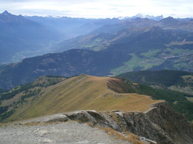
Zerbion (Monte) da Promiod, giro per il Colle di Biere e Col Portola
 3.1Km
3.1Km
25/09/2013 AO, La Magdeleine D+ 1000 m BC, TC, S1 Sud-Ovest
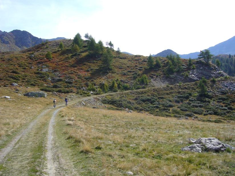
Pillonet (Col) da La Magdeleine, anello
 3.2Km
3.2Km
01/06/2025 AO, La Magdeleine D+ 360 m MC, MC, S0 Sud-Ovest
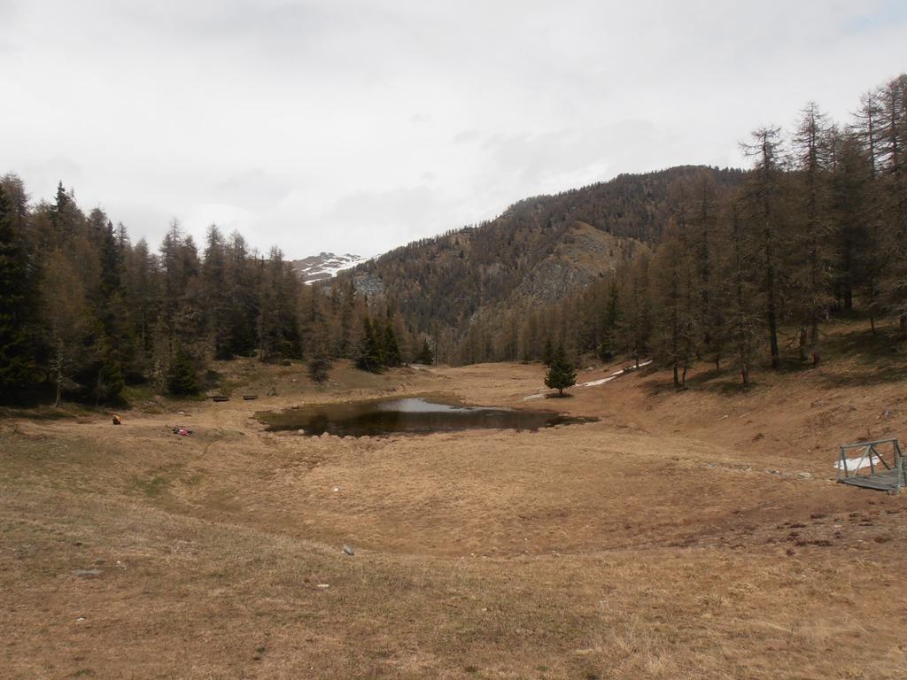
Lod (Lago di) e Chamois da La Magdeleine per il Col Pilaz
 3.2Km
3.2Km
29/08/2004 AO, Antey-Saint-André D+ 1140 m BC, BC+ Nord-Est
Fontana Fredda (Punta) da Buisson, giro
3.3Km
Servizi
1.9Km
2.1Km
Jour et Nuit Ristorante
Torgnon
3.4Km
Pession Ristorante
Antey-Saint-André
3.7Km
Lo scoiattolo Ristorante
La Magdeleine
4.3Km
Lavesè Ristorante
Saint-denis
4.4Km
Maison de Suis B&B
Chamois
5.2Km
Bellevue Rifugio
Chamois
5.9Km
Blanche Neige Bar
Verrayes
5.9Km
da Bruna Ristorante
Chamois
6.9Km

