 1.9Km
1.9Km
Avvicinamento
 50m
50m
50m
50m
2.1Km
3.1Km
3.2Km
3.2Km
50m
50m
50m
50m
2.1Km
3.1Km
3.2Km
3.2Km
1.9Km
2.1Km
3.4Km
3.7Km
4.3Km
4.4Km
5.2Km
5.9Km
5.9Km
6.9Km
.
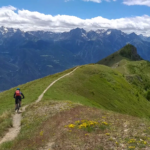
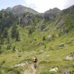
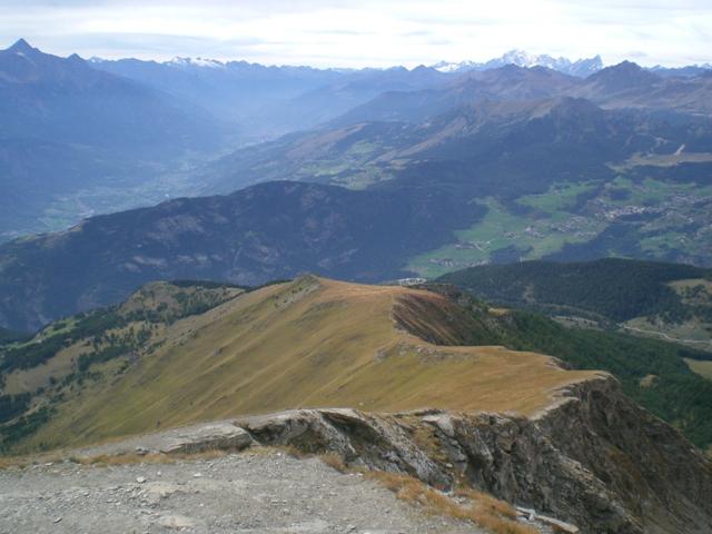
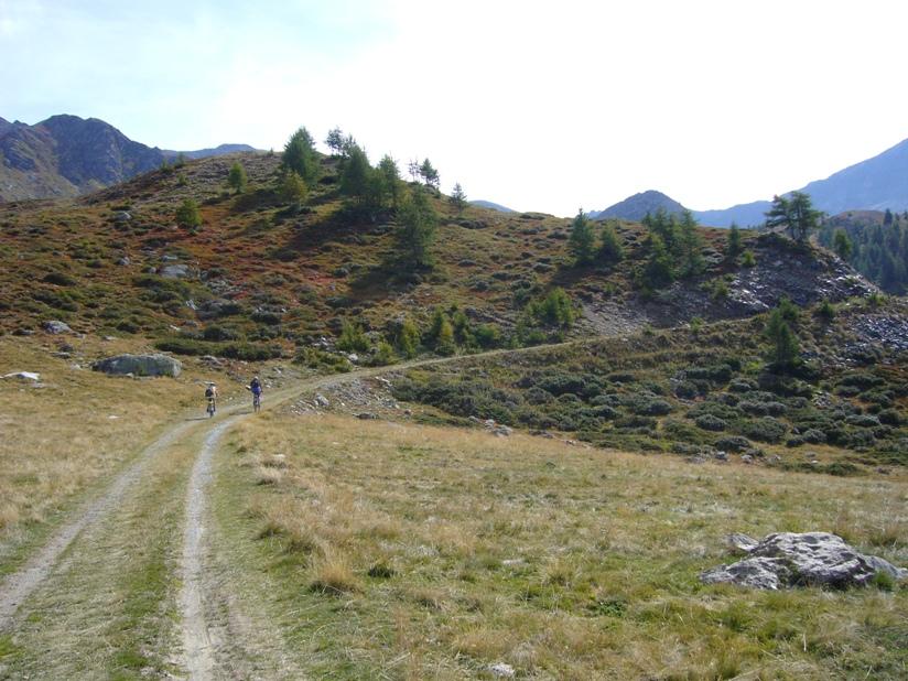
Descrizione
Lasciata l’auto ad Antey Saint Andrè si sale per asfalto fino a la Magdeleine.
Superato il paese, dopo il primo tornante si incrocia sulla sx la indicazione della bella mulattiera per Chamois.
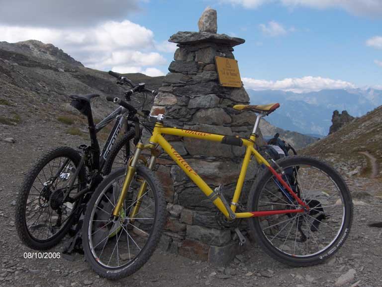
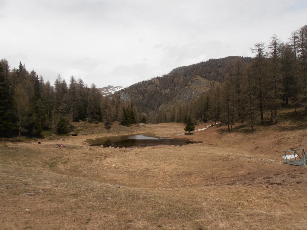
Qui inizia lo sterrato che a mezzacosta con brevi saliscendi porta a Chamois. Entrati in centro al paese poco prima della chiesa prendere un evidente tratturo a sx che con tratti ripidissimi porta al lago di Lod 2018 m.
Di qui seguendo alla meglio o i tracciati delle piste o una logica mulattiera che con lunghi traversi prende quota, puntare al colle di Cheneil posto a quota 2277 m sulla cresta della punta Fontana Fredda (palina indicatrice).
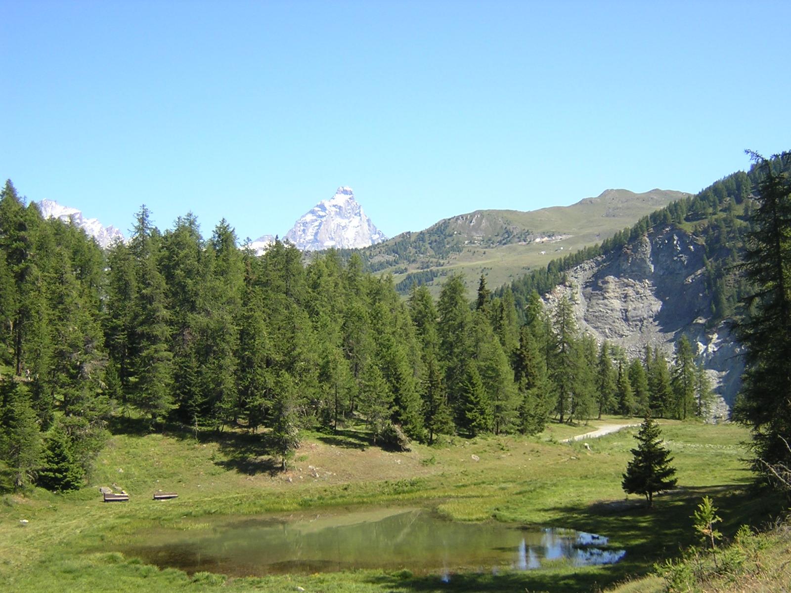
Dal colle per un tratto a piedi e poi nuovamente in sella si continua per Cheneil che si raggiunge in poco più di mezzora.
Il sentiero arriva proprio davanti all’albergo Panorama, di qui oltrepassare il pianoro, salire alla cappelletta ben visibile e di qui iniziare la discesa su Valtournenche sfruttando le frequenti scorciatoie.
Nelle vicinanze Mappa
Itinerari
10/08/2006 AO, Antey-Saint-André D+ 2200 m BC, TC, S1 Tutte
Nana (Col di) da Antey Saint André
 50m
50m
24/04/2025 AO, Antey-Saint-André D+ 1000 m TC, BC, S2 Sud-Ovest
Pilaz (Col) da Antey Saint Andrè
50m
15/09/2019 AO, Antey-Saint-André D+ 2526 m OC+, OC, S3 Tutte
Cignana (Finestra di) da Antey Saint André, Grande Balconata del Cervino
 50m
50m
29/05/2023 AO, Antey-Saint-André D+ 1600 m MC+, BC, S2 Tutte
Champlong (Col) da Antey Saint André, giro per Chamois e La Magdeleine
 50m
50m
01/07/2021 AO, Antey-Saint-André D+ 1700 m OC+, OC+, S3 Varie
Aver (Becca d’) e Cima Longhede da Antey Saint Andrè
 50m
50m
05/08/2025 AO, Torgnon D+ 1300 m MC+, MC, S1 Varie
Tsan o Cian (Bivacco e Lago) da Torgnon
 2.1Km
2.1Km
22/10/2023 AO, La Magdeleine D+ 1300 m MC+, OC, S3 Varie
Zerbion (Monte) da Promiod, giro per il Colle di Biere e Col Portola
 3.1Km
3.1Km
25/09/2013 AO, La Magdeleine D+ 1000 m BC, TC, S1 Sud-Ovest
Pillonet (Col) da La Magdeleine, anello
 3.2Km
3.2Km
01/06/2025 AO, La Magdeleine D+ 360 m MC, MC, S0 Sud-Ovest
Lod (Lago di) e Chamois da La Magdeleine per il Col Pilaz
 3.2Km
3.2Km
29/08/2004 AO, Antey-Saint-André D+ 1140 m BC, BC+ Nord-Est
Fontana Fredda (Punta) da Buisson, giro
3.3Km
Servizi
1.9Km
2.1Km
Jour et Nuit Ristorante
Torgnon
3.4Km
Pession Ristorante
Antey-Saint-André
3.7Km
Lo scoiattolo Ristorante
La Magdeleine
4.3Km
Lavesè Ristorante
Saint-denis
4.4Km
Maison de Suis B&B
Chamois
5.2Km
Bellevue Rifugio
Chamois
5.9Km
Blanche Neige Bar
Verrayes
5.9Km
da Bruna Ristorante
Chamois
6.9Km