8.4Km
8.4Km

Note
Punto di appoggio: Rifugio Deffeyes m. 2.494 (locale invernale composto da stanza con 20 posti con coperte e stanzetta con tavoli; non c'è fornello a gas nè stufa.
Inviare corrispettivo del pernottamento al gestore.
Periodo gita: da fine aprile, quando il tratto da La joux alla grangia Parcet è già privo di neve.
Avvicinamento
 50m
50m
50m
50m
50m
50m
50m
2.1Km
2.8Km
2.9Km
50m
50m
50m
50m
50m
50m
50m
2.1Km
2.8Km
2.9Km
Punto di appoggio: Rifugio Deffeyes m. 2.494 (locale invernale composto da stanza con 20 posti con coperte e stanzetta con tavoli; non c'è fornello a gas nè stufa.
Inviare corrispettivo del pernottamento al gestore.
Periodo gita: da fine aprile, quando il tratto da La joux alla grangia Parcet è già privo di neve.
Aosta, Pré-Saint Didier, La Thuile, La Joux.
Descrizione
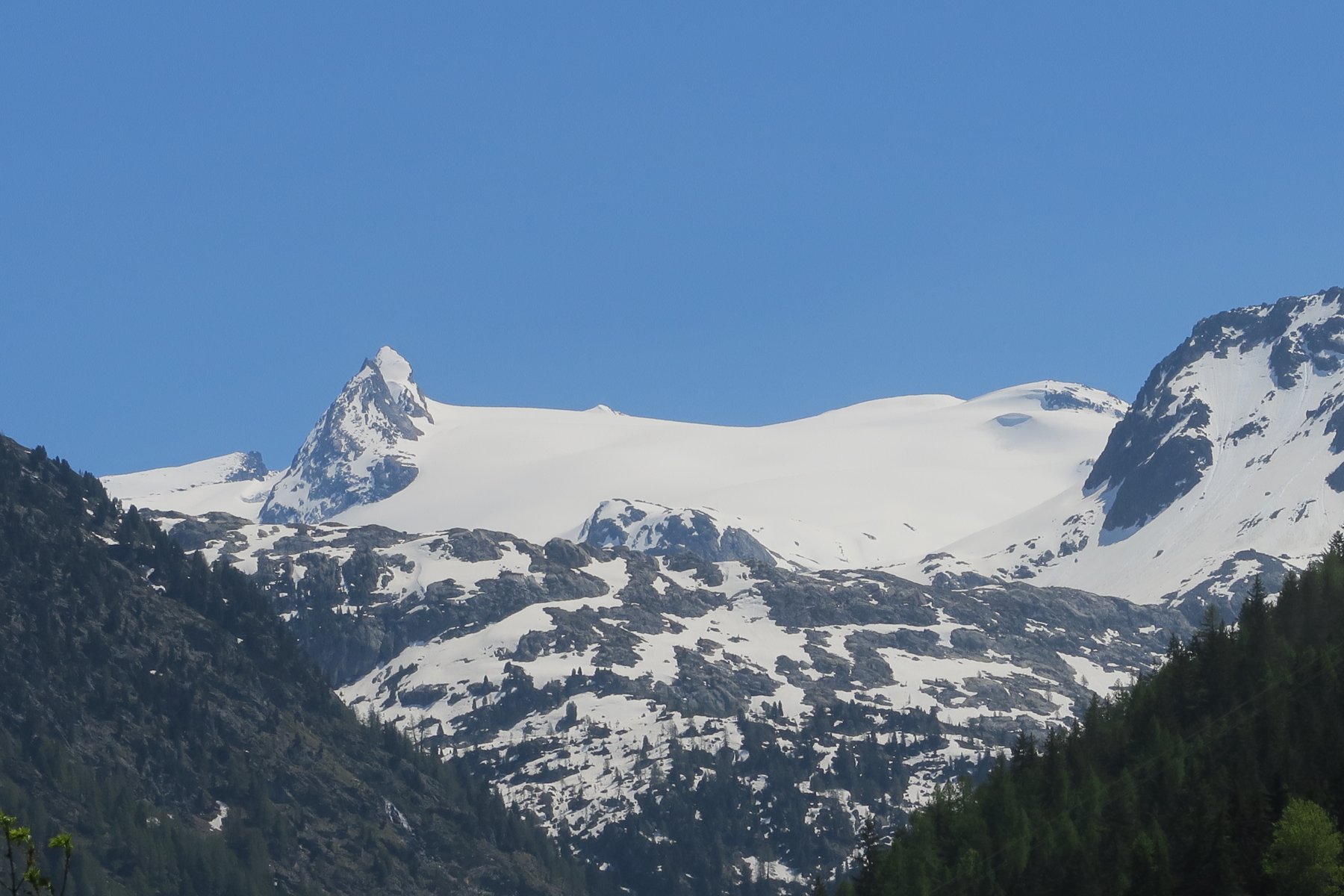
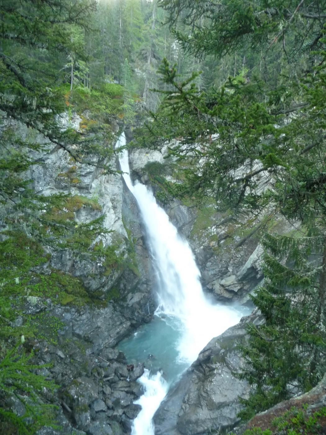
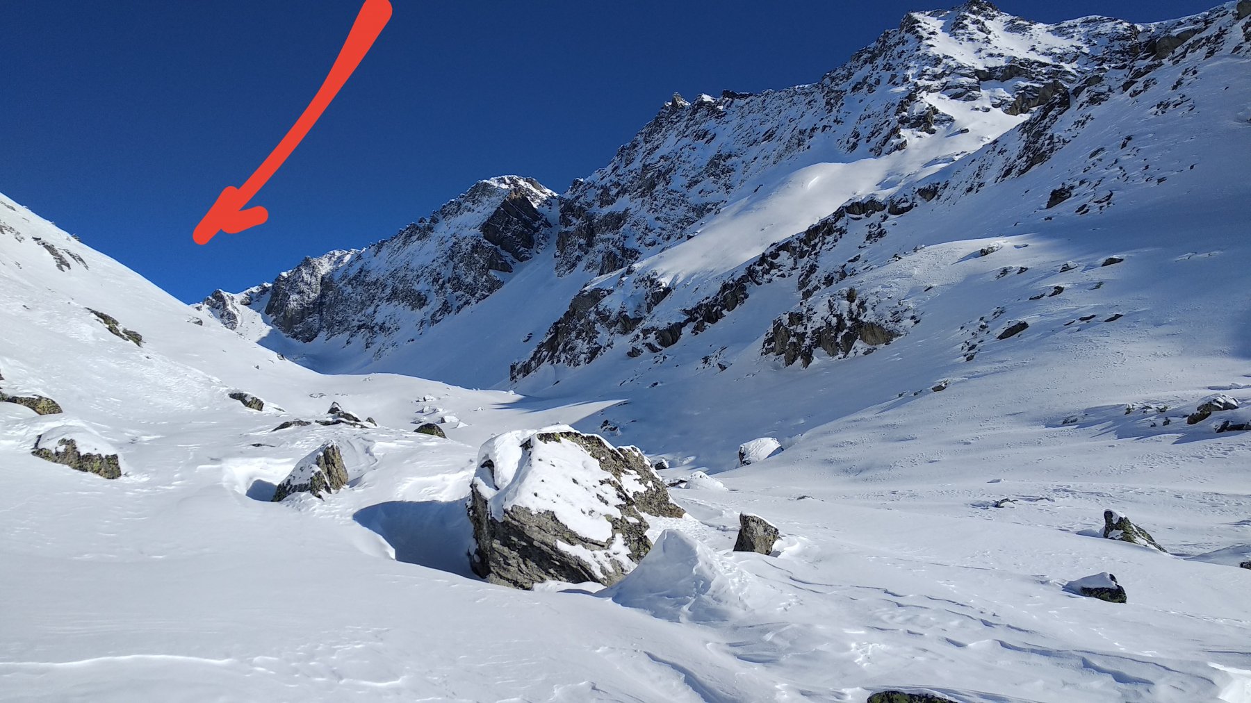
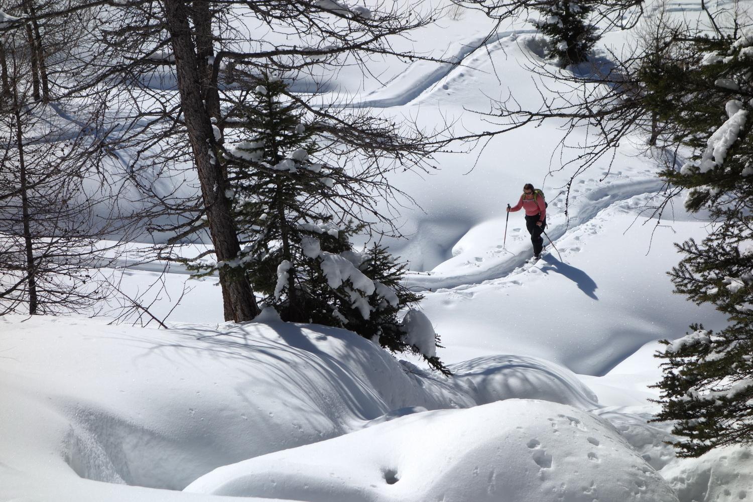
Da La Joux seguire la comoda mulattiera segnalata per il rifugio Deffeyes, attraversare il ponte, superare la zona della 1^ cascata, raggiungere la grangia Parcet, risalire il pendio della mulattiera verso la 2^ cascata prestando attenzione ad eventuali cadute di ghiaccio da cascatelle sulla sinistra (ora 1 da La Joux).
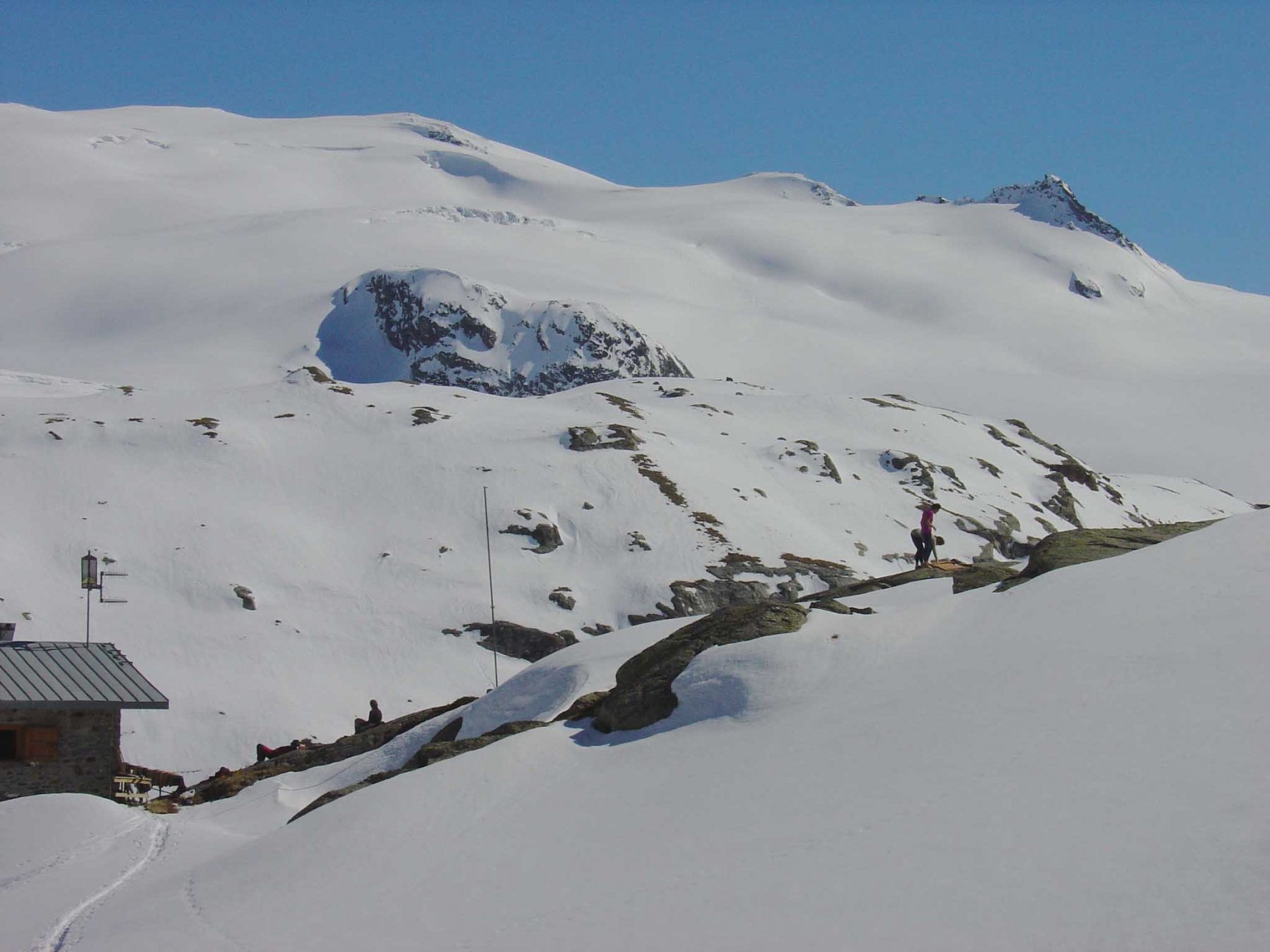
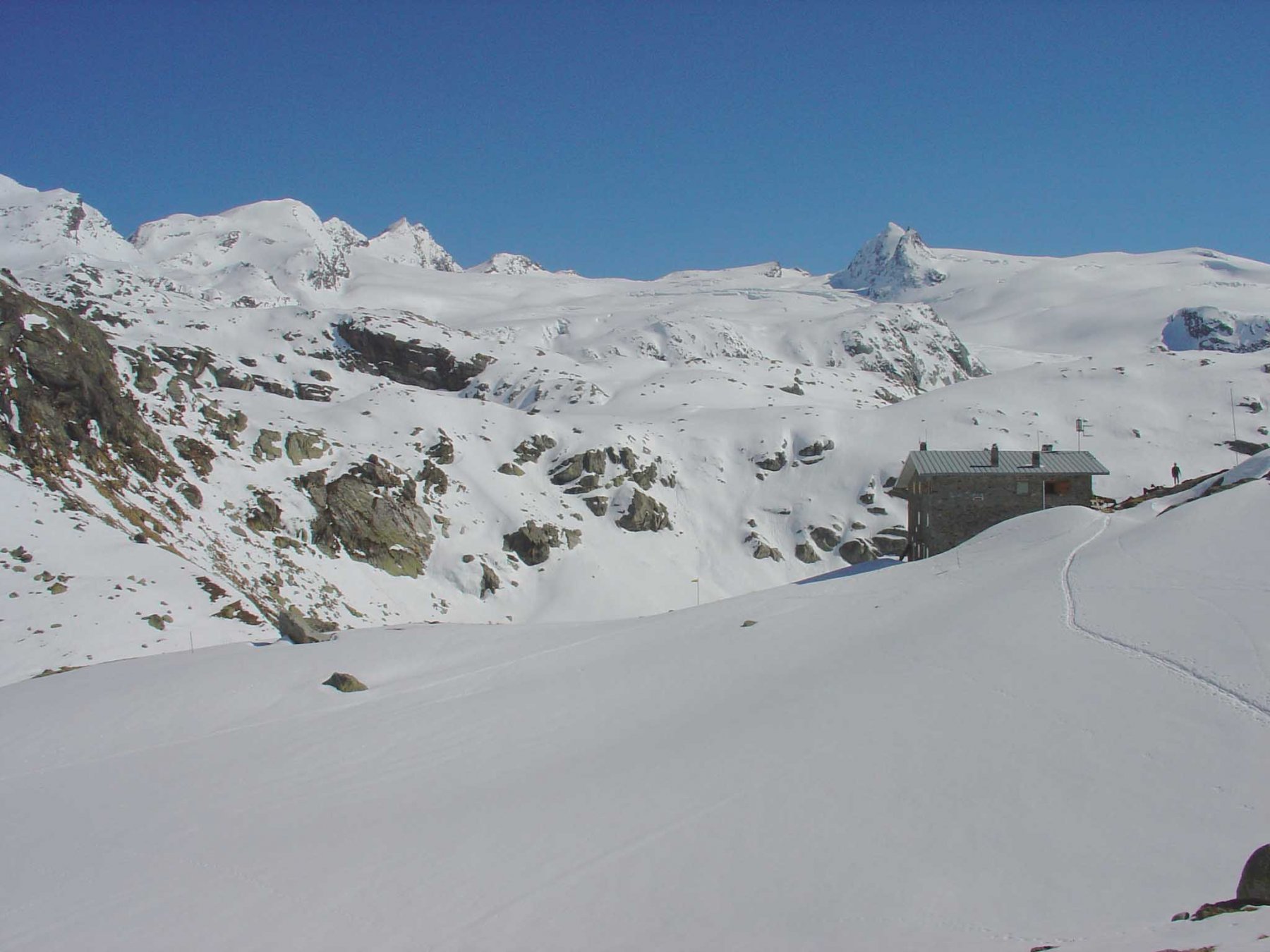
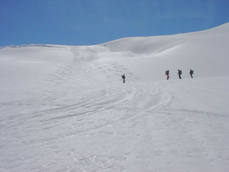
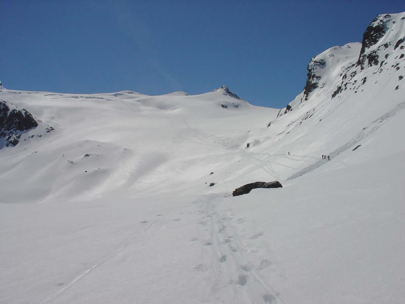
Da un ripiano oltre la 2^ cascata ove trovasi un ponticello, alcuni autori consigliano di risalire il canale nella gola a sinistra anzichè percorrere il sentiero con diversi tornanti che supera una importante bastionata; con neve sufficiente è comodamente possibile percorrere tutto il sentiero sci ai piedi, al suo termine dopo un traverso in leggera discesa si giunge al Lago del Ghiacciaio (baita ristrutturata m. 2.158). A monte è visibile la mulattiera che risale il pendio compreso l’attraversamento di un canale; se valutato in buone condizioni il canale (pericolo distacchi nevosi) seguire il percorso della mulattiera che raggiunge un colletto dietro il quale è posto il Rifugio Deffeyes. Da La Joux ore 3,45-4,00.
Qualora il canale non fosse in condizioni dal Lago del Ghiacciaio percorrere le sua sponda di valle quindi aggirarlo al fondo e risalire a sinistra di un corso d’acqua un pendio e al suo termine passare in una corta gola proseguire svoltando gradualmente a sinistra e giungere nei pressi dei Laghi del Rutor e stando a sinistra di essi raggiungere il Rifugio (con questo percorso calcolare 45 minuti in più).
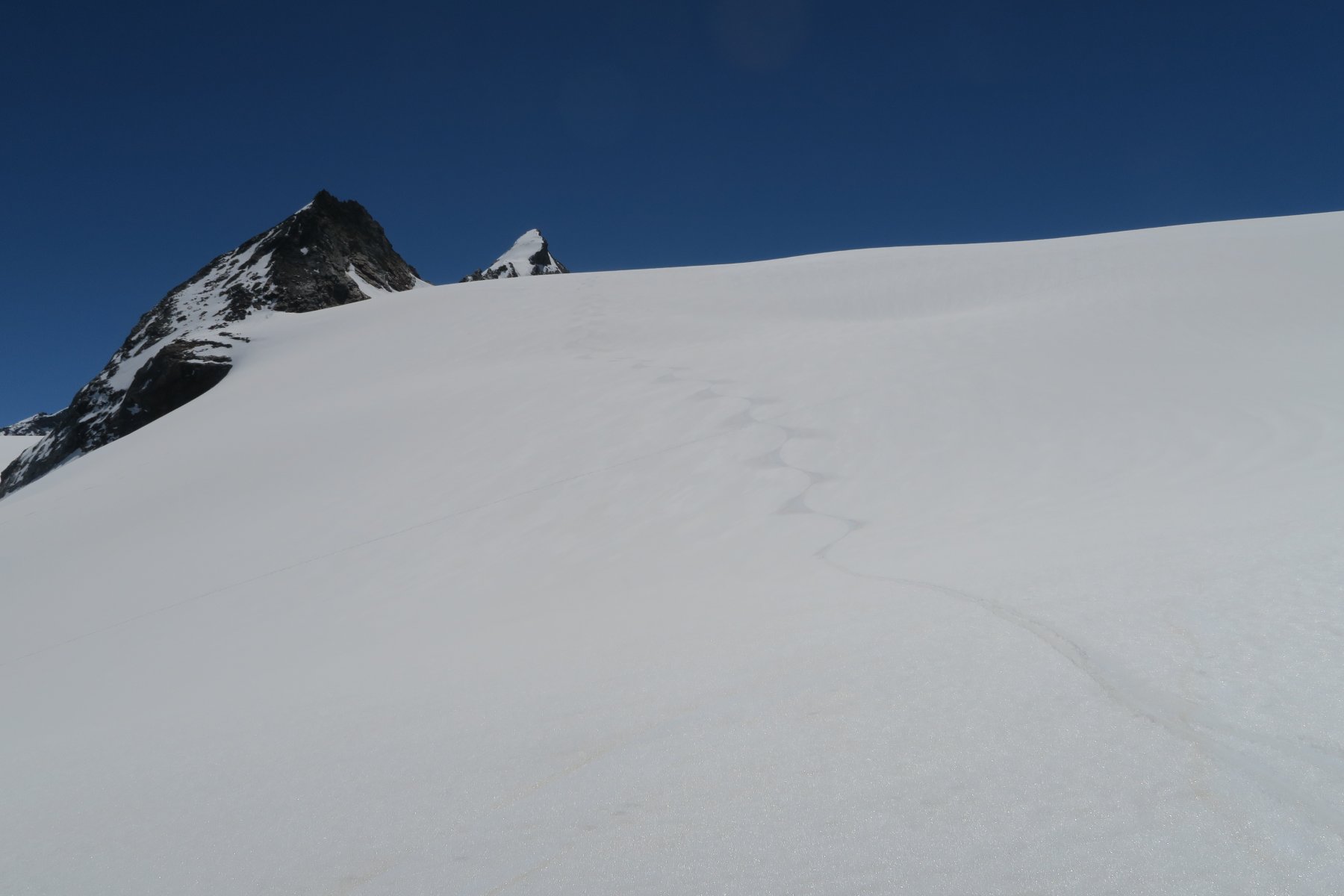
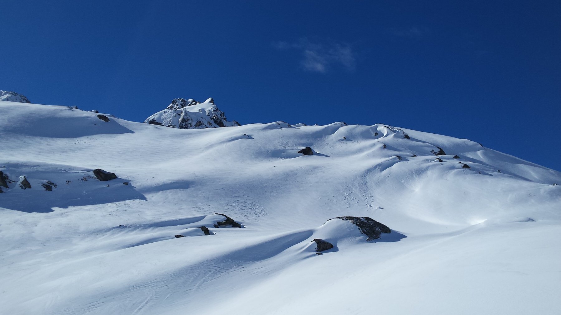
Dal rifugio abbassarsi nel ripiano sottostante a sinistra, quindi attraversare un pendio a mezzacosta (sentiero), raggiungere una dorsale, segue un tratto a saliscendi su gobboni, quindi scendere per raggiungere la lingua del ghiacciaio ed iniziare la salita sul medesimo.
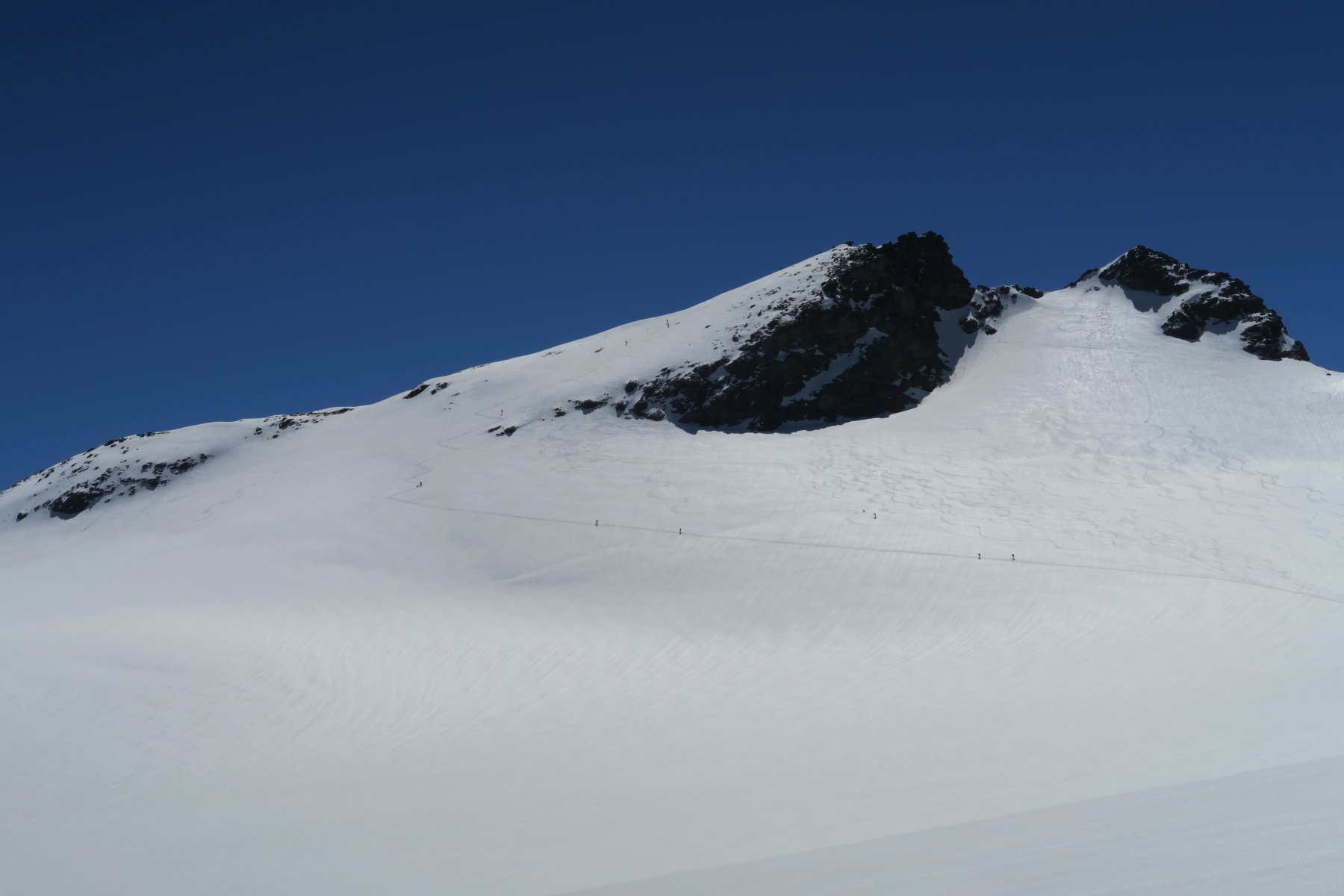
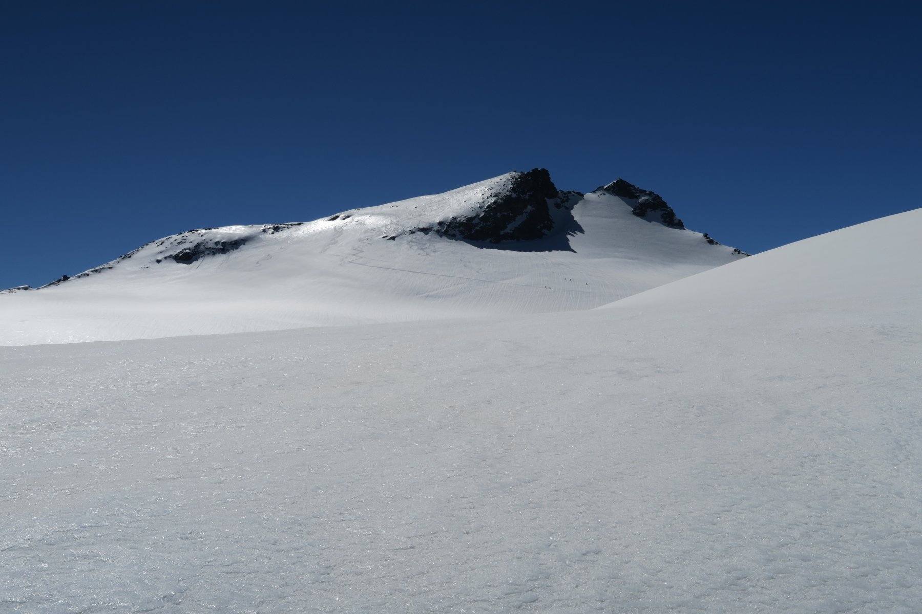
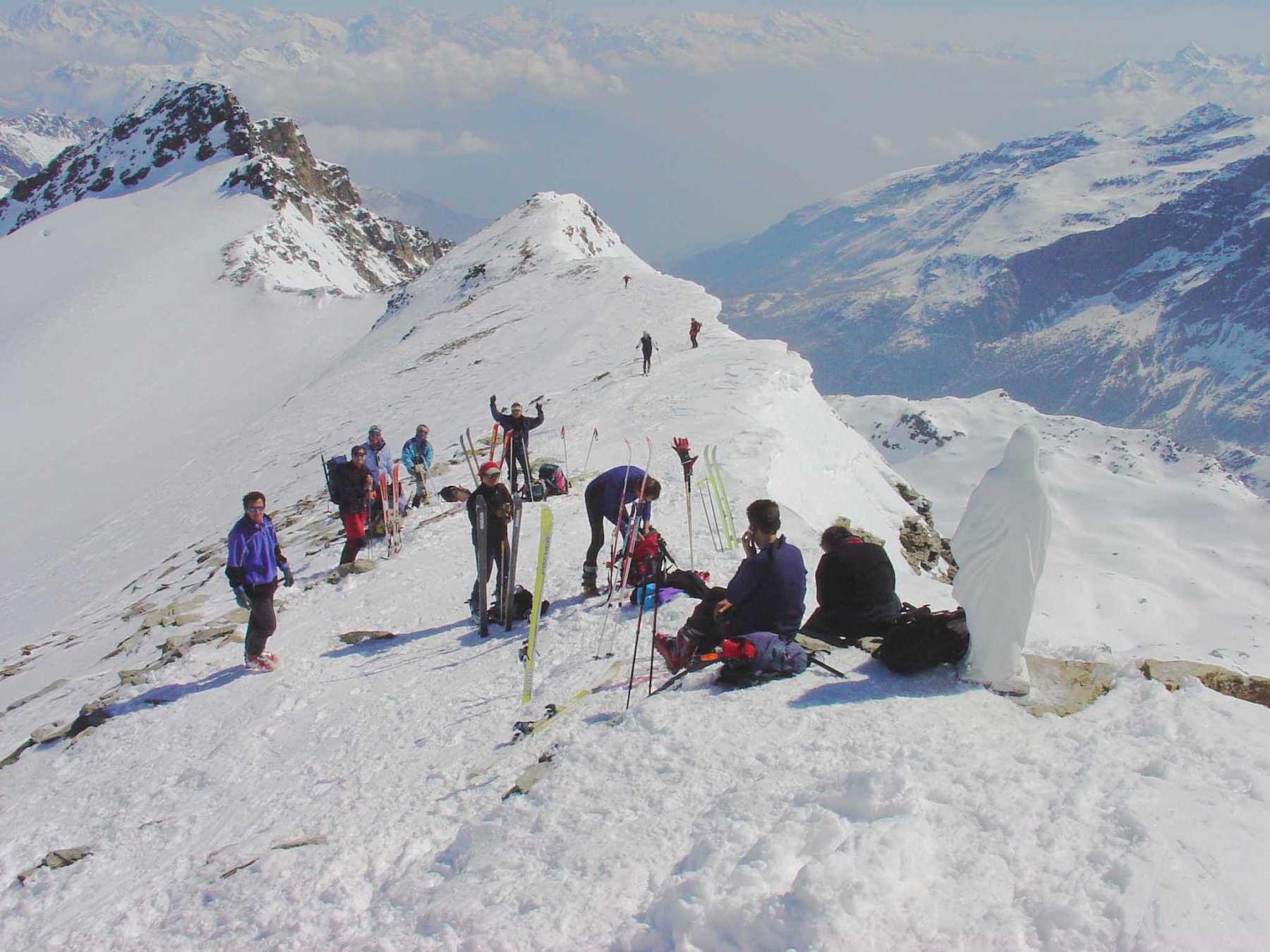
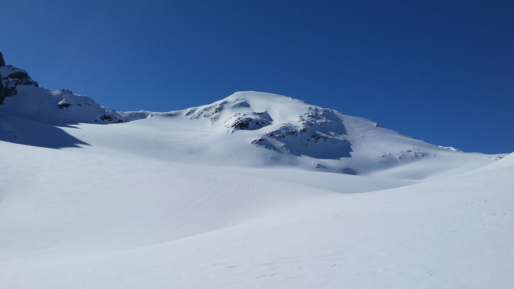
Alcuni autori consigliano di salire il ghiacciaio stando tutto sulla sinistra e facendo un lungo giro alla base dei Flambeau, Doravidi e Chateau-Blanc, ma è un percorso noioso con molti saliscendo ma è comodamente possibile, naturalmente con le dovute precauzioni, passare direttamente proprio a metà del ghiacciaio superando un pendio, un ripiano, un’altro pendio, un valloncello tra due nodi di crepacci fino a raggiungere un vasto pianoro, attraversarlo, scendere leggermente ed attaccare il pendio finale raggiungendo la cresta un pò a sinistra della vetta che si raggiunge in breve sci ai piedi.
Dal rifugio ore 3,30.
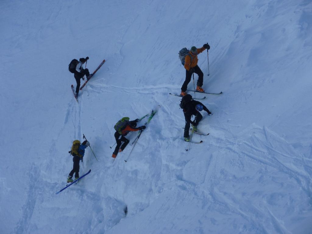
Discesa: non conviene scendere sull’itinerario di salita poichè è troppo discontinuo, ma è molto remunerativo effettuare la traversata sul ramo sinistro del ghiacciaio.
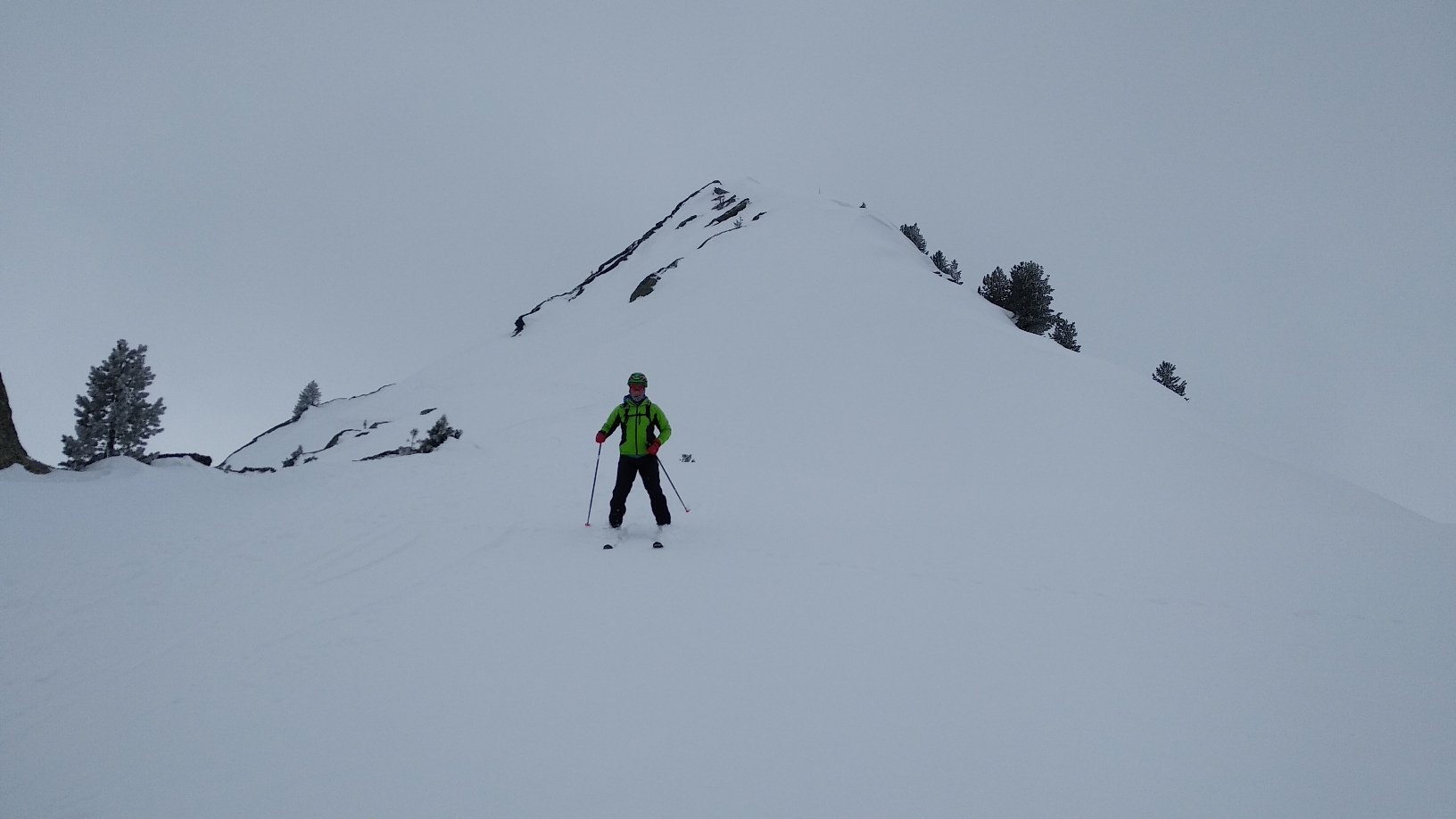
Dalla vetta ritornare indietro sulla cresta di una trentina di metri quindi scendere direttamente il pendio e tenersi man mano a sinistra, quindi percorrere l’ampio pianoro puntando al Colle Avernet posto a sinistra delle Vedette (pochi metri di risalita sul lungo); dal Colle scendere in direzione nord-ovest su magnifici pendii del ghiacciaio, passare tra due zone con nodi di crepacci facilmente individuabili, continuare nella medesima direzione e tenersi preferibilmente alla base dei pendii del Grande Assaly, stare tutto a sinistra dei Laghi del Rutor, scendere in una corta gola del rio che si origina dal Lago, portarsi sulla sponda a destra e raggiungere il pianoro a sinistra del Lago del Ghiacciaio, attraversare un ponticello, scavalcare una dorsale, scendere di pochi metri appena al di sotto di un mammellone roccioso quindi attraversare a destra quasi in piano fino a raggiungere il sentiero del Rifugio e lungo questo scendere fino al ponticello sopra la 2^ cascata dove termina la parte sciistica e in mezz’ora a piedi si raggiunge La Joux.
Nelle vicinanze Mappa
Itinerari
23/02/2013 AO, La Thuile D+ 1624 m BSA, PD Nord
Grand Assaly da La Joux
 50m
50m
18/01/2020 AO, La Thuile D+ 1860 m BS Varie
Colmet (Col) da La Joux, giro del Mont Colmet
 50m
50m
14/01/2026 AO, La Thuile D+ 1397 m BS Nord-Est
Valaisan (Mont) da La Joux
 50m
50m
25/01/2020 AO, La Thuile D+ 1315 m BS Nord
Dents Rouges (les) o Mont Charve da La Joux
 50m
50m
21/03/2024 AO, La Thuile D+ 900 m MS Nord-Est
Thuilette (Mont) da La Joux
 50m
50m
19/04/2022 AO, La Thuile D+ 1350 m OS Nord
Fréduaz Orientale (Monte) da La Joux
 50m
50m
28/04/2022 AO, La Thuile D+ 1654 m BSA Nord-Ovest
Paramont (Becca Bianca del) da la Joux per il Rifugio Deffeyes
 50m
50m
09/03/2026 AO, La Thuile D+ 1000 m BS Ovest
Croce (Punta della) da La Thuile
 2.1Km
2.1Km
27/11/2025 AO, La Thuile D+ 1496 m BS Nord
Freduaz Centrale (Monte) da la Thuille
 2.8Km
2.8Km
22/02/2025 AO, La Thuile D+ 1353 m MS Est
Bella Valletta (Monte) da la Thuile
 2.9Km
2.9Km