1.8Km
1.8Km


Note
 0m
0m
0m
0m
0m
0m
0m
0m
0m
0m
0m
0m
0m
0m
0m
0m
0m
0m
0m
0m
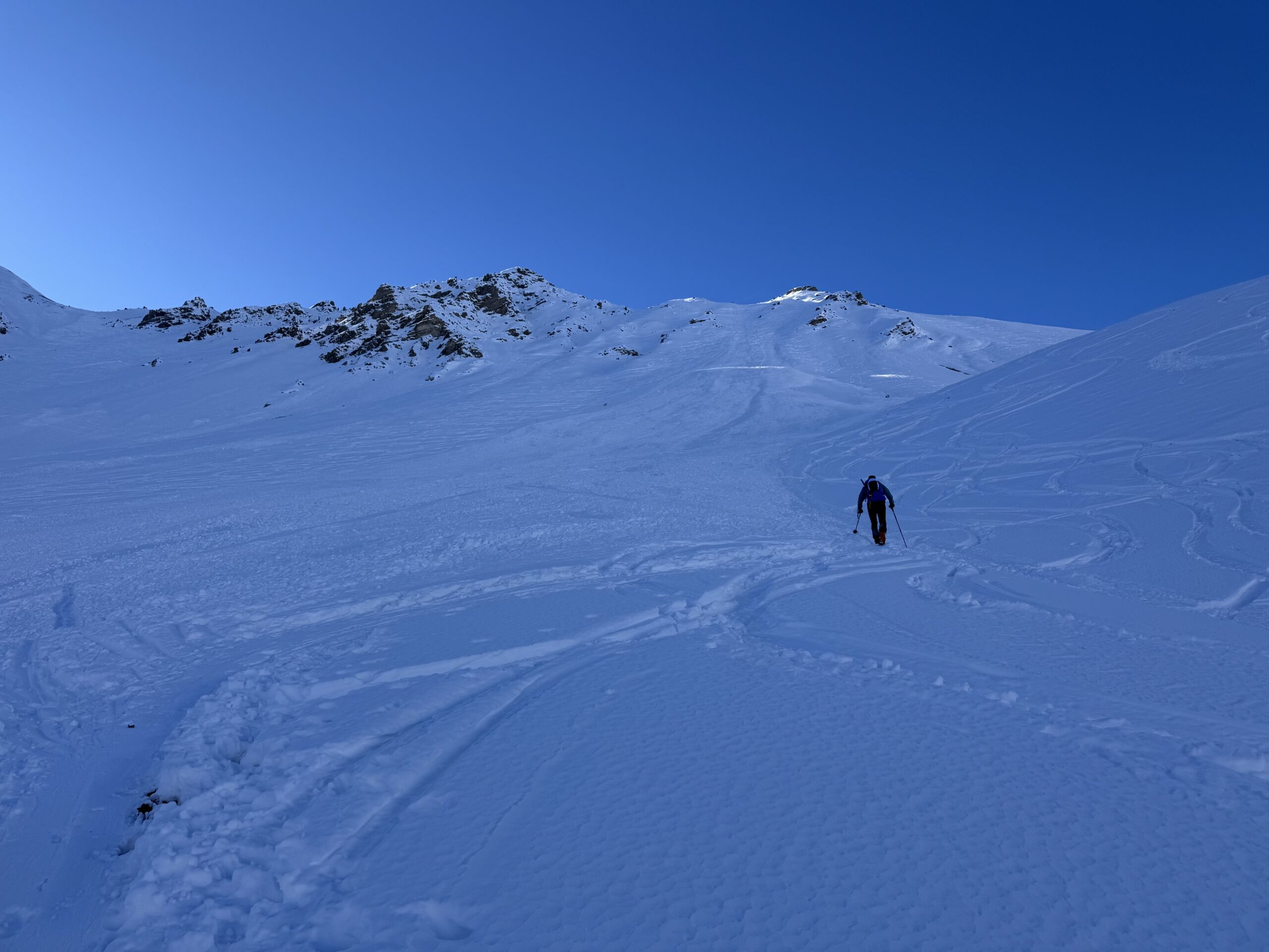
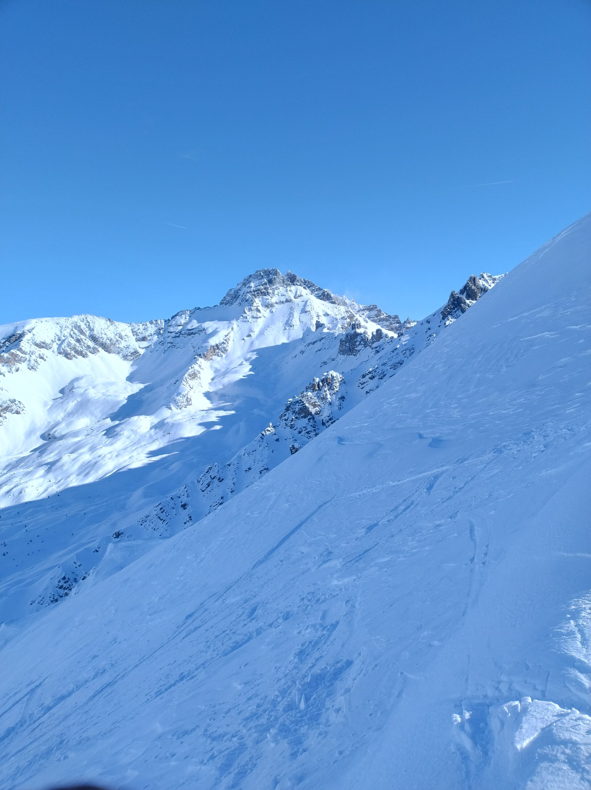
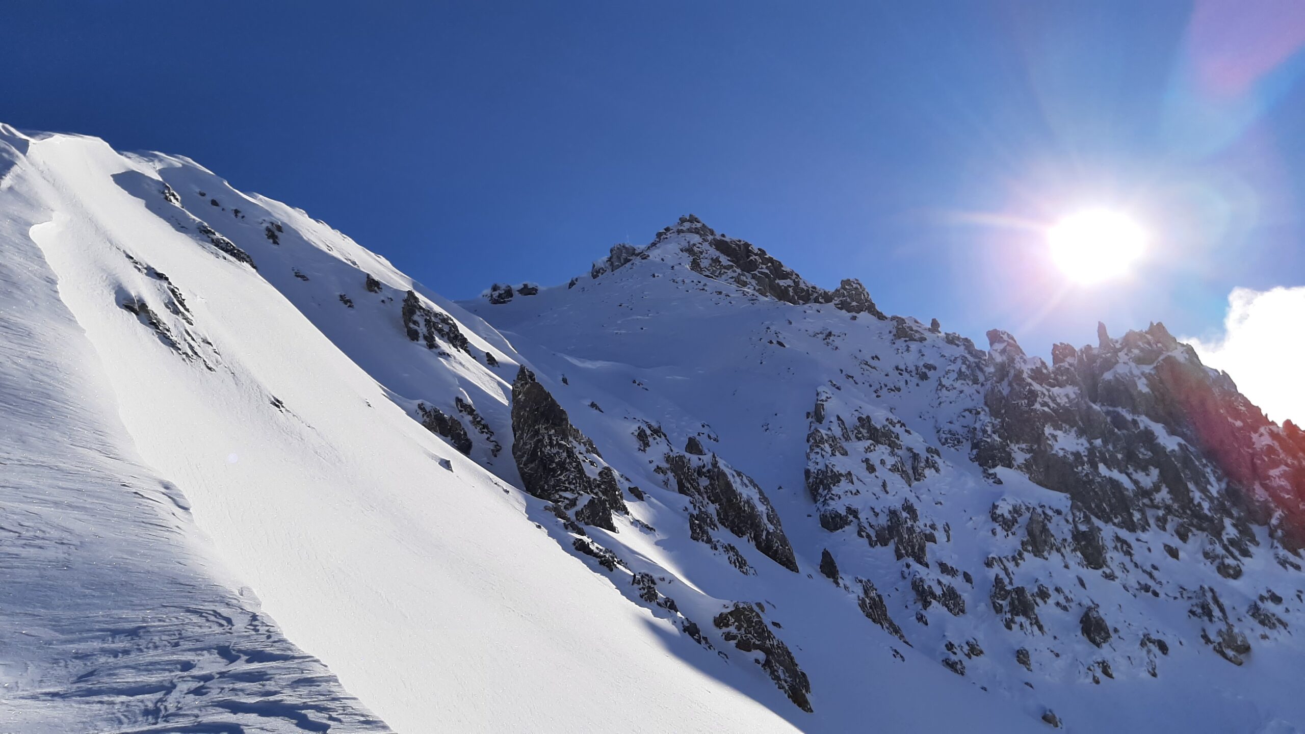
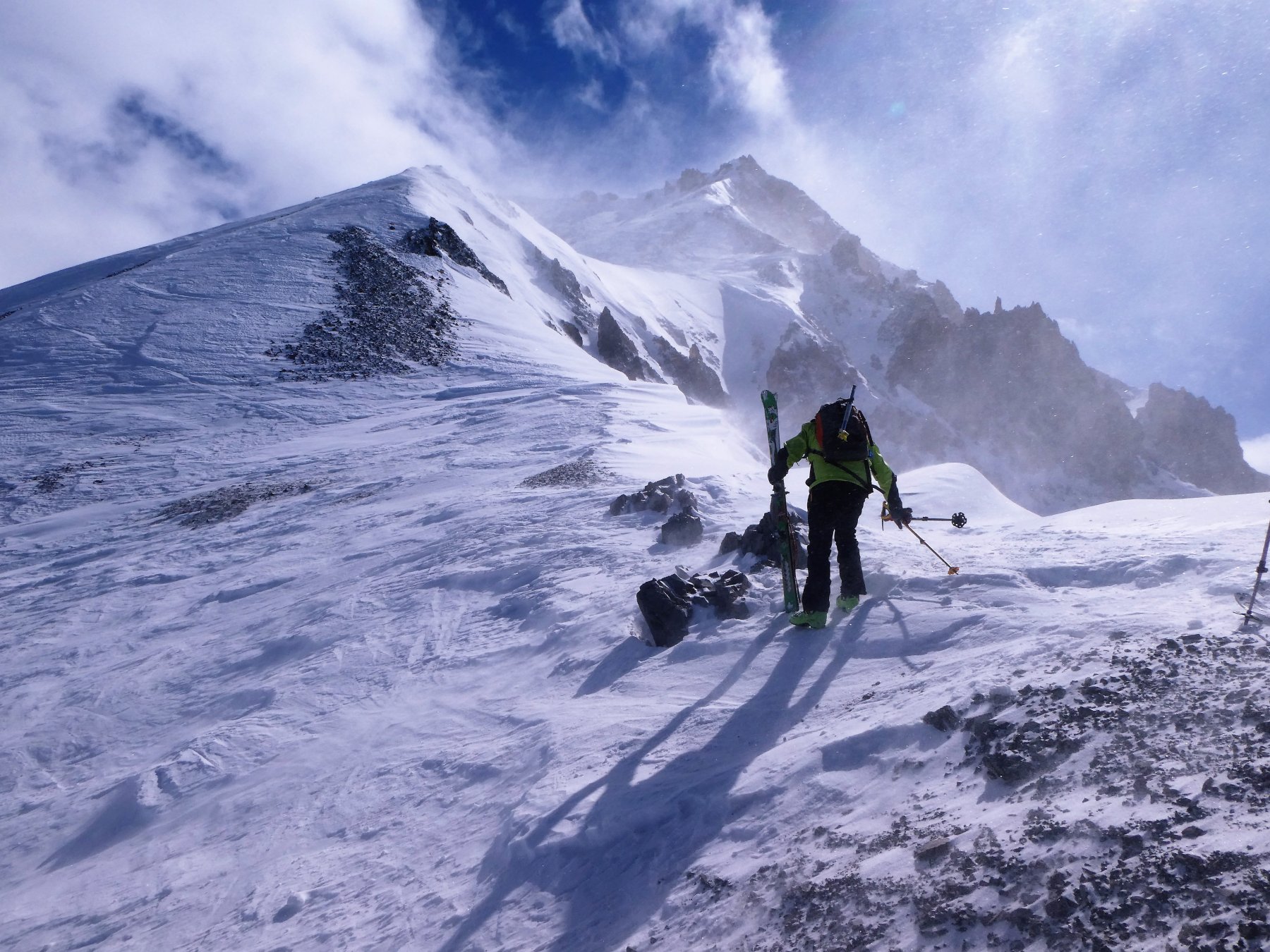
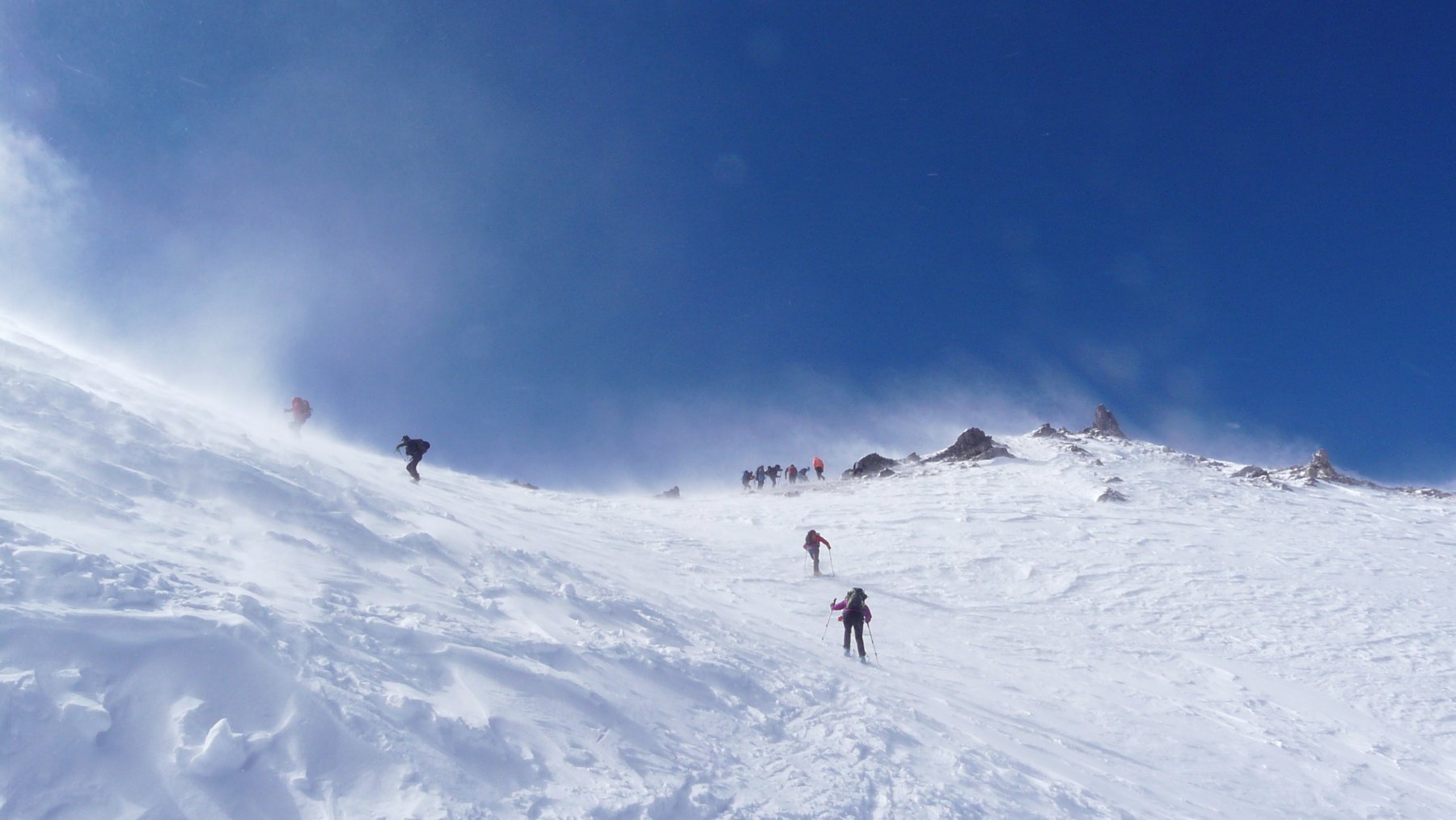
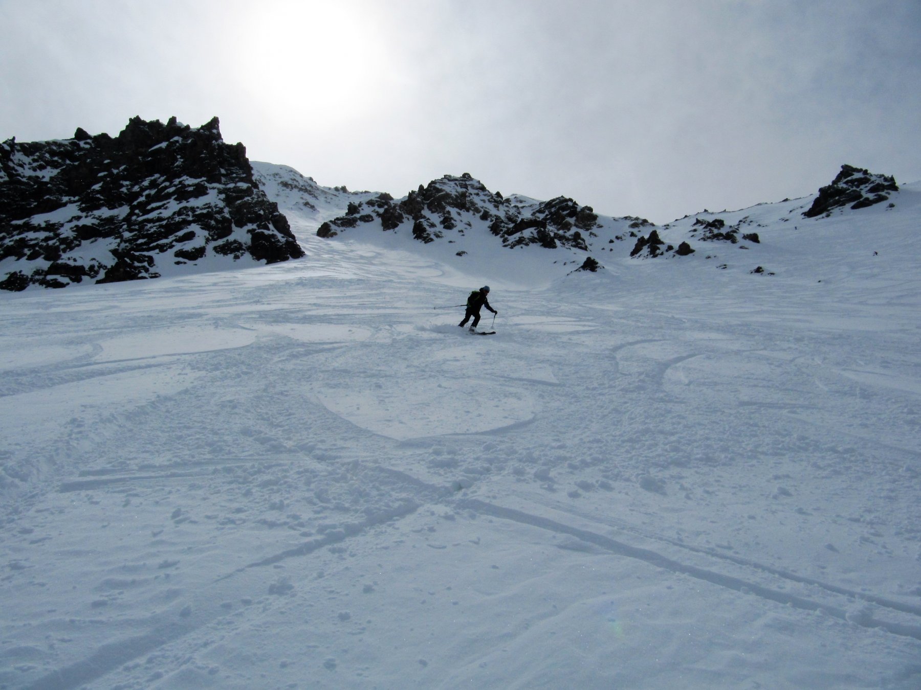
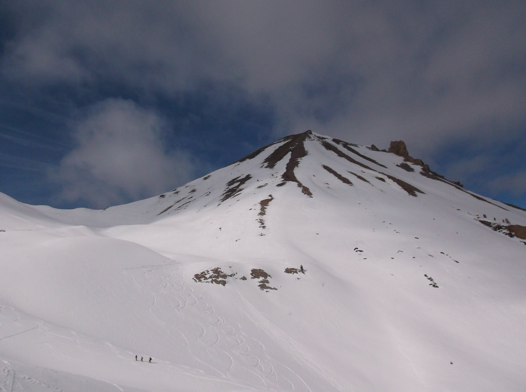
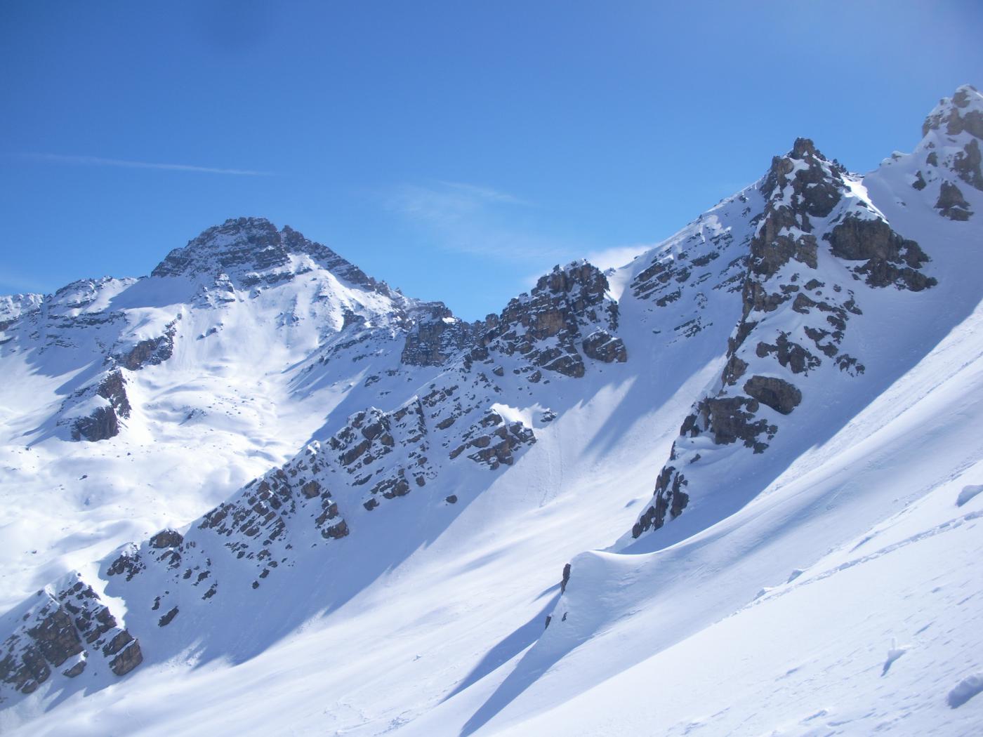
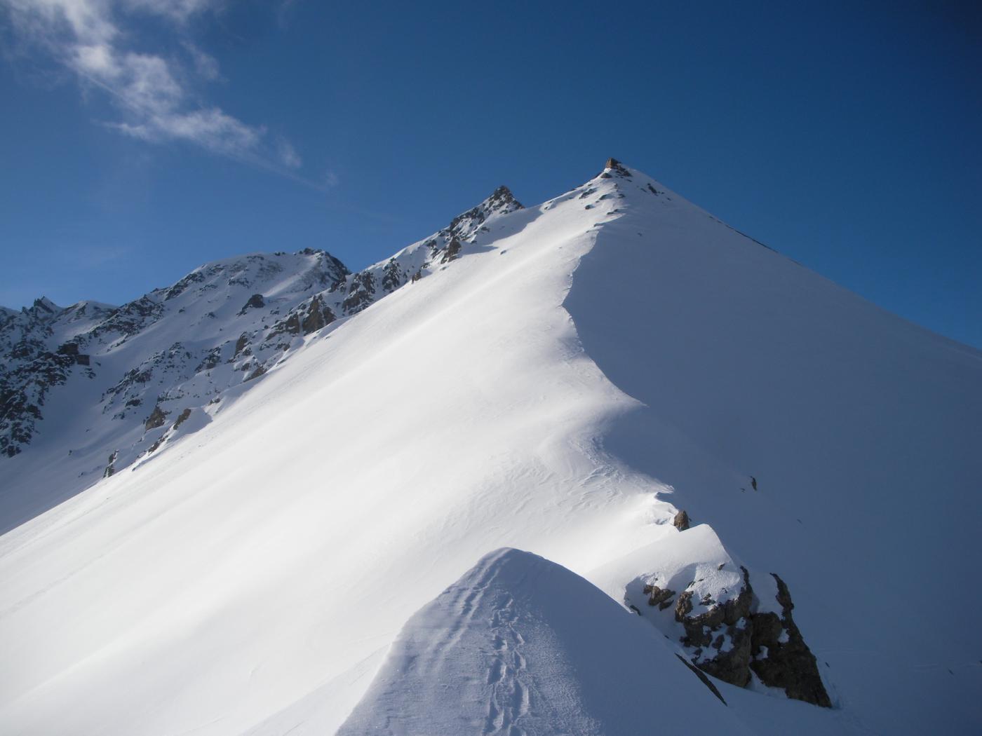
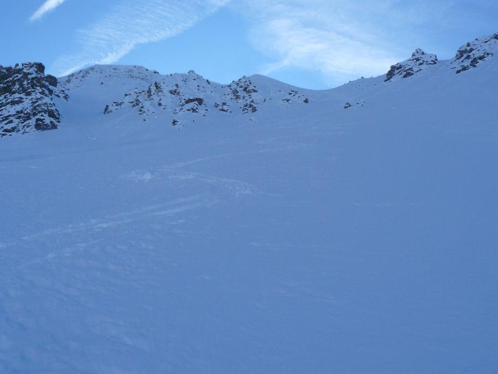
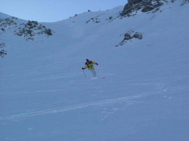
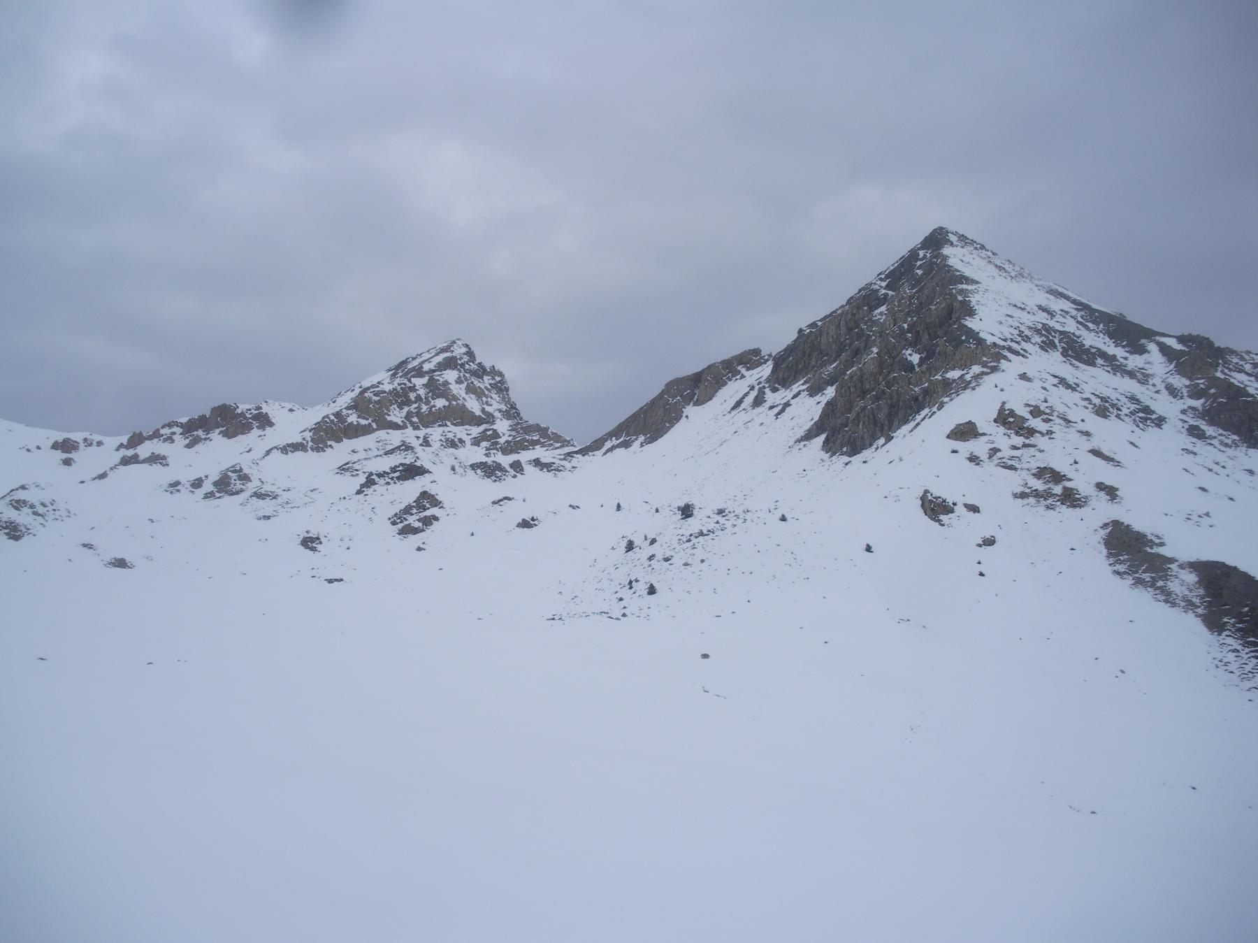
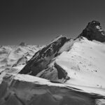
Pendio 35° 300m. Neve farinosa nel pendio.
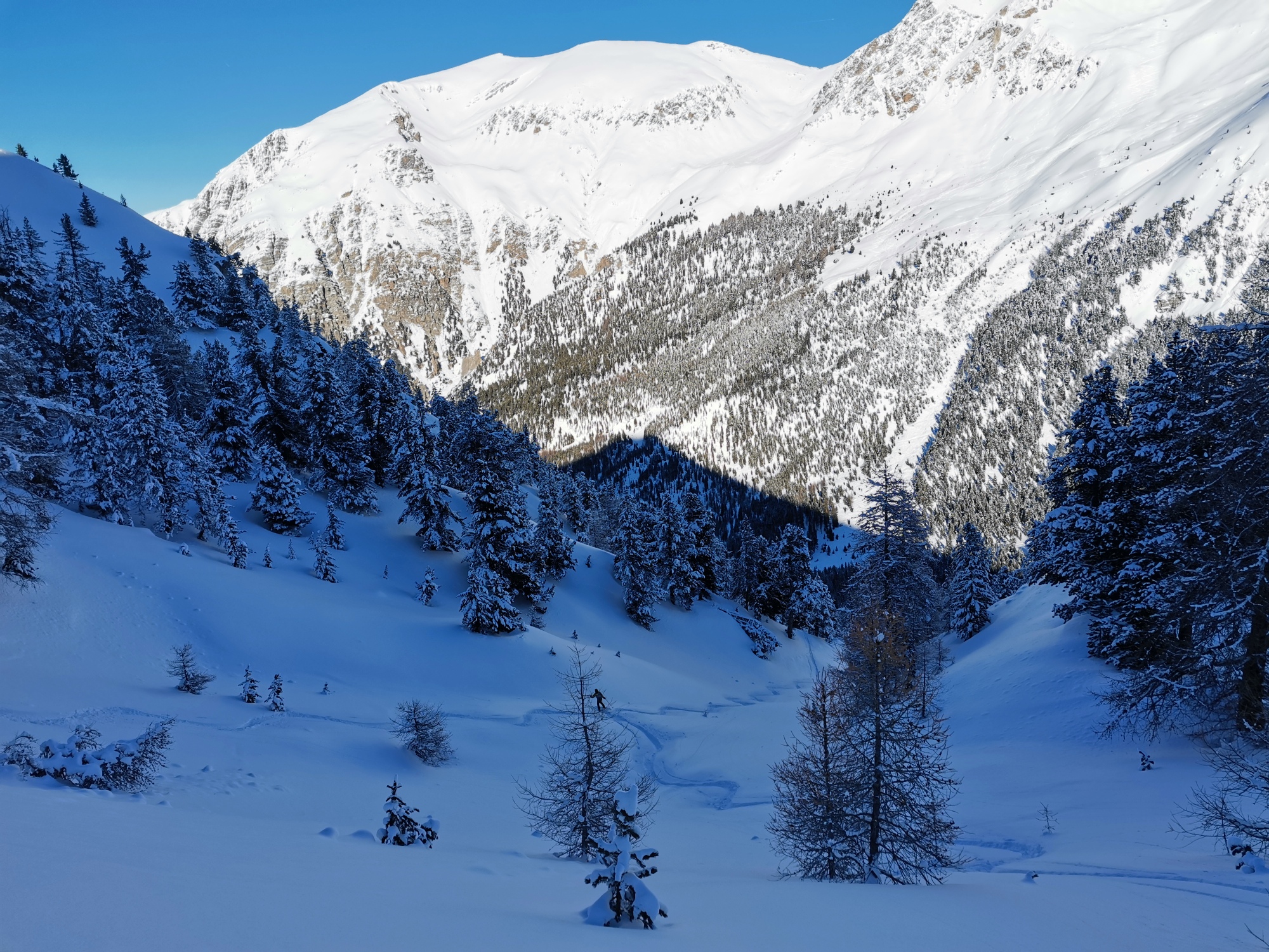
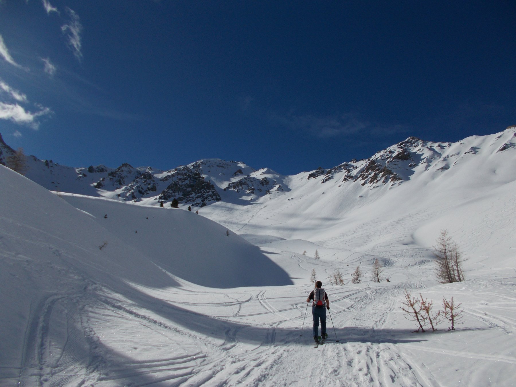
Avvicinamento
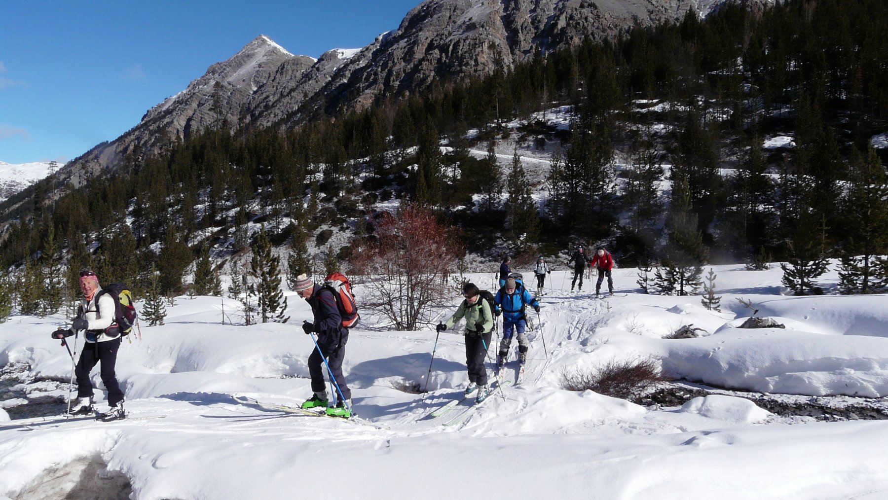
Raggiungere Briançon dove si devia a destra seguendo le indicazioni per il Col d'Izoard. Superato Cervieres si prosegue ancora per alcuni km fino alla borgata di le Laus, dove termina lo sgombero della neve, qui si posteggia.
Descrizione
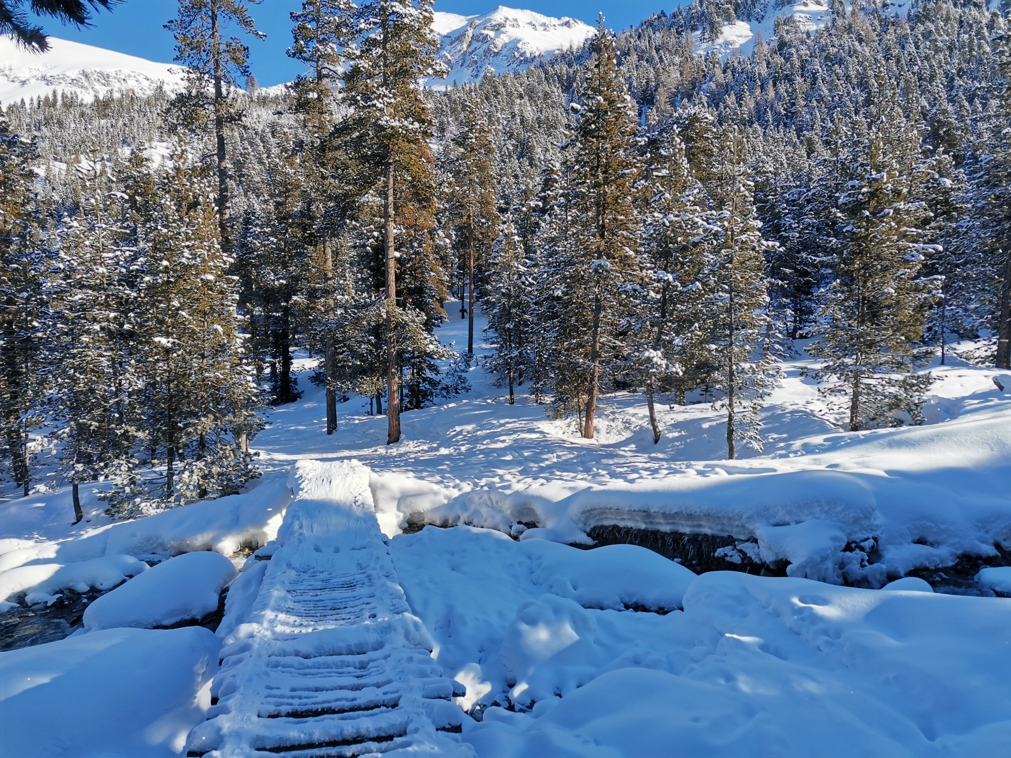
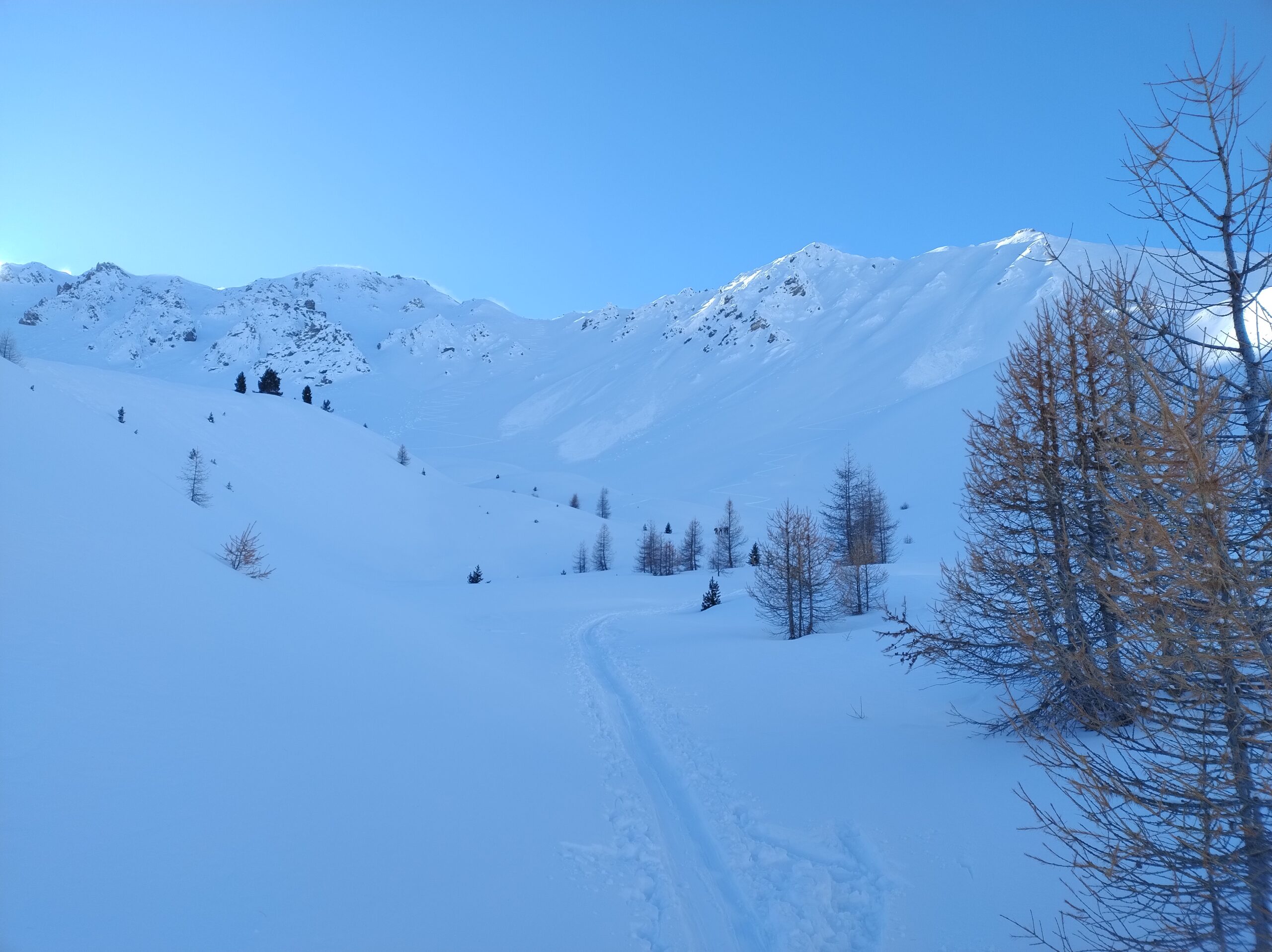
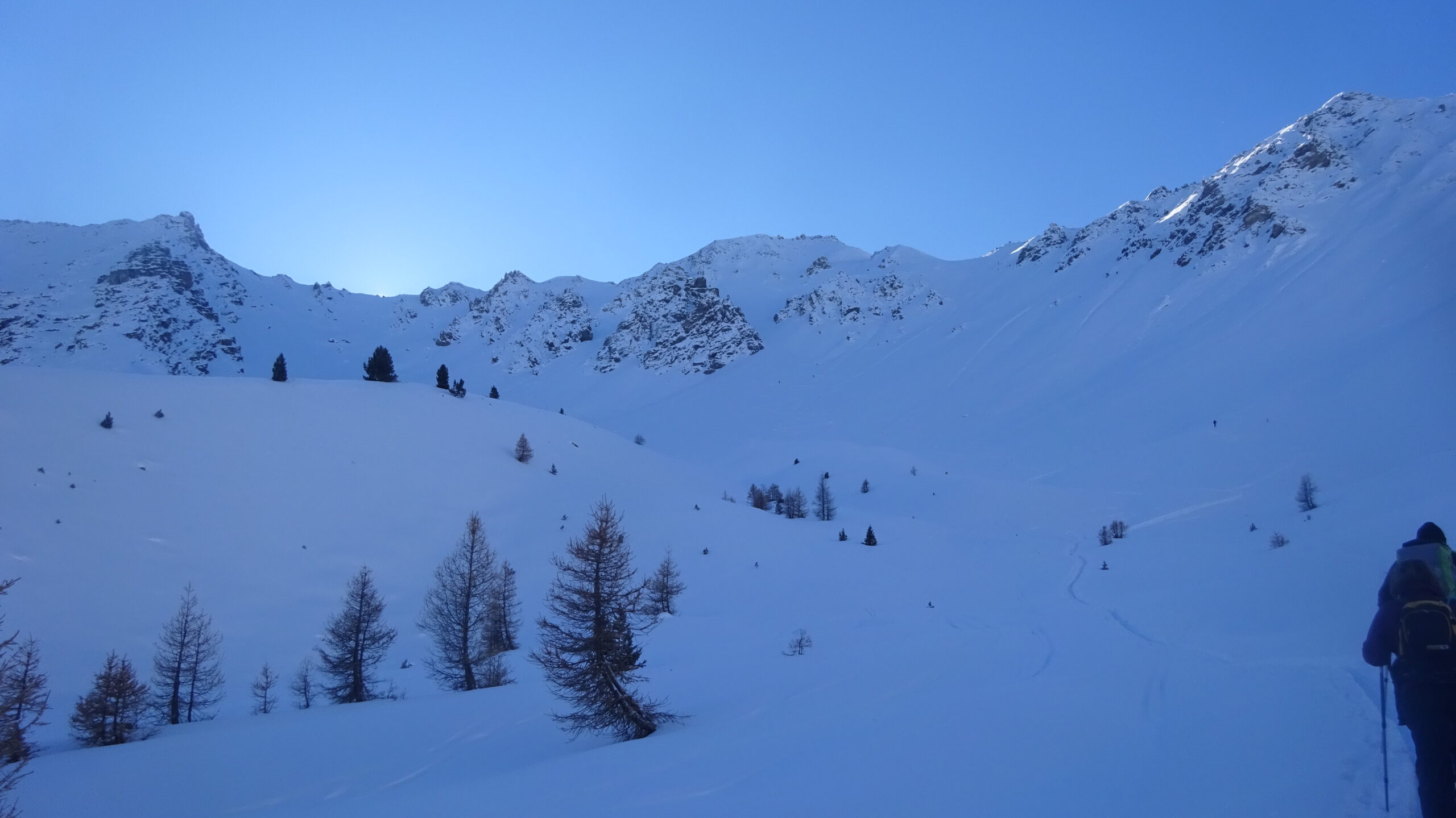
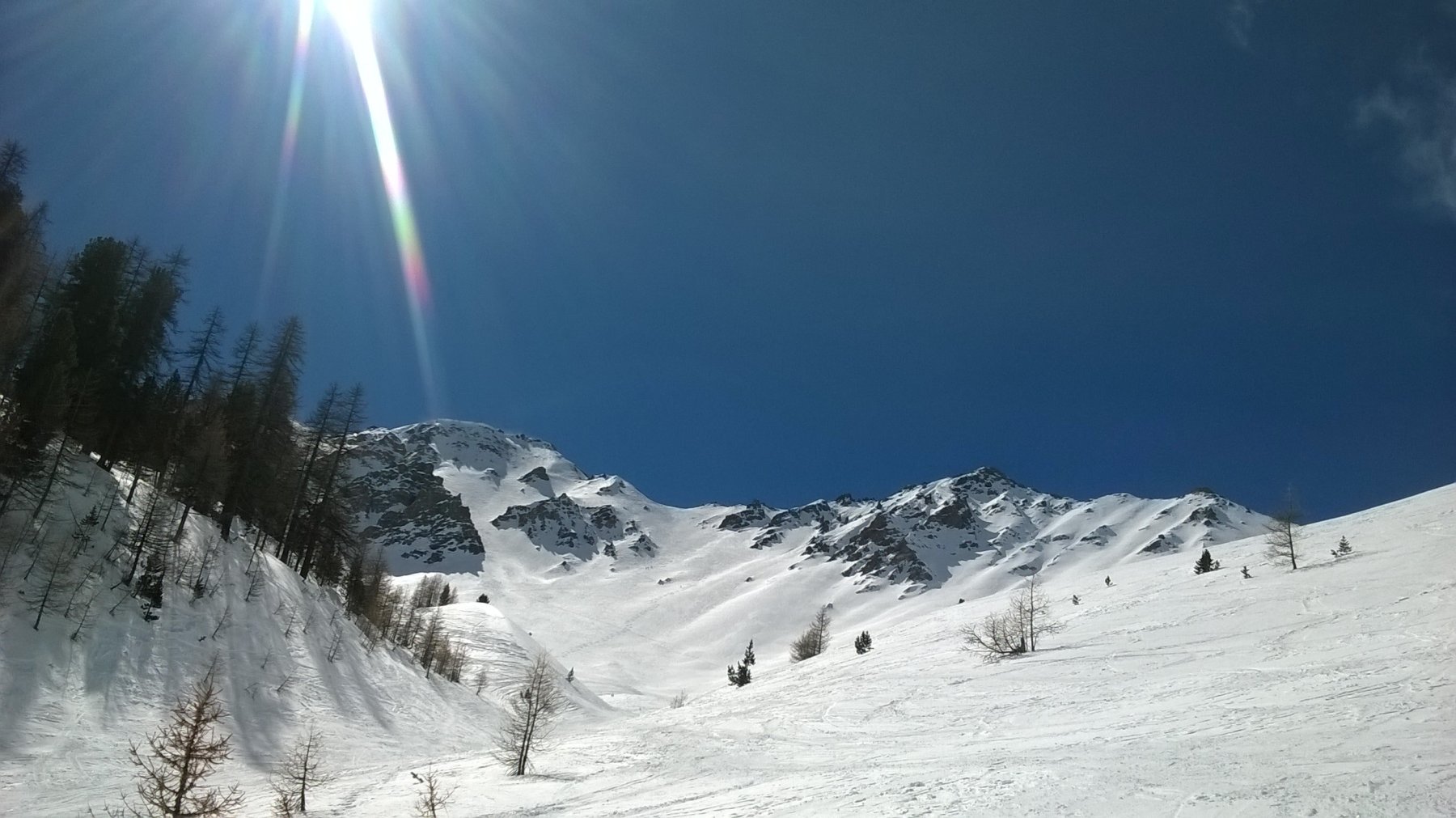
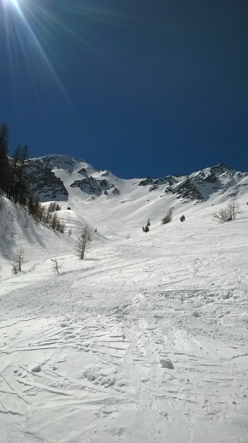
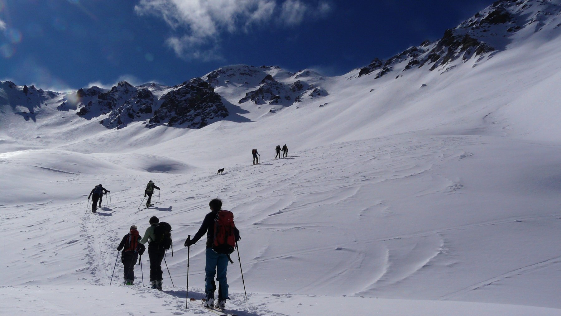
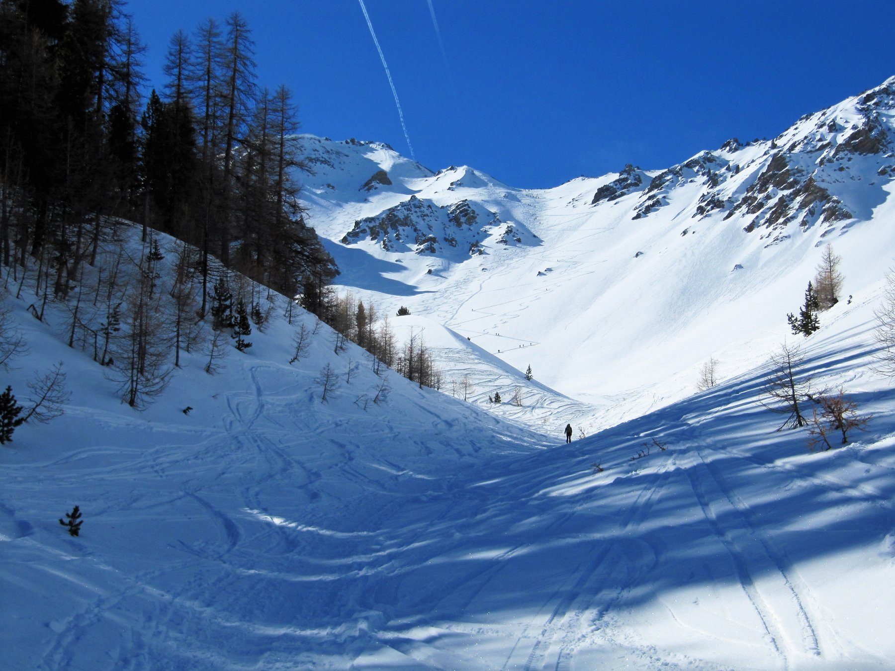
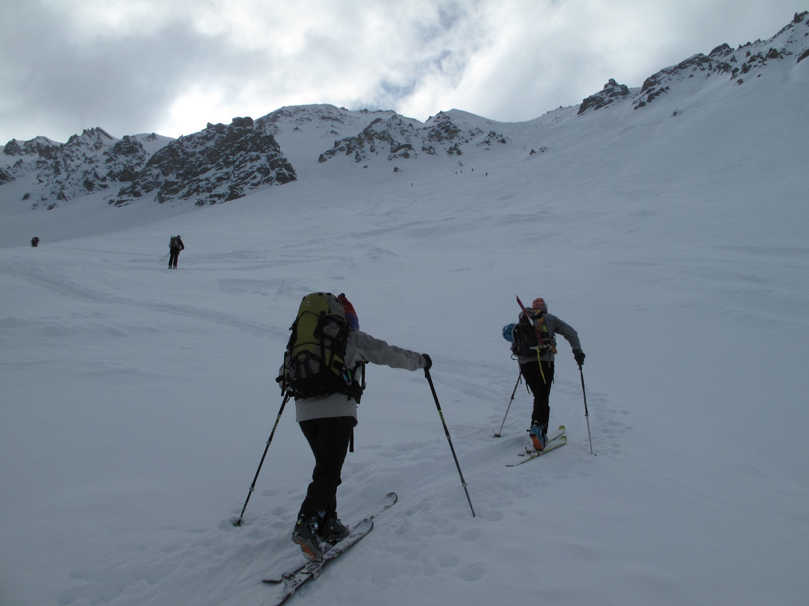
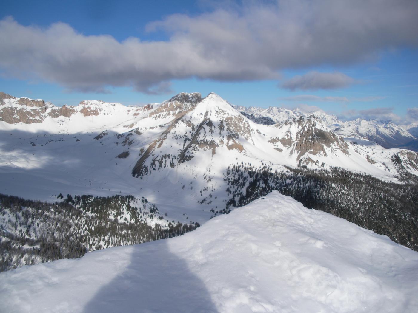
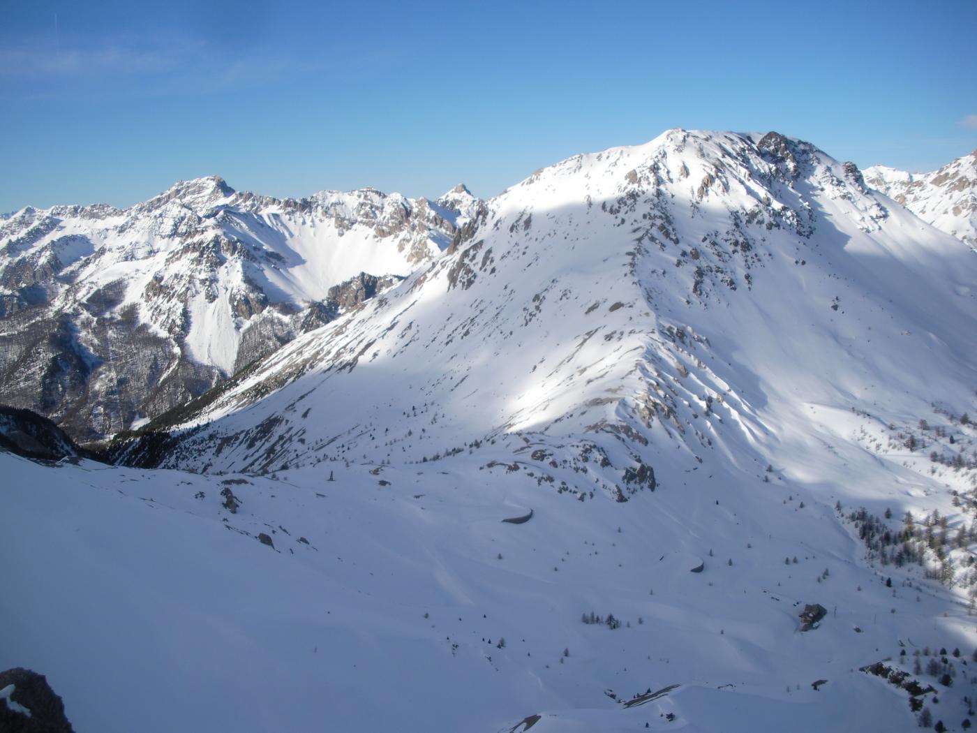
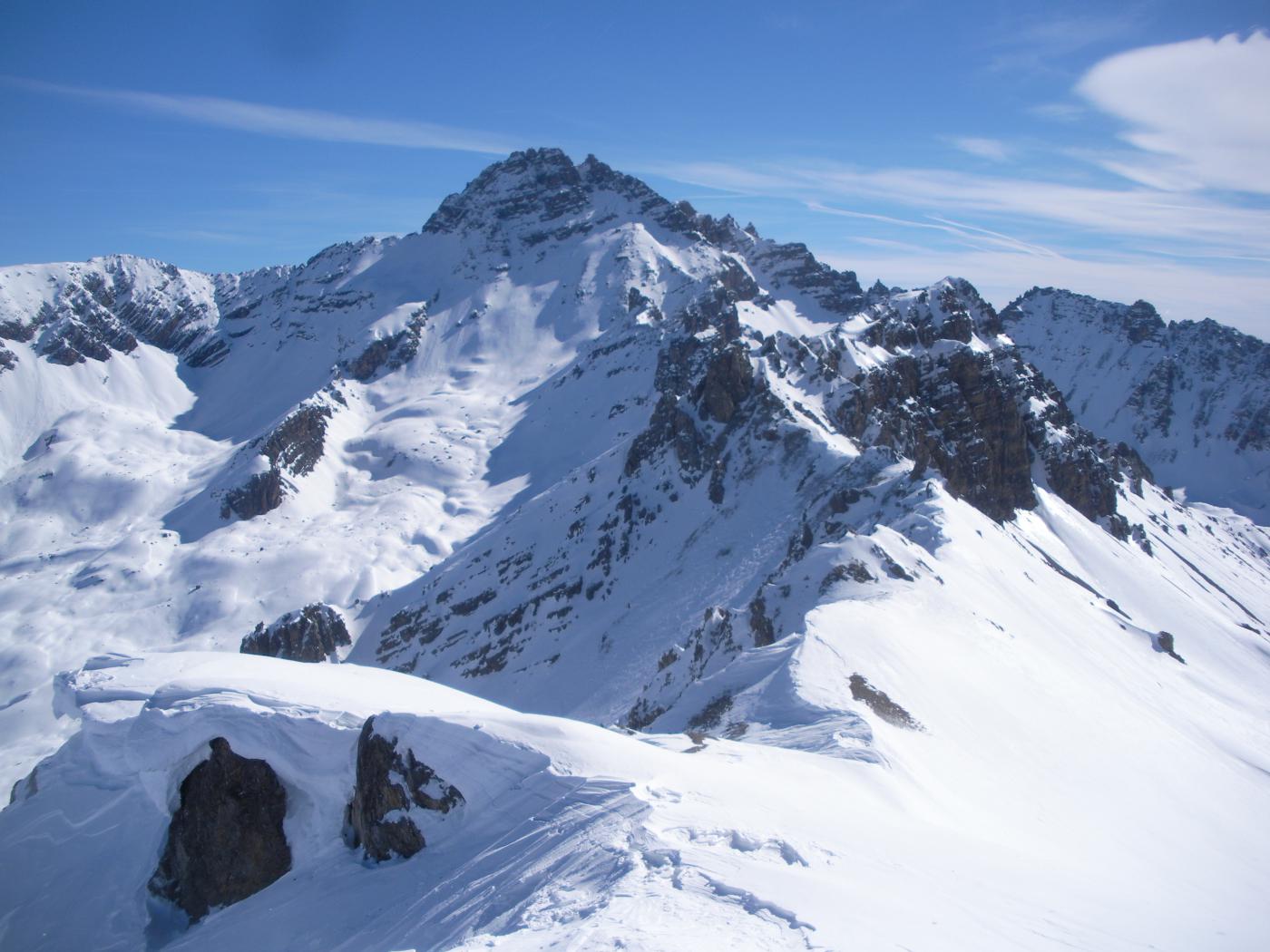
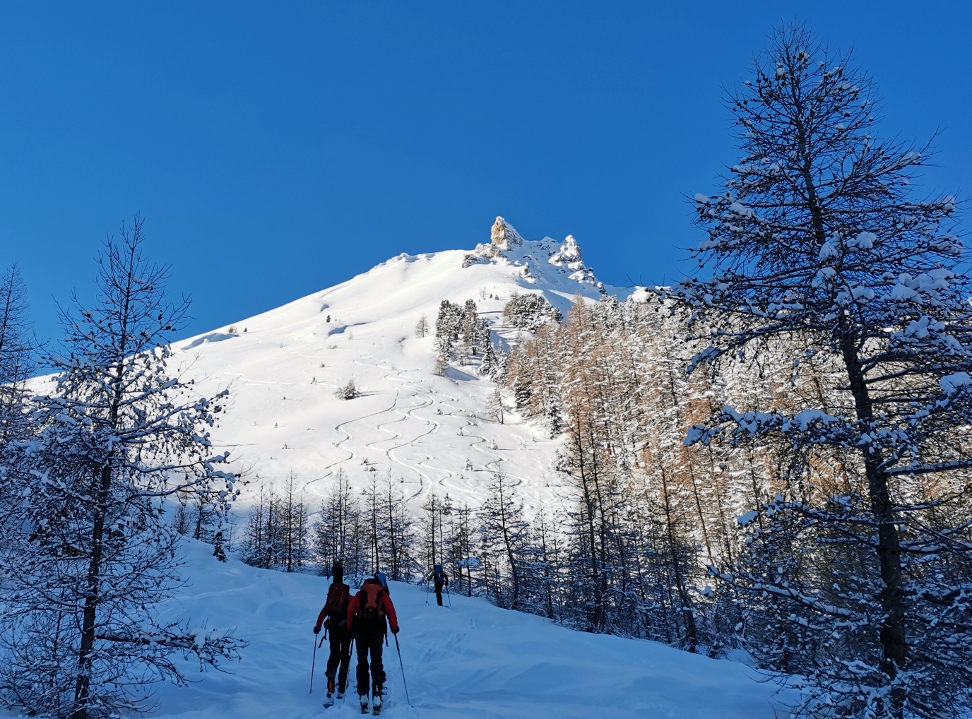
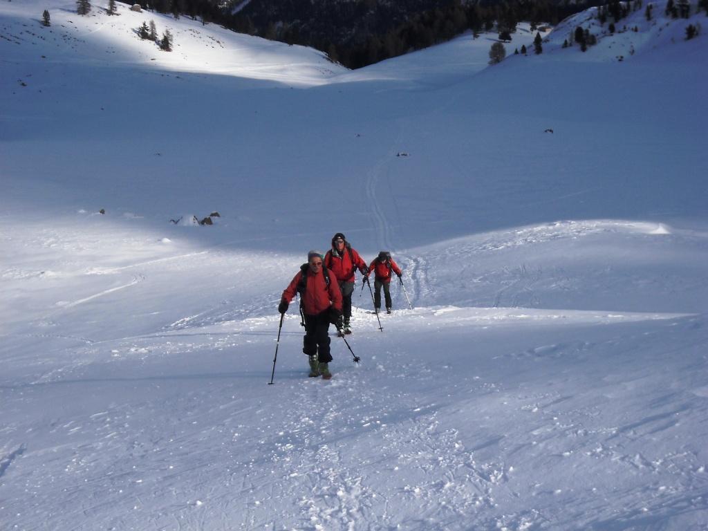
Alla partenza seguire la pista di fondo du Blétonnet. Alla fine, girare a destra verso il col Perdù. Usciti dal bosco, si va diritto Nord nel couloir di destra che si trova davanti.
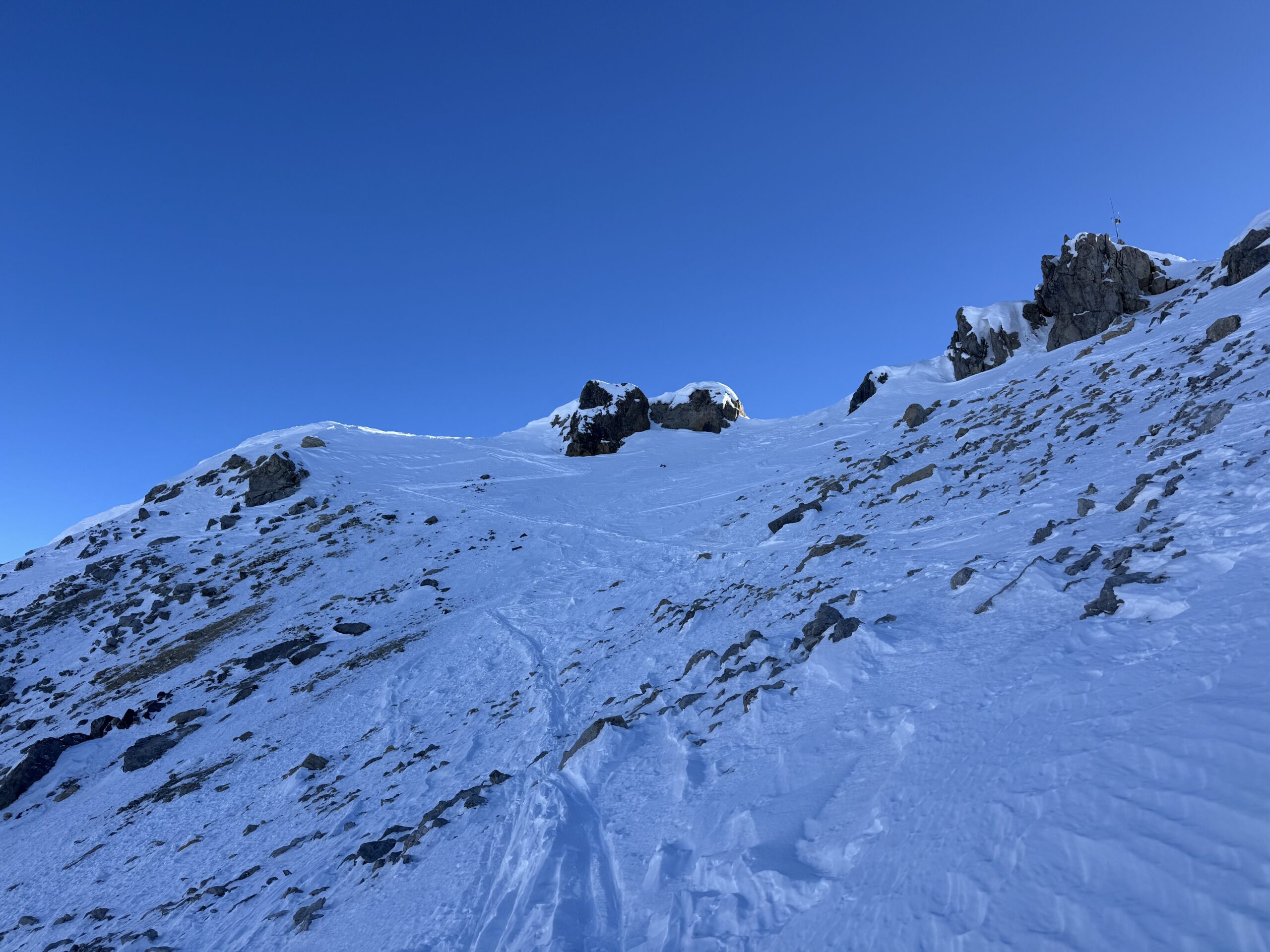
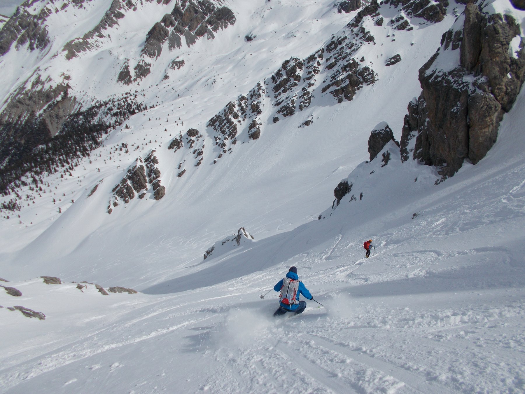
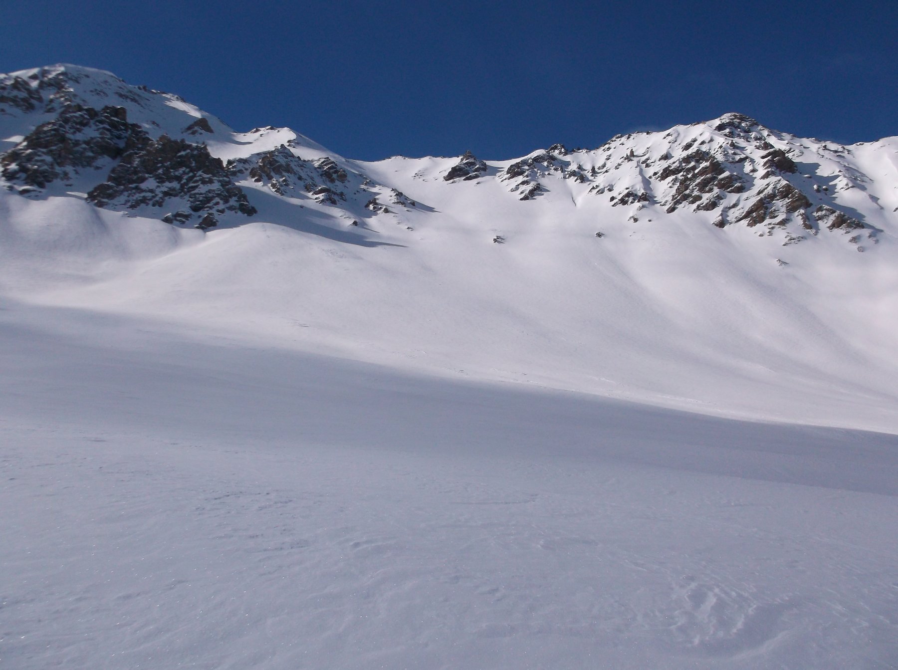
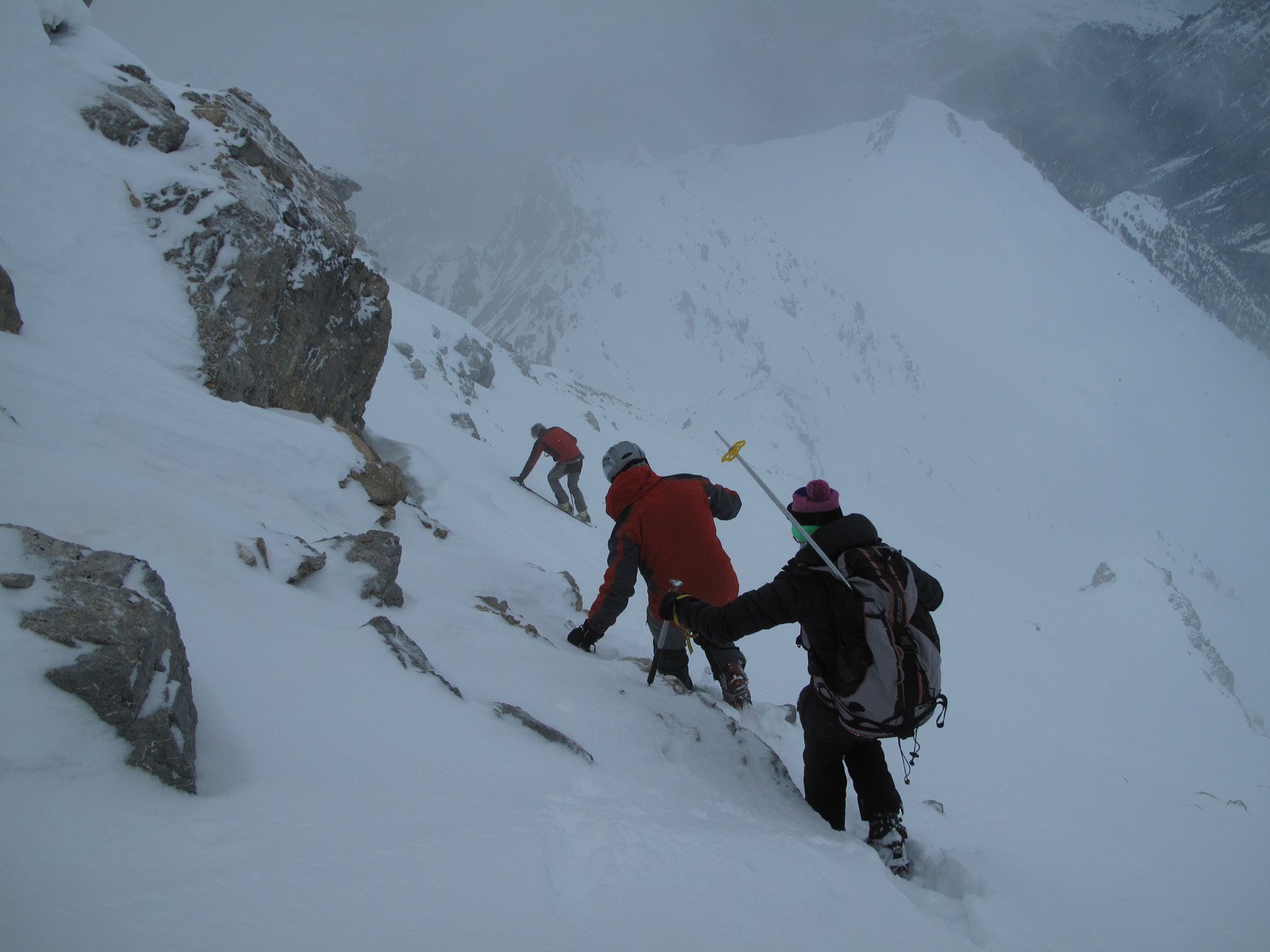
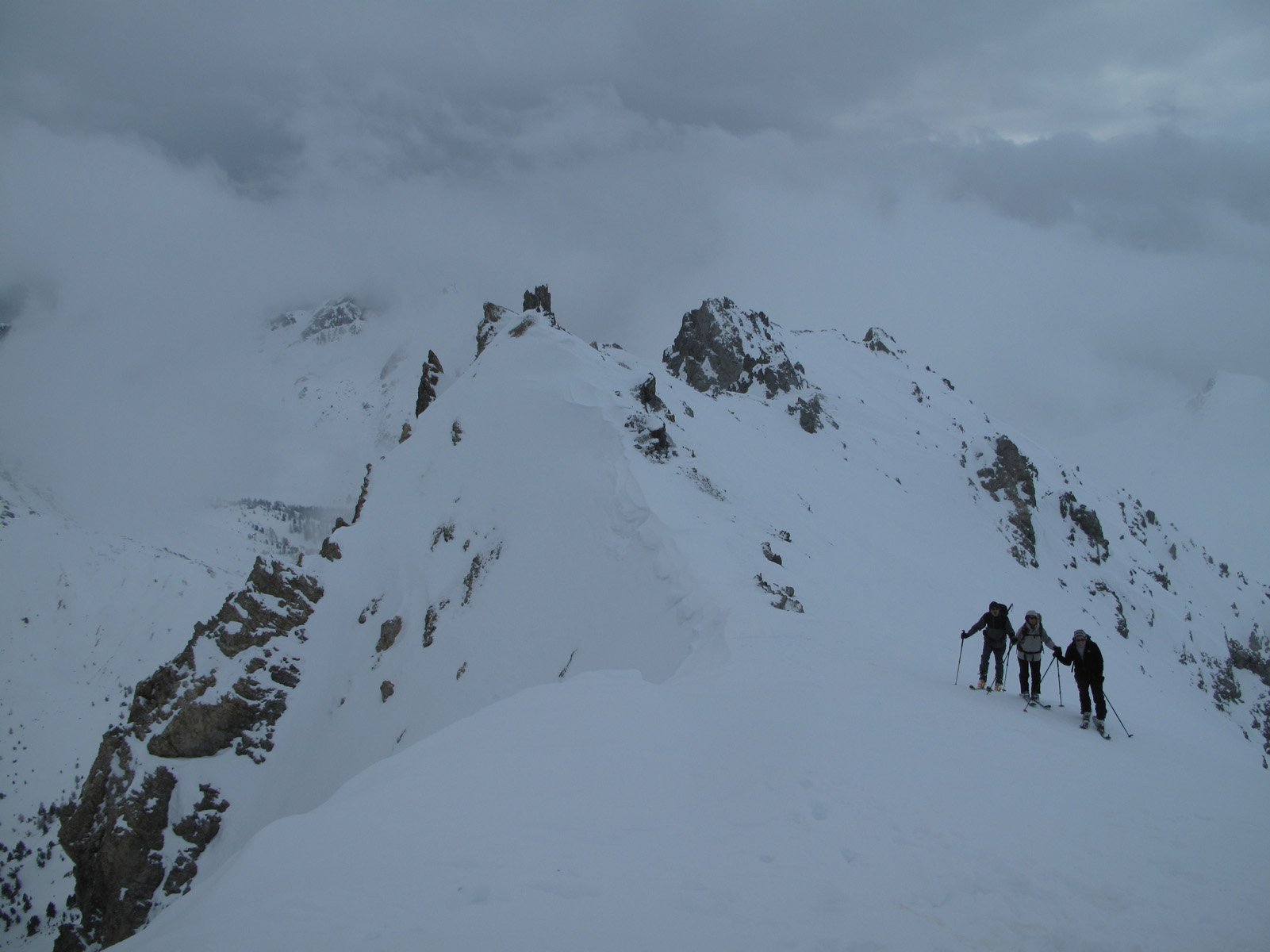
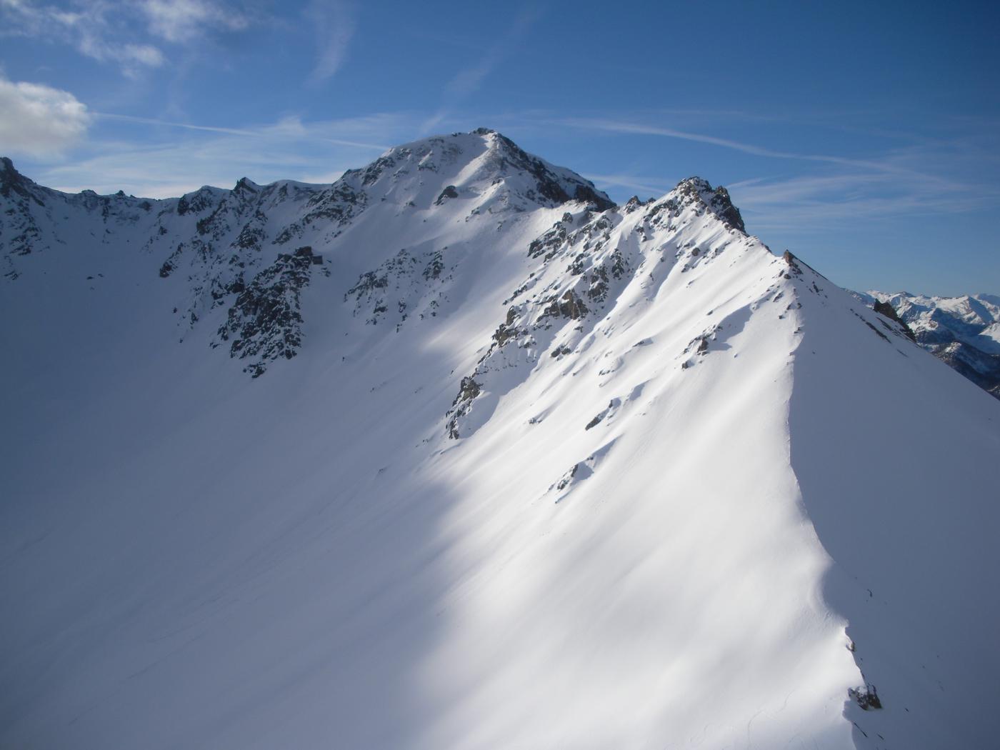
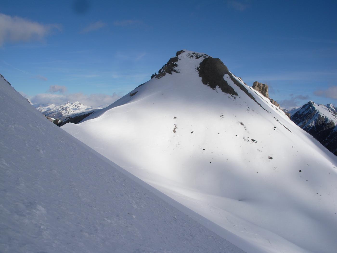
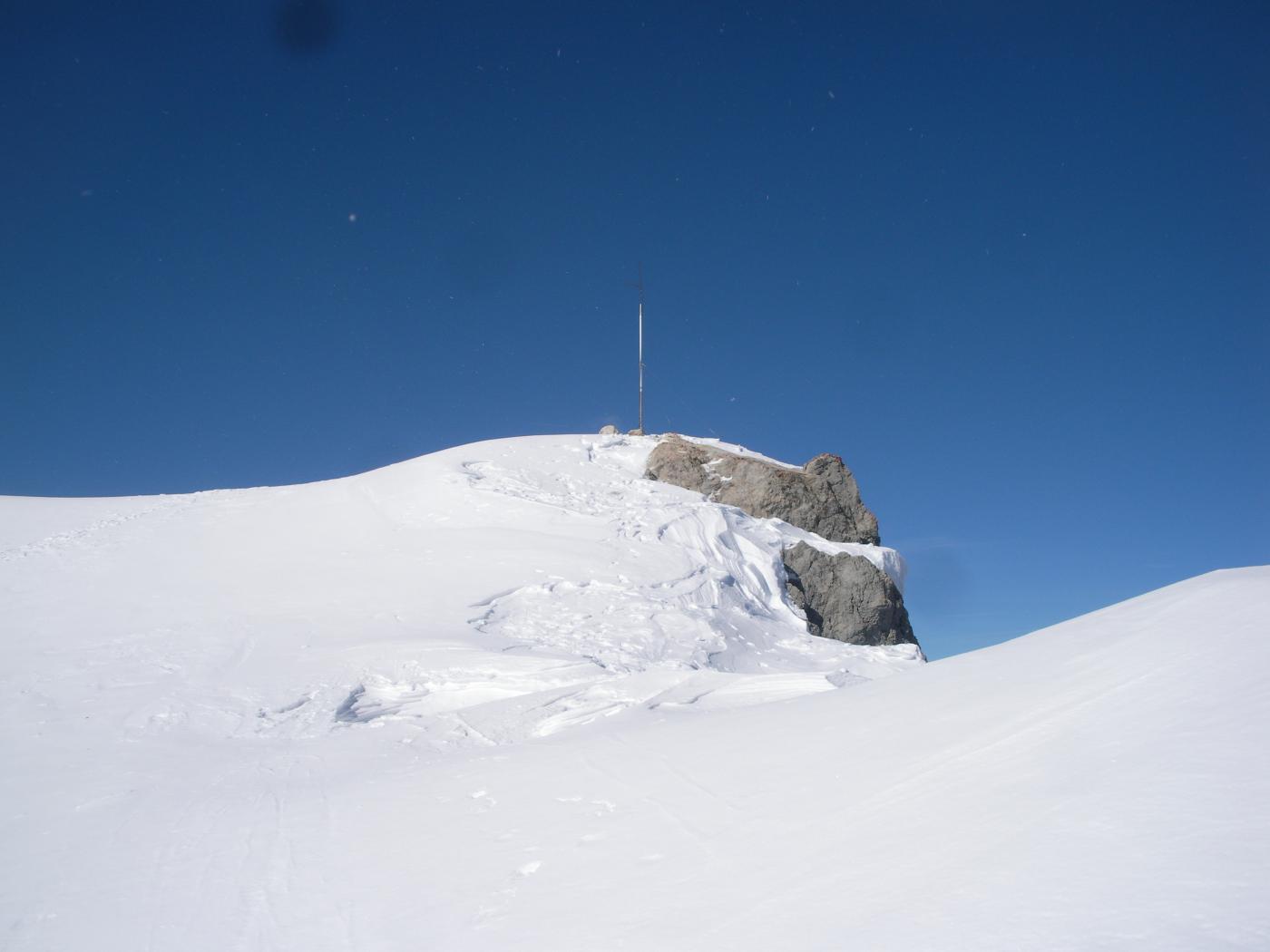
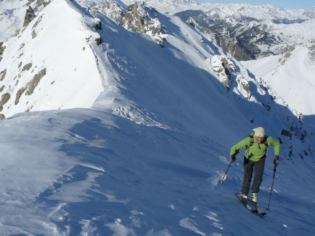
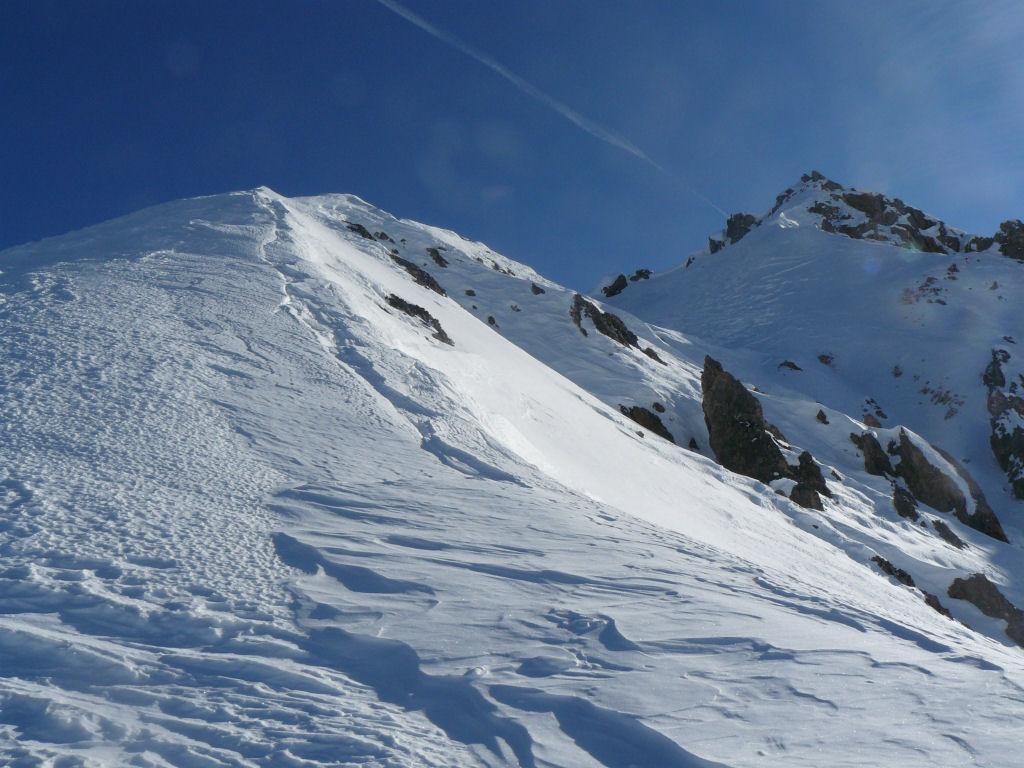
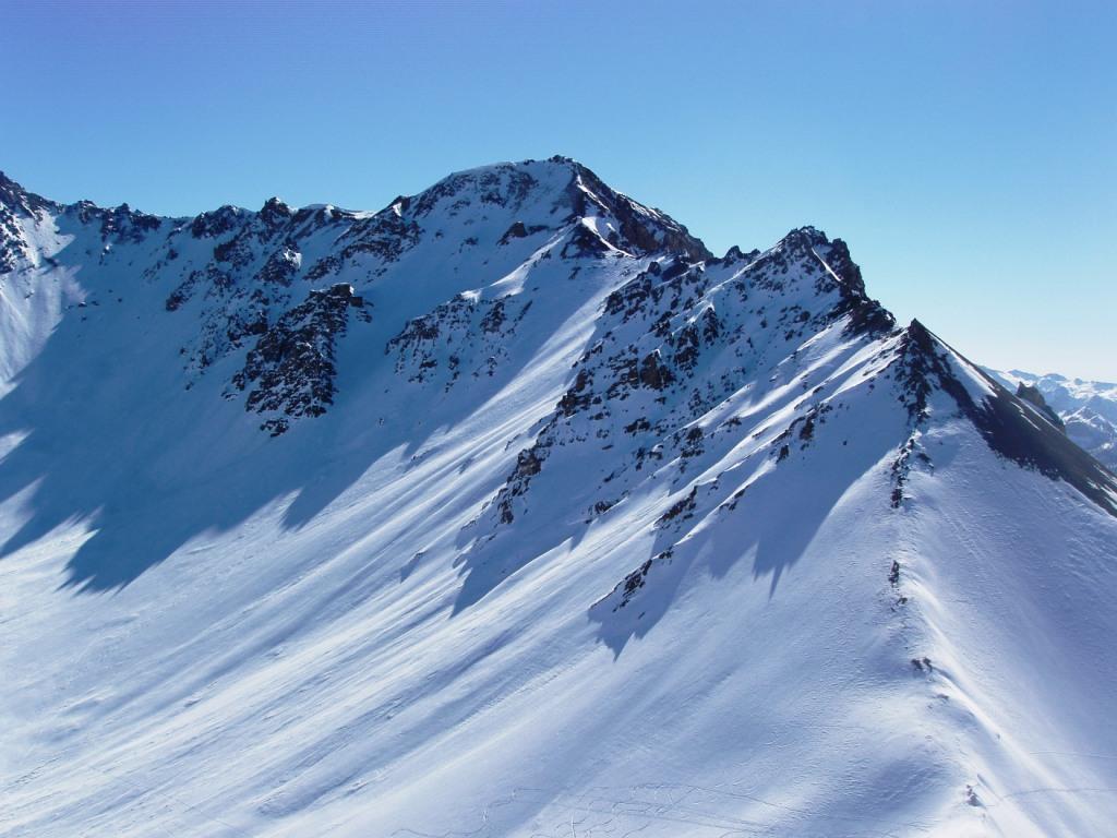
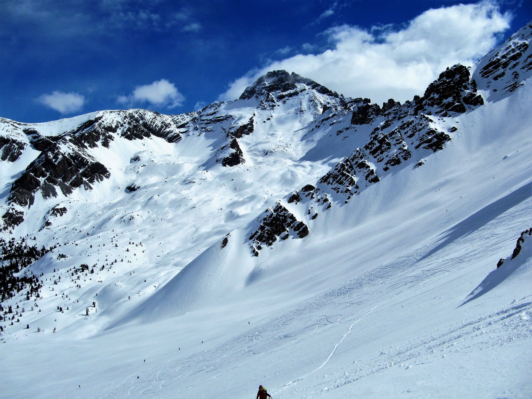
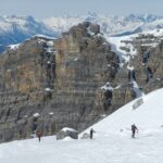
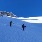
Arrivati al colle per il canale di destra come dice la relazione però poi bisogna premere a sinistra la cresta che si sale a seconda delle condizioni a piedi o con gli sci superando una prima elevazione e arrivando poi in cima che si raggiunge tagliando in traverso il pendio sotto la stessa, sbucando sulla spalla finale un po’ più a est per poi arrivare in cima facilmente.
- Bibliografia:
- L. Tassan QUEIRAS-Traynard
Ultima revisione 10/04/2026
Nelle vicinanze Mappa
Itinerari
27/02/2022 Hautes-Alpes, Cervières D+ 950 m BS Nord-Est
Roya (Col de la) da le Laus
 0m
0m
21/01/2023 Hautes-Alpes, Cervières D+ 1090 m BS Varie
Peygus (Col des) spalla quota 2835 m da le Laus
 0m
0m
12/03/2024 Hautes-Alpes, Cervières D+ 987 m BS Nord-Ovest
Clot la Cime da le Laus
 0m
0m
25/03/2024 Hautes-Alpes, Cervières D+ 1170 m BS Nord
Portes (Col des) da le Laus
 0m
0m
17/03/2025 Hautes-Alpes, Cervières D+ 650 m MS Nord
Izoard (Col d’) da le Laus
 0m
0m
04/04/2026 Hautes-Alpes, Cervières D+ 1600 m OSA, PD Nord-Ovest
Rochebrune (Pic de) Couloir NO
 0m
0m
01/03/2025 Hautes-Alpes, Cervières D+ 1135 m BS Sud-Ovest
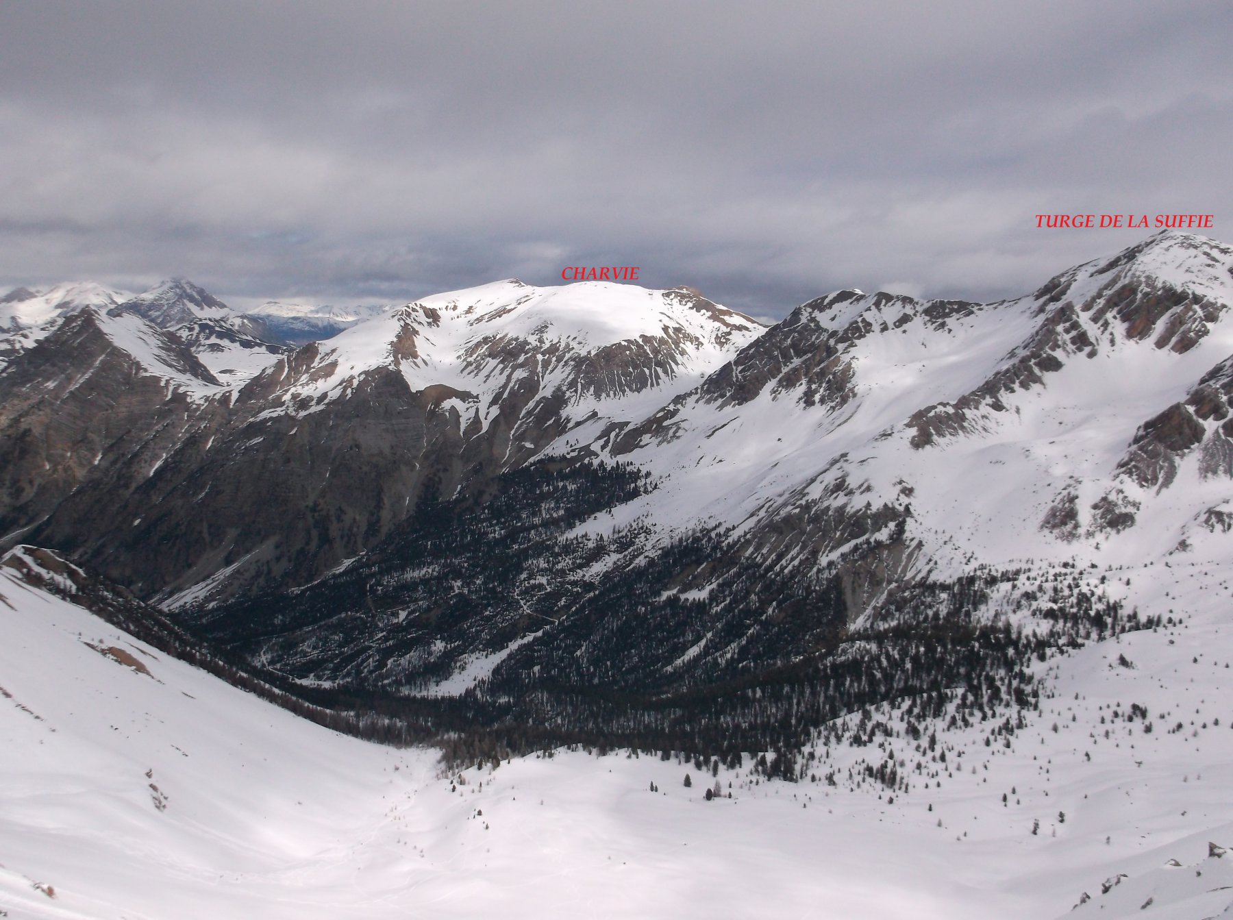
Charvie (Cime de la) cima SO da le Laus
 0m
0m
09/03/2026 Hautes-Alpes, Cervières D+ 867 m MS Sud
Peygus (Col des) da le Laus
 0m
0m
21/03/2026 Hautes-Alpes, Cervières D+ 1265 m BS Ovest
Turge de la Suffie da le Laus
 0m
0m
31/12/2018 Hautes-Alpes, Cervières D+ 917 m BSA Nord
Petit Peygu (le) da le Laus
 0m
0m