 3.7Km
3.7Km
Note
 50m
50m
50m
50m
3.3Km
3.7Km
3.9Km
5.3Km
7Km
9.8Km
50m
50m
50m
50m
3.3Km
3.7Km
3.9Km
5.3Km
7Km
9.8Km
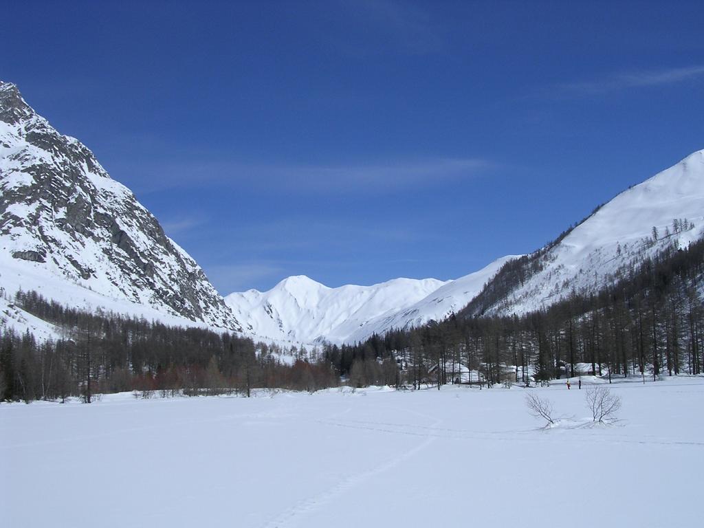
. La valle è ampia e si possono seguire vari itinerari sempre ampiamente già battuti. Dopo ca. 2 ore si arriva in località Lavachey dove ci sono due bar e dove ci si può rifocillare per poi ridiscendere seguendo vari tinerari, comunque sempre ben segnati. Adatto per una scampagnata anche con la famiglia.
Avvicinamento
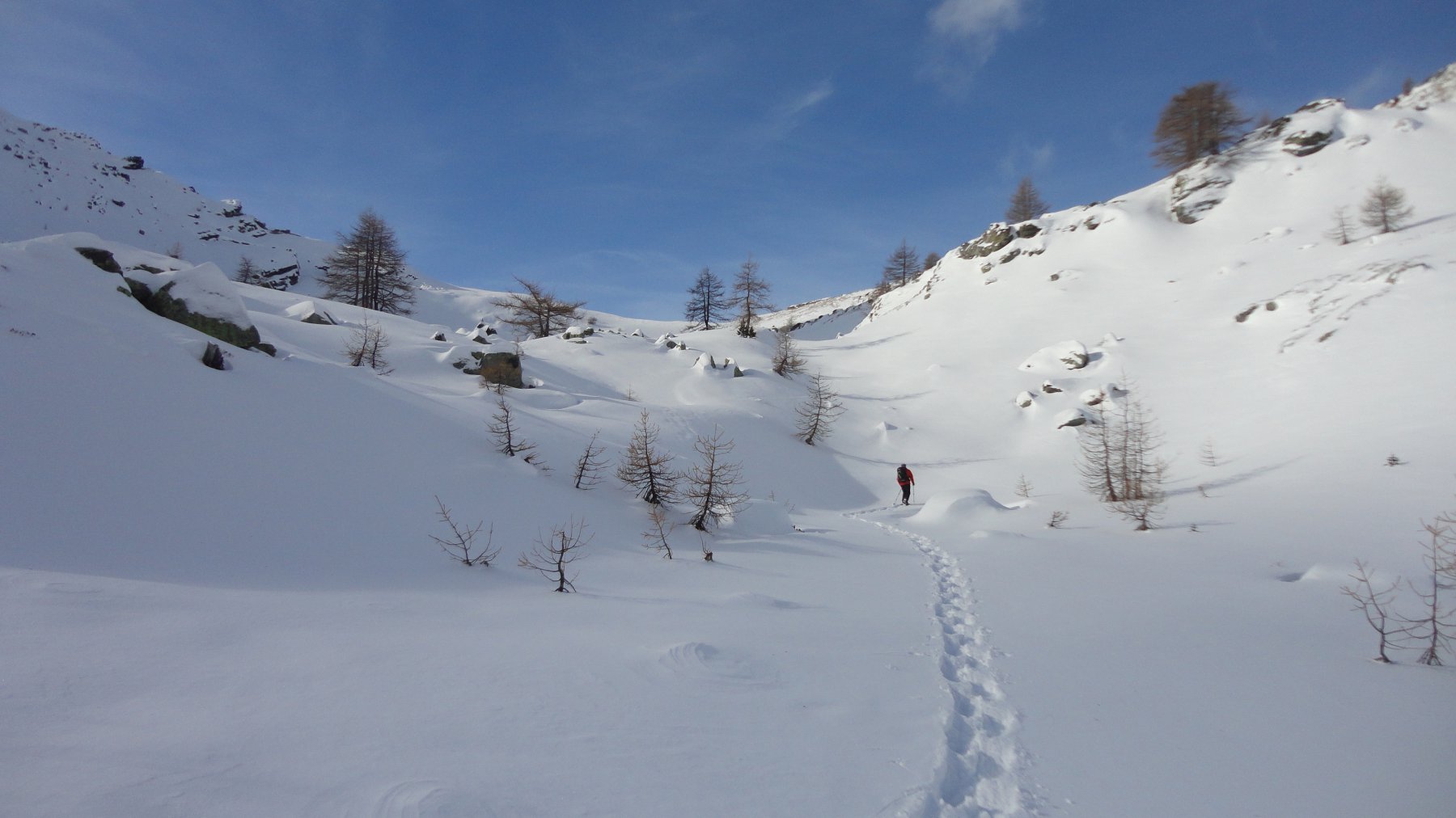
Parcheggiare l'auto al fondo della strada che da Courmayeur sale fino al fondo della Val Ferret in località Plampincieux. Di qui parte il tracciato da fare con le racchette
Descrizione
Parcheggiare l’auto al fondo della strada che da Courmayeur sale fino al fondo della Val Ferret in località Plampincieux. Di qui parte il tracciato da fare con le racchette. La valle è ampia e si possono seguire vari itinerari sempre ampiamente già battuti. Dopo ca. 2 ore si arriva in località Lavachey dove ci sono due bar e dove ci si può rifocillare per poi ridiscendere seguendo vari tinerari, comunque sempre ben segnati. Adatto per una scampagnata anche con la famiglia.
Nelle vicinanze Mappa
Itinerari
29/03/2026 AO, Courmayeur D+ 409 m MR Nord-Ovest
Bonatti Walter (Rifugio) da Planpincieux
 50m
50m
09/12/2016 AO, Courmayeur D+ 1457 m OR, F+ Sud-Ovest
Tsichette (Mont) e Mont de Rots da Planpincieux
 50m
50m
08/12/2016 AO, Courmayeur D+ 1136 m BR Varie
Entre Deux Sauts (Tète) da Planpincieux
 50m
50m
27/12/2023 AO, Courmayeur D+ 398 m MR Varie
Bertone Giorgio (Rifugio) da Planpincieux
 50m
50m
17/03/2014 AO, Courmayeur D+ 1250 m BR Varie
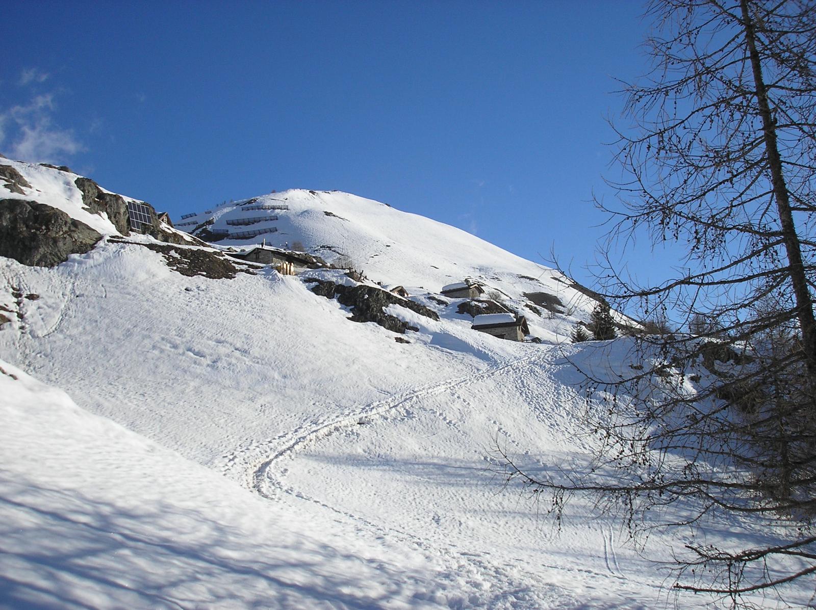
Tronche (Testa de la) da Villair superiore per Monti de la Saxe
 3.3Km
3.3Km
24/02/2026 AO, Courmayeur D+ 729 m MR Nord-Est
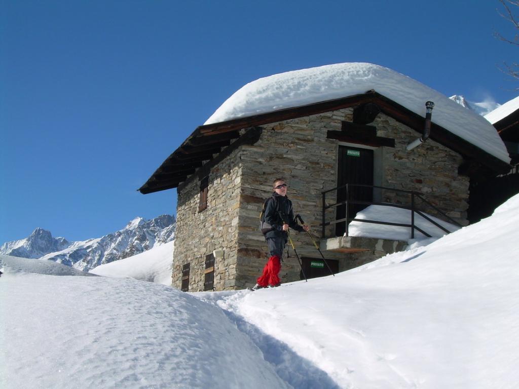
Bertone Giorgio (Rifugio) da La Saxe
 3.7Km
3.7Km
02/01/2012 AO, Courmayeur D+ 360 m MR Ovest
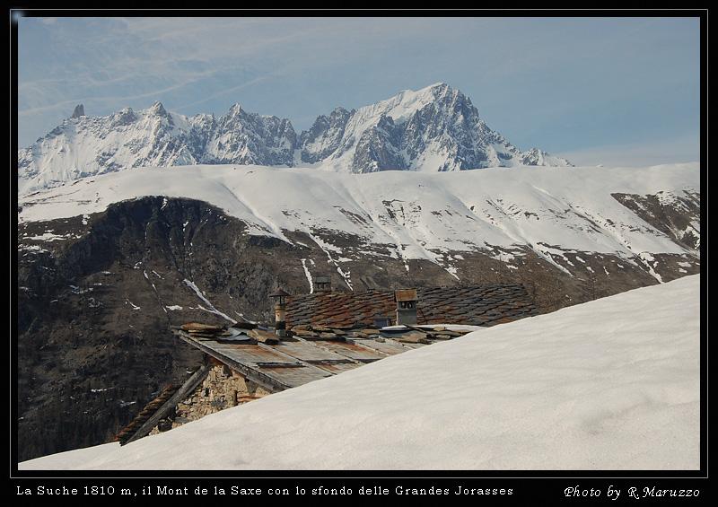
La Suche (Baite) da Courmayeur
 3.9Km
3.9Km
30/04/2017 AO, Courmayeur D+ 732 m MR Tutte
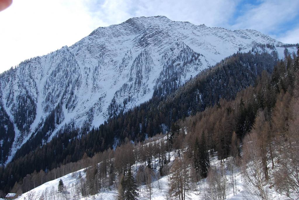
Checrouit (Colle) da Dolonne, anello
 5.3Km
5.3Km
10/02/2019 AO, Pré-Saint-Didier D+ 1108 m MR Est
Arp de Sorè o Arp Damon (Alpeggio) da Champex
 7Km
7Km
20/11/2016 AO, La Thuile D+ 508 m MR Sud-Est
Croce (Colle della) dal Colle San Carlo per il Lago d’Arpy
 9.8Km
9.8Km