1.3Km
1.3Km

Note
 2.8Km
2.8Km
2.8Km
2.8Km
2.8Km
6.1Km
6.6Km
8.6Km
8.6Km
10.8Km
2.8Km
2.8Km
2.8Km
2.8Km
2.8Km
6.1Km
6.6Km
8.6Km
8.6Km
10.8Km
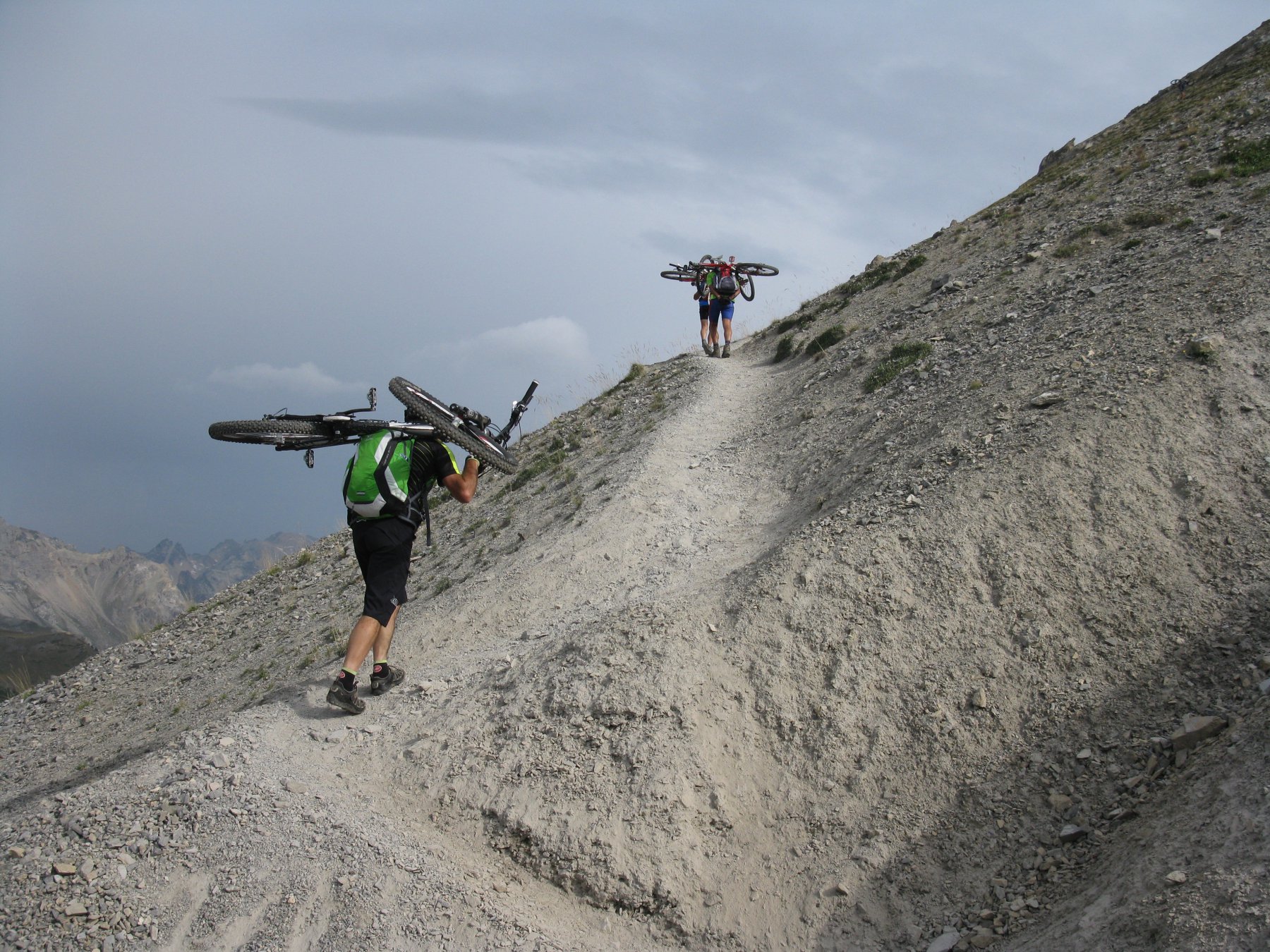
Giro grandioso per panorami e sentieri di discesa, discreto portage per raggiungere l'Aguille Rouge su traccia molto ripida mentre per il Col du Vallon si sale prima per prati e poi si intercetta una traccia di sentiero su pietraia.
Avvicinamento
Si raggiunge Nevache da Bardonecchia per il Colle della Scala, oppure da Cesana per il Colle del Monginevro, quindi si scende verso Briançon per poi deviare a destra a la Vachette, risalendo la Val de la Clarée fino a Nevache.
Descrizione
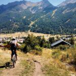
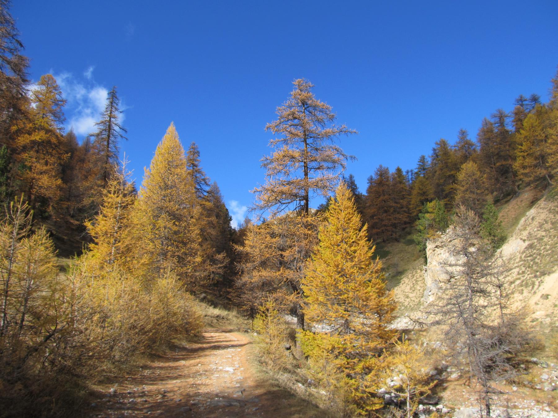
Da Nevache si torna indietro brevemente sino alla frazione Roubion, dove si procede verso nord entrando nell’abitato, proseguiamo seguendo la strada che diventa prima sterrata e poi, raggiunto lo Chalet Forestier (1738m), sentiero a tratti ciclabile. Si prosegue sempre su questo sentiero (G.R. 5 – G.R. 57) senza possibilità di errore arrivando sul pianoro proprio sotto alla nostra cima.
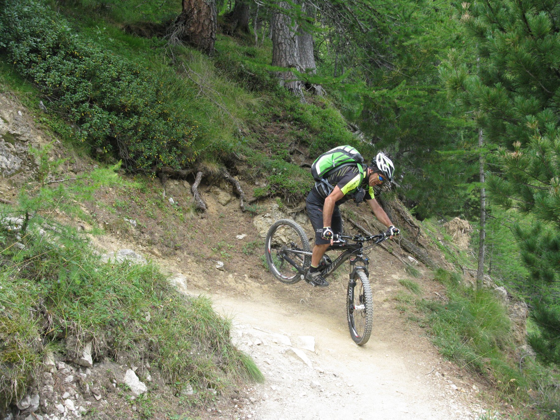
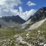
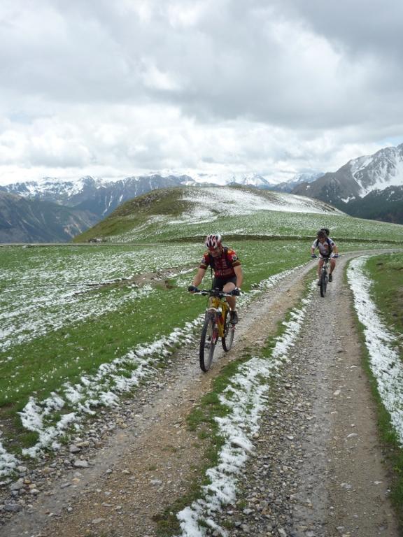
Per non fare più strada possiamo intraprendere la salita dritto avanti a noi dove parte una traccia dapprima ciclabile poi molto ripida su terreno scivoloso che tagliando il sentiero originale ci fa guadagnare quota molto velocemente raggiungendo poi la cima dell’Aguille Rouge (2545m) in circa un’ora. Per la discesa conviene seguire il sentiero originale che con alcuni lunghi traversi (sempre ciclabile) ci conduce nuovamente al pianoro. Ora puntiamo al Col des Thures e all’omonimo lago dal quale parte il bellissimo sentiero che, con buon scorrimento e discreto impegno, ci conduce al Rif. 3 Alpini in Valle Stretta.
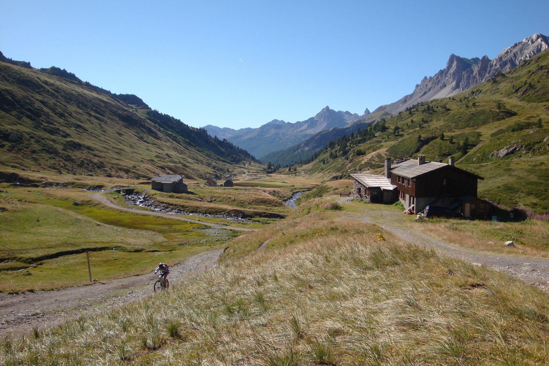
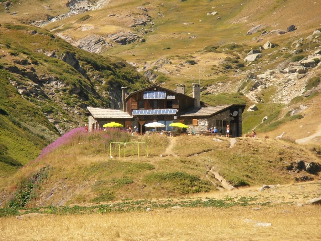
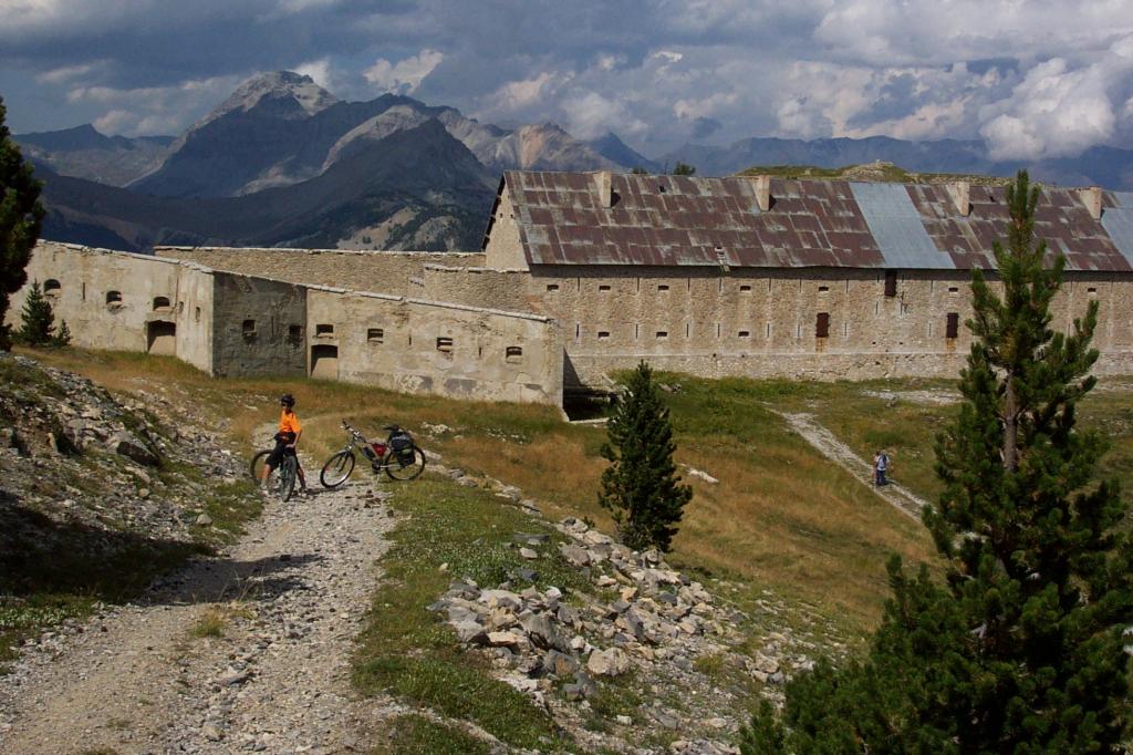
Da qui proseguiamo dritti su strada sterrata arrivando al Rif. Re Magi. Dal rifugio prendiamo il sentiero alla nostra sinistra per il Plan de la Fonderie, giungendo nei pressi di esso dovremmo individuare una strada che sale a sinistra per la Colonia Alpina e Miniere del Banchet, punto in cui parte il sentiero per il Col du Vallon (G.R. 57A). Noi non avendo trovato il bivio abbiamo tagliato direttamente per prati vedendo sull’altro lato del vallone il sentiero per il Colle.
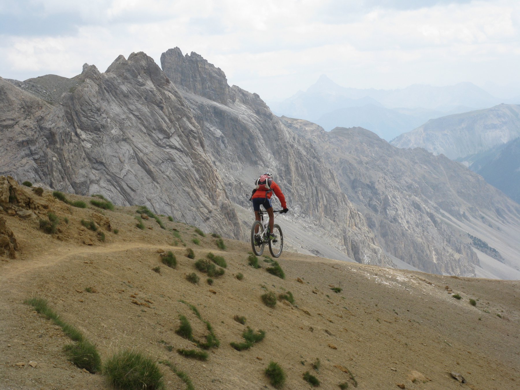
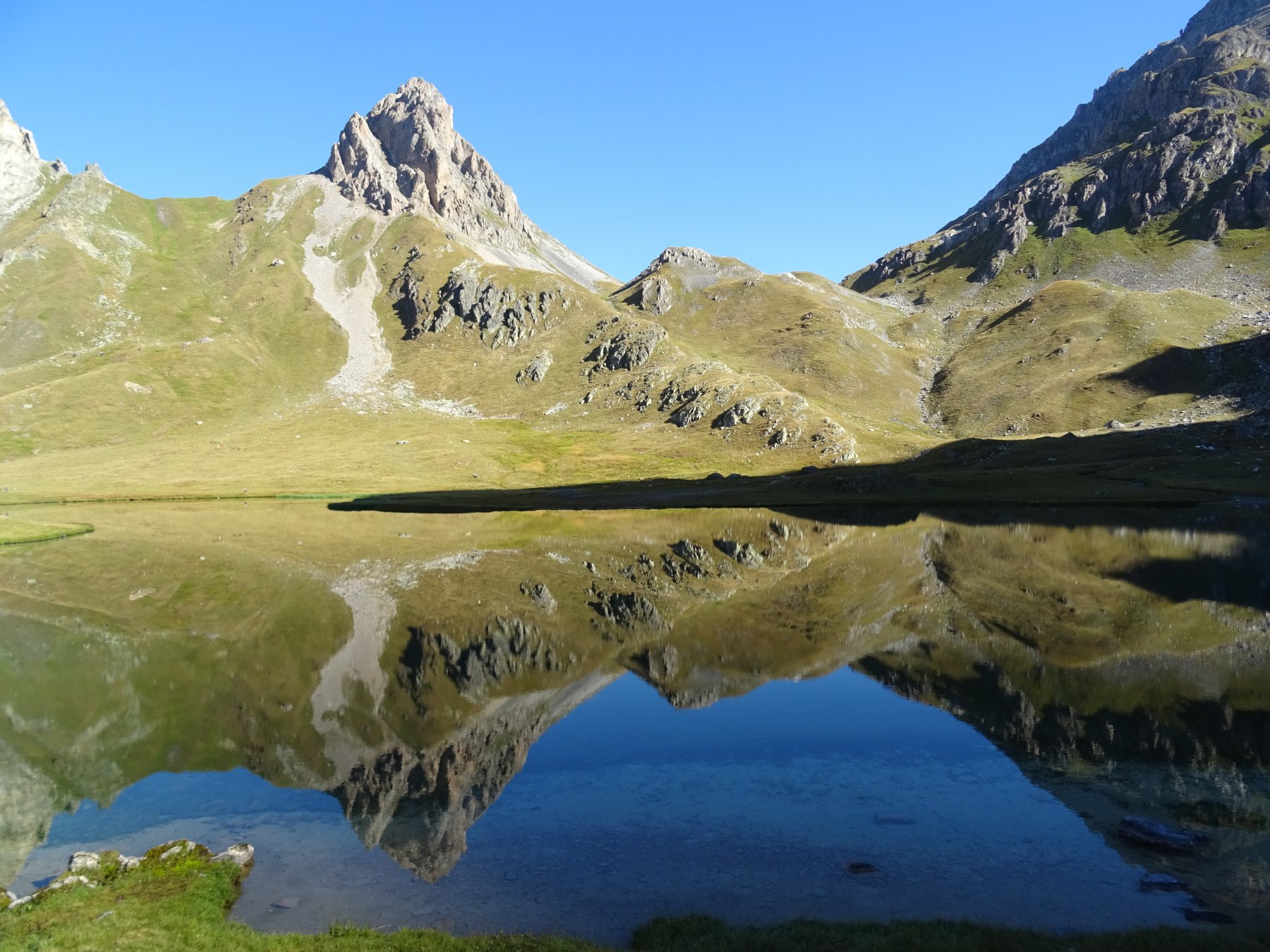
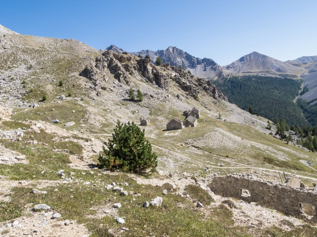
Lo raggiungiamo senza possibilità di errore (2645m) scollinando poi dall’altro versante dove ci aspetta una lunga discesa. Passiamo affianco ad un laghetto dal colore tipico celeste, poi troviamo la Cappella Alpina dedicata a St. Michel e infine le bergerie del Ch.ets du Serre. Oramai siamo a pochi metri dall’asfalto, che raggiungiamo direttamente con una rampa ripida in discesa (prestare attenzione al sopraggiungere di veicoli) e che ci riporterà dapprima a Nevache.
- Cartografia:
- IGC 104 Bardonecchia Monte Thabor Sauze d'Oulx (1-25000) con sci alpinismo
Nelle vicinanze Mappa
Itinerari
17/09/2023 Hautes-Alpes, Névache D+ 763 m BC+, BC+, S2 Sud
Laramon (Lac) e Chemin de Ronde da Nevache
 2.8Km
2.8Km
22/08/2016 Hautes-Alpes, Névache D+ 4150 m BC+, OC, S3 Tutte
Thabor (Monte) da Névache, giro (2 gg)
 2.8Km
2.8Km
11/06/2022 Hautes-Alpes, Névache D+ 1600 m OC, BC+ Tutte
Cerces, Ponsonnièere, Chardonnet (Colli) da Nevache, giro
 2.8Km
2.8Km
11/08/2023 Hautes-Alpes, Névache D+ 1781 m BC, OC, S2 Varie
Grand Aréa da Nevache, giro per il Col du Granon
 2.8Km
2.8Km
09/10/2021 Hautes-Alpes, Névache D+ 637 m MC+, MC, S1 Sud
Drayères (Refuge des) da Nevache
 2.8Km
2.8Km
12/07/2025 TO, Bardonecchia D+ 2100 m BC+, BC, S2 Varie
Vallon (Col du) da Pian del Colle, giro per Névache e Colle di Thures
 6.1Km
6.1Km
08/11/2015 Hautes-Alpes, Saint-Chaffrey D+ 430 m BC, OC, S2 Sud
Lenlon (Fort de) e Fort de l’Olive dal Col du Granon
 6.6Km
6.6Km
15/06/2025 Hautes-Alpes, Val-des-Prés D+ 1300 m MC+, BC, S3 Tutte
Buffère (Col de) da Val des Pres, giro per il Col du Granon e Nevache
 8.6Km
8.6Km
17/10/2020 Hautes-Alpes, Val-des-Prés D+ 1100 m BC, OC, S2 Sud-Ovest
Lenlon (Fort de) da Val des Prés, giro per il Fort de l’Olive
 8.6Km
8.6Km
23/07/2025 TO, Bardonecchia D+ 1150 m BC, BC, S1 Varie
Mulattiera (Passo della) da Bardonecchia, giro per Punta Colomion e Col des Acles
 10.8Km