100m
100m

Note
 50m
50m
400m
7.1Km
10.4Km
10.5Km
10.5Km
50m
50m
400m
7.1Km
10.4Km
10.5Km
10.5Km
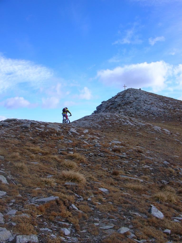
Giro dedicato ai ciclo-sci-alpinisti decisamente + impegnativo in bici se si vuole partire dalla croce come con gli sci .
Se si esclude una parte del traverso dopo la Bassa di Narbona anche il resto della discesa é quasi tutto ciclabile e spettacolare.
Questo bellissimo giro è solo una variante del Giro del Tibert di G. Bottalo che ne fa la solita accurata relazione su MTB in Piemonte
Avvicinamento
Se si esclude una parte del traverso dopo la Bassa di Narbona anche il resto della discesa é quasi tutto ciclabile e spettacolare.
Questo bellissimo giro è solo una variante del Giro del Tibert di G. Bottalo che ne fa la solita accurata relazione su MTB in Piemonte
.
Descrizione
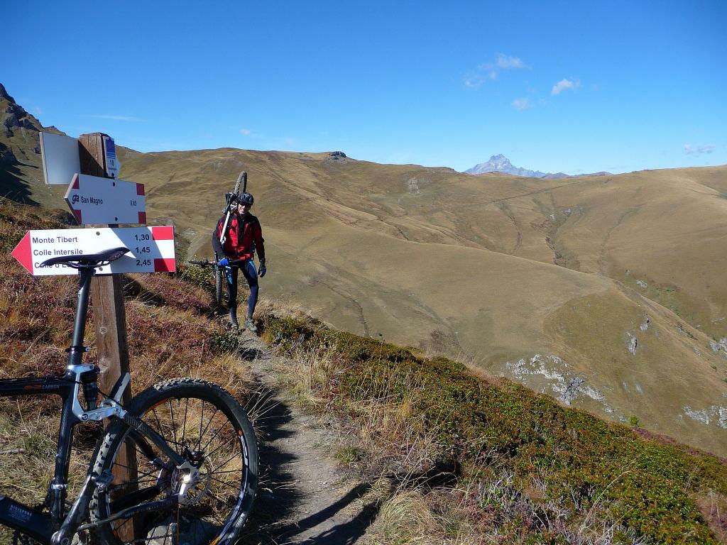
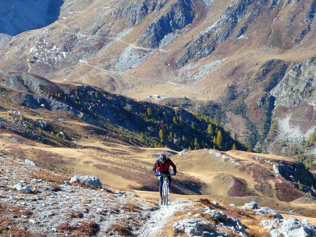
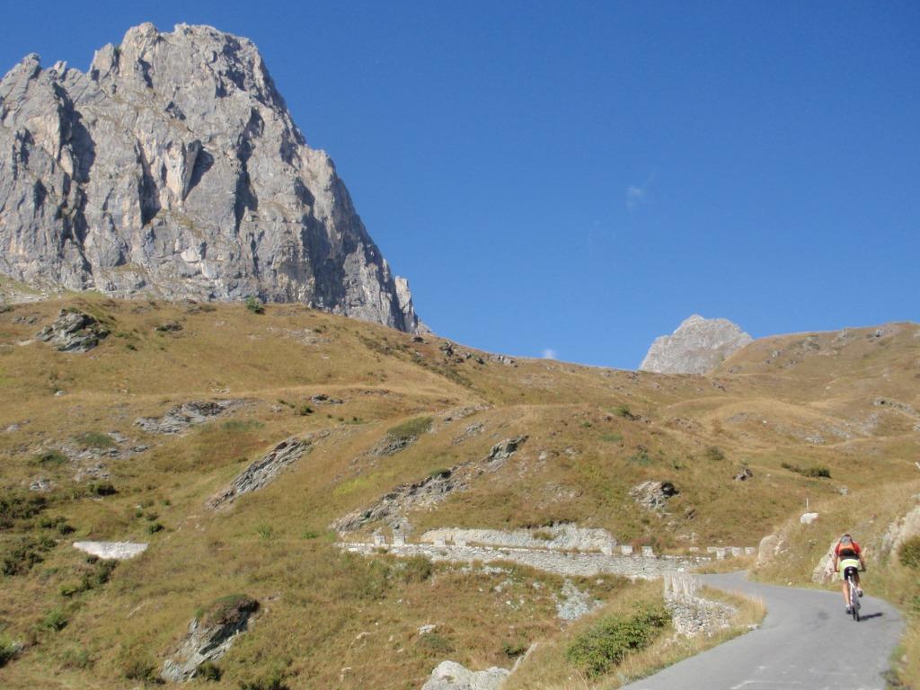
Partenza dal Santuario di San Magno 1761 si sale su asfalto x 7,5 km fino al colle d’Esischie 2370 qui abbandoniamo l’ asfalto x un bel sentiero sulla dx al primo bivio ancora a dx percorriamo il vallone a mezza costa sempre su sentiero e raggiungiamo la dorsale sulla sx che ci porta al Colle Sibolet 2562 m .
bici a fianco lungo la dorsale raggiungiamo Punta Tempesta 2679 m. Discesa sui nostri passi sino al C. Sibolet dove prendiamo il sentiero x il Colle Intersile 2416 m.
Seguiamo il sentiero a sx e raggiungiamo l’Alpeggio del Tibert 2174 m da dove la strada silvo-pastorale ci porta tenendo la dx alla dorsale della Bassa di Narbona 2230 m.
Ora seguiamo il GTA x punta Crosetta 2194 sotto di noi la discesa fiale sul Santuario.
Nelle vicinanze Mappa
Itinerari
27/08/2016 CN, Castelmagno D+ 1800 m MC+, BC, S2 Tutte
Gardetta, Mulo, Ancoccia, Preit, Bandia, Valcavera (Colli) dal Santuario di San Magno, giro
 50m
50m
25/10/2023 CN, Castelmagno D+ 1000 m BC, BC+, S2 Varie
Intersile (Colle) dal Santuario di San Magno, giro del Monte Tibert per la Bassa di Narbona e Monte Crosetta
 50m
50m
26/07/2014 CN, Castelmagno D+ 800 m OC, OC, S2 Nord
Viridio (Monte) da Chiappi per la Curnis Auta
 400m
400m
14/10/2006 CN, Demonte D+ 1200 m BC+, BC+, S3 Tutte
Borel (Monte) da San Giacomo, giro
 7.1Km
7.1Km
22/07/2007 CN, Demonte D+ 850 m MC, MC Varie
Gardon (Testa) da San Giacomo
7.1Km
15/10/2023 CN, Demonte D+ 950 m BC, OC, S2 Varie
Gardon (Testa) da Trinità, anello
 10.4Km
28/10/2023 CN, Vinadio D+ 1300 m BC, BC+, S3 Varie
Autes (Monte) e Varirosa da Vinadio, giro per il Colle Neirassa
 10.5Km
29/07/2011 CN, Vinadio D+ 2850 m OC, OC, S3 Tutte
Ischiator (Passo dell’) da Vinadio, giro per Laghi Rabuons e Vens, Col del Fer
 10.5Km
23/05/2020 CN, Vinadio D+ 1000 m MC+, MC, S1 Nord
Malinvern – Città di Ceva (Rifugio) da Vinadio per il Vallone di Rio Freddo
10.5Km
27/10/2017 CN, Vinadio D+ 1560 m BC+, OC, S2 Nord
Tesina (Passo di) da Vinadio, giro per Sant’Anna e Bagni di Vinadio
10.5Km