6Km
6Km

Avvicinamento
 5.4Km
5.4Km
5.4Km
5.4Km
5.4Km
5.6Km
5.6Km
5.4Km
5.4Km
5.4Km
5.4Km
5.4Km
5.6Km
5.6Km
.
Descrizione
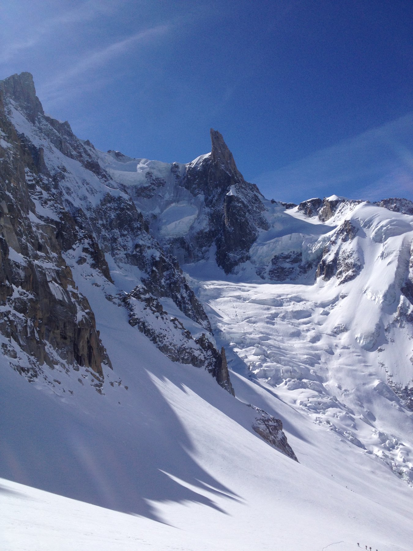
Dal rifugio Torino Nuovo scendere in direzione della Vierge (rognone roccioso a destra del col du Flambeau) e affrontare la discesa della “Val Noire” in direzione della cresta rocciosa di fronte a l rifugio Requin, mantenersi alti e fermarsi pochi metri sopra la salle a manger; mettere le pelli e risalire il ghiacciaio delle Periades fino a quota 2900 circa, deviare a sinistra puntando al canale che porta al colletto a destra dell’Aiguille du Tacul.
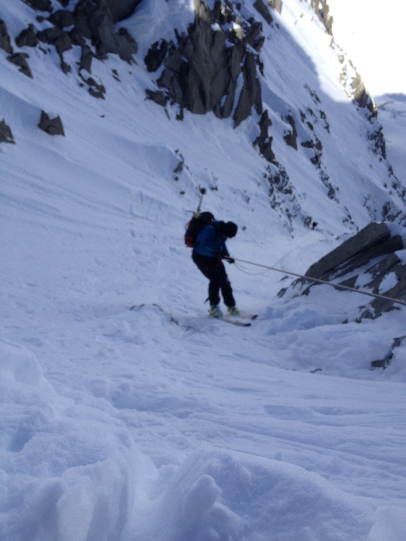
Giunti al colle si scendono i primi 50-60m con 1-2 doppie per evitare le numerose rocce affioranti, da qui (scomoda piazzola) scendere il canale, 100m a 50° poi 400m a 40-45° fino alla terminale (facile salto), poi conoide canale fino al ghiacciaio del Lescheaux; di qui ricongiungersi all’itinerario classico della mer de glace.
Nelle vicinanze Mappa
Itinerari
17/02/2025 AO, Courmayeur D+ 2500 m III, 4.2, E2 Sud
Brenva (Ghiacciaio della)
 5.4Km
5.4Km
13/03/2021 AO, Courmayeur D+ 100 m II, 4.1, E2 Sud
Entreves (Colle d’) Versante Sud
5.4Km
15/12/2024 AO, Courmayeur D+ 280 m I, 4.2, E3 Sud-Est
Entrèves (Aiguille d’) da Punta Helbronner
 5.4Km
5.4Km
10/01/2012 AO, Courmayeur D+ 220 m I, 3.1, E2 Sud-Ovest
Helbronner (Punta) Canale dell’Hangar
5.4Km
27/02/2014 AO, Courmayeur D+ 450 m III, 4.3, E2 Sud-Ovest
Helbronner (Punta) Couloir della Passerella
 5.4Km
5.4Km
15/01/2012 AO, Courmayeur D+ 600 m II, 5.1, E3 Sud-Est
Dente del Gigante (Gengiva) Pendio Sud Est
 5.4Km
5.4Km
07/02/2012 AO, Courmayeur I, 4.2, E2 Sud
Helbronner (Punta) canali
5.4Km
04/04/2022 Haute-Savoie, Chamonix-Mont-Blanc D+ 184 m III, 4.3, E2 Nord-Ovest
Toules (Aiguilles des) Scivolo Nord
 5.4Km
5.4Km
09/04/2012 Haute-Savoie, Chamonix-Mont-Blanc D+ 1900 m 4.2, E2 Sud
Droites (Col des) Face Sud
 5.6Km
5.6Km
03/03/2013 Haute-Savoie, Chamonix-Mont-Blanc D+ 670 m II, 5.3, E3 Sud
Verte (Aiguille) Couloir Whymper
 5.6Km
5.6Km