150m
150m
Avvicinamento
 5.2Km
6.7Km
7.6Km
7.6Km
7.6Km
8.7Km
8.7Km
8.7Km
9Km
5.2Km
6.7Km
7.6Km
7.6Km
7.6Km
8.7Km
8.7Km
8.7Km
9Km
.
Descrizione
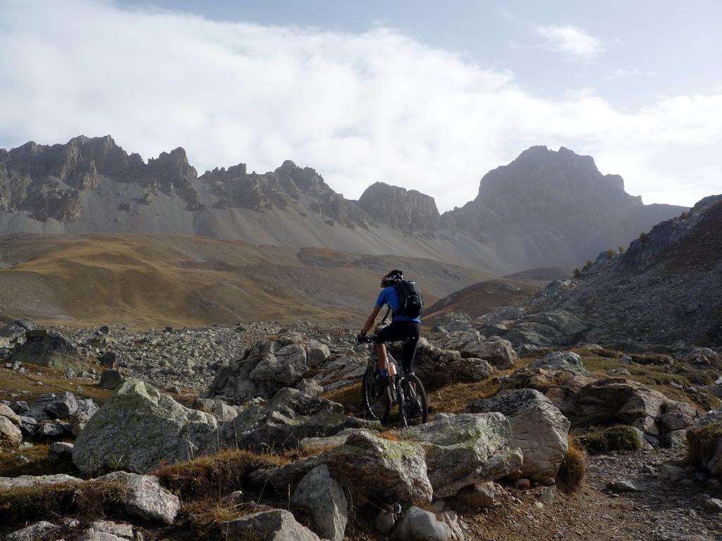
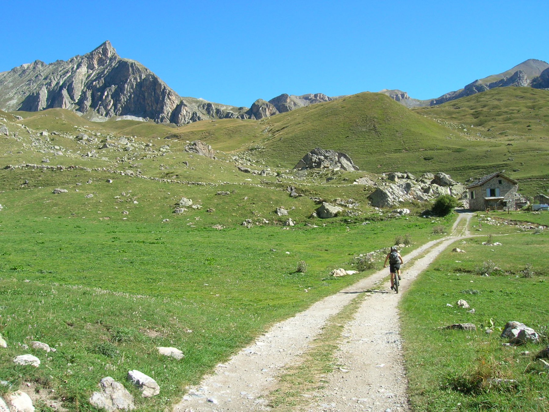
Da le Pontet, presso il Colle della Maddalena, si percorre la destra orografica dell’ampio vallone dell’Oronaye su sentiero di destra, tralasciando la larga sterrata che conduce nel Vallone Rèmy.
Il sentiero inizialmente sale ripido è il fondo è sconnesso, dopo alcuni tornanti si supera una piccola capanna e si entra in un ampia e pianeggiante conca.
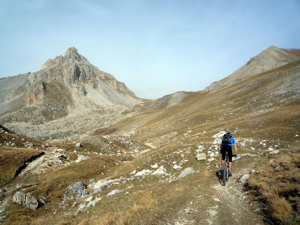
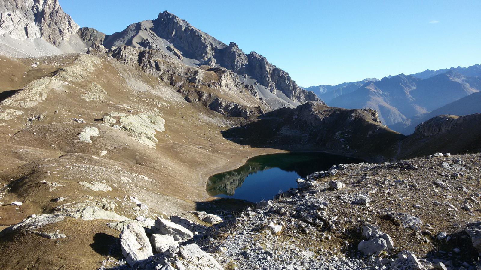
Si tralascia l’evidente sentiero di destra che conduce al colle di Roburent e si continua a sinistra tagliando pendii erbosi per un stretto sentiero che fiancheggia il Bec du Lièvre in direzione del Colle de la Gypière de l’Oronaye.
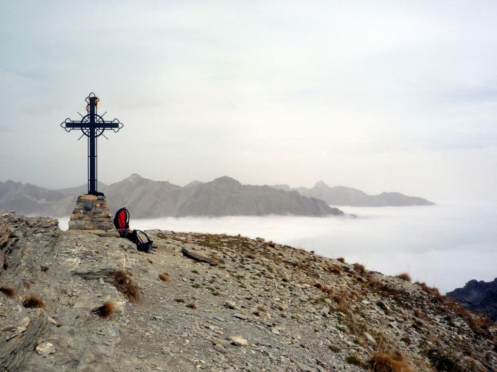
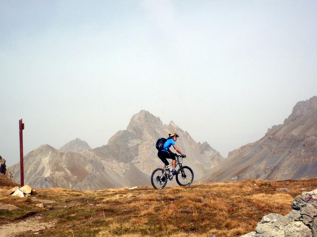
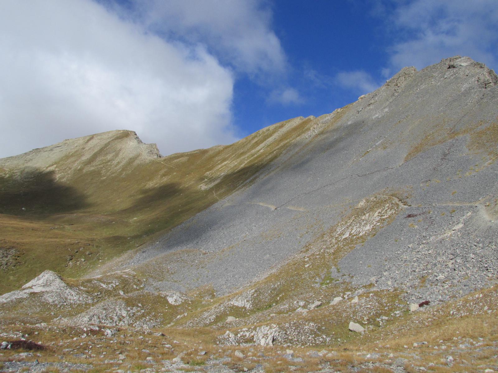
Raggiunto il colle (2482 mt) seguire a destra il single-track che, in lieve discesa, taglia a mezzacosta le pendici della cima delle Manse e, dopo una brevissima risalita, si giunge al Colle delle Munie (2531 mt).
Da qui, evitare la deviazione a destra (discesa verso il bivacco Bonelli) ma mantenere il sentiero su crinale erboso che, inizialmente pianeggiante, conduce in seguito con una lieve discesa al Passo della Cavalla (2539 mt).
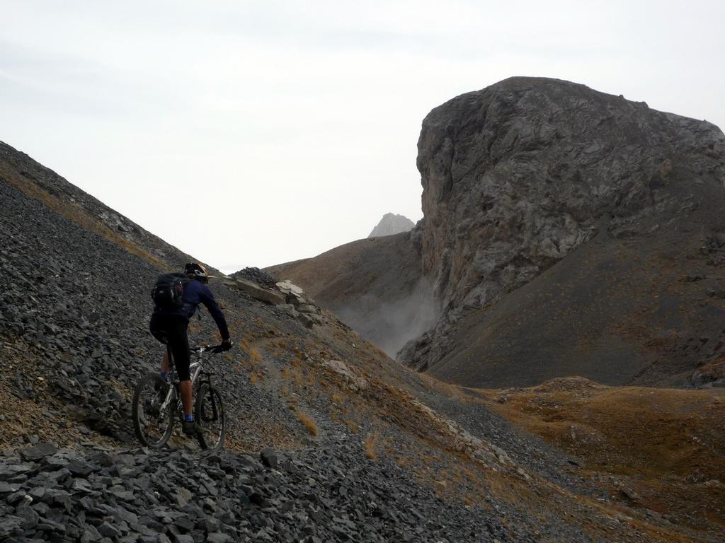
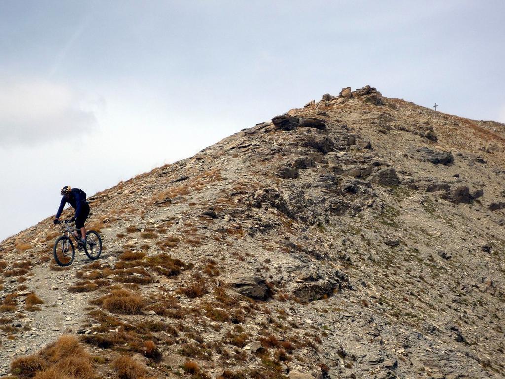
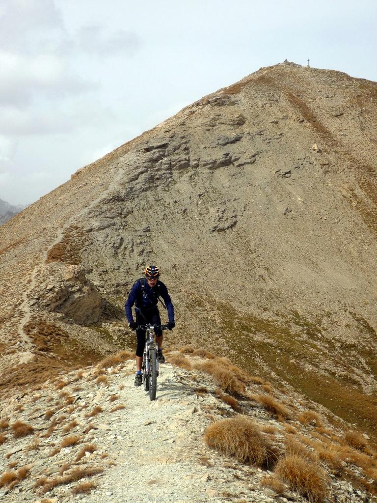
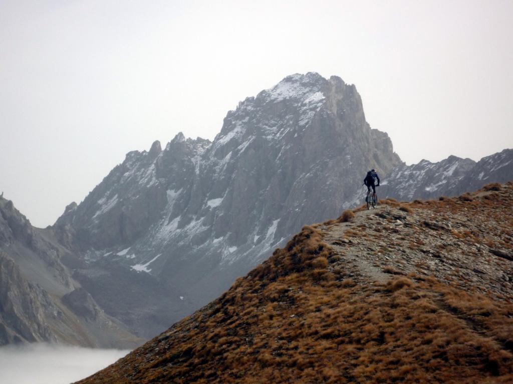
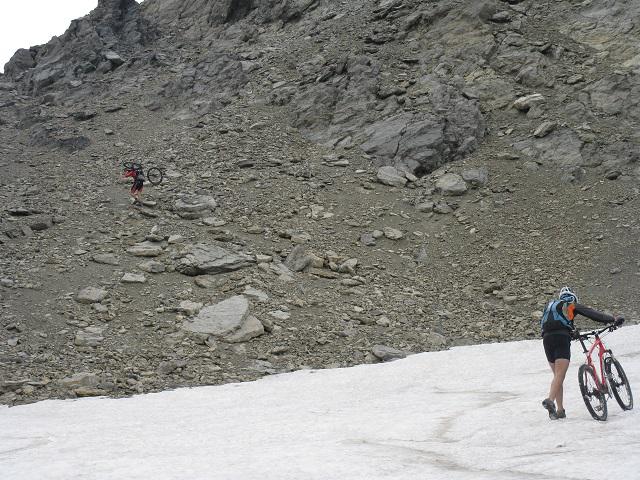
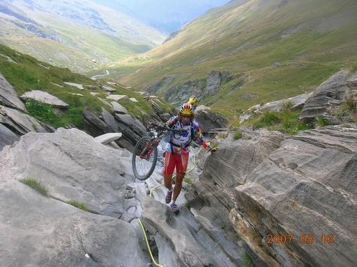
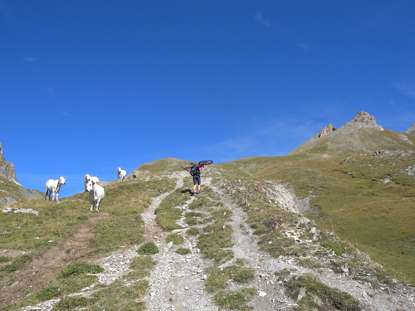
Si ritorna indietro per pochi metri sul sentiero ghiaioso fino ad imboccare una traccia sulla destra, e in salita, con bici in salla, si raggiunge la cima del Monte Soubeyran (2697 mt).
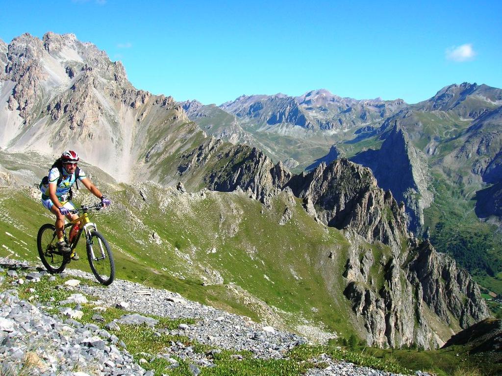
Dalla cima scendere lungo l’evidente ripido ed esposto crinale proseguendo in direzione del Colle delle Munie.
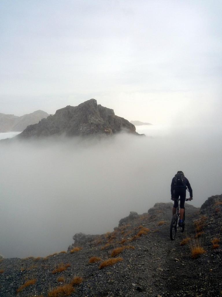
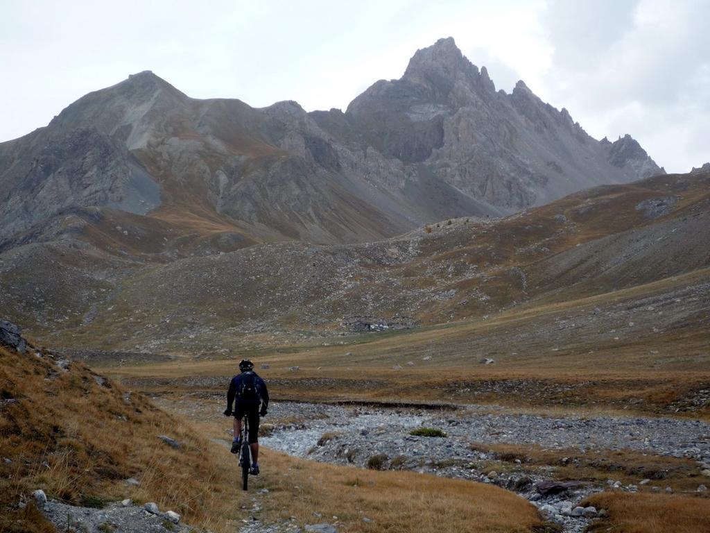
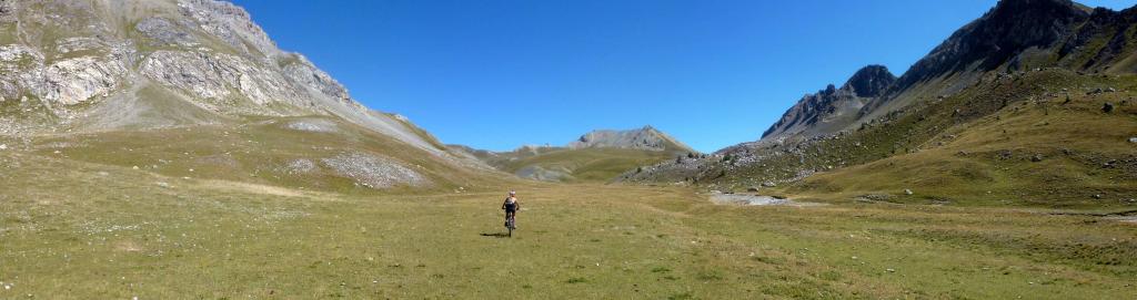
Ritornati al Colle si prosegue la discesa nel versante francese entrando nel vallone della Montagnette.
Si attraversano ampi prati su un single track agevole e dal fondo compatto fino al termine del vallone dove il sentiero diventa ghiaioso e più sconnesso.
Su larga sterrata si raggiunge Larche, e poi su asfalto fino al punto di partenza.
Nelle vicinanze Mappa
Itinerari
18/10/2025 CN, Bersezio/Argentera D+ 1250 m BC+, BC+, S2 Varie
Oronaye e Roburent (Laghi) da Argentera, giro
 5.2Km
5.2Km
19/06/2021 Alpes-de-Haute-Provence, Val-d'Oronaye D+ 1150 m BC+, BC+, S2 Sud
Dure (Tete) da Larche, giro per Fort Mallemort, Col Monges, Col de la Gypiere
 6.7Km
6.7Km
19/09/2021 CN, Acceglio D+ 1850 m BC, OC, S3 Tutte
Sautron, Portiola (Colli) da Saretto, giro per il Rifugio Stroppia
 7.6Km
7.6Km
07/08/2017 CN, Acceglio D+ 1280 m BC+, OC+, S3 Varie
Soubeyran (Monte) o Tete de l’Alp da Saretto, giro per i Passi della Cavalla e Munie e Lago Visaisa
 7.6Km
7.6Km
15/07/2024 CN, Acceglio D+ 1400 m OC, BC+, S3 Varie
Viraysse (Monte) da Saretto anello per i colli della Cavalla, Munie, Sautron
7.6Km
05/07/2015 CN, Acceglio D+ 3250 m OC, OC, S2 Tutte
Sautron, Portiolette, Vallonet, Maurin (Colli) da Saretto, giro (2 gg)
 7.6Km
7.6Km
16/08/2007 CN, Acceglio D+ 1955 m OC, TC, S2 Varie
Maurin, Longet (Colli) da Chiappera, giro per Maljasset e Pontechianale
 8.7Km
8.7Km
06/08/2023 CN, Acceglio D+ 1680 m BC+, OC, S3 Varie
Maniglia (Monte) da Chiappera
 8.7Km
8.7Km
25/08/2015 CN, Acceglio D+ 2120 m OC, BC, S2 Tutte
Maurin, Autaret, Bellino (Colli) da Chiappera, giro del Monte Maniglia
 8.7Km
8.7Km
28/08/2011 CN, Bersezio/Argentera D+ 1538 m BC, OC, S3 Tutte
Viraysse (Tete de) anello da Bersezio per i colli della Maddalena e de la Gipiere d’Oronaye
 9Km
9Km