 4.4Km
4.4Km
Note
 50m
50m
50m
50m
1.6Km
1.6Km
1.6Km
1.6Km
1.6Km
1.7Km
50m
50m
50m
50m
1.6Km
1.6Km
1.6Km
1.6Km
1.6Km
1.7Km
4.4Km
 4.5Km
4.5Km
4.6Km
6.1Km
6.7Km
7.3Km
7.3Km
7.4Km
7.4Km
7.4Km
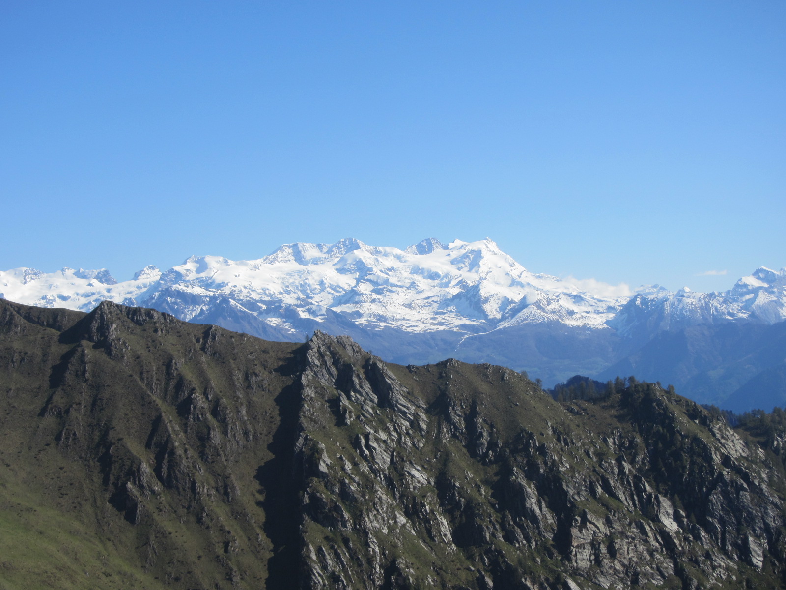
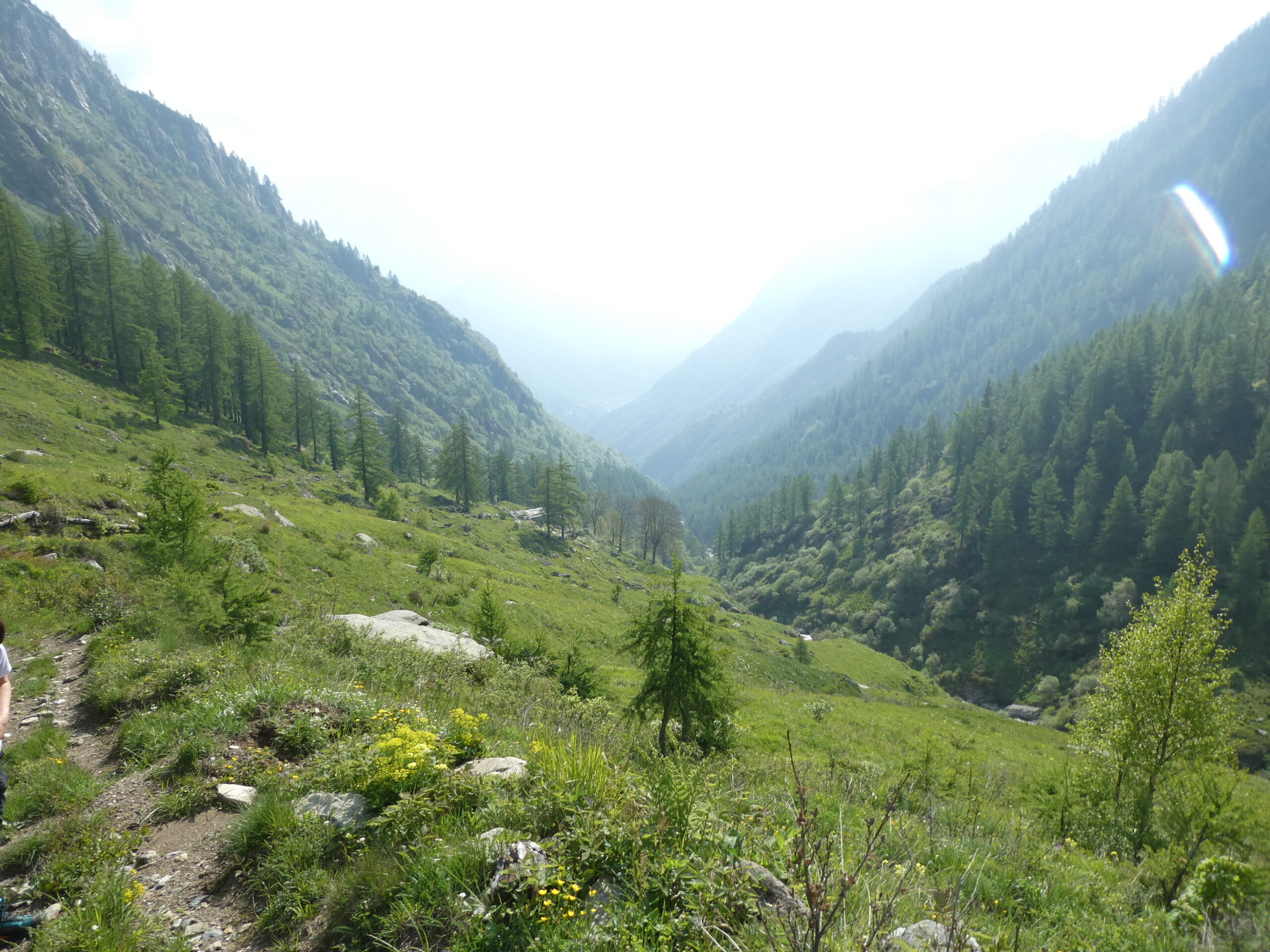
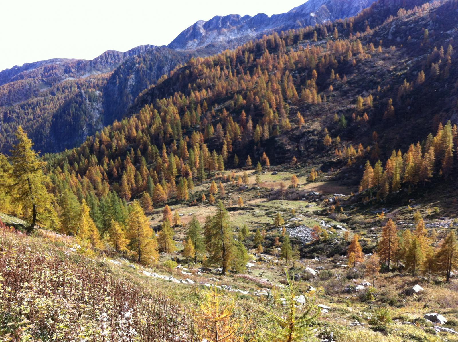
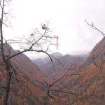
L'itinerario si snoda lungo la valle della Manda, all'inizio lungo una bella mulattiera a tratti a gradini, poi su sentiero ben segnato fino al LAc Noir; in discesa, prestare moltissima attenzione ai segni, e rientrare sui vostri passi in caso di nebbia; il sentiero che dall'alpe Champas, ora abbandonata, scende all'alpe Chanton e alla Damon, e' difficile da individuare, affidarsi a vecchi segni gialli e ritornare sui propri passi se non incontrate il successivo entro 50/80 m. dal pecedente.
Avvicinamento
-
Descrizione
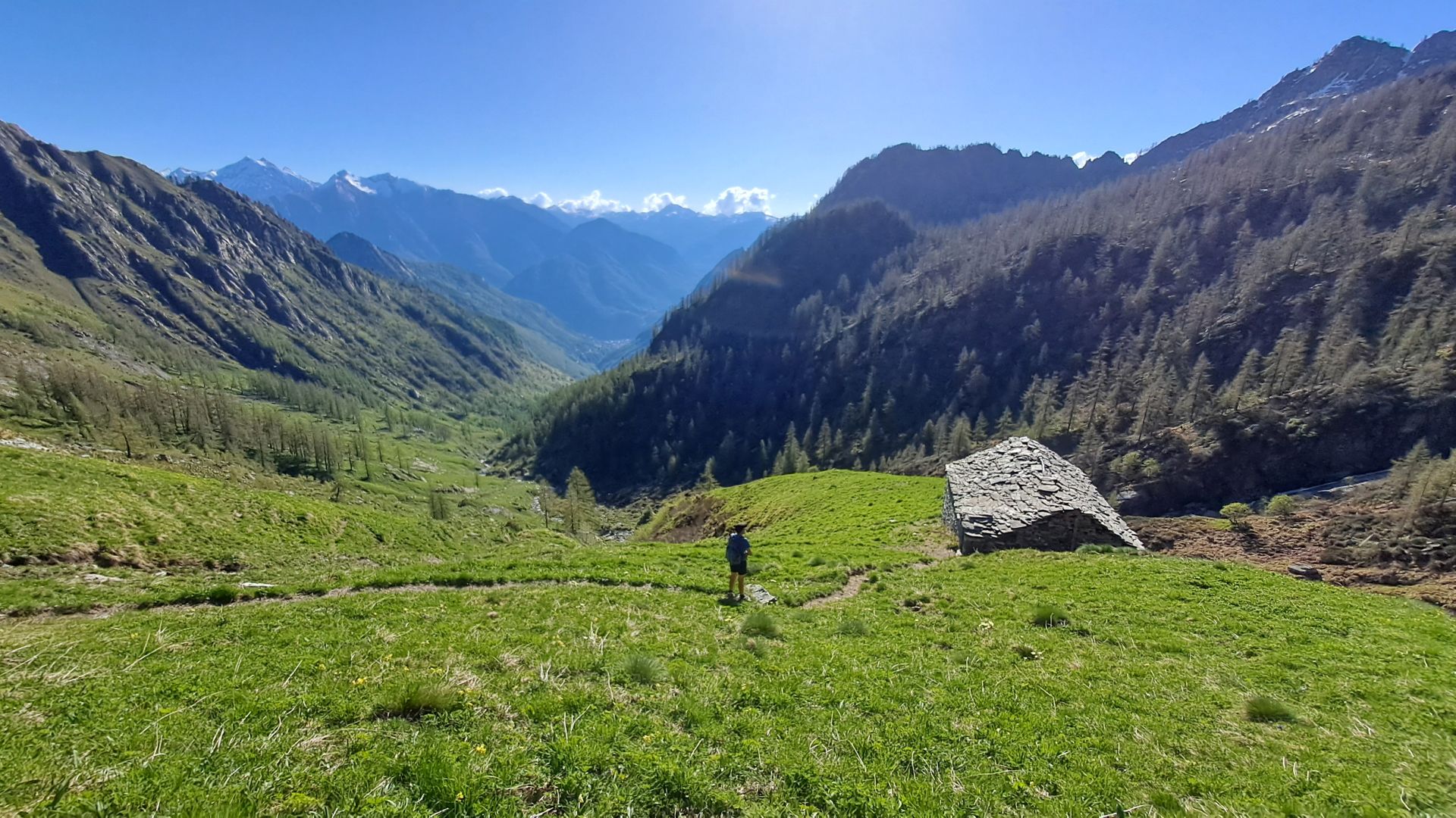
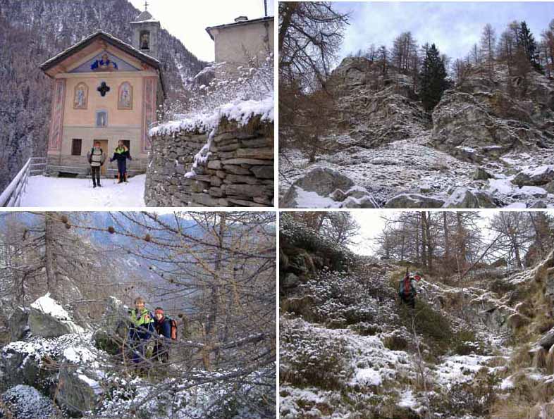
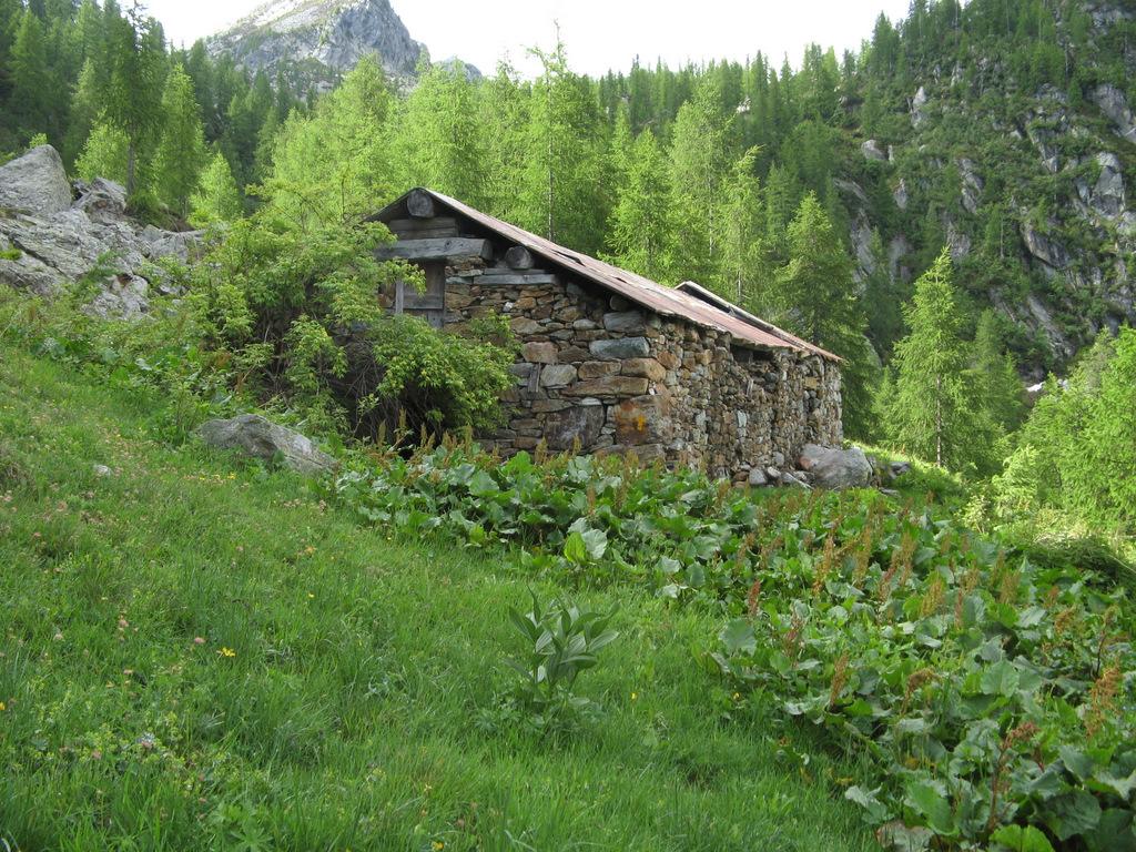
La strada per Delevret parte da sotto il paravalanghe dopo Pont Bozet; ampio parcheggio, con le paline gialle che indicano il percorso; si passa in mezzo a villaggi deliziosi, chiesina, scuola del 1888, fonti d’acqua e forno del pane; stanno costruendo una monorotaia al servizio degli alpeggi.
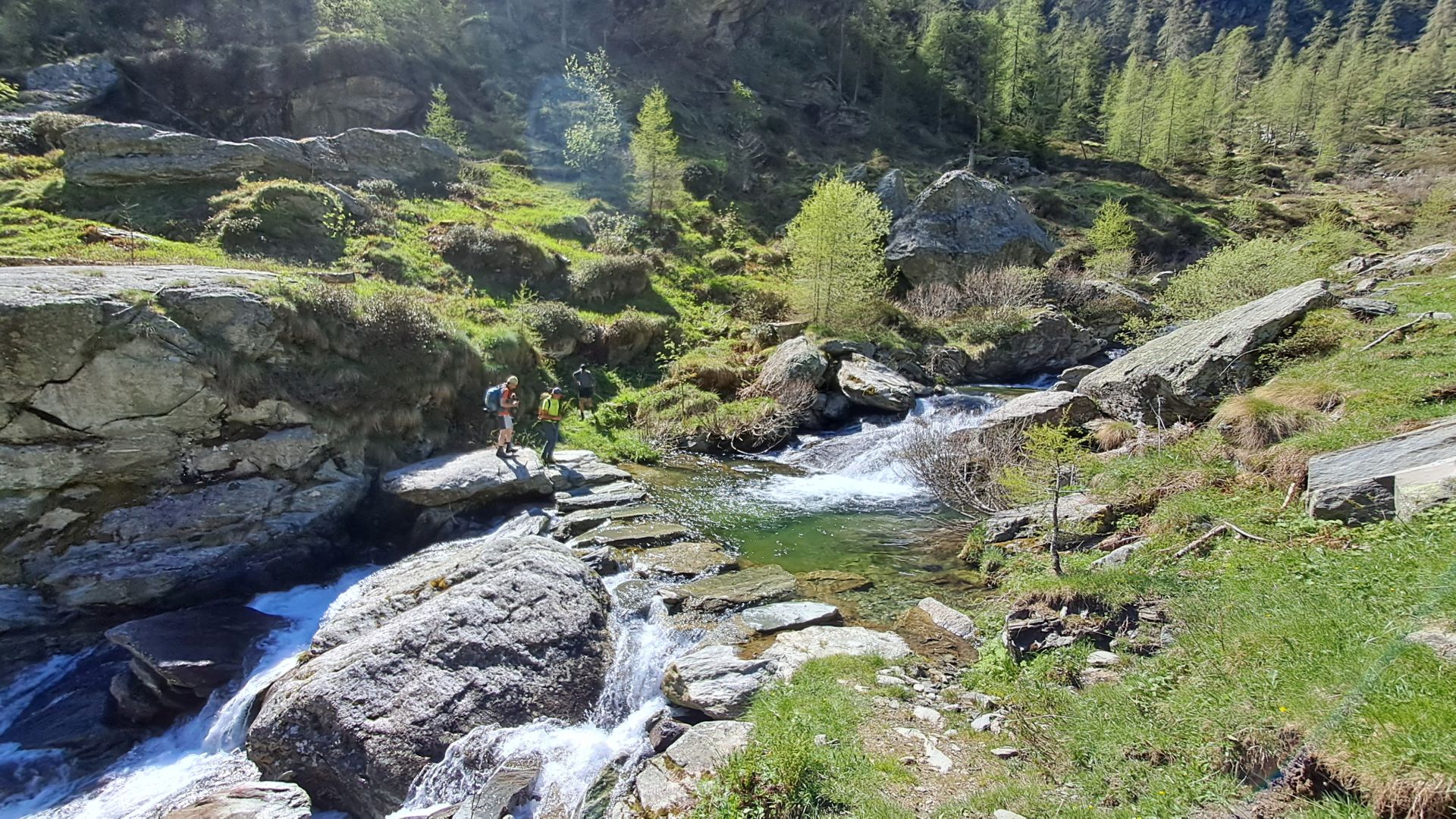
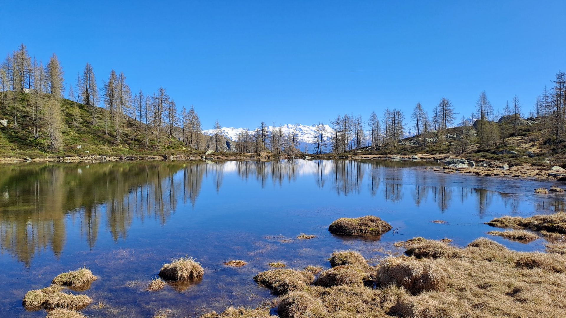
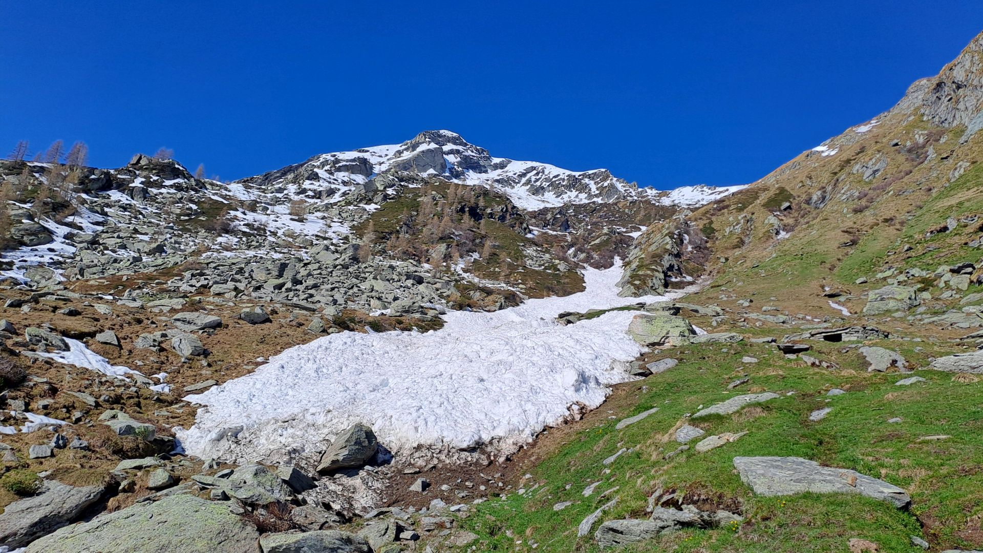
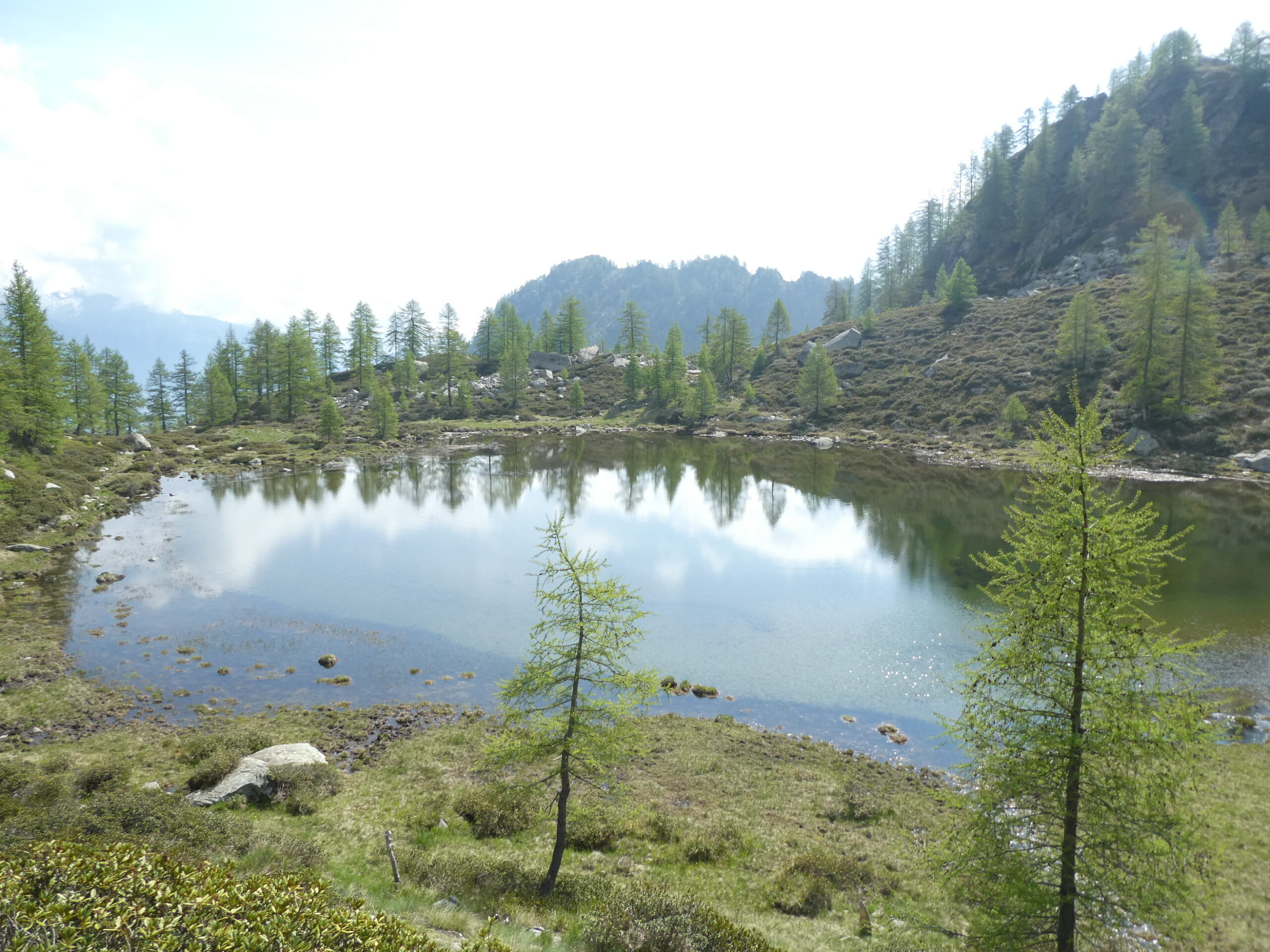
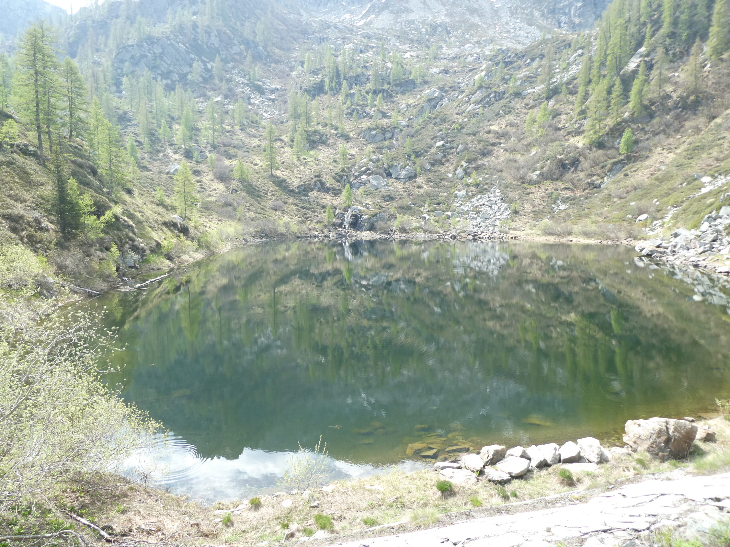
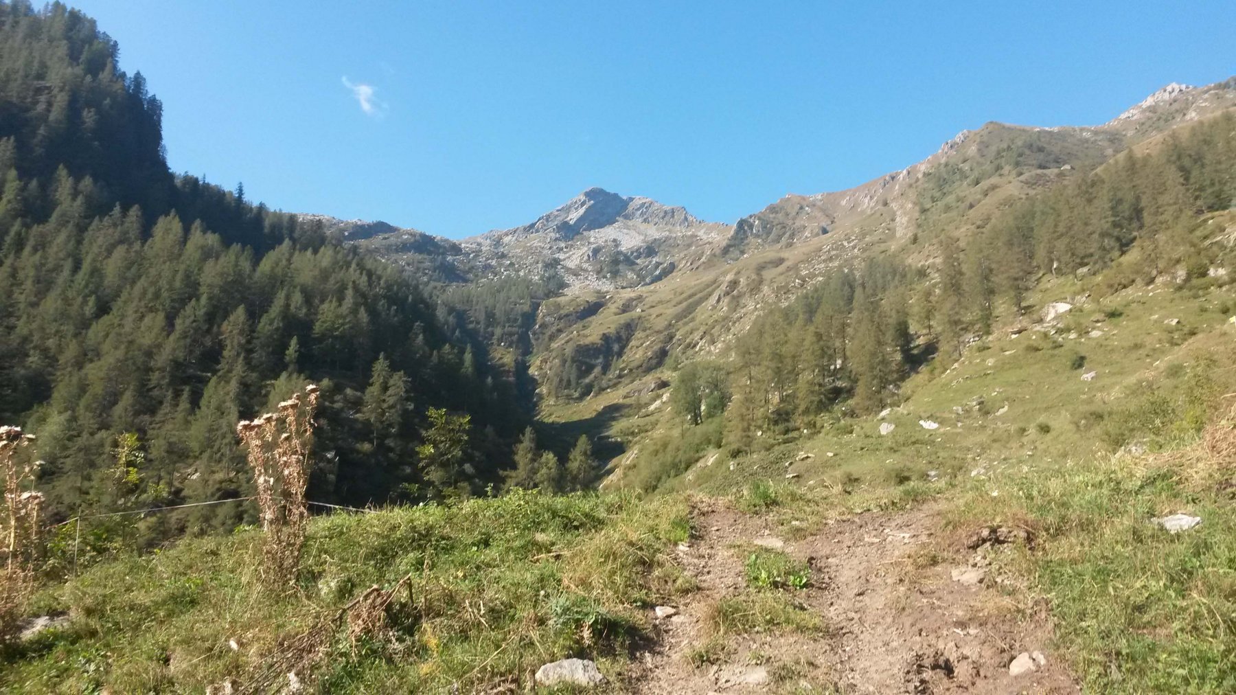
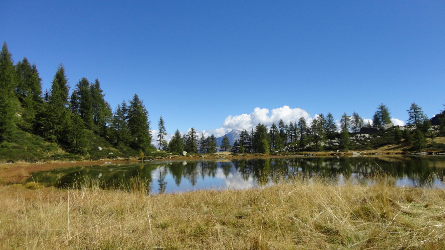
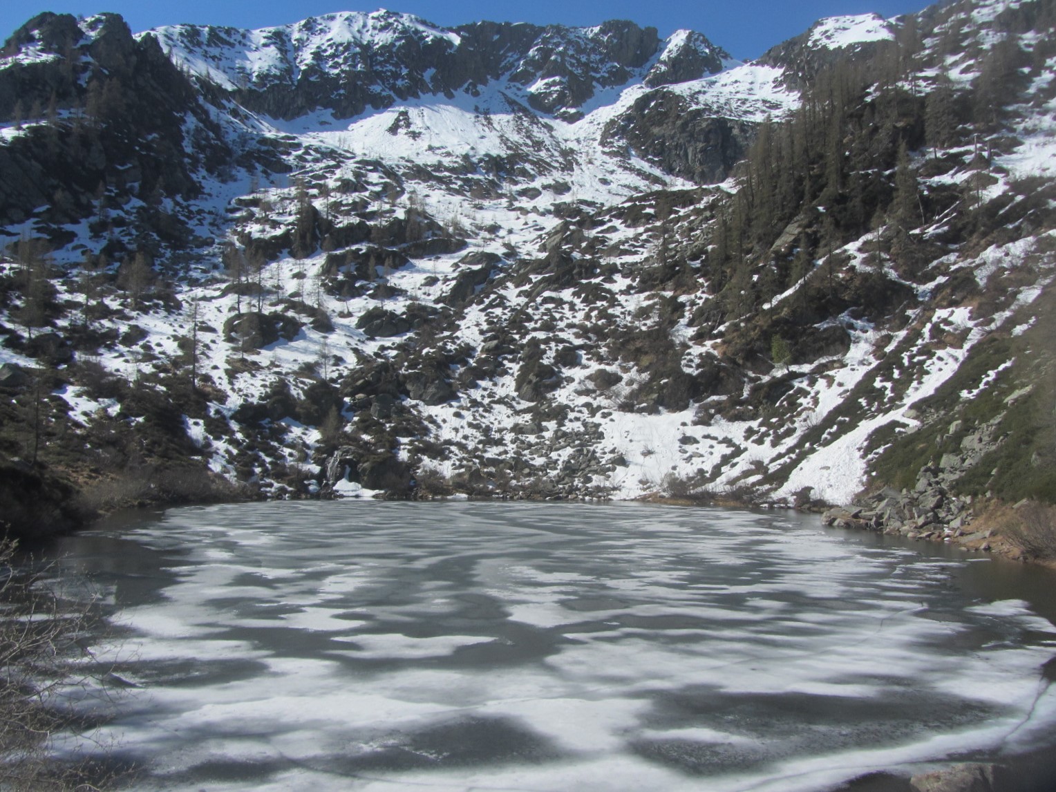
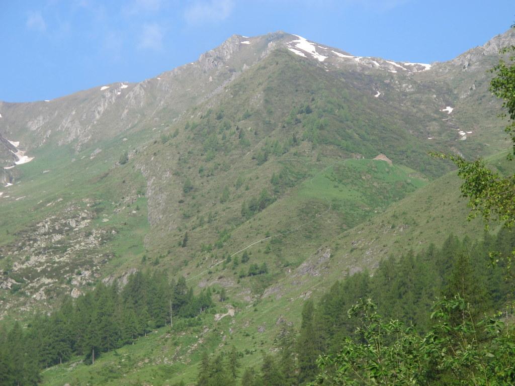
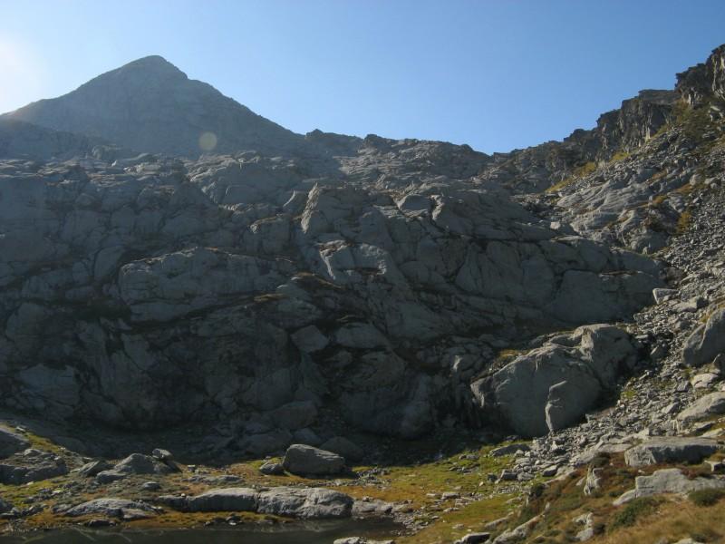
Arrivati all’alpe Boset Damon, fuori dagli alberi, prendere il sentiero di sinistra, che attraversa il torrentello e seguirlo facilmente fino al Lac Sec; qui la cartina segnala un sentiero a sinistra del lago, invece ne e’ stato ripulito e marcato uno a destra, che con qualche svolta porta ad un bivio: proseguire a sinistra e si arriva al Lac Noir; cemento a delimitare il catino; ridiscendere al bivio e risalire a dx fino al colletto soprastante dal quale si vede il delizioso laghetto Champas.
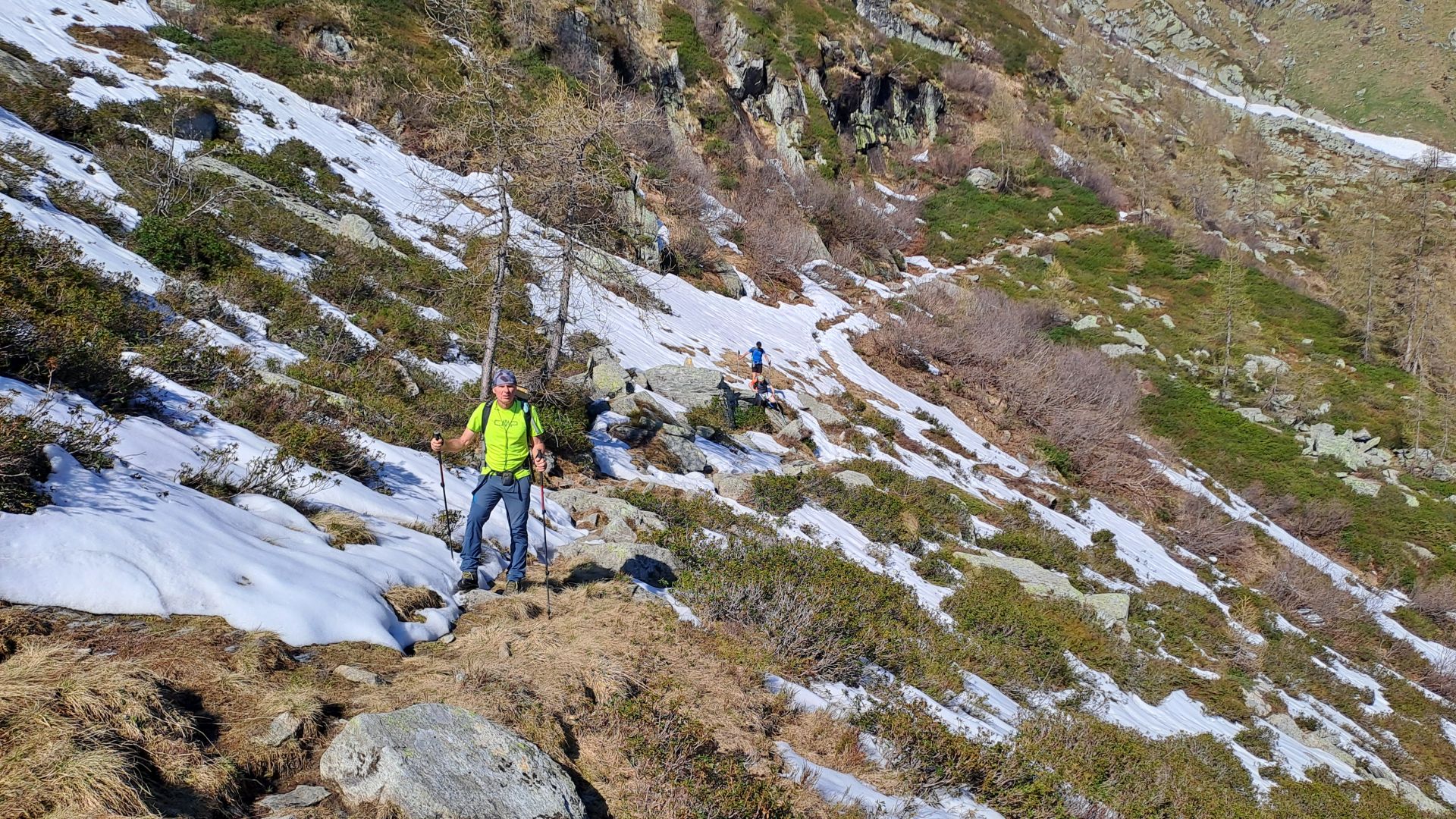
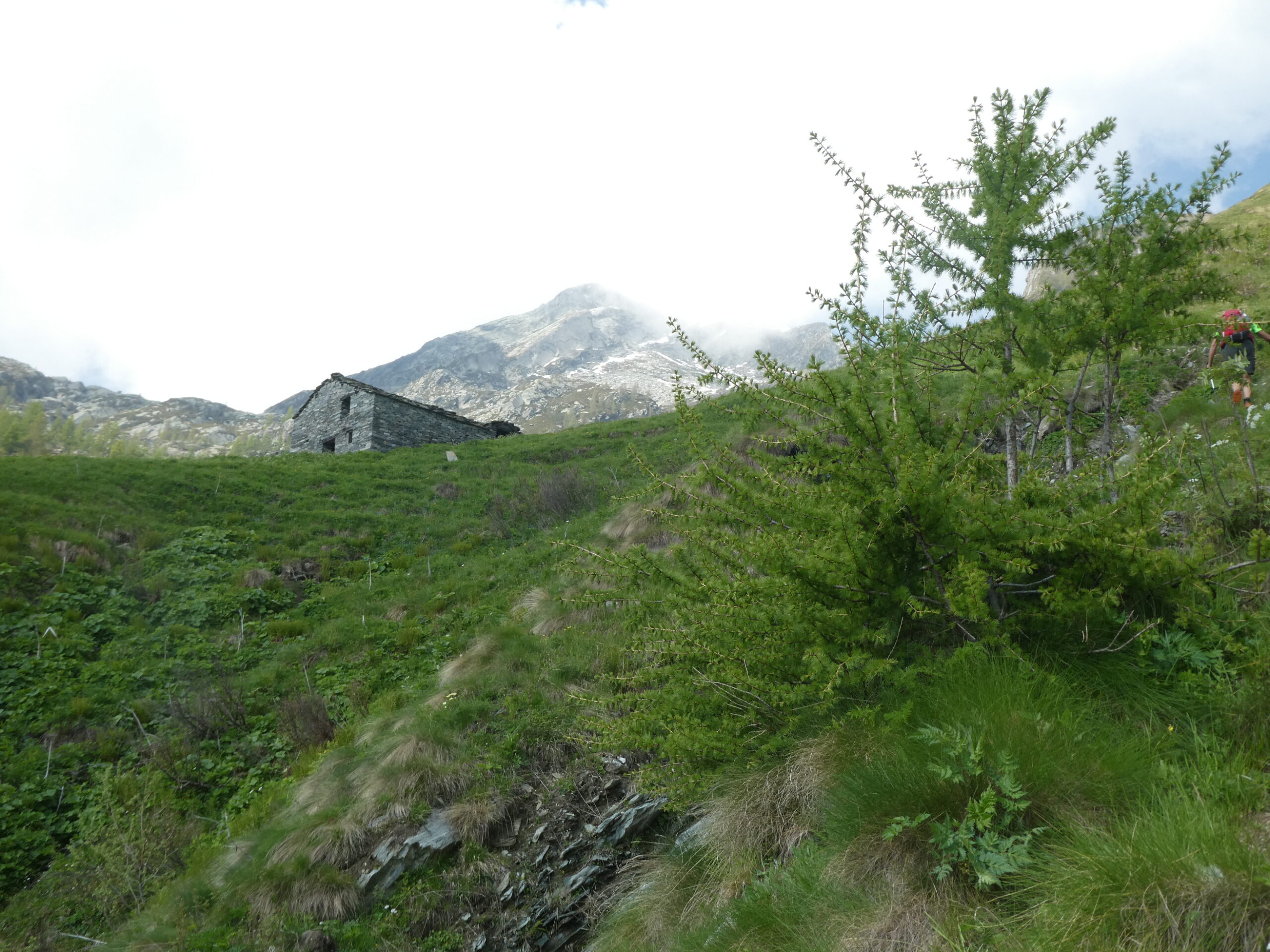
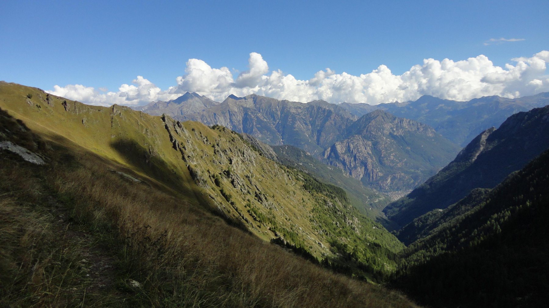
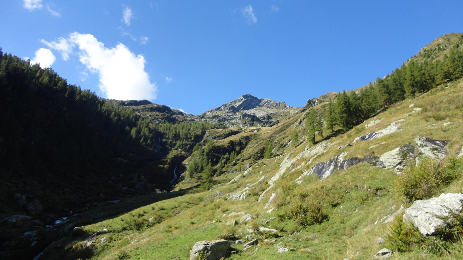
I segni attraversano l’emissario ed aggirano il promontorio successivo a destra, ma anche costeggiando il lago a sinistra si arriva a vedere l’alpe Champas, davanti alla quale ri riacchiappa il sentiero. A questo punto prestare la massima attenzione ai segni: fino all’alpe Chanton e’ praticamente inesistente, unica guida, i segni gialli sbiaditi sulle pietre e qualche ometto. Dall’alpe Chanton tracce e segni fino all’alpe Damon, e di qui ancora la stessa mulattiera fino a Delevret.
- Cartografia:
- IGC 1:50000 Ivrea-Biella Bassa vd'Aosta
- Bibliografia:
- ZAVATTA: I Monti di Ao......Champorcher
Nelle vicinanze Mappa
Itinerari
27/10/2017 AO, Pontboset D+ 1300 m EE Varie
Giavin (Mont) e Mont Digny da Boillas, anello
 50m
50m
23/07/2006 AO, Pontboset D+ 900 m EE Nord-Est
Chaty (Bec) da Delivret
 50m
50m
17/10/2020 AO, Pontboset D+ 880 m EE Varie
Digny (Mont) da Fournier
 50m
50m
14/10/2023 AO, Pontboset D+ 1400 m EE Sud-Est
Chenessy (Punta di) da Coletta
 50m
50m
04/10/2009 AO, Pontboset D+ 1258 m EE Varie
Valbella (Colle) da Crest
 1.6Km
1.6Km
06/07/2021 AO, Pontboset D+ 1100 m EE Varie
Brenve (Comba de) da Crest per il Santuario di Retempio
 1.6Km
1.6Km
09/08/2024 AO, Pontboset D+ 1685 m EE Varie
Fricolla (Punta della) da Crest, anello valloni Brenve e Manda
 1.6Km
1.6Km
16/10/2014 AO, Pontboset D+ 1800 m EE/F Nord
Corni (Monte dei) da Crest, anello per la valle delle Brenve
 1.6Km
1.6Km
07/07/2026 AO, Pontboset D+ 1461 m EE/F Nord-Est
Dondogna (Punta) da Crest
 1.6Km
1.6Km
27/06/2025 AO, Pontboset D+ 1450 m E Nord-Ovest
Pousseuil (Mont) da Pontboset/Crest per il Santuario di Retempio e Col Pousseuil
 1.7Km
1.7Km
Servizi
4.4Km
4.5Km
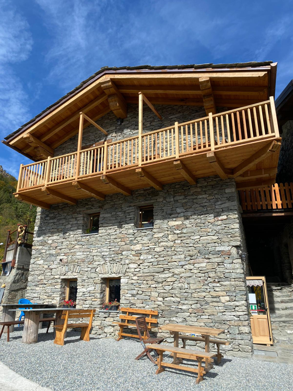
La maison de la Tante B&B
Champorcher
4.6Km
La Chemin de la Luge Ristorante
Hone
6.1Km
Dell’Isola Ristorante
Arnad
6.7Km
Saint Roch Ristorante
Hône
7.3Km
Antichi sapori Ristorante
Hone
7.3Km
La Kiuva Ristorante
Arnad
7.4Km
Old Valley Pub Ristorante
Arnad
7.4Km
Des amies Ristorante
Arnad
7.4Km