3.1Km
3.1Km


Note
 3Km
3Km
3Km
3.4Km
3.4Km
3.4Km
3.4Km
3.9Km
3Km
3Km
3Km
3.4Km
3.4Km
3.4Km
3.4Km
3.9Km
3.1Km
3.1Km
3.1Km
3.1Km
3.6Km
5.1Km
5.9Km
5.9Km
6.7Km
6.7Km
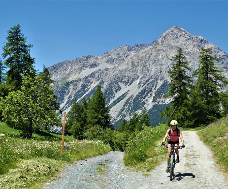
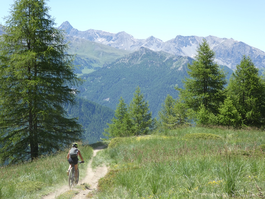
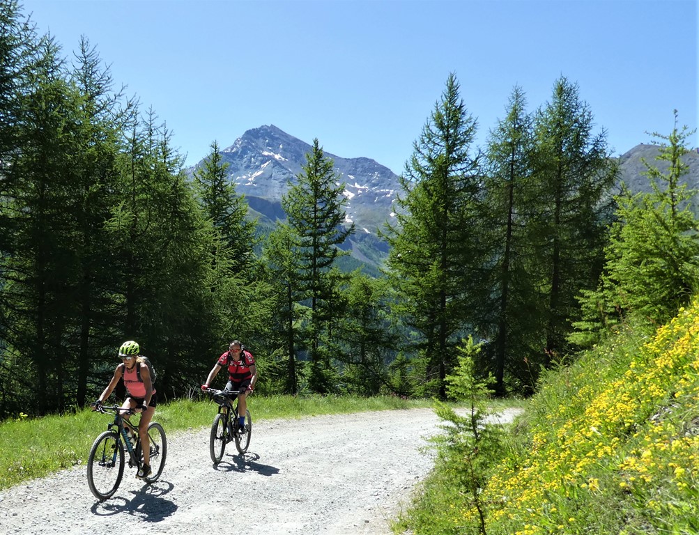
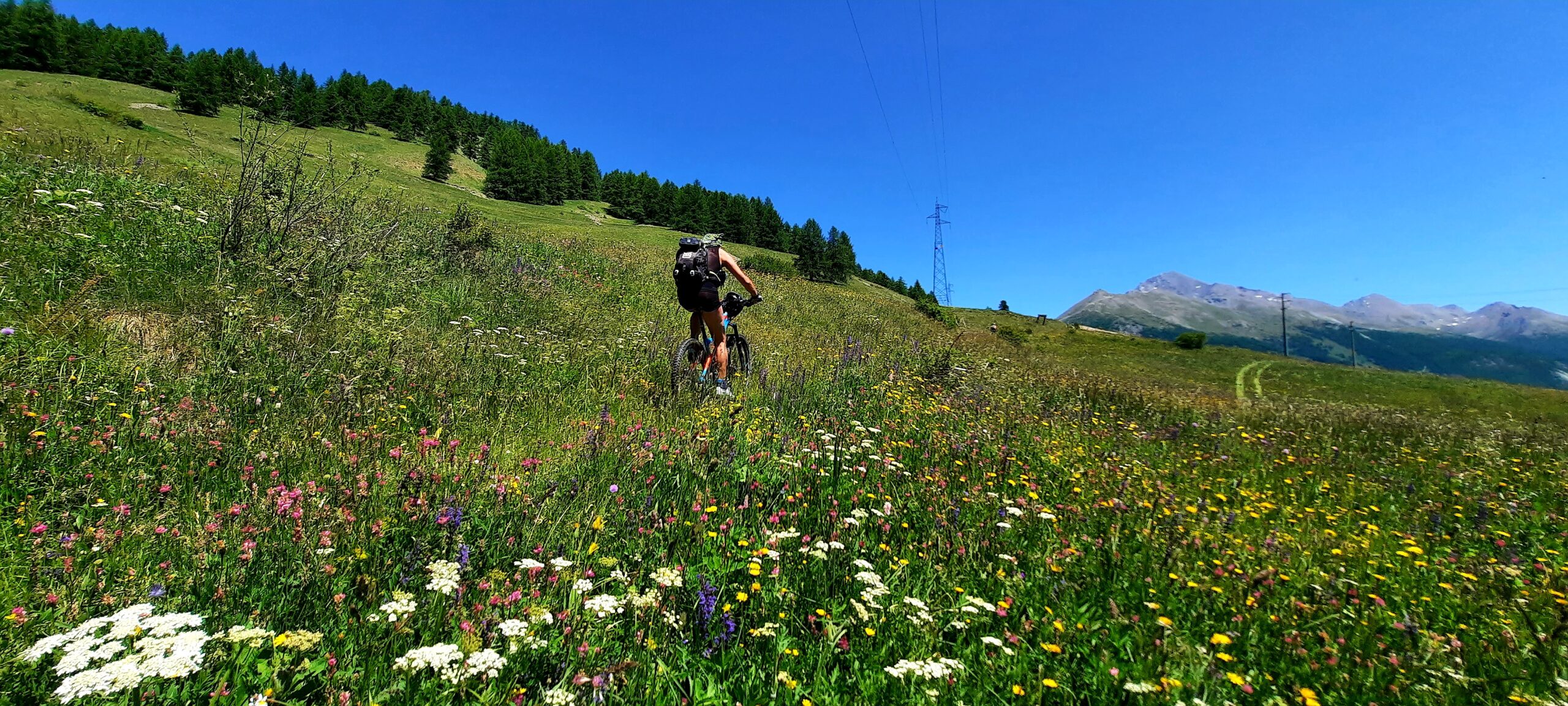
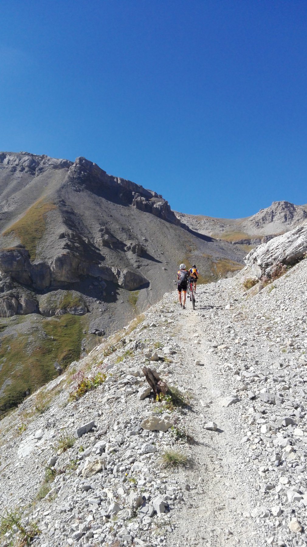
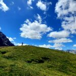
Giro adatto a mezze giornate, quasi sempre su sterrati e sentieri molto semplici e quindi adatti a tutti. Da fare solo un po di attenzione ad alcuni tratti esposti sul sentiero Bordin.
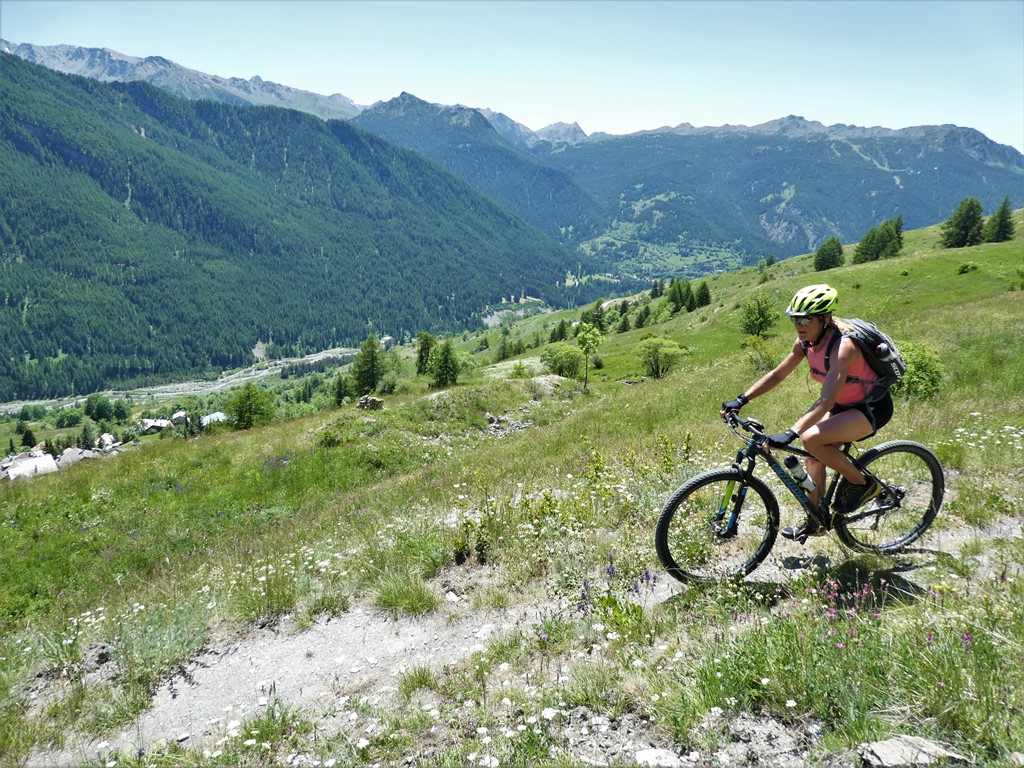
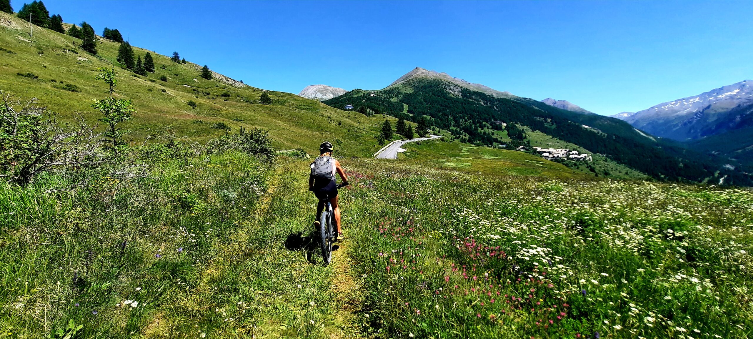
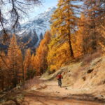
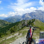
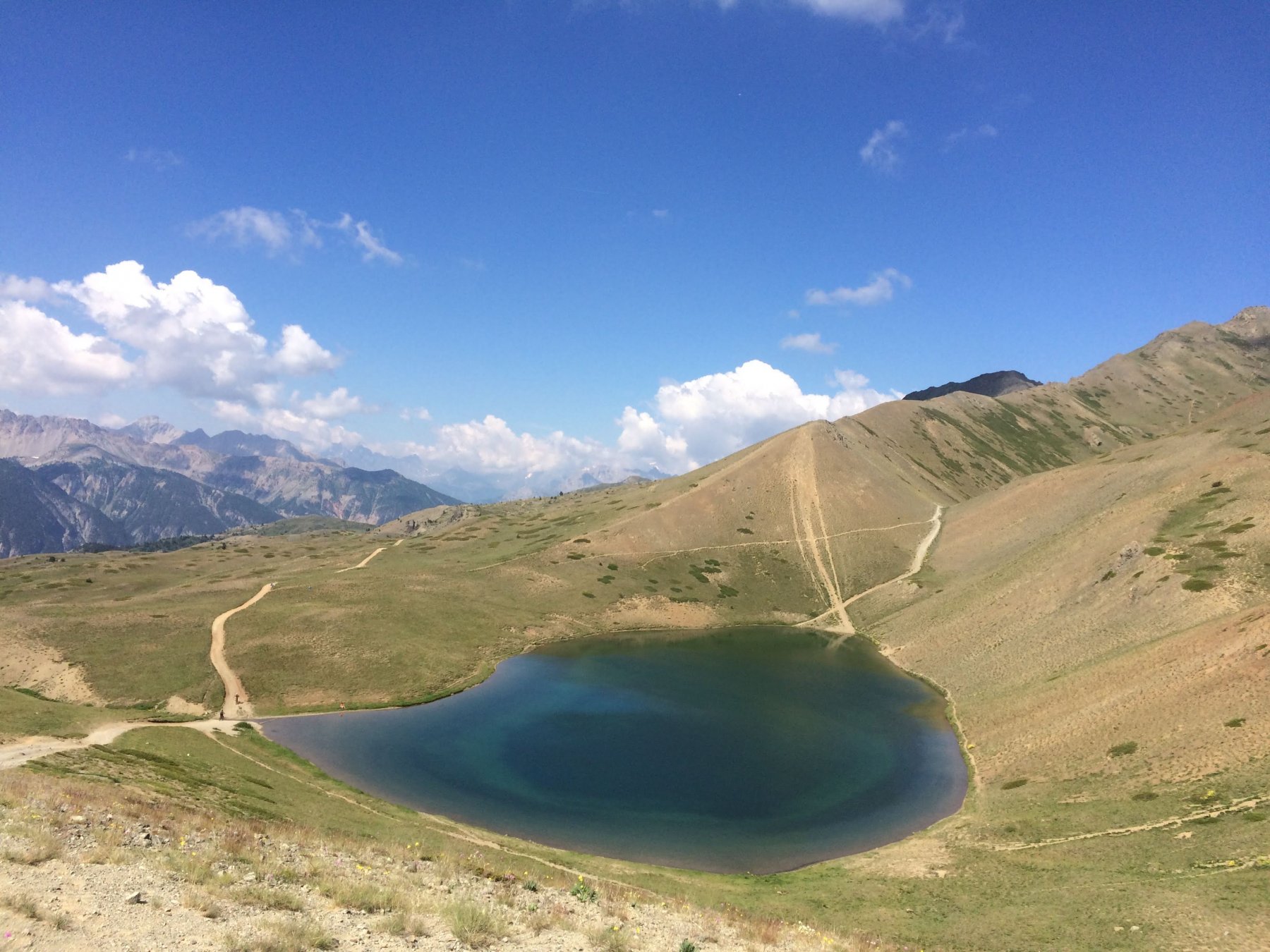
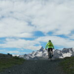
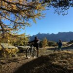
Panorami magnifici nonostante non si salga mai troppo in quota.
Avvicinamento
Panorami magnifici nonostante non si salga mai troppo in quota.
Partenze possibili sia da Sestriere da dove la salita si spezza sostanzialmente in due parti oppure da Sansicario alta facendo un'unica salita.
Descrizione
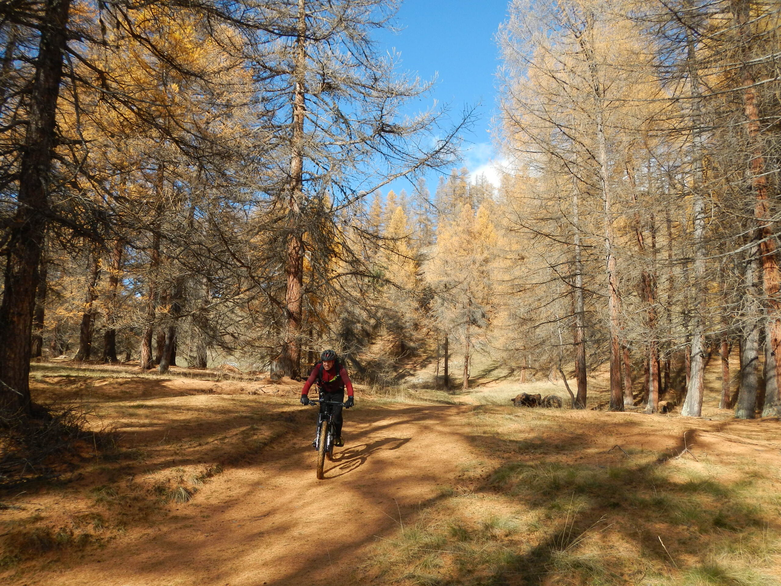
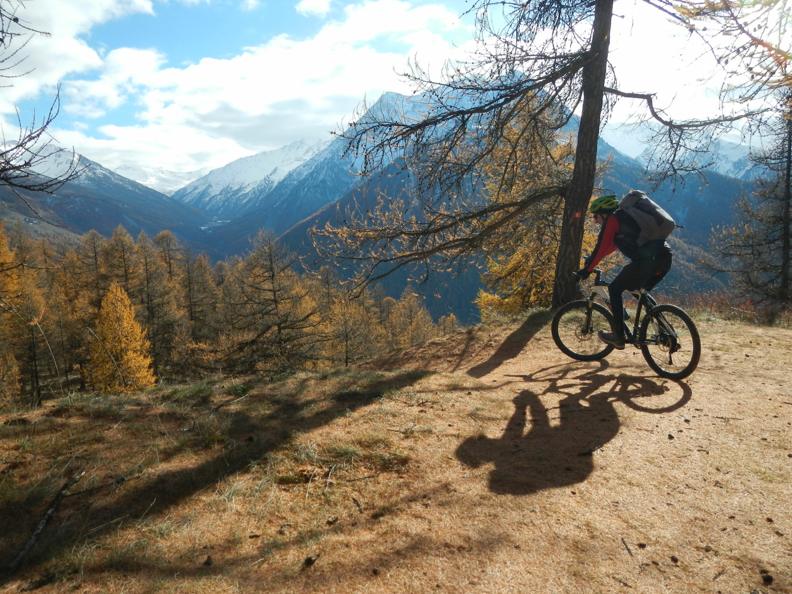
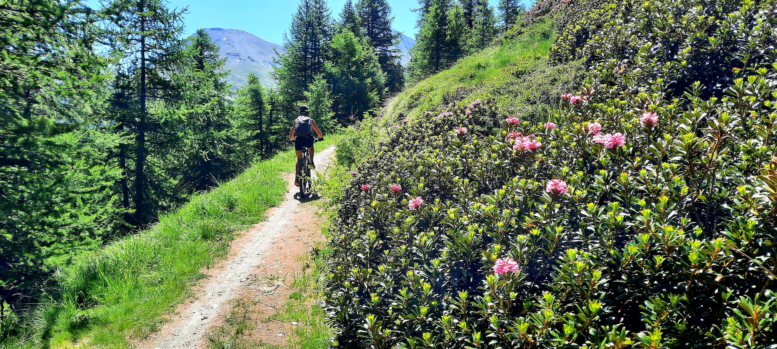
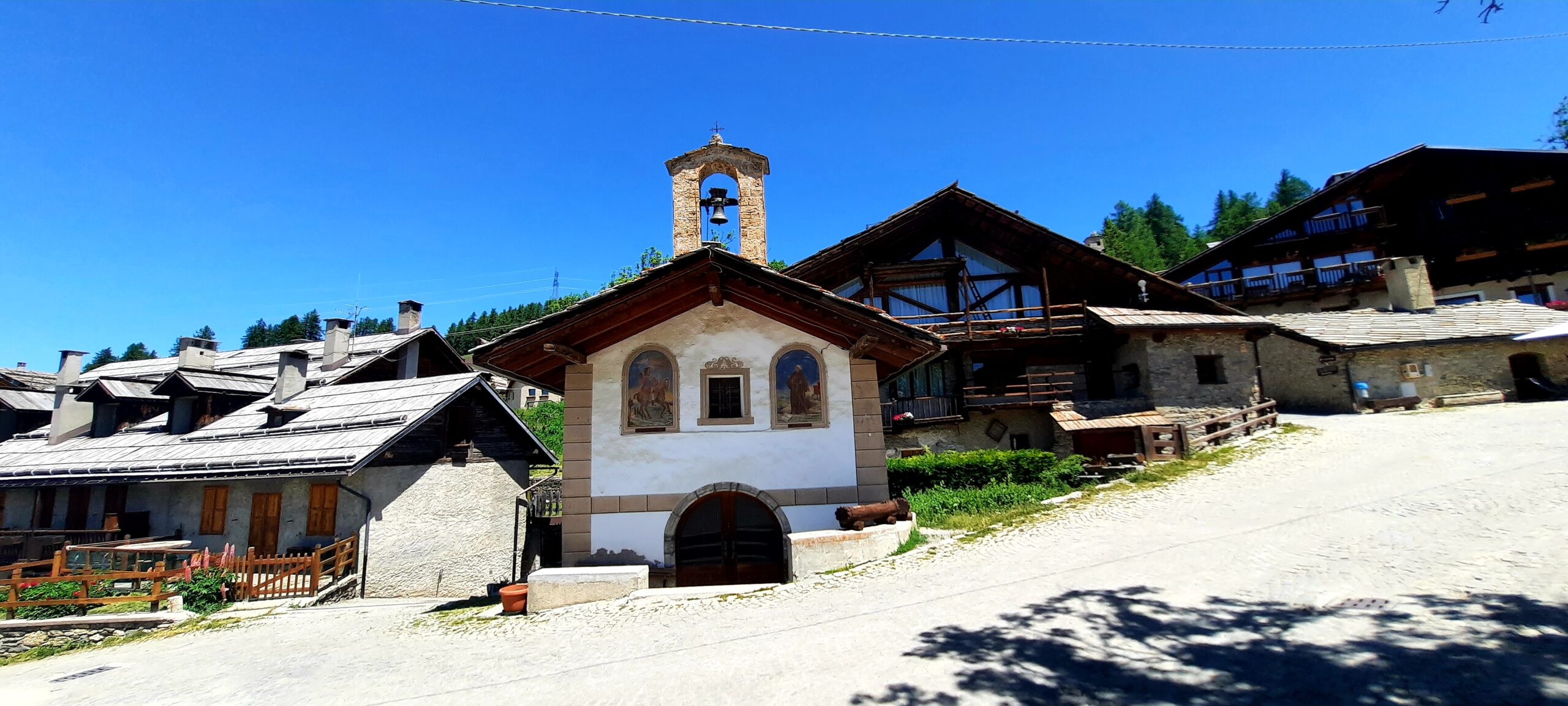
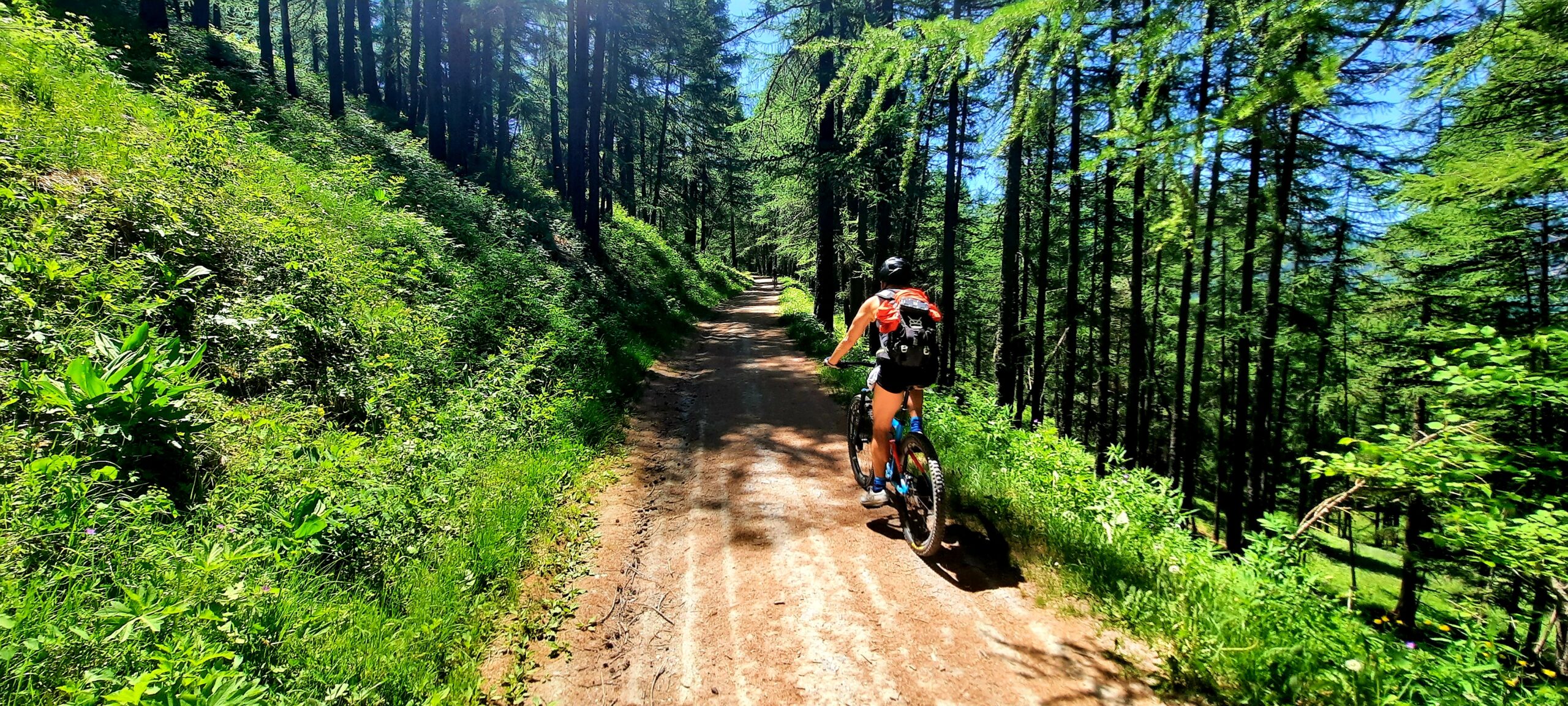
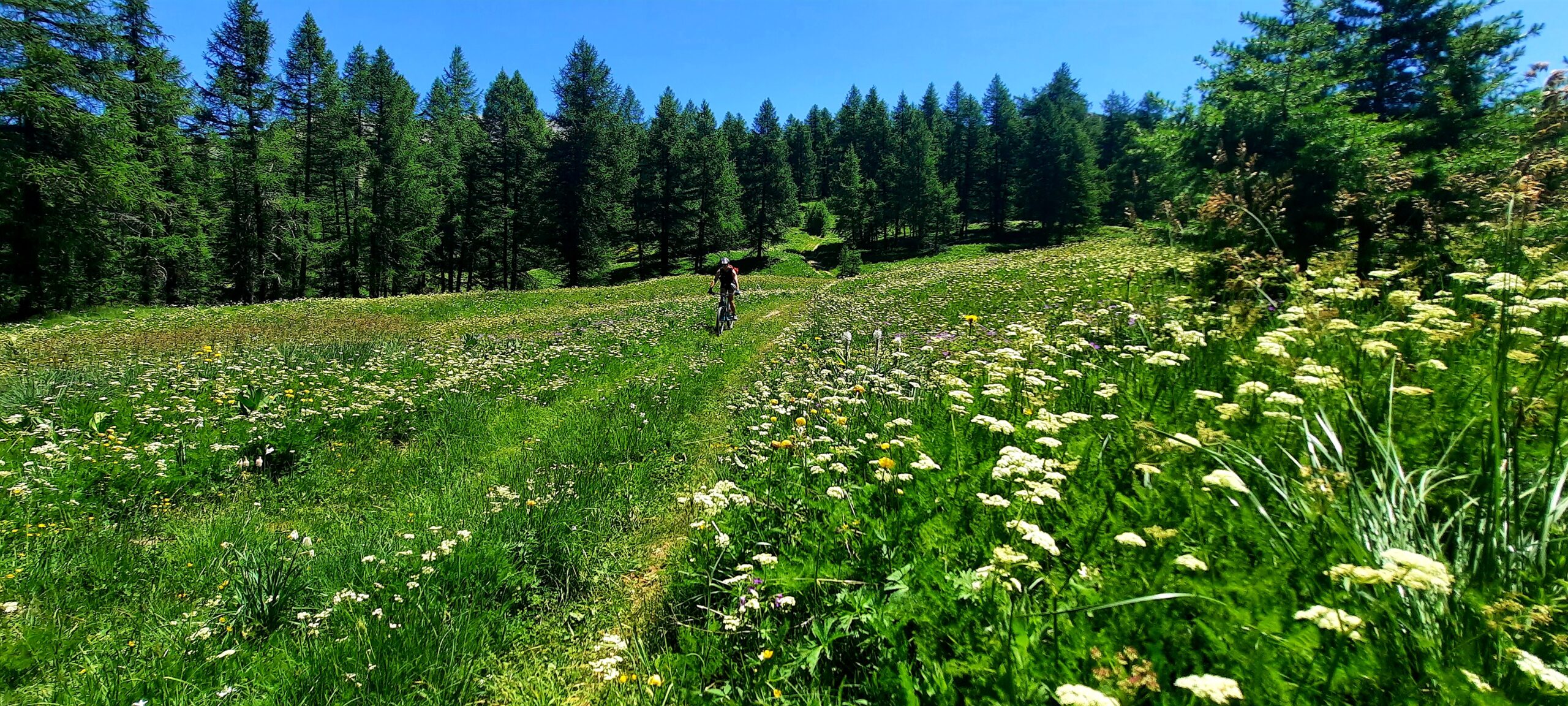
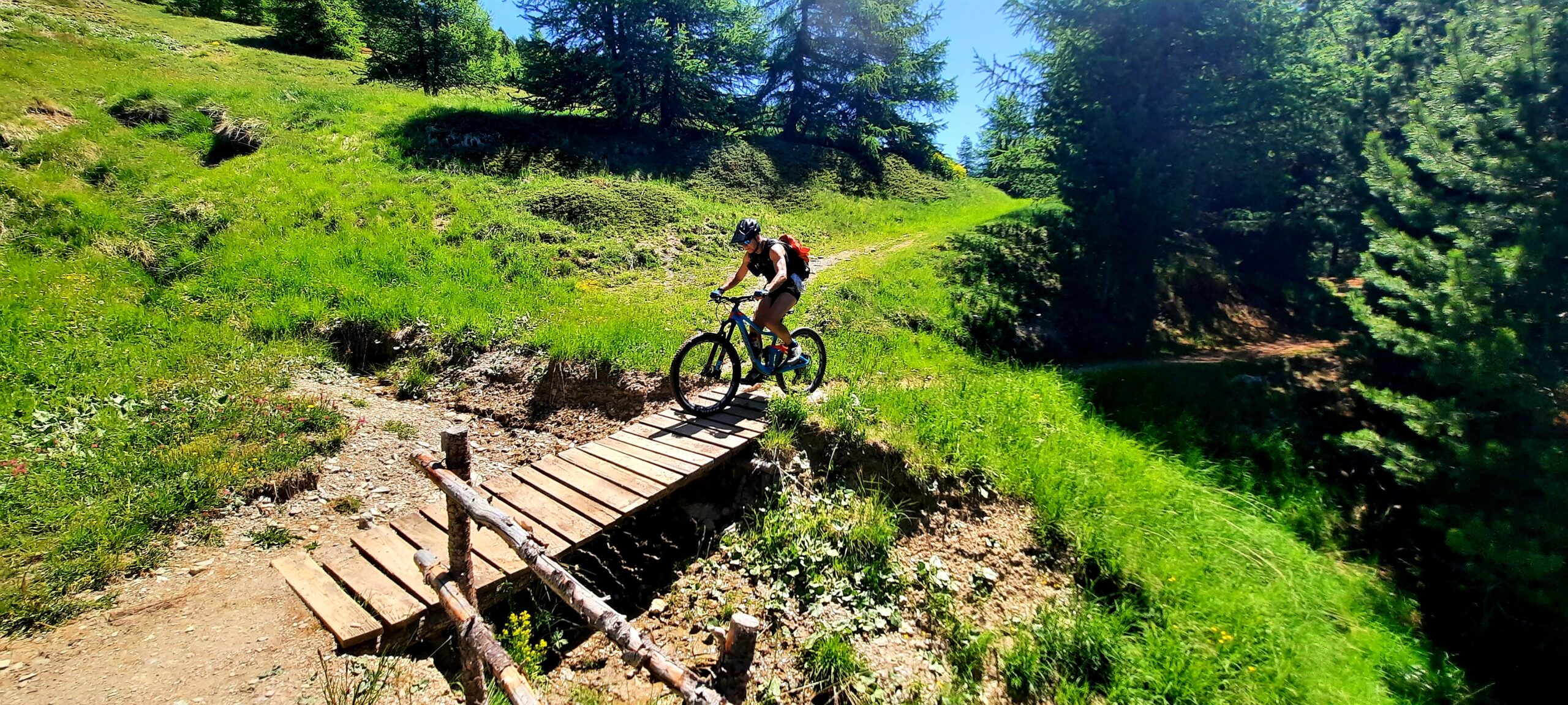
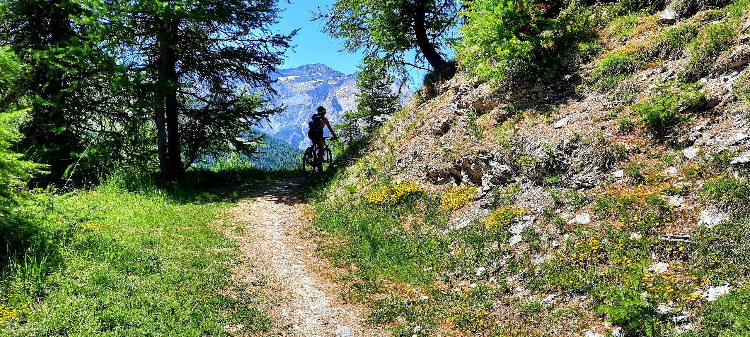
Da Sansicario Alto o dall’arrivo della cabinovia imboccare la carrareccia militare che con percorso in lieve salita e fondo ottimo porta allo splendido abitato di Champlas Seguin. Attraversarlo in direzione est e copiare un paio di tornanti dalle pendenze più impegnative. Lasciare a sx la sterrata che sale verso Chalmettes mentre al successivo bivio tenere a sinistra (L1 su Fraternali, sentiero Louis XIV). Il facile sentiero attraversa prati stupendamente fioriti in primavera e quasi sempre in lieve salita porta sulla Sp23 in località Arnoudens. Da qui si segue la provinciale attraversando Sestriere e oramai sul lato opposto Chisone si imbocca sulla sx la strada prima asfaltata e poi ben presto sterrata del col Basset. A quota 2250 circa si abbandona la sterrata per imboccare sulla sx il sentiero Bordin (ignorare prima pagina più bassa non ciclabile). Il sentiero dopo un primo tratto in salita si mantiene in mezzacosta e con percorso estremamente filante porta a doppiare il costone sud del monte Rotta.
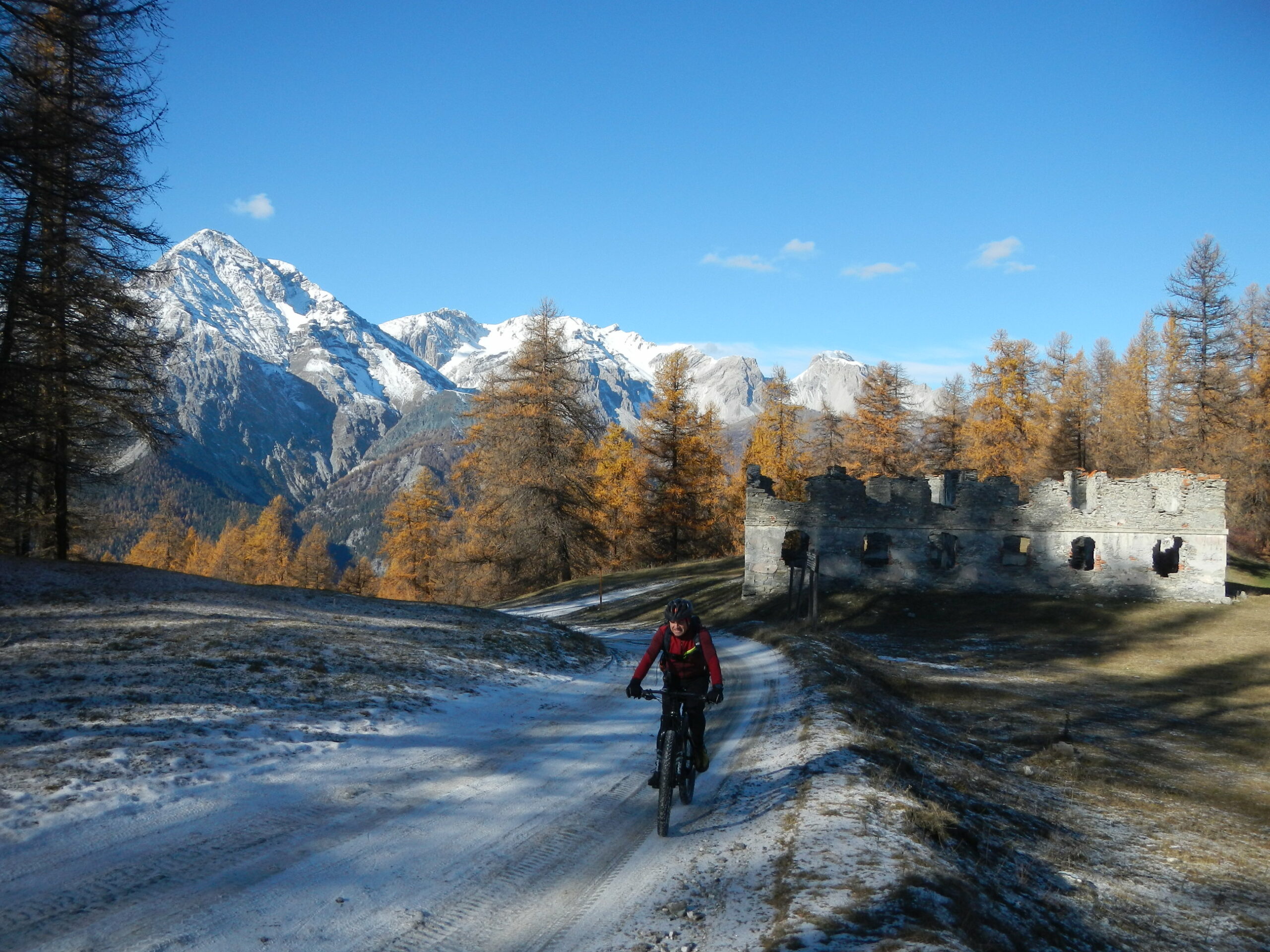
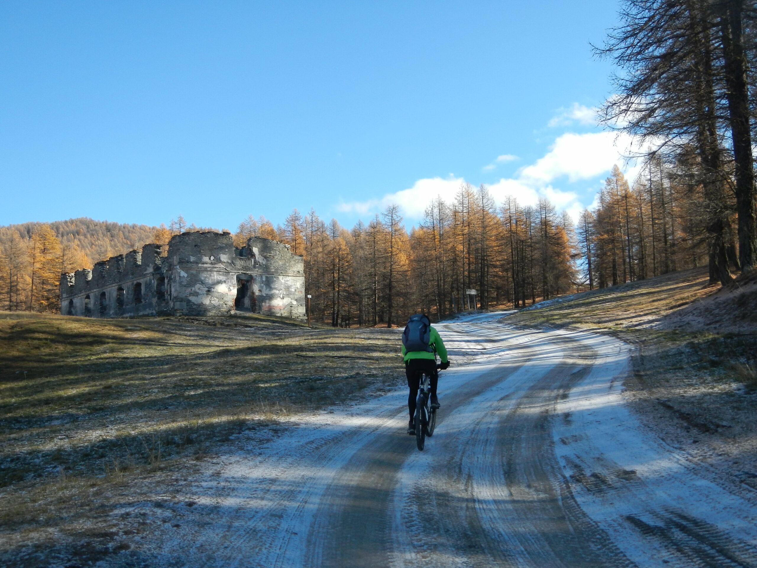
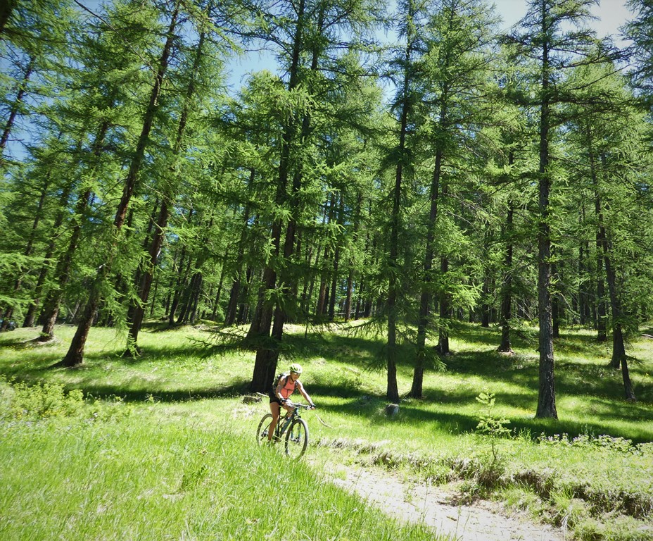
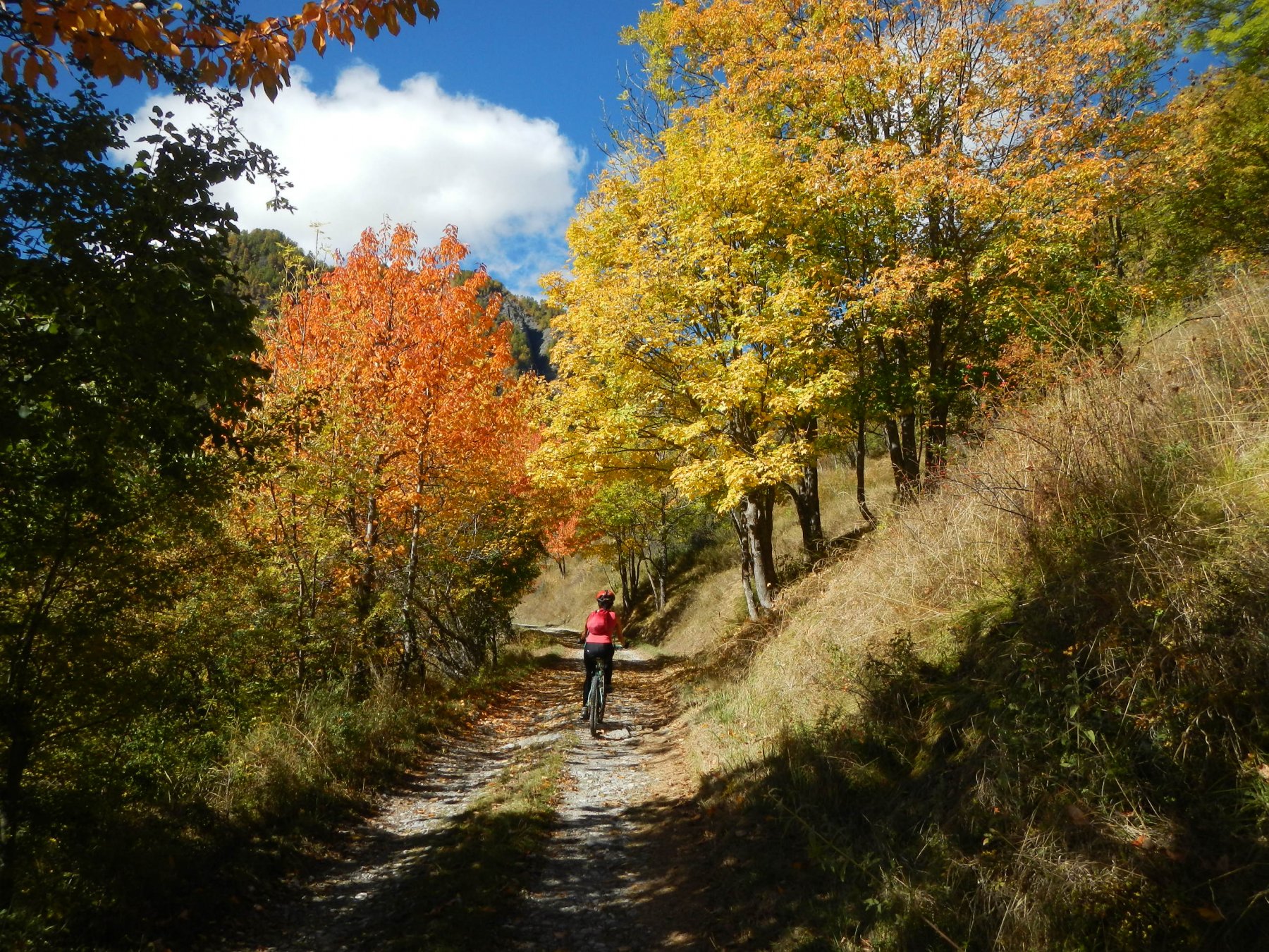
Il sentiero termina incrociando una sterrata che sale al monte Fraiteve. Si scende per un breve tratto (possibilità di tagliare su sentiero evidente) e si incontra l’asfaltata del monte Rotta dove si tiene a destra. La pista in discesa porta velocemente a Soleil Boeuf dove occorre individuare una sterrata che a sinistra prende in direzione opposta. Si arriva quasi subito ad un bivio dove si può tenere a destra (ADS1) e per una sterrata dal buon fondo ma molto ripida arrivare velocemente al punto di partenza. Oppure tenere il ramo di destra (ADS2) che diventa ben presto un sentiero scorrevole e divertente e quindi di nuovo pista forestale. In corrispondenza di un bivio in prossimità di una pista da sci tenere a dx (ADS5) e su agevole mulattiera a saliscendi tornare al punto di partenza.
- Cartografia:
- Fraternali Alta valle Susa Chisone
- Bibliografia:
- Western Trails Zunino
Nelle vicinanze Mappa
Itinerari
19/08/2019 TO, Cesana Torinese D+ 1274 m BC, TC, S1 Sud-Ovest
Fraiteve (Monte) da Sansicario
1.6Km
12/07/2025 TO, Cesana Torinese D+ 1880 m OC, OC, S3 Varie
Chaberton (Monte) da Fenils, giro per Claviere ITINERARIO VIETATO
 3Km
3Km
14/10/2023 TO, Cesana Torinese D+ 386 m MC, BC, S1 Sud-Est
Rosso (Colletto) e Col Gris da Fenils, giro per Desertes
 3Km
3Km
12/11/2025 TO, Cesana Torinese D+ 751 m BC, BC+, S0 Sud
Gardiol (Punta) da Fenils
 3Km
3Km
06/07/2022 TO, Cesana Torinese D+ 1350 m MC+, MC, S0 Varie
Courbioun (Monte) da Cesana, giro per Thures, Capanna Mautino, Sagnalonga
 3.4Km
3.4Km
06/07/2025 TO, Cesana Torinese D+ 1200 m BC, MC+, S2 Varie
Gignoux (Lago) o dei Sette Colori da Cesana, giro per Sangalonga, Col Saurel, Lago Nero, Rhuilles
 3.4Km
3.4Km
18/08/2025 TO, Cesana Torinese D+ 1200 m BC, BC, S1 Tutte
Gignoux (Lago) o dei Sette Colori da Cesana, giro per Col Chabaud, Fort Gondran, Monginevro, Sagnalonga
 3.4Km
3.4Km
28/06/2025 TO, Cesana Torinese D+ 900 m MC, MC, S0 Sud-Est
Bercia (Colle) da Cesana, giro per Sagnalonga, Lago Nero, Bousson
 3.4Km
3.4Km
04/08/2024 TO, Sauze di Cesana D+ 900 m MC, MC, S1 Sud
Sestriere, sentiero Gelindo Bordin da Rollieres, giro
3.6Km
05/07/2025 TO, Cesana Torinese D+ 1000 m MC+, BC, S1 Tutte
Bosco (Cima del) da Bousson, giro per Thures
 3.9Km
3.9Km
Servizi
3.1Km
3.1Km
L’Ibarus Rifugio
Cesana Torinese
3.1Km
Piergiorgio Frassati B&B
Cesana Torinese
3.1Km
Casa Cesana Bar
Cesana Torinese
3.6Km
Centro Ristorante
Cesana Torinese
5.1Km
La Fontana del Thures Rifugio
Cesana Torinese
5.9Km
La Chardouse Rifugio
Oulx
5.9Km
La Moretta Ristorante
Oulx
6.7Km
La Crota B&B
Cesana Torinese
6.7Km