 1.5Km
1.5Km
Note
 1.6Km
1.9Km
1.9Km
1.9Km
1.9Km
2.8Km
2.8Km
2.8Km
3.5Km
3.5Km
1.6Km
1.9Km
1.9Km
1.9Km
1.9Km
2.8Km
2.8Km
2.8Km
3.5Km
3.5Km
1.5Km
1.6Km
1.6Km
1.6Km
3.3Km
4.7Km
6.3Km
6.5Km
6.5Km
6.5Km
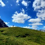
la vetta si erge al confine tra i comuni di Sestriere e Cesana Torinese tra la val di Susa e la val Chisone.
Il Monte Fraiteve è punto nodale degli impianti di risalita del comprensorio sciistico della Via Lattea ed è raggiungibile con una telecabina da Sestriere, da skilift da Sansicario e da una seggiovia a 2 posti da Sauze d'Oulx.
Avvicinamento
Il Monte Fraiteve è punto nodale degli impianti di risalita del comprensorio sciistico della Via Lattea ed è raggiungibile con una telecabina da Sestriere, da skilift da Sansicario e da una seggiovia a 2 posti da Sauze d'Oulx.
.
Nelle vicinanze Mappa
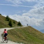
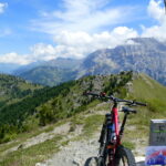
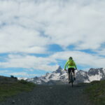
Itinerari
20/07/2025 TO, Cesana Torinese D+ 650 m MC, MC, S0 Sud-Est
Sestriere da Sansicario per i sentieri Louis XIV e Gelindo Bordin
 1.6Km
1.6Km
06/07/2022 TO, Cesana Torinese D+ 1350 m MC+, MC, S0 Varie
Corbioun (Monte) da Cesana, giro per Thures, Capanna Mautino, Sagnalonga
 1.9Km
1.9Km
06/07/2025 TO, Cesana Torinese D+ 1200 m BC, MC+, S2 Varie
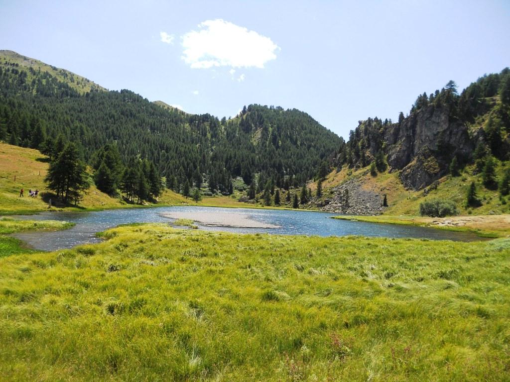
Gignoux (Lago) o dei Sette Colori da Cesana, giro per Sangalonga, Col Saurel, Lago Nero, Rhuilles
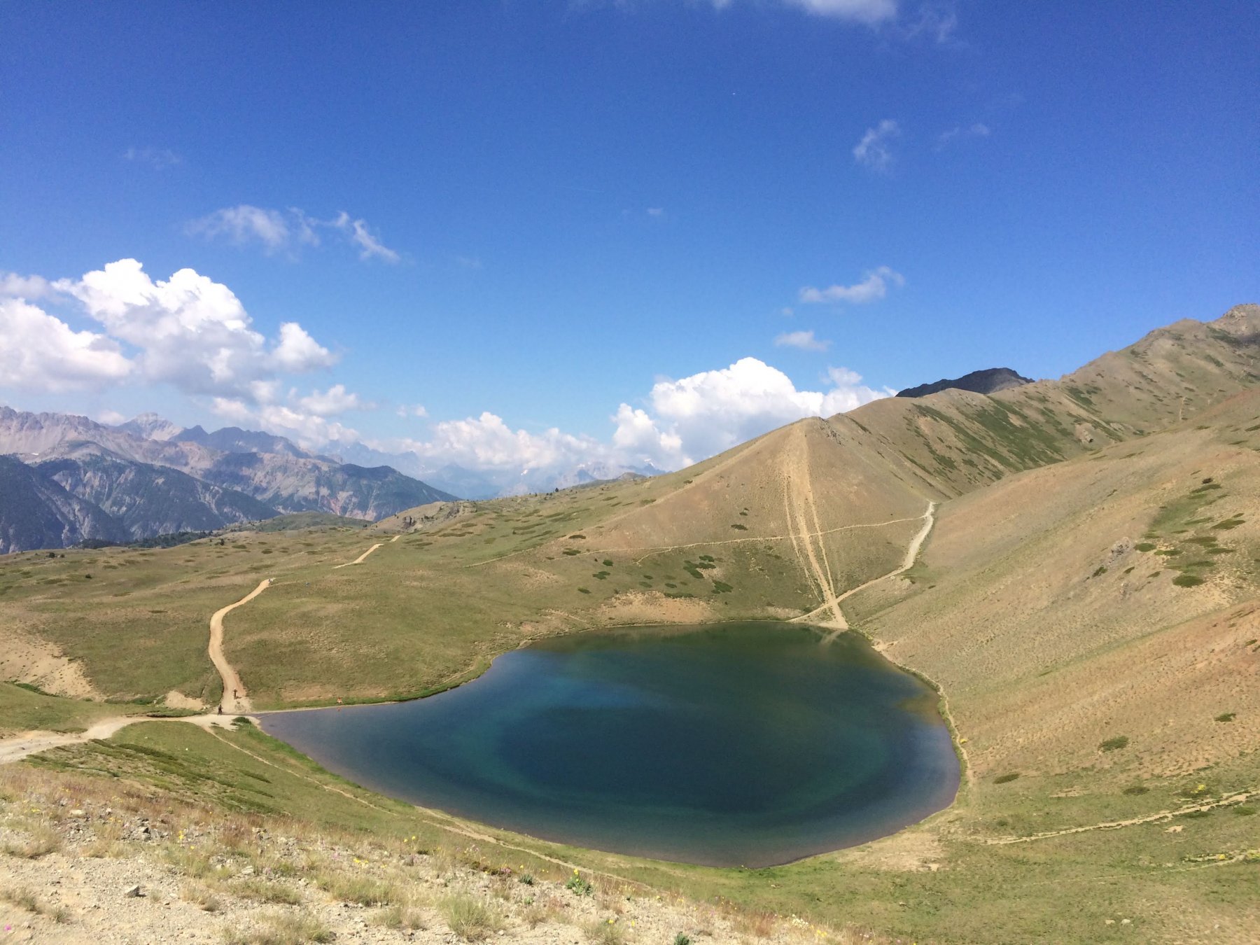 1.9Km
1.9Km
18/08/2025 TO, Cesana Torinese D+ 1200 m BC, BC, S1 Tutte
Gignoux (Lago) o dei Sette Colori da Cesana, giro per Col Chabaud, Fort Gondran, Monginevro, Sagnalonga
 1.9Km
1.9Km
28/06/2025 TO, Cesana Torinese D+ 900 m MC, MC, S0 Sud-Est
Bercia (Colle) da Cesana, giro per Sagnalonga, Lago Nero, Bousson
 1.9Km
1.9Km
14/10/2023 TO, Cesana Torinese D+ 386 m MC, BC, S1 Sud-Est
Rosso (Colletto) e Colletto Grigio da Fenils, giro per Desertes
 2.8Km
2.8Km
12/07/2025 TO, Cesana Torinese D+ 1880 m OC, OC, S3 Varie
Chaberton (Monte) da Fenils, giro per Claviere ITINERARIO VIETATO
 2.8Km
2.8Km
12/11/2025 TO, Cesana Torinese D+ 751 m BC, BC+, S0 Sud
Gardiol (Punta) da Fenils
 2.8Km
2.8Km
05/07/2026 TO, Cesana Torinese D+ 1000 m MC+, BC, S1 Tutte
Bosco (Cima del) da Bousson, giro per Thures
 3.5Km
3.5Km
01/07/2017 TO, Cesana Torinese D+ 600 m BC, TC, S0 Varie
Nero (Lago) da Bousson, giro per Chabaud e Rhuilles
 3.5Km
3.5Km
Servizi
1.5Km
1.6Km
L’Ibarus Rifugio
Cesana Torinese
1.6Km
Piergiorgio Frassati B&B
Cesana Torinese
1.6Km
Casa Cesana Bar
Cesana Torinese
3.3Km
Centro Ristorante
Cesana Torinese
4.7Km
La Fontana del Thures Rifugio
Cesana Torinese
6.3Km
Baita Gimont Rifugio
Claviere
6.5Km
La Crota B&B
Cesana Torinese
6.5Km
La Tana degli Orsi B&B
Cesana Torinese
6.5Km


