2.6Km
2.6Km

Note
 1.9Km
2.7Km
4Km
5.6Km
6.8Km
6.8Km
7Km
8.2Km
8.2Km
8.2Km
1.9Km
2.7Km
4Km
5.6Km
6.8Km
6.8Km
7Km
8.2Km
8.2Km
8.2Km
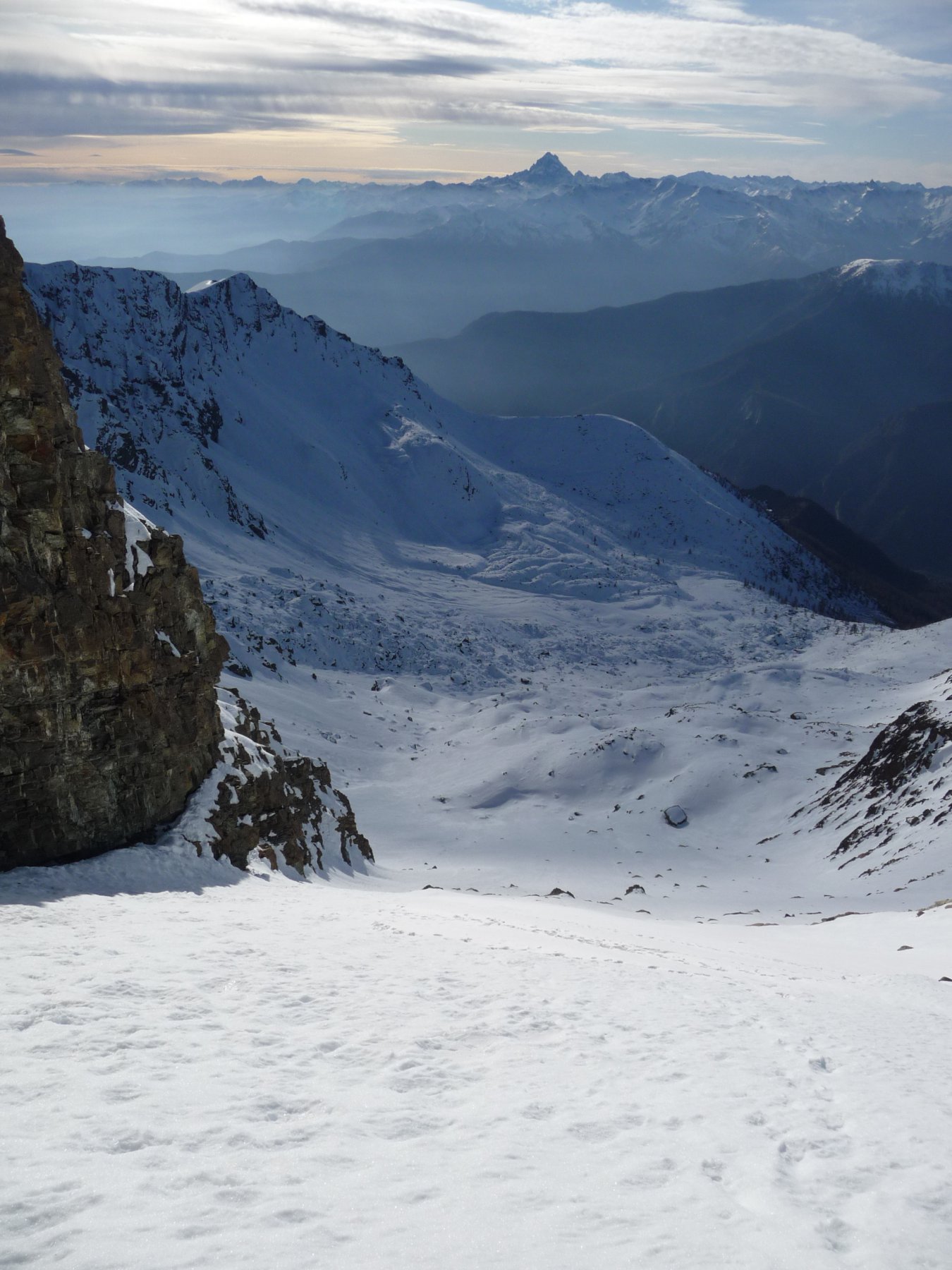
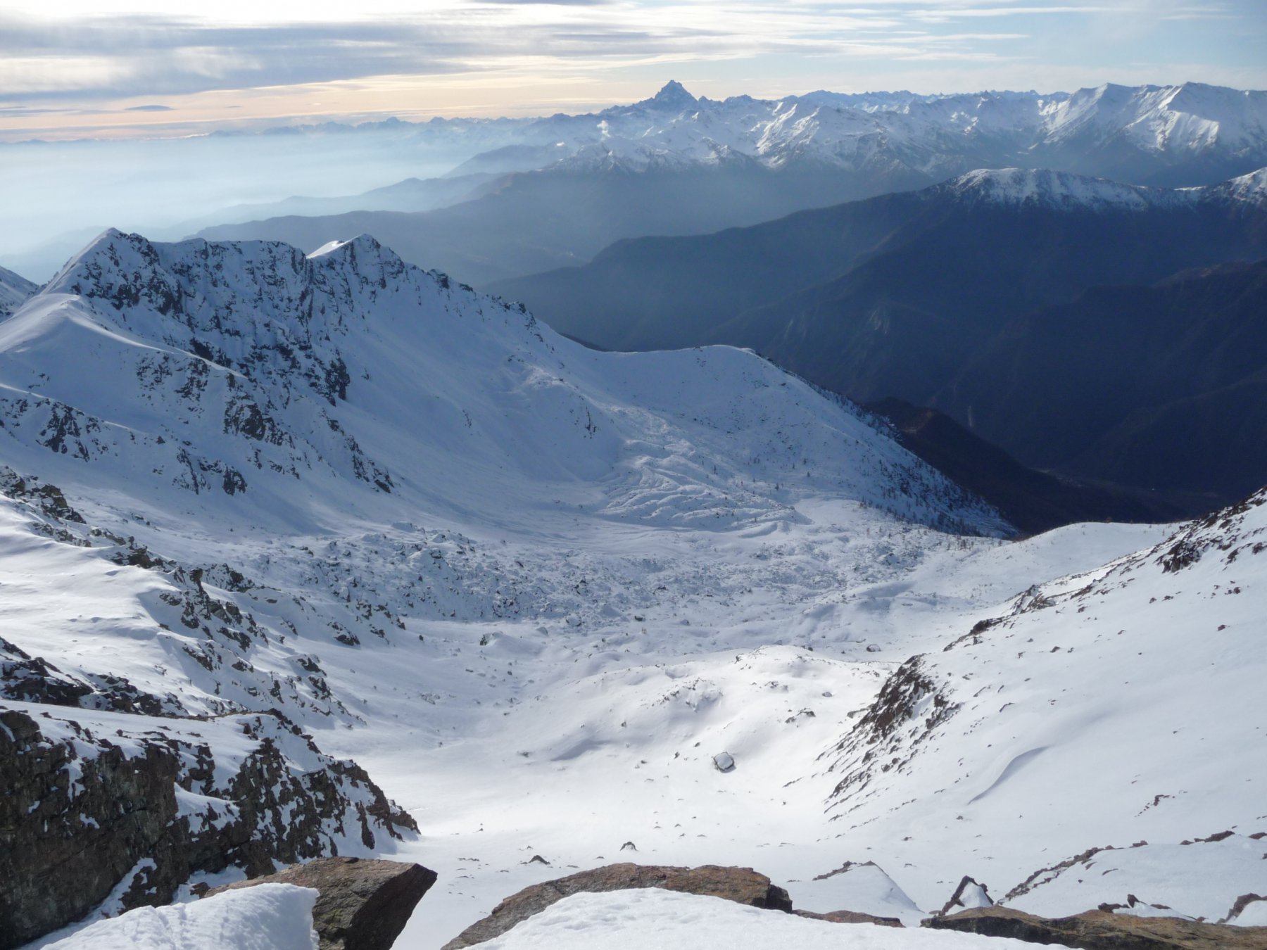
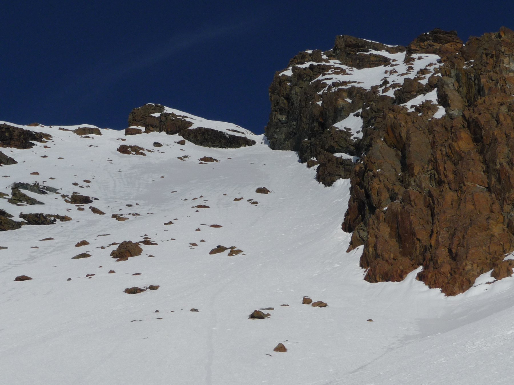
L’itinerario descritto è consigliabile in primavera o in autunni con abbondante precoce innevamento in quota ma assenza quasi totale di copertura nella parte iniziale, sotto i 2000 m, disagevole con neve. Indispensabili piccozza e ramponi per la parte finale.
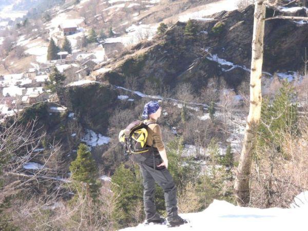
Avvicinamento
,
Descrizione
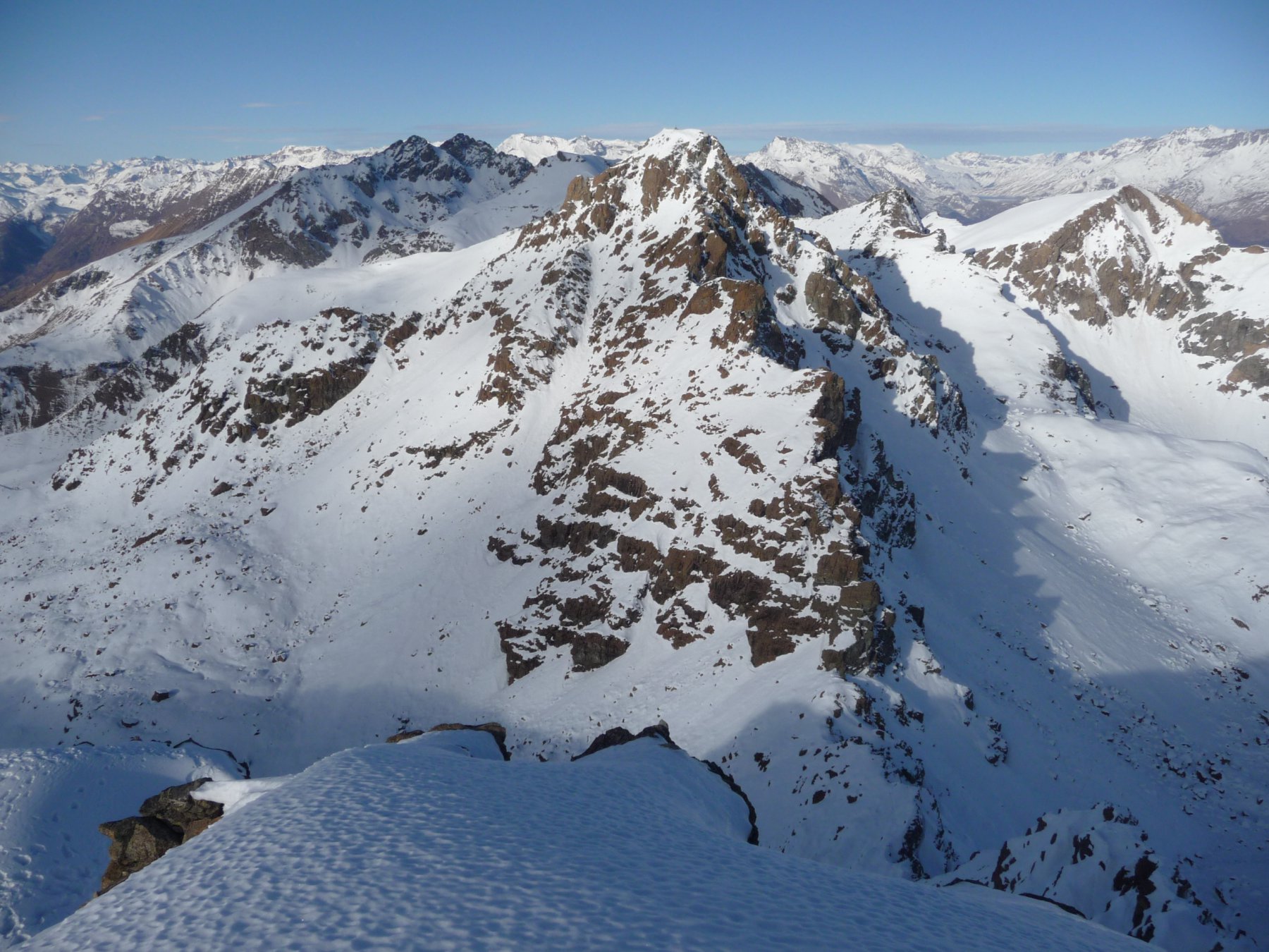
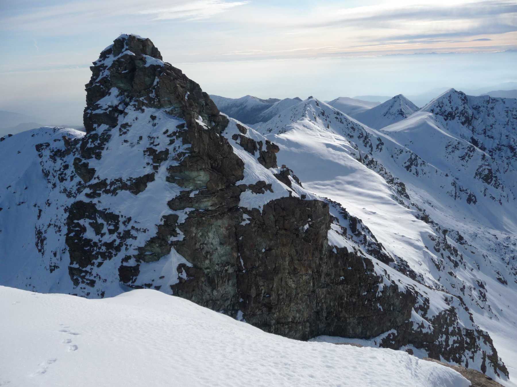
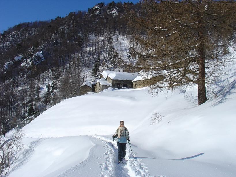
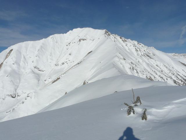
Dalle case di Prato del Colle, raggiungibili da Gran Faetto con strada sterrata a tratti un po’ dissestata, si imbocca il sentiero segnalato che con percorso verso N entra nel vallone Rouen. A quota 1900 m si supera un salto roccioso sfruttando una comoda cengia nella roccia, quindi si esce dal bosco e si raggiungono dei pianori. Si risale il vallone verso SE puntando alla vetta, ormai visibile. A quota 2500 si giunge alla base del versante S del Rocciavrè. Si risale l’ultimo tratto ripido (250 m a 40 gradi) costeggiando sulla sx una nervatura rocciosa che produce una sorta di diedro e puntando al colletto fra le due cime (ultimi metri a oltre 45 gradi, colletto molto esposto). Pochi metri prima del colletto, piegare sx e per ripido pendio sospeso raggiungere la croce della cima occidentale, 5 metri più bassa di quella orientale.
Discesa lungo l’itinerario di salita.
- Cartografia:
- IGC n°1 - 1:50.000 Valli di Susa, Chisone e Germanasca
Nelle vicinanze Mappa
Itinerari
07/03/2018 TO, Roure D+ 462 m MR Sud
Prato del Colle (Frazione) da Gran Faetto, anello per Albournù
 1.9Km
1.9Km
15/12/2018 TO, Roure D+ 1050 m BR Sud
Sabbione (Colle del) da Seleiraut
 2.7Km
2.7Km
06/02/2008 TO, Roure D+ 531 m MR Sud
Seleiraut (Borgata) da Villaretto
 4Km
4Km
18/04/2014 TO, Roure D+ 800 m MR Est
Pertiche (Clot delle) da Chasteiran per la cresta ENE
 5.6Km
5.6Km
15/02/2018 TO, Perrero D+ 607 m MR Sud
Clapier (Col) da Peyrone
 6.8Km
6.8Km
11/03/2026 TO, Perrero D+ 808 m MR Sud
Midi o Muret (Punta) da Peyrone
 6.8Km
6.8Km
08/03/2009 TO, Fenestrelle D+ 500 m MR Sud-Est
Touches (Les) da Mentoulles
 7Km
7Km
01/01/2013 TO, Fenestrelle D+ 1200 m BR Sud-Est
Gavia (Punta della) da Pra Catinat per il Rifugio Selleries e il Colle del Sabbione
 8.2Km
8.2Km
14/01/2024 TO, Fenestrelle D+ 559 m BR Sud
Laus (Lago e Bivacco) da Prà Catinat
 8.2Km
8.2Km
10/01/2020 TO, Fenestrelle D+ 365 m MR Varie
Selleries (Rifugio) da Prà Catinat
 8.2Km
8.2Km