750m
750m
Note
 0m
50m
3.7Km
4.8Km
4.8Km
4.9Km
7.8Km
7.8Km
7.8Km
0m
50m
3.7Km
4.8Km
4.8Km
4.9Km
7.8Km
7.8Km
7.8Km
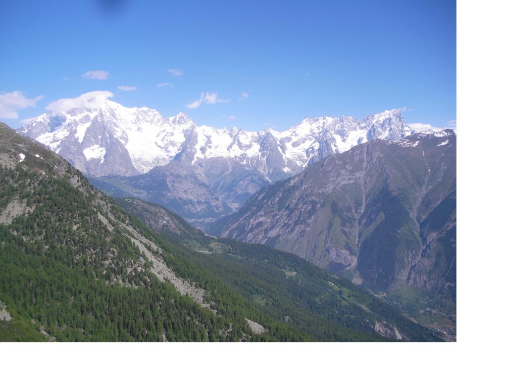
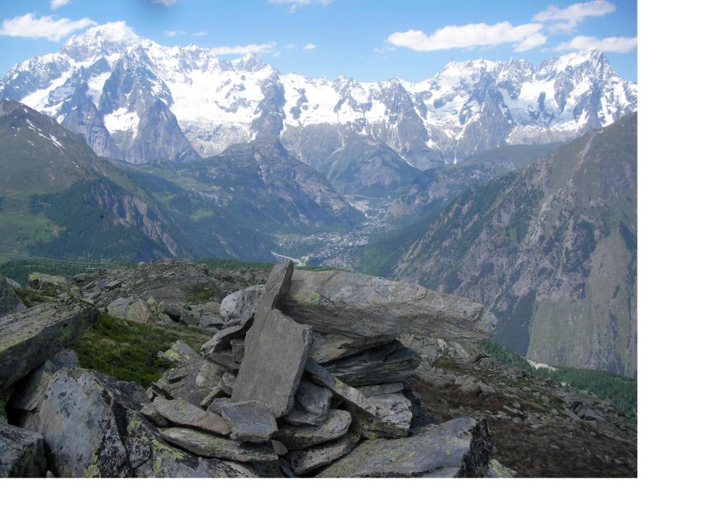
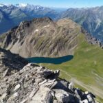
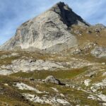
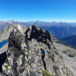
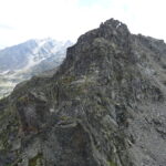
Gita dove per lunghi tratti si cammina su terreno privo di sentieri e dove sovente e' ricchiesto l'uso delle mani per l'equilibrio.Meritevole gia' solo per il panorama che si puo' ammirare sull'intera percorso sui monti della Valle d'Aosta
Avvicinamento
La Joux di poco a monte di Lazey raggiungibile da La Salle per strada sterrata il cui transito è vietato ai veicoli non autorizzati.
Descrizione
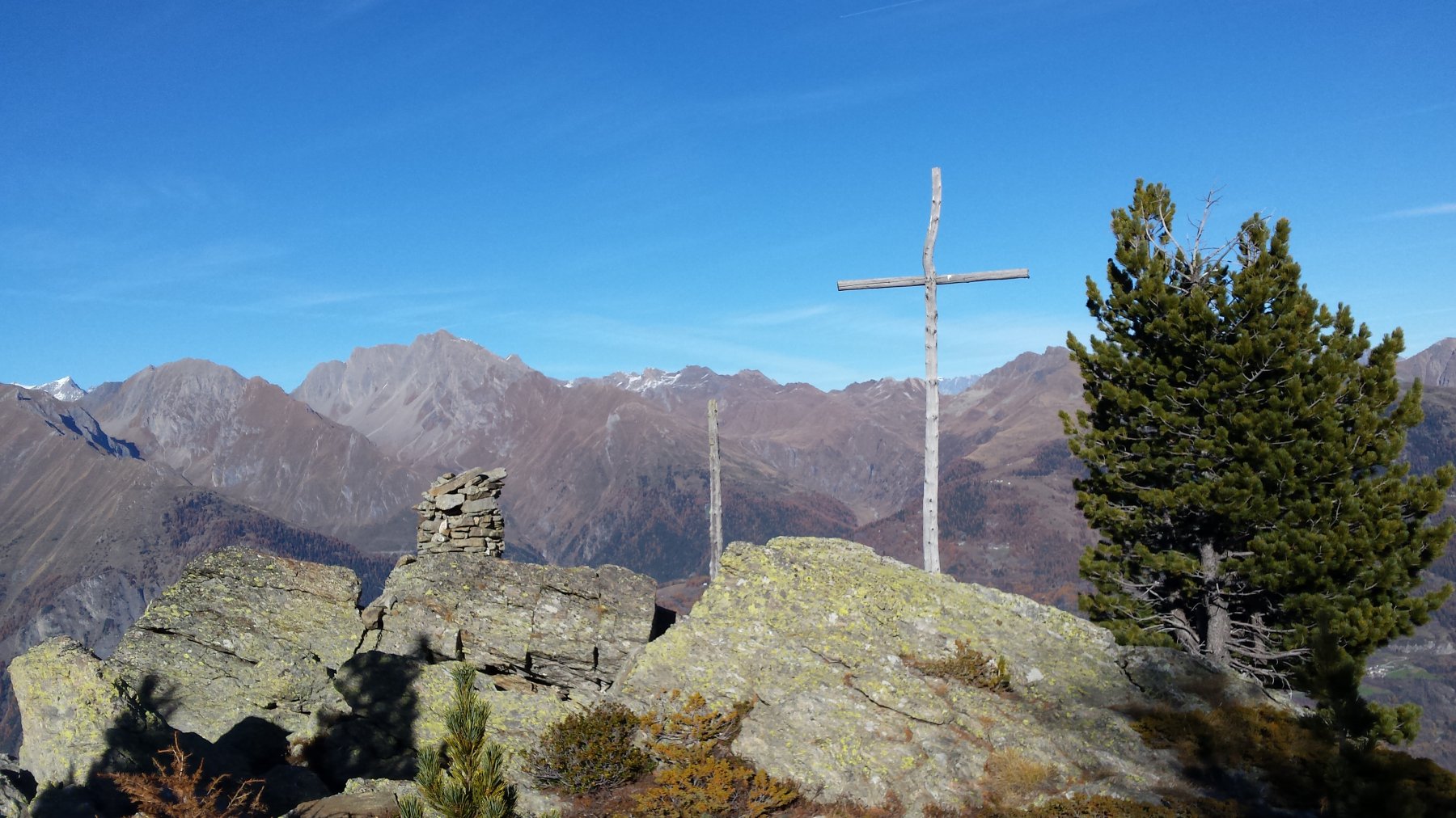
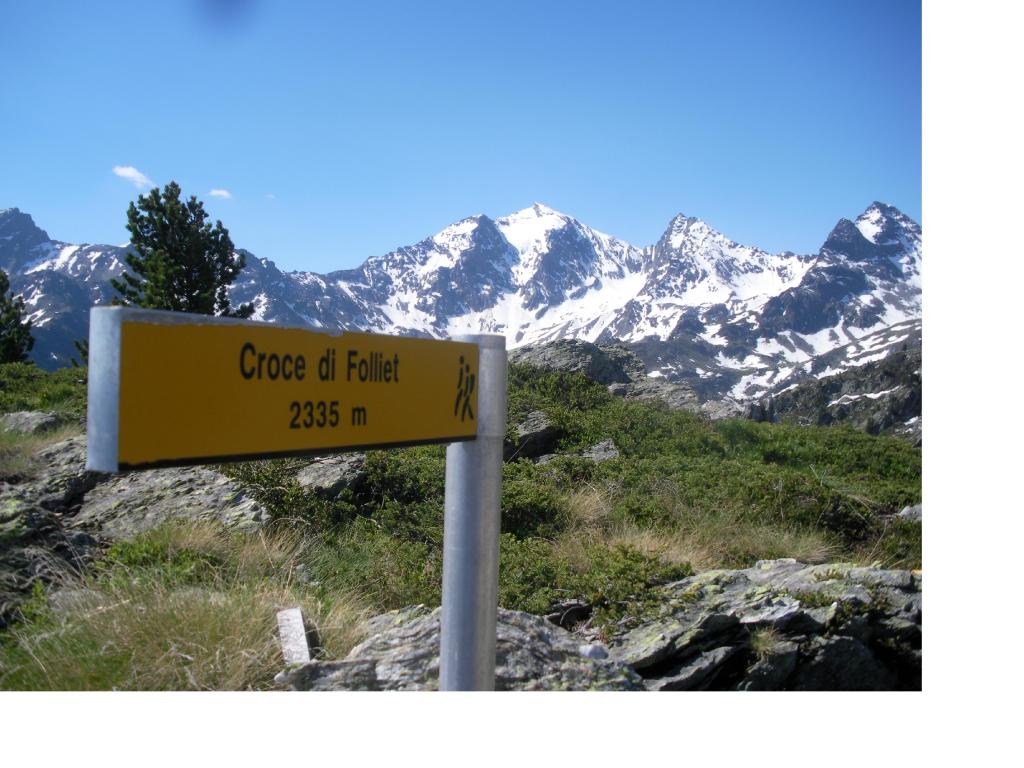
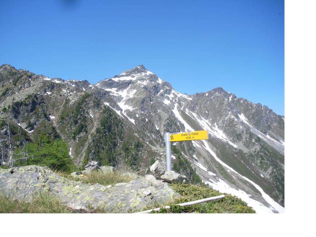
Da La Joux fin poco oltre l’abitato di Chabodey, e prendere il sentiero n.11 per il passo d’Ameran. Dopo circa un km a un bivio, prendere a dx un secondo sentiero meno evidente del primo che in direzione nord porta in un paio d’ore alla Croce Folliet.
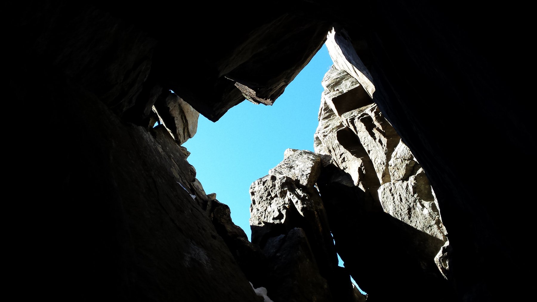
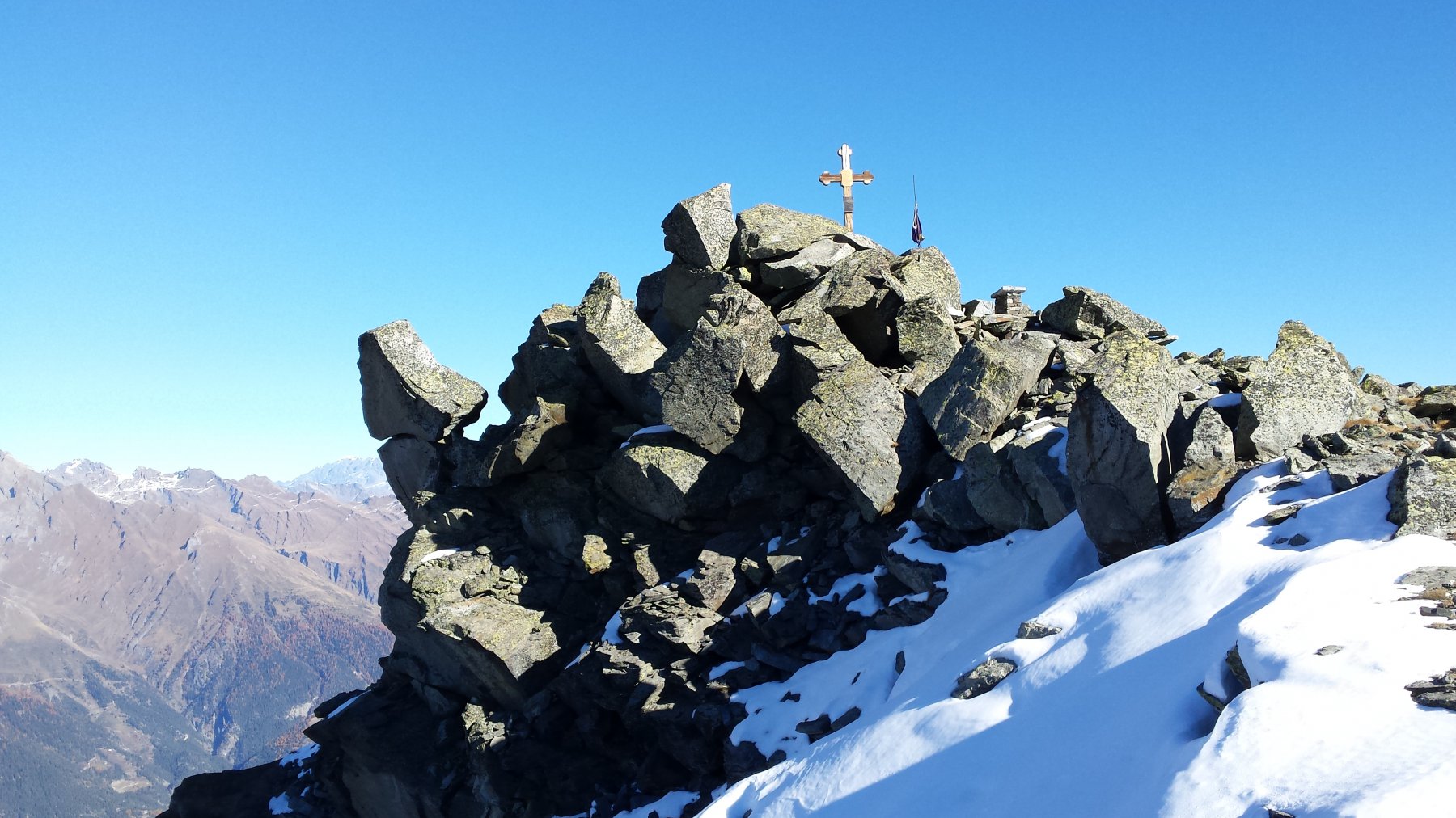
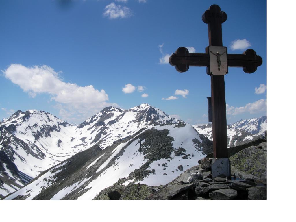
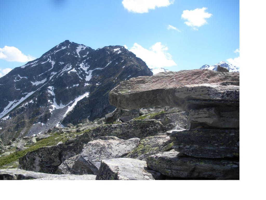
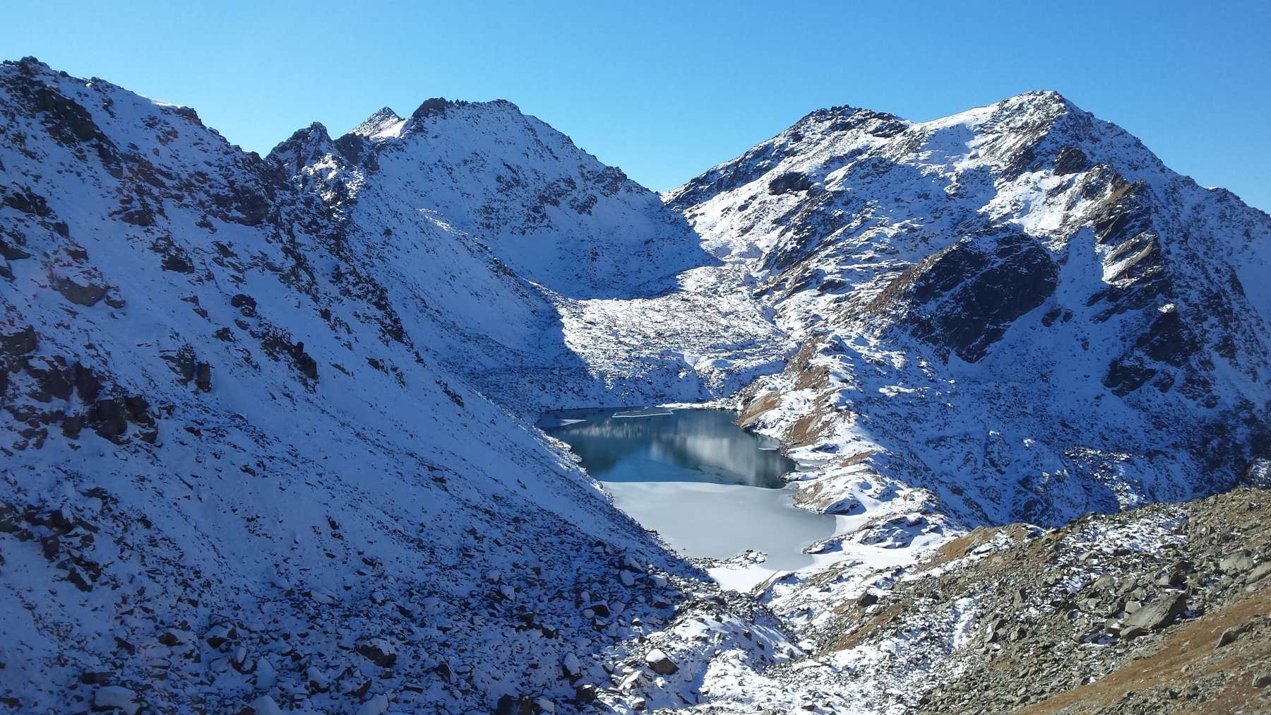
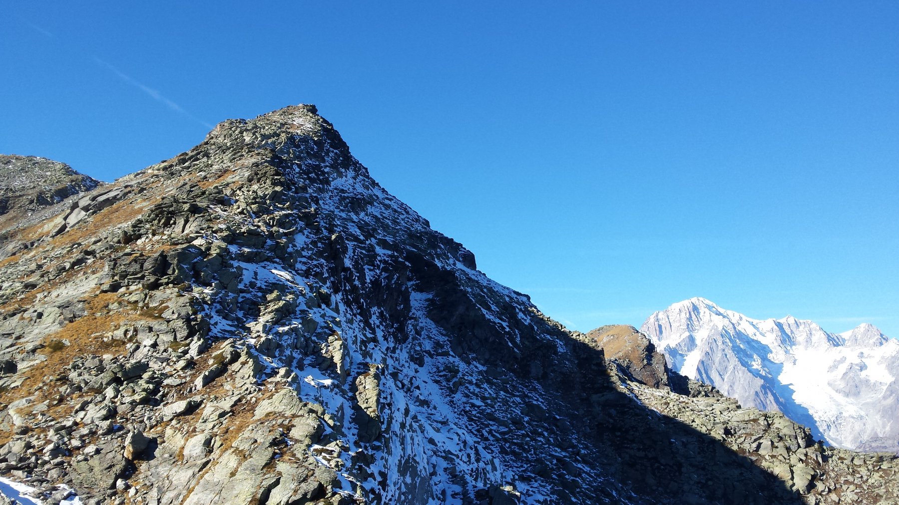
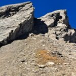
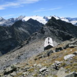
Si rimane in cresta scendendo su tracce ad una sella dalla quale procedendo verso ovest su cresta di sfasciumi con pendenza costante porta fino alla vetta.(ore1). Il tratto di cresta che in direzione nord degrada fino alla sommita’ del piu’ basso M.Charvet richiede attenzione per la presenza di salti improvvisi facilmente aggirabili sia a ovest (lato Arpy) che a est (1h30). Dal M.Charvet su tracce di sentiero n.13 poco evidente almeno fino alle baite di Pian Rancon si divalla rimanendo sul greto del torrente fino a reperire il bel sentiero con il n.12 (cartelli gialli segnavia in una radura), che in traverso consente di chiudere il giro ad anello ritornando a La Joux (2h).
Nelle vicinanze Mappa
Itinerari
07/09/2024 AO, La Salle D+ 2700 m F Varie
Paramont (Becca Bianca del) da Chabodey per il Passo Alto
 0m
0m
15/08/2011 AO, La Salle D+ 2500 m F+ Nord
Paramont (Mont) da Chabodey per il Passo Alto
0m
11/09/2025 AO, La Salle D+ 2157 m F Varie
Paramont (Testa del) da Chabodey per il Passo Alto
 50m
50m
12/07/2019 AO, La Salle D+ 767 m AD Nord-Est
Tor (Becca della) Via Abandonnée
 3.7Km
3.7Km
11/07/2022 AO, La Salle D+ 1400 m F Sud
Chambave (Aiguille de) traversata creste NO-SE da Planaval
 4.8Km
4.8Km
20/09/2025 AO, La Salle D+ 1392 m F+ Varie
Malatrà (Aiguille de) traversata dall’Aiguille d’Artanavaz
 4.8Km
4.8Km
11/10/2025 AO, La Salle D+ 1451 m F+ Sud-Ovest
Bonalè o Bonalex (Aiguille de) Via Normale da Planaval
 4.9Km
4.9Km
07/09/2025 AO, Morgex D+ 1100 m F Varie
Colmet (Mont) dal Colle San Carlo per la cresta NO
 7.8Km
7.8Km
10/07/2022 AO, Morgex D+ 1200 m PD+ Est
Lusse (Mont) quota 2880 m – Cresta Est
 7.8Km
7.8Km
07/08/2022 AO, Morgex D+ 900 m AD Varie
Ameran (Denti d’) – Punta del Lago traversata
 7.8Km
7.8Km