2.2Km
2.2Km
Note
 0m
0m
0m
0m
0m
0m
50m
0m
0m
0m
0m
0m
0m
50m
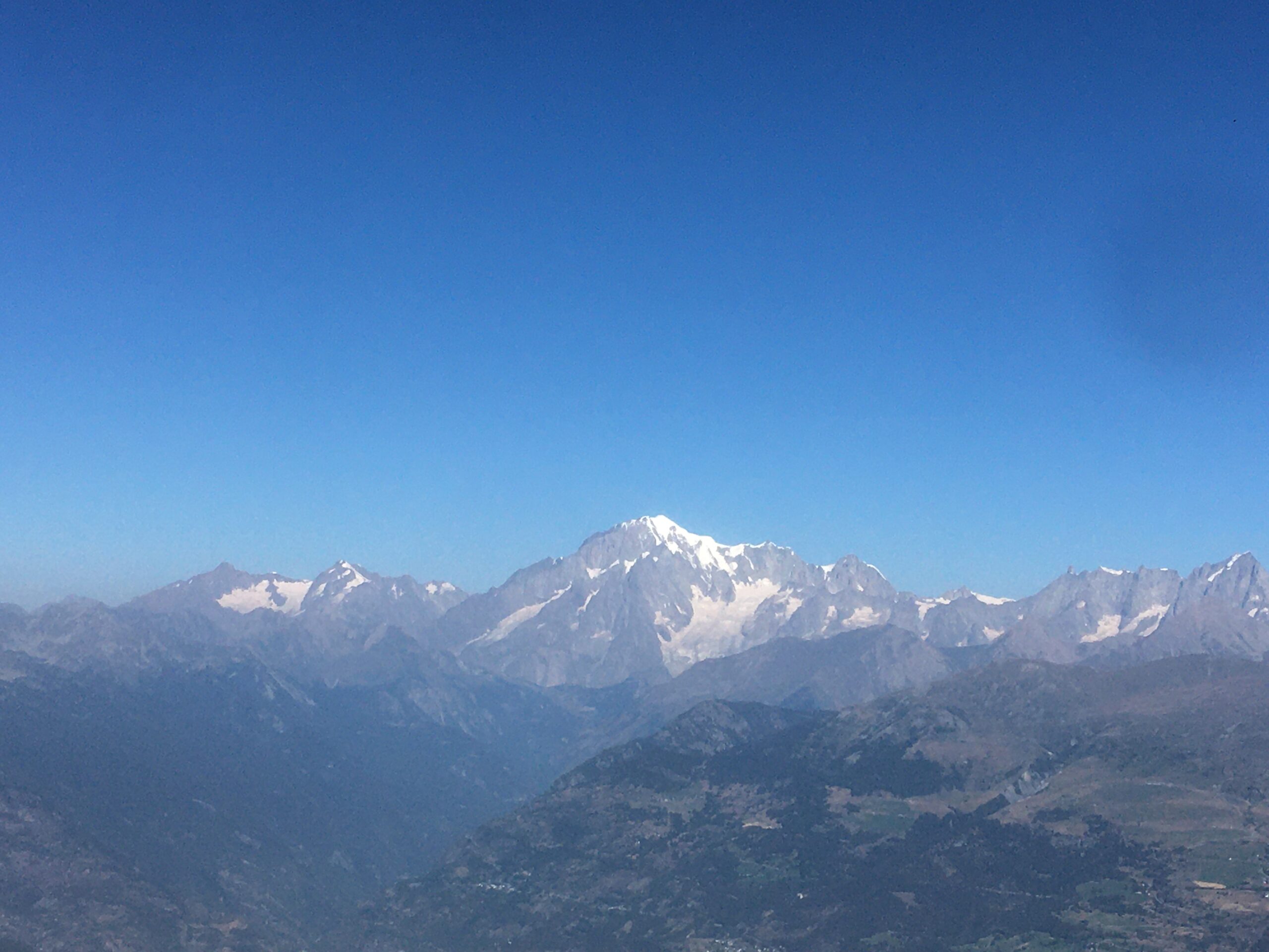
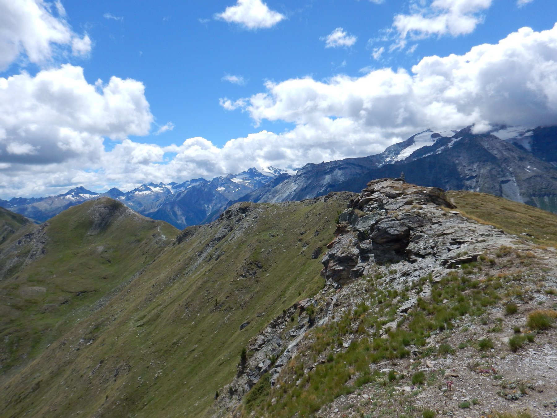
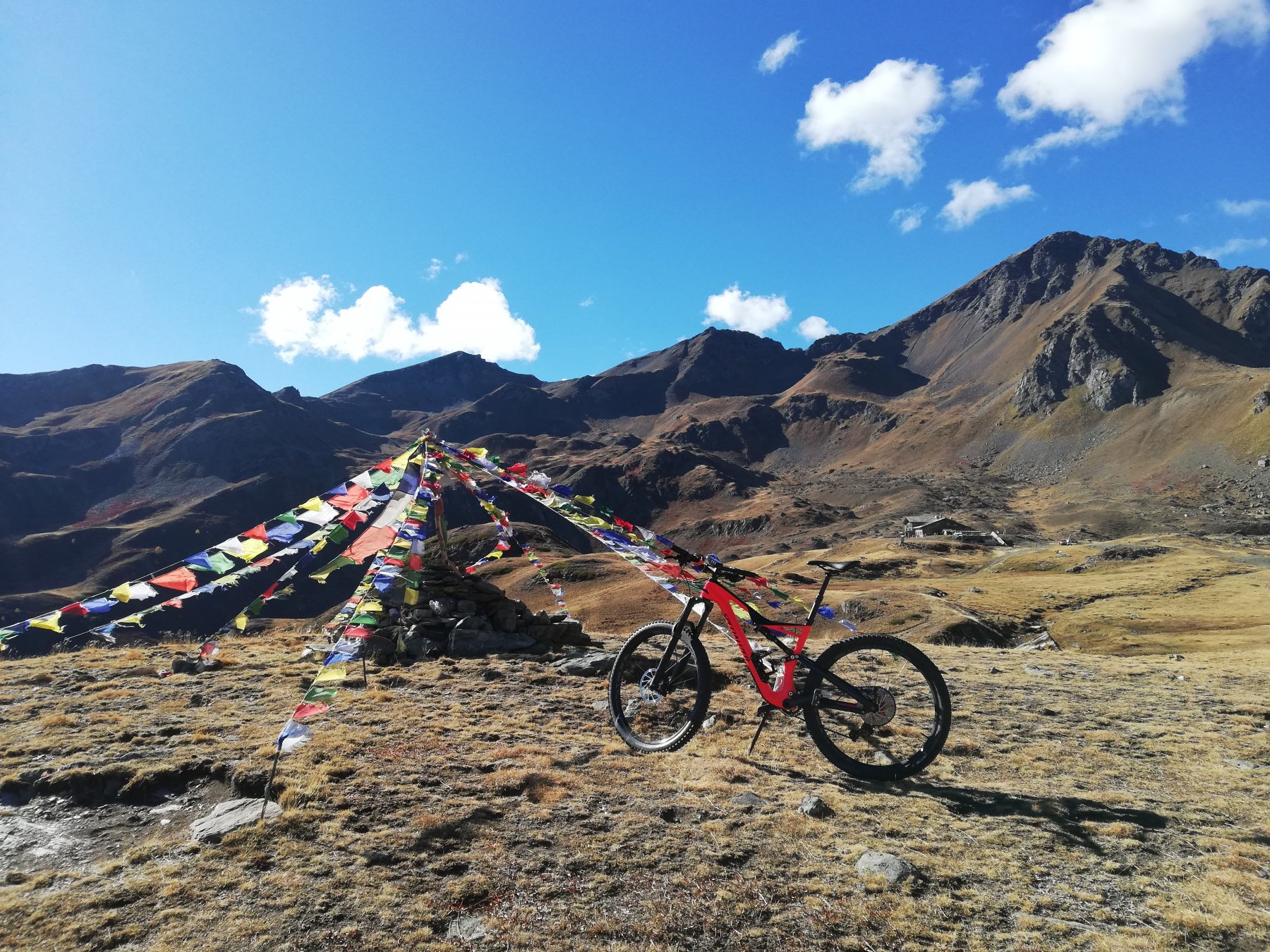
Giro molto panoramico con parecchio "portage".
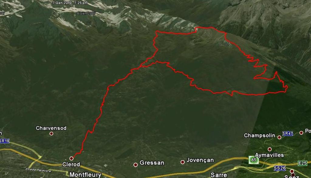
Avvicinamento
Usando la comodissima funivia da Aosta (3 euro compresa bici) salire a Pila a 1750m risparmiando 1200m di salita
Descrizione
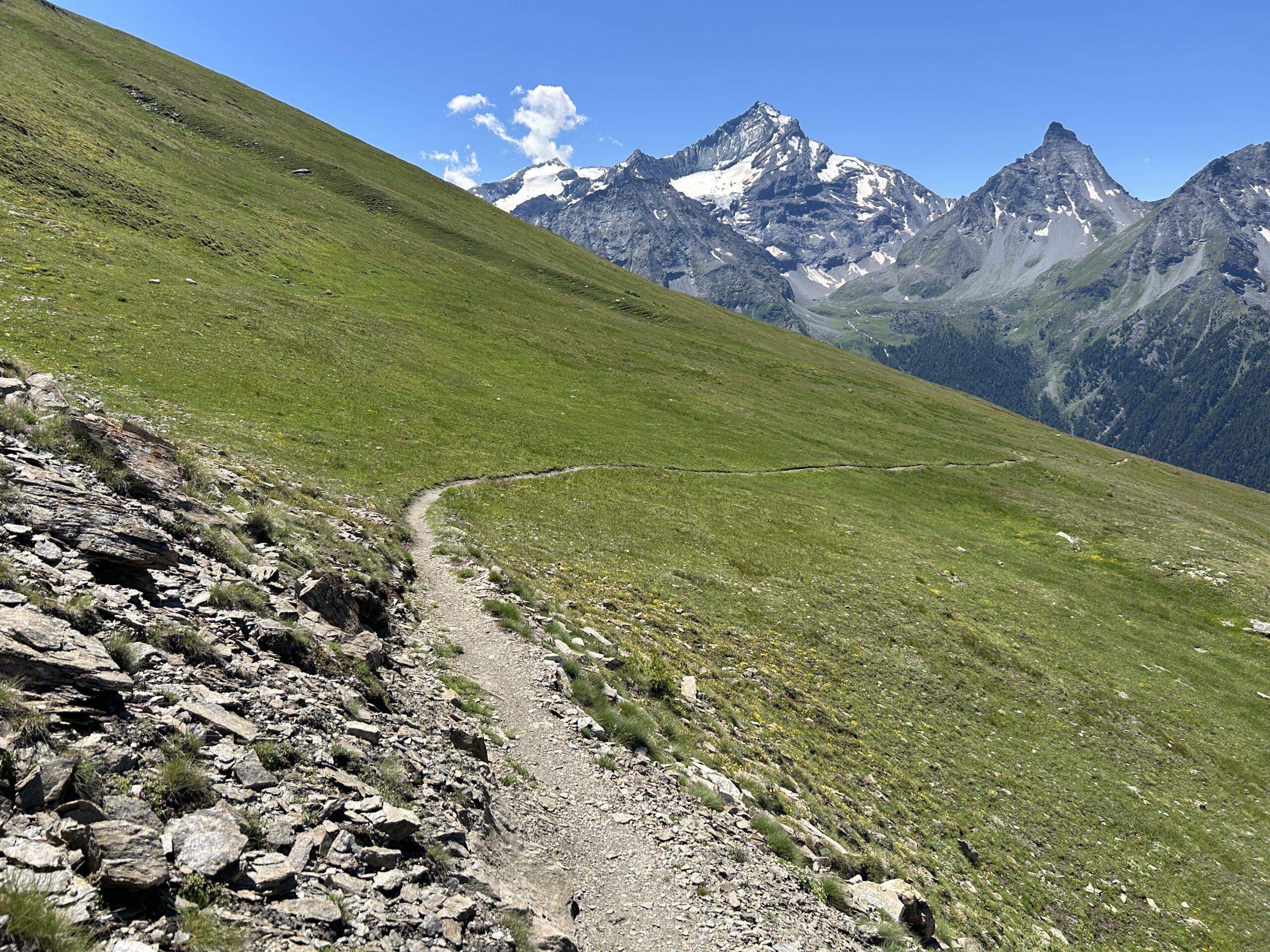
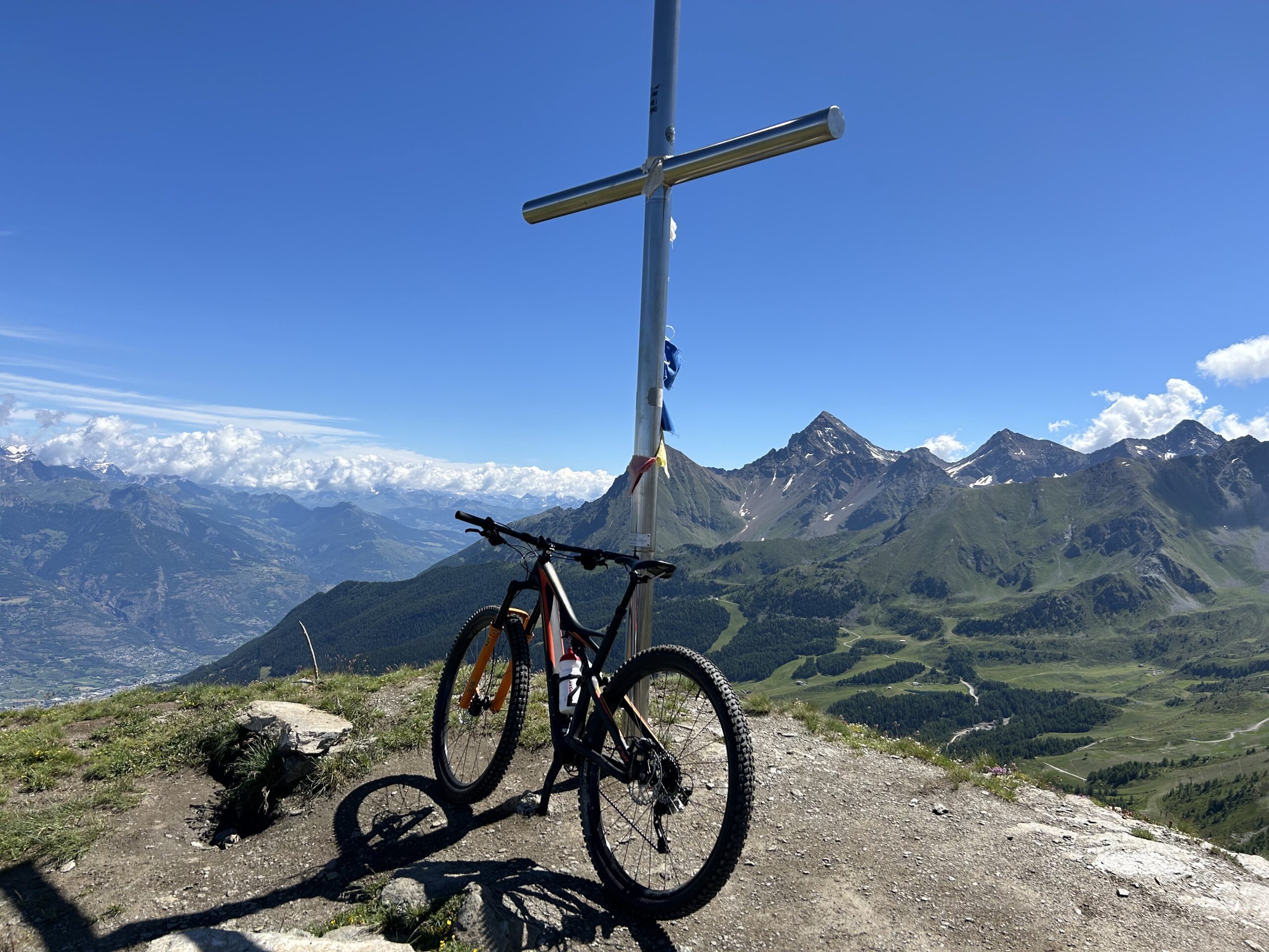
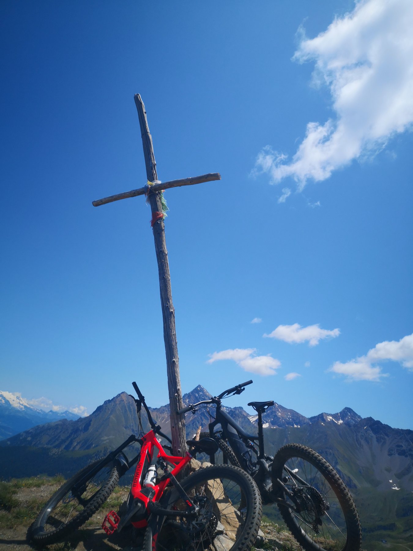
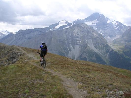
Per interpoderale e poco asfalto scendere a Ozein (1450m) e risalire su ottimo sterrato fino all’ alpeggio di Champchenille a 2200m; qui resta poco da pedalare e con pazienza spingere sino in vetta alla cima sci-alpinistica più nota della valle: punta De la Pierre a 2650m.
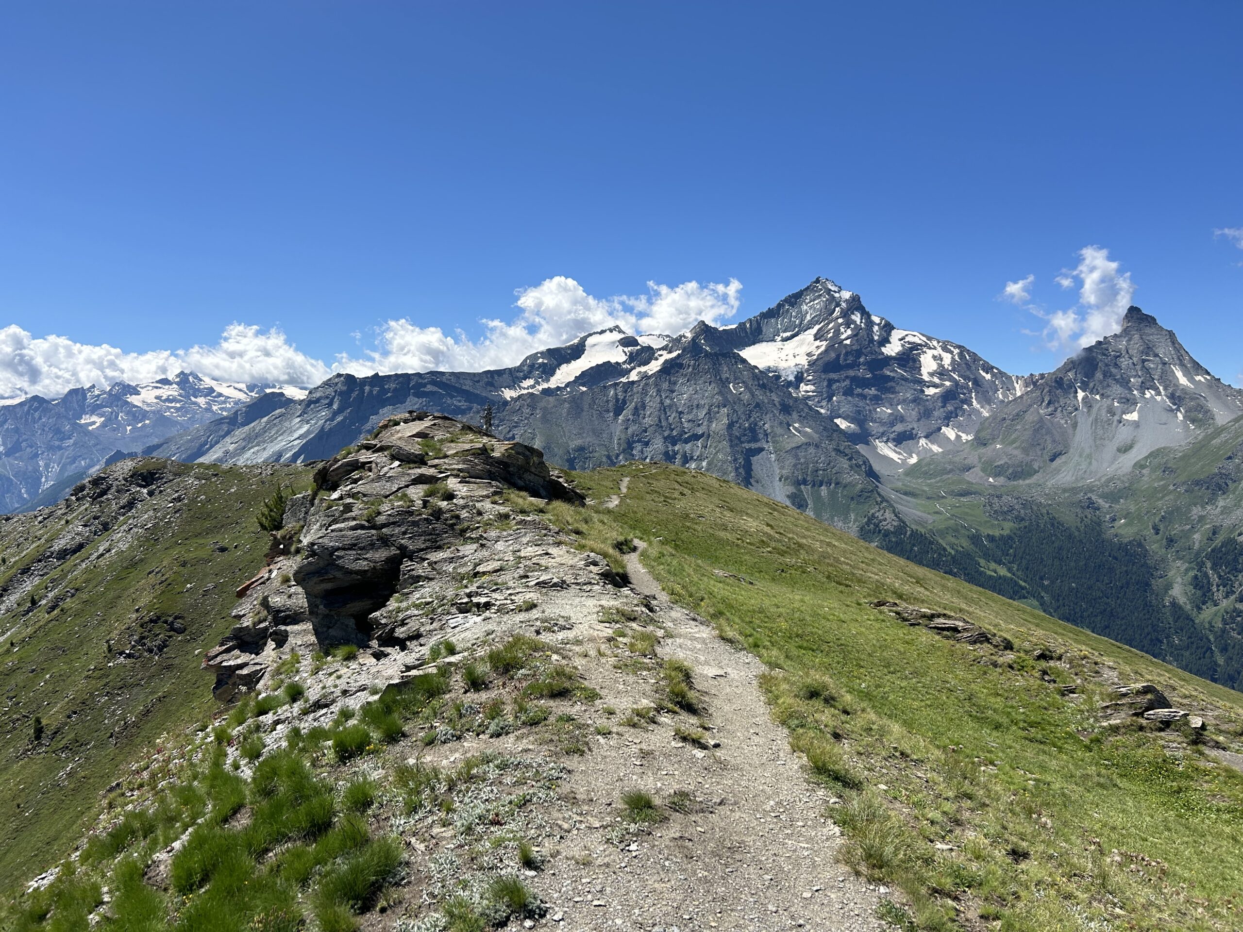
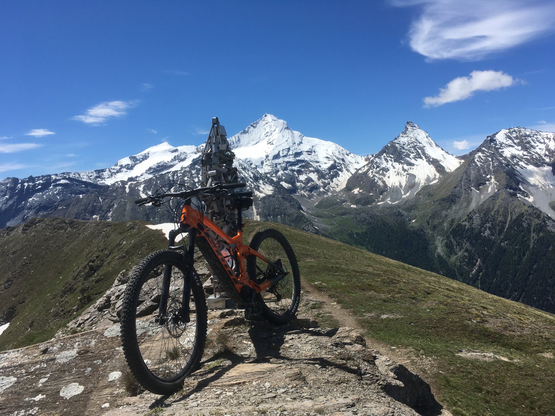
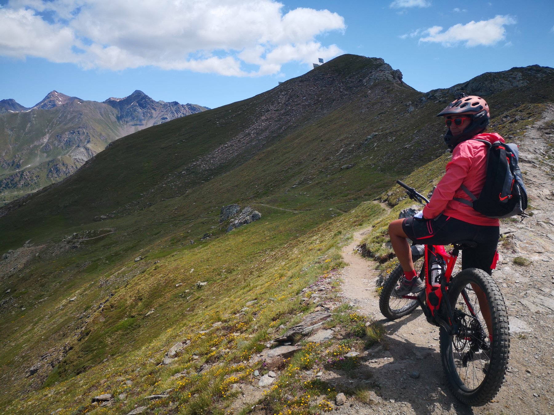
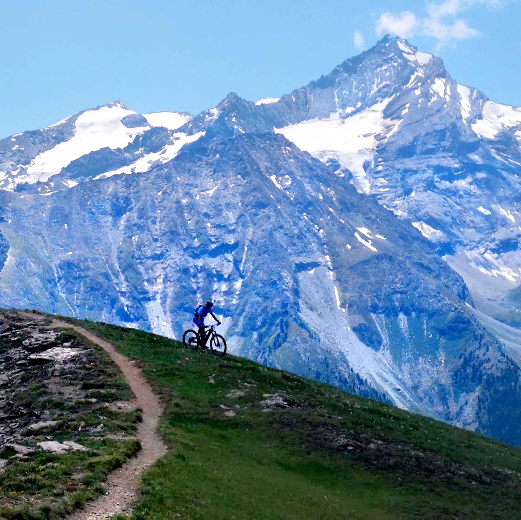
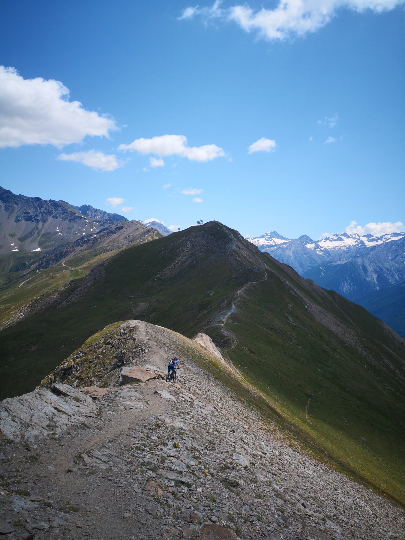
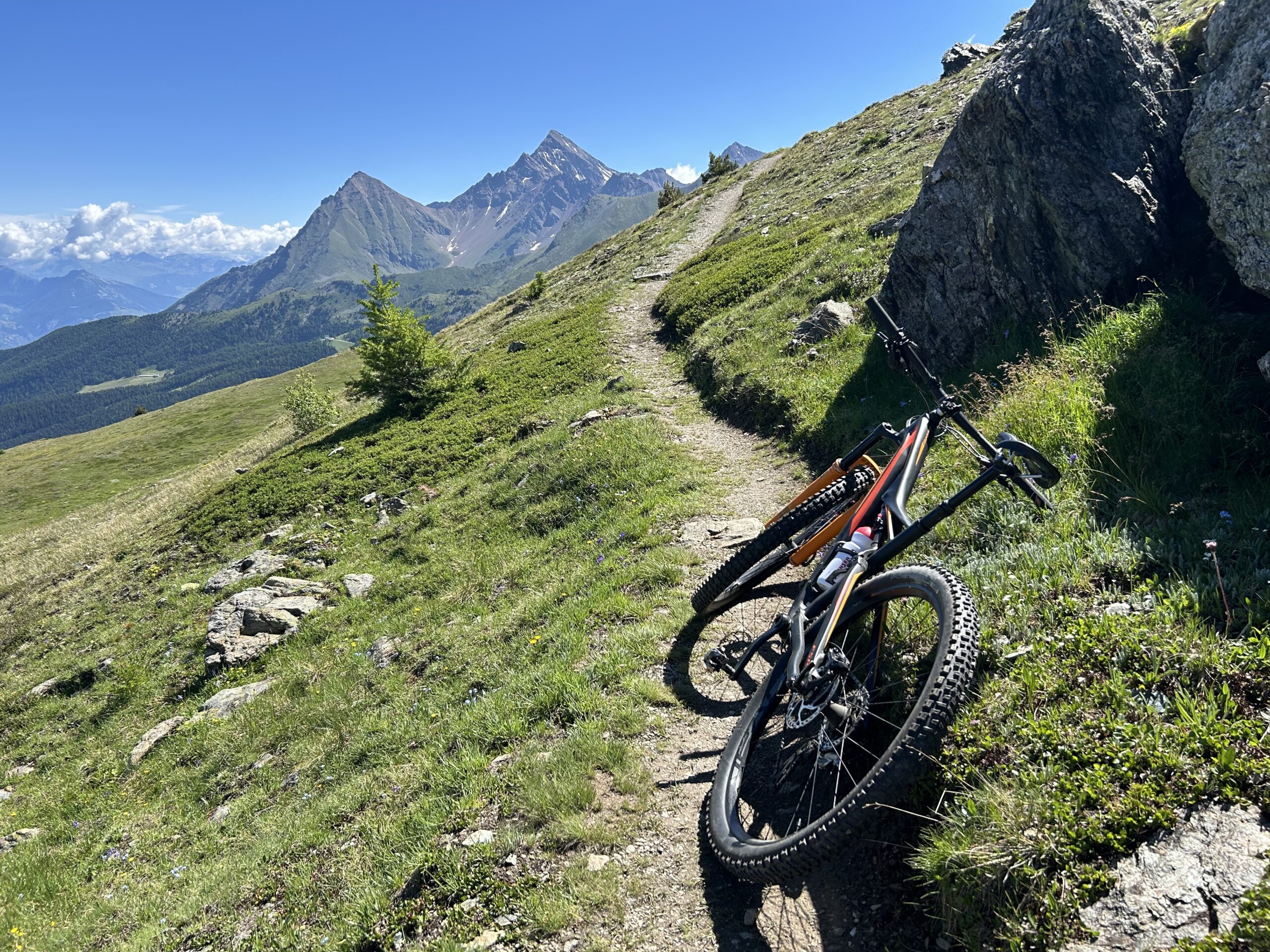
Puntare verso sud sulla cresta che divide Pila dalla valle di Cogne e raggiungere il Col du Drinc da dove i sentieri riportano verso gli impianti di risalita e le tante strade di servizio consentono di spaziare per il comprensorio invernale.
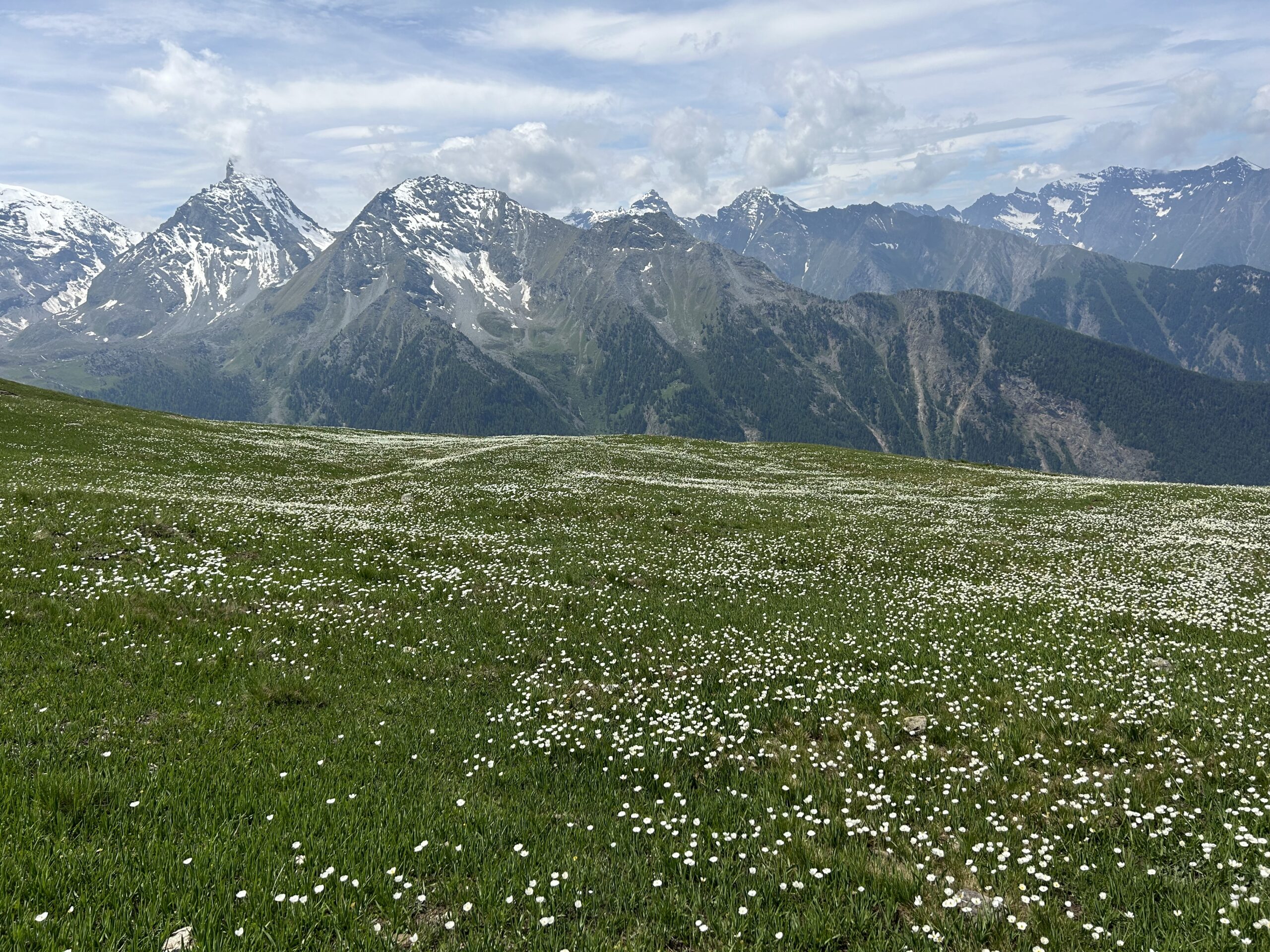
Per sentieri e prati spostarsi fino a Pian de l’ Eyvie e poi giu diretti prima a Pila e poi, per i terrificanti percorsi downhill sino ad Aosta.
- Cartografia:
- L'escursionista Editore - Aosta-Pila-Monte Emilius
Nelle vicinanze Mappa
Itinerari
15/08/2013 AO, Aosta D+ 750 m TC, MC, S1 Varie
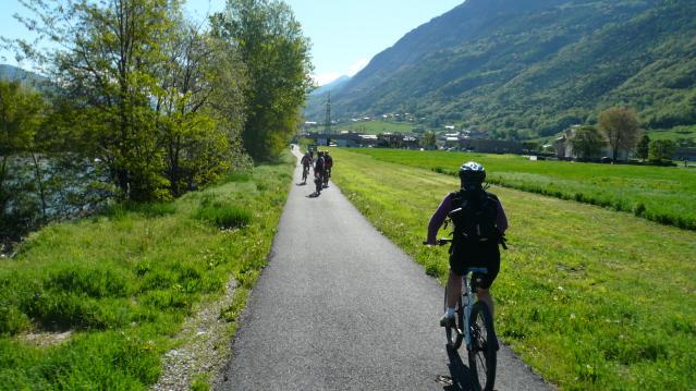
Pista Ciclabile Dora Baltea da Aosta a Verres
 0m
0m
02/08/2011 AO, Aosta OC+, OC+, S4 Tutte
Saint Marcel, Lauson, Entrelor, Fenetre, Chavannes (Colli) da Aosta, traversata a Courmayeur (3 gg)
0m
28/07/2024 AO, Aosta D+ 1700 m MC, MC+, S0 Sud-Ovest
Prarayer (Rifugio) e Diga di Place Moulin da Aosta per la Valpelline
0m
28/06/2014 AO, Aosta D+ 1000 m BC+, BC, S1 Sud
Valseinte (Baite di) da Aosta, giro del castello di Quart
0m
05/11/2020 AO, Aosta D+ 2000 m BC, OC, S2 Tutte
Metz (Pointe de) da Aosta, anello
 0m
0m
29/09/2018 AO, Aosta D+ 2200 m BC+, OC, S3 Tutte
Vertosan (Mont) da Aosta, giro per il vallone di Flassin
 0m
0m
28/08/2022 AO, Aosta D+ 2465 m OC, OC, S3 Tutte
Vessona o Vessonaz (Colle) da Aosta, giro per Saint Barthelemy
 0m
0m
13/07/2013 AO, Aosta D+ 950 m MC, MC, S0 Varie
Pista Ciclabile Dora Baltea da Aosta a Ivrea
 0m
0m
01/09/2019 AO, Aosta D+ 1000 m BC, BC, S1 Tutte
GIT – Grand Italian Trail da Aosta a Barge
 0m
0m
17/08/2019 AO, Quart D+ 2125 m OC, OC, S3 Varie
Malatrà (Colle) da Aosta, traversata Rifugio Frassati-ifugio Bonatti (2 gg)
 50m
50m