4Km
4Km
Note
 50m
2.2Km
2.9Km
3.5Km
3.6Km
3.6Km
3.6Km
3.6Km
50m
2.2Km
2.9Km
3.5Km
3.6Km
3.6Km
3.6Km
3.6Km
4Km
4.5Km
4.6Km
7.2Km
7.6Km
8Km
8Km
8.6Km
8.7Km
9.2Km
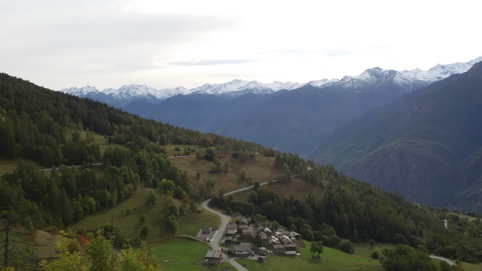
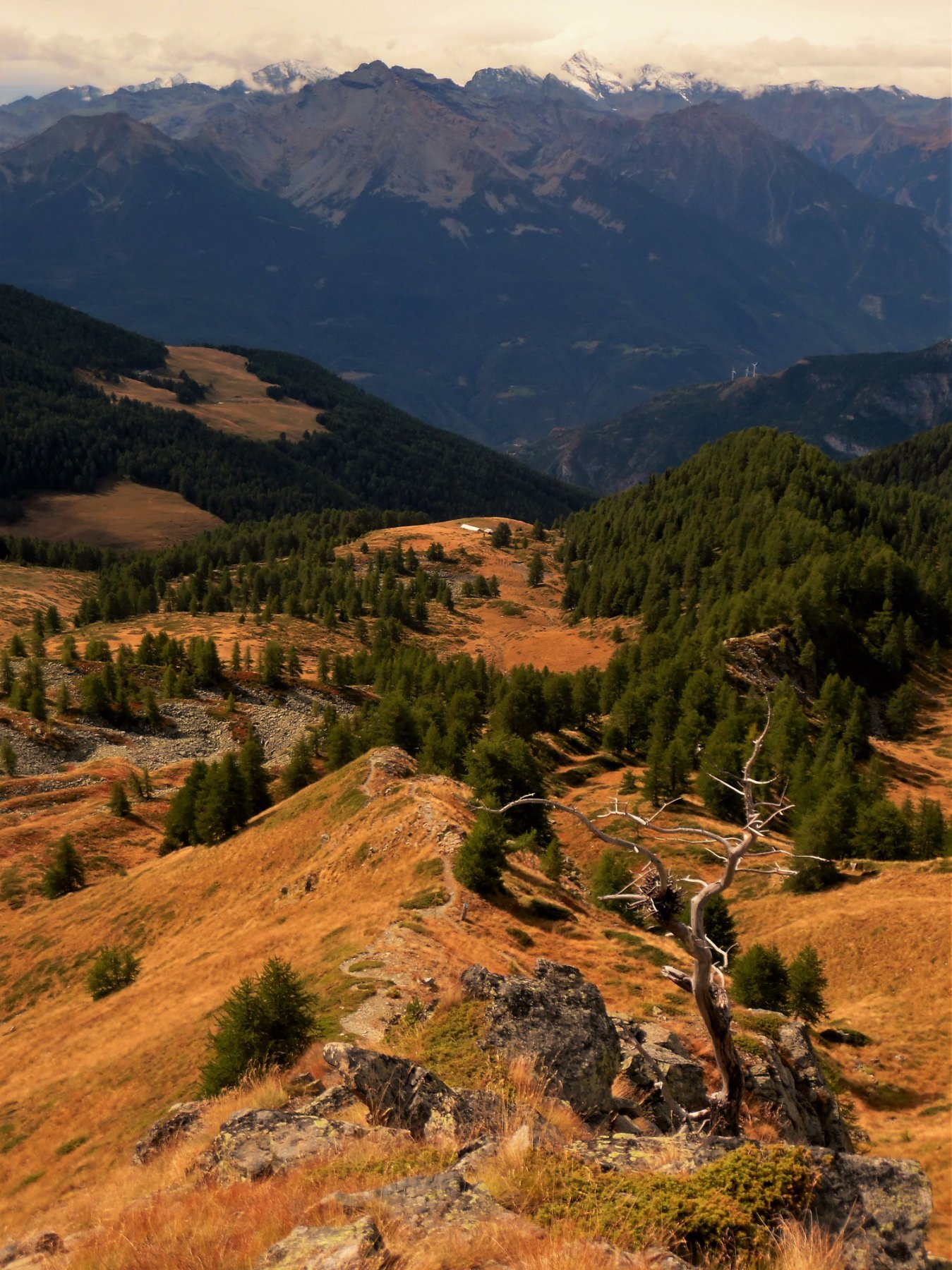
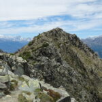
Pur toccando quote modeste, l’itinerario offre vedute notevoli sul fondovalle e sulle prospicienti vette di Barbeston e Lyan oltreche’ su Zerbion, Jetire e Cima Botta. E’ inoltre molto vario, alternando vastissime zone pascolive al fitto bosco di conifere e a borgate poste in splendida posizione solatia. Buona parte di esso si svolge sul tracciato del Trail “Sentieri e Luoghi della Memoria”.
Avvicinamento
A5 uscita Verres, proseguire sulla SS26 in direzione Aosta, svoltare al bivio per il centro di Saint Vincent appena superate le curve di Montjovet e parcheggiare nella piazzetta brigata Monte Cervino o negli spazi a lato della strada poco prima della piazza.
Descrizione
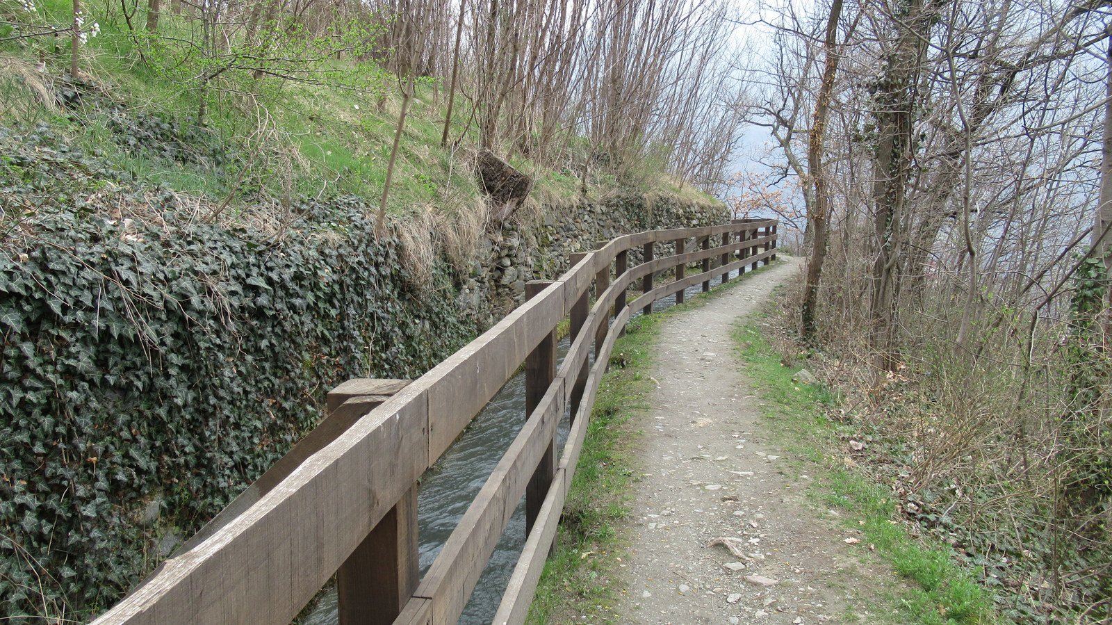
Dal parcheggio ci si dirige verso il centro della cittadina reperendo in breve i segnavia della Via Francigena e li si segue in direzione Chatillon. Si risale la Via Battaglione Aosta e si prosegue a lato dello storico Ru de la Plaine. Si continua sulla Francigena sino a quando incrocia la Rue de Tromen, in quel punto il Ru de la Plaine confluisce nuovamente nella Francigena, si volge allora a destra imboccando il percorso sul Ru (svolta di 180 gradi) e si gira poi a sinistra alla prima stradina asfaltata che si incontra.
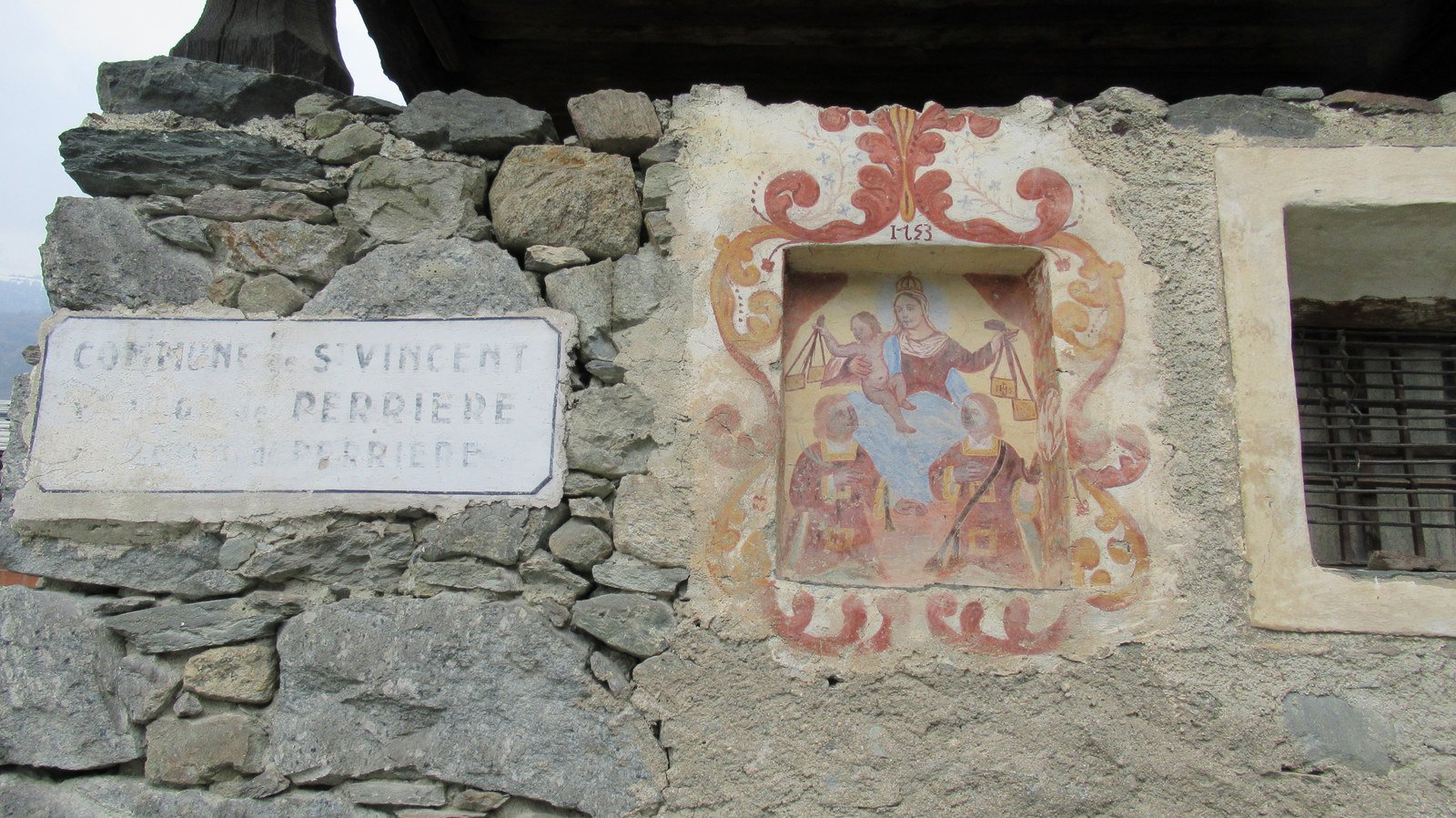
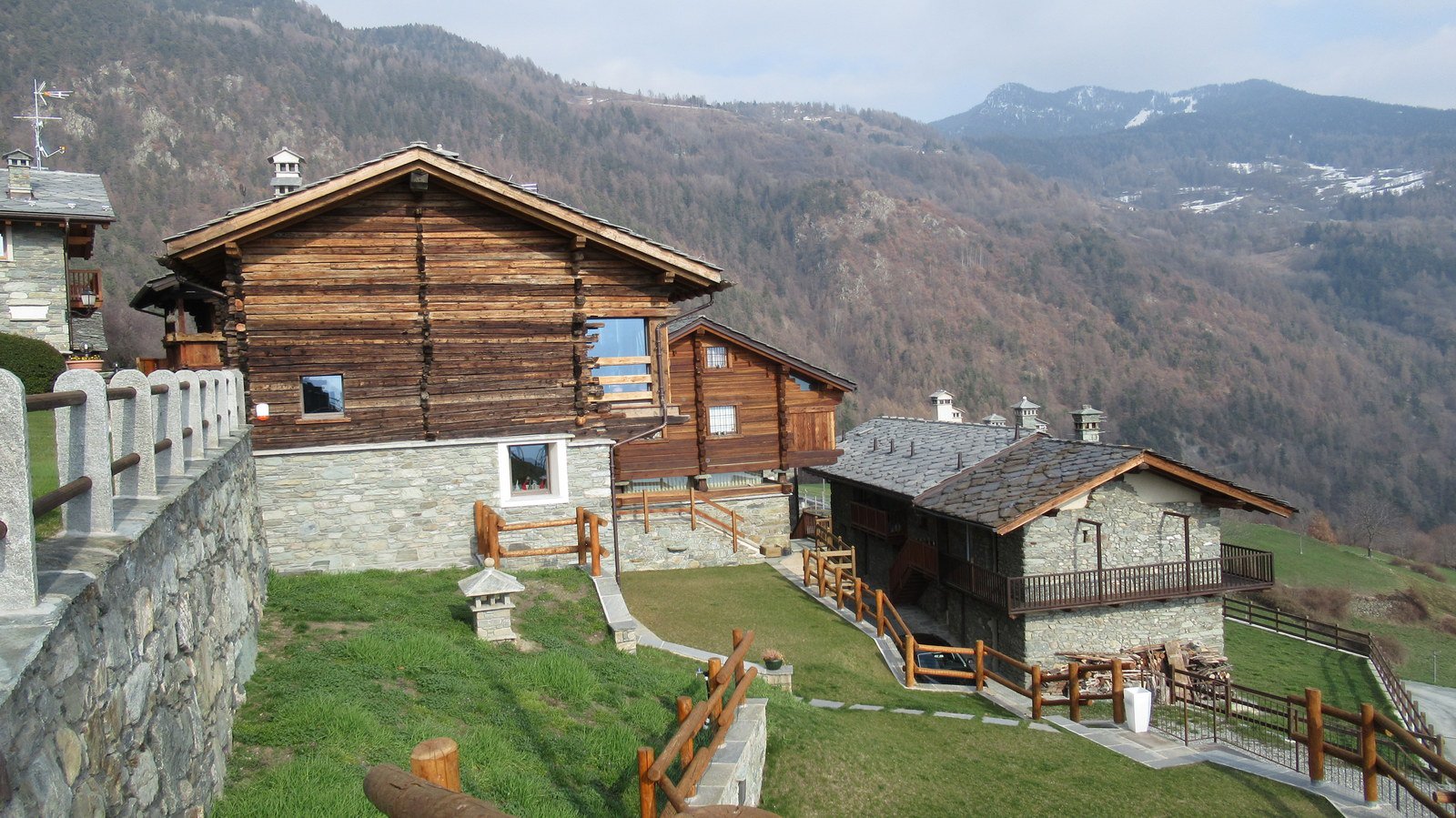
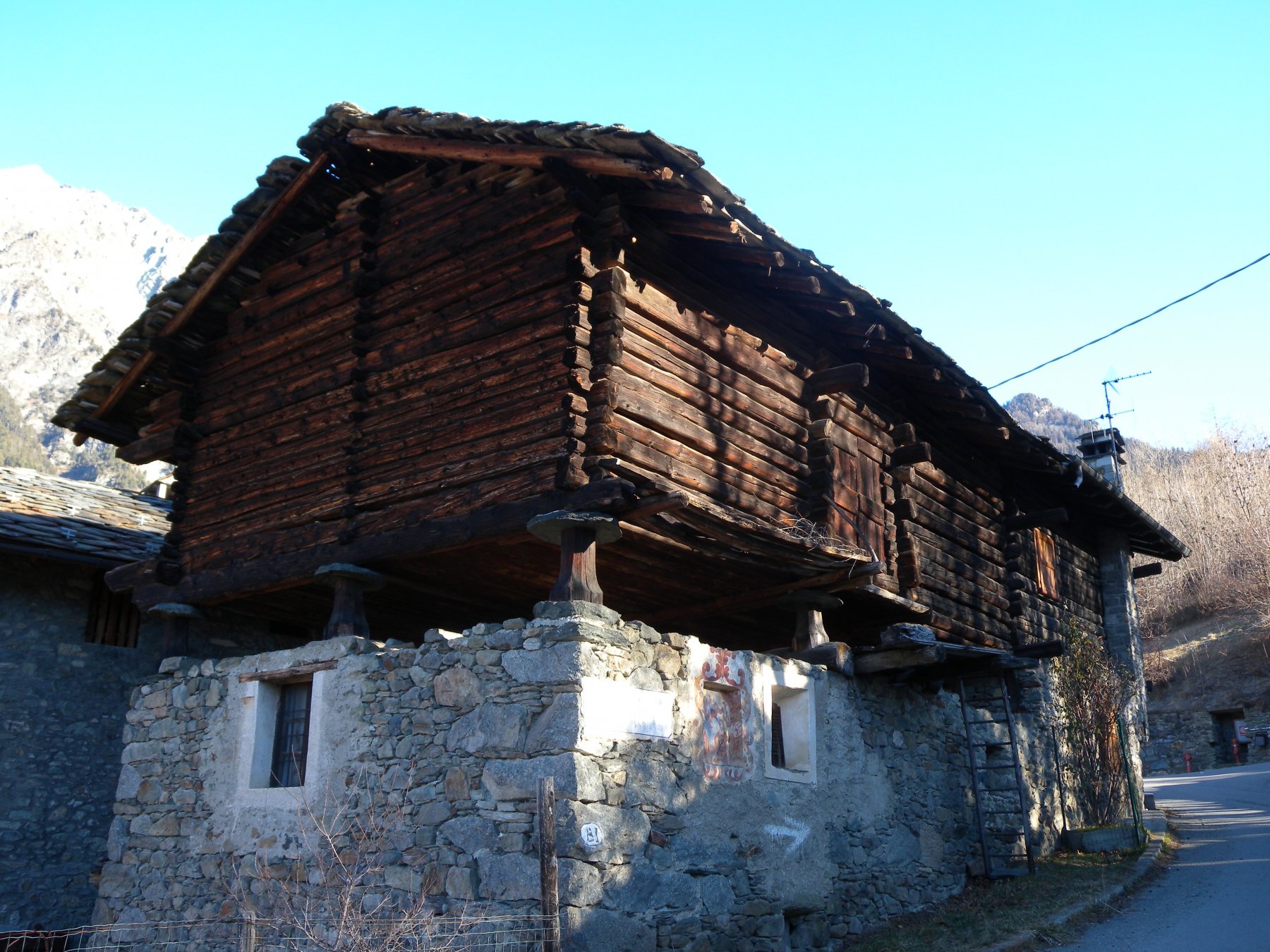
Poco oltre, sulla sinistra (nei pressi di una casa attualmente in costruzione) si trova la prima palina che indica il sentiero n. 1 per la Cappella dei Partigiani. La stradina diviene sentiero e poi mulattiera lastricata. Si trascura il bivio con il sentiero n.5, si passa poi accanto ad un bel pilone votivo e al bivio con il sentiero 2 (paline), si continua a sinistra sino alle case di Diseille (frecce, bolli gialli e paline oltreche’ le indicazioni “SLM” del Trail Sentieri e Luoghi della Memoria indicano la via). Si prosegue a destra su asfalto e in breve si ritrova il percorso sulla sinistra che ora sale per pista agricola oltre le case. Ad un bivio non segnalato, lasciare a sinistra una sterrata e salire a destra. Si raggiunge una cascina e poco oltre l’abitato di Perriere (bell’esempio di rascard con affresco settecentesco). Lo si attraversa finche’ si trova una palina che indica di salire a destra per poderale. Questa e’ a tratti inerbita ma basta mantenere la direzione salendo al bordo dei pascoli e si giunge cosi’ a Piemartin. Si seguono le indicazioni “SLM” tagliando un paio di tornanti della strada asfaltata e si raggiunge il bivio con il sentiero n. 3 per Nuarsaz.
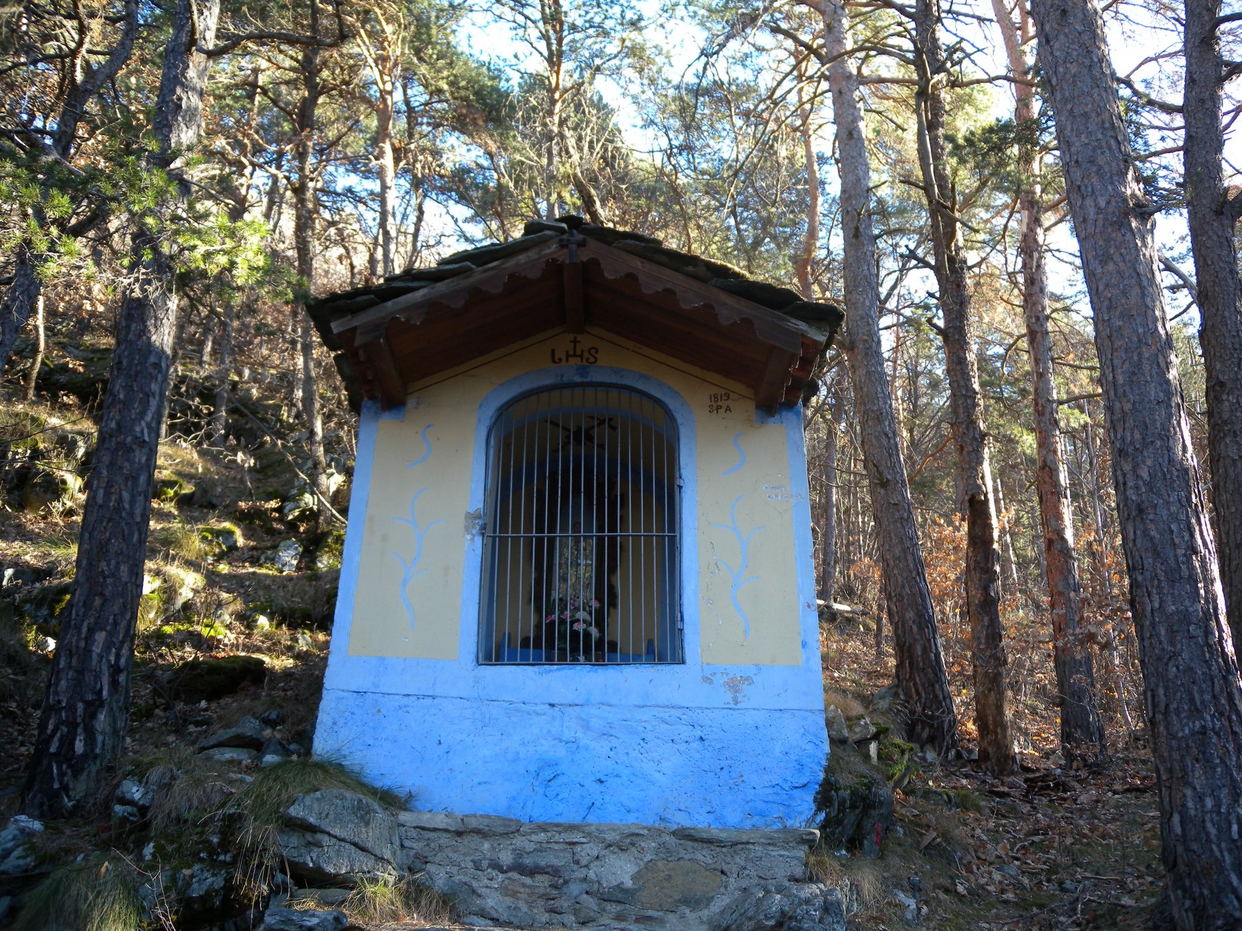
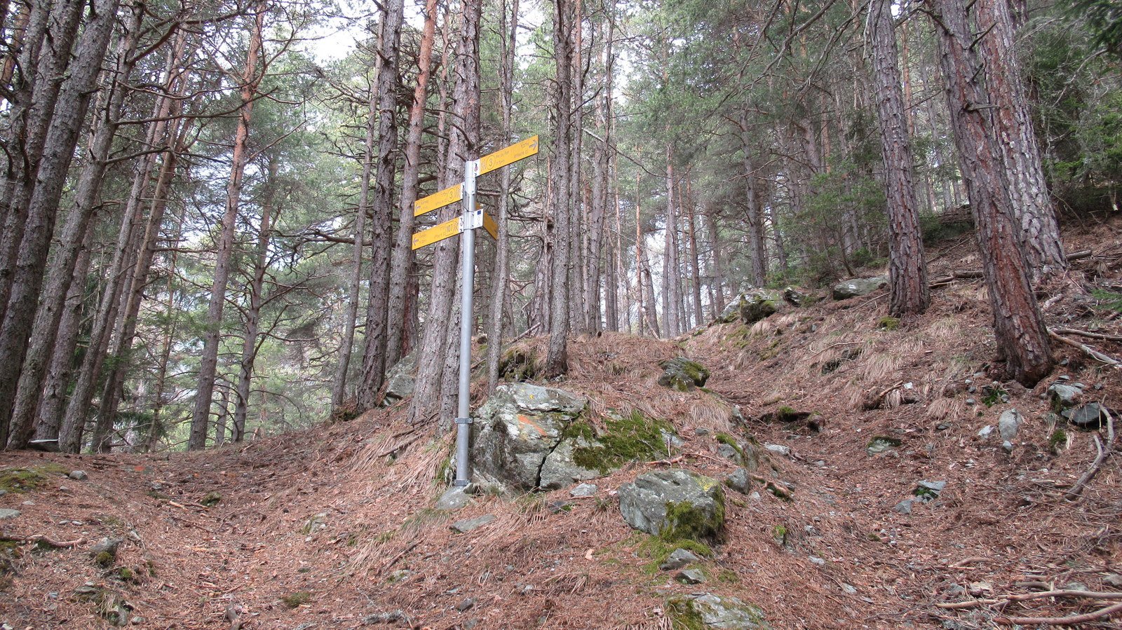
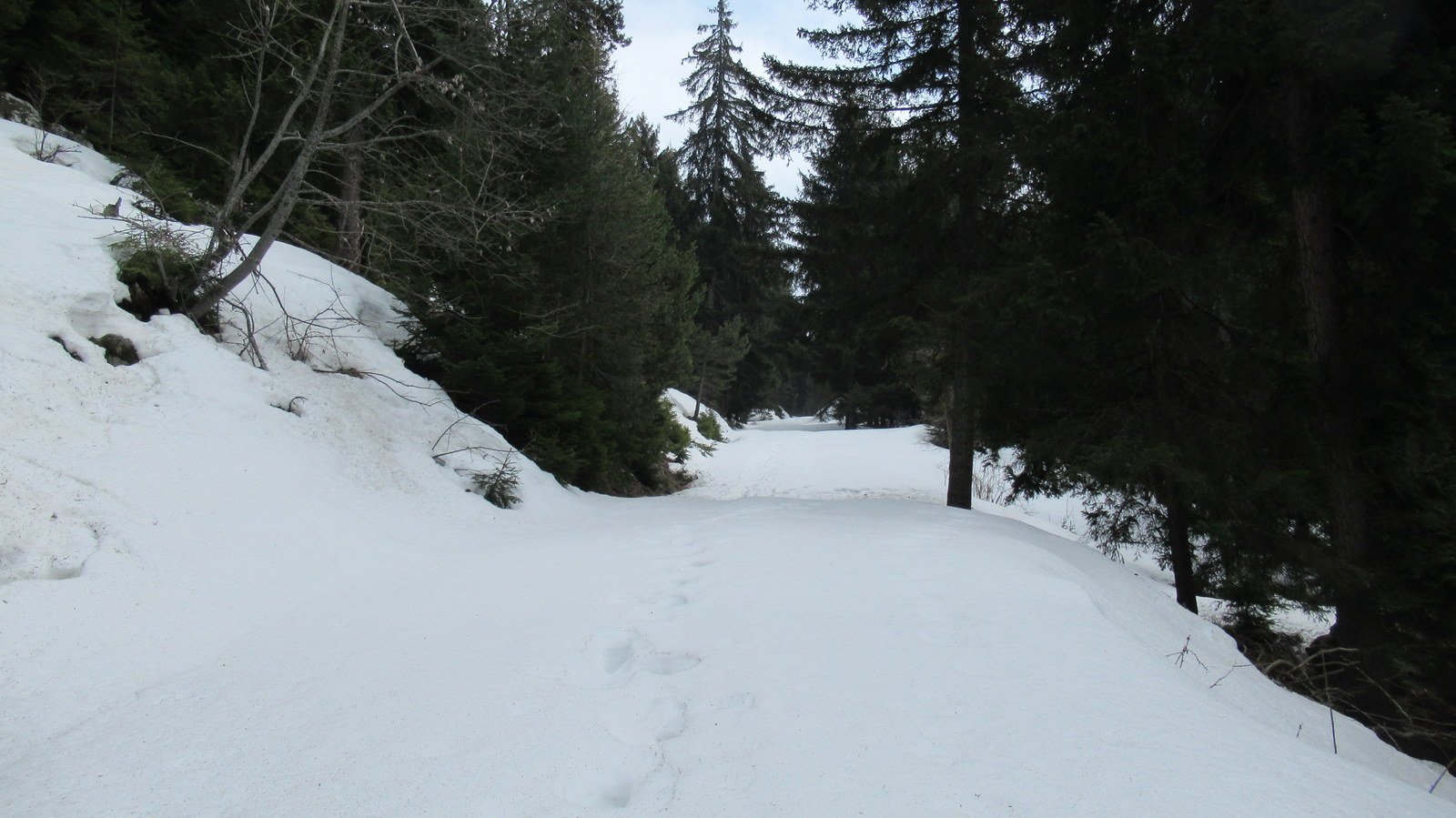
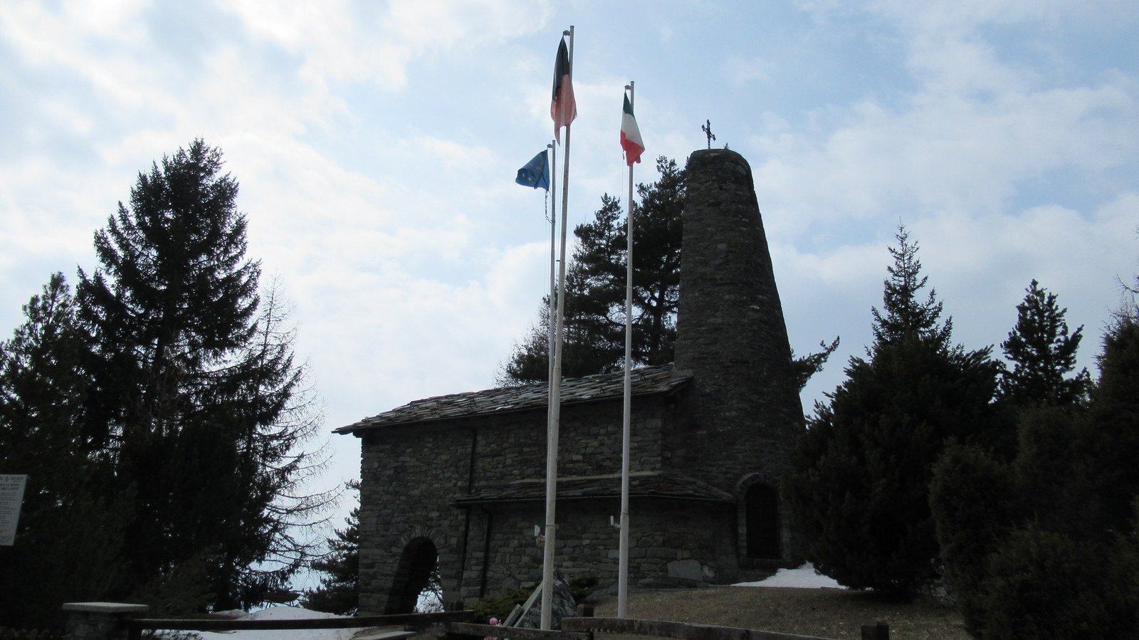
Lo si imbocca a sinistra e, superata una casa, si sale per sentiero incassato in mezzo ai cespugli che poi si inoltra nel bel bosco di conifere. Si procede ripidamente sino al bivio con il sentiero intervallivo n. 107 dove si continua a destra (direzione Col di Joux). Si raggiunge una strada interpoderale, che si segue a destra fino alla palina di q. 1617, dove si lascia il n. 107 per scendere a destra su altra sterrata che conduce alla provinciale per il Col di Joux, ormai in vista della Cappella dei Partigiani q. 1501, appena al di la’ del tornante (vale la pena visitare il luogo).
Si scende quindi a lato della strada asfaltata volgendo subito a destra (trascurare le indicazioni “SLM” e seguire una freccia gialla sulla recinzione del giardino della Cappella). Il sentiero fa un mezzacosta nel bosco ed esce in una ampia radura da attraversare mantenendo la direzione. Al lato opposto, appena si rientra fra i pini, si ritrova la palina che indica il percorso. Si inizia una discesa piu’ decisa passando davanti a due prese d’acqua e poi a lato di un vasto pascolo con gli irrigatori a pioggia, oltrepassato il quale si volge a destra e si torna nel bosco.
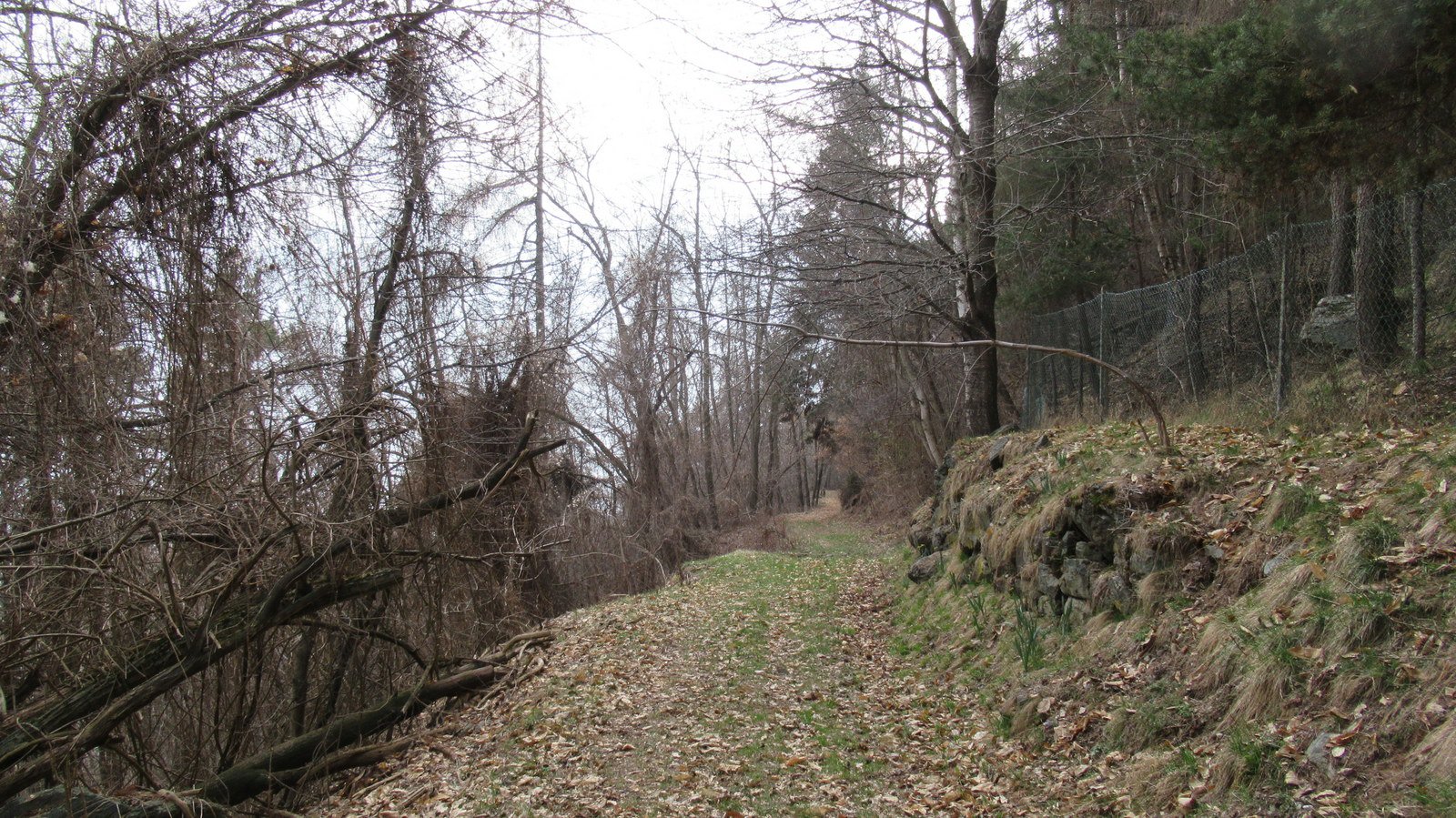
Sempre seguendo i bolli gialli, si arriva fra le case di Pradiran, dove si abbandona il sentiero n. 1 per girare a sinistra su bella ed evidente mulattiera ritrovando le indicazioni “SLM”. Ci si immette poi nel sentiero n. 2 (palina) che giunge a Piane’. Da qui dopo un tratto su asfalto, si scende fra le belle case di Lerinon e riguadagnata la strada asfaltata, la si percorre fino ad una freccia gialla sul guard-rail che indica la prosecuzione del sentiero a sinistra (trascurare le altre indicazioni).
Si continua seguendo i segnavia fino a q. 1000 circa: qui, quando si incontra la provinciale, si trascurano le scritte “SLM” che portano a destra, attraversando invece la strada e proseguendo proprio di fronte. La mulattiera e’ inizialmente poco visibile per i bassi cespugli ma, fatti pochi passi, torna evidente e dopo aver attraversato un’ultima volta l’asfalto, conduce al bivio con il sentiero 1 incontrato salendo.
Si puo’, a questo punto, tornare all’auto per il percorso di salita oppure imboccare il sentiero n. 5 (consigliabile). Con questa seconda opzione, si percorre un bel tratto a balcone sulle case di Saint-Vincent. Si ritrova poi l’asfalto e attraversata la strada, si prosegue ancora scendendo su mulattiera fra le case. Dopo un secondo attraversamento, si raggiungono le Terme, dove si volge a destra su stradina che in breve incrocia la Francigena per la quale si torna al parcheggio.
- Cartografia:
- Carta dei Sentieri n. 13 - Valle Centrale - L'ESCURSIONISTA Editore
Nelle vicinanze Mappa
Itinerari
28/08/2020 AO, Saint-vincent D+ 1200 m E Sud-Ovest
Joux (Col de) da Saint Vincent, anello per il Geosito Tsailleun
 50m
50m
28/11/2009 AO, Saint-Vincent D+ 200 m T Nord
Ussel (Castello di) da Toux
1.6Km
04/05/2022 AO, Saint-Vincent D+ 1370 m E Varie
Cammino Balteo tappa n.7 da Saint Vincent a La Magdaleine
 2.2Km
2.2Km
25/03/2024 AO, Châtillon D+ 1100 m E Ovest
Promiod (Frazione) da Domianaz, anello per Nissod
 2.9Km
2.9Km
17/10/2009 AO, Saint-Vincent D+ 834 m EE Sud
Jetire (Mont) da Petit Rhun
 3.5Km
3.5Km
09/04/2023 AO, Châtillon D+ 1800 m EE Tutte
Zerbion (Monte) e Monte Tantanè da Nissod, anello
 3.6Km
3.6Km
28/05/2022 AO, Montjovet D+ 2000 m EE Tutte
Barbeston (Monte) da Gettaz, anello per il Mont Lyan
 3.6Km
3.6Km
09/05/2017 AO, Montjovet D+ 800 m E Varie
Hérin (Miniera di) da Gettaz, anello
 3.6Km
3.6Km
23/11/2025 AO, Châtillon D+ 550 m E Nord
Praz Garin da Bellecombe, anello
3.6Km
05/09/2020 AO, Châtillon D+ 1550 m E Varie
Barbeston (Monte) da Bellecombe, anello
 3.6Km
3.6Km
Servizi
4Km
4.5Km
Da Vincenzo Ristorante
Montjovet
4.6Km
Nigra Albergo
Montjovet
7.2Km
Laghetto Albergo
Brusson
7.6Km
Le petit monde Ristorante
Ayas
8Km
Ramet Ristorante
Challand-Saint-Victor
8Km
Le Coin des Melezes B&B
Brusson
8.6Km
Le Solitaire Ristorante
Ayas
8.7Km
Lo scoiattolo Ristorante
La Magdeleine
9.2Km