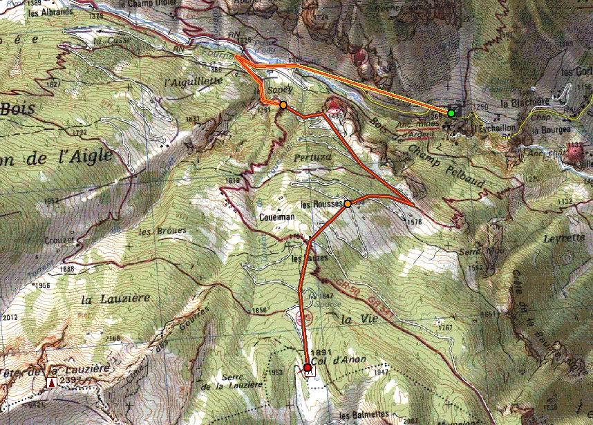
dal parcheggio a Pre d’Aval, seguire la strada verso Prey D’Amount-Col Pousterle (dir.SE) fino al colle (1763). Possibile arrivarvi anche passando da Tournoux (dir. S) e poi traversando dir.E a fianco della pista di fondo sotto la grande parete di roccia.
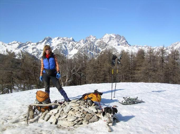
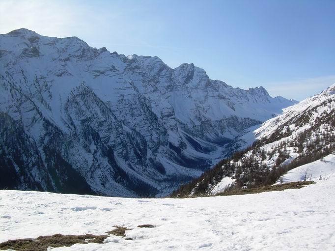
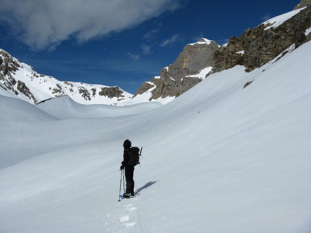
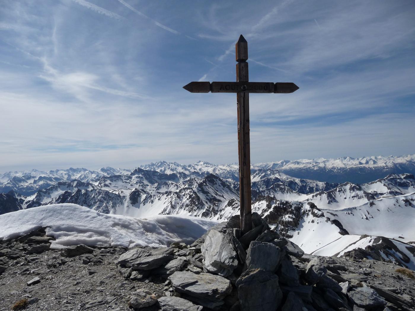
100m dopo il colle piegare a SO salendo obliquamente nel bosco lungo sentiero/sterrata sbucando sul Plateau d’Oreac con vista Vallone Fournel. Percorre il plateau dir.O fino al bivio q. 1950 (indicazioni) a sin (dir. SO) in 20 min. si sale uscendo dal bosco pocchi metri sotto la cima tondeggiante. Vista magnifica su vallone Fournel, Durance e Ecrins(Pelvoux) e …. piste di Puy. max 3ore.
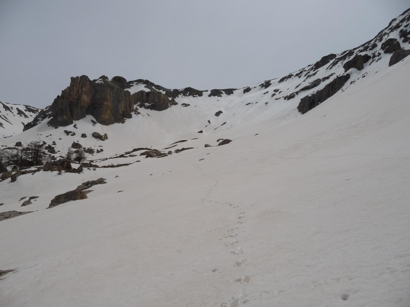
Ritorno per la via di salita o chiudendo il giro: Ovest fino al colle Pre’ Rouge (2006), poi Nord fino al poco visibile Lac des Hermes (1920), quindi ENE nel vallone che scende a Tournoux. Per la pista di fondo o per la variante descritta in salita, tornare a Prey d’Amont e poi Prey d’Aval.
- Cartografia:
- Y.Fouque-M.Liberelle Hautes Halpes, tome 1
- Bibliografia:
- Y.Fouque-M.Liberelle Hautes Halpes, tome 1
Nelle vicinanze Mappa
Itinerari
Aigliere (Pointe de l’) dal Pont de Narreyroux
Anon (Col d’) dal Vallon du Fournel
 4.3Km
4.3Km
Pré de Madame Carle da Pelvoux per Ailefroide
Montbrison (Dome de) da Bouchier, Combe Brune
Lauzière (Tete de la) da les Roberts e la Pointe des Casses de la Font de Lanse
Raisins (Tete des) da les Roberts
 9.4Km
9.4Km
Anon (Col d’) da les Roberts
 9.5Km
9.5Km
Lauzières (Tete des) o le Sablier da les Combes
 11.4Km
Peyre Eyraute (Pic de) versante Sud Ovest e cresta S
 11.8Km
Alpavin (Crete de l’) Versante N
 11.9Km