400m
400m
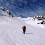
Avvicinamento
 50m
50m
50m
50m
50m
1.8Km
1.8Km
1.8Km
1.8Km
2.2Km
50m
50m
50m
50m
50m
1.8Km
1.8Km
1.8Km
1.8Km
2.2Km
400m
1.3Km
1.3Km
2.2Km
3.1Km
5.1Km
8.3Km
9.6Km
9.8Km
10Km
.
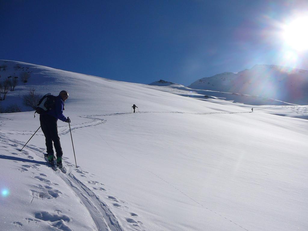
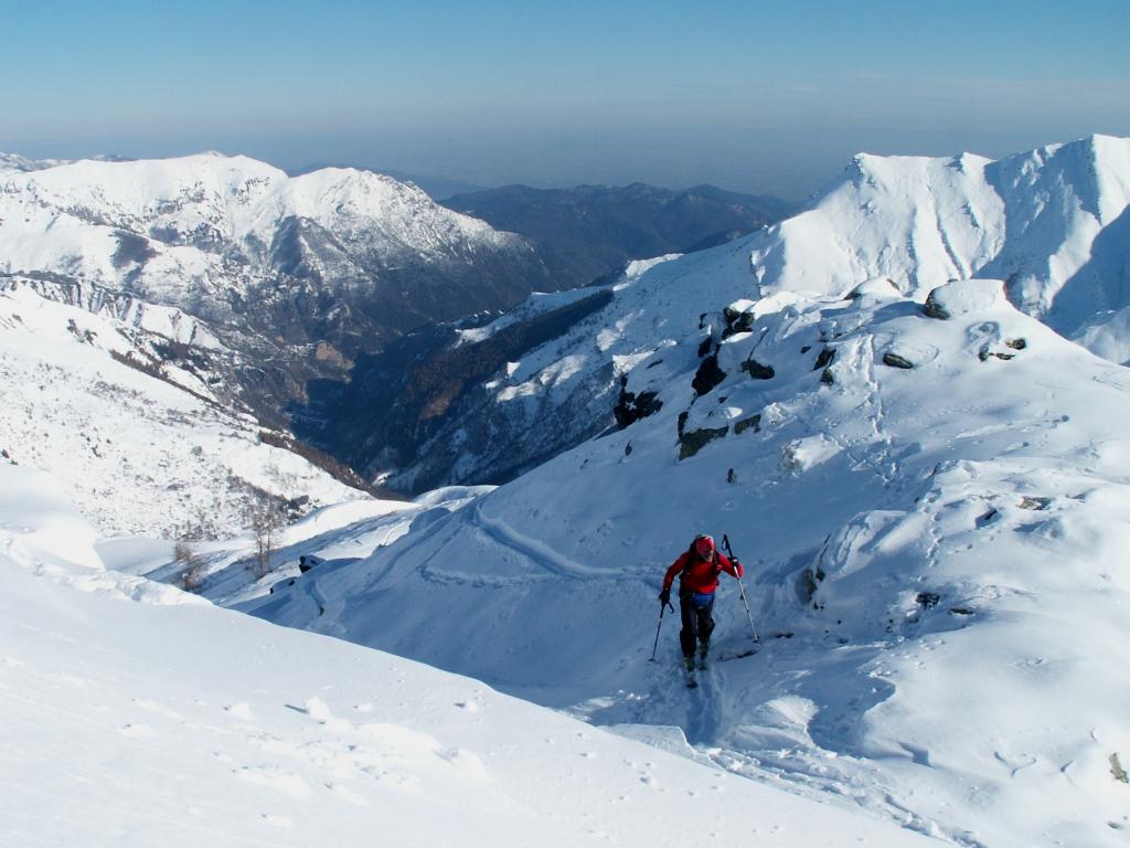
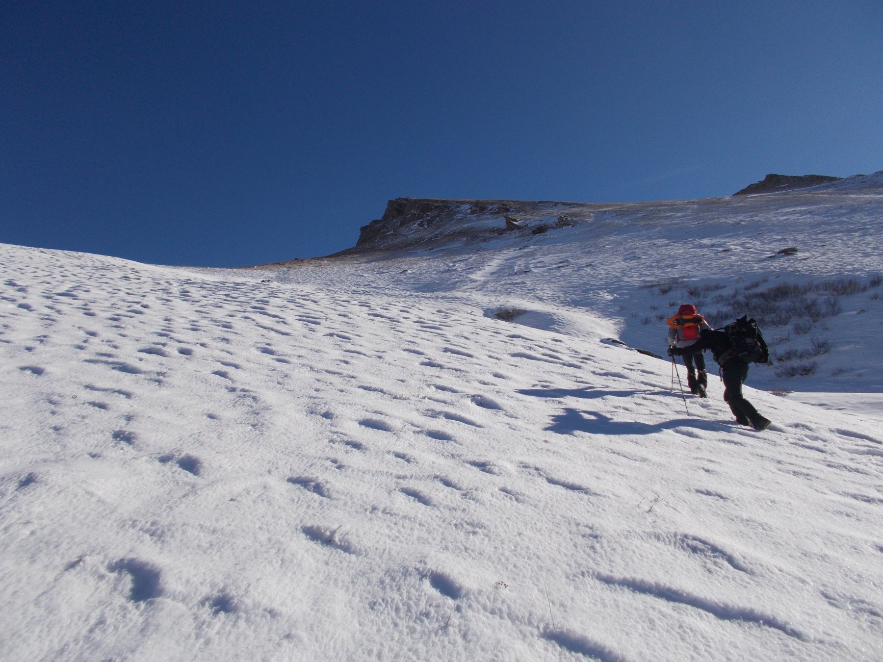
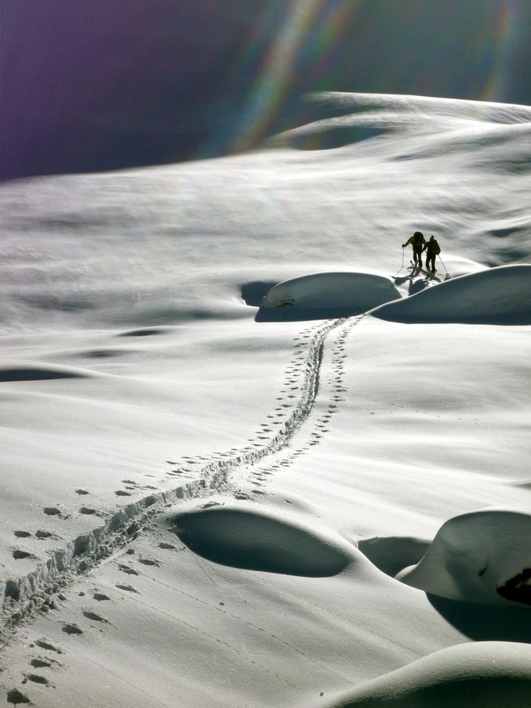
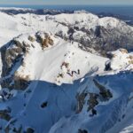
Descrizione
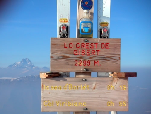
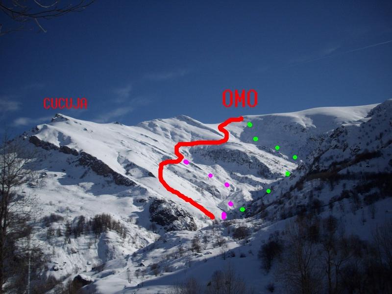
Si raggiunge in traversata dalla rocca Cucuia per dorsale possibilità di continuare verso il Borel!!
Ultima revisione 29/03/2024
Nelle vicinanze Mappa
Itinerari
07/02/2026 CN, Castelmagno D+ 932 m BS Nord
Mulets (Crest di) o quota 2411 m da Chiotti
 50m
50m
23/03/2024 CN, Castelmagno D+ 650 m BS Ovest
Cucuja o Cucuia (Rocca) da Chiotti
 50m
50m
05/03/2023 CN, Castelmagno D+ 822 m BS Nord
Borel (Monte) da Chiotti
 50m
50m
28/01/2018 CN, Castelmagno D+ 850 m BS Nord-Est
Viribianc (Colle Superiore) da Chiotti
 50m
50m
11/02/2016 CN, Castelmagno D+ 1000 m BS Nord
Borel (Monte) da Chiotti, anello per Rocca Cucuja o Cucuia
 50m
50m
13/12/2025 CN, Castelmagno D+ 905 m BS Nord-Est
Fauniera (Cima) da Chiappi
 1.8Km
1.8Km
19/03/2013 CN, Castelmagno D+ 1000 m BS Nord-Est
Viridio (Monte) e Punta Parvo da Chiotti, anello
 1.8Km
1.8Km
05/05/2024 CN, Castelmagno D+ 853 m BS Nord
Viribianc (Cima) da Chiappi
 1.8Km
1.8Km
18/04/2026 CN, Castelmagno D+ 874 m BS Nord-Est
Viridio (Monte) da Chiappi
 1.8Km
1.8Km
28/03/2026 CN, Castelmagno D+ 1100 m BS Tutte
Tibert (Monte) e Punta Tempesta da Santuario di San Magno
 2.2Km
2.2Km
Servizi
400m
1.3Km
Des Martin B&B
Castelmagno
1.3Km
La Valliera Rifugio
Castelmagno
2.2Km
La Font Albergo
Castelmagno
3.1Km
La Susta Ristorante
Castelmagno
5.1Km
Carbonetto Rifugio
Demonte
8.3Km
Lo stau Ristorante
Demonte
9.6Km
Centro fondo Ristorante
Aisone
9.8Km
Locanda Rifugio
Celle di Macra
10Km