 1.6Km
1.6Km
Avvicinamento
 7.6Km
8.1Km
10.7Km
16Km
21Km
22Km
22.2Km
7.6Km
8.1Km
10.7Km
16Km
21Km
22Km
22.2Km
1.6Km
2.4Km
2.7Km
2.8Km
3.8Km
4.2Km
5.2Km
5.5Km
6.6Km
7.6Km
Pinerolo - Perosa Argentina – Pomaretto –Bovile – Alpe Muret .
Alternativamente: Pinerolo – Perosa Argentina – Pomaretto – Perrero – S. Martino – Bovile – Alpe Muret.
Descrizione
Alternativamente: Pinerolo – Perosa Argentina – Pomaretto – Perrero – S. Martino – Bovile – Alpe Muret.
Si consiglia di fermare l’automobile prima di arrivare all’alpe Muret (dove in estate si può trovare il malgaro con la mungitrice trasportabile ), soprattutto perché la strada scende e si allontana dall’obiettivo – P.ta Muret -.
Si troverà una curva verso sx e uno spiazzo a dx dove si possono comodamente mettere in sosta due automobili.
Da qui si procede a piedi sul fronte sud del pendio fino ad uscire dal bosco (non esiste sentiero). Dove finiscono gli alberi si consiglia di cominciare a tenere leggermente e progressivamente sulla dx fino ad arrivare dove il terreno spiana.
Da qui si individua la cresta del Muret da raggiungere in non più di 40 metri di dislivello.
Decollo: Si può scegliere a piacimento su esposizione est ,sud-est.
Una volta decollati si possono scegliere due tracciati: a) in cresta, sorvolando il colle della Buffa; b) in centro valle Germanasca che, dal decollo, rimane sulla dx.
Atterraggio: A Pomaretto sulla dx orografica del fiume in zona Chiabrera, nel prato tra la statale ed il fiume stesso (di fronte vi troverete il campo sportivo tutto recintato).
- Cartografia:
- I.C.G. Valli Susa Chisone e Germanasca N°1
Nelle vicinanze Mappa
Itinerari
12/07/2007 TO, Roure D+ 1723 m Est
Pertiche (Clot delle) Volo del Bourcet
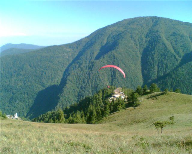 7.6Km
7.6Km
01/09/2007 TO, Prali D+ 1120 m Sud-Ovest
Envie (Cappello d’) Volo del Cappello d’Envie e Bric Rond
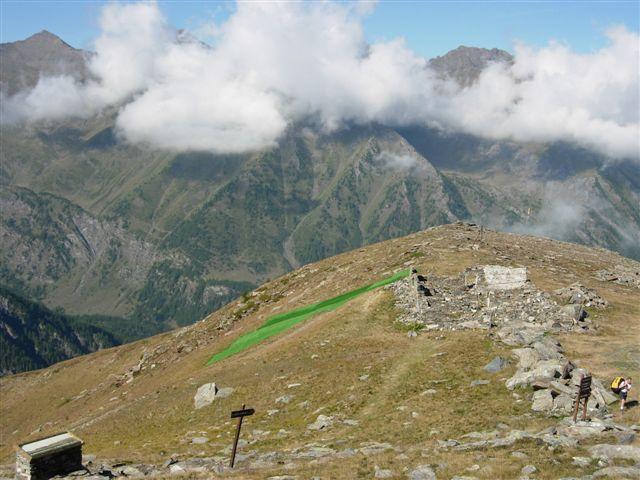 8.1Km
8.1Km
13/10/2006 TO, Roure D+ 1400 m Sud
Jouglard (Mammellone del) Volo del Forte di Fenestrelle
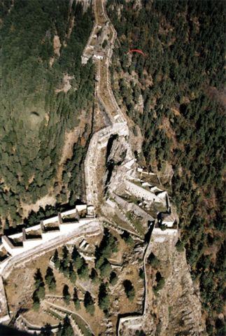 10.7Km
08/11/2014 TO, Perrero D+ 1886 m Est
Gran Truc dal Colle Lazzarà
11.1Km
31/01/2009 TO, Angrogna D+ 818 m Nord
Vantacul (Monte) Cresta Nord da Ponte di Barma Freida
14.1Km
13/01/2007 TO, Pramollo D+ 1426 m Sud-Est
Friera (Pian) Volo della Costa del Lazzarà
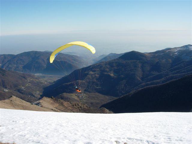 16Km
16Km
21/07/2013 TO, Sauze di Cesana D+ 1400 m Nord-Ovest
Ramière (Punta) o Bric Froid da Argentera
 21Km
21Km
24/05/2014 TO, Rorà D+ 2088 m Nord
Frioland (Monte) volo sulla Val Pellice
21.8Km
07/12/2016 TO, Torre Pellice D+ 1600 m Sud-Est
Vandalino (Monte) da Sea di Torre
 22Km
22Km
01/06/2014 TO, San Pietro Val Lemina D+ 540 m Sud-Ovest
Freidour (Monte) volo del Freidour
 22.2Km
Servizi
1.6Km
2.4Km
La Foresteria Rifugio
Massello
2.7Km
La foresteria di Massello Rifugio
Massello
2.8Km
Da Piero Ristorante
Salza di Pinerolo
3.8Km
Il girasole B&B
Perrero
4.2Km
Peyronel Franco B&B
Perrero
5.2Km
Da Mafalda Ristorante
Prali
5.5Km
GTA Balziglia Rifugio
Massello
6.6Km
Charlie Bar Ristorante
Prali
7.6Km


