 1.8Km
1.8Km
Note
 50m
2.9Km
2.9Km
9.5Km
9.5Km
9.5Km
9.5Km
22.3Km
50m
2.9Km
2.9Km
9.5Km
9.5Km
9.5Km
9.5Km
22.3Km
1.8Km
3.3Km
3.3Km
3.6Km
3.8Km
5.7Km
5.7Km
7.2Km
7.3Km
8.5Km
Il Col du Mont Joux non va confuso con il quasi omonimo Col de Joux, posto invece tra la Val d'Ayas e la collina di Saint Vincent.
Il punto di partenza è indicativo e riferito all'inizio della salita, ma è consigliabile partire da Aosta o Gressan per scaldare la gamba.
L'itinerario è molto soleggiato, quindi indicato anche in primavera o in autunno, mentre d'estate o con giornate molto calde non è consigliabile.
L'ultimo tratto prima del colle presenta un asfalto in condizioni non ottimali, inoltre non viene pulita dalla neve nel periodo invernale.
Avvicinamento
Il punto di partenza è indicativo e riferito all'inizio della salita, ma è consigliabile partire da Aosta o Gressan per scaldare la gamba.
L'itinerario è molto soleggiato, quindi indicato anche in primavera o in autunno, mentre d'estate o con giornate molto calde non è consigliabile.
L'ultimo tratto prima del colle presenta un asfalto in condizioni non ottimali, inoltre non viene pulita dalla neve nel periodo invernale.
Da Aosta proseguire verso Courmayeur fino a Saint Pierre.
Descrizione
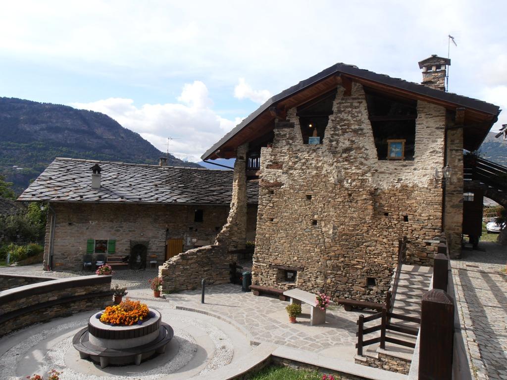
Da Saint Pierre si seguono le indicazioni per Saint Nicolas, risalendo la strada principale nel paese sino ad uscire dall’abitato. Primi 4 km con pendenze piuttosto dolci tra il 5-7%, anche se l’assenza di curve fa sembrare la salita più faticosa. Dopo un paio di tornanti e un lungo rettilineo, si arriva a Saint Nicolas con il capoluogo a 1200 m circa. Qui è consigliabile una breve deviazione fino alla caratteristica chiesa posta su un promontorio esageratamente panoramico.
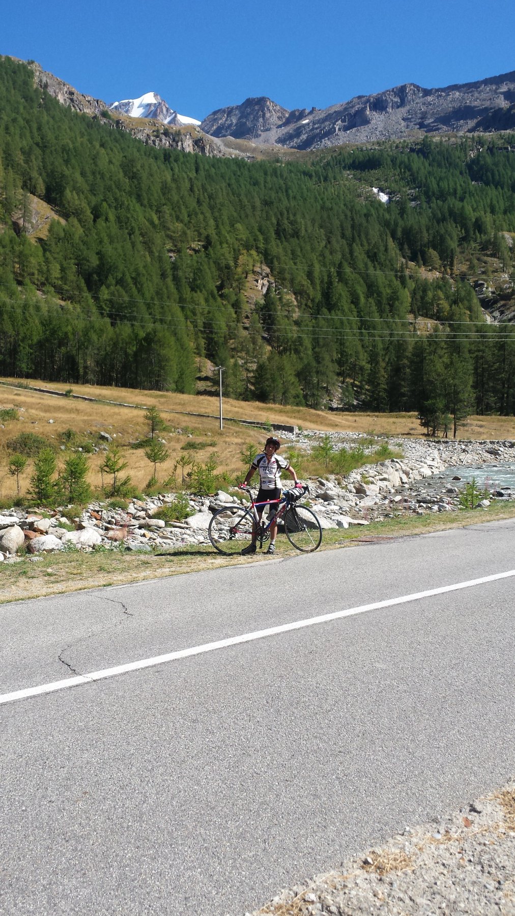
Si continua a salire lungo la strada principale fino alle ultime case, dove poco oltre si incontra un bivio: tenere la sinistra (a destra si va a Vetan) quindi dopo un breve falsopiano ignorare la strada che scende verso Avise per continuare in salita per Cerlogne e Vens. La salita è abbastanza semplice, anche se alterna alcuni strappi più duri (specialmente nella prima parte) ad altri dove si respira. Dopo circa 17 km si arriva al piccolo borgo di Vens 1700 m. Ora si prosegue a destra sull’unica strada asfaltata, che superate le ultime baite, con alcune tagliate nel bosco (pendenza che diventa impegnativa a tratti) raggiunge il Col du Mont Joux 1930 m dove è presente un grazioso laghetto. Oltre la strada diventa sterrata.
Per la discesa Per la discesa occorre in ogni caso tornare fino al bivio di Avise, quindi si può decidere se scendere dal versante di salita, oppure scendere su Avise per poi tornare a Saint Pierre lungo la SS26.
Possibilità di concatenamento con la salita di Vetan, da Saint Nicolas, prevedere ulteriori 500 m di dislivello.
- Cartografia:
- L'Escursionista n.04 Conca di Pila, Aosta, Mont Emilius
Nelle vicinanze Mappa
Itinerari
13/04/2019 AO, Saint-Pierre 16 Km D+ 1094 m Sud
Vetan (Frazione) da Saint Pierre
 50m
50m
02/09/2012 AO, Villeneuve D+ 750 m Nord
Les Combes (Frazione) da Villeneuve
 2.9Km
2.9Km
23/09/2018 AO, Villeneuve 25 Km D+ 1200 m Nord
Thumel (Frazione) da Villeneuve per la Val di Rhemes
2.9Km
06/09/2016 AO, Villeneuve 30 Km D+ 1400 m Nord
Pont Valsavarenche da Villeneuve
 2.9Km
2.9Km
04/08/2016 AO, Arvier 20 Km D+ 1300 m Tutte
Beauregard (Diga di) da Arvier per la Valgrisenche
7.5Km
07/09/2025 AO, Quart 300 Km D+ 8100 m Nord
Gran San Bernardo (Colle del) da Aosta, giro del Monte Bianco per Bourg Saint Maurice, Chamonix, Martigny
 9.5Km
9.5Km
14/08/2025 AO, Aosta 32 Km D+ 1397 m Nord
Place Moulin (Diga di) da Aosta per la Valpelline
 9.5Km
9.5Km
10/08/2025 AO, Aosta 35 Km D+ 1881 m Nord
Gran San Bernardo (Colle del) da Aosta
 9.5Km
9.5Km
17/07/2024 AO, Aosta 29 Km D+ 1490 m Nord
Plan Debat (Champillon) da Aosta
 9.5Km
9.5Km
24/06/2023 AO, Morgex 60 Km D+ 1800 m Nord
Piccolo San Bernardo (Colle del) e Colle San Carlo da Morgex, giro
 22.3Km
Servizi
1.8Km
3.3Km
Chez Marisa Ristorante
Sarre
3.3Km
Gran Paradiso B&B
Jovencan
3.6Km
Carillon Bar
Aymavilles
3.8Km
Le Vieux Noyer B&B
Saint-Pierre
5.7Km
Notre Maison Albergo
Saint Pierre
5.7Km
Vetan Ristorante
Saint-Pierre
7.2Km
Beau Sejour Albergo
Arvier
7.3Km
Atanor Ristorante
Arvier
8.5Km